
 Historic site

 Cable car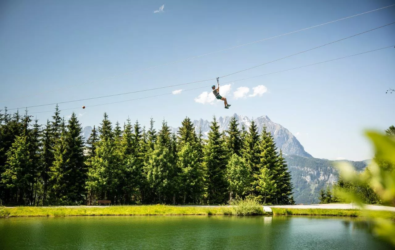





















Curated by Kitzbüheler Alpen Tourismus
Kirchdorf in Tirol
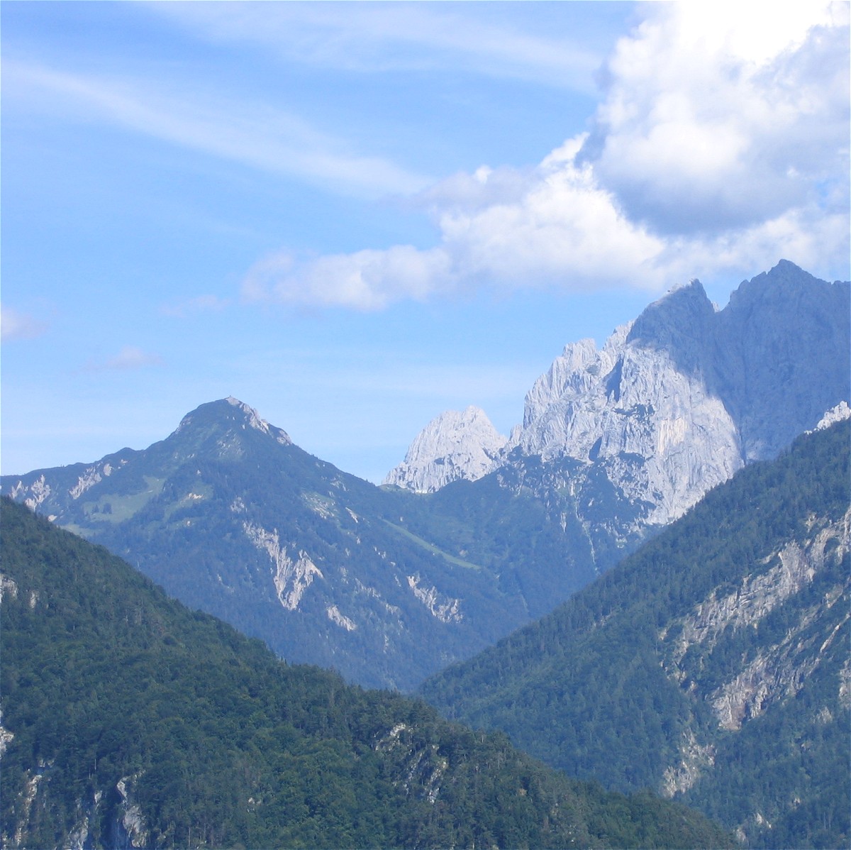
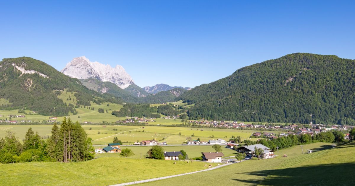
Between the Wilder Kaiser and the Loferer Steinberge on the young Grossache, taking in Gasteig and Erpfendorf, with the Griesbachklamm gorge close by.
- 6Highlights
- 124Routes
- Featured summit · Hintere Goinger Halt
Highlights
9 from neighbouring places
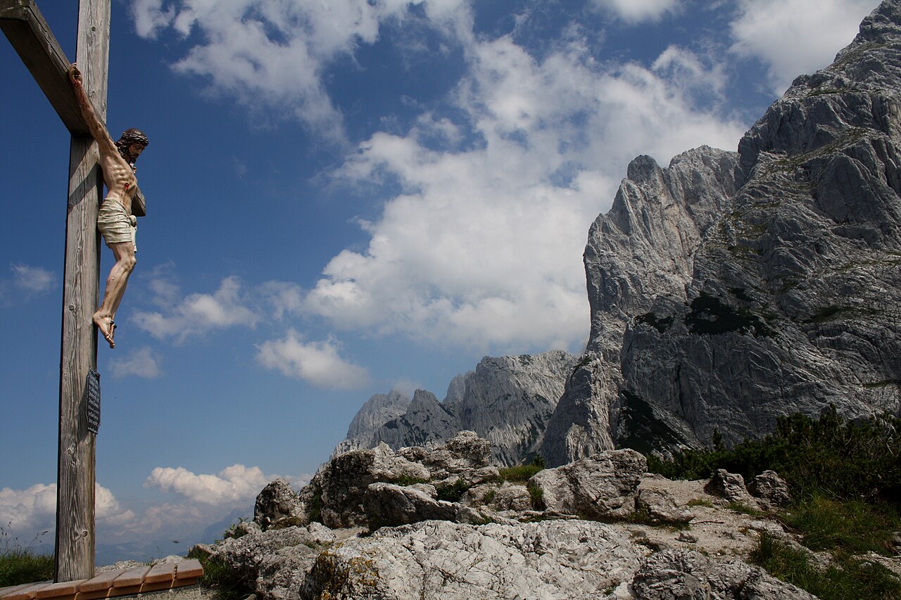
Pavillon am Stripsenkopf
A viewing pavilion on the summit of the Stripsenkopf in the Kaisergebirge above Kirchdorf in Tirol, facing the rock walls of the Wilder Kaiser.
Stripsenjochhaus
An Alpine Club hut on the Stripsenjoch saddle between the Wilder and Zahmer Kaiser above Kirchdorf in Tirol, a base for climbs on the Predigtstuhl and Fleischbank.
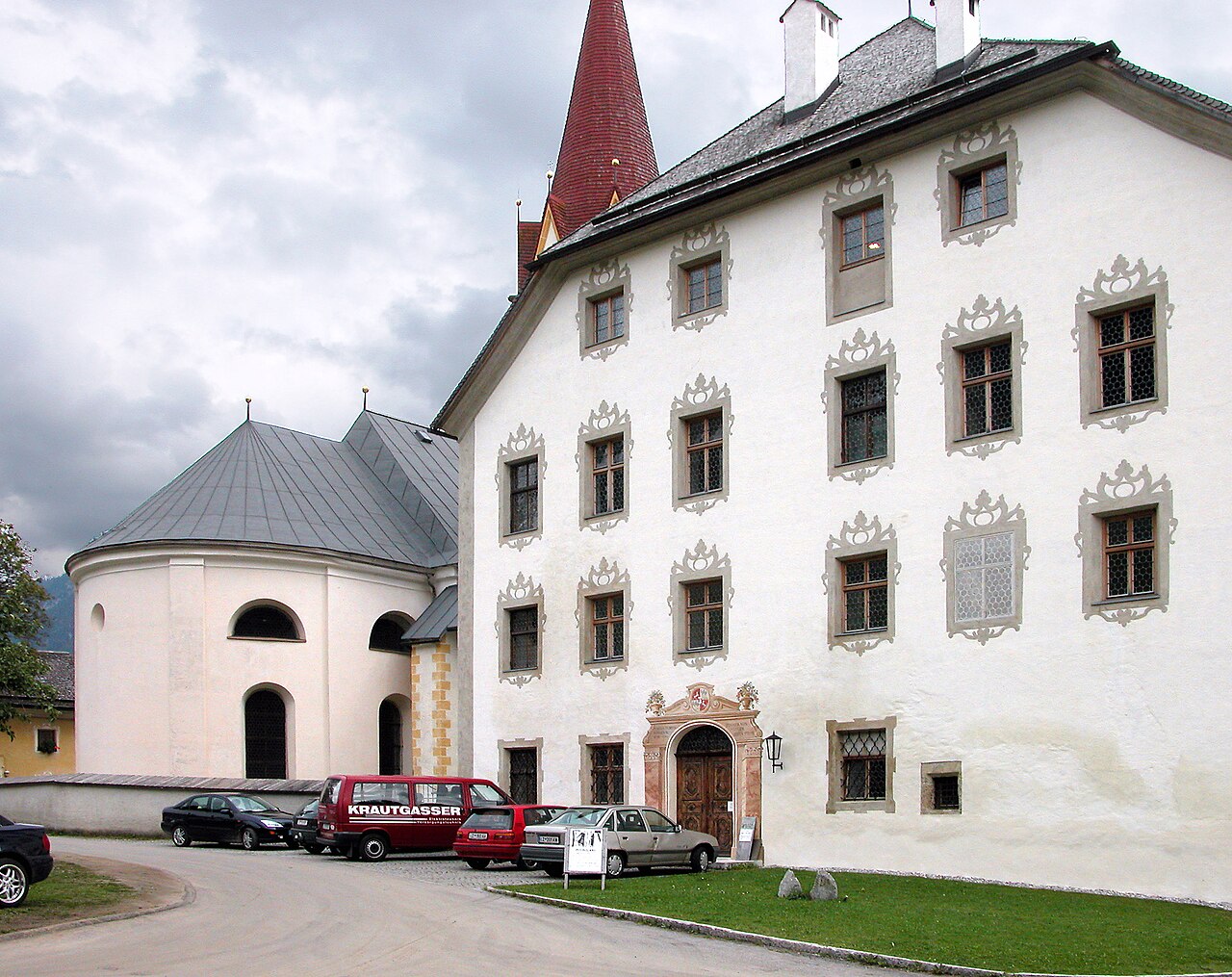
Pfarrkirche zum Hl. Stephan
The parish church of Kirchdorf in Tirol, dedicated to Saint Stephen, at the centre of the village beneath the Wilder Kaiser.
Stripsenjoch und Stripsenkopf
The saddle between the Wilder and Zahmer Kaiser ranges and the grassy summit above it, a classic viewpoint over the Kaiser rock walls.
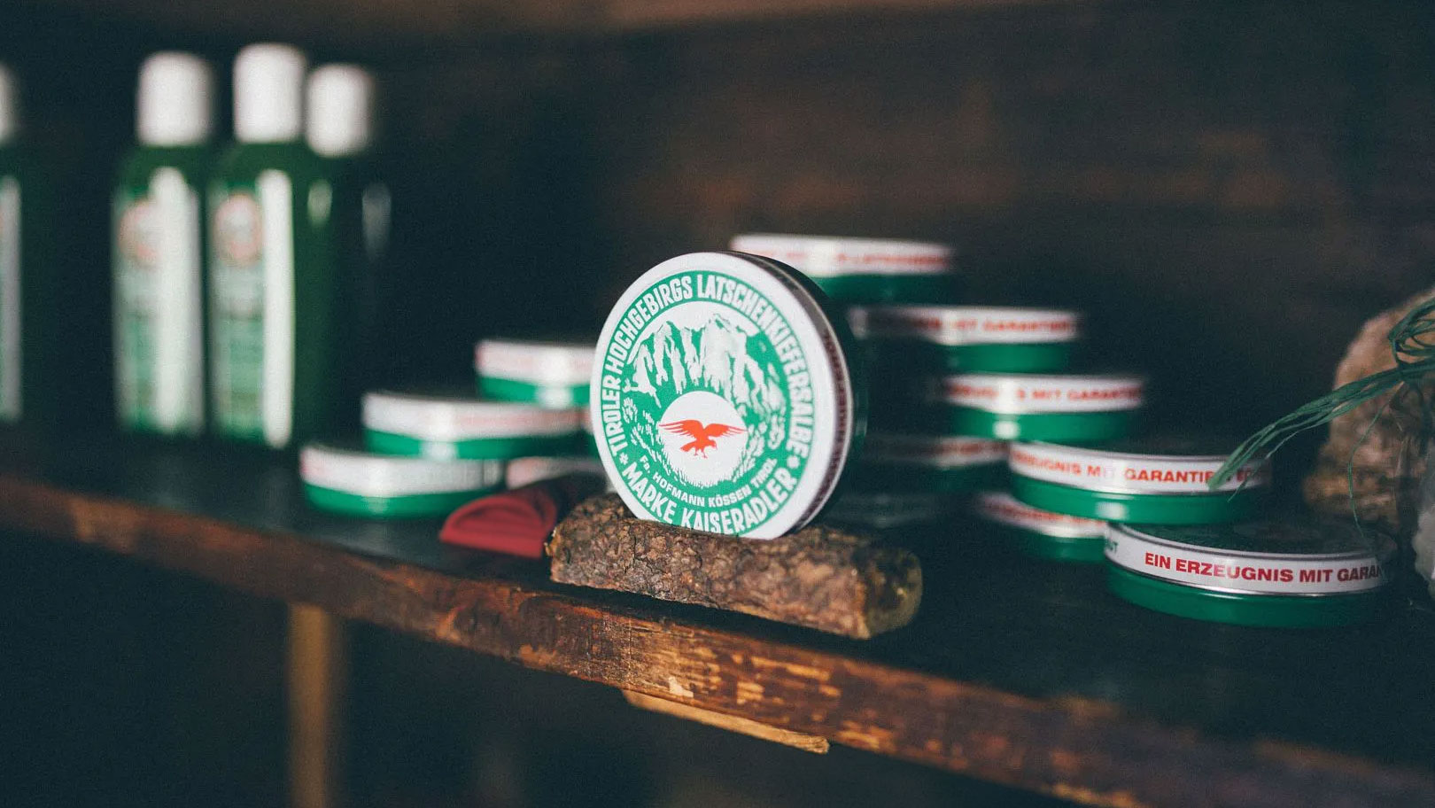
Latschenbrennerei Hofmann im Kaiserbachtal
A traditional distillery in the Kaiserbachtal near Kirchdorf in Tirol, producing mountain-pine oil from dwarf pines by old methods.
Schaukäserei Wilder Käser
A show cheese dairy at Kirchdorf in Tirol below the Wilder Kaiser, where visitors watch cheese being made and taste the results.
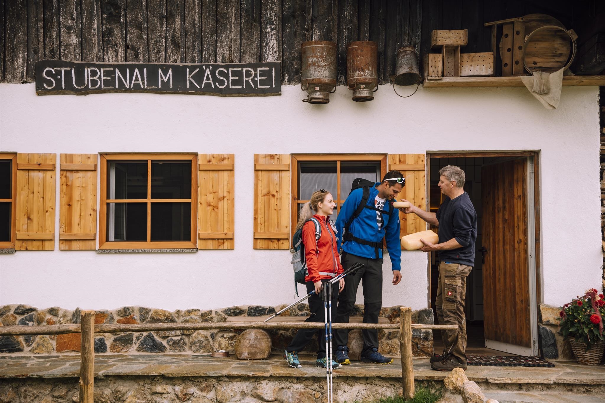
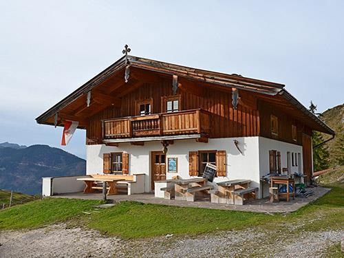
Stubenalm
3.5 km away, in Schwendt
A pasture and snack station above Schwendt at the northern foot of the Kaisergebirge, open to walkers in the summer season.
Untere Schnappenalm
3.8 km away, in Schwendt
A pasture hut on the lower Schnappen pastures above Schwendt, at the northern edge of the Kaisergebirge in the Kaiserwinkl.
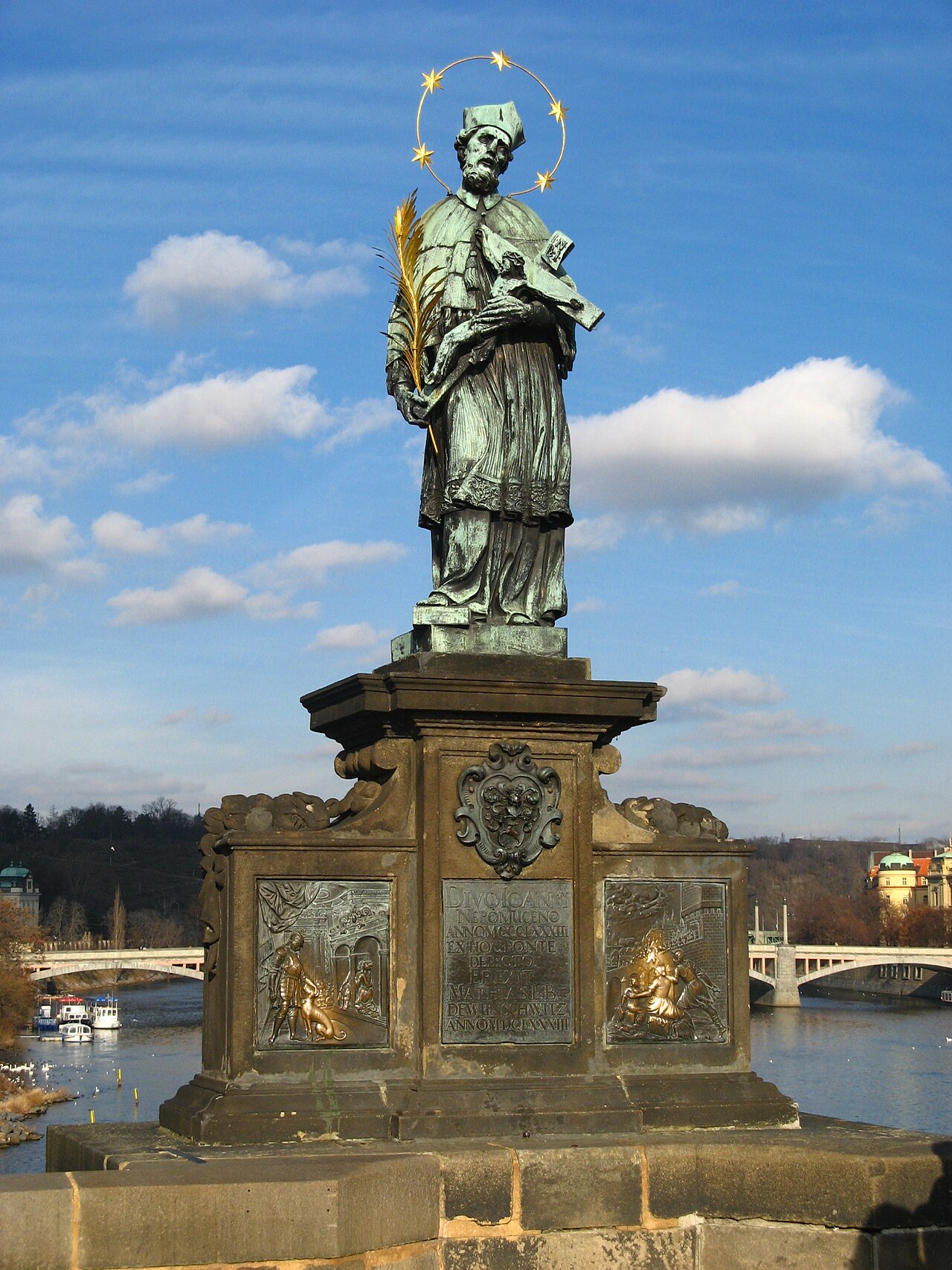
Nepomukstatue
5.4 km away, in St. Johann in Tirol
A statue of Saint John of Nepomuk in St. Johann in Tirol, the bridge saint traditionally placed near water crossings.
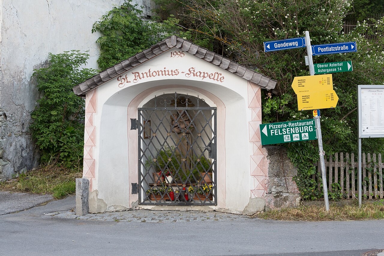
Antoniuskapelle
5.6 km away, in St. Johann in Tirol
A chapel dedicated to Saint Anthony in St. Johann in Tirol, a small baroque building in the centre of the market town.
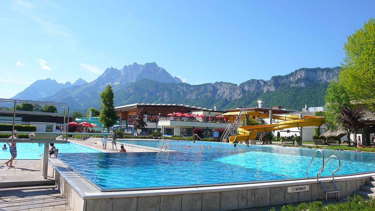
Panorama Badewelt
5.8 km away, in St. Johann in Tirol
The outdoor pool complex of St. Johann in Tirol, with swimming pools and lawns facing the Kaiser mountains.
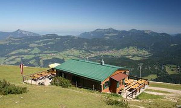
Unterberghornhütte
5.9 km away, in Kössen
A hut near the summit area of the Unterberghorn, the local mountain of Kössen, serving skiers and walkers using the Hochkössen lifts.
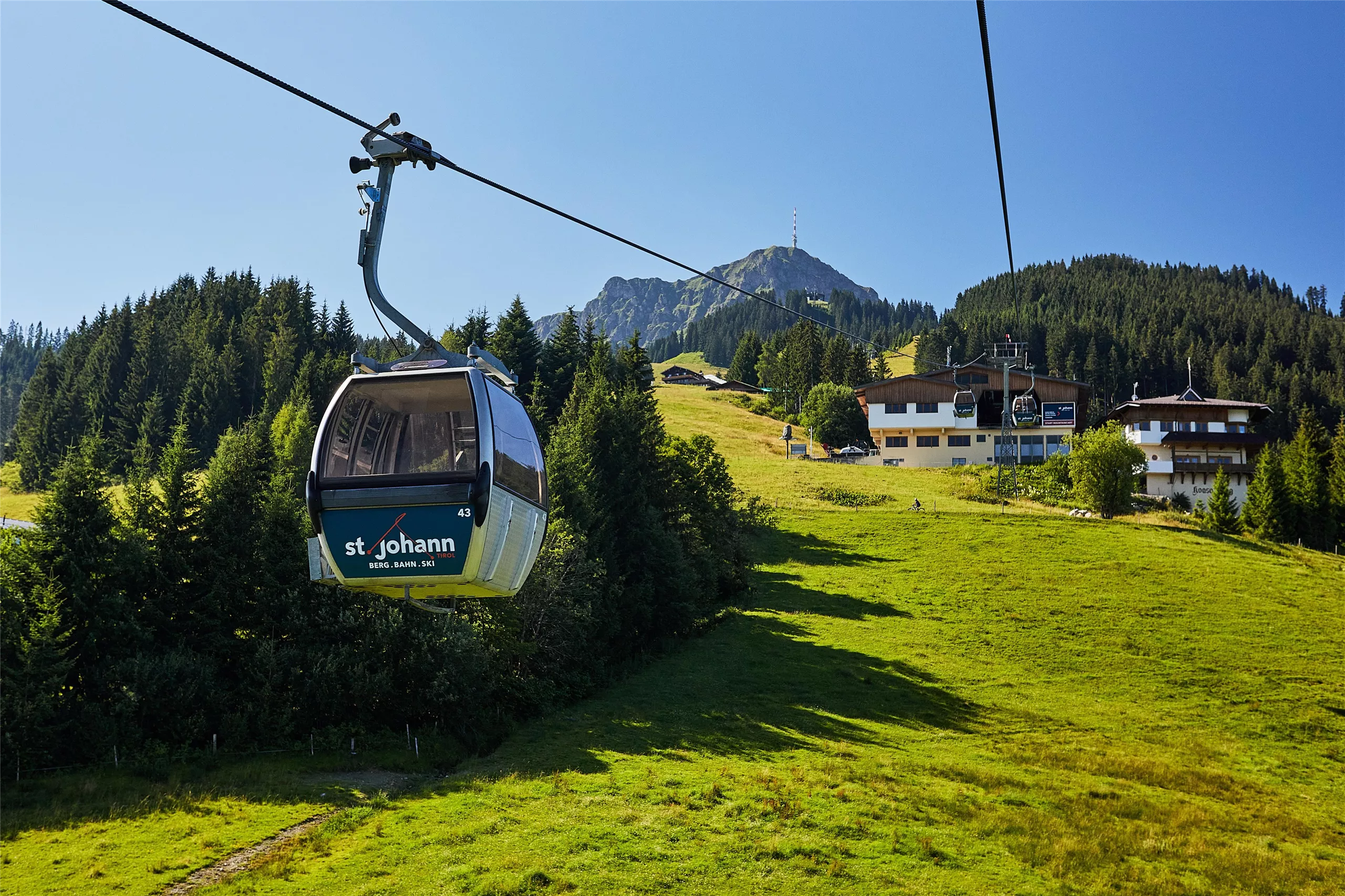
Bergbahnen St. Johann in Tirol
6.2 km away, in St. Johann in Tirol
The lift company on the Kitzbüheler Horn side of St. Johann in Tirol, running gondolas from the town to ski slopes in winter and walking country in summer.
Kletterwald Hornpark & Mountaincart St. Johann
6.2 km away, in St. Johann in Tirol
A high-ropes forest course and mountaincart run at St. Johann in Tirol, with climbing routes through the trees for a range of ages.
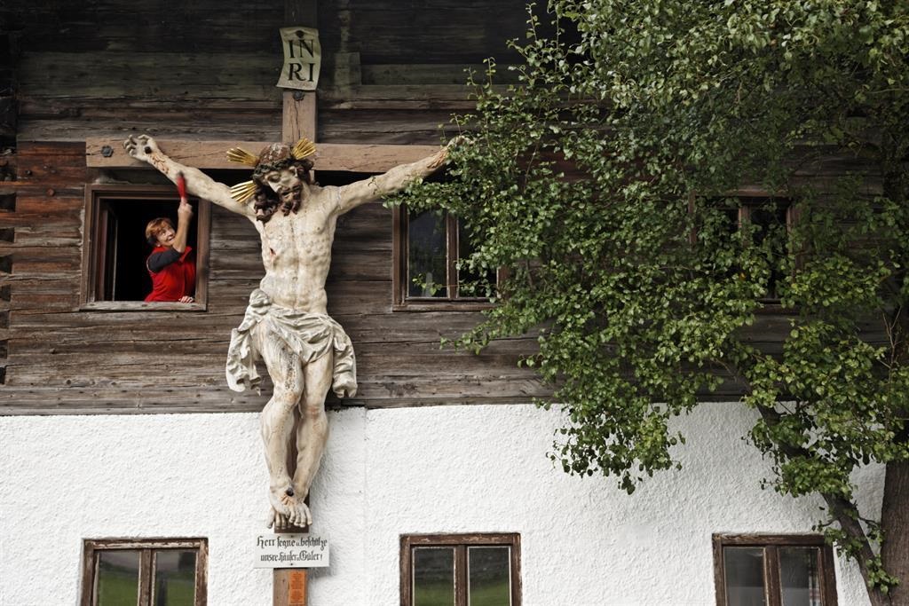
Lederer Herrgott
6.3 km away, in Schwendt
A carved wayside crucifix known as the Lederer Herrgott near Schwendt, a small devotional monument on the paths of the Kaiserwinkl.
Nothing of this kind in Kirchdorf in Tirol.
Routes
50 routes, an even mix of activities · see the rest on kitzbueheler-alpen.com ↗
Umgebung: Klettersteig Stripsenjoch
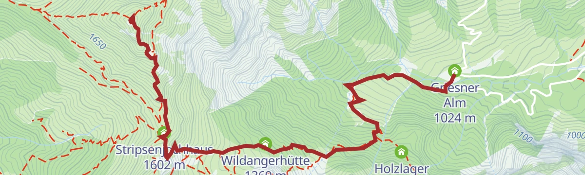
Demanding cabled route at the Stripsenjochhaus, approached from the Griesner Alm and topping out on the Stripsenkopf and the Hundskopf.
- 7.4 km
- Distance
- 811 m
- Ascent
- 6 h 10 min
- Duration
- 83
- Check-ins
Klettersteig Stripsenjoch
Short beginners' via ferrata at the Stripsenjoch above the Stripsenjochhaus, approached in about 1.5 hours from the Griesner Alm or the long way through the Kaisertal.
- 7.4 km
- Distance
- 100 m
- Ascent
- 2 h 58 min
- Duration
- 83
- Check-ins
Stripsenjoch Klettersteige
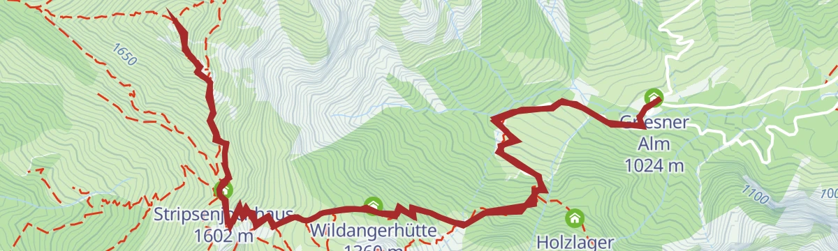
Three-part via ferrata above the Stripsenjochhaus with a rope bridge and an exit variant that is extremely hard; the Stripsenkopf is the high point.
- 3.5 km
- Distance
- 783 m
- Ascent
- 3 h 27 min
- Duration
- 80
- Check-ins
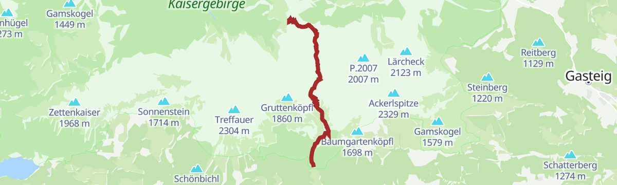
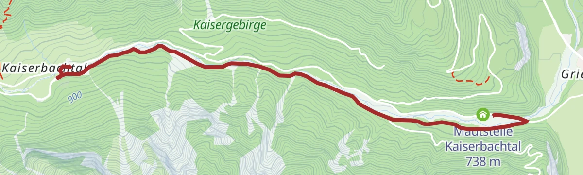
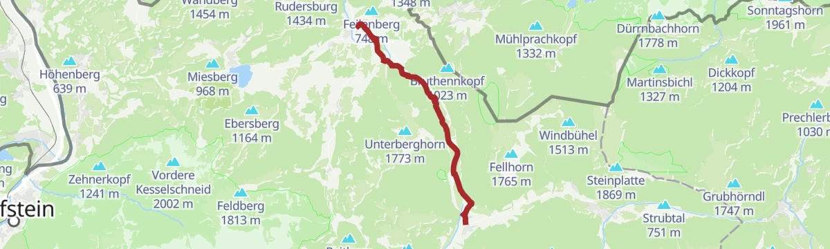
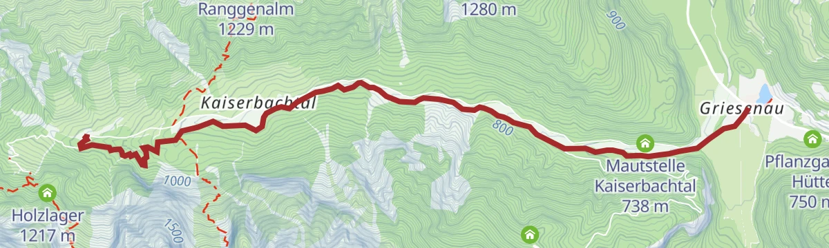
Kaiserbachtal - Griesner Alm
Easy walk up the Kaiserbachtal on path 801, passing the Fischbachalm to reach the Griesner Alm below the Kaiser walls.
- 5.4 km
- Distance
- 273 m
- Ascent
- 1 h 41 min
- Duration
- 12
- Check-ins
Kaiserkrone - Alternativroute Durchschreitung Ellmauer Tor (Eggersteig)
North-to-south crossing of the range: the Eggersteig and the Steinerne Rinne lead from the Stripsenjochhaus through the Ellmauer Tor and down to the Gaudeamushütte.
- 6.3 km
- Distance
- 645 m
- Ascent
- 4 h 53 min
- Duration
- 182
- Check-ins
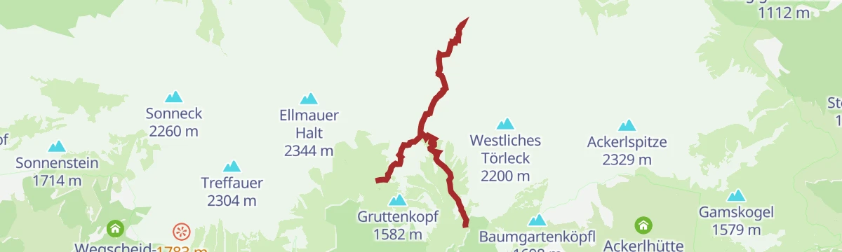
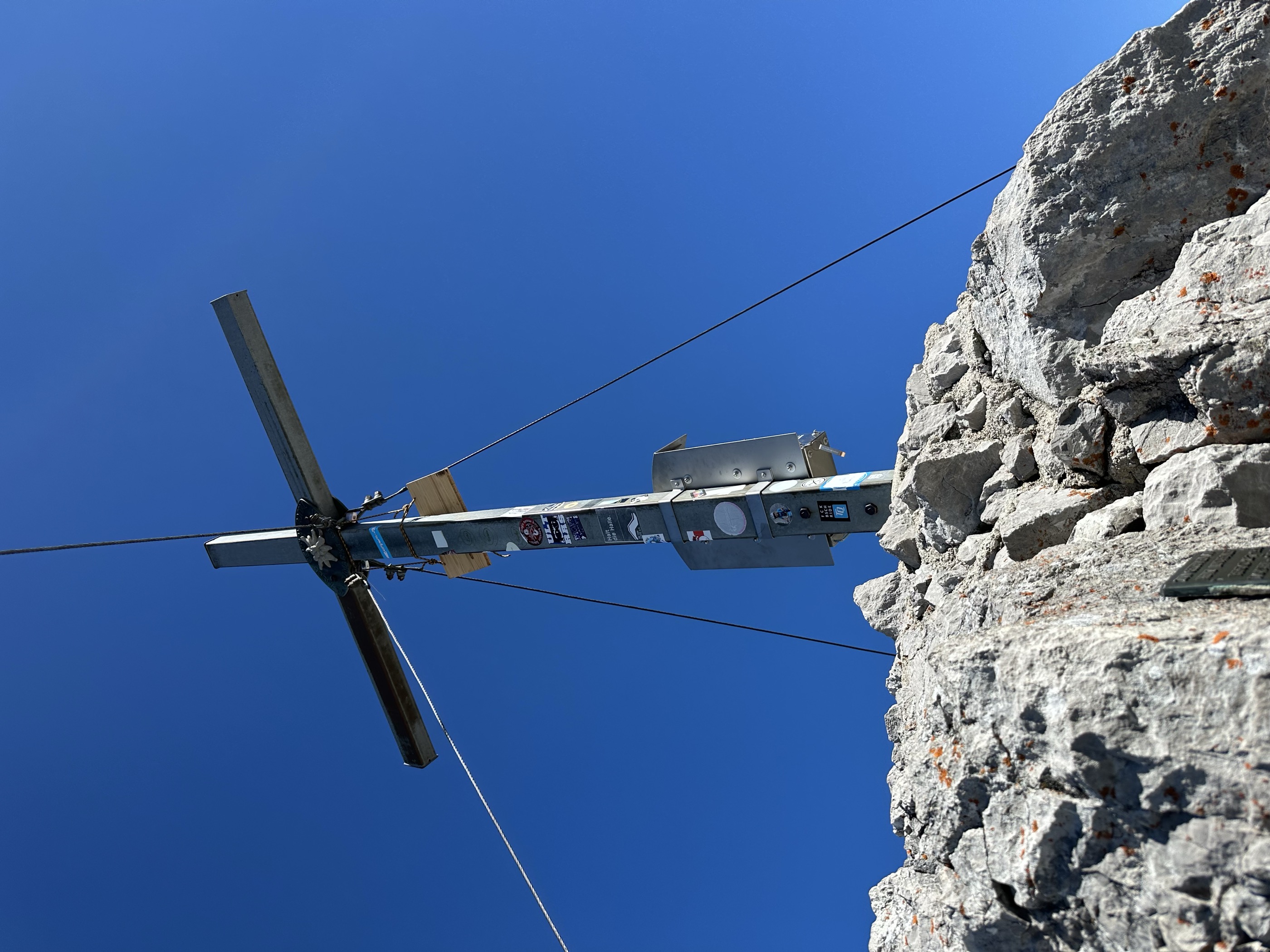
Hintere Goinger Halt
From the Wochenbrunneralm above Ellmau, past the Gaudeamushuette and up scree to the Ellmauer Tor, then a blocky final scramble to one of the Wilder Kaiser's most attainable summits.
- 8.9 km
- Distance
- 1 104 m
- Ascent
- 6 h 32 min
- Duration
- 156
- Check-ins
Skitourengebiet Wilder Kaiser
Ski-touring terrain around the Stripsenjoch in the Wilder Kaiser, combining steep couloirs with long approaches; linking the main lines stacks up over 3,000 m of climbing.
- 19.2 km
- Distance
- 3 122 m
- Ascent
- 3 122 m
- Descent
- 10 h 30 min
- Duration
- 43
- Check-ins
Bike & Hike Schatterberg
Bike-and-hike combination from Kirchdorf: ride to the Metzgeralm, then walk up the Schatterberg to the Ursulablick above the Kaiserbachtal.
- 9.0 km
- Distance
- 720 m
- Ascent
- 1 h 46 min
- Duration
- 14
- Check-ins
 Ursulablick 1 245 m
- Schatterberg 1 274 m
 Metzgeralm 1 018 m
 Stausee Kirchdorf 725 m
- Tourismusbüro Kirchdorf 641 m
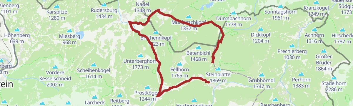
Steinplatte Waidring - Reit im Winkl Runde
A round from Unken to the Steinplatte and Reit im Winkl, by the Winklmoosalm and the Möseralm.
- 45.1 km
- Distance
- 490 m
- Ascent
- 4 h 28 min
- Duration
- 66
- Check-ins
Flusserlebnisweg Großache
A flat, three-kilometre family route along the river at Kirchdorf in Tirol, with almost no height gain over its length.
- 3.2 km
- Distance
- 8 m
- Ascent
- 18 min
- Duration
MTB Nr. 231 - Tour zur Kaiserniederalm
A steady climb out of Kirchdorf in Tirol, passing the reservoir, the Hackeralm and the Einödalm before the top pastures at 1,312 m.
- 18.9 km
- Distance
- 797 m
- Ascent
- 2 h 26 min
- Duration
- 10
- Check-ins
- Stausee Kirchdorf 725 m
- Kaiser Niederalm 1 312 m
- Einödalm 1 259 m
- Kaiser Niederalm 1 318 m
- Hackeralm 1 096 m
- Kl.Priv. Hütte 1 045 m
- +1
Bike & Hike St. Johann in Tirol - Feldberg
A ride up the Kaiserbachtal from St. Johann in Tirol to the Griesner Alm, then on foot over the Stripsenjoch to the Feldberg above.
- 39.3 km
- Distance
- 1 503 m
- Ascent
- 4 h 54 min
- Duration
- 100
- Check-ins
Schnackler Erlebnisweg
Family discovery path in the Kaiserbachtal between the Fischbachalm and the Griesner Alm, with play stations beneath the Wilder Kaiser's north walls.
- 3.8 km
- Distance
- 137 m
- Ascent
- 1 h 14 min
- Duration
- 10
- Check-ins
Griesenau - Stripsenjoch
Direct 633 m climb from Griesenau on paths 801 and 825 to the Stripsenjochhaus, the hut on the saddle between the two Kaiser ranges.
- 3.5 km
- Distance
- 809 m
- Ascent
- 2 h 56 min
- Duration
- 80
- Check-ins
Durchschreitung Ellmauer Tor über Eggersteig
From the Griesner Alm up the Steinerne Rinne on the Eggersteig into the Ellmauer Tor, then down the southern side to the Wochenbrunneralm.
- 8.4 km
- Distance
- 1 112 m
- Ascent
- 6 h 20 min
- Duration
- 143
- Check-ins
Huberalm - Angerlalm - Bike Trail Nr. 266
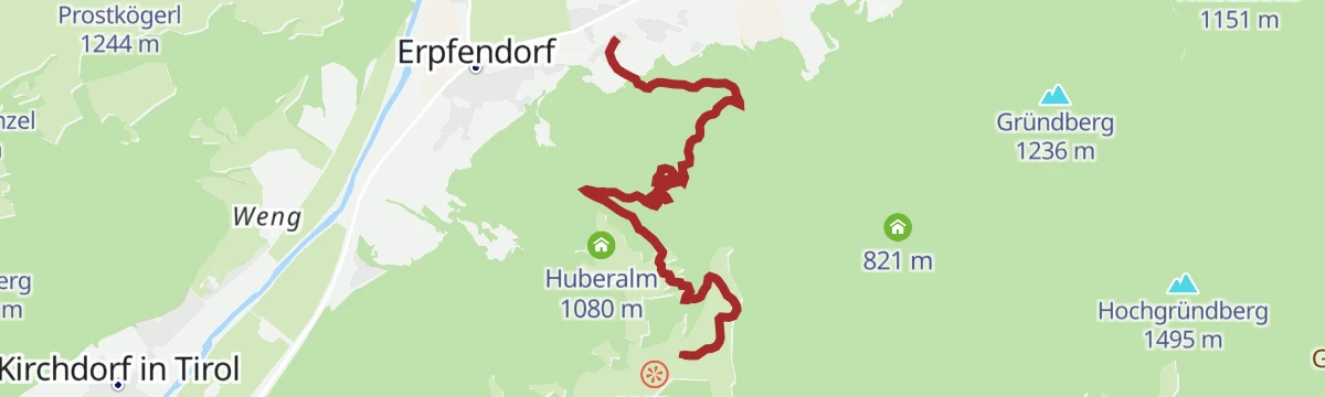
A forest-road ride connecting the Huberalm and the Angerlalm, two alms just above 1,000 m on the same wooded hillside.
- 11.5 km
- Distance
- 601 m
- Ascent
- 1 h 39 min
- Duration
- 13
- Check-ins
Straubingerhaus / Eggenalm
A long day on forest roads from Kössen, climbing past the Nattersbergalm to the Straubinger Haus and the Alpengasthof Hindenburghütte.
- 41.0 km
- Distance
- 1 278 m
- Ascent
- 4 h 50 min
- Duration
- 29
- Check-ins
Bike & Hike St. Johann in Tirol - Stripsenkopf
A long approach ride to the Griesner Alm, with the walk up to the Stripsenjochhaus and the Stripsenkopf at the head of the valley.
- 37.0 km
- Distance
- 1 406 m
- Ascent
- 4 h 37 min
- Duration
- 93
- Check-ins
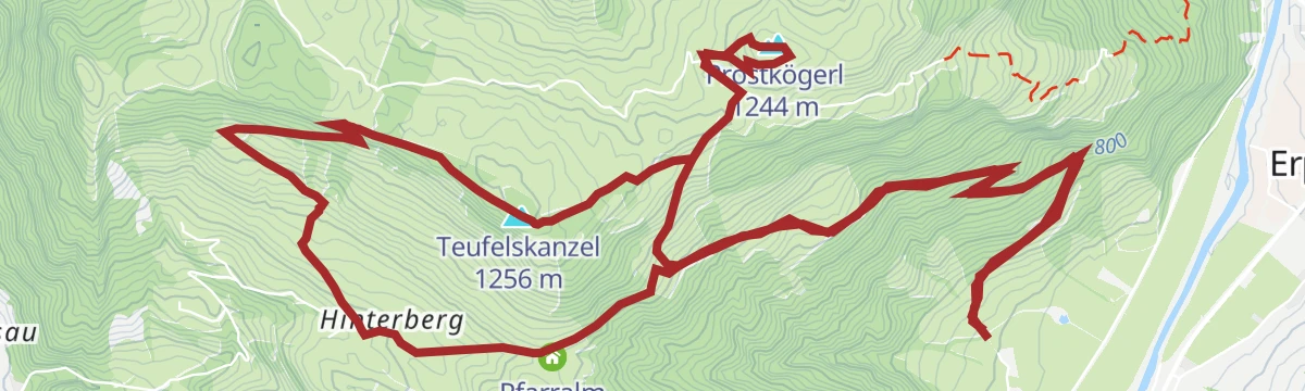
Pfarralm - Feistötzalm - Prostalm - Teufelsgasse
Alm-hopping loop above Kirchdorf that funnels through the Teufelsgasse, a narrow natural corridor of towering weathered rock.
- 6.6 km
- Distance
- 318 m
- Ascent
- 2 h 22 min
- Duration
- 8
- Check-ins
Von der Griesner Alm zum Stripsenkopf
A steady climb out of the Kaiserbachtal to the Stripsenjochhaus, then a final switchbacked rise to a grassy top facing the Wilder Kaiser's north faces head-on.
- 7.2 km
- Distance
- 805 m
- Ascent
- 4 h 51 min
- Duration
- 80
- Check-ins
Ellmauer Tor über Griesner Alm und Eggersteig
A demanding Wilder Kaiser day from the Griesner Alm up the cable-secured Eggersteig to the rocky notch between the Goinger Halt summits; sure-footedness and a head for heights are essential.
- 8.0 km
- Distance
- 1 035 m
- Ascent
- 6 h 5 min
- Duration
- 143
- Check-ins
266 | Angerlalm
A short forest-road climb of some 485 m up to the Angerlalm at 1,103 m, ridden out and back from the valley below.
- 5.3 km
- Distance
- 485 m
- Ascent
- 1 h 9 min
- Duration
- 8
- Check-ins
11 | BIKE TRAIL TIROL: Kössen - Kitzbühel
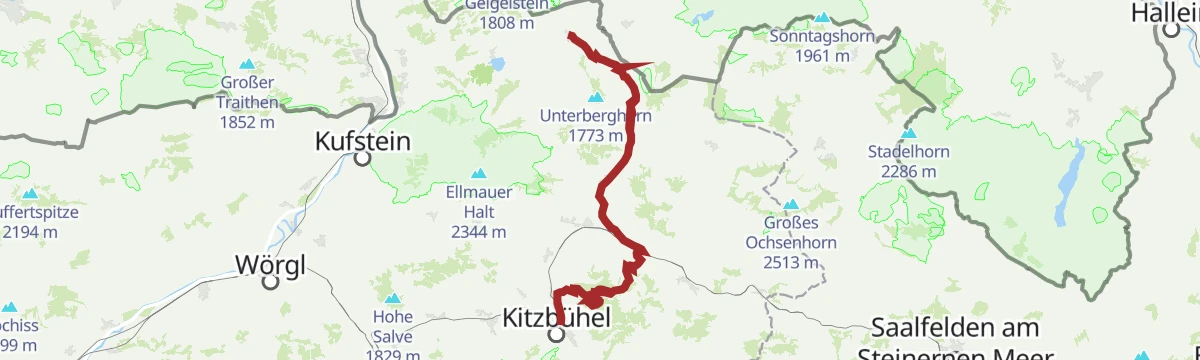
A long traverse stage from Kössen at 590 m over the Obere Reintalalm and the Hornköpfl, finishing in Kitzbühel after more than 2,000 m of ascent.
- 56.1 km
- Distance
- 2 106 m
- Ascent
- 6 h 58 min
- Duration
- 17
- Check-ins
- Hornköpflhütte 1 751 m
- Kitzbühel Tourismus 762 m
- Speicherteich Hornköpfl 1 706 m
- Fritzhütte 1 565 m
- Kössen 590 m
- Obere Reintalalm 1 564 m
- +11
3. Etappe KAT Bike Sport+
The third stage of a multi-day traverse of the Kitzbühel Alps, close to 3,000 m of climbing over the Wildalpgatterl, Lärchfilzhochalm and Stanglalm.
- 106.7 km
- Distance
- 2 992 m
- Ascent
- 12 h 18 min
- Duration
- 81
- Check-ins
Umgebung: Alpine Outdoor Gallery & Schnackler Erlebnisweg
Interpretive nature trail in the Kaisergebirge reserve, running up the Kaiserbachtal from the toll point and past the Fischbachalm.
- 6.7 km
- Distance
- 117 m
- Ascent
- 1 h 52 min
- Duration
- 6
- Check-ins
Kaiserkrone - Alternativroute Stripsenjochhaus - Abstieg durchs Kaiserbachtal
Descent-only variant off the Stripsenjochhaus, dropping through the Kaiserbachtal by the Griesner Alm to Griesenau with virtually no climbing.
- 7.9 km
- Distance
- 0 m
- Ascent
- 2 h 39 min
- Duration
- 65
- Check-ins
3-Tage Hüttentour - Etappe 2
Second hut-tour stage: from the Gaudeamushütte up through the Ellmauer Tor, over the Hintere Goinger Halt and along the Jubiläumssteig to the Gruttenhütte.
- 5.9 km
- Distance
- 1 052 m
- Ascent
- 5 h 16 min
- Duration
- 116
- Check-ins
Waidring - Huberalm 266
A forest-road climb out of the Pillerseetal, starting by the village lifts at Schindldorf and gaining 465 m to the alm at 1,080 m.
- 11.5 km
- Distance
- 465 m
- Ascent
- 1 h 27 min
- Duration
- 8
- Check-ins
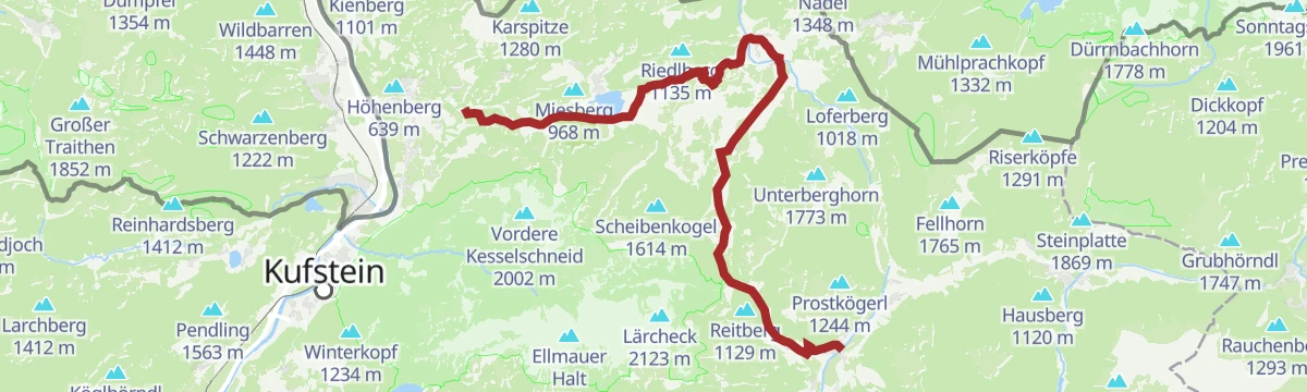
Mozartradweg Etappe 12, 13
Two linked stages through the Kaiserwinkl, running past the Stausee Kirchdorf and Kössen to the Pflanzgarten Hütte above the valley.
- 37.5 km
- Distance
- 423 m
- Ascent
- 3 h 41 min
- Duration
- 15
- Check-ins
- Pflanzgarten Hütte 750 m
- Liftstüberl 688 m
- Stausee Kirchdorf 725 m
- Kaiseralm 629 m
- Kössen 590 m
- Riedlhof 668 m
- +1
02 - Rund um die Salve und den Kaiser
A long road loop out of Scheffau down to Kufstein and back through Hopfgarten, passing the Erlensee on the return.
- 95.3 km
- Distance
- 1 074 m
- Ascent
- 9 h 28 min
- Duration
- 34
- Check-ins
Alpine Outdoor Gallery
Open-air photography walk in the Kaiserbachtal, where large-format alpine images line the track between the toll gate and the Fischbachalm.
- 6.7 km
- Distance
- 154 m
- Ascent
- 1 h 58 min
- Duration
- 6
- Check-ins
Kaiserkrone - Etappe 5
Closing Kaiserkrone stage from Gasteig along the Wilder-Kaiser-Steig over the Ursulablick and the Gscheuerkopf, descending by the two Graspoint alms to Going.
- 10.8 km
- Distance
- 891 m
- Ascent
- 5 h 35 min
- Duration
- 26
- Check-ins
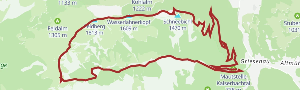
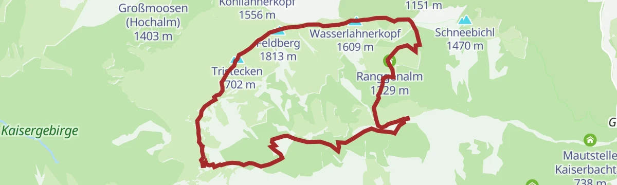
Kaiserbachtal - Feldberg - Stripsenjoch
Long round from the Kaiserbachtal over the Feldberg and the Tristecken to the Stripsenjoch, crossing open pasture with the Kaisergebirge in view.
- 20.8 km
- Distance
- 1 172 m
- Ascent
- 8 h 17 min
- Duration
- 95
- Check-ins
231 | Kaiserniederalm
A steep forest-road climb above Kirchdorf in Tirol past the Hackeralm and the Einödalm, ending at the Kaiser Niederalm at 1,312 m.
- 6.0 km
- Distance
- 615 m
- Ascent
- 1 h 26 min
- Duration
- 7
- Check-ins
Klausenbergrunde mit Straubinger Haus
A 39 km round out of Kössen with the hut at 1,558 m as its high point, returning past the lifts at Hochkössen.
- 38.9 km
- Distance
- 1 171 m
- Ascent
- 4 h 33 min
- Duration
- 14
- Check-ins
8 Rund um den Wilden Kaiser
A long road circuit of the Wilder Kaiser from Ellmau, running out to Walchsee and back by way of Kitzbühel and the Ellmauer Alm.
- 87.9 km
- Distance
- 1 199 m
- Ascent
- 8 h 56 min
- Duration
- 31
- Check-ins
Kirchdorfer Sonnseitrunde mit Stausee
Sunny-side loop above Kirchdorf with the small reservoir as its halfway point, on lanes and forest paths facing the Wilder Kaiser.
- 6.6 km
- Distance
- 315 m
- Ascent
- 2 h 20 min
- Duration
- 3
- Check-ins
- Stausee Kirchdorf 725 m
Kohlalm - Feldberg
Ascent on path 74 by the Berggasthof Kohlalm to the Feldberg and the Wasserlahnerkopf, returning over the Obere Scheibenbichlalm.
- 8.0 km
- Distance
- 623 m
- Ascent
- 4 h 2 min
- Duration
- 16
- Check-ins
Kaiserkrone - Etappe 4
Fourth Kaiserkrone stage: over the Stripsenkopf and the Feldberg from the Stripsenjochhaus, then down by the Scheibenbichlalmen to Griesenau and Gasteig.
- 16.1 km
- Distance
- 657 m
- Ascent
- 6 h 41 min
- Duration
- 92
- Check-ins
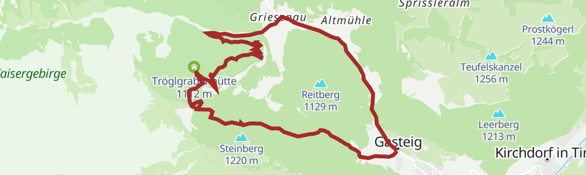
Maukalm - Tröglgraben – Kaiserbachtal
A forest-road loop in the Kaiserbachtal from the toll point, climbing to the Tröglgrabenhütte at 1,112 m before dropping back to the valley road.
- 13.7 km
- Distance
- 553 m
- Ascent
- 1 h 44 min
- Duration
- 5
- Check-ins
MTB Nr. 249, 248 - Panorama Anstieg zum Straubinger Haus
A long forest-road climb out of Kössen, from Sigis Sportklause on the valley floor up to the alpine hut at 1,558 m.
- 35.8 km
- Distance
- 1 336 m
- Ascent
- 4 h 26 min
- Duration
- 13
- Check-ins
12 Kleine Bayern-Runde
A ninety-five-kilometre road loop out of Kitzbühel that dips across the Bavarian border, returning by Klobenstein and the Kohlentalmühle.
- 95.3 km
- Distance
- 1 302 m
- Ascent
- 9 h 41 min
- Duration
- 28
- Check-ins
Stubenalm
Straightforward alm walk from the Gasthof Altmühl side of Kirchdorf, climbing through forest to a pasture hut with Kaiser views.
- 5.1 km
- Distance
- 325 m
- Ascent
- 2 h 13 min
- Duration
- 1
- Check-ins
Feistötzalm - Prostalm - Teufelsgasse - Pfarralm über Weng
Extended alm round from Weng above Kirchdorf, crossing the Prostkögerl and squeezing through the rock corridor of the Teufelsgasse before returning past the Pfarralm.
- 13.4 km
- Distance
- 784 m
- Ascent
- 5 h 28 min
- Duration
- 15
- Check-ins
Koasa Trail Etappe 2
This stage climbs into the Kaiserbachtal beneath the Wilder Kaiser's north walls, topping out at the Stripsenjoch beside its alpine club house before dropping to the Griesner Alm.
- 11.8 km
- Distance
- 1 065 m
- Ascent
- 6 h 41 min
- Duration
- 89
- Check-ins
Leukentalradweg
A near-flat valley track ride around Kössen, passing Sigis Sportklause and the Pinsgerhof below the Hochkössen lift station.
- 14.6 km
- Distance
- 103 m
- Ascent
- 1 h 22 min
- Duration
- 3
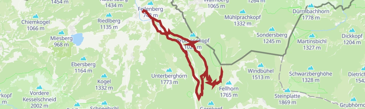
- Check-ins
Um den Unterberg
A long, nearly level circuit on valley tracks from Kössen, passing the reservoir at Kirchdorf, the Kaiseralm and the Pflanzgarten Hütte.
- 36.1 km
- Distance
- 296 m
- Ascent
- 3 h 28 min
- Duration
- 12
- Check-ins
- Pflanzgarten Hütte 750 m
- Stausee Kirchdorf 725 m
- Kaiseralm 629 m
- Sigis Sportklause 613 m
- Kössen 590 m
- Pinsgerhof 607 m
- +3
Kaiserradrunde
An eighty-five-kilometre circuit of the Wilder Kaiser on cycle paths and quiet roads, passing Ellmau and the villages on each side of the range.
- 85.5 km
- Distance
- 1 116 m
- Ascent
- 8 h 38 min
- Duration
- 28
- Check-ins
Große Griesbachrunde
A 6 km round along the Griesbach for anyone after a brisk, easy hour or two out of doors.
- 6.1 km
- Distance
- 223 m
- Ascent
- 1 h 58 min
- Duration
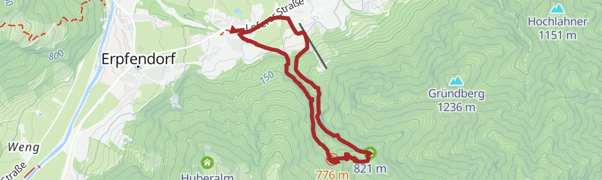
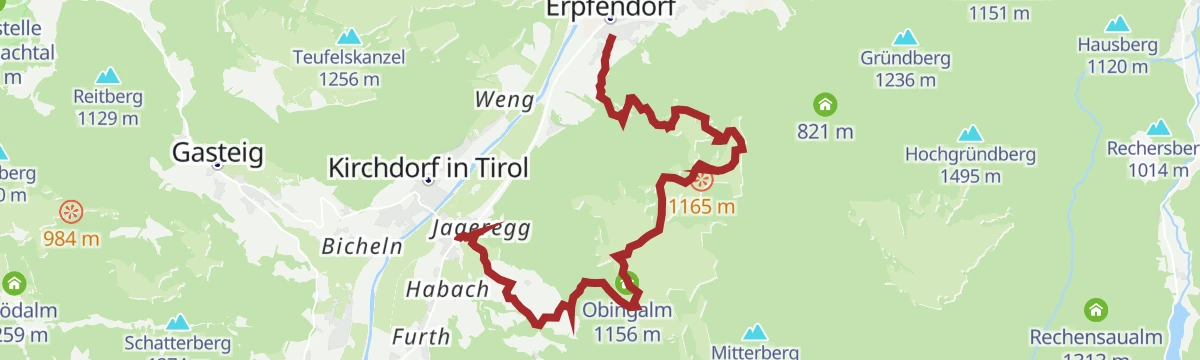
Kalksteinalmen
Round from the Kirchdorf ski lifts to the Kalkstein alms — Angerlalm, Huberalm and Obingalm — on forest roads and pasture paths.
- 11.4 km
- Distance
- 671 m
- Ascent
- 4 h 41 min
- Duration
- 14
- Check-ins
No routes of this kind in Kirchdorf in Tirol yet.
The region's own picks
Featured route
Kaiserbachtal - Griesner Alm
Easy walk up the Kaiserbachtal on path 801, passing the Fischbachalm to reach the Griesner Alm below the Kaiser walls.
Planning a trip to Kirchdorf in Tirol?
Everything else Tyrol has, in one place


Take Kirchdorf in Tirol with you into the mountains
Every route on this page with 3D terrain, GPX navigation and offline maps — including the valleys with no signal.
Data sources
- Official website: kitzbueheler-alpen.com ↗
- Routes and highlights: Kitzbüheler Alpen Tourismus, Kaiserwinkl Tourismus, Wilder Kaiser Tourismus, Kitzbühel Tourismus, Kufsteinerland
- Published as open data by the tourist boards named above.
- Region summary generated from the board's own material.
