
 Historic site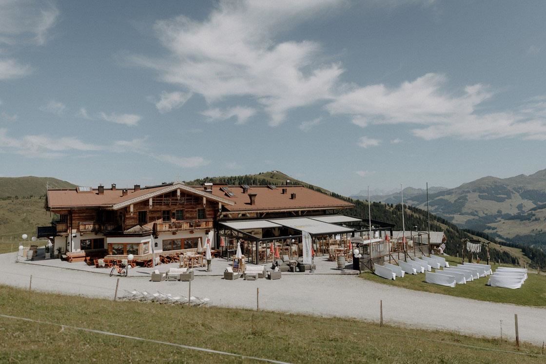

 Cable car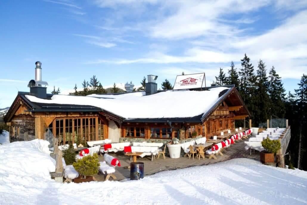













Curated by Kitzbühel Tourismus
Jochberg
A village of old mining hamlets south of Kitzbühel on the Pass Thurn road, with the Sintersbach waterfall and a spa resort among the grass peaks.
- 6Highlights
- 49Routes
- Featured summit · Geißstein
Highlights
9 from neighbouring places
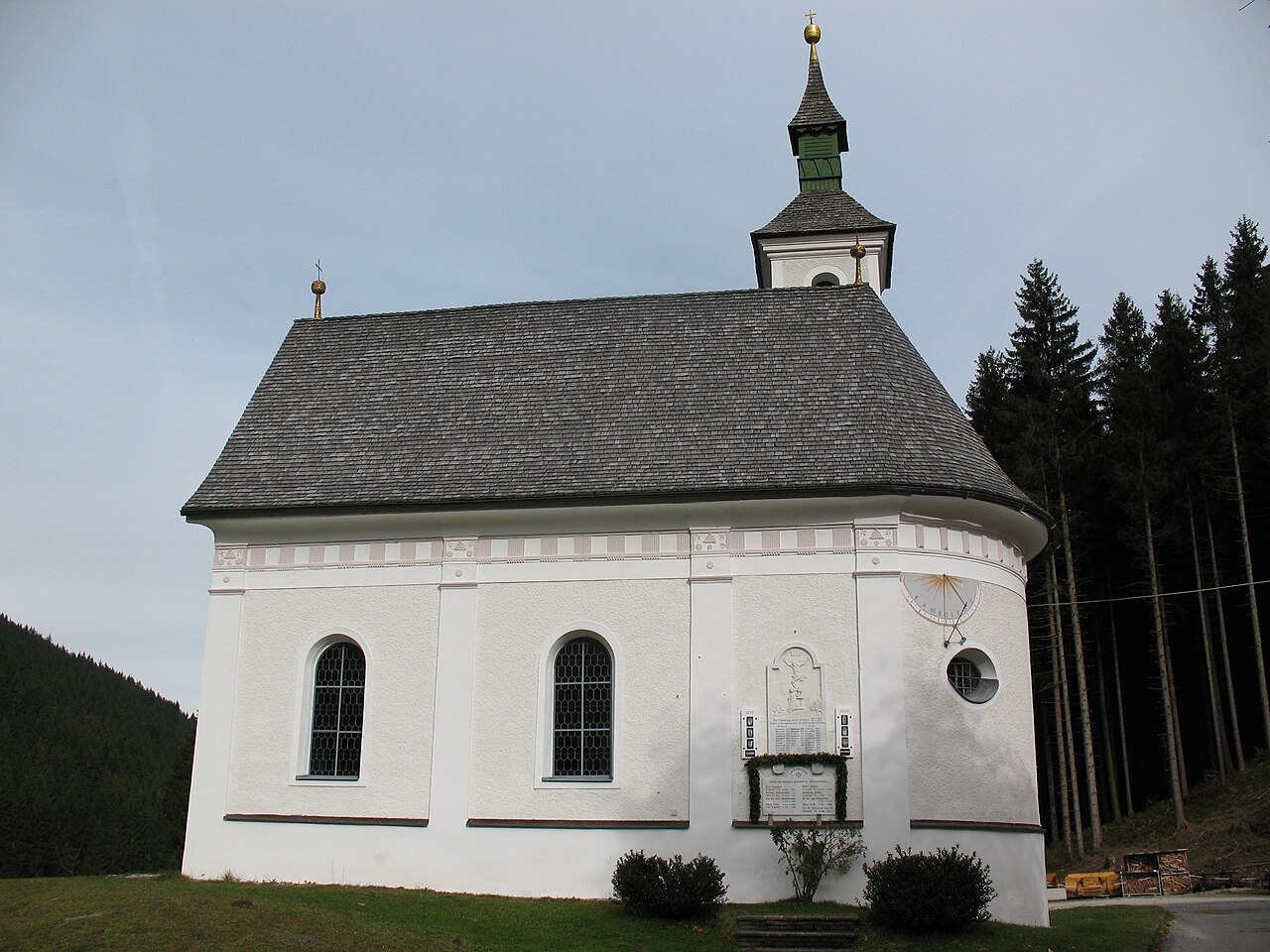
Wallfahrtskapelle Jochbergwald
A small pilgrimage chapel in the Jochbergwald between Kitzbühel and Jochberg, a devotional stop among the woods along the old road south.
Alpinlodge Sonnalm
A ski hut and self-service restaurant in the Resterhöhe sector above Jochberg, serving Austrian and regional dishes beside the pistes.
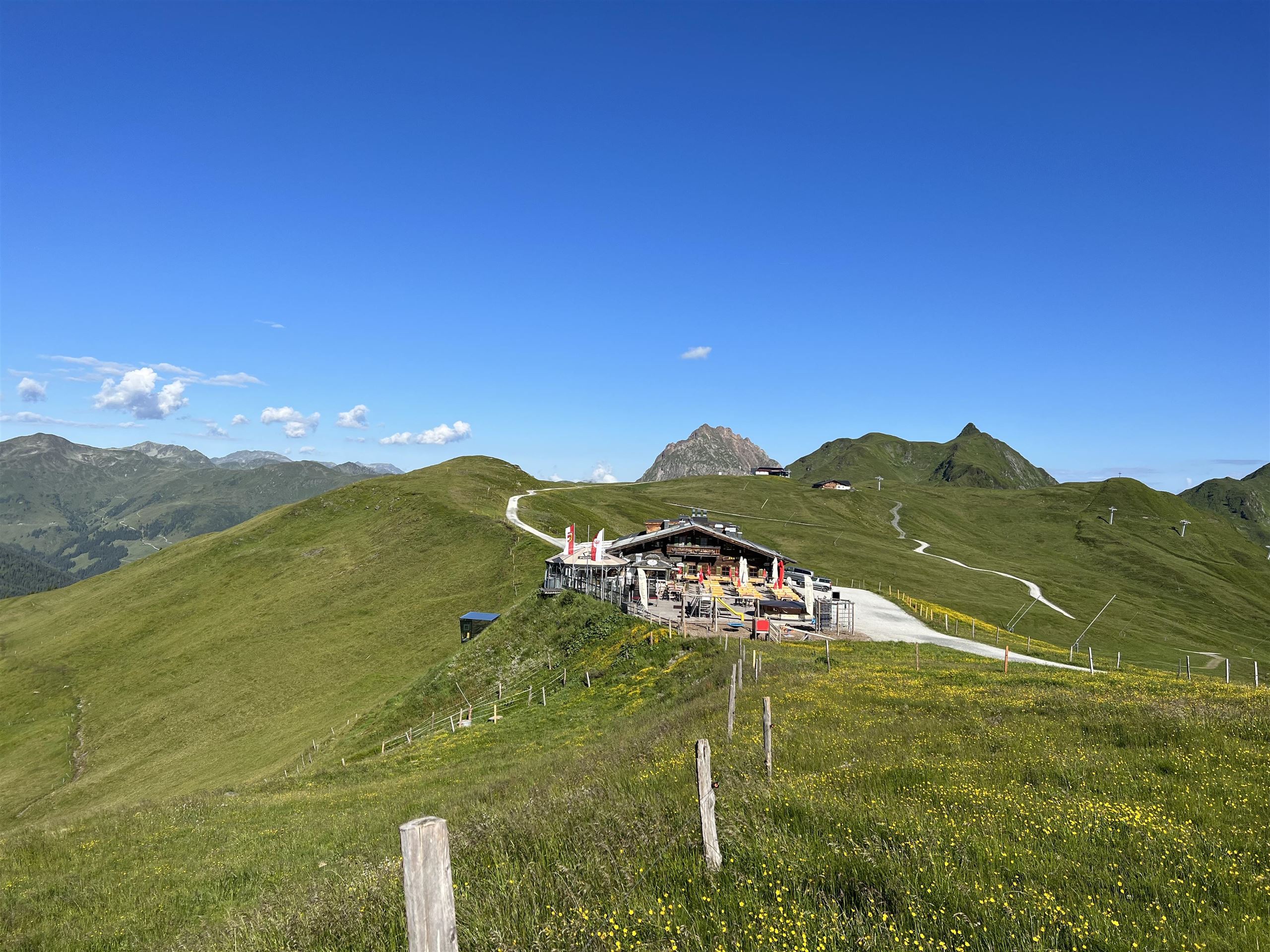
Panoramaalm Pass Thurn
A modern ski and excursion hut at Pass Thurn between Mittersill and Kitzbühel, serving Austrian and regional dishes beside the slopes.
Bauernhausmuseum "Vorderkünstler"
A farmhouse museum in the Vorderkünstler house at Jochberg, showing rural furnishings and tools from the valley's farming past.
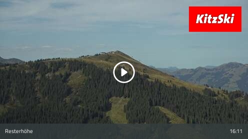
Jochberg Funpark Hanglalm Livecam
A webcam showing live pictures of the Hanglalm funpark in the Jochberg sector of the KitzSki area.
Spielplatz Jodlbühel
A children's playground at the Jodlbühel in Jochberg, with play equipment set on the meadows of the village.
Spielplatz Hechenmoos
5.1 km away, in Aurach bei Kitzbühel
A playground at Hechenmoos in Aurach bei Kitzbühel, with play equipment for younger children beside the valley road.
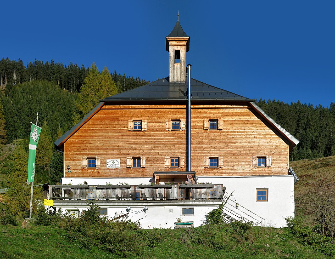
Kelchalm | Bochumer Hütte
5.6 km away, in Aurach bei Kitzbühel
A mountain hut in the former Kelchalm mining area above Aurach bei Kitzbühel, offering meals and simple overnight accommodation.
Nationalpark-Panorama Resterhöhe
5.7 km away, in Mittersill
A national park viewing point at the Resterhöhe above Mittersill, reached by the Panoramabahn Kitzbüheler Alpen.
Sommererlebnis Resterkogel
5.8 km away, in Mittersill
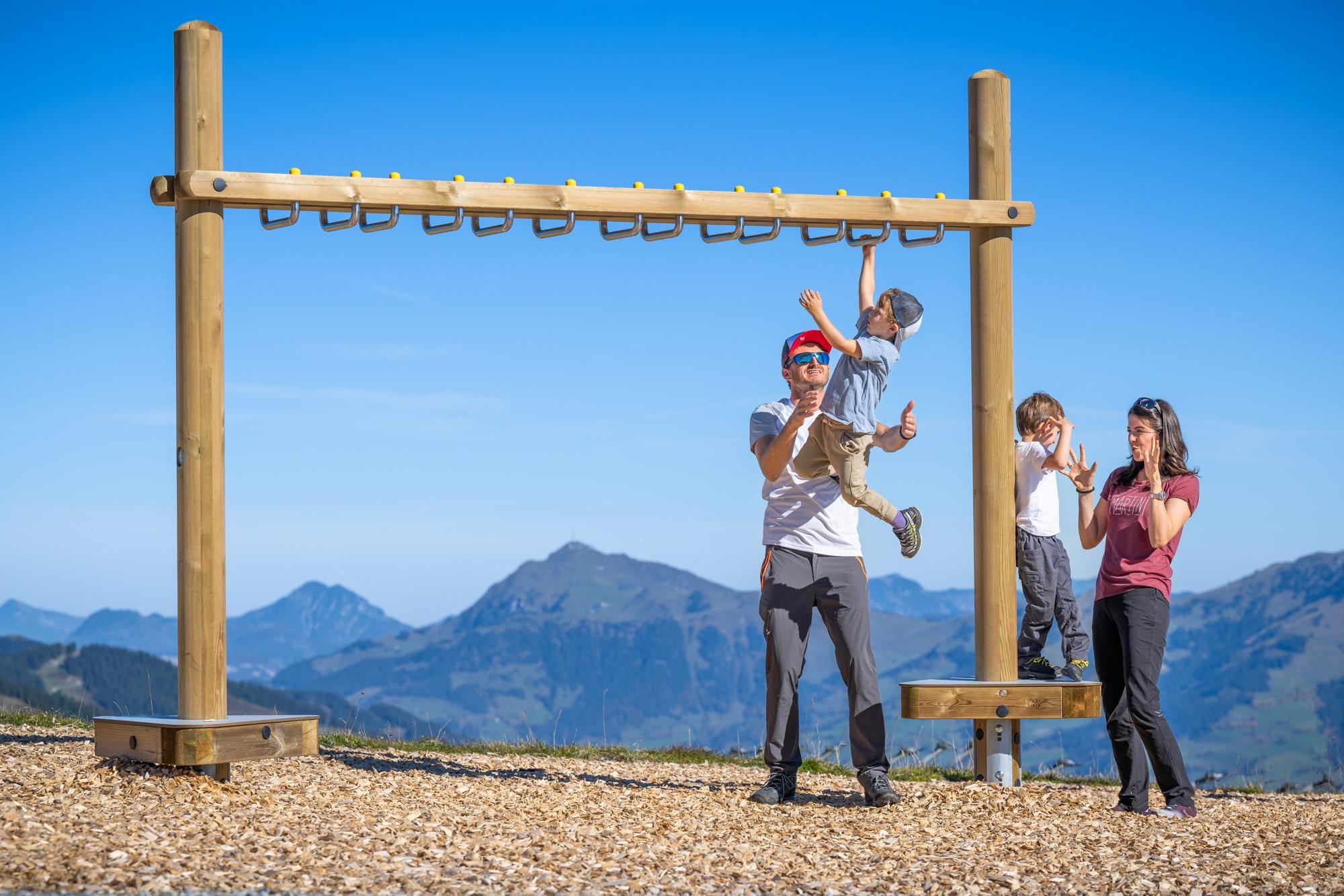
A summer mountain area on the Resterkogel above Pass Thurn, with lift access, playgrounds and trampolines aimed at families with children.
Toni Alm
5.9 km away, in Mittersill
A ski hut in the Resterhöhe sector above Mittersill, serving Austrian dishes and après-ski beside the pistes of the Kitzbühel Alps.
Klooalm
6 km away, in Kirchberg in Tirol
A pasture hut in the Spertental south of Kirchberg in Tirol, a stop on the quiet walking and cycling routes into the valley.
Hochmoor Wasenmoos
6.3 km away, in Mittersill
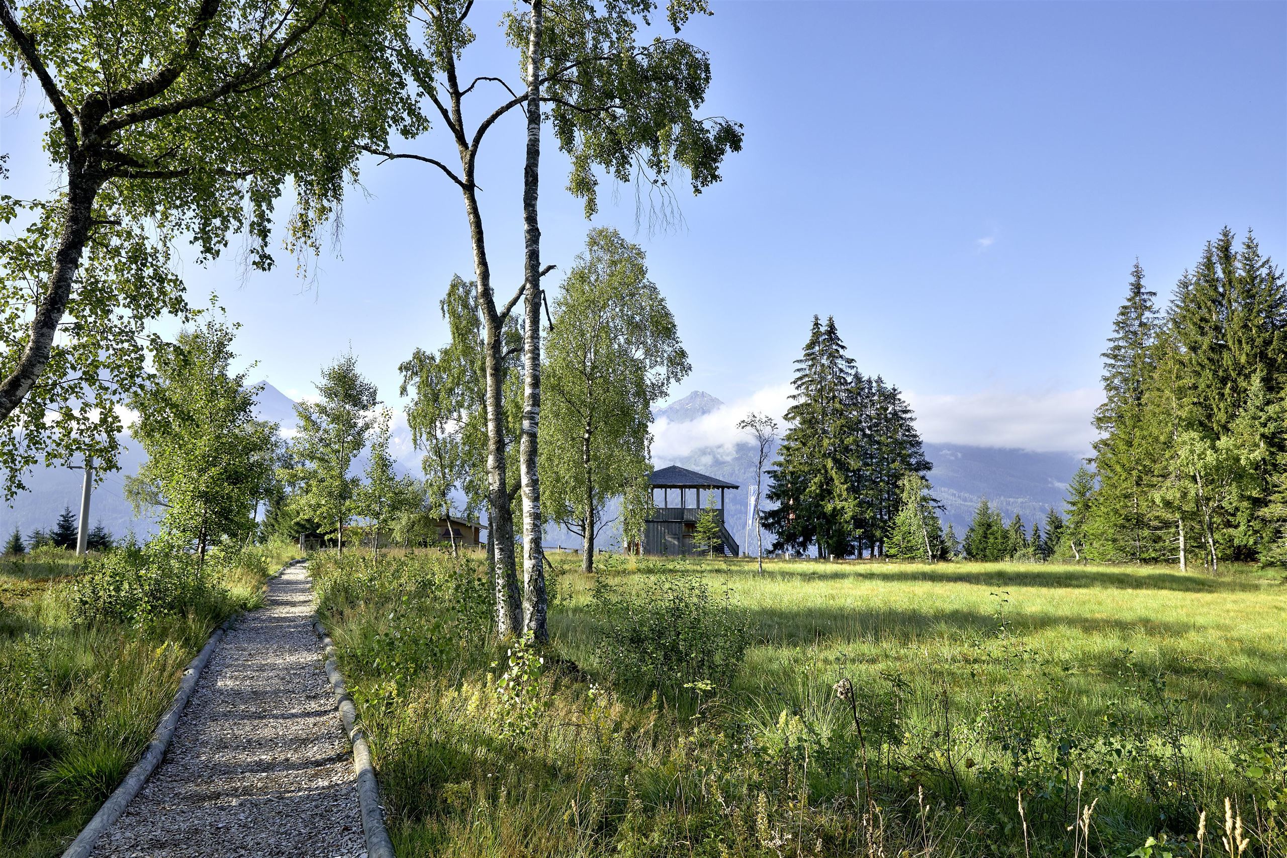
A protected high moor near Pass Thurn above Mittersill, crossed by easy paths where boards explain the bog's plants and peat-cutting past.
Mooralm
6.3 km away, in Mittersill
A hut near the Wasenmoos moor in the Pass Thurn area, serving Austrian and regional dishes to walkers in summer and skiers in winter.
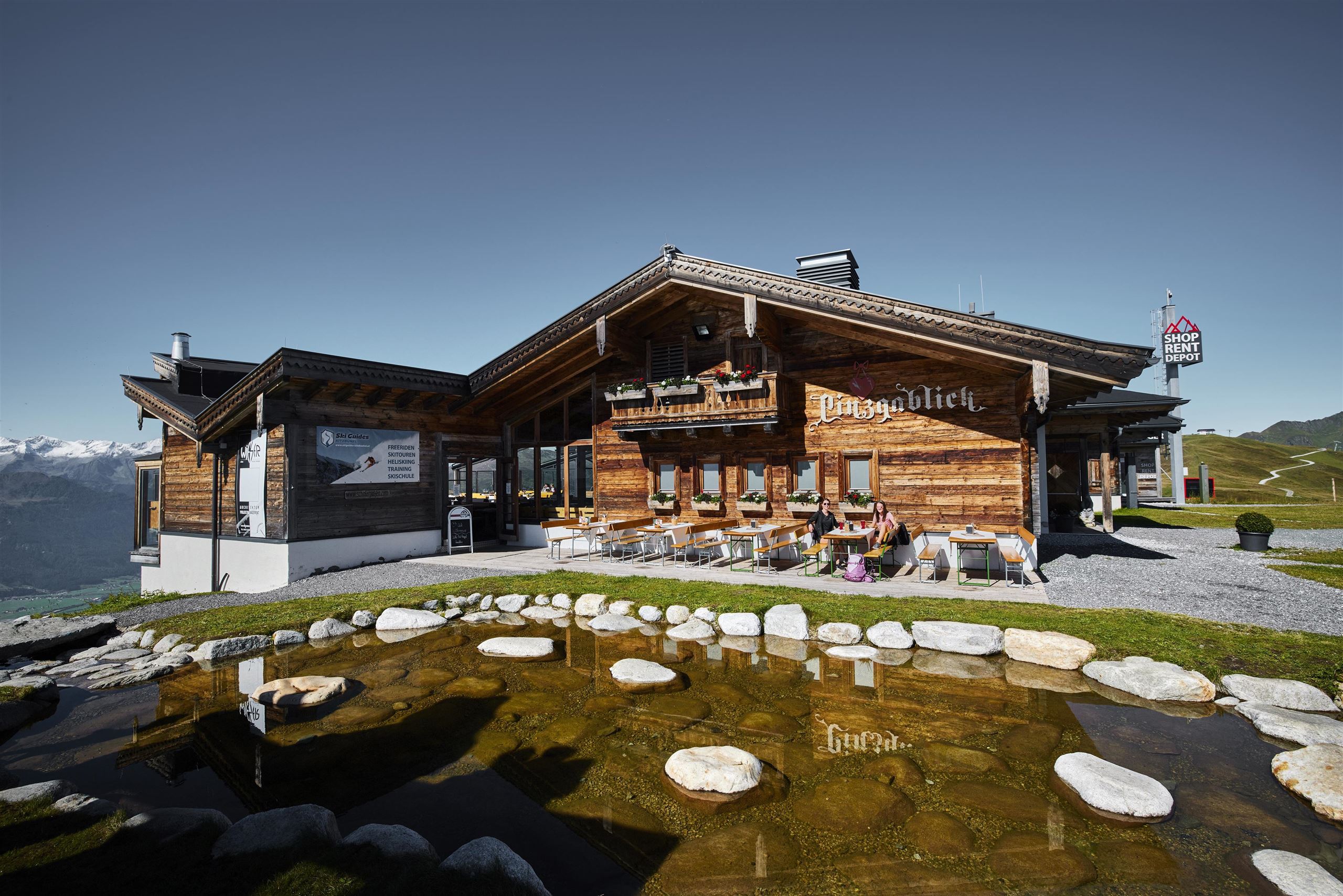
Pinzgablick
6.4 km away, in Mittersill
A self-service ski hut in the Resterhöhe area above Mittersill, named for its outlook over the Pinzgau and serving home-style dishes.
Nothing of this kind in Jochberg.
Routes
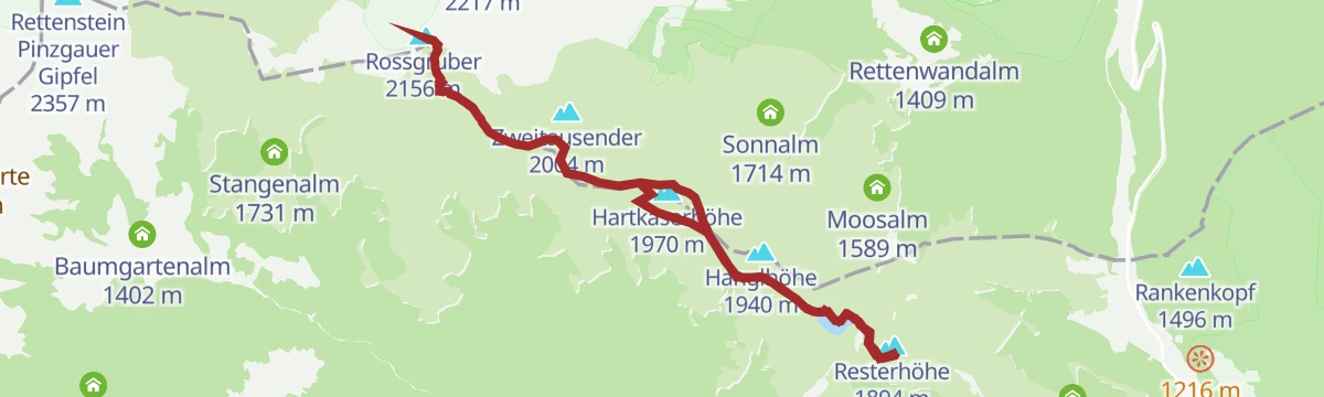
Hollersbach: Panoramaalm
An easy ridge walk from the Resterhöhe over the Hartkaserhöhe to the Panoramaalm, passing the Resterhöhe reservoir.
- 6.2 km
- Distance
- 218 m
- Ascent
- 1 h 60 min
- Duration
- 92
- Check-ins
Vier-Seen-Wanderung
A high circuit on Kitzbühel's Hahnenkamm ridge collecting four mountain reservoirs, including the Speichersee Ehrenbachhöhe, on the way out toward Pengelstein and back.
- 14.3 km
- Distance
- 646 m
- Ascent
- 4 h 58 min
- Duration
- 142
- Check-ins
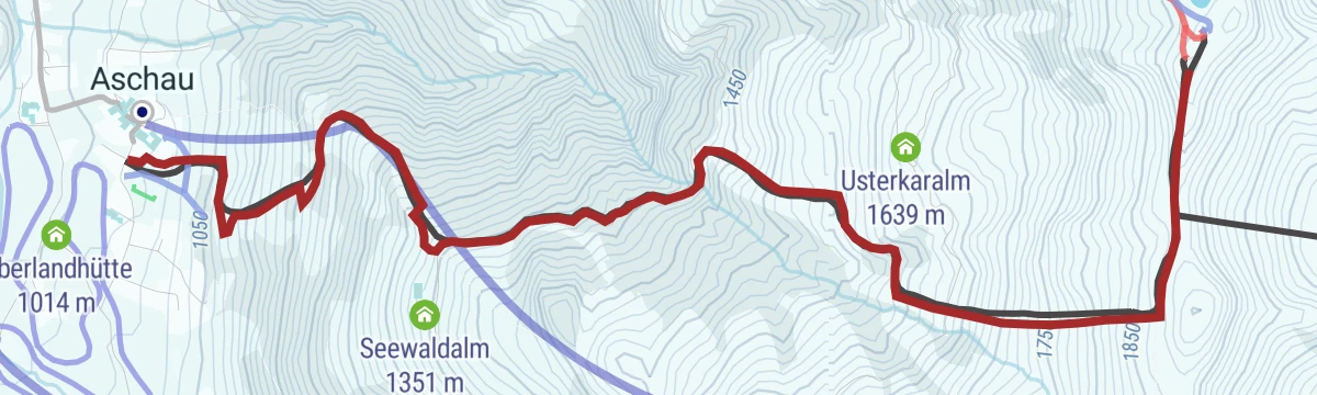
4. Etappe KAT Walk Alpin
The fourth alpine stage of the KAT Walk long-distance trail, climbing out of Aschau bei Kirchberg over the ridge toward the Hahnenkamm and its Streif start house.
- 15.9 km
- Distance
- 1 090 m
- Ascent
- 7 h 17 min
- Duration
- 198
- Check-ins
Mittersill: Skitour Sonnalm
A ski tour from the Pass Thurn into the KitzSki area, climbing 449 m past the Hanglalm to the Sonnalm.
- 4.9 km
- Distance
- 446 m
- Ascent
- 0 m
- Descent
- 1 h 40 min
- Duration
- 15
- Check-ins
Schwarzkogel Skitour
A committed winter ascent of the Schwarzkogel south of Kitzbühel — over 900 m of climbing in open touring terrain, a route for experienced ski tourers with full avalanche equipment.
- 4.3 km
- Distance
- 939 m
- Ascent
- 939 m
- Descent
- 2 h 58 min
- Duration
223 | Wagstätt-Schering-Jagawurz
A high traverse between alm huts above Jochberg, from the Wagstättbahn mid-station across to the Jägerwurzhütte with little climbing.
- 8.7 km
- Distance
- 248 m
- Ascent
- 1 h 1 min
- Duration
- 11
- Check-ins
EPIC 360° Zweitausender Tour
A 60 km day on forest roads above Jochberg, over the Gauxjoch and the Hartkaserhöhe to the Panoramaalm just under 2,000 m.
- 60.6 km
- Distance
- 2 083 m
- Ascent
- 7 h 21 min
- Duration
- 110
- Check-ins
2. Etappe KAT Bike Sport+
The second stage of a multi-day route, with 3,435 m of climbing over the Hahnenkamm and Pengelstein past the Melkalm and Fleckalm.
- 74.4 km
- Distance
- 3 435 m
- Ascent
- 9 h 51 min
- Duration
- 158
- Check-ins
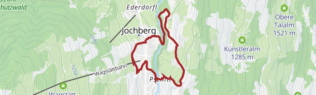
Jochberger Wasserweg
Water-themed village walk in Jochberg following streams and fountains, with info stops between the church and the Hofstadl.
- 4.1 km
- Distance
- 146 m
- Ascent
- 1 h 19 min
- Duration
- 1
- Check-ins
Resterhöhe - Baumgartenalm
About three and a half hours one way from the Panoramabahn top station: waymarks 61, 61A and 4E lead over ground at 2,156 m and down to the Baumgartenalm.
- 11.6 km
- Distance
- 285 m
- Ascent
- 3 h 52 min
- Duration
- 95
- Check-ins
Gamsroas - Das 9 Gipfel Erlebnis
A ridge marathon south of Kitzbühel collecting nine summits in a single push from Aurach, past the Kelchalm Bochumer Hütte and the little Torsee — nearly 1,500 m of ascent.
- 17.2 km
- Distance
- 1 443 m
- Ascent
- 9 h 12 min
- Duration
- 73
- Check-ins
Mittersill: Skitour Hanglalm
A gentle 406 m ski tour to the Hanglalm, straightforward enough for a first tour.
- 4.4 km
- Distance
- 404 m
- Ascent
- 0 m
- Descent
- 1 h 30 min
- Duration
- 3
- Check-ins
222 | Kelchalmgraben
A forest-road climb up the Kelchalm valley past a waterfall to the Niederkaseralm and on to the Oberkaseralm at 1,746 m.
- 6.7 km
- Distance
- 821 m
- Ascent
- 1 h 51 min
- Duration
- 5
- Check-ins
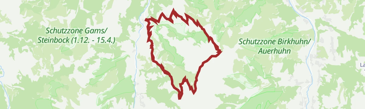
Pengelsteinrunde
A circuit up to the ridge at nearly 1,930 m, past the s'Ochsal hut and the reservoir at Brunn, then back down to the valley.
- 20.1 km
- Distance
- 1 043 m
- Ascent
- 2 h 52 min
- Duration
- 94
- Check-ins
Bike&Hike Schwarzkogel
Over 2,300 m of climbing in 28 km, up past the Ochsalm to the ridge at the Pengelstein before the walk to the summit.
- 28.3 km
- Distance
- 2 314 m
- Ascent
- 5 h 38 min
- Duration
- 105
- Check-ins
Auberg Trail
Easy loop over the Auberg meadows outside Jochberg, wide tracks and low gradients with views toward the Kitzbühel range.
- 4.8 km
- Distance
- 134 m
- Ascent
- 1 h 27 min
- Duration
4-Seen-Runde
From the Fleckalmbahn top station in Kirchberg, this circuit links four mountain reservoirs across the ski terrain, rounding the Pengelstein with a stop possible at the Berggasthof Sonnenrast.
- 13.0 km
- Distance
- 527 m
- Ascent
- 4 h 20 min
- Duration
- 92
- Check-ins
 Ehrenbachhöhe 1 802 m
- Jufenkamm 1 905 m
 Sonnenrast (Berggasthof) 1 775 m
- Pengelstein 1 923 m
 Speichersee Ehrenbachhöhe 1 764 m
- S3 Bahn - Gondel 1 914 m
- +8
Kleiner Rettenstein
A long approach from the Wagstätt side to the Kleiner Rettenstein, the striking rock pyramid between the Spertental and the Pinzgau — 18 km with almost 1,200 m of ascent.
- 18.3 km
- Distance
- 1 172 m
- Ascent
- 7 h 58 min
- Duration
- 35
- Check-ins
212 | Jochberg Ost
A short forest-road climb on the east side of the valley at Jochberg, reaching the Künstleralm and the Niedere Talalm.
- 4.7 km
- Distance
- 485 m
- Ascent
- 1 h 8 min
- Duration
285 | Pengelsteinrunde
A climb of just over 1,000 m from Kirchberg to the huts at nearly 1,930 m, passing the Ochsalm and the Speicherteich Brunn.
- 20.4 km
- Distance
- 1 068 m
- Ascent
- 2 h 55 min
- Duration
- 78
- Check-ins
11 Rund um das Kitzbüheler Horn
A long road circuit right around the Horn, from the Glemmtal over the Pass Thurn and back through Kitzbühel on the way home.
- 115.9 km
- Distance
- 1 673 m
- Ascent
- 11 h 51 min
- Duration
- 56
- Check-ins
Museumsweg Jochberg
Short themed path through Jochberg with stations on the village's copper-mining past, linking the local museum and the church quarter.
- 3.3 km
- Distance
- 134 m
- Ascent
- 1 h 6 min
- Duration
Mittersill: Roßgruber Wegnr. 61A
A ridge line from the Resterhöhe over the Hartkaserhöhe and Latschinger Kogl to the Rossgruber, 11 km with 530 m of climbing.
- 11.2 km
- Distance
- 479 m
- Ascent
- 3 h 49 min
- Duration
- 88
- Check-ins
Blaue Lacke
A long round trip from Jochberg over the Gauxjoch to a small tarn below the ridge, passing the Bruggeralm and Jägerwurzhütte — remote pasture country south of Kitzbühel.
- 16.5 km
- Distance
- 845 m
- Ascent
- 6 h 8 min
- Duration
- 26
- Check-ins
213 | Hansler-Burgstall
A short, steady forest-road climb above Jochberg linking the Hansler Hochalm at 1,303 m with the Burgstallalm a little higher.
- 4.3 km
- Distance
- 422 m
- Ascent
- 59 min
- Duration
218 | Biketour - Saukasergraben - Pengelstein
A long climb from Kitzbühel through the Saukasergraben to the huts on the Pengelstein at 1,923 m, returning past the Kitzalm.
- 38.0 km
- Distance
- 1 313 m
- Ascent
- 4 h 37 min
- Duration
- 59
- Check-ins
Leukentalradweg
A 48 km valley cycle path between St. Johann in Tirol and Kössen, with the Waldwirt and Sigis Sportklause as stops.
- 48.0 km
- Distance
- 425 m
- Ascent
- 4 h 39 min
- Duration
- 10
- Check-ins
Schwarzkogel Easy
From the Fleckalmbahn top station, a long but gentle ridge line over the Pengelstein past two reservoir lakes, descending to Aschau, where the guest-card bus runs back to Kirchberg.
- 11.4 km
- Distance
- 492 m
- Ascent
- 3 h 53 min
- Duration
- 84
- Check-ins
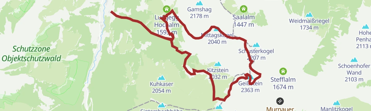
Geißstein
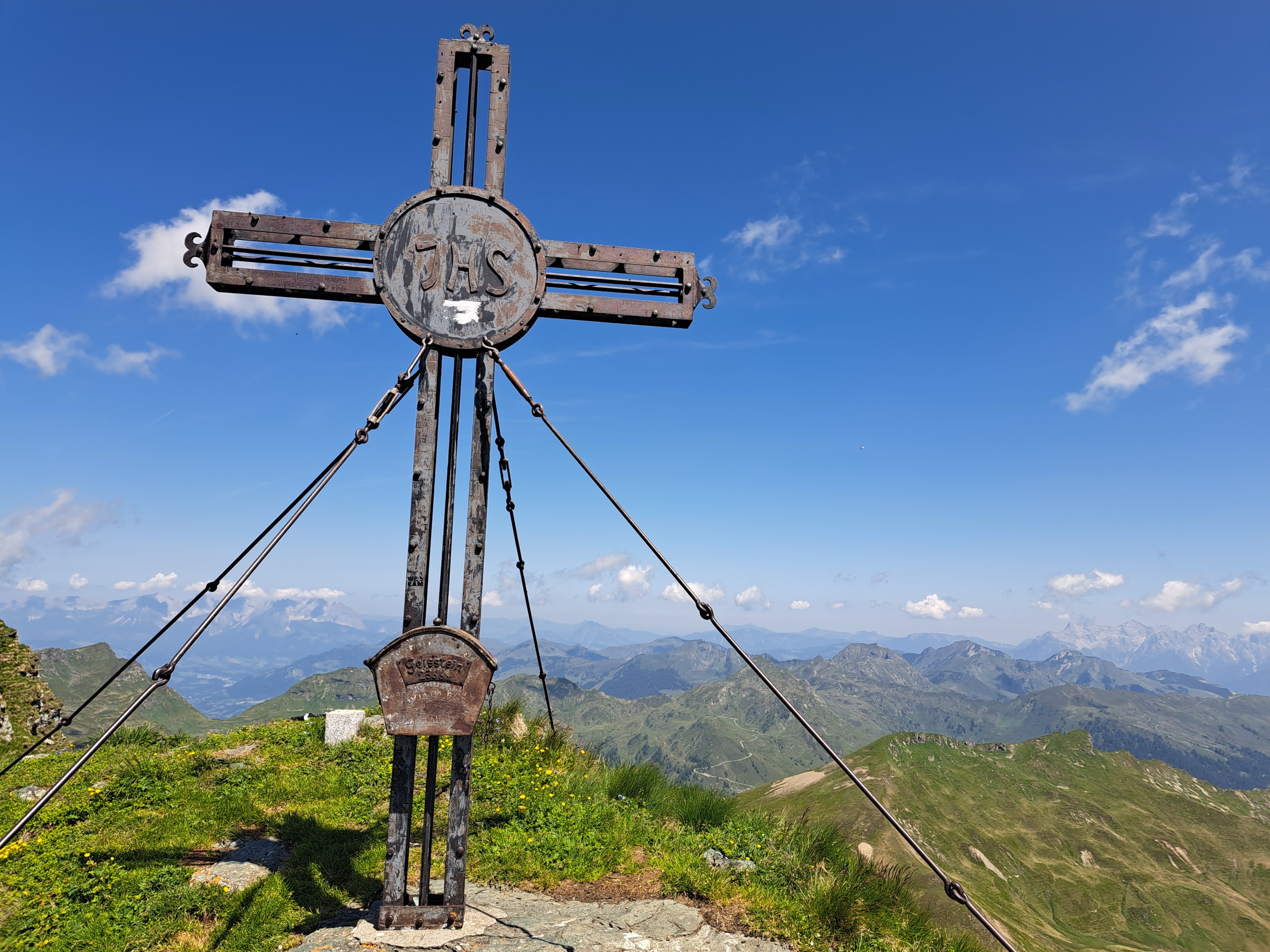
One of the biggest marked days around Jochberg: nearly 23 km over the Schusterscharte and Sintersbachscharte to a 2,363 m grass summit on the divide toward the Pinzgau.
- 23.5 km
- Distance
- 1 653 m
- Ascent
- 10 h 59 min
- Duration
- 15
- Check-ins
224 | Resterhöhe- Zweitausender
A long climb to two-thousand-metre ground at the Hartkaserhöhe, passing the Resterhöhe reservoir, the Hanglalm and the Sonnalm.
- 13.7 km
- Distance
- 1 047 m
- Ascent
- 2 h 35 min
- Duration
- 36
- Check-ins
20 | Leukentalradweg
A long valley cycle route linking St. Johann in Tirol with Kössen, passing the Waldwirt and the lifts at Hochkössen.
- 46.4 km
- Distance
- 864 m
- Ascent
- 4 h 56 min
- Duration
- 9
- Check-ins
Jagawurz Lauf
A moderate loop in Jochberg's Wagstätt area past the Jägerwurzhütte, Wagstätt-Alm and Wurzniederalm — rolling pasture terrain that also serves as a trail-running route.
- 7.1 km
- Distance
- 315 m
- Ascent
- 2 h 26 min
- Duration
- 18
- Check-ins
Schwarzkogel
Steep summit route from Aschau past the Kleinmoosalm to a 2,000-meter top between the Spertental and the Kitzbühel ski mountains.
- 8.9 km
- Distance
- 1 008 m
- Ascent
- 6 h 4 min
- Duration
- 13
- Check-ins
275 | Schering - Gauxalm - Sonnalm
A demanding forest-road round over the Gauxjoch at 1,739 m, linking the Bruggeralm, Trattenbachalm and Hartkaseralm above Jochberg.
- 11.8 km
- Distance
- 1 004 m
- Ascent
- 2 h 25 min
- Duration
- 33
- Check-ins
Wagstätt Runde
An 11 km loop from Jochberg's gondola side through the Wagstätt alp basin, joining the Bruggeralm, Jägerwurzhütte and Hofstadl — hut density makes pacing easy.
- 11.0 km
- Distance
- 718 m
- Ascent
- 4 h 52 min
- Duration
- 18
- Check-ins
Schützkogel Alpinsteig
An alpine-graded route from Jochberg's Wildalm side onto the Schützkogel, crossing the Burgstallalm and the Talalm pastures — 18 km and over 1,300 m with some exposed path sections.
- 18.8 km
- Distance
- 1 357 m
- Ascent
- 8 h 57 min
- Duration
- 9
- Check-ins
Mittersill: Resterhöhe Biketour
A long climb from Mittersill up to Pass Thurn and on to the Moseralm at 1,742 m below the Resterhöhe, past the Berghotel Holzer.
- 53.5 km
- Distance
- 1 617 m
- Ascent
- 6 h 16 min
- Duration
- 21
- Check-ins
Bauberg Walk
Half-day loop from Jochberg over the Bauberg slopes, stringing together the Bruggeralm, the Jägerwurzhütte and the Wurzniederalm pastures.
- 10.5 km
- Distance
- 630 m
- Ascent
- 4 h 22 min
- Duration
- 16
- Check-ins
Mittersill: Kuhkaser
Long climb to the 2,054 m Kuhkaser above Jochberg by way of the Schöntagweidalm, with the Wilder Kaiser and the Kitzbühel Alps in sight from the top.
- 16.9 km
- Distance
- 1 014 m
- Ascent
- 7 h 2 min
- Duration
- 7
- Check-ins
218 | Saukaser-Pengelstein
A demanding forest-road climb from Jochberg past the Josef Kreidl Hütte to the Pirchmoosalm, over 1,000 m of ascent in 10 km.
- 10.5 km
- Distance
- 1 072 m
- Ascent
- 2 h 29 min
- Duration
Trattenbachalm
Steady climb from Jochberg past the Waldwirt up the Trattenbach side valley to a working dairy alm at the head of the climb.
- 5.3 km
- Distance
- 621 m
- Ascent
- 3 h 43 min
- Duration
- 12
- Check-ins
Kuhkaser
A 20 km round trip from Jochberg past the Waldwirt inn and the Schöntagweidalm to a lonely grass summit south of the village, with over 1,200 m of climbing.
- 20.1 km
- Distance
- 1 255 m
- Ascent
- 8 h 37 min
- Duration
- 7
- Check-ins
Bruggeralm
Loop from Jochberg's Wagstätt valley station past the Vorderreithalm and the Wagstättalm to a hut-dotted basin under the ski slopes.
- 9.0 km
- Distance
- 561 m
- Ascent
- 3 h 51 min
- Duration
- 11
- Check-ins
Kitz-Connection
Valley connection between Kitzbühel and Jochberg on easy walking paths, with cafés and restaurants marking both ends of the route.
- 9.4 km
- Distance
- 200 m
- Ascent
- 2 h 41 min
- Duration
- 10
- Check-ins
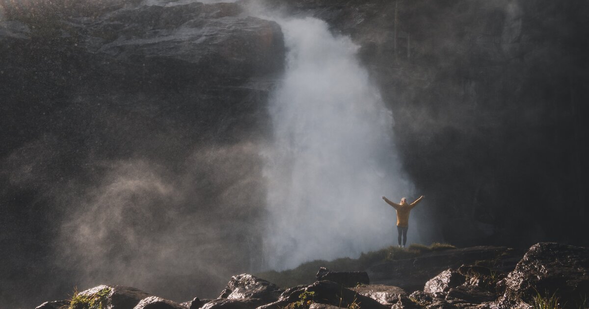
Sintersbacher Wasserfall
Hike from Jochberg past the Wildalm to one of the region's tallest free-falling waterfalls, tucked into the Sintersbach gorge.
- 9.2 km
- Distance
- 558 m
- Ascent
- 3 h 51 min
- Duration
- 4
- Check-ins
Jochberger 7-Brunnenweg
Rolling circuit around Jochberg visiting seven springs and fountains, mostly on farm lanes with only modest height gain.
- 10.4 km
- Distance
- 252 m
- Ascent
- 3 h 3 min
- Duration
- 1
- Check-ins
Askara Runde
Nearly flat loop through the valley meadows around Jochberg, an unhurried round on farm lanes and riverside paths.
- 4.9 km
- Distance
- 96 m
- Ascent
- 1 h 24 min
- Duration
Auracher Höhenweg
High-line path along the slopes above Aurach bei Kitzbühel, a moderate traverse with steady views across the valley.
- 9.7 km
- Distance
- 329 m
- Ascent
- 3 h 5 min
- Duration
Perlberg Tour
Moderate loop over Jochberg's Perlberg side, climbing through farmland and forest fringe with views back to the Kitzbüheler Horn.
- 7.9 km
- Distance
- 329 m
- Ascent
- 2 h 40 min
- Duration
No routes of this kind in Jochberg yet.
The region's own picks

Featured route
Hollersbach: Panoramaalm
An easy ridge walk from the Resterhöhe over the Hartkaserhöhe to the Panoramaalm, passing the Resterhöhe reservoir.
Planning a trip to Jochberg?
Everything else Tyrol has, in one place


Take Jochberg with you into the mountains
Every route on this page with 3D terrain, GPX navigation and offline maps — including the valleys with no signal.
Data sources
- Official website: kitzbuehel.com ↗
- Routes and highlights: Kitzbühel Tourismus, Nationalparkregion Mittersill, Kitzbüheler Alpen Tourismus, Nationalpark, Wildkogel-Arena
- Published as open data by the tourist boards named above.
- Region summary generated from the board's own material.
