




















Curated by Großarltal Tourismus
Hüttschlag
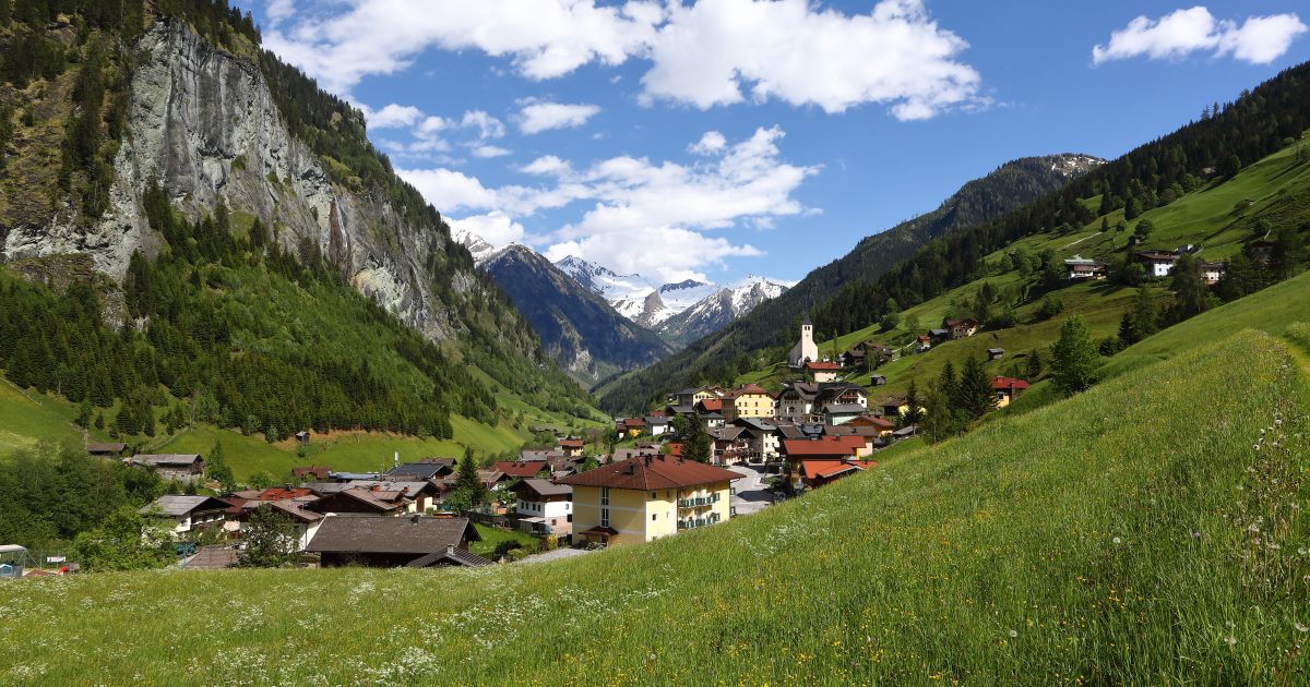
The last village of the Großarltal, where the road ends against the Tauern main ridge — a designated Bergsteigerdorf with a share of the Hohe Tauern national park.
Photo: Arne Müseler licence
- 14Highlights
- 68Routes
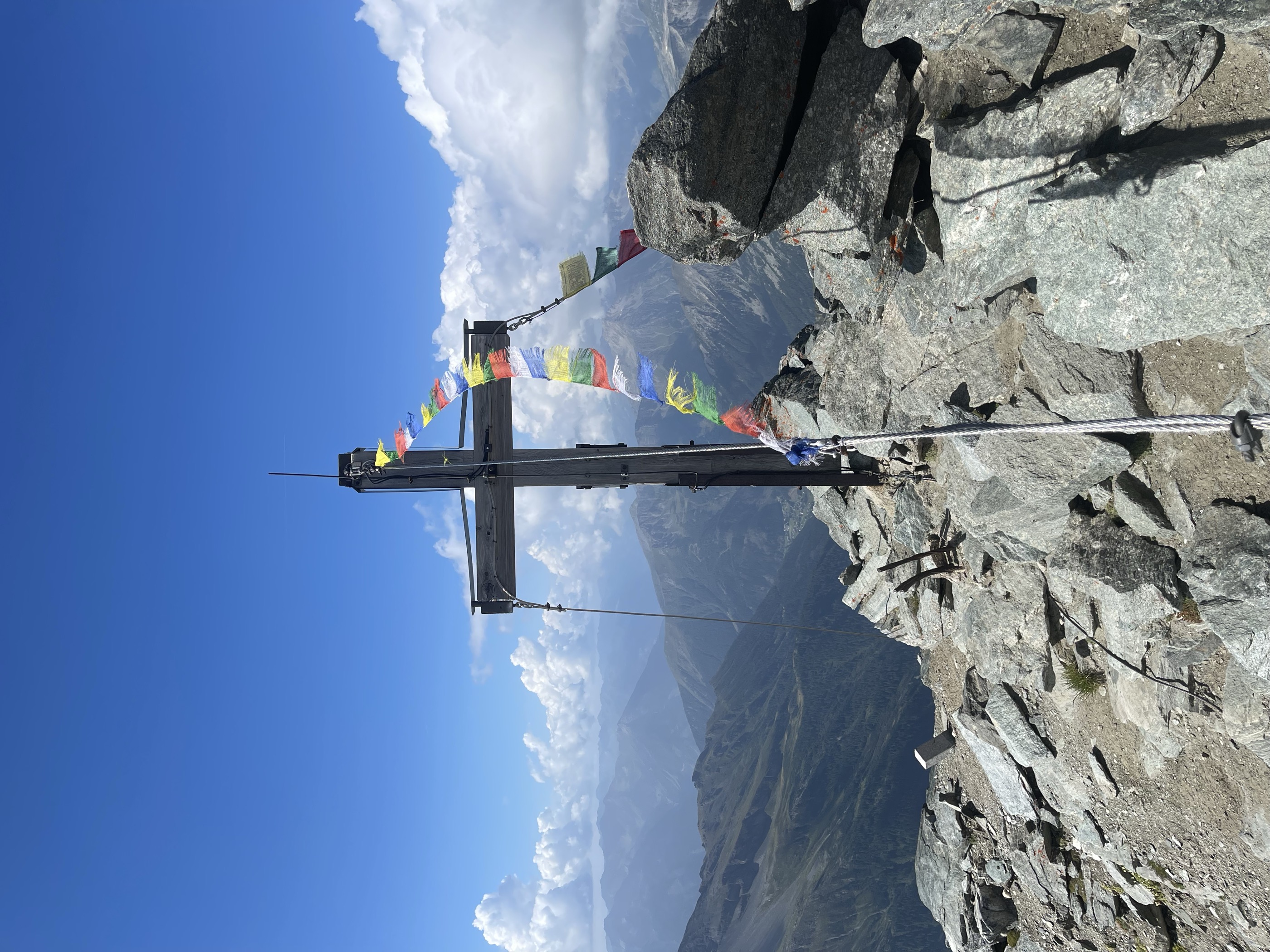
- Featured summit · Ankogel
Highlights
1 from neighbouring places
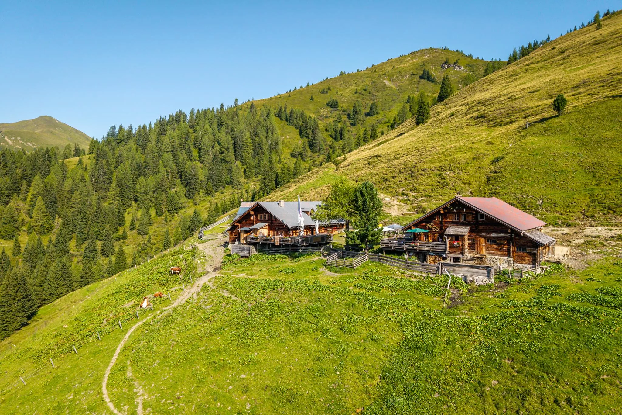
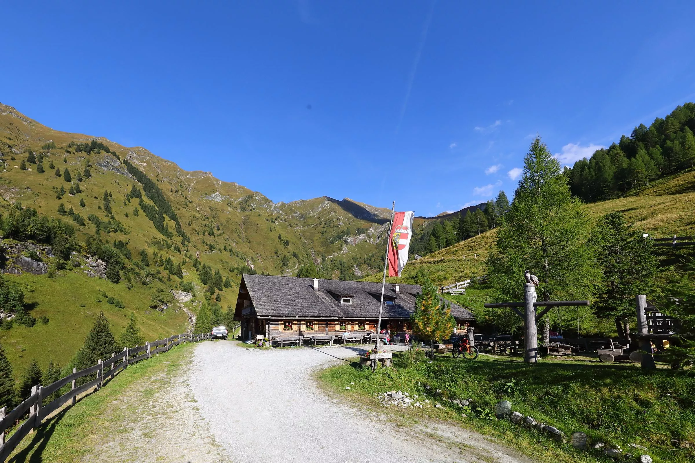
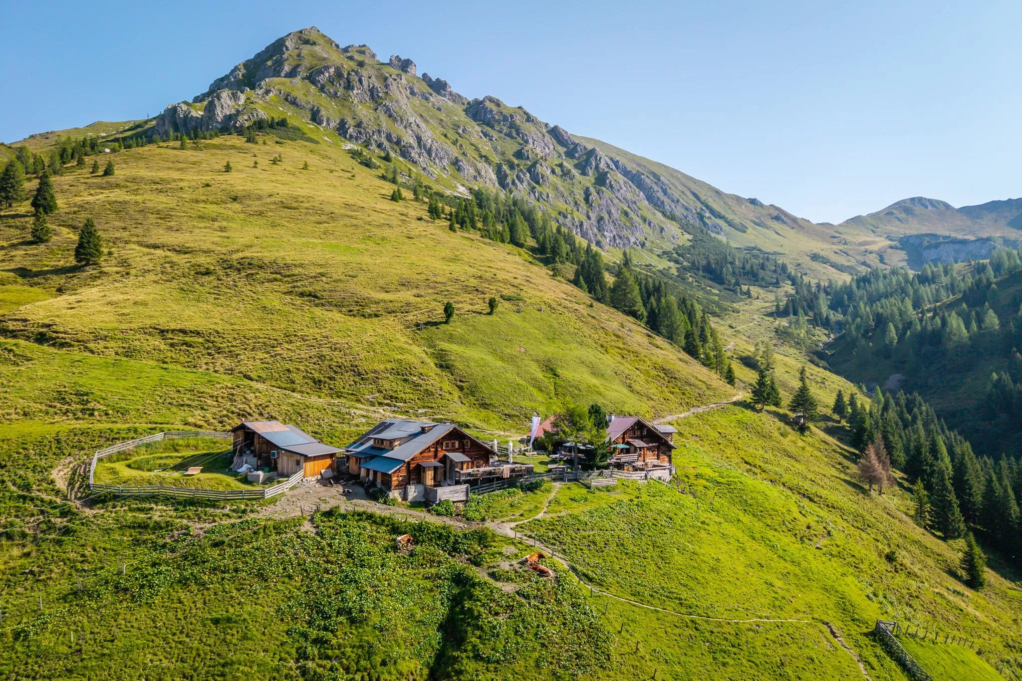
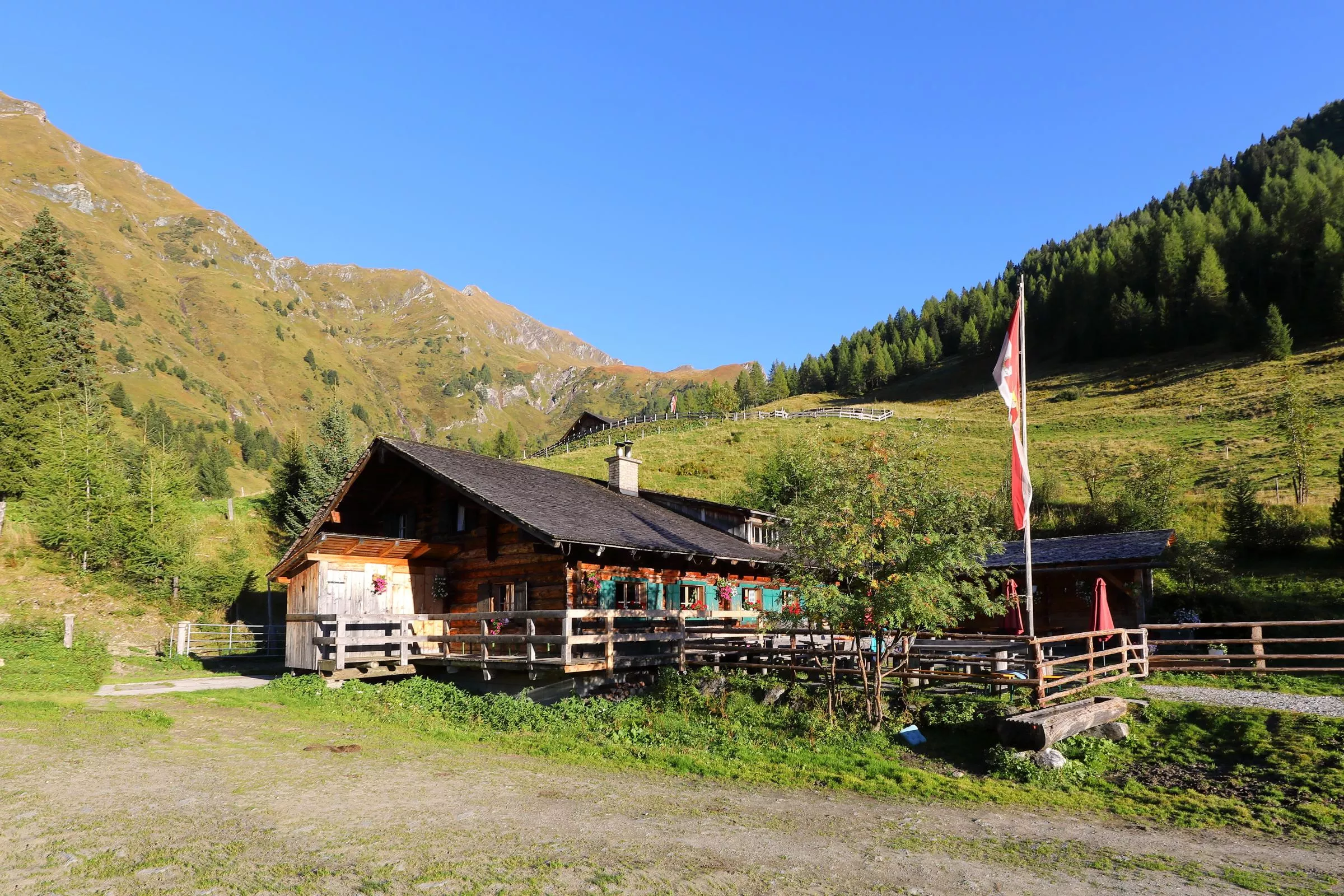
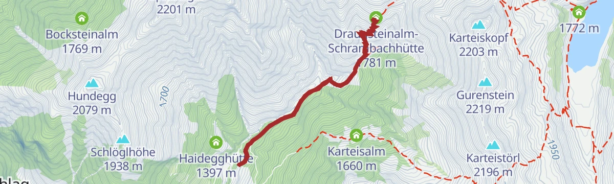
Draugsteinalm-Schrambachhütte, 1.778 m
A hut at 1,778 m on the Draugsteinalm above Hüttschlag, with simple sleeping places on the pastures below the Draugstein.
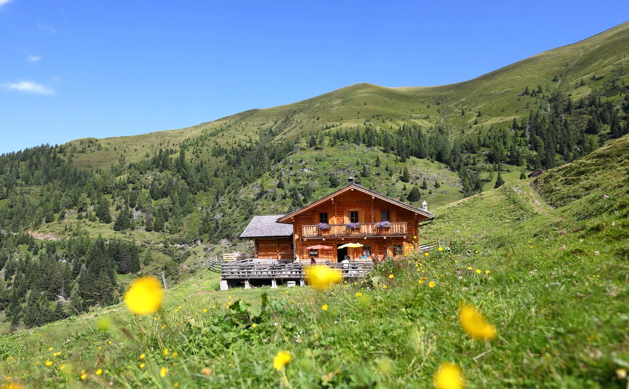
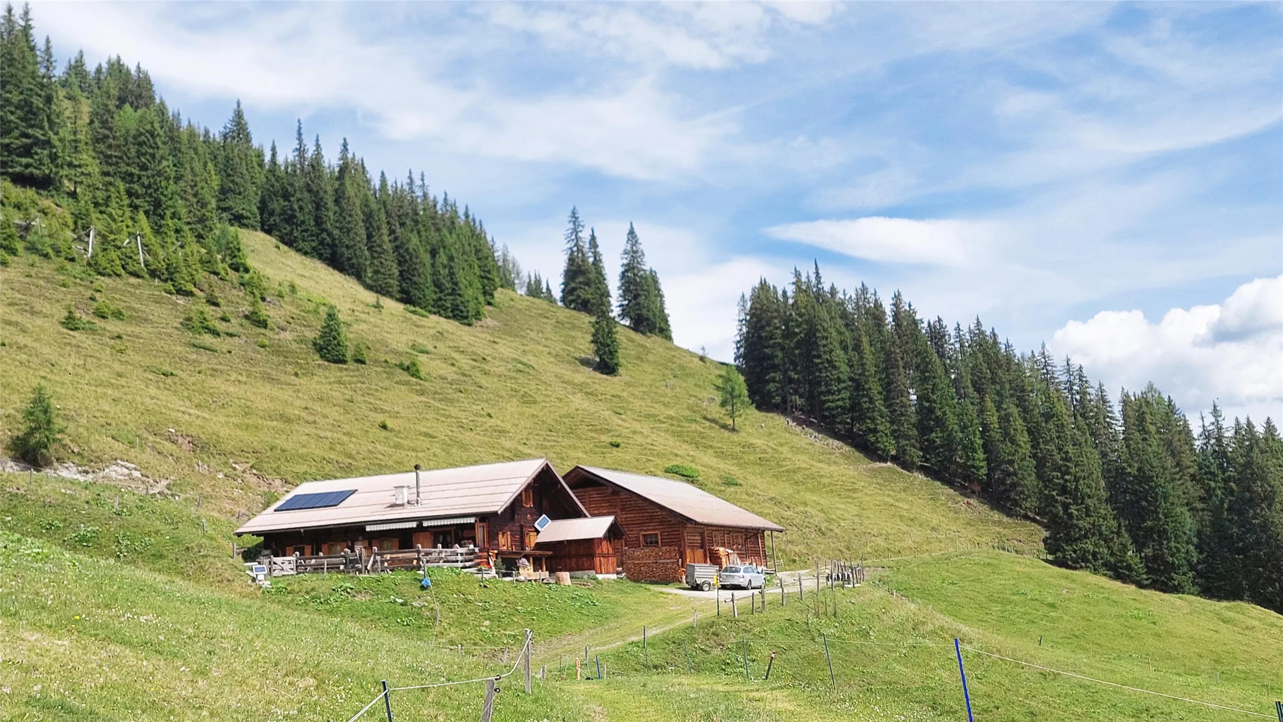
Glettenalm, 1.760 m
A pasture hut at 1,760 m above Hüttschlag in the inner Großarltal, with snacks and simple beds for walkers.
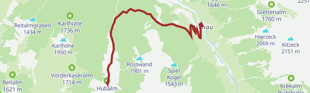
Hubalm, 1.311 m
A pasture hut at 1,311 m above Hüttschlag (982 m), a short alm walk from the village at the head of the Großarltal.
Hühnerkaralm, 1.700 m
An alm hut at 1,700 m above Hüttschlag with snacks and basic sleeping places, set in the Hühnerkar high pasture bowl.
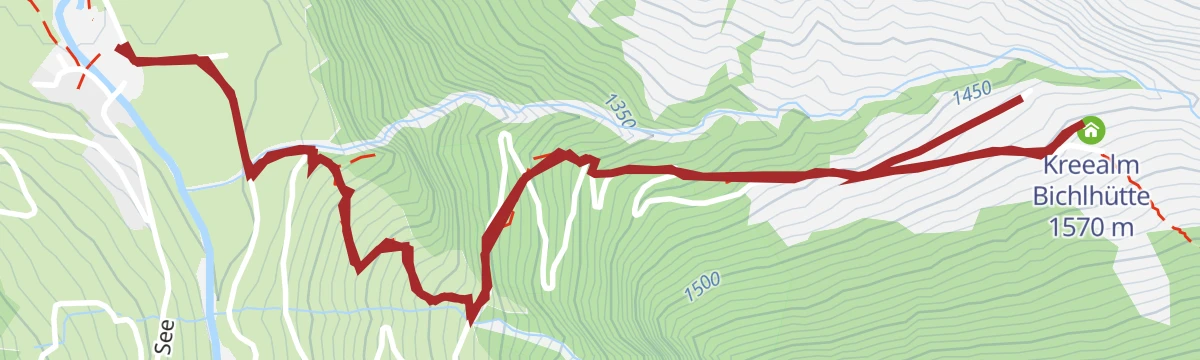
Kreealm - Bichlhütte, 1.570 m
One of the two Kreealm huts, at 1,570 m above Hüttschlag, serving snacks on family-friendly walking and bike routes.
Reitalm, 1.600 m
A pasture hut at 1,600 m above Hüttschlag with farm snacks and simple beds, a stop on inner-valley walking and bike routes.
Vorderkaseralm, 1.720 m
An alm hut at 1,720 m above Hüttschlag; Kaser is the local word for an alpine dairy hut, and snacks are served in the grazing season.
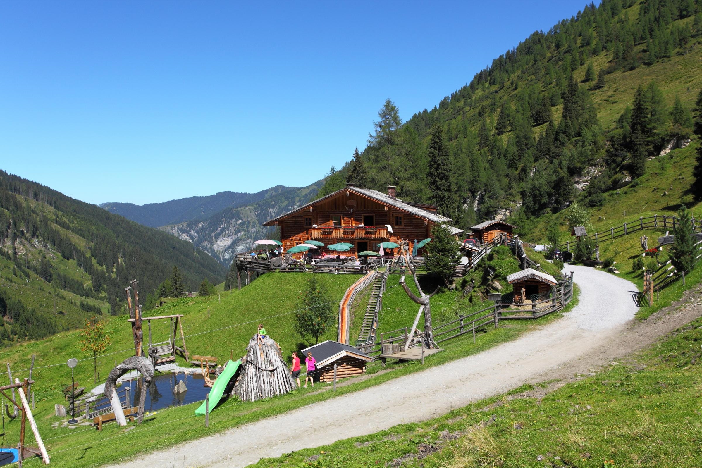
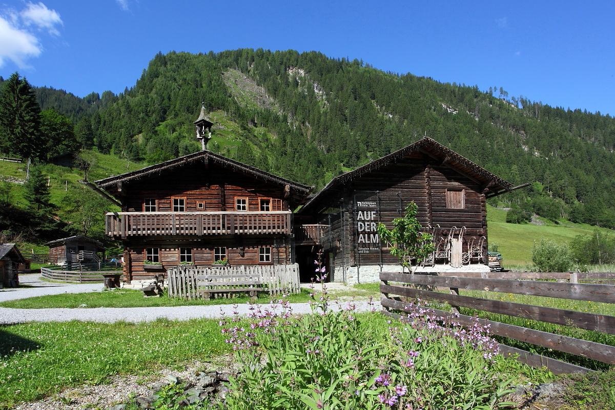
Nationalpark-Ausstellung Auf der Alm
A national park exhibition set in an alpine pasture hut in the upper Großarltal, on life between the valley farms and the high mountains.
Talmuseum Hüttschlag
The valley museum at Hüttschlag (982 m), with exhibitions on farming life and everyday history at the head of the Großarltal.
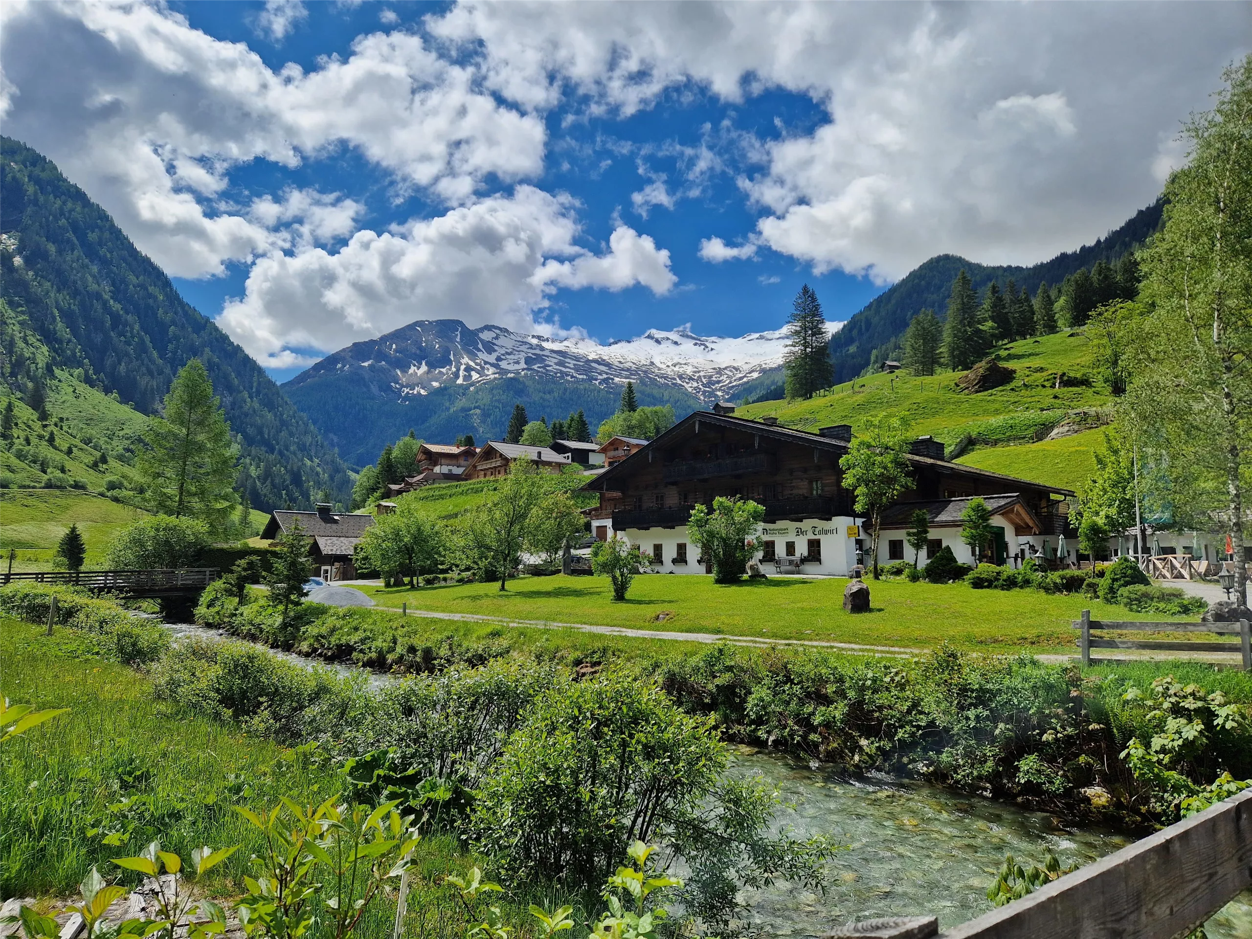
Gasthof Talwirt
A traditional inn at Hüttschlag (982 m) at the head of the Großarltal, serving home cooking to walkers and day visitors.
Draugsteinalm-Steinmannhütte, 1.778 m
The Steinmannhütte on the Draugsteinalm at 1,778 m above Hüttschlag, a summer alm with basic overnight accommodation.
Hirschgrubenalm, 1.564 m
A managed alm at 1,564 m above Hüttschlag with farm snacks and simple beds, on walking and bike routes in the inner valley.
Kreealm - Kreehütte, 1.483 m
The lower Kreealm hut at 1,483 m above Hüttschlag, with farm snacks and simple beds, a bike-and-hike destination in the inner Großarltal.
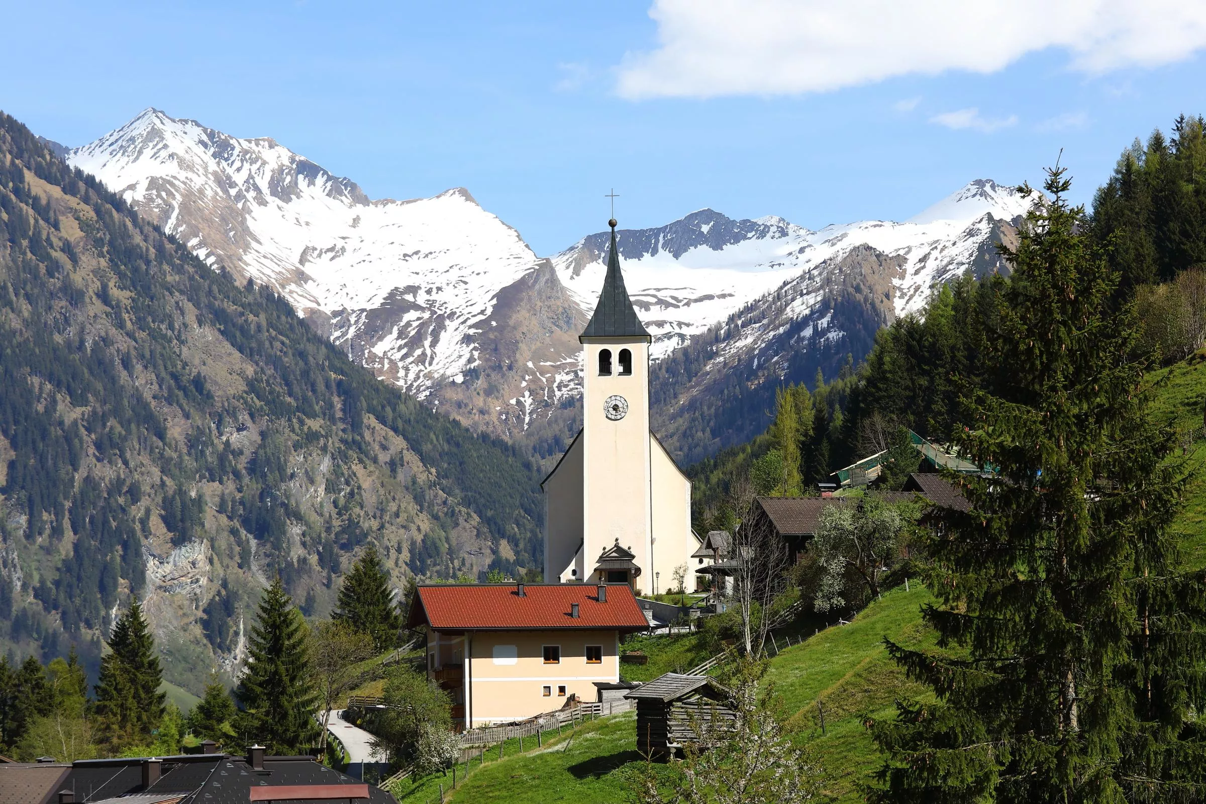
Pfarrkirche Hüttschlag
Parish church of Hüttschlag at 982 m, serving the innermost village of the Großarltal; its churchyard is still the village burial ground.
Tappenkarseehütte, 1.820 m
5.7 km away, in Kleinarl
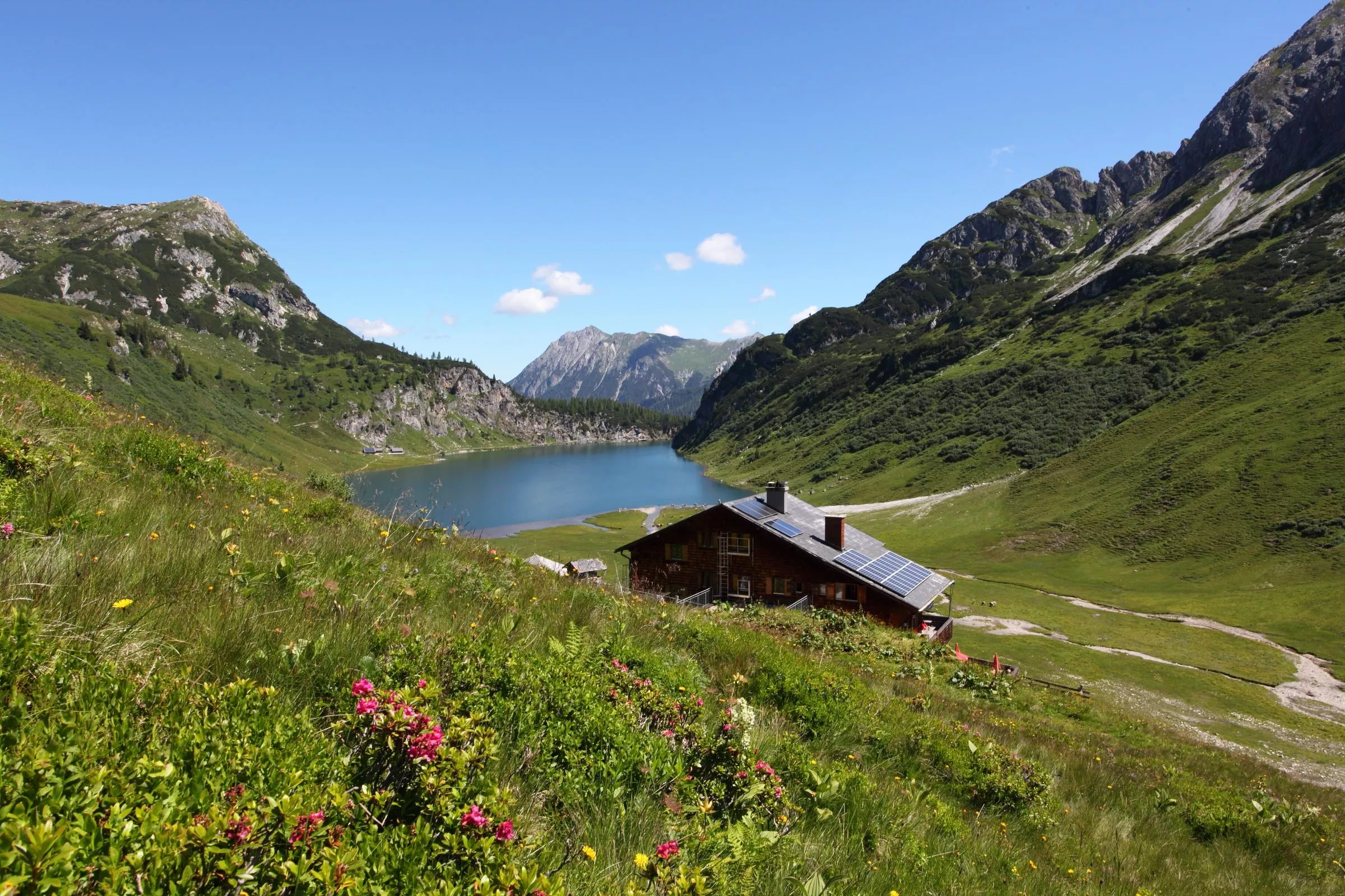
A mountain hut at 1,820 m above the Tappenkarsee near Hüttschlag, with beds and meals for walkers crossing the Radstädter Tauern.
Nothing of this kind in Hüttschlag.
Routes
50 routes, an even mix of activities · see the rest on grossarltal.info ↗
Hüttschlag: Franzl
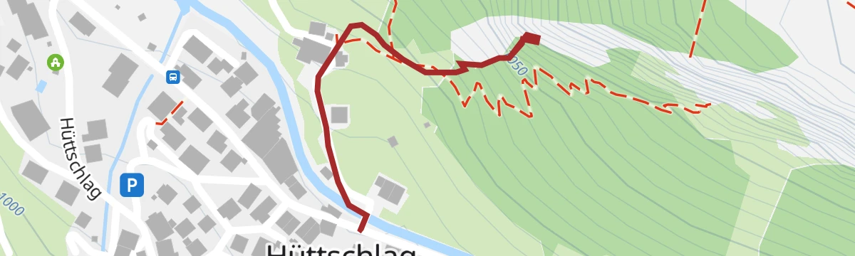
Cabled route up the Hüttschlager Wand, easy in grade, with 264 m of ascent over a short approach and climb.
- 1.9 km
- Distance
- 284 m
- Ascent
- 2 h 4 min
- Duration
Hüttschlag: Gletschergoaß
Short practice via ferrata above Hüttschlag, 119 m of climbing on ground gentle enough for a first outing on the cable.
- 708 m
- Distance
- 113 m
- Ascent
- 48 min
- Duration
Hüttschlag: Kupfergeist
Easy-graded cabled line up the Hüttschlager Wand above Hüttschlag, gaining 297 m over a 1.7 km approach and climb.
- 1.7 km
- Distance
- 293 m
- Ascent
- 2 h 4 min
- Duration
Hüttschlag: Ötzlsee
Nearly level walk to the Ötzlsee, a small lake at the head of the Hüttschlag valley, passing the Seegut on the way.
- 3.9 km
- Distance
- 20 m
- Ascent
- 58 min
- Duration
- 2
- Check-ins
 Ötzlsee 1 062 m
 Seegut 1 077 m
Salzburger Almenweg - Etappe 12: Tappenkarseehütte - Loosbühelalm
Twelfth Almenweg stage, traversing the flanks of the Draugstein by the Draugsteintörl and dropping through the Ellmautal to the Loosbühelalm.
- 8.9 km
- Distance
- 585 m
- Ascent
- 4 h 4 min
- Duration
- 65
- Check-ins
Großarltal: 3-Tages-Wanderung über den Tappenkarsee ins Ellmautal
Three-day crossing past the Tappenkarsee and over the Draugsteintörl into the Ellmautal, with the Tappenkarseehütte and Loosbühelalm as stops.
- 29.5 km
- Distance
- 1 755 m
- Ascent
- 12 h 57 min
- Duration
- 109
- Check-ins
Hüttschlag: Kreuzeck, 2.204 m
Ski tour to the 2,204 m Kreuzeck by way of the Karteisalm and Hallmoosalm; the wildlife sanctuary near the Ragglalm must be avoided, and the Klingspitz can be added in settled conditions.
- 8.0 km
- Distance
- 894 m
- Ascent
- 896 m
- Descent
- 3 h 19 min
- Duration
- 16
- Check-ins
Hüttschlag: Schöderhorn, 2.475 m
Long ski tour from Hüttschlag past the two Kreealm huts to the Schöderhorn at 2,475 m, with 1,430 m of climbing in all.
- 11.1 km
- Distance
- 1 430 m
- Ascent
- 1 429 m
- Descent
- 5 h 5 min
- Duration
- 11
- Check-ins
Hüttschlag: Kreealmen
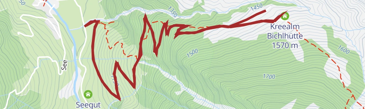
A short, steep haul on forest road to the cluster of huts at Kreealm, the Kreehüte and the Bichlhütte at nearly 1,600 m.
- 7.5 km
- Distance
- 454 m
- Ascent
- 1 h 11 min
- Duration
- 8
- Check-ins
Hüttschlag: Tofernalm
A long climb through the Tofern pastures, past the lower hut to the Obere Tofernalm at 1,824 m, the high point of the ride.
- 17.2 km
- Distance
- 858 m
- Ascent
- 2 h 23 min
- Duration
- 7
- Check-ins
Großarltal: Talwander- und Radweg
A shared walking and cycling path up the Großarl valley, passing the Ötzlsee and the Auhof.
- 22.2 km
- Distance
- 314 m
- Ascent
- 2 h 11 min
- Duration
- 10
- Check-ins
- Auhof 877 m
- Almhütte 865 m
- Steakhaus Großarl 879 m
- Ötzlsee 1 062 m
- Seegut 1 077 m
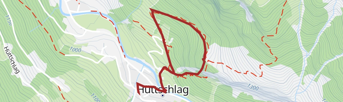
Hüttschlag: Ortsrundgang
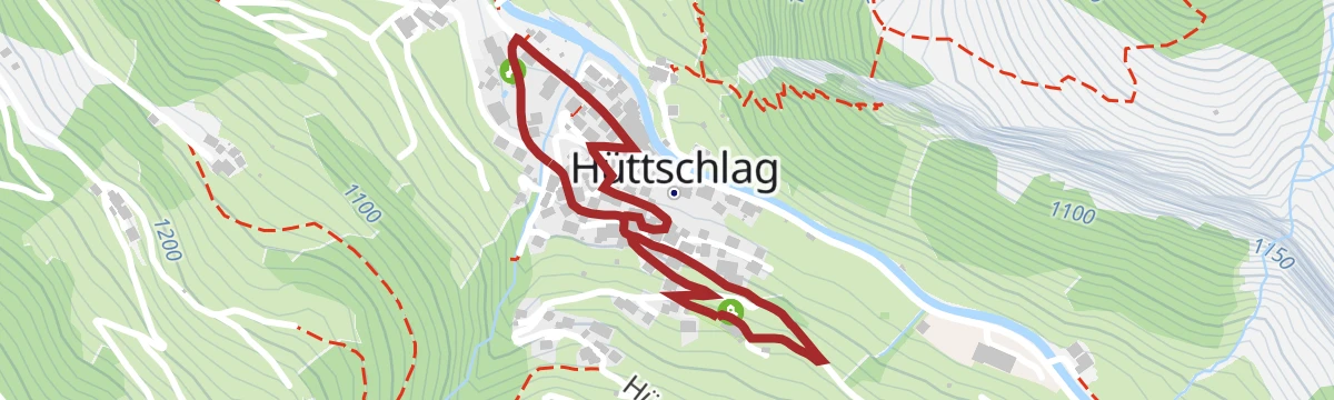
Short circuit of a village that once lived from copper mining, laid out along the Kupfergeist puzzle trail whose boards explain the workings.
- 1.6 km
- Distance
- 53 m
- Ascent
- 31 min
- Duration
3-Tages Hüttentour - Tag 2
Middle day of a hut tour from Hüttschlag towards Großarl, over the Filzmooshörndl and Filzmoossattel with the Filzmoosalm, Ellmaualm and Loosbühelalm en route.
- 10.8 km
- Distance
- 593 m
- Ascent
- 4 h 12 min
- Duration
- 61
- Check-ins
Hüttschlag: 2-Tages-Wanderung über Hundegg zum Tappenkarsee
Two-day round over the Hundegg and the Draugsteintörl to the Tappenkarsee, the largest mountain lake in the Eastern Alps, returning by the Filzmoossattel.
- 20.9 km
- Distance
- 1 659 m
- Ascent
- 10 h 42 min
- Duration
- 81
- Check-ins
Hüttschlag: Keeskogel, 2.884 m
Demanding ski tour of 2,100 m to the Keeskogel by way of the Modereggalm; glacier experience, navigation and settled snow are needed, so spring is best.
- 16.4 km
- Distance
- 2 079 m
- Ascent
- 2 075 m
- Descent
- 7 h 26 min
- Duration
- 3
- Check-ins
Hüttschlag: Harbachalm
A steady track ascent out of the Großarltal to the huts at Oberharbach and the Untere Tofernalm, just above 1,600 m.
- 14.6 km
- Distance
- 663 m
- Ascent
- 1 h 55 min
- Duration
- 6
- Check-ins
Großarltal: Talwander- und Radweg
A near-level valley path up the Großarltal, passing the Ötzlsee and the viewpoint above the river.
- 44.4 km
- Distance
- 300 m
- Ascent
- 4 h 13 min
- Duration
- 4
- Check-ins
- Almhütte 865 m
- Ötzlsee 1 062 m
- Tourismusverband Großarl 890 m
- Seegut 1 077 m
Hüttschlag - Tappenkarsee - Jägersee
Valley-to-valley walk from Hüttschlag over the Karteistörl to the Tappenkarsee, then down past the Schwabalm to the Jägersee in Kleinarl.
- 14.9 km
- Distance
- 837 m
- Ascent
- 6 h 18 min
- Duration
- 41
- Check-ins
3-Tages Hüttentour - Tag 1
Opening day of a hut tour out of Hüttschlag, over the Kreuzeck and the Karteistörl to the Tappenkarseehütte, with 1,218 m of climbing.
- 11.0 km
- Distance
- 1 217 m
- Ascent
- 6 h 27 min
- Duration
- 74
- Check-ins
Hüttschlag: Karkogel, 2.087 m
Steep, short ski tour to the Karkogel at 2,087 m, gaining 1,050 m in under 7 km, with the Hohe Tauern in view from the top.
- 6.7 km
- Distance
- 1 042 m
- Ascent
- 938 m
- Descent
- 3 h 30 min
- Duration
- 2
- Check-ins
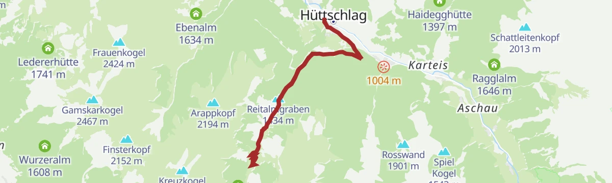
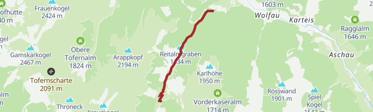
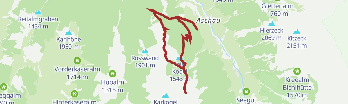
Hüttschlag: Reitalm
A forest-road climb up the Reitalmgraben to the hut at 1,621 m, returning by the same track to the floor of the Großarltal.
- 12.1 km
- Distance
- 652 m
- Ascent
- 1 h 46 min
- Duration
- 5
- Check-ins
Hüttschlag: Glettenalm
A forest-road climb from the Großarltal past the Hallmoosalm to a pasture at 1,760 m, high above the village of Hüttschlag.
- 18.0 km
- Distance
- 883 m
- Ascent
- 2 h 28 min
- Duration
- 3
- Check-ins
Großarl: Bichlalm - Remsteinkopf - Filzmooshöhe - Filzmoosalm
High traverse between Großarl and Hüttschlag, crossing the Stangersattel and Filzmoossattel over the Remsteinkopf, with the Bichlalm and Filzmoosalm for a stop.
- 13.6 km
- Distance
- 868 m
- Ascent
- 5 h 48 min
- Duration
- 28
- Check-ins
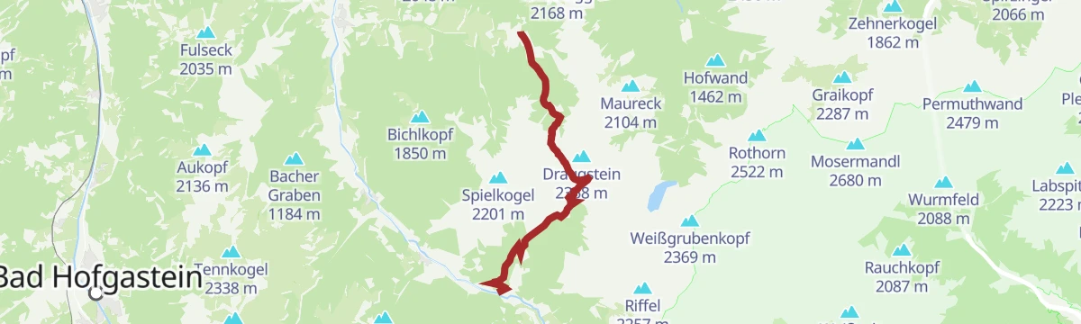
Hüttschlag: Karteistörl - Tappenkarsee - Draugsteintörl - Draugsteinalmen
Demanding circuit crossing the Karteistörl to the Tappenkarsee, returning over the Draugsteintörl by way of the Steinmann- and Schrambachhütte.
- 13.4 km
- Distance
- 1 153 m
- Ascent
- 7 h 18 min
- Duration
- 63
- Check-ins
Hüttschlag: Mandlkogel, 2.439 m
Ski tour by the Modereggalm to the Mandlkogel at 2,439 m; the 1,400 m of ascent make it a test of stamina.
- 10.9 km
- Distance
- 1 393 m
- Ascent
- 1 392 m
- Descent
- 4 h 58 min
- Duration
- 2
- Check-ins
Hüttschlag: Hirschgrubenalm
A short forest-road climb from the valley floor at Hüttschlag up to an alpine pasture at 1,564 m, then the same way back.
- 10.0 km
- Distance
- 531 m
- Ascent
- 1 h 27 min
- Duration
- 2
- Check-ins
Hüttschlag: Hubalm - Hirschgrubenalm
A ride linking two pastures above Hüttschlag, the lower hut at 1,315 m and the higher one at 1,564 m, on forest road throughout.
- 16.6 km
- Distance
- 688 m
- Ascent
- 2 h 8 min
- Duration
- 3
- Check-ins
Großarltal: 3-Tages-Wanderung Filzmoosalm bis Draugsteinalmen
Stage of a three-day family hut tour, crossing the Filzmoossattel from the Filzmoosalm to the two Draugsteinalm huts, with the Hallmoosalm below.
- 12.3 km
- Distance
- 758 m
- Ascent
- 5 h 51 min
- Duration
- 28
- Check-ins
Großarltal: 3-Tages-Wanderung über die Breitenebenalm und Ellmaualm zu den Draugsteinalmen
A three-day hut walk of 24 km linking the Breitenebenalm, the Ellmaualm and the Draugsteinalmen over the Gründegg and the Filzmoossattel.
- 23.5 km
- Distance
- 1 526 m
- Ascent
- 10 h 8 min
- Duration
- 62
- Check-ins
Hüttschlag: Plattenkogel, 2.273 m
Ski tour above the Modereggalm to the Plattenkogel at 2,273 m, with 1,230 m of climbing that asks for fitness.
- 9.7 km
- Distance
- 1 226 m
- Ascent
- 1 226 m
- Descent
- 4 h 23 min
- Duration
- 1
- Check-ins
Hüttschlag: Hubalm
An easy-angled track ride up the Großarltal to the Hubalm at 1,315 m, a there-and-back with under 500 m of climbing.
- 12.6 km
- Distance
- 483 m
- Ascent
- 1 h 34 min
- Duration
- 1
- Check-ins
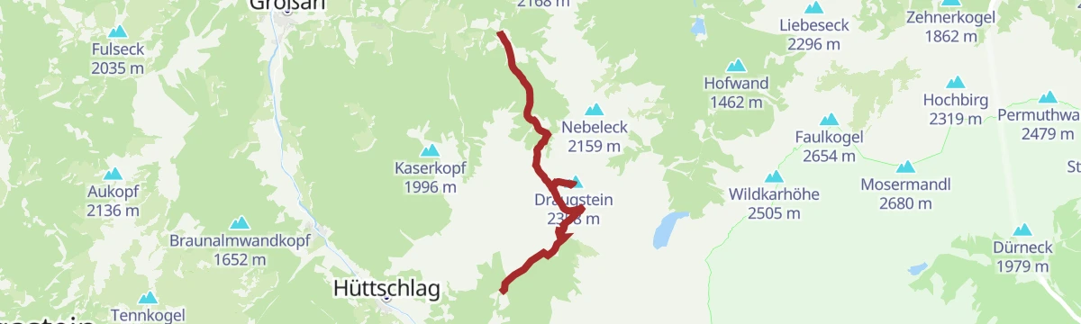
Hüttschlag: Draugsteinalmen
Short climb from Hüttschlag past the Hallmoosalm to the Draugsteinalmen, a pair of alm huts called the Steinmannhütte and Schrambachhütte.
- 5.8 km
- Distance
- 478 m
- Ascent
- 3 h 3 min
- Duration
- 15
- Check-ins
Großarltal: 3-Tages-Wanderung Ellmautal und Hüttschlag
A three-day route for active families through the Ellmautal to Hüttschlag, 27 km with nights in huts such as the Draugsteinalm and the Filzmoosalm.
- 26.8 km
- Distance
- 1 571 m
- Ascent
- 11 h 47 min
- Duration
- 60
- Check-ins
Hüttschlag: Vorderkaseralm - Roßkarkopf - Roßkarkopfscharte - Reitalm
Round from the Vorderkaseralm over the Roßkarkopf and its scharte to the Reitalm, with 840 m of ascent on alm paths.
- 12.3 km
- Distance
- 949 m
- Ascent
- 6 h 10 min
- Duration
- 9
- Check-ins
Hüttschlag: Kreuzeck- Karteistörl - Tappenkarsee - Draugsteintörl - Draugsteinalmen
Round over the Kreuzeck with the Tappenkarsee in view below, dropping to the Draugsteintörl and the Draugsteinalmen before the Hallmoosalm.
- 12.5 km
- Distance
- 965 m
- Ascent
- 6 h 16 min
- Duration
- 46
- Check-ins
Hüttschlag: Kreealmen
Steady walk past a waterfall to the two Kreealm huts, the Kreehütte and the Bichlhütte, with 470 m of ascent.
- 5.6 km
- Distance
- 474 m
- Ascent
- 3 h
- Duration
- 8
- Check-ins
Hüttschlag: Murtörl - Nebelkarscharte - Klingspitz
Big day from Hüttschlag over the Murtörl and the Nebelkarscharte to the Glingspitze, with the Kreealmen on the approach; sure footing and a head for heights are needed.
- 22.3 km
- Distance
- 1 770 m
- Ascent
- 11 h 30 min
- Duration
- 38
- Check-ins
Hüttschlag: Reitalm
Gentle alm walk from Hüttschlag up to the Reitalm and back, with 330 m of ascent over 7 km.
- 7.0 km
- Distance
- 335 m
- Ascent
- 2 h 30 min
- Duration
- 5
- Check-ins
Hüttschlag: Harbachalm - Gamskarkogel - Frauenkogel - Aigenalmen
Ridge day from the Harbachalm over the Gamskarkogel, the highest grass mountain in Europe, then across the Tofernscharte to the Frauenkogel and the Aigenalmen.
- 18.8 km
- Distance
- 1 434 m
- Ascent
- 9 h 44 min
- Duration
- 36
- Check-ins
Hüttschlag: 3-Tages-Wanderung Hirschgrubenalm bis Modereggalm
Stage of a three-day walk linking the Hirschgrubenalm, Aschlreitalm and Modereggalm on the slopes above Hüttschlag.
- 8.3 km
- Distance
- 691 m
- Ascent
- 4 h 44 min
- Duration
- 3
- Check-ins
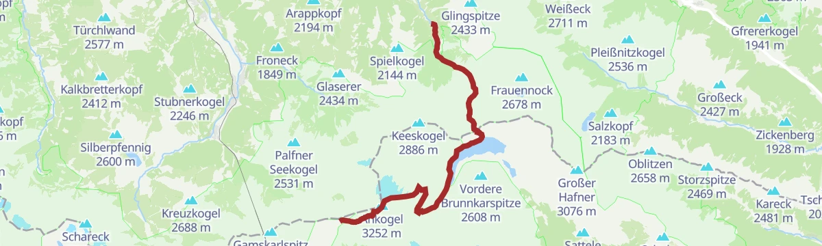
Hüttschlag: Ankogel
The one 3,000 m peak reachable from the Großarltal: 2,659 m of climbing by way of the Arlscharte and the Osnabrücker Hütte to a 3,252 m summit.
- 25.8 km
- Distance
- 2 653 m
- Ascent
- 13 h 17 min
- Duration
- 34
- Check-ins
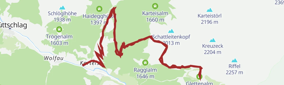
Hüttschlag: Glettenalm
Alm walk to the Glettenalm above Hüttschlag, passing the Hallmoosalm and Ragglalm, with 530 m of ascent over 12 km.
- 12.3 km
- Distance
- 605 m
- Ascent
- 4 h 26 min
- Duration
- 3
- Check-ins
Großarltal: Hundegg - Spielkogel - Filzmoossattel - Draugsteinalmen
Panorama round over the Hundegg and Spielkogel, crossing the Filzmoossattel and Stangersattel, with the Draugsteinalm huts for a break.
- 13.3 km
- Distance
- 979 m
- Ascent
- 6 h 26 min
- Duration
- 33
- Check-ins
Hüttschlag: Hirschgrubenalm - Aschlreitalm - Modereggalm
Circuit under the Keeskogel calling at three serviced alms — the Hirschgrubenalm, Aschlreitalm and Modereggalm — with 877 m of ascent.
- 11.5 km
- Distance
- 868 m
- Ascent
- 5 h 40 min
- Duration
- 3
- Check-ins
Großarltal: 2-Tages-Wanderung Gamskarkogel und Frauenkogel
Two-day round on the divide between the Großarltal and the Gasteinertal, over the Gamskarkogel and Frauenkogel, with the Gamskarkogelhütte and the Tofernalmen on the route.
- 19.3 km
- Distance
- 1 598 m
- Ascent
- 10 h 21 min
- Duration
- 31
- Check-ins
Hüttschlag: Schödersee
Walk up the Hüttschlag valley to the Schödersee, a lake that fills and drains with the season, passing the Ötzlsee on the way.
- 11.8 km
- Distance
- 398 m
- Ascent
- 3 h 45 min
- Duration
- 3
- Check-ins
- Ötzlsee 1 062 m
- Schödersee 1 431 m
- Seegut 1 077 m
Großarltal: Draugsteinalmen - Draugstein - Filzmoosalm
Climb from the Draugsteinalmen onto the Draugstein, one of three limestone peaks in the valley, returning by the Filzmoossattel to the Filzmoosalm.
- 11.0 km
- Distance
- 1 051 m
- Ascent
- 6 h 26 min
- Duration
- 30
- Check-ins
Hüttschlag: Hirschgrubenalm
Easy-going walk up to the Hirschgrubenalm above Hüttschlag, with 360 m of ascent on a good alm track.
- 6.8 km
- Distance
- 367 m
- Ascent
- 2 h 36 min
- Duration
- 2
- Check-ins
Salzburger Almenweg - Etappe 11: Hüttschlag - Tappenkarseehütte
Eleventh stage of the Salzburger Almenweg, over the Karteistörl and past the Hallmoosalm to the hut above a cold, legend-haunted lake.
- 11.6 km
- Distance
- 1 260 m
- Ascent
- 6 h 4 min
- Duration
- 25
- Check-ins
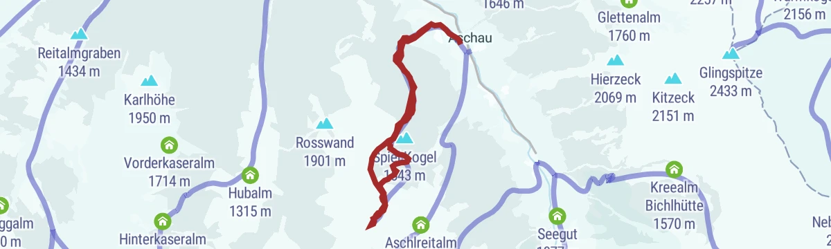
Hüttschlag: Hirschgrubenalm - Aschlreitalm
Alm walk over the Spielkogel linking the Hirschgrubenalm and Aschlreitalm, with 584 m of ascent above Hüttschlag.
- 8.5 km
- Distance
- 578 m
- Ascent
- 3 h 52 min
- Duration
- 2
- Check-ins
No routes of this kind in Hüttschlag yet.
The region's own picks
Featured route
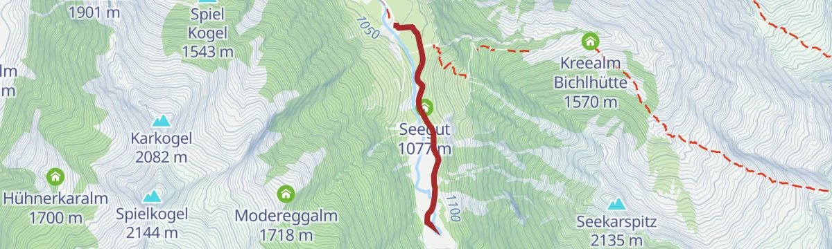
Hüttschlag: Ötzlsee
Nearly level walk to the Ötzlsee, a small lake at the head of the Hüttschlag valley, passing the Seegut on the way.
Planning a trip to Hüttschlag?
Everything else Salzburg (state) has, in one place


Take Hüttschlag with you into the mountains
Every route on this page with 3D terrain, GPX navigation and offline maps — including the valleys with no signal.
Data sources
- Official website: grossarltal.info ↗
- Routes and highlights: Großarltal Tourismus, Nationalpark
- Published as open data by the tourist boards named above.
- Region summary generated from the board's own material.
