
 Cable car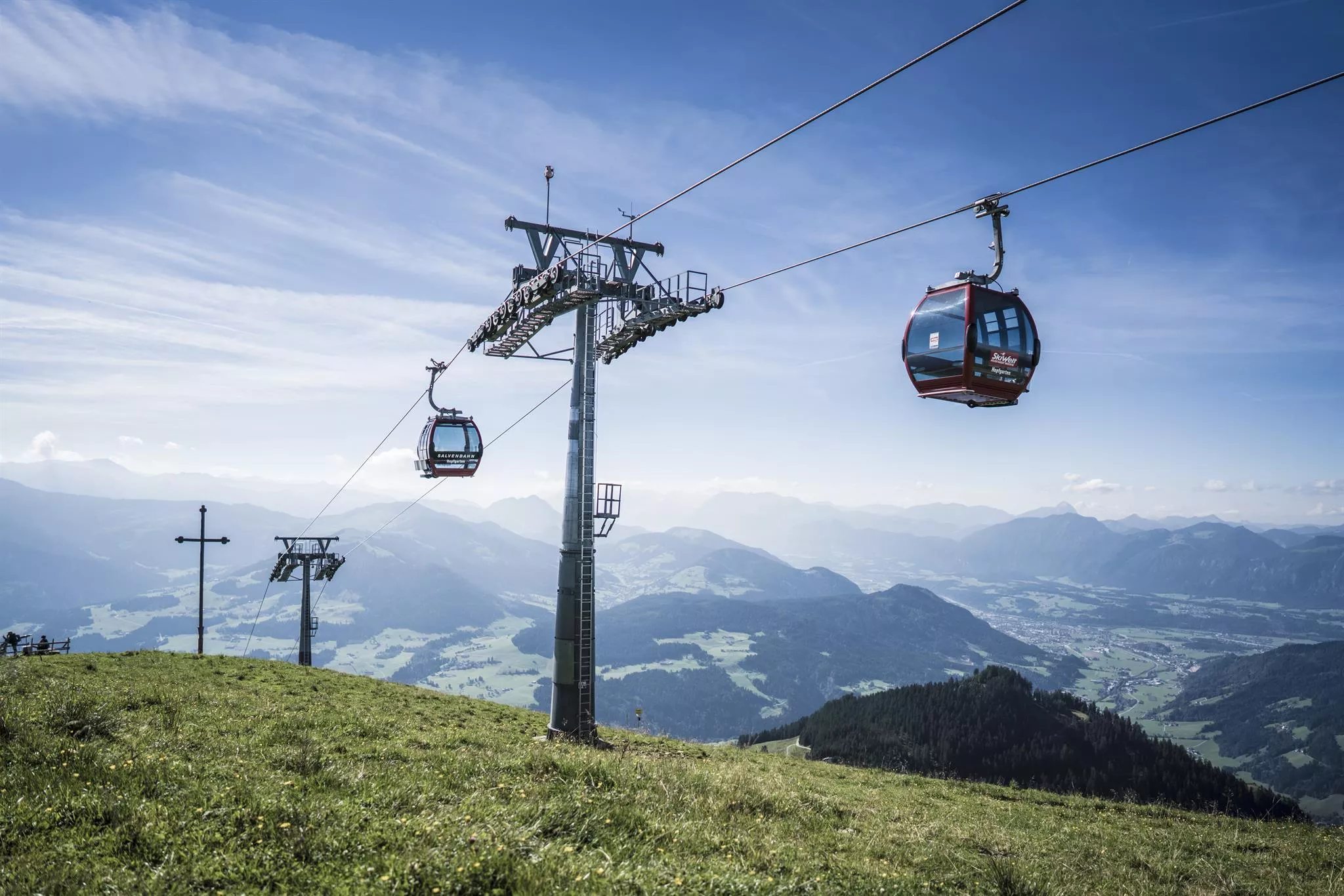
























Curated by Kitzbüheler Alpen Tourismus
Hopfgarten im Brixental
A market town at the meeting of the Brixental and the Kelchsau valleys below the Hohe Salve, by area the largest municipality of the Kitzbühel district.
- 11Highlights
- 136Routes
- Featured summit · Hohe Salve
Highlights
4 from neighbouring places
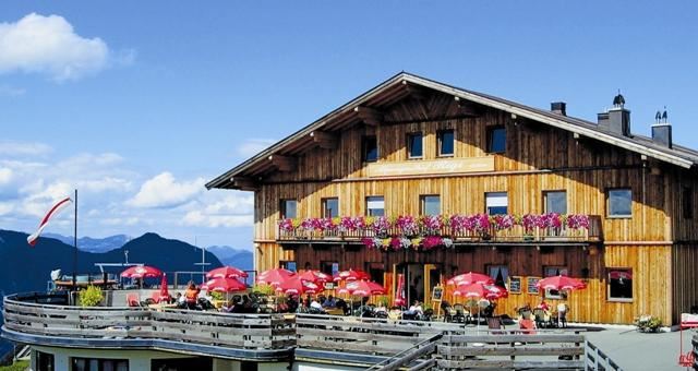
Alpengasthof Rigi
An alpine inn on the slopes between Söll and the Hohe Salve, serving regional dishes and listed among the region's accessible mountain restaurants.
Bergsee mit Skulpturen
A small mountain lake in the hills above Niederau in the Wildschönau, ringed by sculptures and reached on foot from the Markbachjoch area.
Holz Alm - Käse Alm
A working cheese alm on the ridge country between the Wildschönau and Hopfgarten im Brixental, where visitors can taste cheese made on site.
Bergbahnen Hohe Salve
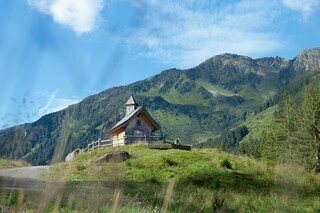
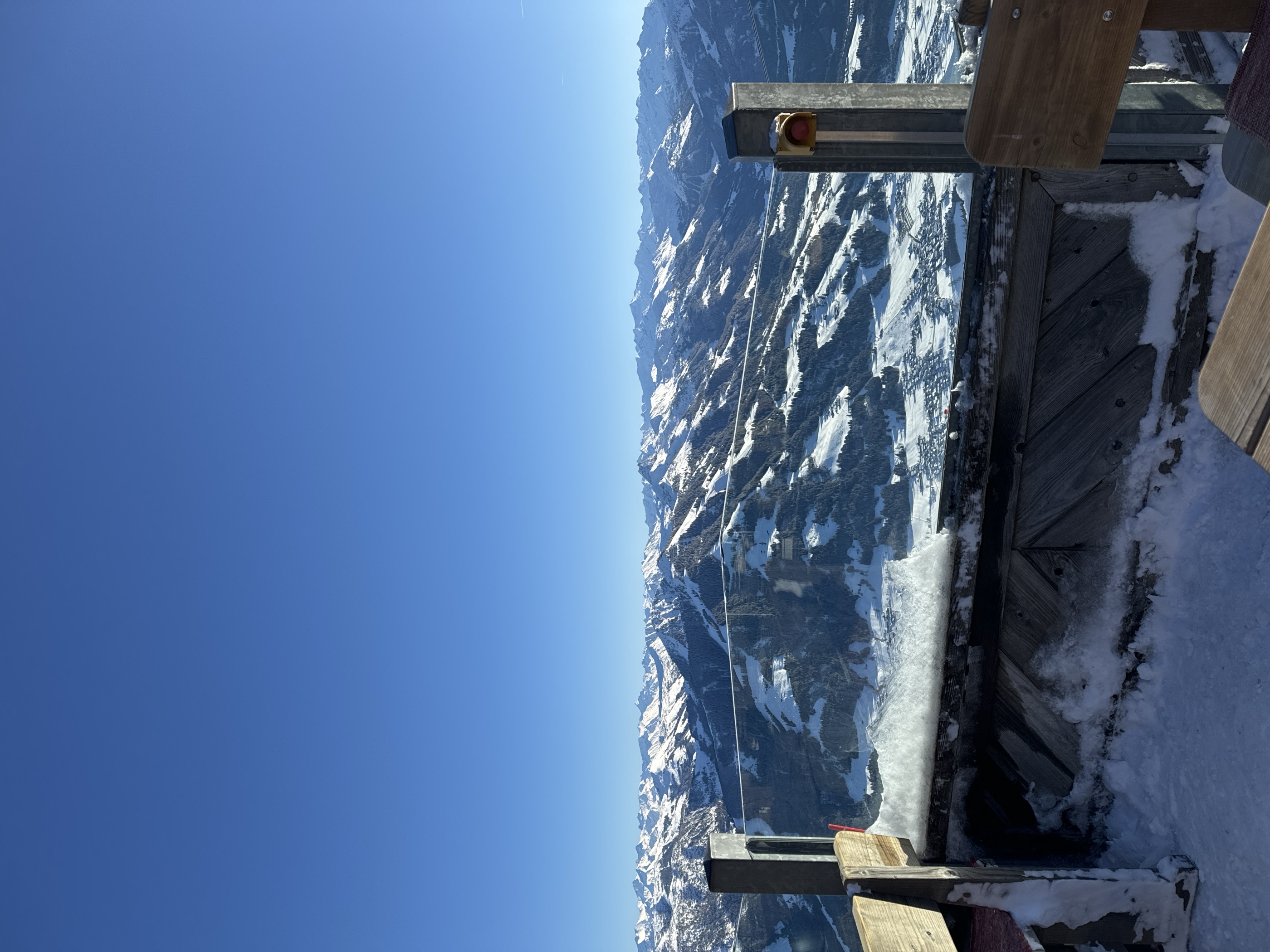
The gondola from Hopfgarten im Brixental to the summit of the Hohe Salve, whose top station stands beside the pilgrimage chapel.
Bergbahnen Hopfgarten - Salvenbahn I und II
A two-stage gondola from Hopfgarten im Brixental at 603 m towards the Hohe Salve, linking the village into the SkiWelt Wilder Kaiser-Brixental area.
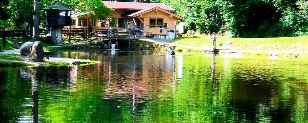
Lärchenteich Hopfgarten
A fishing pond set among larch trees at Hopfgarten im Brixental, stocked for day anglers at the edge of the village.
Imkerei Rief - Honig ab Hof - Schaumuseum
A beekeeping farm in Kelchsau with a small show museum, selling honey directly from the farm in the Brixental side valley.
Berghütte Rosswildalpe
A mountain hut in the grazing valleys above Kelchsau, a remote stop for hikers and ski tourers in the Kitzbüheler Alpen.
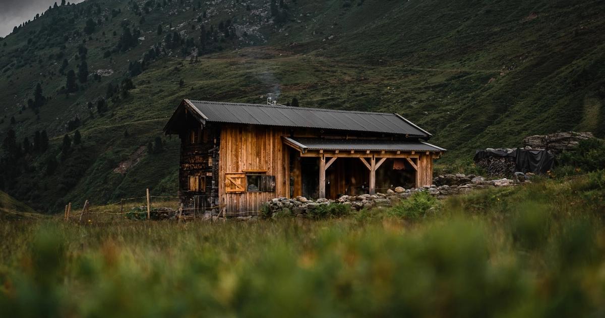
Kohlenau Hütte
A small hut in the Kohlenau above Hopfgarten im Brixental, a refreshment stop on walks into the valley's quiet side arms.
Markbachjoch Alm
An alm hut at the Markbachjoch above Niederau in the Wildschönau, near the top station of the Markbachjoch lift at around 1,500 m.
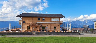
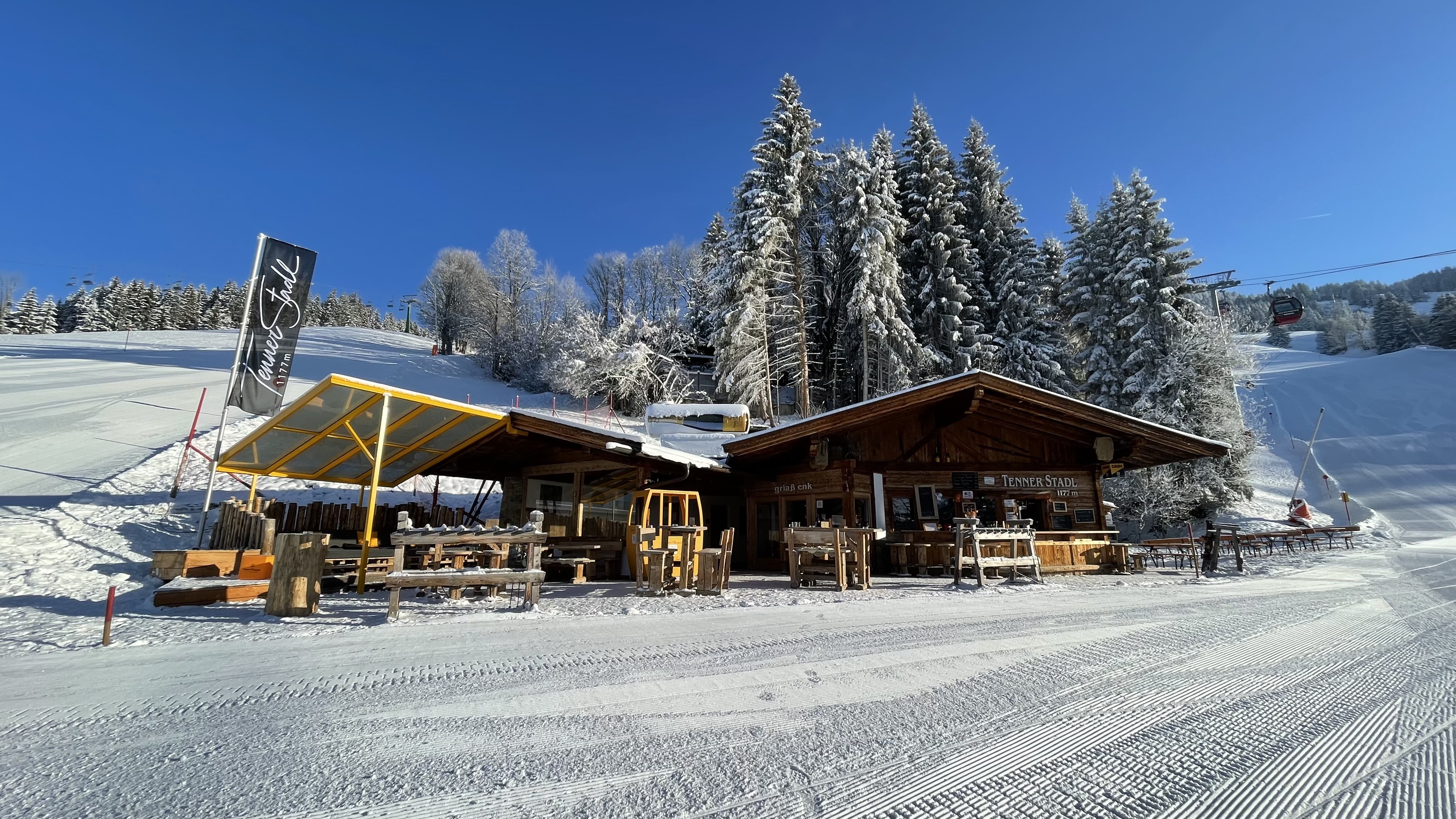
Tenner Stadl
A rustic barn restaurant at the Tenn above Hopfgarten im Brixental, serving hearty food in a converted Stadl, the Tyrolean word for a hay barn.
Spielplatz Schönangeralm
4.2 km away, in Wildschönau
A playground at the Schönangeralm, the alpine pasture at the head of the Auffach valley in the Wildschönau, next to the alm dairy.
Schönanger Alm
4.2 km away, in Wildschönau
An alm at the Schönanger in the upper Auffach valley of the Wildschönau, home to a show cheese dairy where alpine cheese is made and sold.
Alpengasthaus Schönangeralm
4.2 km away, in Wildschönau
An alpine inn on the Schönanger pasture at the head of the Wildschönau valley, close to a show dairy where alpine cheese is made.
Kapelle Schönanger
4.2 km away, in Wildschönau
A chapel at the Schönanger alm meadows near the end of the Auffach valley, serving herders and walkers through the summer.
Nothing of this kind in Hopfgarten im Brixental.
Routes
50 routes, an even mix of activities · see the rest on kitzbueheler-alpen.com ↗
Markbachjoch - Roßkopf - Oberau
From the Markbachjoch lift station over the gentle grass summit of the Roßkopf and down past the Jausenstation Rosskopfhütte to Oberau — an easy half-day with steady Wildschönau views.
- 5.9 km
- Distance
- 321 m
- Ascent
- 2 h 17 min
- Duration
- 34
- Check-ins
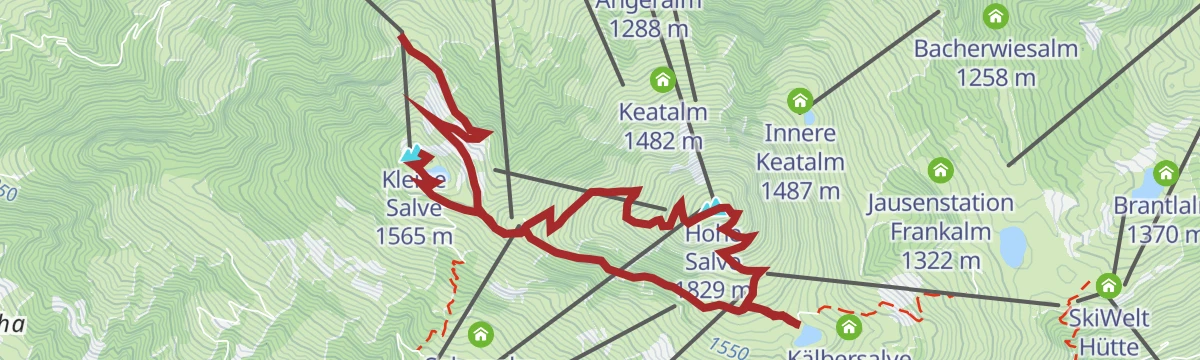
Gipfeltour Kleine und Hohe Salve
Two summits in one walk above Hopfgarten, the Kleine Salve and the Hohe Salve, with the Kraftalm and the Gipfelalm for refreshment.
- 7.4 km
- Distance
- 350 m
- Ascent
- 3 h
- Duration
- 160
- Check-ins
Panoramarunde Kleine Salve
A long circuit over the Salve massif's lower summit, connecting the Gipfelalm on the Hohe Salve, the Kraftalm and a string of pasture inns high above the Brixental.
- 14.3 km
- Distance
- 906 m
- Ascent
- 6 h 12 min
- Duration
- 168
- Check-ins
Skitour Neue Bamberger Hütte
A steady skin from the Wegscheid toll-road car park in the Kelchsau past the Kuhwildalm to a staffed Alpine Club hut, with gentle alm terrain for the descent.
- 4.5 km
- Distance
- 647 m
- Ascent
- 647 m
- Descent
- 2 h 14 min
- Duration
- 22
- Check-ins
Niederau-Möslalm (343)
A short, easy climb from Niederau at 830 m to the alm inn on the slope above, a little over 200 m of height gain.
- 3.2 km
- Distance
- 209 m
- Ascent
- 32 min
- Duration
- 2
- Check-ins
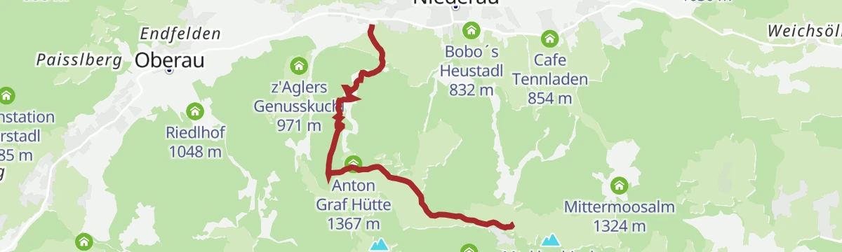
Markbachjoch Runde
A circuit out of Niederau climbing to the Anton-Graf-Hütte and Norderbergalm at about 1,360 m before the run back to the valley.
- 13.9 km
- Distance
- 667 m
- Ascent
- 1 h 53 min
- Duration
- 16
- Check-ins
Juwel Runde Wildschönau Alpbachtal
A long link between the Schatzbergalm and the Bischoferjoch, with more than 3,500 m of climbing on forest roads and alm tracks.
- 92.1 km
- Distance
- 3 508 m
- Ascent
- 11 h 29 min
- Duration
- 68
- Check-ins
Bike & Hike Hohe Salve von Hopfgarten
A steep 1,250 m climb from the valley floor past Berggasthof Tenn and Alpengasthof Rigi to the Gipfelalm at 1,828 m.
- 11.5 km
- Distance
- 1 250 m
- Ascent
- 2 h 52 min
- Duration
- 145
- Check-ins
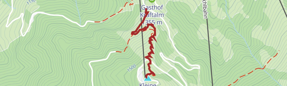
Steig Kleine Salve
Short summit path from the Gasthof Kraftalm up the final grassy slopes, a quick top-out with views over the Brixental to the Wilder Kaiser.
- 1.1 km
- Distance
- 195 m
- Ascent
- 1 h 6 min
- Duration
- 26
- Check-ins
Hohe Salve über KRAFTalm
Short, sharp ascent past the Gasthof Kraftalm to the Hohe Salve, whose summit chapel and 360-degree panorama repay the climb; the Salvistabahn from Itter shortens the approach.
- 6.7 km
- Distance
- 478 m
- Ascent
- 3 h 10 min
- Duration
- 148
- Check-ins
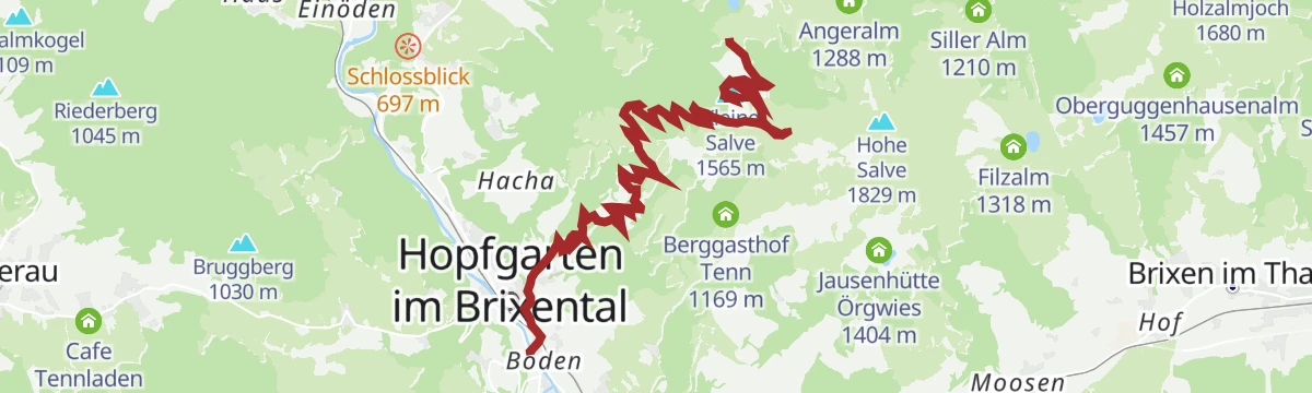
Von Hopfgarten zum Gipfel der Hohen Salve
Full valley-to-summit ascent from Hopfgarten to the Hohe Salve, over 1,200 m up past the Kälberalm and the Alpengasthof Rigi to the chapel-topped viewpoint.
- 8.1 km
- Distance
- 1 233 m
- Ascent
- 7 h 5 min
- Duration
- 143
- Check-ins
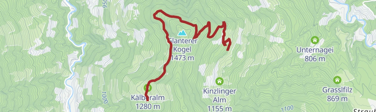
294 | Glanterer Kogel
A short and easy forest-road climb on the slopes above Westendorf, gaining under 300 m to the Kälberalm at 1,280 m.
- 4.9 km
- Distance
- 293 m
- Ascent
- 46 min
- Duration
Niederau-Markbachjochrunde
A forest-road loop from Niederau up to the Hartl Alm and Norderbergalm, returning past the huts on the valley floor around 830 m.
- 14.4 km
- Distance
- 708 m
- Ascent
- 1 h 59 min
- Duration
- 14
- Check-ins
MTB-Tour um die Hohe Salve
A long circuit around the central peak of the SkiWelt, running over to Hopfgarten and back past the SkiWelt Hütte and the Gründlalm.
- 36.5 km
- Distance
- 877 m
- Ascent
- 4 h 4 min
- Duration
- 48
- Check-ins
Rennrad 08 Pölvenrunde
A long road circuit from the lower Inn valley over to Hopfgarten in the Brixental, returning by Mariastein and Angerberg.
- 82.2 km
- Distance
- 1 004 m
- Ascent
- 8 h 14 min
- Duration
- 50
- Check-ins
Wanderung Kleine Salve zur KRAFTalm
Nearly level panoramic stroll from the mountain station across to the Gasthof Kraftalm below the Kleine Salve — gondola up, easy walking on top.
- 2.3 km
- Distance
- 4 m
- Ascent
- 32 min
- Duration
- 26
- Check-ins
Umgebung: 1. Etappe KAT Walk Family
First KAT Walk Family stage, from Hopfgarten to Brixen im Thale over the Hohe Salve and down past the Filzalm and the Berggasthof Tenn.
- 9.9 km
- Distance
- 649 m
- Ascent
- 5 h 4 min
- Duration
- 147
- Check-ins
Höhenweg Trophy Gipfel Trail
Longest of the Wildschönau Höhenweg Trophy routes, collecting Rosskopf, Feldalphorn, Breiteggspitze and Sonnenjoch on a ridge marathon between the Markbachjoch and the Schönangeralm.
- 29.1 km
- Distance
- 2 007 m
- Ascent
- 13 h 58 min
- Duration
- 92
- Check-ins
Gruberberg (MTB Route 274)
A short, easy forest-road climb above Hopfgarten im Brixental, gaining just over 300 m in under 5 km on waymarked tracks.
- 4.8 km
- Distance
- 305 m
- Ascent
- 47 min
- Duration
Roggenboden-Holzalm (375)
A steady forest-road climb from the valley floor to the cheese alm at 1,436 m on the Brixental side of the ridge.
- 6.3 km
- Distance
- 575 m
- Ascent
- 1 h 22 min
- Duration
- 5
- Check-ins
Über Hochbrixen zum Hexenwasser
A long forest-road ride from Westendorf over the Hochbrixen slopes to Söll, calling at the Gründlalm, the Siller Alm and the Alpengasthof Hochsöll.
- 36.2 km
- Distance
- 991 m
- Ascent
- 4 h 9 min
- Duration
- 48
- Check-ins
06 - Hochtal-Tour Schönangeralm
A long day from the Inn valley at Kufstein into the Wildschönau, climbing the high valley to the Schönangeralm at 1,172 m before the return.
- 81.3 km
- Distance
- 1 376 m
- Ascent
- 8 h 30 min
- Duration
- 36
- Check-ins
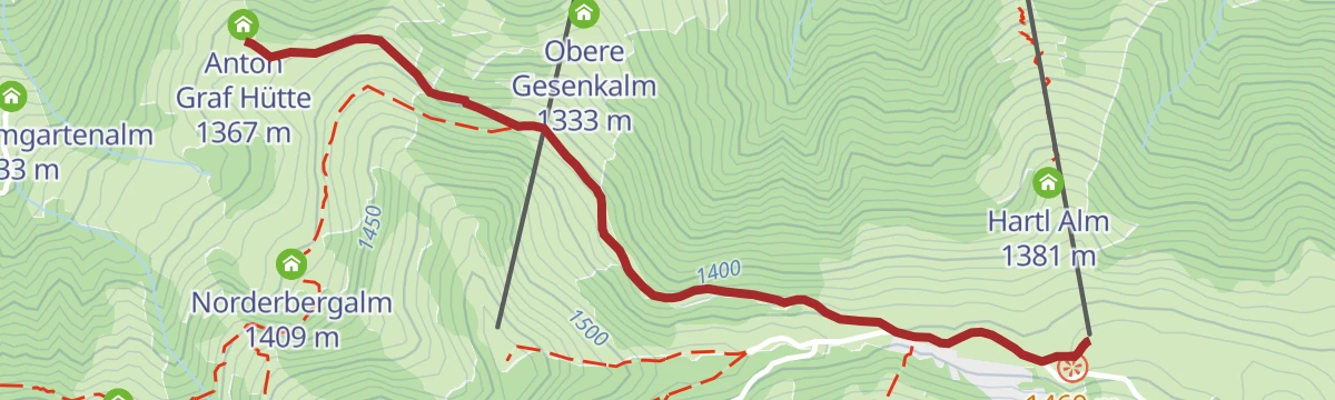
Markbachjoch-Niederau über Forstweg
Gentle forest-road route from the Markbachjoch toward Niederau in the Wildschönau, passing the Norderbergalm and the Anton-Graf-Hütte with barely any climbing.
- 4.3 km
- Distance
- 0 m
- Ascent
- 1 h 38 min
- Duration
- 20
- Check-ins
Vom Gipfel Hohe Salve nach Hopfgarten
Downhill-only route from the Hohe Salve summit — reached by gondola — descending past the Rigi and the Kälberalm through sunny pastures to Hopfgarten.
- 8.0 km
- Distance
- 8 m
- Ascent
- 1 h 53 min
- Duration
- 143
- Check-ins
Höhenweg Trophy Power Trail
Power variant of the Wildschönau Höhenweg Trophy, crossing Rosskopf, Feldalphorn, Breiteggspitze and Breitegg Gern between the Markbachjoch and the Schönangeralm.
- 19.7 km
- Distance
- 1 000 m
- Ascent
- 7 h 49 min
- Duration
- 74
- Check-ins
Niederau Foisching
A short, easy mountain-bike outing on the forest tracks above the Brixental, with just over 200 m of climbing.
- 4.0 km
- Distance
- 210 m
- Ascent
- 35 min
- Duration
Traucharunde (MTB Route 295)
A moderate mountain-bike round on the valley slopes above Hopfgarten, with the Reiterhof campsite on the way and only modest climbing.
- 11.3 km
- Distance
- 320 m
- Ascent
- 1 h 18 min
- Duration
- 2
- Check-ins
1. Etappe KAT Bike Sport+
The opening stage of a multi-day mountain-bike route, climbing from Hopfgarten over the Kleine Salve past the Kälbersalve Alm.
- 25.0 km
- Distance
- 1 205 m
- Ascent
- 3 h 23 min
- Duration
- 45
- Check-ins
06A - Variante Hochtal-Runde
A tougher variant of the Wildschönau circuit, adding height on the way to the Schönangeralm and passing the Feldalm and Gasthof Oberstegen.
- 80.7 km
- Distance
- 1 715 m
- Ascent
- 8 h 47 min
- Duration
- 36
- Check-ins
Markbachjoch - Norderbergalm
A short, almost flat stroll from the Markbachjoch lift's top station across to the Norderbergalm and the Anton-Graf-Hütte — a gentle leg-stretcher with valley views, well suited to families.
- 1.9 km
- Distance
- 7 m
- Ascent
- 27 min
- Duration
- 20
- Check-ins
Wildschönauer Höhenweg
A long high route along the grassy crest above the valley, from the Markbachjochalm to the Schönangeralm via the Brixentaler Holzalm, Breiteggalm and Kleinneubergalm.
- 14.9 km
- Distance
- 771 m
- Ascent
- 5 h 35 min
- Duration
- 60
- Check-ins
Höhenweg Trophy Wanderroute
Hiking version of the Wildschönau Höhenweg Trophy, crossing Rosskopf, Feldalphorn, Breitegg Gern and Schwaigberghorn between the Markbachjochalm and the Schönangeralm.
- 15.3 km
- Distance
- 955 m
- Ascent
- 7 h 5 min
- Duration
- 71
- Check-ins
Kleine Salvenbergrunde
A demanding forest-road round with over 2,000 m of climbing, taking in the Gasthof Kraftalm, Alpengasthof Rigi and the Kälbersalve Alm.
- 22.4 km
- Distance
- 2 138 m
- Ascent
- 5 h 2 min
- Duration
- 45
- Check-ins
02 - Rund um die Salve und den Kaiser
A long road loop out of Scheffau down to Kufstein and back through Hopfgarten, passing the Erlensee on the return.
- 95.3 km
- Distance
- 1 074 m
- Ascent
- 9 h 28 min
- Duration
- 34
- Check-ins
Mödlingweg
Short, easy walk from Hopfgarten's center on quiet lanes above the rooftops, a small loop for an hour's fresh air.
- 2.3 km
- Distance
- 104 m
- Ascent
- 48 min
- Duration
- 6
- Check-ins
Quellen Wanderweg
Climbs from Söll into the spring country of the Hohe Salve, where the mountain's water rises; inns from the Kraftalm to the Stöcklalm line the round.
- 10.3 km
- Distance
- 520 m
- Ascent
- 3 h 48 min
- Duration
- 54
- Check-ins
Schwaigberghorn über Markbachjoch und Feldalphorn
Marathon ridge day from the Kelchsau side over the Markbachjoch and Feldalphorn to the Schwaigberghorn, returning via the Mittermooser Joch and the Brixentaler Holzalm.
- 20.8 km
- Distance
- 1 327 m
- Ascent
- 9 h 3 min
- Duration
- 62
- Check-ins
Hopfgarten - GH Rigi (MTB Route 268)
A steep forest-road climb of over 1,000 m in 8 km, passing the Gasthof Kraftalm and topping out near the Salvistabahn top station.
- 12.0 km
- Distance
- 1 036 m
- Ascent
- 2 h 30 min
- Duration
- 36
- Check-ins
Rennradrunde - Reintaler Seen
A long road circuit from the Inn valley up to the lakes above Kramsach, with inns and campsites along the shore.
- 69.9 km
- Distance
- 655 m
- Ascent
- 6 h 49 min
- Duration
- 34
- Check-ins
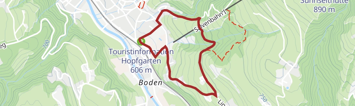
Sunnseitrunde
Loop on Hopfgarten's sunny slope, climbing gently above the twin-towered village church for open views over the Brixental.
- 4.9 km
- Distance
- 248 m
- Ascent
- 1 h 48 min
- Duration
- 6
- Check-ins
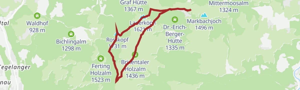
Auf den Roßkopf
A moderate summit walk from the Markbachjochalm to the Roßkopf via the Brixentaler Holzalm and the Halsgatterl, with cheese snacks at the Holzalm-Kaesealm on the way back.
- 7.4 km
- Distance
- 408 m
- Ascent
- 2 h 54 min
- Duration
- 36
- Check-ins
Salzachgeier
Long tour from Gasthof Wegscheid through the Kurzer Grund past the Neue Bamberger Hütte to the Salzachjoch, topping out where the Salzach river rises.
- 18.7 km
- Distance
- 1 449 m
- Ascent
- 9 h 25 min
- Duration
- 41
- Check-ins
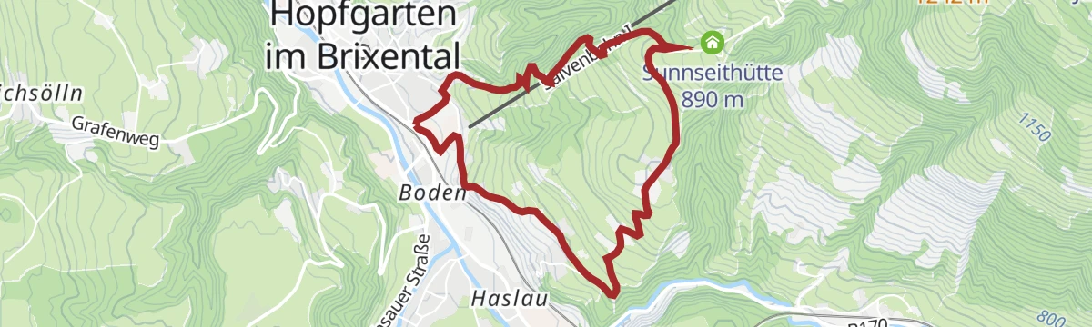
Große Salvenbergrunde
A long forest-road round above Hopfgarten, climbing past the Sunnseithütte to the Speichersee reservoir and the Kälbersalve Alm.
- 23.0 km
- Distance
- 1 144 m
- Ascent
- 3 h 11 min
- Duration
- 27
- Check-ins
19 - Kurzer und Langer Grund
A long road tour from Kufstein up to Hopfgarten and into the side valleys behind it, crossing the Wegscheid at 1,142 m.
- 83.0 km
- Distance
- 1 792 m
- Ascent
- 9 h 3 min
- Duration
- 33
- Check-ins
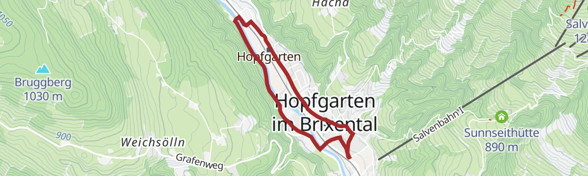
Fischteichrunde
Flat family loop from Hopfgarten out to the fish ponds and back, an easy stroller-suited round on the valley floor.
- 3.9 km
- Distance
- 50 m
- Ascent
- 1 h 2 min
- Duration
- 5
- Check-ins
 Touristinformation Hopfgarten 606 m
 Fischteich 586 m
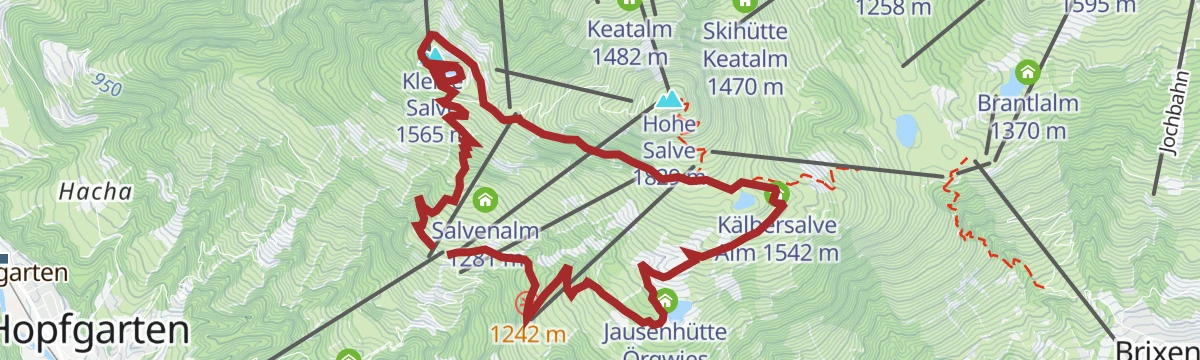
3 Seen Tour
Round over the Kleine Salve linking three mountain lakes, with hut stops from the Kälbersalve Alm to the Jausenhütte Örgwies along the way.
- 9.9 km
- Distance
- 534 m
- Ascent
- 3 h 49 min
- Duration
- 34
- Check-ins
Markkirchlrundweg
Circuit in the rear Kelchsau from Wegscheid via the Neue Bamberger Hütte and the Salzachjoch, passing a remote high-pasture chapel on the ridge.
- 14.1 km
- Distance
- 911 m
- Ascent
- 6 h 12 min
- Duration
- 35
- Check-ins
Salvenradrunde
A long, mostly flat circuit of the Hohe Salve on valley roads, linking Westendorf, Brixen im Thale and Ellmau at around 800 m.
- 62.4 km
- Distance
- 644 m
- Ascent
- 6 h 9 min
- Duration
- 23
- Check-ins
21,14 | Salvenradrunde
A long circuit of the Hohe Salve on cycle paths and valley roads, linking the Brixental with Ellmau on the Wilder Kaiser side.
- 53.9 km
- Distance
- 687 m
- Ascent
- 5 h 25 min
- Duration
- 32
- Check-ins
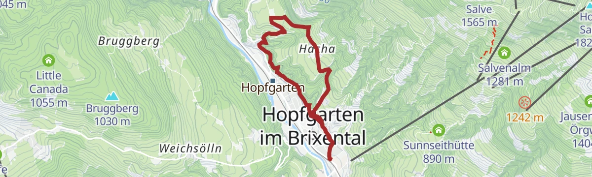
Badlwieden-Hachaweg
Easy loop from Hopfgarten combining shaded forest paths and open meadows on the low slopes above the Brixental.
- 5.5 km
- Distance
- 267 m
- Ascent
- 1 h 59 min
- Duration
- 4
- Check-ins
No routes of this kind in Hopfgarten im Brixental yet.
The region's own picks

Featured route
Markbachjoch - Roßkopf - Oberau
From the Markbachjoch lift station over the gentle grass summit of the Roßkopf and down past the Jausenstation Rosskopfhütte to Oberau — an easy half-day with steady Wildschönau views.
Planning a trip to Hopfgarten im Brixental?
Everything else Tyrol has, in one place


Take Hopfgarten im Brixental with you into the mountains
Every route on this page with 3D terrain, GPX navigation and offline maps — including the valleys with no signal.
Data sources
- Official website: kitzbueheler-alpen.com ↗
- Routes and highlights: Kitzbüheler Alpen Tourismus, Wildschönau Tourismus, Alpbachtal Tourismus, Wilder Kaiser Tourismus, Kufsteinerland, Kitzbühel Tourismus, Kaiserwinkl Tourismus
- Published as open data by the tourist boards named above.
- Region summary generated from the board's own material.
