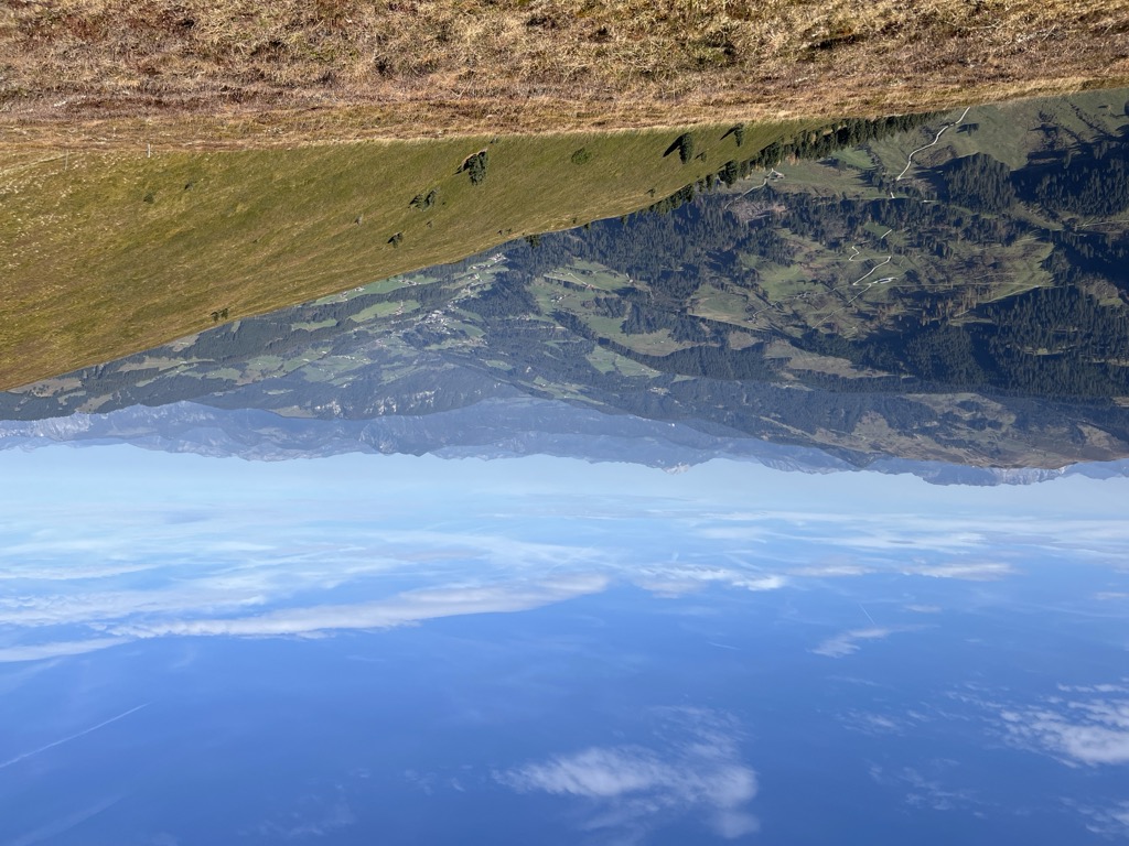
The Wildkarspitze is a mountain in the Austrian state of Tyrol in the Kitzbühel Alps. It is 1,961 metres (6,434 ft) high and lies on a crest running SSW-NNE between the valleys of the Wildschönauer Ache to the west and Kelchsauer Ache to the east, about 12 kilometres due south of Wörgl. Along the ridge to the north is the Breitteggern (1,981 m) and to the south the Breiteggspitze (1,868 m), also known as the Kleinberger Niederhorn.
The mountain may be ascended on an easy walk from the Schönangeralm at 1,173 m which is accessible by road. From the alm the path runs through the Breiteggalm and Kleinneubergalm to the summit of the Kleinberger Niederhorn. From there is it is about ½ hr to the Wildkarspitze. About 2½ hours should be allowed for the ascent. The descent may be made on the same route or via the slightly higher Breiteggern back to the Breiteggalm and down to the start. During the ascent, there are good views of the mountains to the west on the far side of the Wildschönauer Ache valley, especially the Lämpersberg and the Großer Beil.
There's a trail leading to the summit.
The nearest mountain hut is Schönangeralm located 1 620m/5 314ft W of the summit.
We use GPS information embedded into the photo when it is available.
3D mountains overlay
Adjust mountain panorama to perfectly match your photos because recorded by camera photo position might be imprecise.
Move tool
Rotate tool
Zoom
More customization
Choose which peak labels should make into the final photo and what photo title should be.
Next
Photo Location
Satellitte
Flat map
Relief map
Latitude
Longitude
Altitude
OR
Latitude
°'''
Longitude
°'''
Apply
Register Peak
Peak Name
Latitude
Longitude
Altitude
Register
Teleport
PeakVisor
This 3D model of Sagarmatha National Park in Nepal was made using the PeakVisor app topographic data. The mobile app features higher precision models worldwide, more topographic details, and works offline. Download PeakVisor maps today.
Download OBJ model
PeakVisor
The download should start shortly. If you find it useful please consider supporting the PeakVisor app.
PeakVisor for iOS and Android
Be a superhero of outdoor navigation with state-of-the-art 3D maps and mountain identification in the palm of your hand!