
 Historic site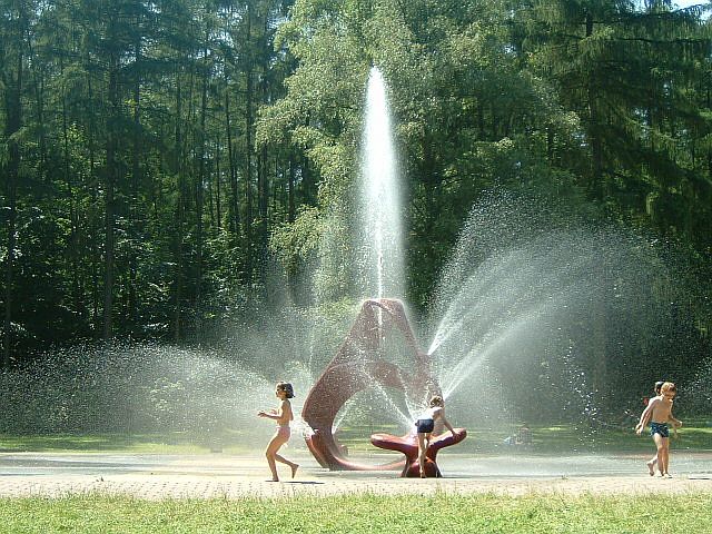
 Cable car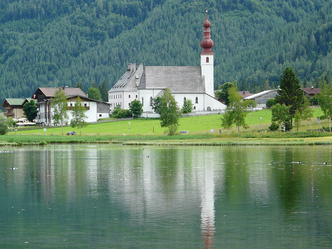















Curated by Kitzbüheler Alpen Tourismus
Hochfilzen
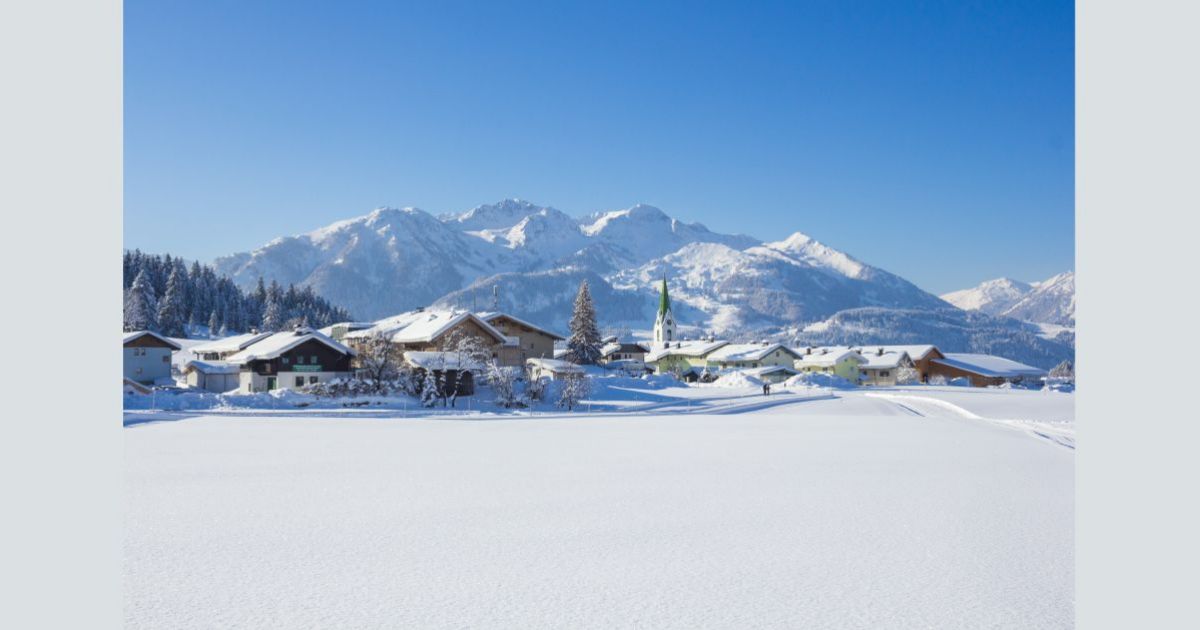
At 959 m on the saddle between the Pillerseetal and the Saalfelden basin, a village known internationally for its biathlon stadium and championships.
- 1Highlights
- 38Routes
- Featured summit · Buchensteinwand
Highlights
14 from neighbouring places
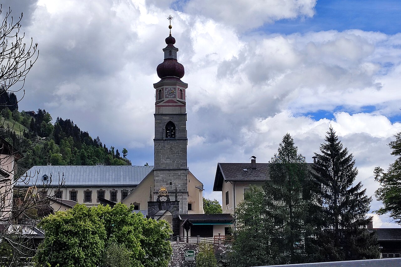
Pfarrkirche Maria Schnee
The parish church of Hochfilzen in the Pillersee region, dedicated to Our Lady of the Snows, a fitting patron for a village at 959 m.
Kinderspielplatz | Pfaffenschwendt
3.7 km away, in Fieberbrunn
A children's playground serving the Pfaffenschwendt hamlet of Fieberbrunn in the Pillersee region.
Bergbahnen Fieberbrunn
6.2 km away, in Fieberbrunn
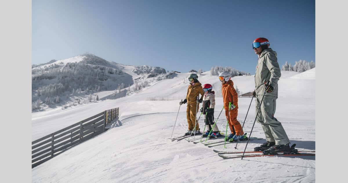
The lift company serving Fieberbrunn in the Pillerseetal, whose gondolas connect the village to the Saalbach-Hinterglemm ski circuit and to summer walking terrain.
Kinderspielplatz | Kindergarten Fieberbrunn
6.9 km away, in Fieberbrunn
A playground at the kindergarten in Fieberbrunn, also usable as a play area for visiting families.
Pfarrkirche St. Ulrich am Pillersee
7.5 km away, in St. Ulrich am Pillersee
The parish church of St. Ulrich am Pillersee, a village church of medieval origin standing near the lake that names the place.
MEC Modelleisenbahnclub Fieberbrunn
8.5 km away, in Fieberbrunn
A model railway club in Fieberbrunn whose members show detailed layouts to visitors in the Pillerseetal village.
Funball
9.4 km away, in St. Ulrich am Pillersee
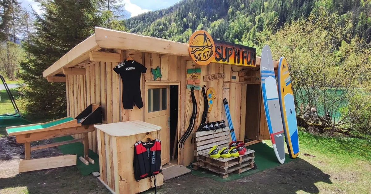
A water-play station at the bathing lake in St. Ulrich am Pillersee, with water balls and paddle sports on offer in summer.
Teufelsklamm
10.3 km away, in St. Ulrich am Pillersee
A small gorge near St. Ulrich am Pillersee whose name means devil's gorge, explored on a short path through the rocky defile.
Erlebnispark Familienland Pillersee
6.3 km away, in St. Jakob in Haus
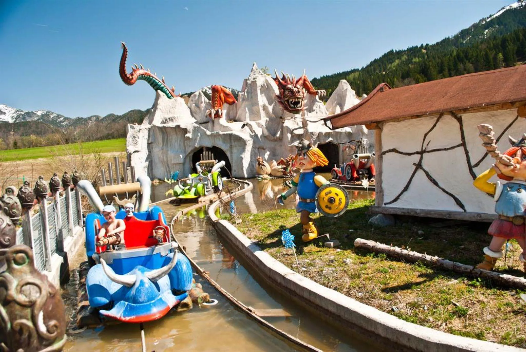
A family amusement park at St. Jakob in Haus in the Pillerseetal, with rides, water features and play areas near the Pillersee.
Spielberghaus
6.6 km away, in Saalbach-Hinterglemm
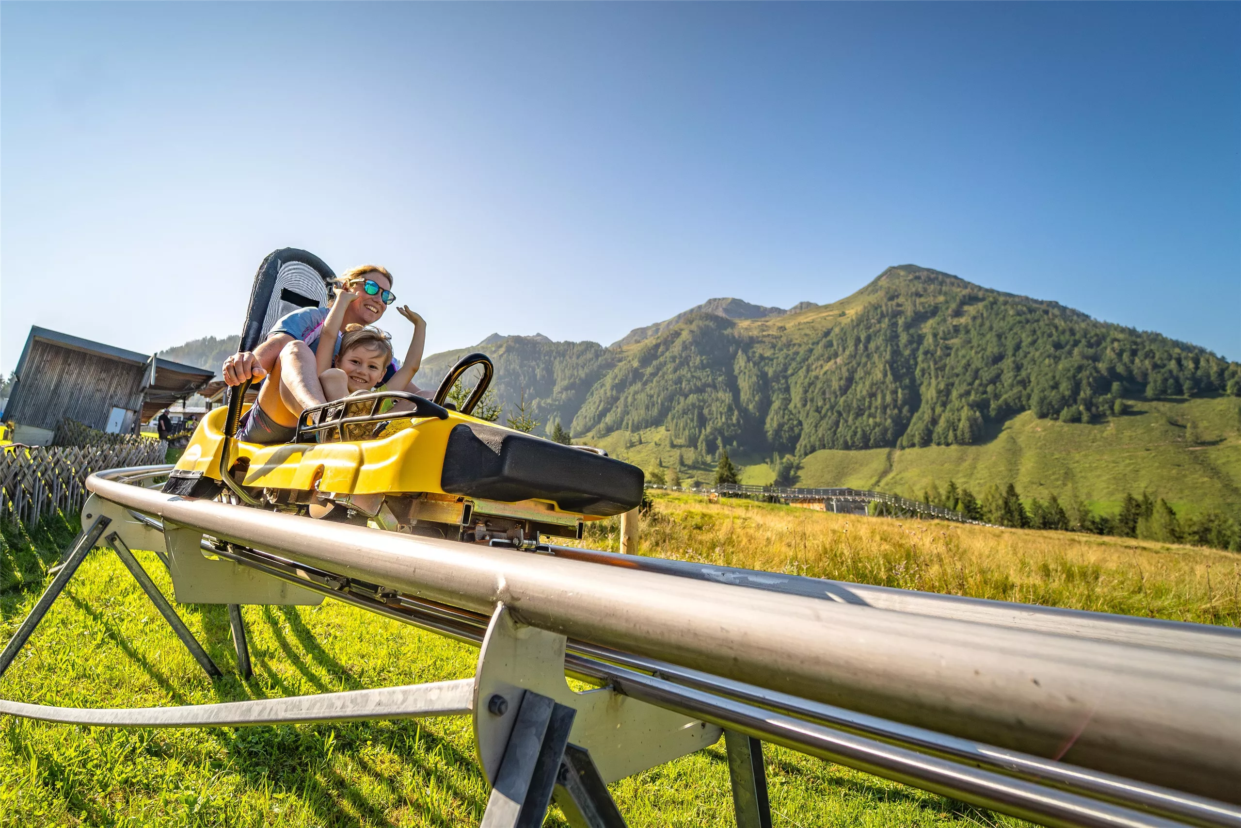
A mountain inn on the Spielberg in the Kitzbüheler Alpen, reached on foot or by bike in summer and known for its winter toboggan run.
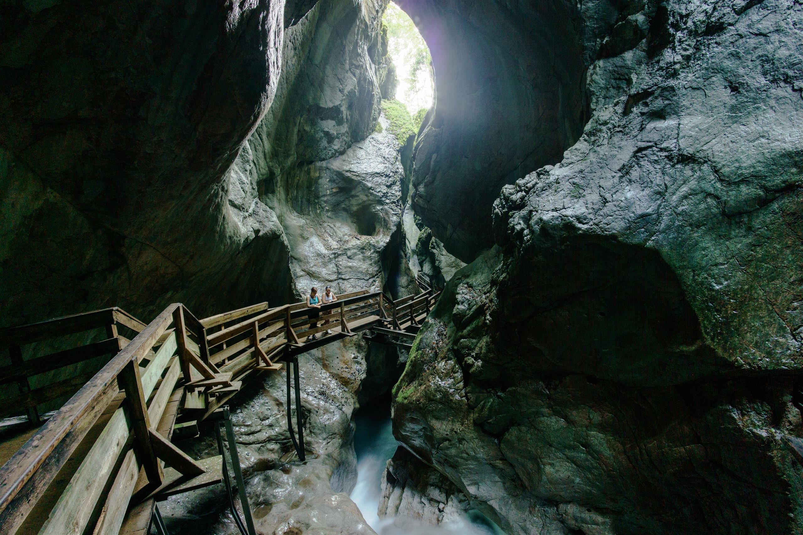
Naturdenkmal Seisenbergklamm
10.8 km away, in Weißbach bei Lofer
A protected gorge at Weißbach bei Lofer, where wooden walkways follow the Weißbach stream through a deep, water-carved rock passage.
Zweite Dimension
11.1 km away, in Weißbach bei Lofer
A sport climbing crag known as the Second Dimension, one of the climbing sites in the eastern part of the Kitzbüheler Alpen region.
Ruine am Paß Strub
11.7 km away, in Lofer
Remains of old defensive works at the Pass Strub near Waidring, a border crossing fought over in the Napoleonic period.
Bergbahn Steinplatte Waidring
13.3 km away, in Waidring
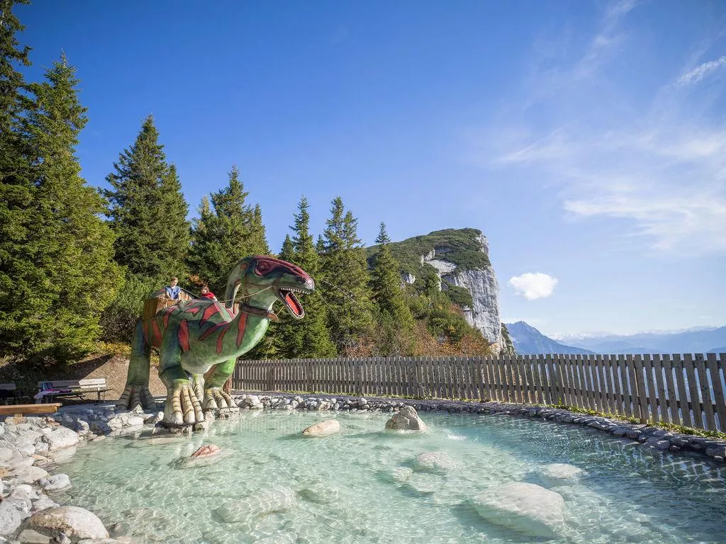
The lift from Waidring up to the Steinplatte plateau near the Tirol-Salzburg-Bavaria border, giving access to the Triassic Park and the plateau's walking trails.
Bergbahnen Steinplatte
13.3 km away, in Waidring
The lifts from Waidring at 777 m onto the Steinplatte, serving a ski area shared with Bavaria in winter and the Triassic Park in summer.
Nothing of this kind in Hochfilzen.
Routes
Panorama-/Blumenweg Buchensteinwand
Level summit loop on the Buchensteinwand, circling near the Jakobskreuz summit cross with Pillersee valley views and flower plantings.
- 576 m
- Distance
- 16 m
- Ascent
- 10 min
- Duration
- 32
- Check-ins
Überquerung Buchensteinwand
Traverse of the Buchensteinwand from Hochfilzen, climbing past the Hoametzl Hütte to the Jakobskreuz summit cross and descending by the Kammberg alms.
- 9.8 km
- Distance
- 510 m
- Ascent
- 3 h 41 min
- Duration
- 37
- Check-ins
Wander-WM 2026 | Donnerstag Warmingberg - Kammberg | lang
Long Thursday course of the 2026 Wander-WM, a full-day circuit from Hochfilzen over the Warmingberg and along the Kammberg alms past Pass Grießen.
- 20.9 km
- Distance
- 791 m
- Ascent
- 6 h 52 min
- Duration
- 4
- Check-ins
Pistentour Buchensteinwand Route 3 Hoametzl Aufstieg
A marked ascent from Hochfilzen up the Buchensteinwand's slopes past the Kantalm, topping out near the Jakobskreuz, the walk-in summit cross with its viewing platforms.
- 2.8 km
- Distance
- 495 m
- Ascent
- 495 m
- Descent
- 1 h 38 min
- Duration
- 35
- Check-ins
Hoametzl Runde 2015
A short forest-road climb above Hochfilzen to the Hoametzl Hütte and the Kantalm, both at around 1,160 m.
- 12.0 km
- Distance
- 508 m
- Ascent
- 1 h 33 min
- Duration
- 3
- Check-ins
Hochfilzen - Leogang - Schwarzleo
A long forest-road tour on the Salzburg-Tirol border, passing the Griessensee and the Seealm and returning below the Asitz and Steinberg lifts.
- 45.7 km
- Distance
- 1 447 m
- Ascent
- 5 h 25 min
- Duration
- 11
- Check-ins
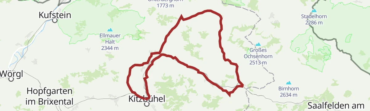
3. Etappe KAT Bike Sport+
The third stage of a multi-day traverse of the Kitzbühel Alps, close to 3,000 m of climbing over the Wildalpgatterl, Lärchfilzhochalm and Stanglalm.
- 106.7 km
- Distance
- 2 992 m
- Ascent
- 12 h 18 min
- Duration
- 81
- Check-ins
Grießner Hochmoor
A short, level nature loop through the protected high moor near Pass Grießen at Hochfilzen, with the Seealm at hand for refreshment afterwards.
- 1.4 km
- Distance
- 21 m
- Ascent
- 22 min
- Duration
- 1
- Check-ins
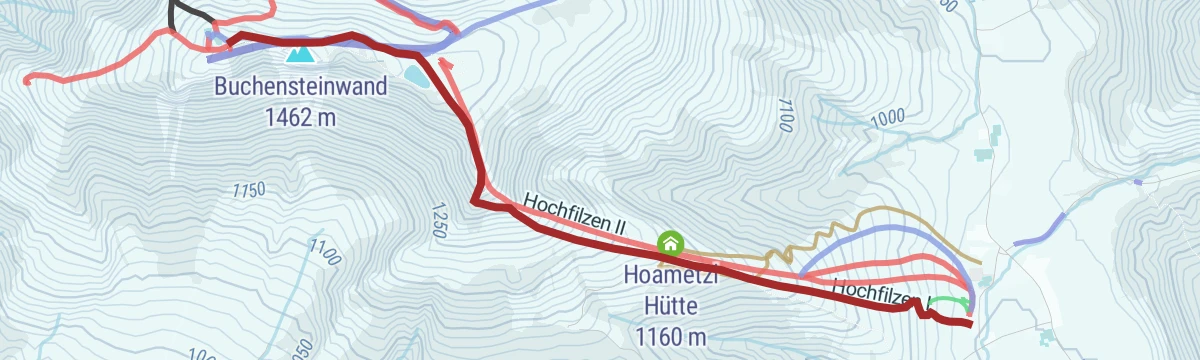
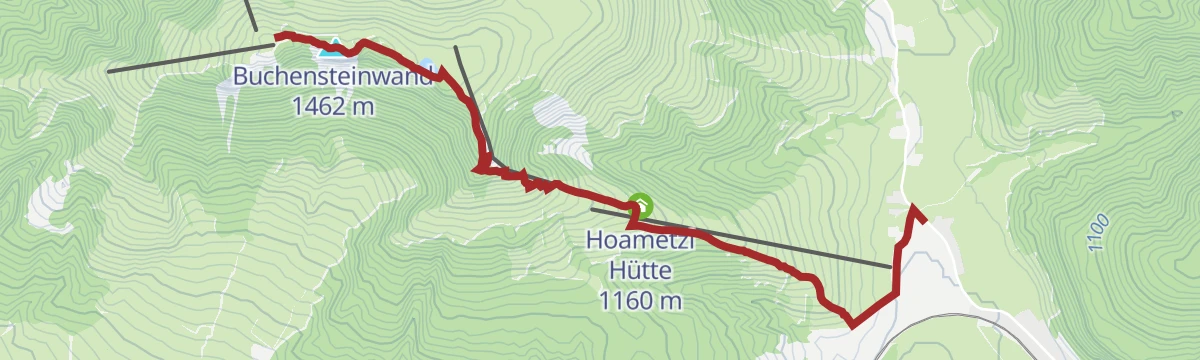
Hochfilzen - Hoametzl Hütte - Buchensteinwand
Direct ascent from Hochfilzen past a snowmaking pond and the Hoametzl Hütte to the Jakobskreuz, the walk-in summit cross above the Pillerseetal.
- 3.5 km
- Distance
- 499 m
- Ascent
- 2 h 54 min
- Duration
- 35
- Check-ins
Wander-WM 2026 | Samstag Flecken | lang
Long marked course laid out for the 2026 Hiking World Championships at St. Ulrich, climbing via the Hoametzl Hütte and Kantalm on a 22 km round.
- 22.0 km
- Distance
- 784 m
- Ascent
- 7 h 6 min
- Duration
- 3
- Check-ins
Pistentour Buchensteinwand Route 1 Panorama Aufstieg
From the Bergbahn Pillersee valley station in St. Jakob in Haus, a marked skin up the Buchensteinwand's groomed flank to the Jakobskreuz, the walk-in summit cross with viewing platforms.
- 4.4 km
- Distance
- 585 m
- Ascent
- 585 m
- Descent
- 2 h 4 min
- Duration
- 33
- Check-ins
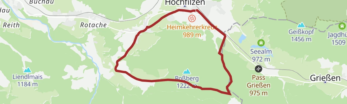
286 | Griessener Almen Rundkurs
A forest-road circuit from Hochfilzen by the Pass Grießen, climbing to the Tödlingalm at 1,400 m before the run back.
- 16.5 km
- Distance
- 608 m
- Ascent
- 2 h 2 min
- Duration
11 Rund um das Kitzbüheler Horn
A long road circuit right around the Horn, from the Glemmtal over the Pass Thurn and back through Kitzbühel on the way home.
- 115.9 km
- Distance
- 1 673 m
- Ascent
- 11 h 51 min
- Duration
- 56
- Check-ins
Wander-WM 2026 | Donnerstag Schipflalm | kurz
Short Thursday course of the 2026 Wander-WM in Hochfilzen, rolling past the biathlon arena at Kohlstatt and the Pass Grießen watershed.
- 5.0 km
- Distance
- 82 m
- Ascent
- 1 h 22 min
- Duration
Bergbahn Pillersee - Fleckenermähder - Buchensteinwand
Direct climb from the Pillersee valley station across the Fleckenermähder meadows to the Buchensteinwand and the Jakobskreuz on top.
- 5.3 km
- Distance
- 592 m
- Ascent
- 3 h 34 min
- Duration
- 33
- Check-ins
Grießner Hochbrett
Demanding climb from Hochfilzen into the Leoganger Steinberge, gaining over 1,500 m via the Grießner Rotschartl and collecting several rocky tops along the way.
- 7.7 km
- Distance
- 1 571 m
- Ascent
- 8 h 44 min
- Duration
- 2
- Check-ins
Grießner Almen Runde 286
A waymarked round on the alm roads above Hochfilzen, with the Tödlingalm the high point and the Grießen saddle on the way.
- 16.3 km
- Distance
- 612 m
- Ascent
- 2 h 1 min
- Duration
Pillerseerunde
A big road loop over Pass Grießen and Pass Strub, passing the Lamprechtshöhle in the Saalach valley and a lakeside stop at Blattl.
- 100.0 km
- Distance
- 1 191 m
- Ascent
- 9 h 59 min
- Duration
- 21
- Check-ins
Wander-WM 2026 | Freitag Feistenau | kurz
Short Friday course of the 2026 Wander-WM, an easy valley loop through the Feistenau meadows outside Hochfilzen.
- 4.8 km
- Distance
- 73 m
- Ascent
- 1 h 18 min
- Duration
Wander-WM 2026 | Donnerstag Kammberg | mittel
Middle-distance Thursday course of the 2026 Wander-WM, climbing from Hochfilzen to the Hoametzl Hütte and along the Kammberg pastures to the Kantalm.
- 12.0 km
- Distance
- 417 m
- Ascent
- 3 h 50 min
- Duration
- 4
- Check-ins
Gästehaus Elisabeth - Buchensteinwandrunde
Long circuit around the Buchensteinwand from St. Jakob in Haus, passing the Wiesensee — over 20 km, yet never steep.
- 20.7 km
- Distance
- 545 m
- Ascent
- 6 h 12 min
- Duration
- 2
- Check-ins
3 Pillersee-Runde
A long road day linking St. Johann in Tirol with Fieberbrunn and Kitzbühel, taking in the Seerestaurant Blattl on the lakeshore.
- 78.4 km
- Distance
- 988 m
- Ascent
- 7 h 53 min
- Duration
- 17
- Check-ins
Wander-WM 2026 | Samstag Tour-Rast | kurz
Short Saturday course of the 2026 Wander-WM, a gentle loop on valley paths around Hochfilzen with barely any climbing.
- 5.5 km
- Distance
- 102 m
- Ascent
- 1 h 32 min
- Duration
Biathlon WM Pfad Hochfilzen
Themed loop around Hochfilzen's biathlon world-championship venue, with info stops on the sport and a climb to the Hoametzl Hütte and Kantalm.
- 19.0 km
- Distance
- 471 m
- Ascent
- 5 h 37 min
- Duration
- 3
- Check-ins
Rundweg Buchensteinwand
Full circuit of the Buchensteinwand massif from St. Jakob in Haus via the Wiesensee — long in distance but gentle in gradient.
- 19.9 km
- Distance
- 474 m
- Ascent
- 5 h 49 min
- Duration
- 2
- Check-ins
Pillerseetal-Runde Gravel
A longer gravel circuit of the whole Pillerseetal, taking in the Wiesensee and Fieberbrunn.
- 50.9 km
- Distance
- 676 m
- Ascent
- 5 h 9 min
- Duration
- 9
- Check-ins
 Tourismusverband Pillerseetal 777 m
- Infobüro Fieberbrunn 774 m
 Fischteich 835 m
- Wiesensee 930 m
- Fischteich 835 m
- Moserbauer 754 m
- +2
Weitentalweg
Easy walk through the Weitental near Hochfilzen toward Pass Grießen, on the gentle watershed between Tirol and Salzburg.
- 6.5 km
- Distance
- 158 m
- Ascent
- 1 h 55 min
- Duration
Hochfilzen - Römer Sattel - Vorderkaser
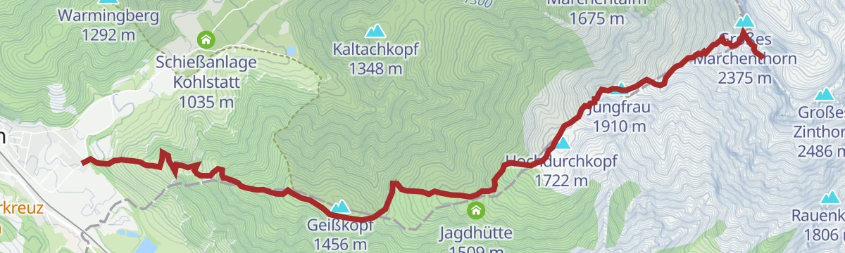
Point-to-point walk from Hochfilzen over the gentle Römersattel to the Jausenstation Vorderkaser near Sankt Martin bei Lofer, passing the Kohlstatt shooting range early on.
- 12.6 km
- Distance
- 270 m
- Ascent
- 3 h 38 min
- Duration
- 1
- Check-ins
Wander-WM 2026 | Freitag Pulvermacher Almhütte | lang
Long Friday course of the 2026 Wander-WM hiking event, running deep into the Hörndlinger Graben to the Pulvermacherscherm and back to Fieberbrunn.
- 19.1 km
- Distance
- 459 m
- Ascent
- 5 h 37 min
- Duration
- 1
- Check-ins
17 | Radrunde Buchensteinwand
A road tour from St. Jakob in Haus around the mountain, taking in the Wiesensee and the climbing crags at about 950 m.
- 19.4 km
- Distance
- 405 m
- Ascent
- 2 h 6 min
- Duration
- 2
- Check-ins
Warminger Höhenweg
High path over the Warming slopes above Hochfilzen, dropping past the reedy Wiesensee on the St. Ulrich side of the hill.
- 7.1 km
- Distance
- 495 m
- Ascent
- 3 h 18 min
- Duration
- 1
- Check-ins
Buchensteinwandrunde Nr. 17
A cycling circuit through the Pillerseetal from St. Jakob in Haus, going by the Wiesensee and the climbing garden above the road.
- 24.2 km
- Distance
- 518 m
- Ascent
- 2 h 38 min
- Duration
- 2
- Check-ins
Eggerbergweg
Moderate loop over the Eggerberg slopes near Hochfilzen, combining forest tracks with open stretches around Pass Grießen.
- 8.8 km
- Distance
- 344 m
- Ascent
- 2 h 54 min
- Duration
Panoramaradweg Kitzbüheler Alpen Nr. 49
A cycle route east from Fieberbrunn over the Pass Grießen at 975 m to Hochfilzen, with a steady rise along the valley.
- 18.2 km
- Distance
- 389 m
- Ascent
- 1 h 59 min
- Duration
- 2
- Check-ins
Kirchl
Short, punishingly steep climb above Hochfilzen, gaining over 700 m in under 3 km to a rocky lookout perch.
- 2.9 km
- Distance
- 726 m
- Ascent
- 3 h 57 min
- Duration
Palfenweg / IVV Wanderweg
Marked IVV route from Hochfilzen climbing steadily onto the Warmingberg, a grassy top with views over the Pillerseetal and the Steinberge ranges.
- 10.5 km
- Distance
- 508 m
- Ascent
- 3 h 45 min
- Duration
Wander-WM 2026 | Freitag Eiserne Hand | mittel
Middle-distance Friday course of the 2026 Wander-WM, looping from Hochfilzen toward the Eiserne Hand saddle on rolling valley terrain.
- 9.8 km
- Distance
- 188 m
- Ascent
- 2 h 46 min
- Duration
Wander-WM 2026 | Samstag Pfaffenschwendt | mittel
Middle-distance Saturday course of the 2026 Wander-WM, circling through the Pfaffenschwendt hamlet hills between Hochfilzen and Fieberbrunn.
- 10.2 km
- Distance
- 338 m
- Ascent
- 3 h 14 min
- Duration
No routes of this kind in Hochfilzen yet.
The region's own picks

Featured route
Panorama-/Blumenweg Buchensteinwand
Level summit loop on the Buchensteinwand, circling near the Jakobskreuz summit cross with Pillersee valley views and flower plantings.
Planning a trip to Hochfilzen?
Everything else Tyrol has, in one place


Take Hochfilzen with you into the mountains
Every route on this page with 3D terrain, GPX navigation and offline maps — including the valleys with no signal.
Data sources
- Official website: kitzbueheler-alpen.com ↗
- Routes and highlights: Kitzbüheler Alpen Tourismus, Kitzbühel Tourismus, Wilder Kaiser Tourismus, Hochkönig Tourismus, Zell am See-Kaprun Tourismus
- Published as open data by the tourist boards named above.
- Region summary generated from the board's own material.
