
 Via ferrata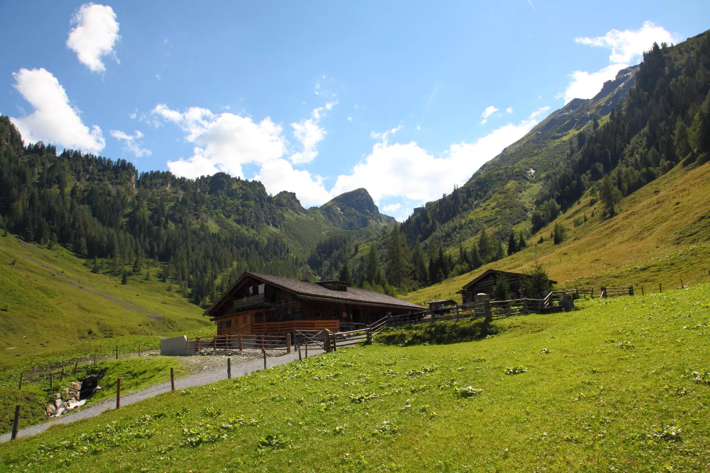











Curated by Großarltal Tourismus
Großarl
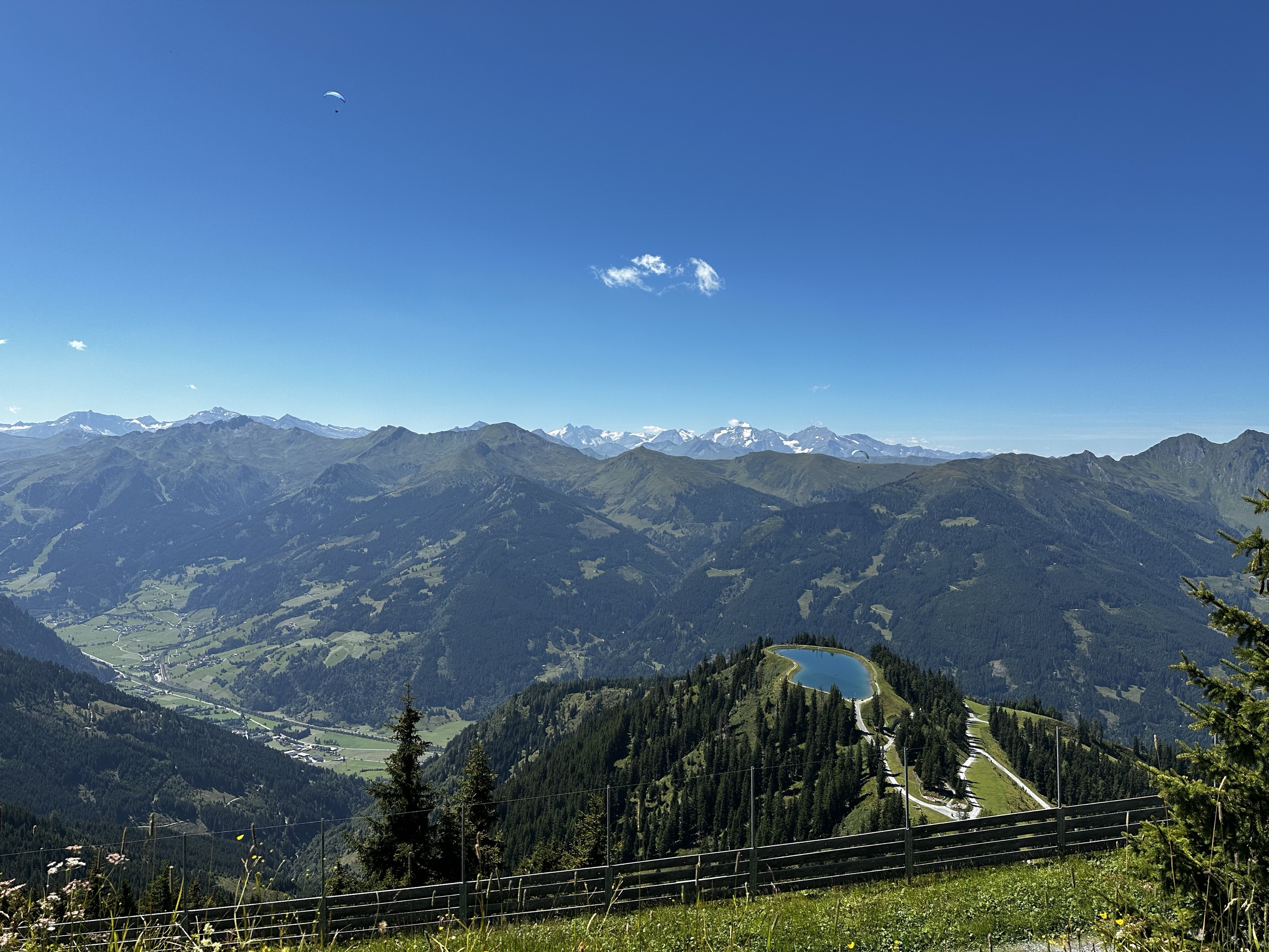
Market village at the mouth of the Großarltal running deep into the Tauern, a valley so rich in working alm pastures that it is known as the Tal der Almen.
Photo: Hasdrubal54 licence
- 45Highlights
- 127Routes
- Featured summit · Fulseck
Highlights
The 20 highest-rated · see the rest on grossarltal.info ↗
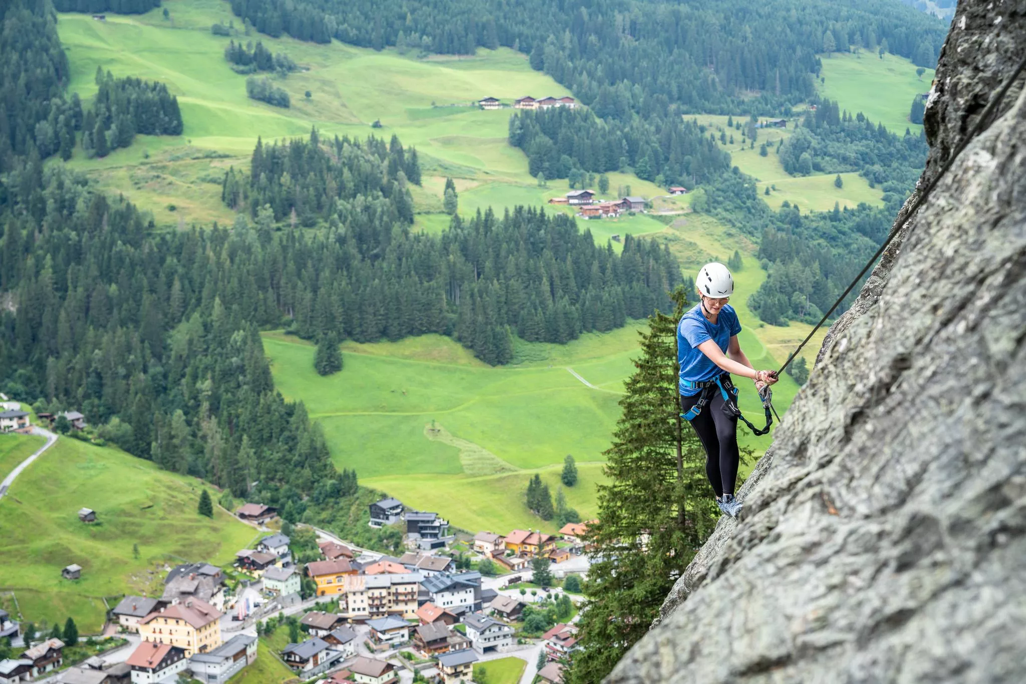
Klettersteig Gletschergoaß
A secured climbing route near Großarl (894 m), one of several via ferratas maintained on the rock walls around the village.
Aigenalm-Mandlhütte, 1.342 m
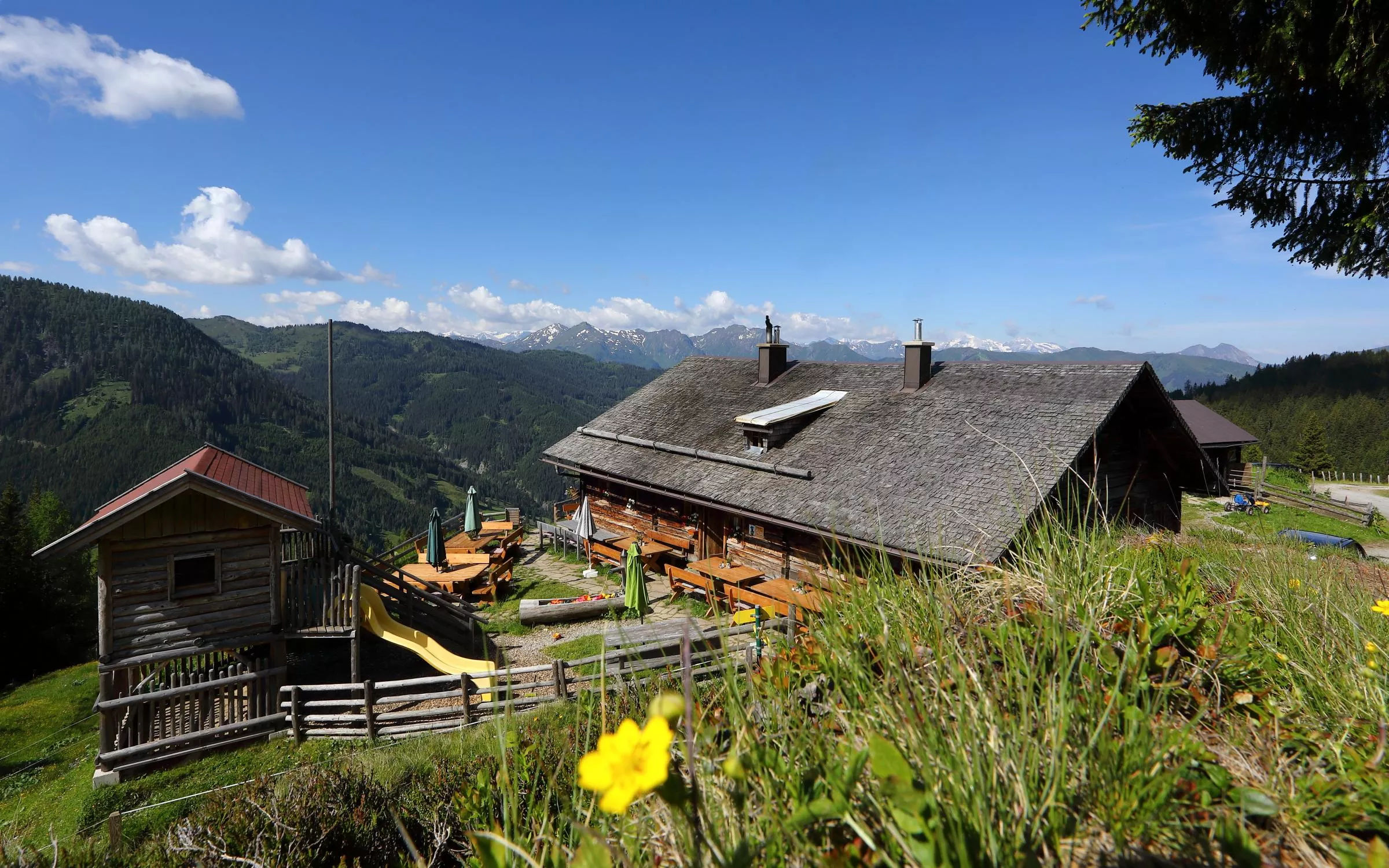
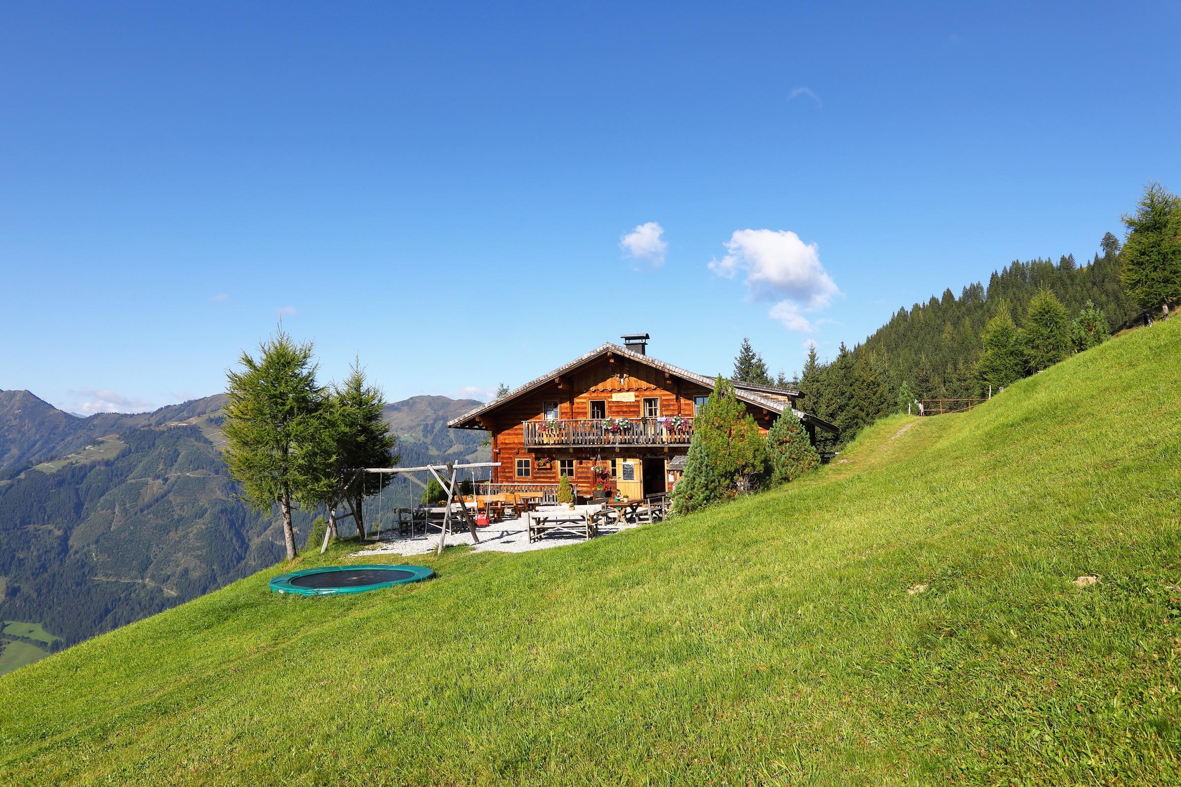
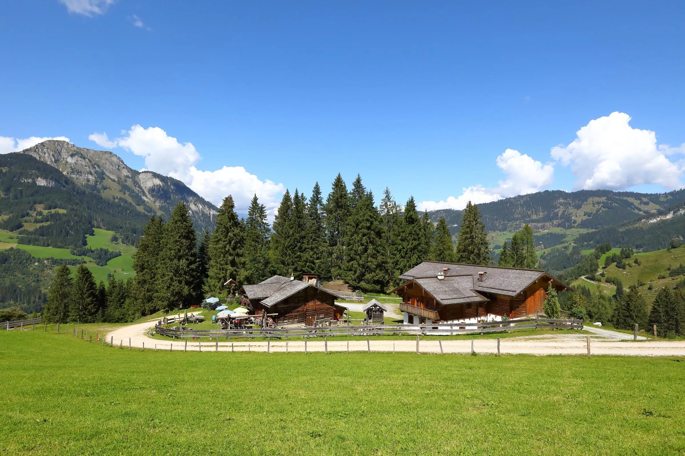
A pasture hut at 1,342 m on the Aigenalm above Großarl, serving snacks to walkers and mountain bikers in summer.
Aigenalm-Paulhütte, 1.280m
One of the Aigenalm huts, at 1,280 m above Großarl, a summer snack station on the valley's network of alm walks.
Aualm, 1.795 m
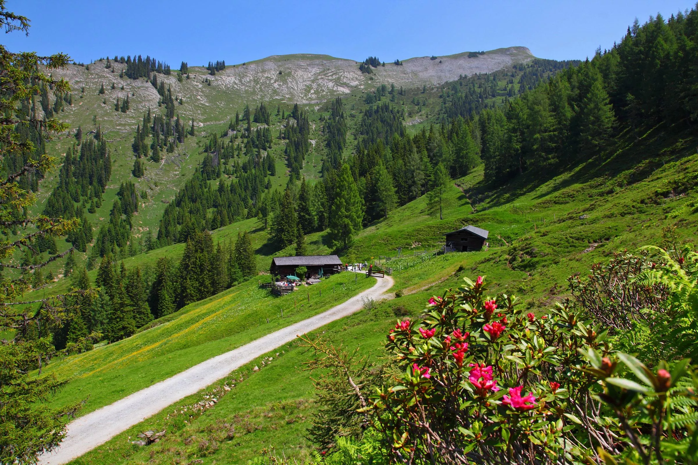
A high pasture hut at 1,795 m above Großarl, a hut stop for walkers and mountain bikers in the valley of alms.
Bachalm, 1.535 m
A pasture hut at 1,535 m above Großarl, reached on foot or by bike on the valley's alm tracks.
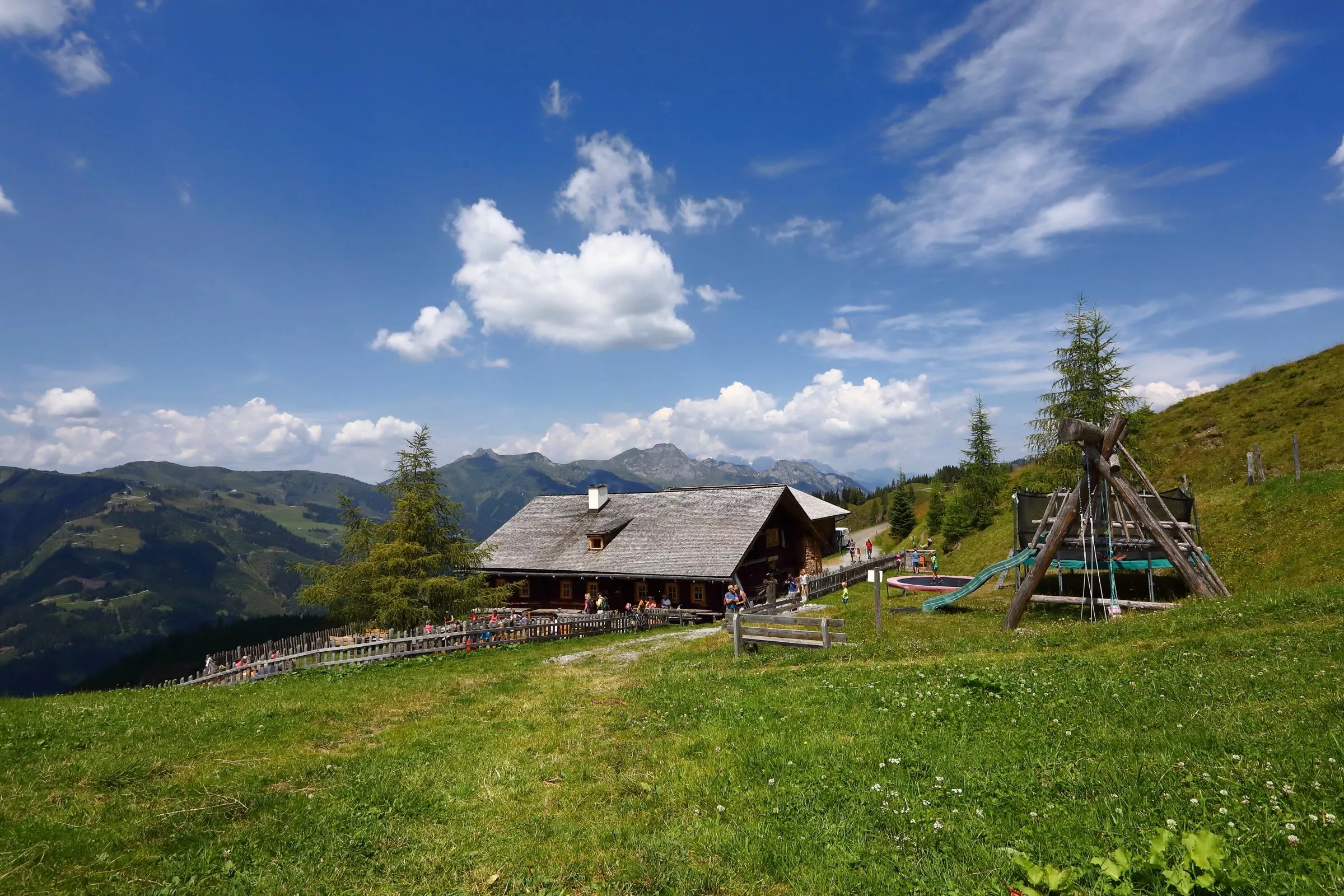
Berggasthof Loosbühelalm
A mountain inn on the Loosbühelalm at 1,769 m above Großarl, serving home cooking to walkers and bikers.
Bichlalm, 1.731 m
A pasture hut at 1,731 m above Großarl, one of the roughly 40 managed alms that give the Großarltal its name as the valley of alms.
Breitenebenalm 1.420 m
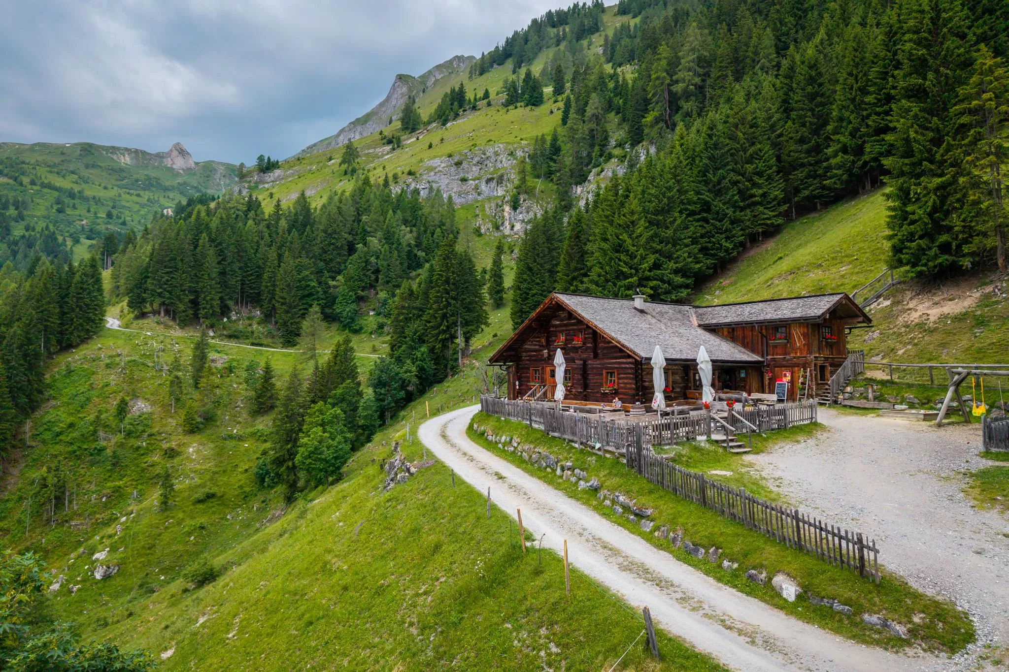
A pasture hut at 1,420 m above Großarl, offering simple overnight quarters and farm cooking during the alm summer.
Ellmaualm, 1.794 m
A pasture hut at 1,794 m above Großarl with snacks and simple beds, a stop on the higher walks of the Großarltal.
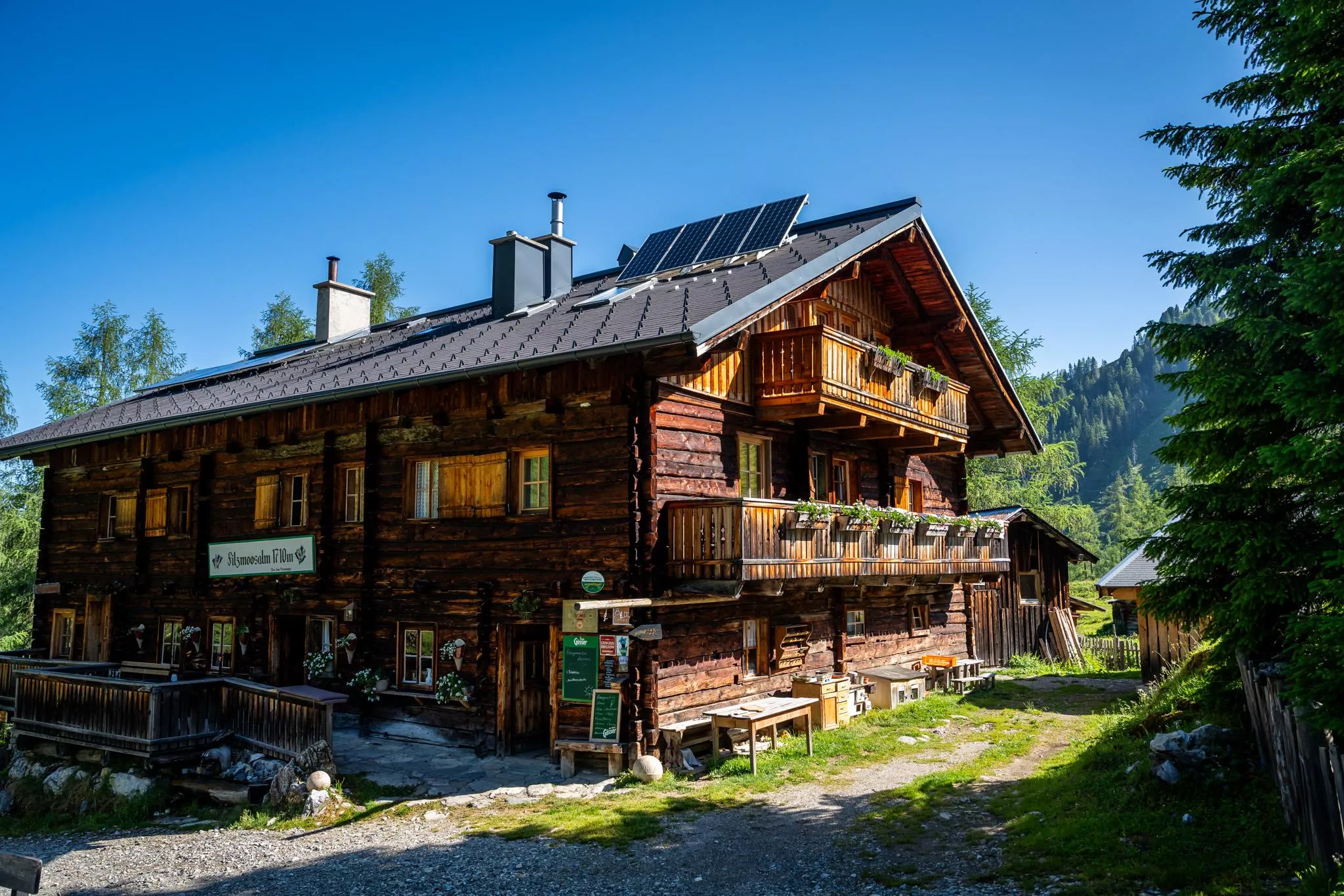
Filzmoosalm, 1.710 m
A managed alm at 1,710 m above Großarl serving farm snacks, with sleeping places for walkers crossing the surrounding ridges.
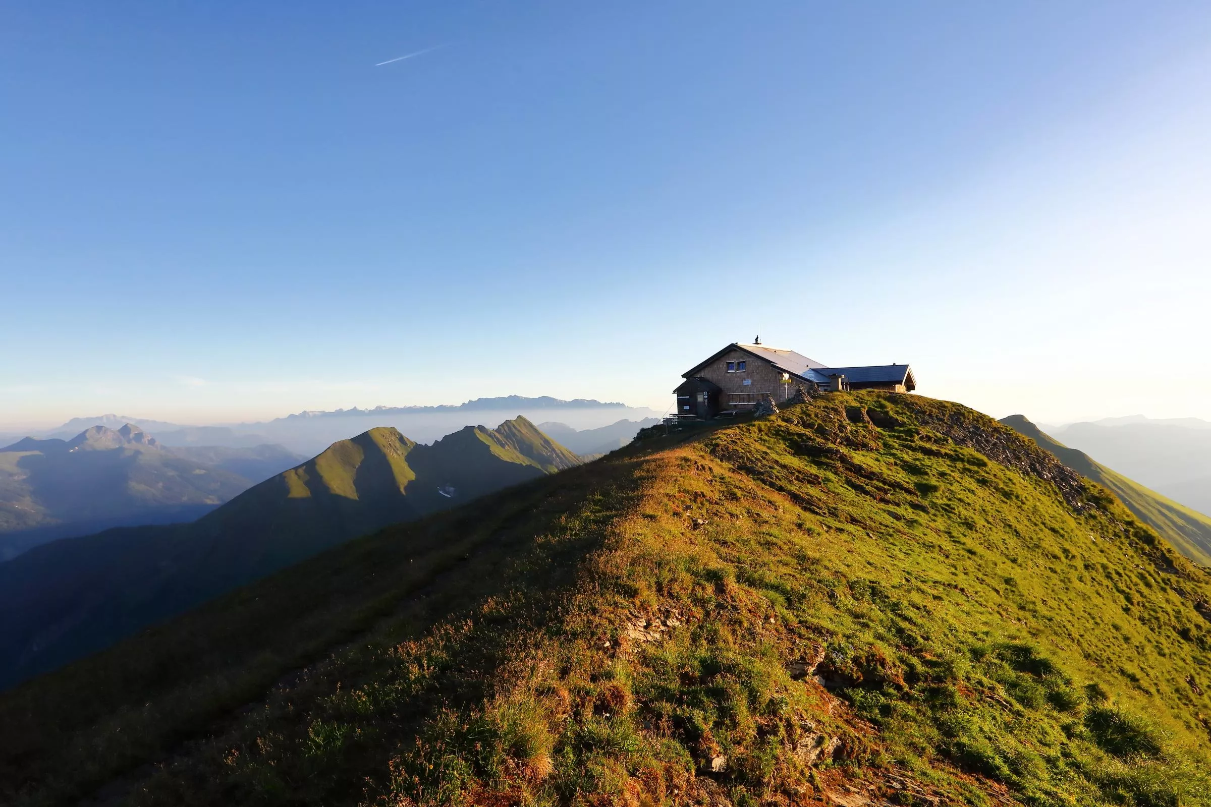
Gamskarkogelhütte, 2.465 m
A summit hut at 2,465 m on the Gamskarkogel between the Gastein and Großarl valleys, with basic beds and wide views along the Tauern.
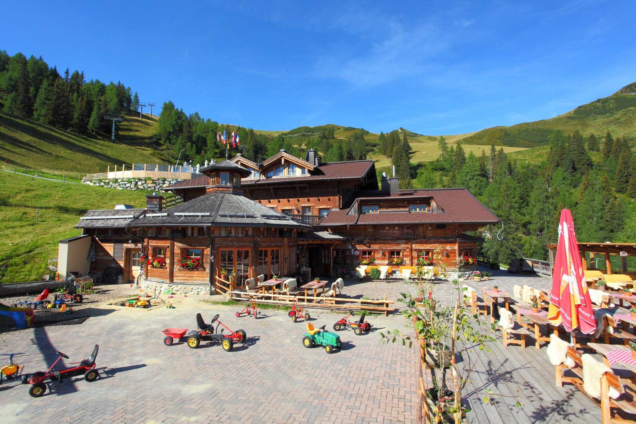
Gehwolfalm, 1.675 m
A pasture hut at 1,675 m above Großarl with snacks and simple overnight quarters, a family-friendly alm stop.
Gerstreitalm, 1.575 m
A managed alm at 1,575 m above Großarl serving farm snacks, reachable on foot or by mountain bike.
Großwildalm, 1.778 m
A pasture hut at 1,778 m above Großarl, a snack stop on the alm paths and bike tracks of the upper valley.
Harbachalm, 1.612 m
A managed alm at 1,612 m above Großarl, serving farm snacks to walkers and bikers in the grazing season.
Harbachhütte, 1.683 m
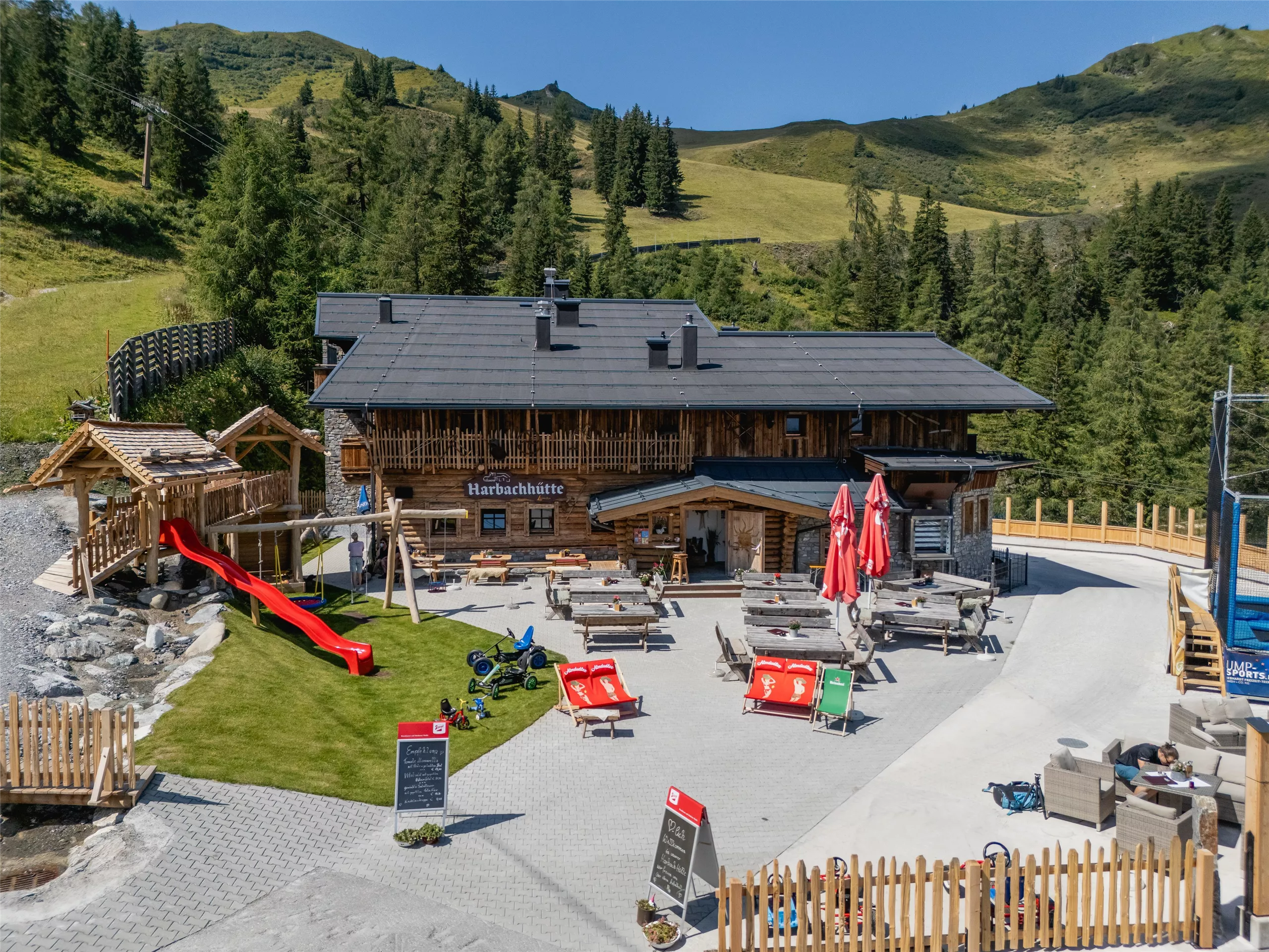
A small alm hut at 1,683 m above Großarl, an unassuming snack station on the valley's network of pasture walks.
Heugathalm, 1.235 m
A low-lying alm at 1,235 m above Großarl, an easy walking or biking destination with snacks for families.
Karseggalm, 1.603 m
A pasture hut at 1,603 m above Großarl, a snack stop for walkers and mountain bikers in the valley of alms.
Laireiteralm, 1.840 m
A high pasture hut at 1,840 m above Großarl, a Bauernherbst host serving farm snacks through the alm season.
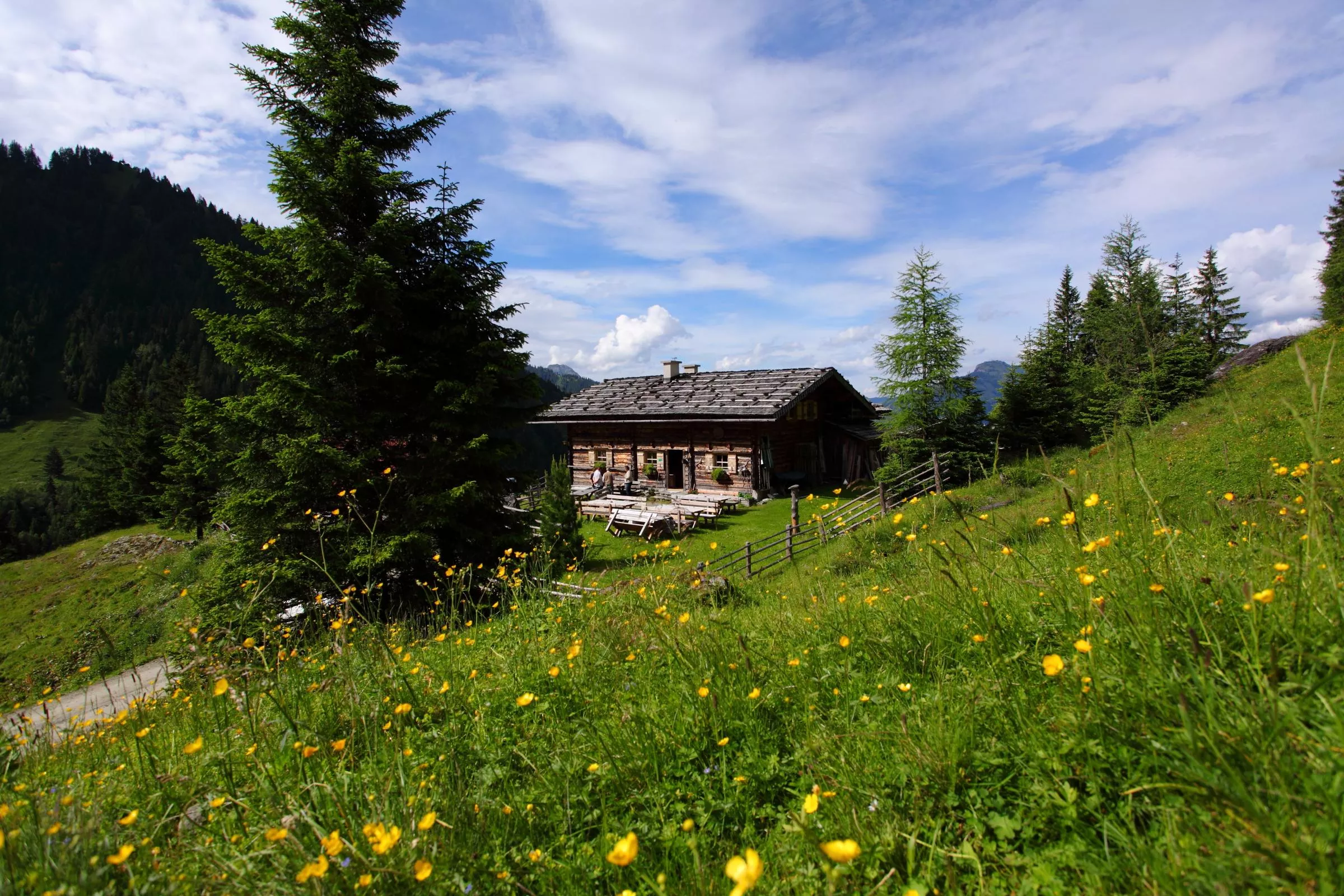
Mooslehenalm, 1.449 m
A pasture hut at 1,449 m above Großarl with snacks and simple overnight places, reached on the valley's alm paths.
Nothing of this kind in Großarl.
Routes
50 routes, an even mix of activities · see the rest on grossarltal.info ↗
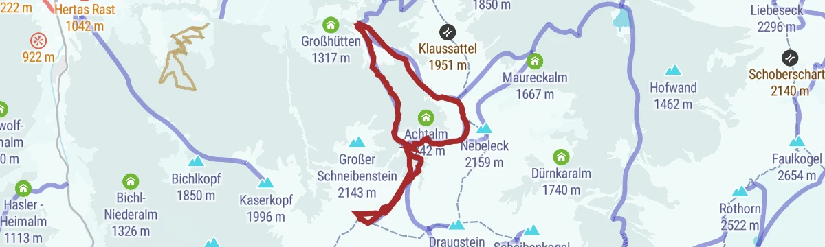
Großarl: Bella Cascinaia
A sport via ferrata above the Saukaralm that finishes on the Saukarkopf, with a little over 200 m of climbing.
- 1.5 km
- Distance
- 210 m
- Ascent
- 1 h 32 min
- Duration
- 6
- Check-ins
Großarl: Himmelsroute
A lift-assisted ridge walk from the Kieserl top station over the Fulseck and the Kreuzkogel, ending at the Panoramabahn station.
- 5.4 km
- Distance
- 247 m
- Ascent
- 2 h 4 min
- Duration
- 140
- Check-ins
Großarl: Kreuzkogel - Arltörl - Schuhflicker - Aualm
A ridge walk from the Panoramabahn top station over the Kreuzkogel and the Arltörl to the Schuhflicker, finishing at the Aualm.
- 8.9 km
- Distance
- 657 m
- Ascent
- 4 h 24 min
- Duration
- 179
- Check-ins
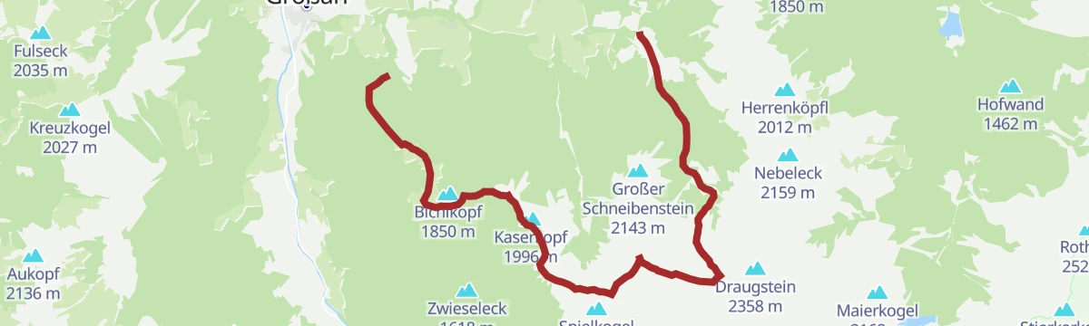
Großarltal: 3-Tages-Wanderung über den Tappenkarsee ins Ellmautal
Three-day crossing past the Tappenkarsee and over the Draugsteintörl into the Ellmautal, with the Tappenkarseehütte and Loosbühelalm as stops.
- 29.5 km
- Distance
- 1 755 m
- Ascent
- 12 h 57 min
- Duration
- 109
- Check-ins
Großarl: Penkkopf, 2.011 m
A 790 m ski tour by way of the Breitenebenalm to the 2,011 m Penkkopf, sheltered enough to be worth doing in poor weather.
- 10.1 km
- Distance
- 763 m
- Ascent
- 762 m
- Descent
- 3 h 28 min
- Duration
- 22
- Check-ins
Großarltal: Gamskarkogel, 2.467 m
A 1,230 m ski ascent through the Tofernalmen to the Gamskarkogel, reckoned the highest grass mountain in Europe, with a hut just under the top.
- 14.2 km
- Distance
- 1 487 m
- Ascent
- 1 374 m
- Descent
- 5 h 34 min
- Duration
- 29
- Check-ins
Bikeschaukel Großarltal - Dorfgastein
A high crossing from Großarl over the Fulseck and Kreuzkogel to the Gastein side, past the Gipfelstadl at 2,026 m and the Laireiter Alm.
- 10.4 km
- Distance
- 716 m
- Ascent
- 1 h 49 min
- Duration
- 109
- Check-ins
Großarler Almenrunde
A big day on the alm roads of the valley, stringing together the Saukaralm, the Großwildalm and the Muggenfeldalm with 1,700 m of climbing.
- 35.8 km
- Distance
- 1 681 m
- Ascent
- 4 h 46 min
- Duration
- 25
- Check-ins
Großarltal: Talwander- und Radweg
A shared walking and cycling path up the Großarl valley, passing the Ötzlsee and the Auhof.
- 22.2 km
- Distance
- 314 m
- Ascent
- 2 h 11 min
- Duration
- 10
- Check-ins
 Auhof 877 m
- Almhütte 865 m
- Steakhaus Großarl 879 m
 Ötzlsee 1 062 m
- Seegut 1 077 m
Großarl: Kreuzkogel - Kieserl
A short high traverse from the Kreuzkogel across to the Kieserl, using the Panoramabahn for the ascent and the Kieserlbahn to come down.
- 3.6 km
- Distance
- 256 m
- Ascent
- 1 h 30 min
- Duration
- 138
- Check-ins
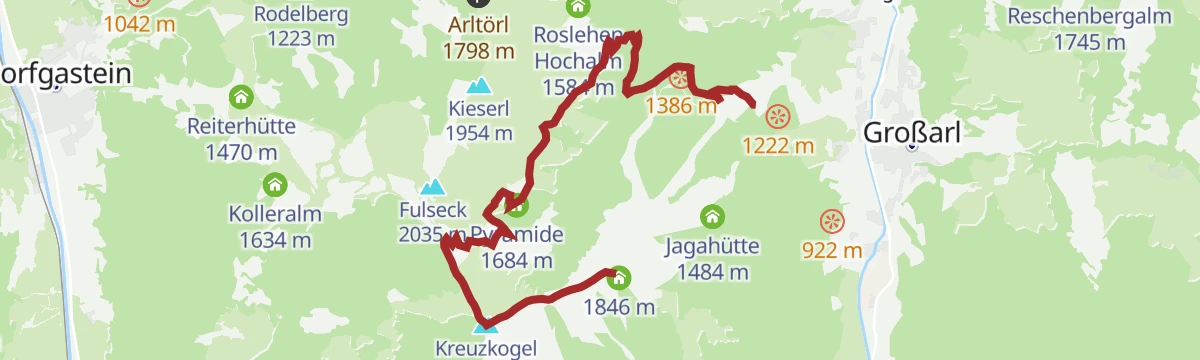
Großarl: Kreuzkogel - Fulseck - Arltörl - Berglandhaus - Großarl
A round from the Panoramabahn top station over the Kreuzkogel and the Fulseck, then down by the Arltörl and the Berglandhaus into the valley.
- 8.7 km
- Distance
- 256 m
- Ascent
- 3 h 22 min
- Duration
- 148
- Check-ins
Salzburger Almenweg - Etappe 13: Loosbühelalm - Gernkogel/St. Johann
Stage 13 of the Salzburger Almenweg, a 19 km alm day from the Loosbühelalm past the Ellmaualm and Weißalm to the Gernkogel above St. Johann.
- 19.4 km
- Distance
- 702 m
- Ascent
- 6 h 16 min
- Duration
- 76
- Check-ins
Großarl: Loosbühel, 2.043 m
A 710 m ski tour by way of the Loosbühelalm to the 2,043 m Loosbühel, gentle enough for those new to touring.
- 6.3 km
- Distance
- 709 m
- Ascent
- 718 m
- Descent
- 2 h 38 min
- Duration
- 16
- Check-ins
Großarl: Bergstation Panoramabahn, 1.840 m über Hubwald
A 950 m ski climb through the Hubwald to the Panoramabahn top station at 1,840 m, inside the Großarltal-Dorfgastein ski area.
- 7.6 km
- Distance
- 952 m
- Ascent
- 955 m
- Descent
- 3 h 25 min
- Duration
- 24
- Check-ins
Singletrail Großarltal | Panorama Rausch & Waldgeflüster
A singletrack descent from the Laireiter Alm at 1,839 m, running down past the Zapfenhütte and the Alpentaverne to the valley floor at Großarl.
- 9.3 km
- Distance
- 12 m
- Ascent
- 1 h 11 min
- Duration
- 36
- Check-ins
Großarl: Mooslehenalm - Viehhausalm - Niggeltalalm
A three-hut traverse on the alm roads above Großarl, working up from about 1,450 m to the Viehhausalm at 1,640 m.
- 16.0 km
- Distance
- 833 m
- Ascent
- 2 h 17 min
- Duration
- 16
- Check-ins
Gipflstadl
A 2.5 km stroll to the Hauserbauer hut on the Fulseck, the high point of the Großarltal-Dorfgastein ski area.
- 2.5 km
- Distance
- 77 m
- Ascent
- 47 min
- Duration
- 93
- Check-ins
Großarl: Kieserl - Schuhflicker - Aualm
A short ridge walk from the Kieserl to the summit of the Schuhflicker, dropping afterwards to the Aualm for a stop.
- 4.7 km
- Distance
- 407 m
- Ascent
- 2 h 50 min
- Duration
- 77
- Check-ins
Großarltal: 3-Tages-Wanderung über die Breitenebenalm und Ellmaualm zu den Draugsteinalmen
A three-day hut walk of 24 km linking the Breitenebenalm, the Ellmaualm and the Draugsteinalmen over the Gründegg and the Filzmoossattel.
- 23.5 km
- Distance
- 1 526 m
- Ascent
- 10 h 8 min
- Duration
- 62
- Check-ins
Großarl: Gründegg, 2.168 m
An 835 m ski tour past the Ellmaualm to the 2,168 m Gründegg, usually in condition from early in the season.
- 5.3 km
- Distance
- 869 m
- Ascent
- 866 m
- Descent
- 2 h 55 min
- Duration
- 14
- Check-ins
Großarl: Filzmooshörndl, 2.189 m
A 1,170 m ski tour by way of the Filzmoosalm to the 2,189 m Filzmooshörndl, which looks out across the whole Großarltal.
- 11.1 km
- Distance
- 1 184 m
- Ascent
- 1 184 m
- Descent
- 4 h 27 min
- Duration
- 24
- Check-ins
Großarl: Gerstreitalm
A climb linking three alms above Großarl, the Heugathalm and the Gölleralm on the way up to the Gerstreitalm at 1,575 m.
- 14.7 km
- Distance
- 707 m
- Ascent
- 1 h 59 min
- Duration
- 9
- Check-ins
Großarler Genussradtour
A tour of the high huts above the valley, climbing past the Hochbruckhütte and the Unterwandalm to the Großwildalm at 1,778 m.
- 23.4 km
- Distance
- 971 m
- Ascent
- 2 h 59 min
- Duration
- 15
- Check-ins
Großarl: Kieserl - Arltörl - Alpentaverne
An almost level walk from the Kieserl top station over the Arltörl to the Alpentaverne, with the Zapfenhütte also on the way.
- 4.4 km
- Distance
- 10 m
- Ascent
- 1 h 44 min
- Duration
- 56
- Check-ins
Salzburger Almenweg - Etappe 12: Tappenkarseehütte - Loosbühelalm
Twelfth Almenweg stage, traversing the flanks of the Draugstein by the Draugsteintörl and dropping through the Ellmautal to the Loosbühelalm.
- 8.9 km
- Distance
- 585 m
- Ascent
- 4 h 4 min
- Duration
- 65
- Check-ins
Großarl: 2-Tages-Wanderung durch das Ellmautal
A two-day traverse of the Ellmautal, the largest side valley of the Großarltal, with 30 km and 1,850 m of ascent over the Gründegg and the Remsteinkopf.
- 29.7 km
- Distance
- 1 865 m
- Ascent
- 12 h 45 min
- Duration
- 60
- Check-ins
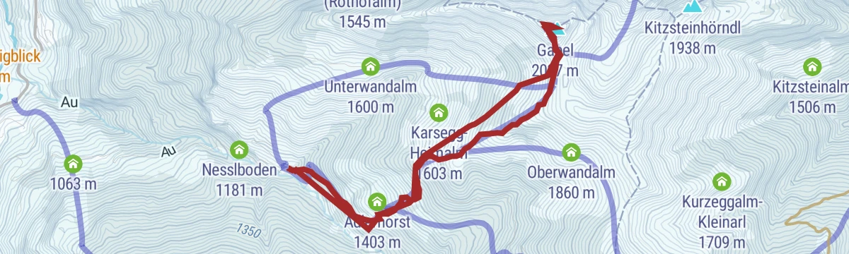
Großarl: Kitzstein (Gabel), 2.037 m
An 820 m ski tour to the 2,037 m Gabel above the Adlerhorst, sheltered enough to be worth doing when the weather turns.
- 6.1 km
- Distance
- 821 m
- Ascent
- 808 m
- Descent
- 2 h 53 min
- Duration
- 7
- Check-ins
Großarltal: Throneck, 2.214 m
A 980 m ski tour in the Tofernalmen area to the 2,214 m Throneck, crossing the Tofernscharte on the way.
- 14.1 km
- Distance
- 1 060 m
- Ascent
- 967 m
- Descent
- 4 h 49 min
- Duration
- 20
- Check-ins
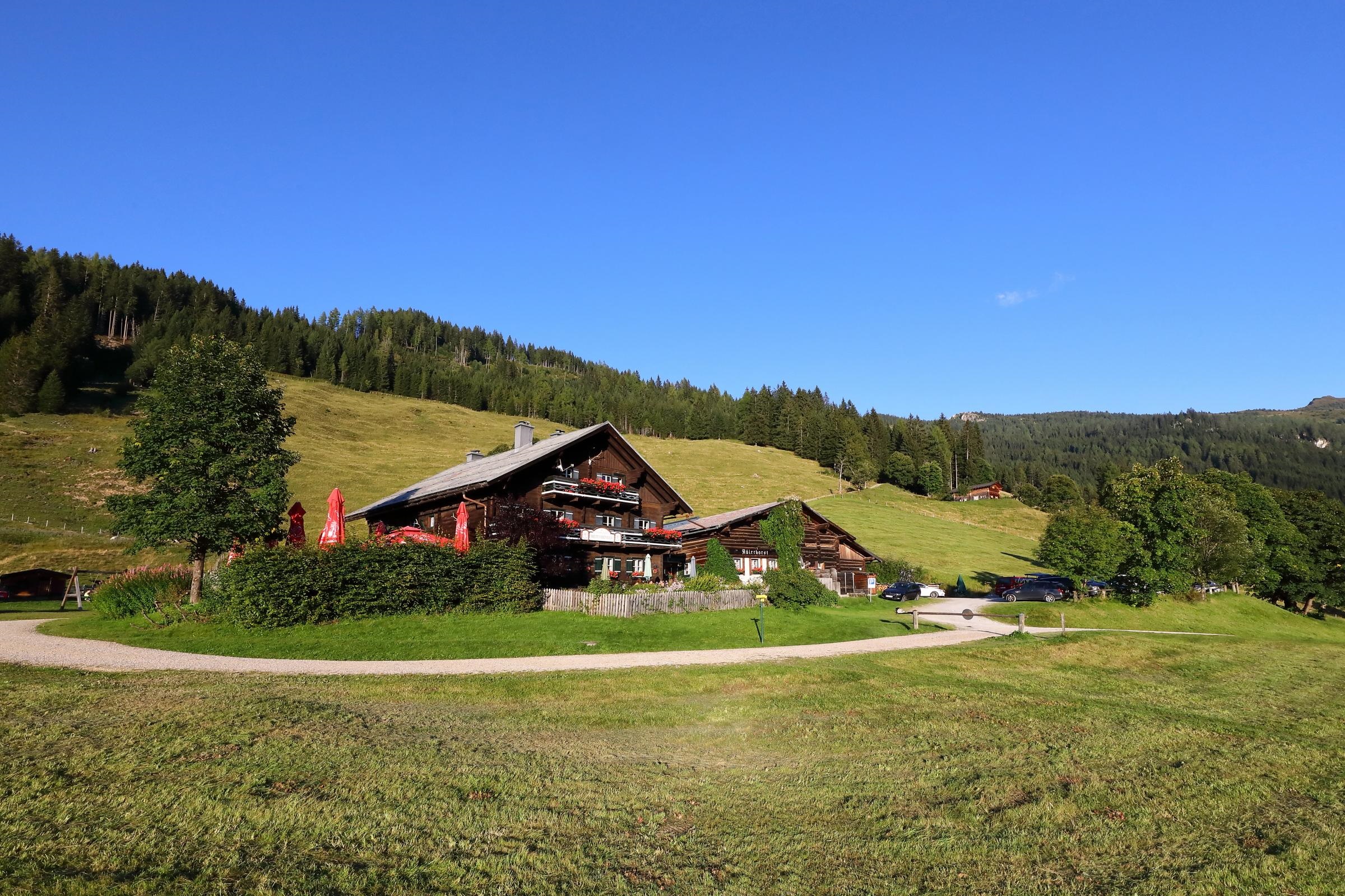
Großarl: Breitenebenalm
A medium gravel climb above Großarl to a cluster of huts at about 1,400 m, the Adlerhorst and the Breitenebenalm, by way of Nesslboden.
- 11.2 km
- Distance
- 560 m
- Ascent
- 1 h 33 min
- Duration
- 6
- Check-ins
Großarl: Unterwandalm - Karseggalm
A ride connecting two alms at about 1,600 m by way of the Hochbruckhütte, high on the flanks of the Großarltal.
- 19.6 km
- Distance
- 819 m
- Ascent
- 2 h 31 min
- Duration
- 14
- Check-ins
Großarl: Kreuzkogel - Harbachhütte - Gehwolfalm
A lift-assisted round from the Kreuzkogel down to the Harbachhütte and the Gehwolfalm, with under 5 km of walking.
- 4.9 km
- Distance
- 319 m
- Ascent
- 2 h 10 min
- Duration
- 55
- Check-ins
Wanderung über 5 Almen gegen den Strom
Mostly downhill traverse from the Alpendorf gondola along the Wagrainer Höhenweg, calling at the Maurachalm, Unterwandalm and Karseggalm before a bus back from the Sonneck bridge.
- 12.9 km
- Distance
- 419 m
- Ascent
- 4 h 27 min
- Duration
- 62
- Check-ins
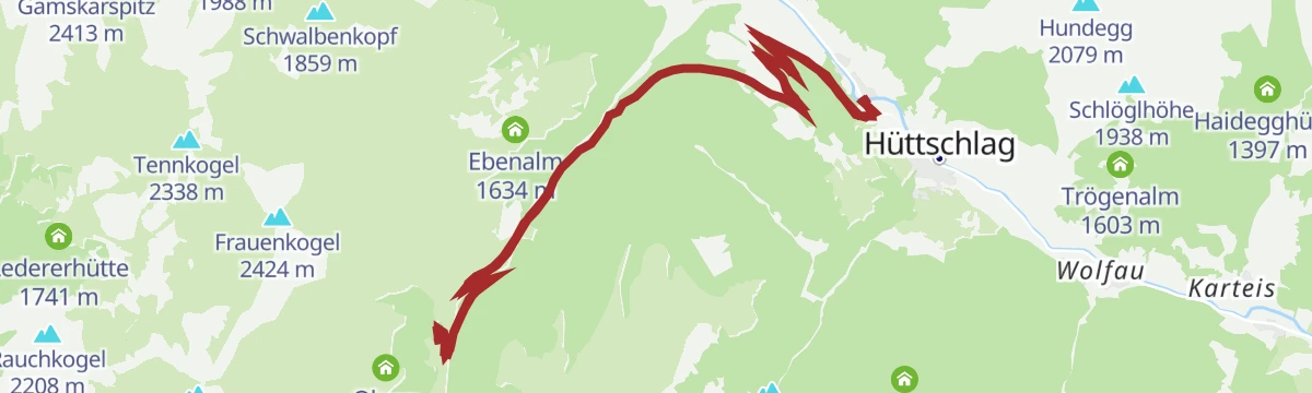
Großarltal: 3-Tages-Wanderung Ellmautal und Hüttschlag
A three-day route for active families through the Ellmautal to Hüttschlag, 27 km with nights in huts such as the Draugsteinalm and the Filzmoosalm.
- 26.8 km
- Distance
- 1 571 m
- Ascent
- 11 h 47 min
- Duration
- 60
- Check-ins
Großarltal: Finsterkopf, 2.152 m
A 920 m ski tour through the Tofernalmen to the 2,152 m Finsterkopf, by way of the Oberharbachalm.
- 12.8 km
- Distance
- 995 m
- Ascent
- 902 m
- Descent
- 4 h 24 min
- Duration
- 16
- Check-ins
Hüttschlag: Harbachalm
A steady track ascent out of the Großarltal to the huts at Oberharbach and the Untere Tofernalm, just above 1,600 m.
- 14.6 km
- Distance
- 663 m
- Ascent
- 1 h 55 min
- Duration
- 6
- Check-ins
Großarl: Berggasthof Loosbühelalm
A long forest-road ride past the Klausbauer farm, climbing 875 m to the mountain inn at the Loosbühelalm at 1,769 m.
- 18.6 km
- Distance
- 893 m
- Ascent
- 2 h 31 min
- Duration
- 10
- Check-ins
Großarl: Kieserl - Harbachhütte - Gehwolfalm - Alpentaverne
A nearly level 6 km walk from the Kieserl by way of the Harbachhütte, Gehwolfalm and Alpentaverne down to the middle stations.
- 5.9 km
- Distance
- 48 m
- Ascent
- 2 h 11 min
- Duration
- 53
- Check-ins
3-Tages Hüttentour - Tag 2
Middle day of a hut tour from Hüttschlag towards Großarl, over the Filzmooshörndl and Filzmoossattel with the Filzmoosalm, Ellmaualm and Loosbühelalm en route.
- 10.8 km
- Distance
- 593 m
- Ascent
- 4 h 12 min
- Duration
- 61
- Check-ins
Großarltal: 3-Tages-Wanderung Weißalm bis Gerstreitalm
A three-day round of 22 km from the Weißalm to the Gerstreitalm, crossing the Penkkopf, Gründegg and Roßfeldeck between staffed alm huts.
- 22.3 km
- Distance
- 1 313 m
- Ascent
- 9 h 37 min
- Duration
- 55
- Check-ins
Großarltal: Frauenkogel, 2.424 m
A 1,220 m ski ascent of the 2,424 m Frauenkogel, one of the wider viewpoints in the Großarltal.
- 10.7 km
- Distance
- 1 297 m
- Ascent
- 1 295 m
- Descent
- 4 h 41 min
- Duration
- 4
- Check-ins
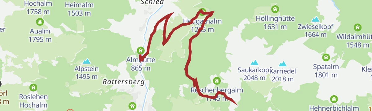
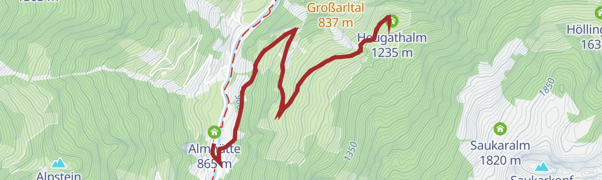
Großarl: Heugathalm
A short forest-road climb from the valley floor at Großarl, gaining under 400 m to reach the Heugathalm at 1,235 m.
- 7.2 km
- Distance
- 371 m
- Ascent
- 1 h 1 min
- Duration
- 5
- Check-ins
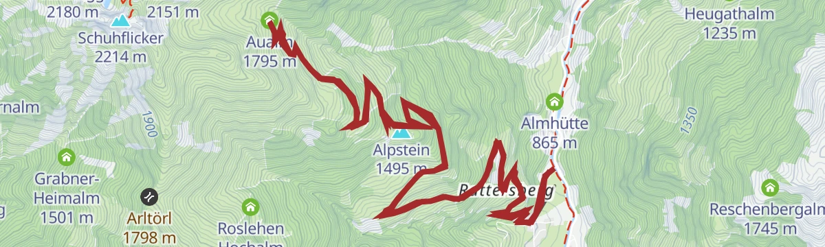
Großarl: Aualm
A long gravel ascent from the ski lifts at Fischbacherwiese up past the Aubauern-Heimalm to the Aualm at 1,795 m below the Alpstein.
- 16.3 km
- Distance
- 920 m
- Ascent
- 2 h 28 min
- Duration
- 9
- Check-ins
Großarl: Kreuzkogel Kinderwagen-Gipfelsieg
An easy walk from the Panoramabahn top station to the Kreuzkogel, the ski mountain above Großarl, on ground a pushchair can manage.
- 2.7 km
- Distance
- 181 m
- Ascent
- 1 h 13 min
- Duration
- 45
- Check-ins
Großarl: Kreuzkogel - Haarlehenalm - Großarl (Alter Almsteig)
From the Kreuzkogel an old alm path drops by the Haarlehenalm into Großarl, with the Alpentaverne and quiet resting spots en route.
- 8.4 km
- Distance
- 199 m
- Ascent
- 3 h 3 min
- Duration
- 60
- Check-ins
Großarl: Filzmoosalm - Filzmoossattel - Filzmooshörndl - Remsteinkopf - Bichlalm
A traverse from the Filzmoosalm over the Filzmooshörndl and the Remsteinkopf to the Bichlalm, 915 m of ascent between quiet high pastures.
- 14.0 km
- Distance
- 907 m
- Ascent
- 6 h 15 min
- Duration
- 42
- Check-ins
Großarl: Aigenalmen
A forest-road climb out of the Großarl valley to the pair of Aigenalm huts, the Paulhütte and the Mandlhütte, at around 1,300 m.
- 10.5 km
- Distance
- 459 m
- Ascent
- 1 h 22 min
- Duration
- 4
- Check-ins
Großarl: Karseggalm
A long climb up the valley and onto the alm road, ending at the Karsegg-Heimalm at 1,603 m after 766 m of ascent.
- 19.5 km
- Distance
- 838 m
- Ascent
- 2 h 31 min
- Duration
- 8
- Check-ins
Schialm Kreuzkogel
A short walk from the Panoramabahn top station down to the ski hut that sits just below the summit of the Kreuzkogel.
- 2.5 km
- Distance
- 149 m
- Ascent
- 1 h 2 min
- Duration
- 45
- Check-ins
Großarl: Kreuzkogel - Spiegelsee
An unhurried 7 km walk over the Kreuzkogel to the Spiegelsee, with the Laireiter Alm on the way.
- 6.6 km
- Distance
- 392 m
- Ascent
- 2 h 43 min
- Duration
- 45
- Check-ins
Großarl: 3-Tages-Wanderung Unterwandalm bis Gerstreitalm
A three-day hut walk of 25 km from the Unterwandalm by way of the Saukaralm and Maurachalm to the Gerstreitalm, with the Gabel on the route.
- 24.9 km
- Distance
- 1 438 m
- Ascent
- 10 h 32 min
- Duration
- 37
- Check-ins
No routes of this kind in Großarl yet.
The region's own picks

Featured route
Großarl: Himmelsroute
A lift-assisted ridge walk from the Kieserl top station over the Fulseck and the Kreuzkogel, ending at the Panoramabahn station.
Planning a trip to Großarl?
Everything else Salzburg (state) has, in one place


Take Großarl with you into the mountains
Every route on this page with 3D terrain, GPX navigation and offline maps — including the valleys with no signal.
Data sources
- Official website: grossarltal.info ↗
- Routes and highlights: Großarltal Tourismus, St. Johann im Pongau Tourismus
- Published as open data by the tourist boards named above.
- Region summary generated from the board's own material.
