
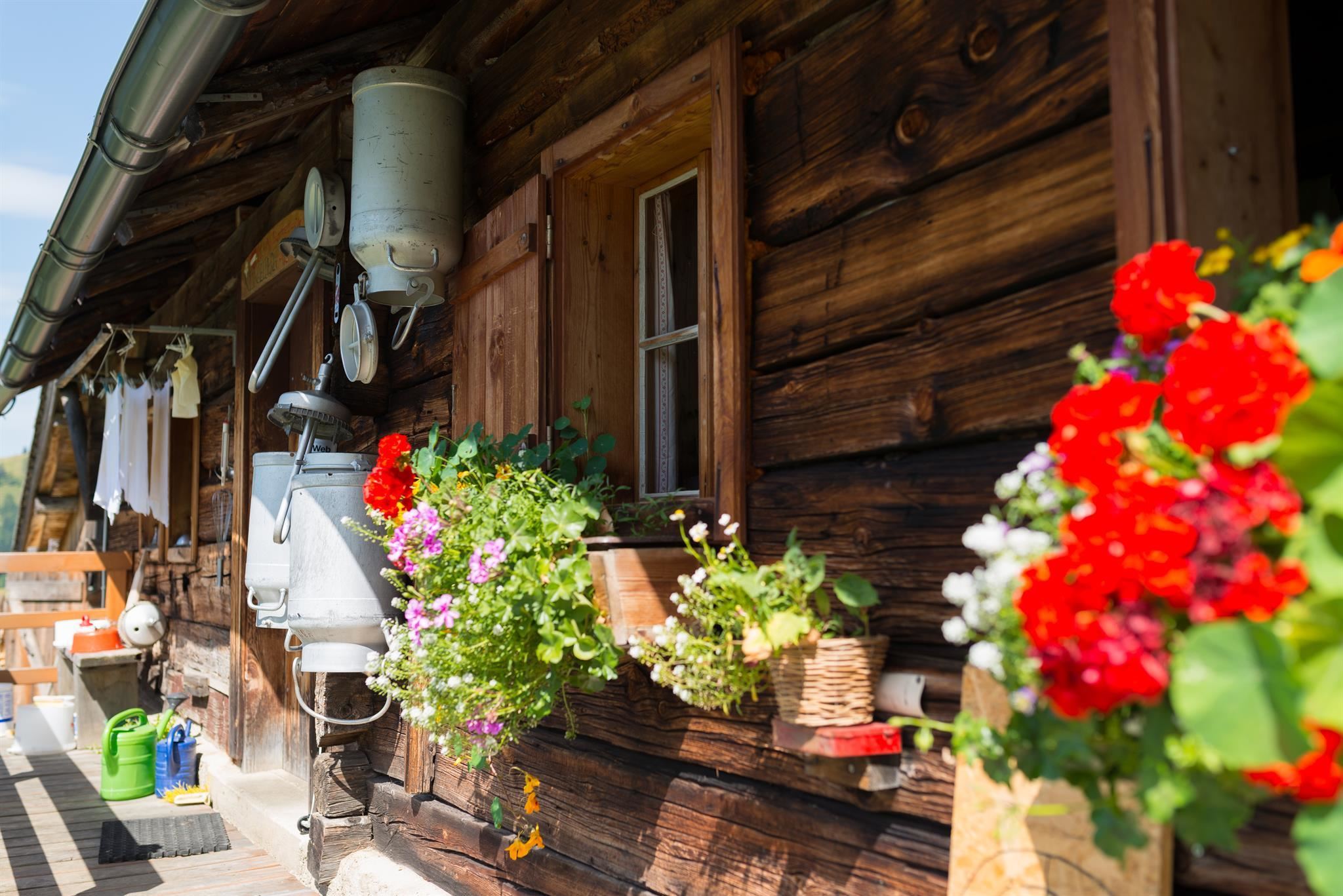
 Mountain hut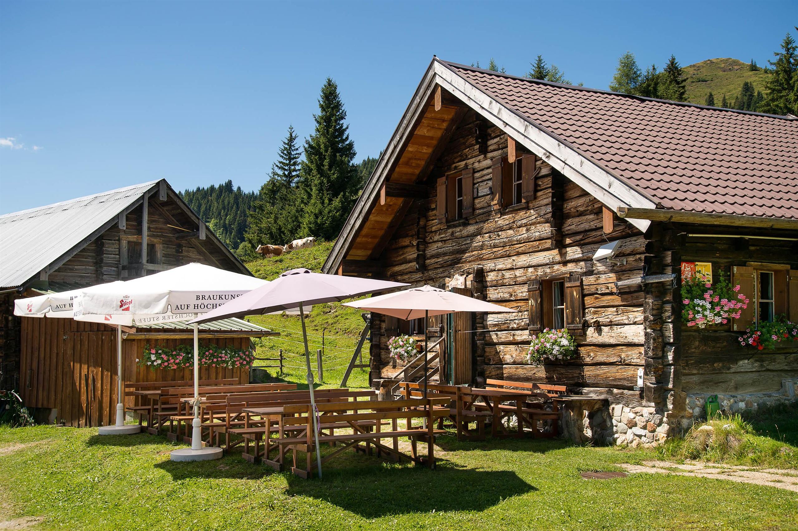
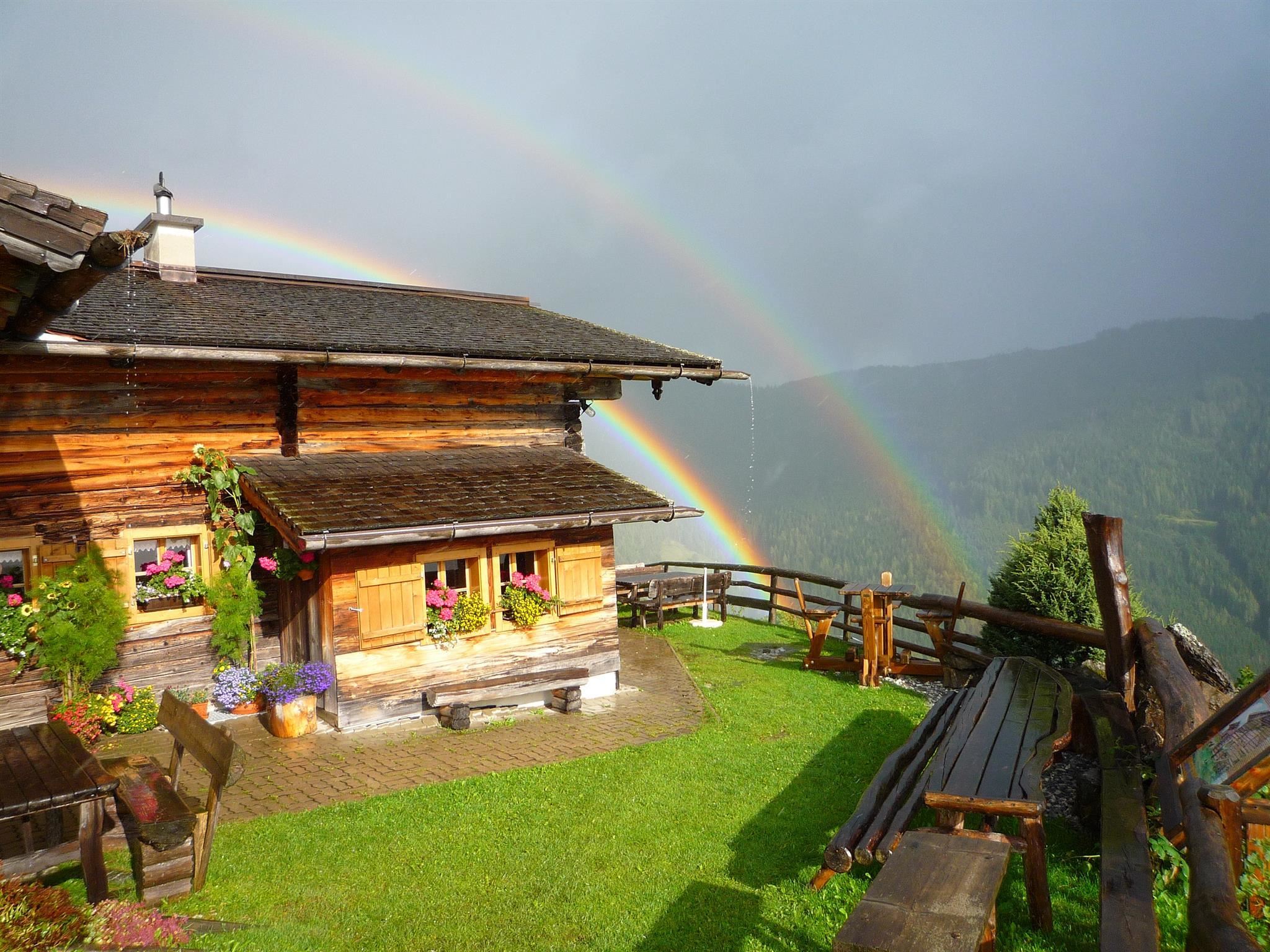
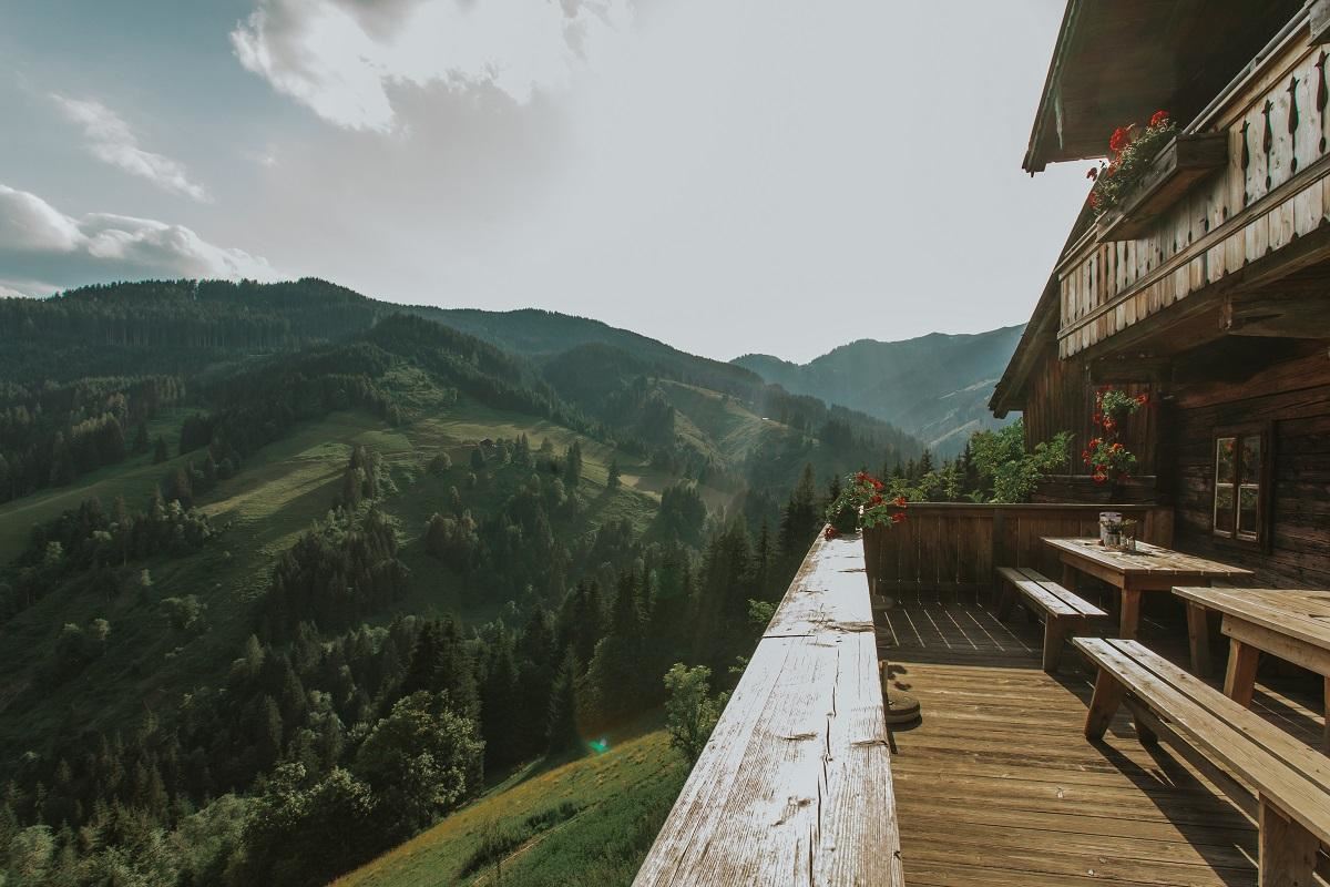
 Cable car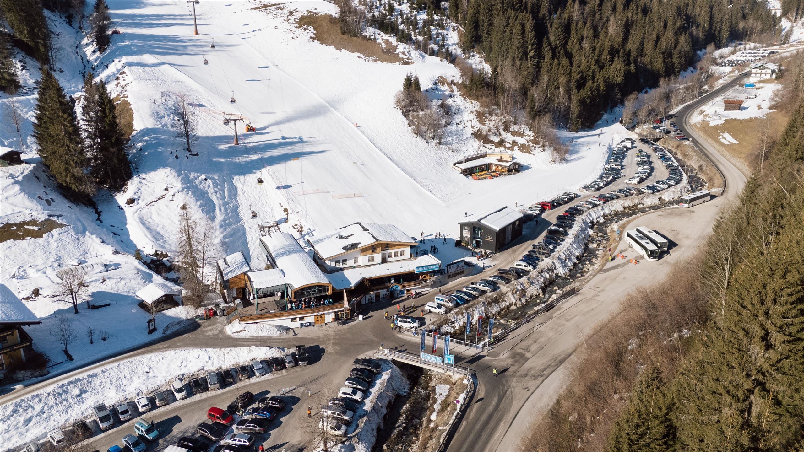





Curated by Hochkönig Tourismus
Goldegg
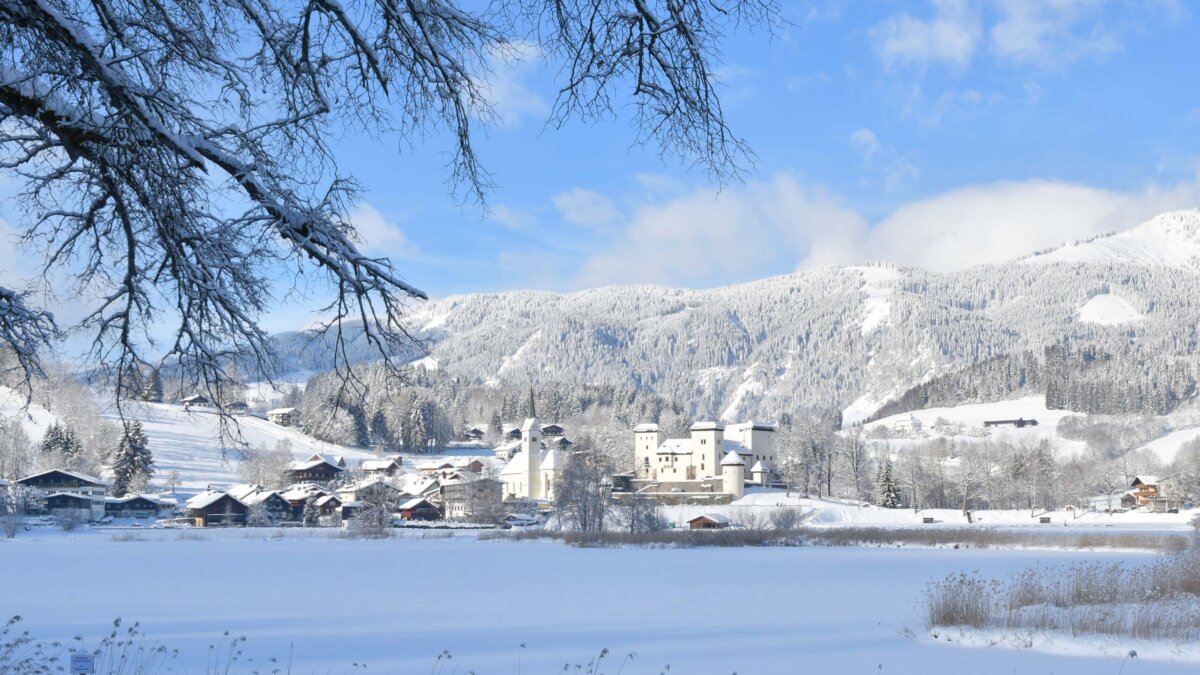
On a sunny shelf above the Salzach valley beside a small moor lake, its 14th-century castle with a painted knights' hall now serving as a seminar and culture house.
- 1Highlights
- 13Routes
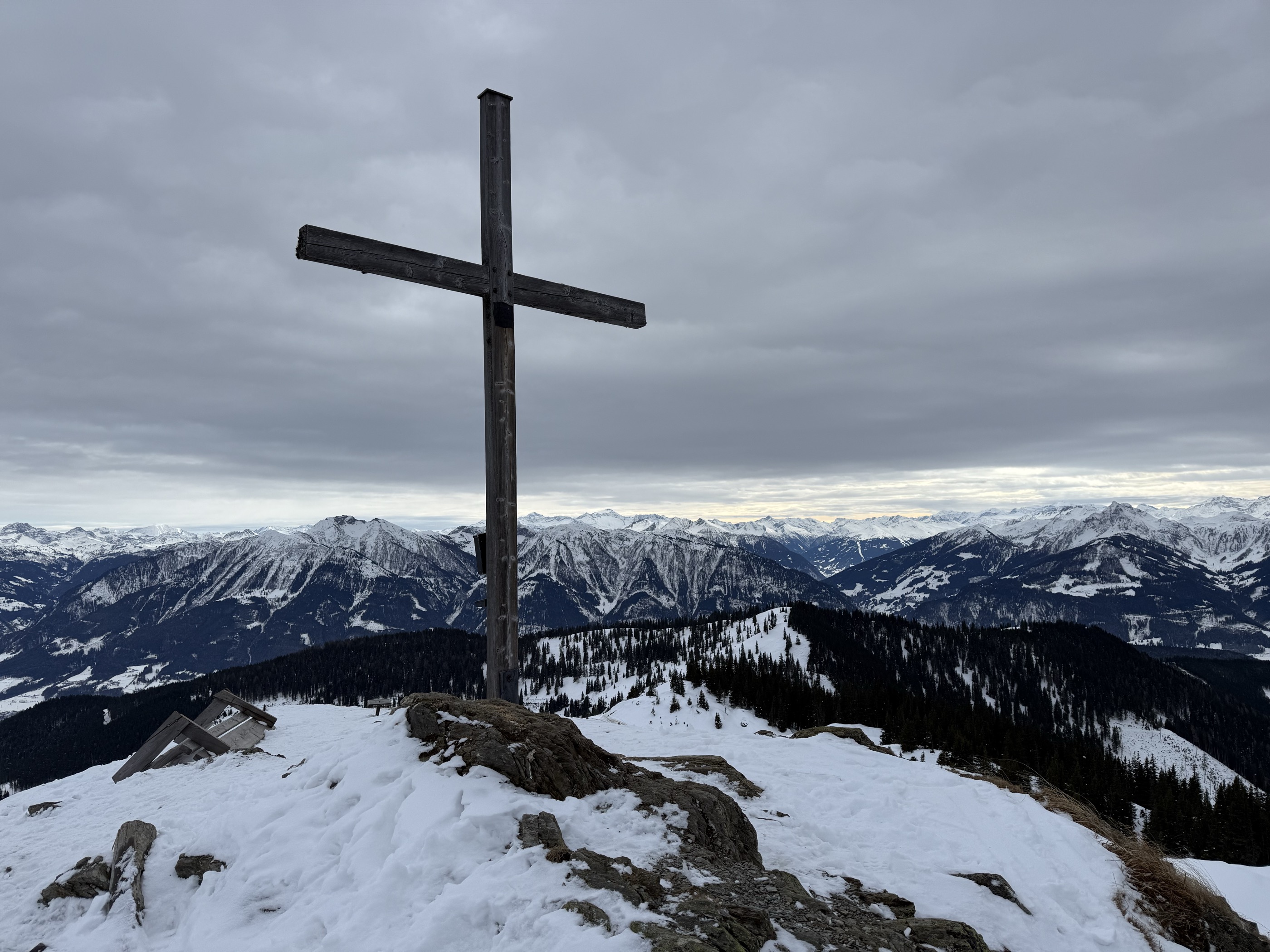
- Featured summit · Schneebergkreuz
Highlights
14 from neighbouring places
Klingelbergalm 1.474 m
A farm alm at 1,474 m above Dienten am Hochkönig, selling organic produce direct from the farm and serving plain home cooking.
Moosalm 1.386 m
3.9 km away, in Dienten am Hochkönig
A pasture hut at 1,386 m above Dienten am Hochkönig, offering home cooking on the walking routes around the village.
Königsbergalm 1.325 m
4.1 km away, in Dienten am Hochkönig
A pasture hut at 1,325 m on the Königsberg above Dienten, serving home-style regional food in the meadows south of the Hochkönig.
Althausalm 1.200m
4.6 km away, in Sankt Veit im Pongau
A pasture hut at 1,200 m in the Mühlbach corner of the Hochkönig region, serving regional dishes through the summer season.
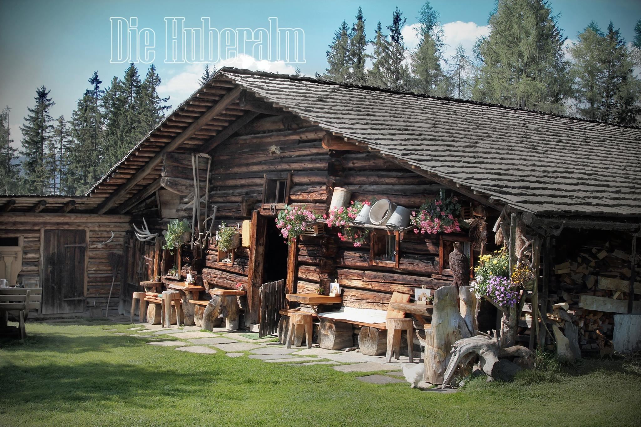
Huberalm 1.422 m
4.9 km away, in Dienten am Hochkönig
A quiet working alm at 1,422 m above Dienten am Hochkönig, serving simple alm fare to walkers in the summer season.
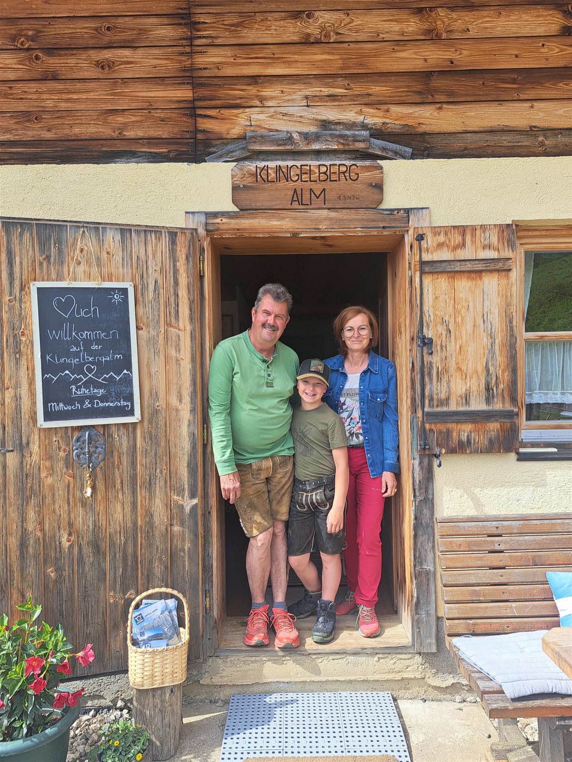
Klingelbergalm 1.543 m
5.7 km away, in Mühlbach am Hochkönig
A pasture hut at 1,543 m on the Klingelberg above Mühlbach am Hochkönig, with home cooking for walkers in the summer months.
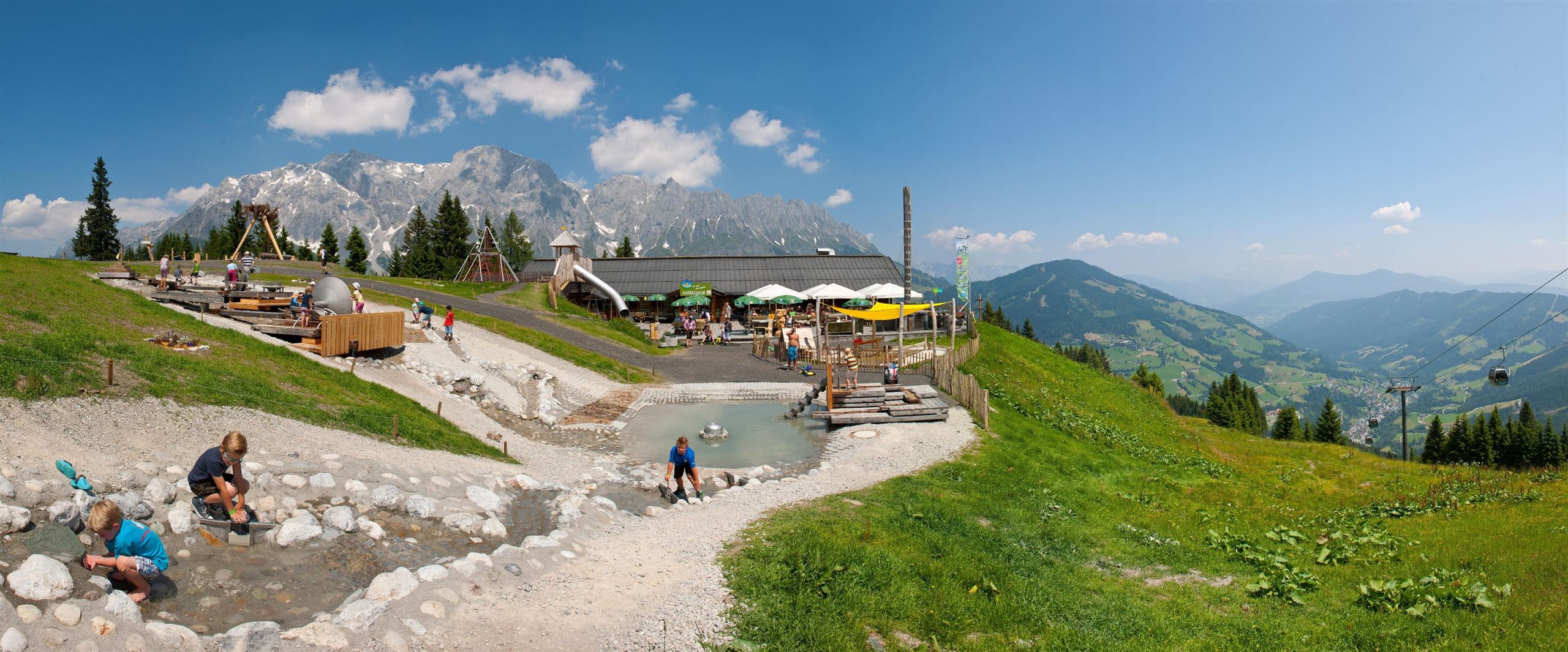
Karbachalm 1.564 m
5.7 km away, in Mühlbach am Hochkönig
A hut at 1,564 m on the Karbachalm above Mühlbach am Hochkönig, reached by gondola or on foot, with regional and vegan dishes.
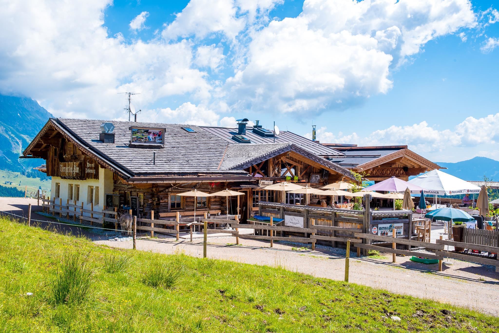
Tiergartenalm 1.540 m
6.2 km away, in Mühlbach am Hochkönig
A hut at 1,540 m on the Tiergarten slopes above Mühlbach am Hochkönig, with regional and vegan cooking for skiers and walkers.
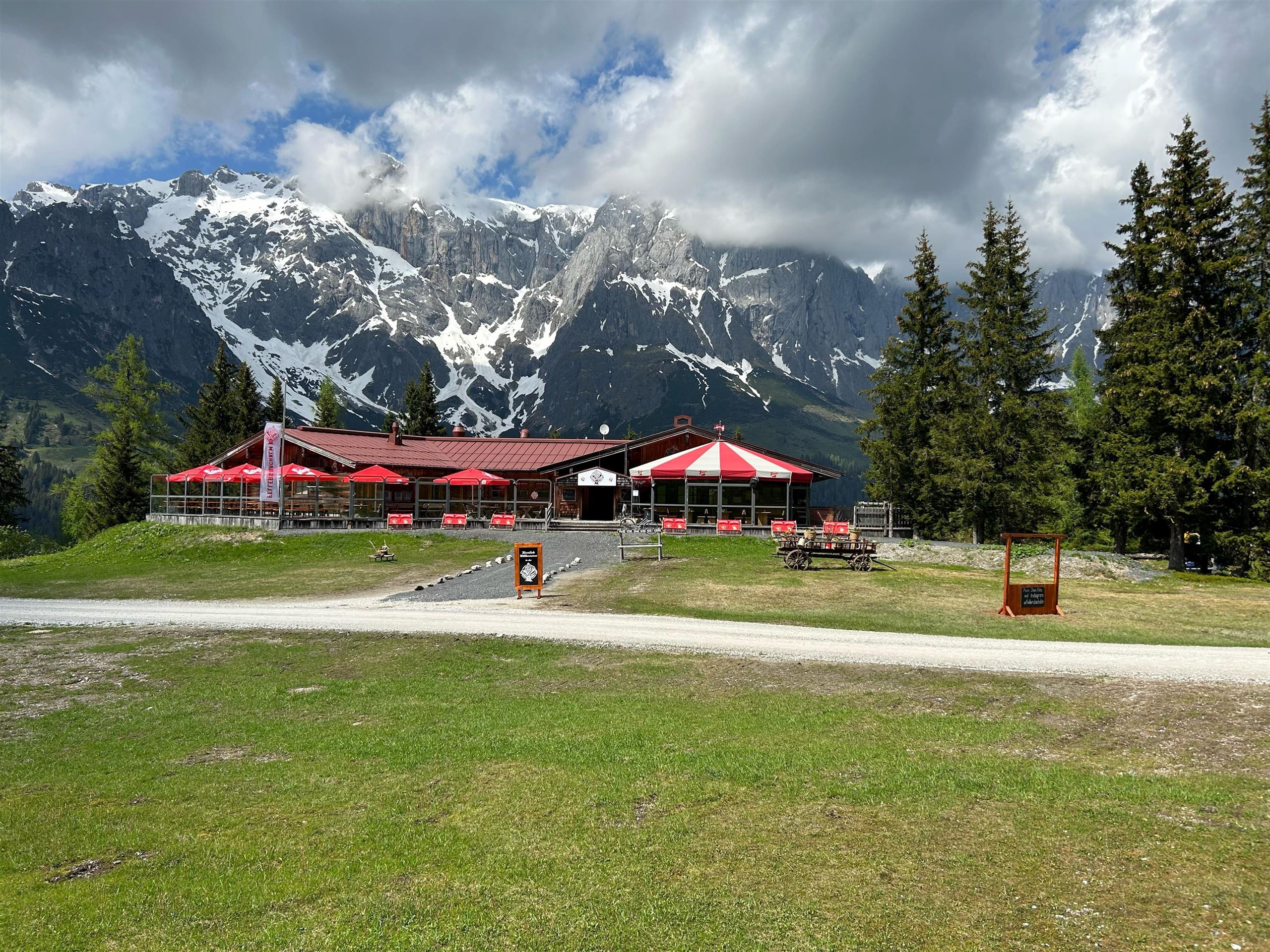
Fellersbachalm 1.432m
6.3 km away, in Mühlbach am Hochkönig
A pasture hut at 1,432 m in the Fellersbach area above Mühlbach am Hochkönig, serving traditional Austrian dishes.
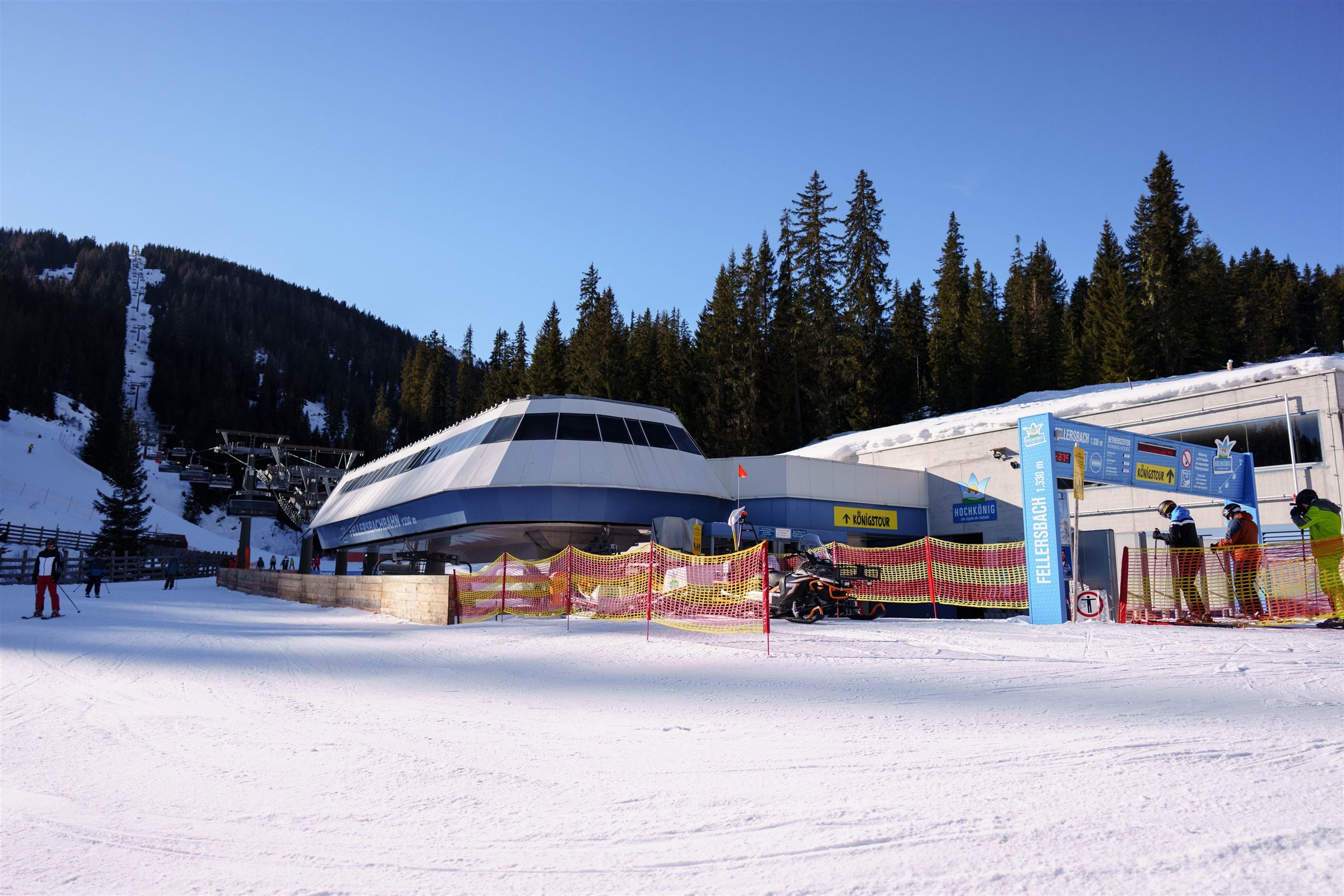
Fellersbachbahn 6er Sesselbahn
6.5 km away, in Mühlbach am Hochkönig
A six-seat chairlift in the Fellersbach area of Mühlbach am Hochkönig, feeding the slopes on the village's side of the ski region.
Karbachalmbahn 6er Kabinenbahn
6.5 km away, in Mühlbach am Hochkönig
A six-person gondola onto the Karbachalm above Mühlbach am Hochkönig, used for skiing in winter and reaching walking country in summer.
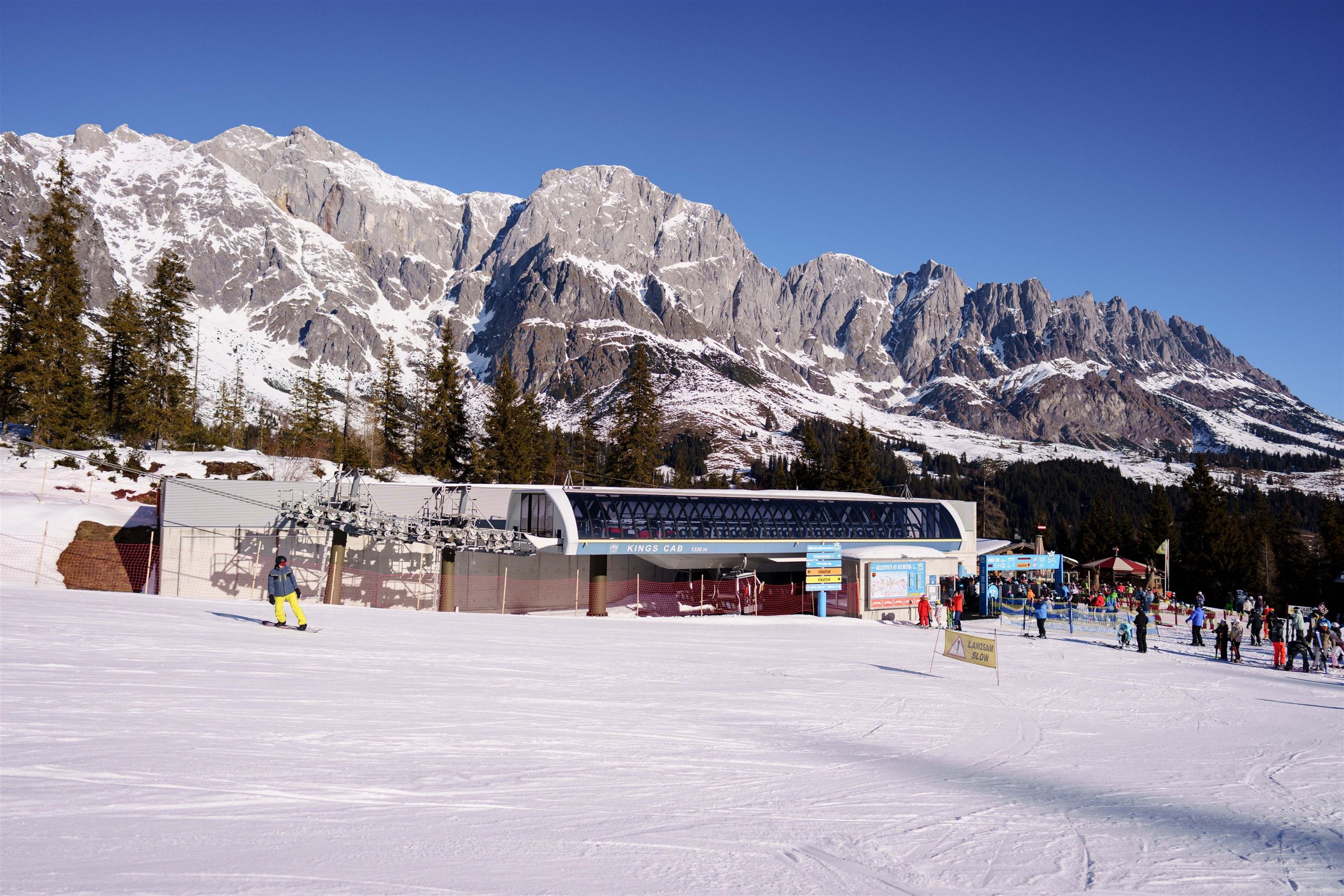
Kings Cab 8er Kabinenbahn
6.6 km away, in Mühlbach am Hochkönig
An eight-person gondola at Mühlbach am Hochkönig named Kings Cab, a main feeder into the slopes beneath the Hochkönig massif.
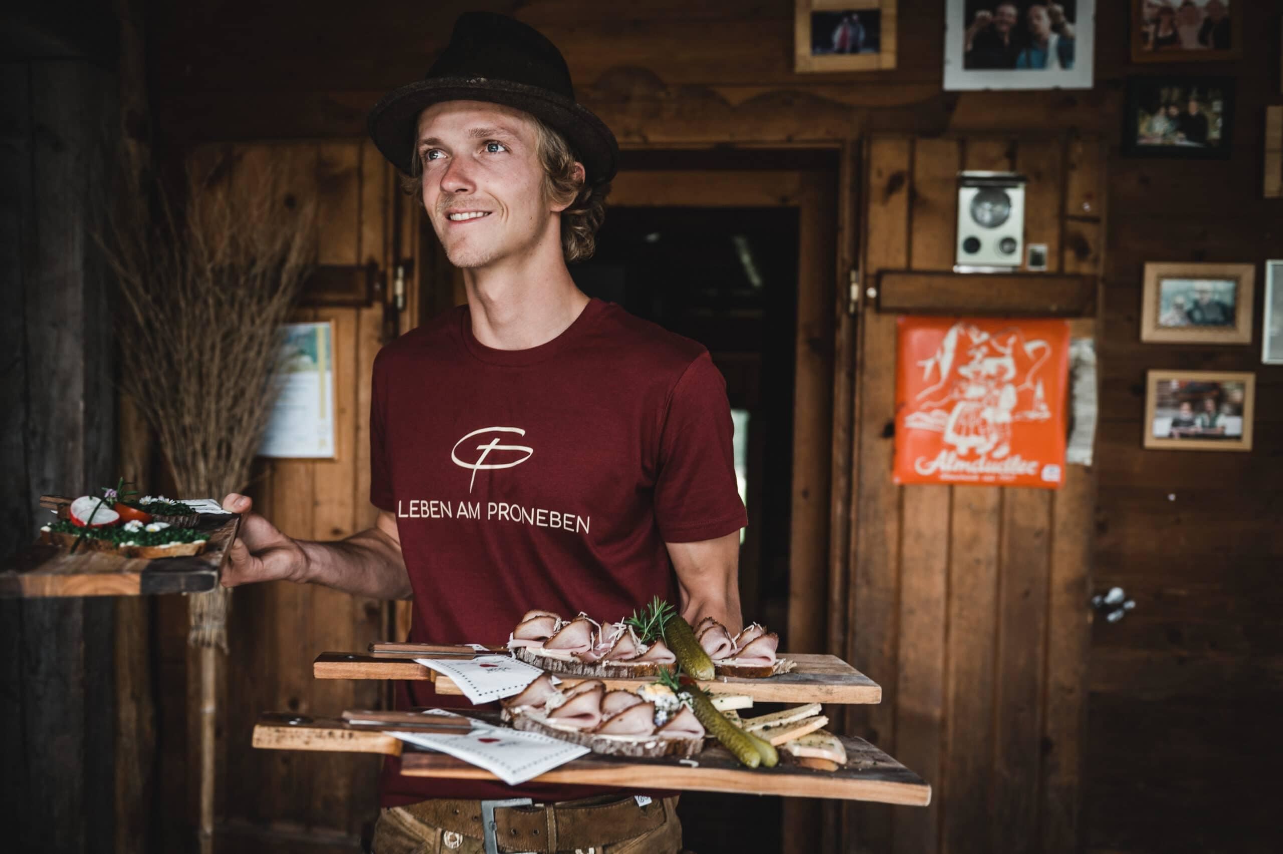
Pronebenalm 1.280 m
6.6 km away, in Mühlbach am Hochkönig
A pasture hut at 1,280 m above Mühlbach am Hochkönig, with home cooking for walkers on the paths of the Mühlbach side.
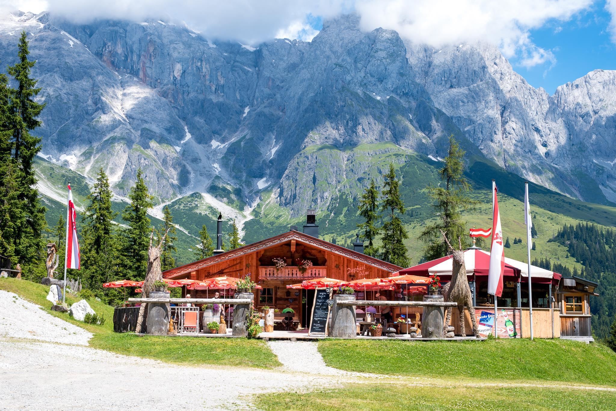
Zapferlalm 1.296 m
6.6 km away, in Mühlbach am Hochkönig
An alm at 1,296 m above Mühlbach am Hochkönig, serving Austrian dishes with vegan options to walkers on the mid-mountain paths.
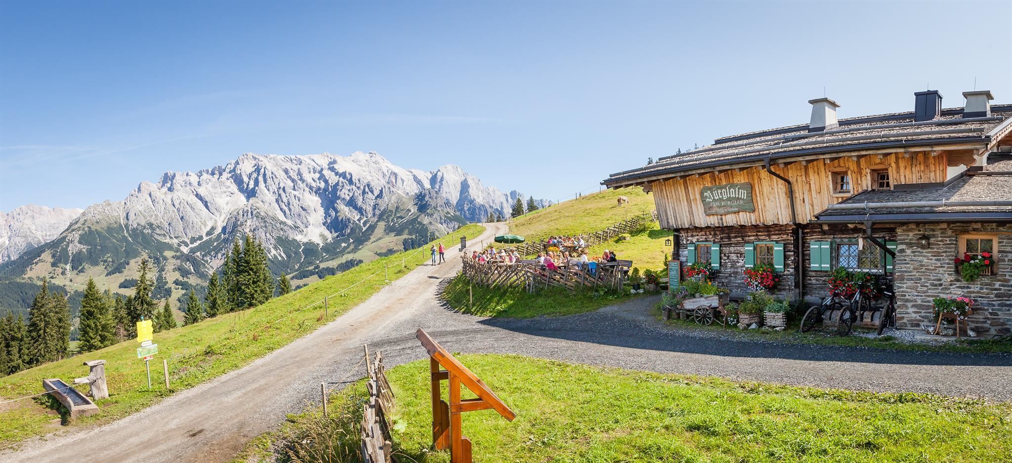
Bürglalm 1.593 m
6.7 km away, in Dienten am Hochkönig
A working alm at 1,593 m on the Bürgl above Dienten am Hochkönig, serving certified regional dishes to skiers and summer walkers.
Nothing of this kind in Goldegg.
Routes
Meiselsteinkapelle Rundweg
A 13 km round on the Schwarzenbach forest road up to the Meiselstein chapel, returning over the Meiselsteinalm and Hackeralm.
- 12.9 km
- Distance
- 606 m
- Ascent
- 4 h 31 min
- Duration
- 9
- Check-ins
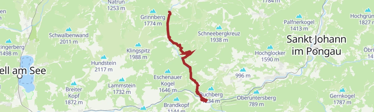
Salzburger Almenweg - Etappe 03: Dienten - Böndlsee
Third Almenweg stage, a 1,160 m day over the Wastlhöhe, Schneeberg and Kollmannsegg from Dienten to the Böndlsee, with the Bürglalm early on.
- 19.0 km
- Distance
- 1 160 m
- Ascent
- 8 h 24 min
- Duration
- 62
- Check-ins
MTB Tour - Böndlsee (Tour 8)
A short round from Goldegg down to the Böndlsee and back by the Gabühel lift.
- 11.1 km
- Distance
- 181 m
- Ascent
- 1 h 13 min
- Duration
- 3
- Check-ins
Ironman - Rund um die Pinzgauer Grasberge
The Ironman bike loop round the Pinzgau grass mountains, out by Maria Alm and back along the Salzach.
- 63.8 km
- Distance
- 796 m
- Ascent
- 6 h 25 min
- Duration
- 20
- Check-ins
IRONMAN 70.3. WM-Radstrecke
The road racing circuit around Zell am See, running out to Bruck in the Salzach valley and over the Filzensattel before returning to the lake.
- 89.9 km
- Distance
- 1 247 m
- Ascent
- 9 h 9 min
- Duration
- 17
- Check-ins
Almwanderung im Schwarzenbachtal
A quiet alm walk up the Schwarzenbachtal past the Königsbergalm and the Klausalm, well away from the busier routes.
- 9.0 km
- Distance
- 563 m
- Ascent
- 3 h 51 min
- Duration
- 1
- Check-ins
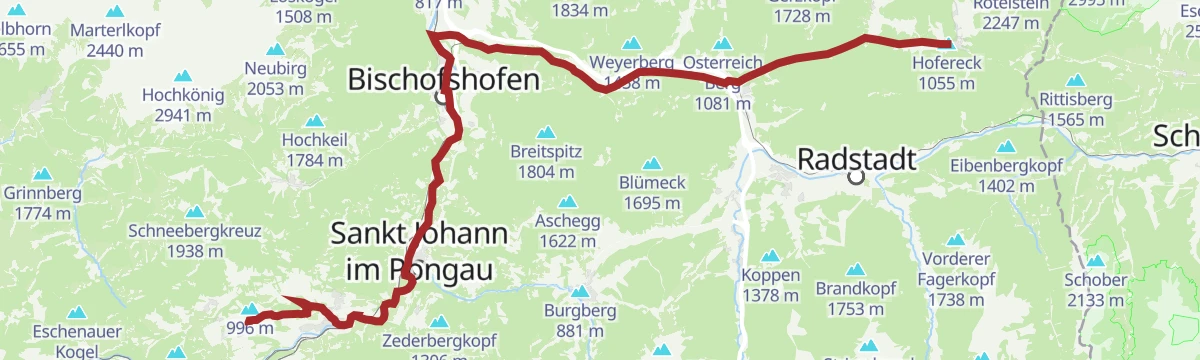
Pinzgauer Marienweg Etappe 10: Lend - Dienten
A demanding pilgrim stage from Lend up to Dienten, 15 km with a chance to swim on the way.
- 15.3 km
- Distance
- 739 m
- Ascent
- 5 h 4 min
- Duration
- 1
- Check-ins
Schloss Goldegg
A ride from the Salzach valley up to Goldegg am See, climbing to the lake and castle terrace at just over 800 m.
- 14.6 km
- Distance
- 350 m
- Ascent
- 1 h 33 min
- Duration
- 1
- Check-ins
Am Fuße des Hochkönigs
A long day round the foot of the Hochkönig from Wagrain, by the Übergossene Alm and the Mittereggalm.
- 74.8 km
- Distance
- 1 720 m
- Ascent
- 8 h 16 min
- Duration
- 14
- Check-ins
Dientner Runde + Rauriserhöhe
A long road circuit from Maria Alm over the Filzensattel to Bruck at the mouth of the Salzach valley, with a second big climb before the return.
- 72.7 km
- Distance
- 1 642 m
- Ascent
- 7 h 60 min
- Duration
- 16
- Check-ins
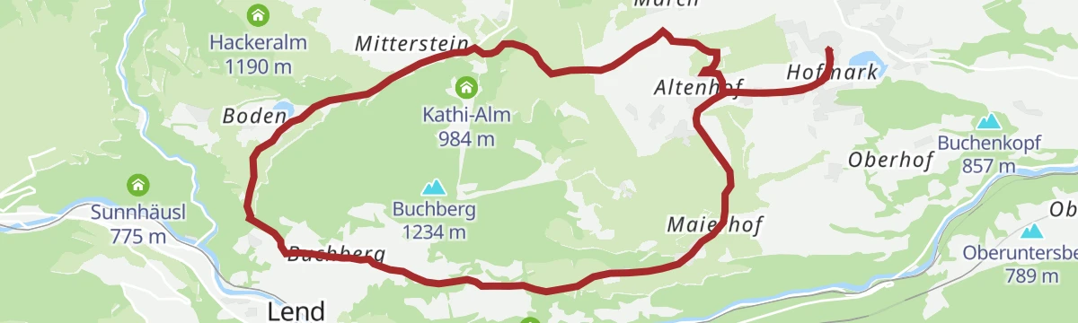
Großer Buchbergrundweg
A well-used 13 km circuit of the Buchberg above Goldegg, gentle throughout and taking in much of the parish's farmland.
- 12.8 km
- Distance
- 278 m
- Ascent
- 3 h 40 min
- Duration
Filzmoos - Schloss Goldegg
A long, gently graded run from Filzmoos down the Enns to Schloss Goldegg, by way of Schwarzach.
- 50.6 km
- Distance
- 412 m
- Ascent
- 4 h 57 min
- Duration
- 12
- Check-ins
Böndlsee
A long tour from Sankt Johann down to Schwarzach and on towards Loifarn, passing the bathing lake at Plankenau on the way.
- 39.8 km
- Distance
- 614 m
- Ascent
- 4 h 6 min
- Duration
- 6
- Check-ins
No routes of this kind in Goldegg yet.
The region's own picks

Featured route
Meiselsteinkapelle Rundweg
A 13 km round on the Schwarzenbach forest road up to the Meiselstein chapel, returning over the Meiselsteinalm and Hackeralm.
Planning a trip to Goldegg?
Everything else Salzburg (state) has, in one place


Take Goldegg with you into the mountains
Every route on this page with 3D terrain, GPX navigation and offline maps — including the valleys with no signal.
Data sources
- Official website: hochkoenig.at ↗
- Routes and highlights: Hochkönig Tourismus, Zell am See-Kaprun Tourismus, St. Johann im Pongau Tourismus, Wagrain-Kleinarl Tourismus, Filzmoos Tourismus
- Published as open data by the tourist boards named above.
- Region summary generated from the board's own material.
