
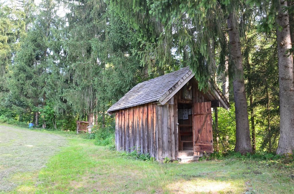
 Mountain hut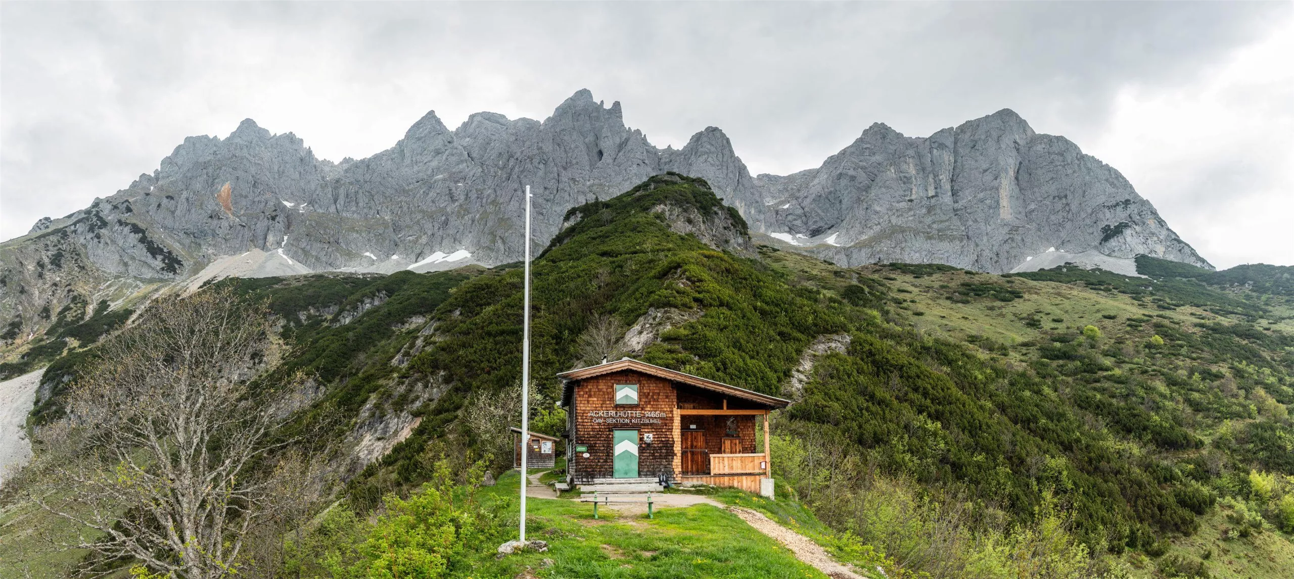



















Curated by Wilder Kaiser Tourismus
Going am Wilden Kaiser
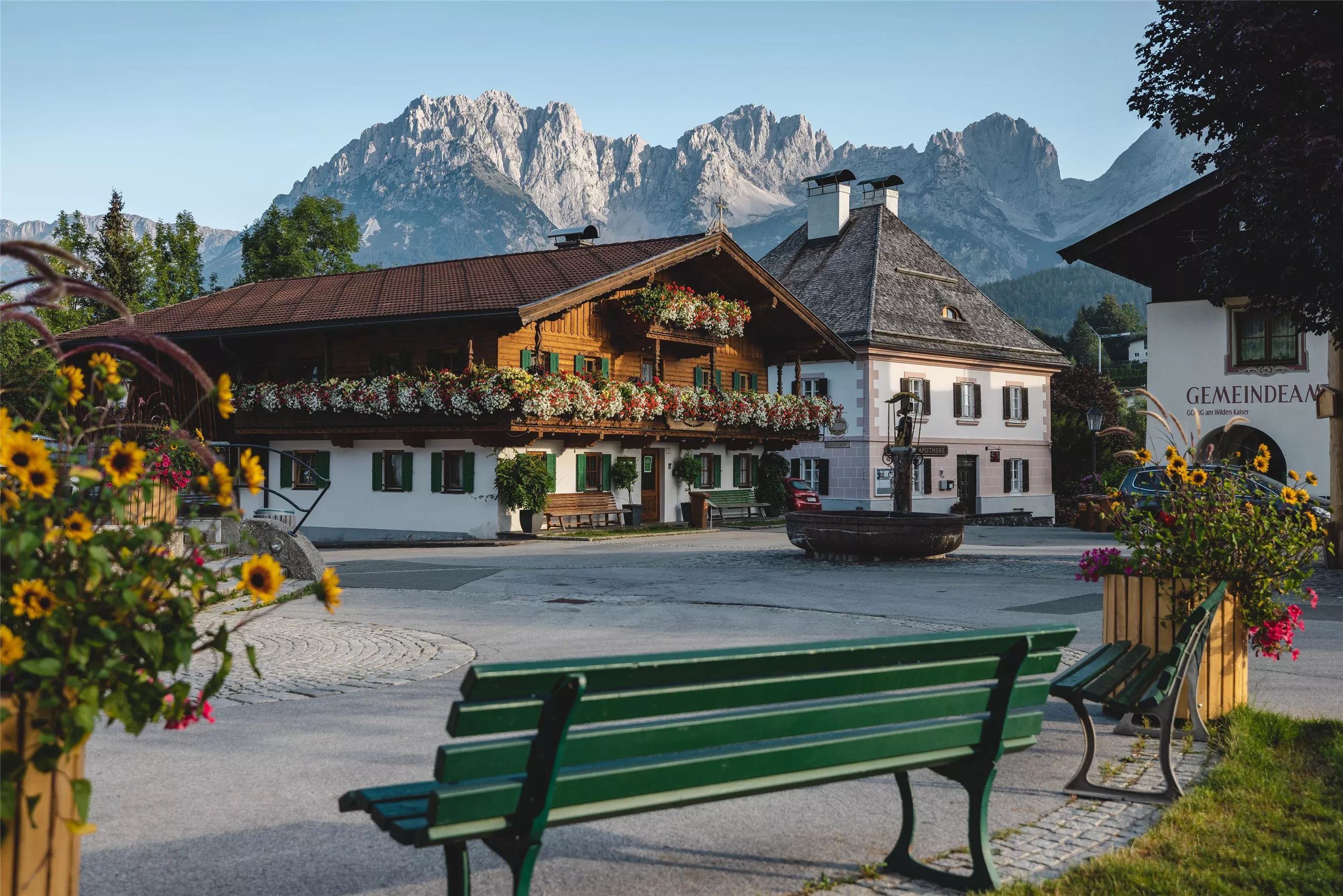
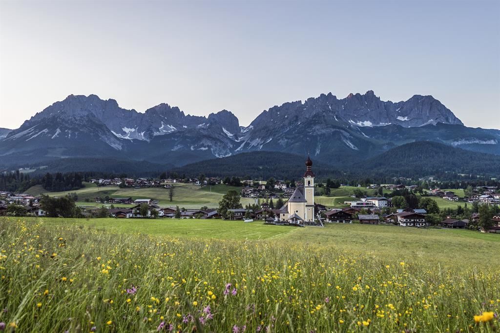
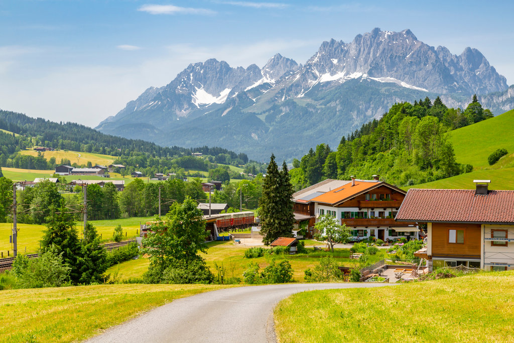
A compact farming village at the sunny foot of the Wilder Kaiser, its church square familiar from the Bergdoktor series, with a warm bathing lake.
- 21Highlights
- 94Routes
- Featured summit · Ellmauer Halt
Highlights
The 20 highest-rated · see the rest on wilderkaiser.info ↗
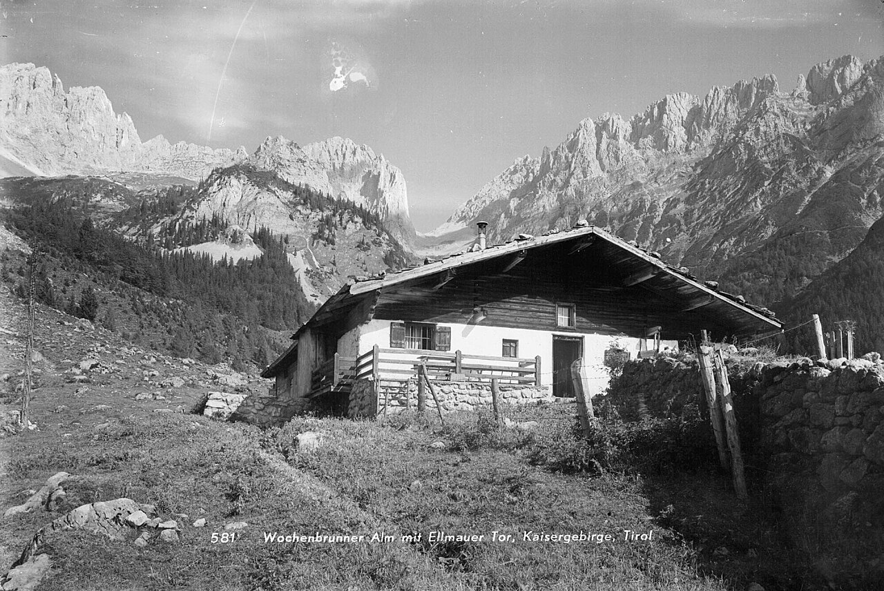
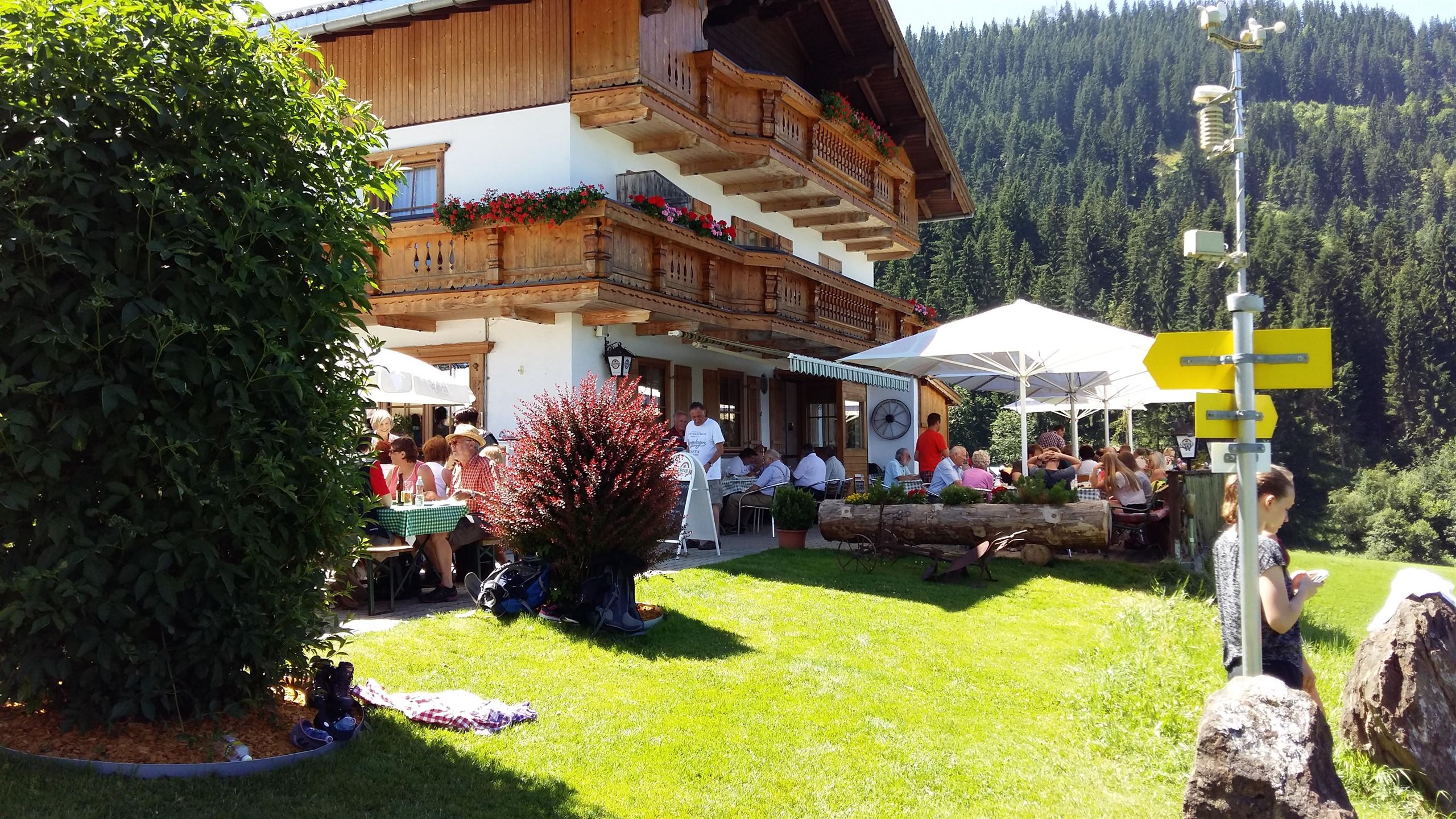
Wochenbrunner Alm - Ellmau
An alpine inn above Ellmau at the foot of the Wilder Kaiser, a common starting point for walks to the Gruttenhütte and the Kaiser peaks.
Ackerlhütte
An unmanaged alpine hut below the Ackerlspitze on the Going side of the Wilder Kaiser, a landmark on routes into the eastern Kaiser walls.
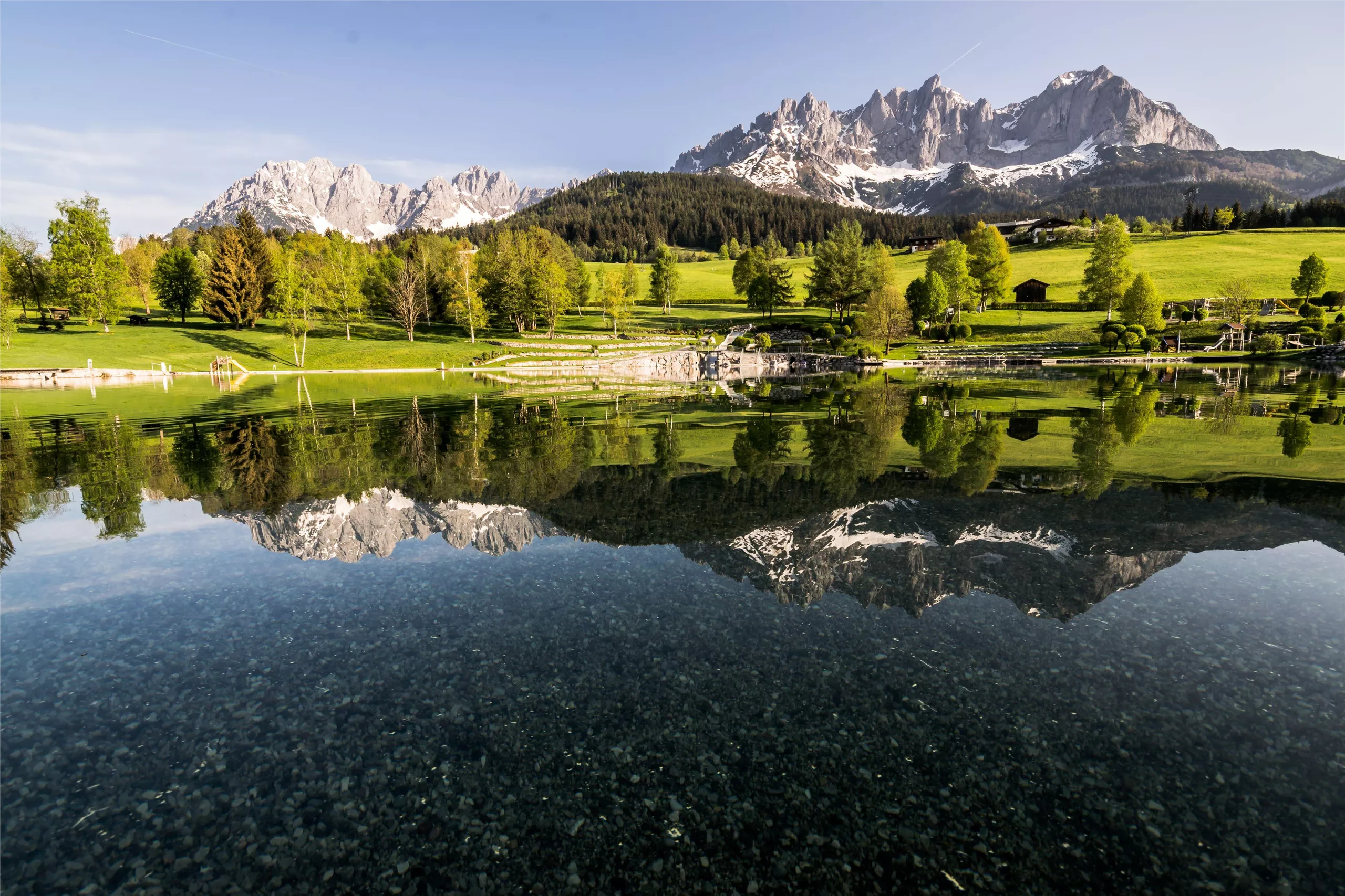
Badesee Going
A bathing lake at Going am Wilden Kaiser at 766 m, a summer swimming spot with playground and beach volleyball under the Kaiser walls.
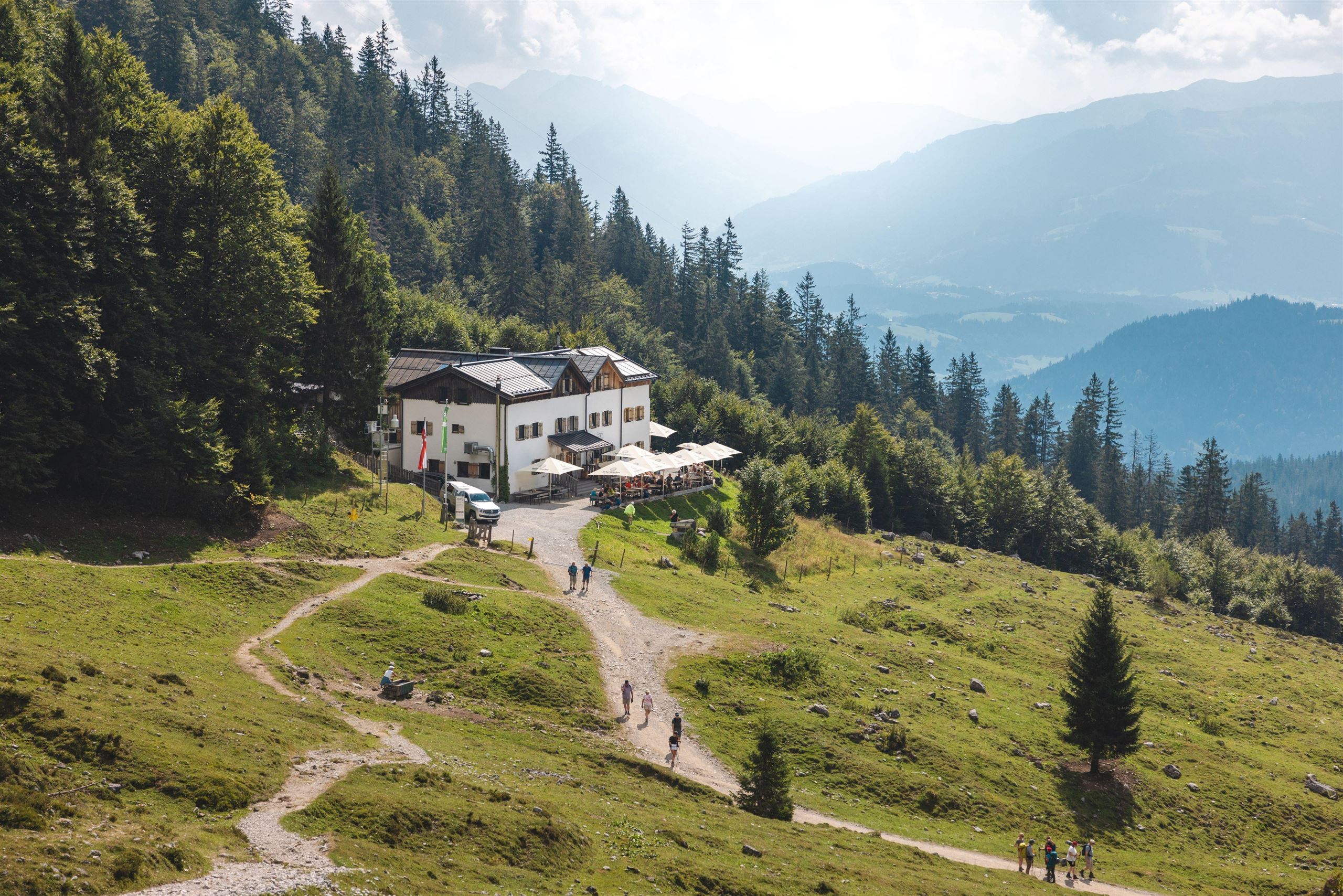
Gaudeamushütte
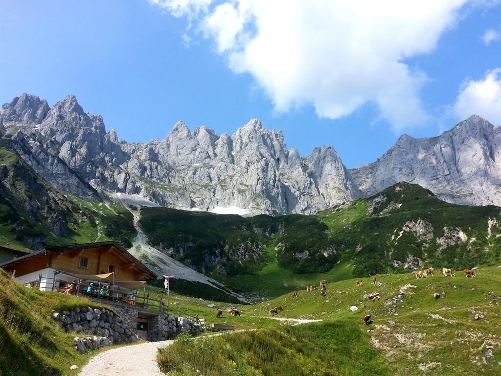
An Alpine Club hut above Going on the south side of the Wilder Kaiser, a base for via ferrata routes and walks towards the high Kaiser summits.
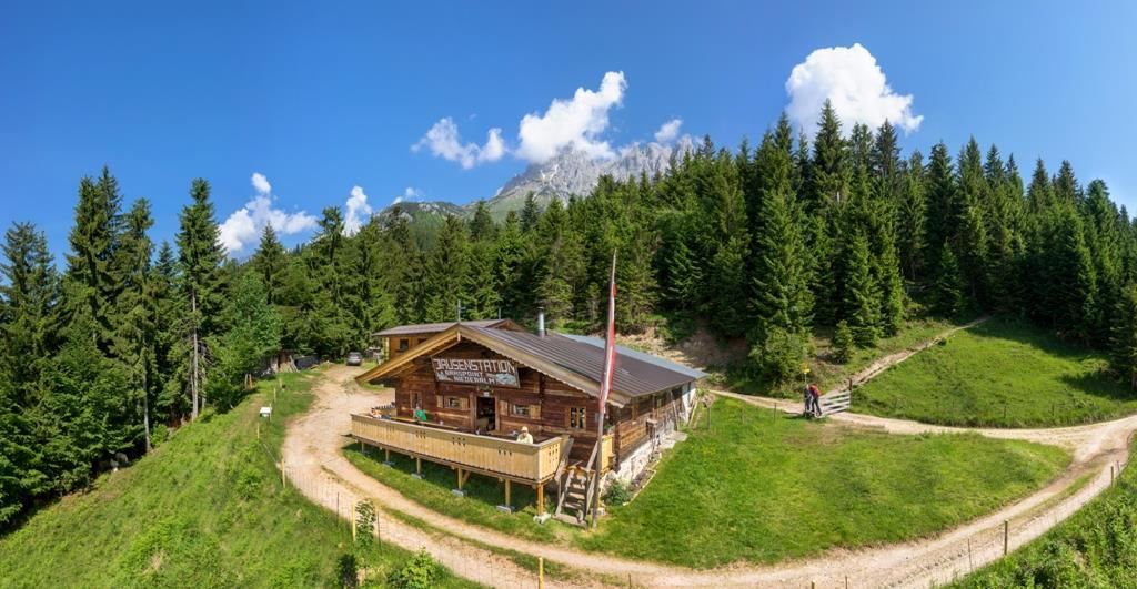
Graspoint Niederalm
A pasture hut at the Graspoint lower pasture above Going, on the trail network beneath the eastern end of the Wilder Kaiser.
Obere Regalm
The upper of the two Regalm pastures above Going, a simple hut stop on the trails under the eastern Wilder Kaiser summits.
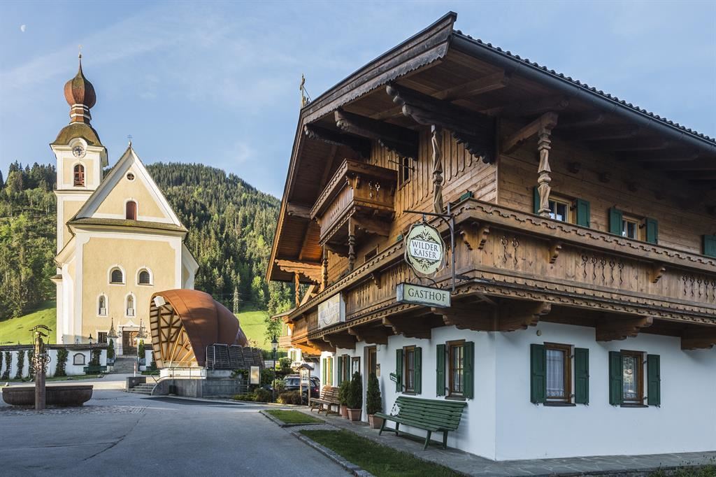
Drehort - Dorfplatz Going
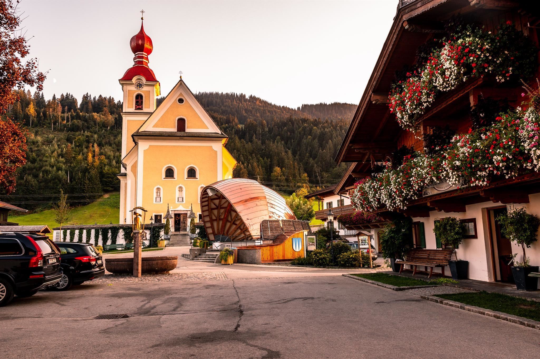
Going's village square, familiar from the TV series Der Bergdoktor, framed by the parish church and old farmhouses at 766 m below the Wilder Kaiser.
Kirchplatz Going
The church square of Going am Wilden Kaiser at 766 m, centred on the village's 18th-century rococo parish church.
Moor & more Erlebniswelt
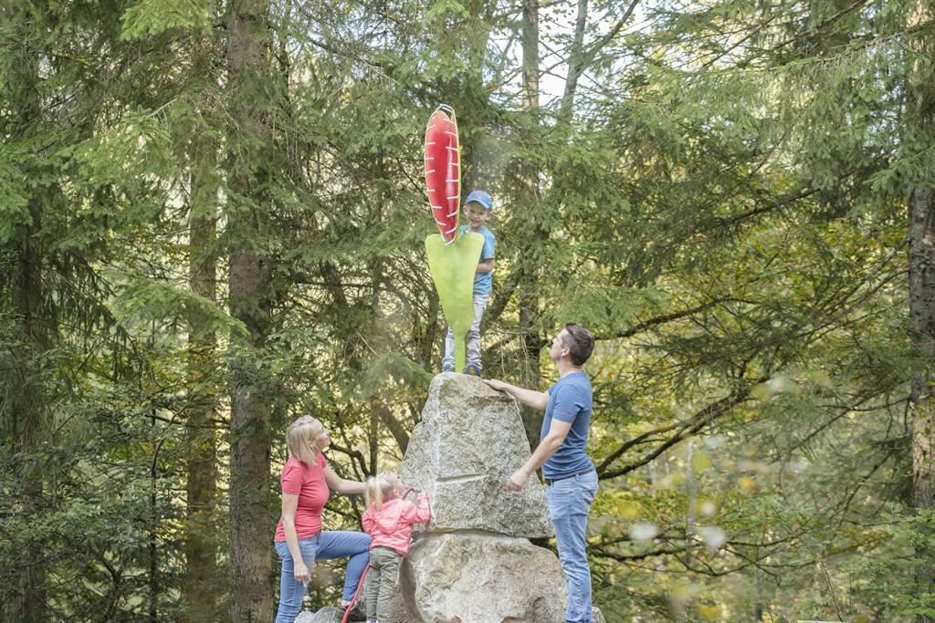
An adventure area in the moorland above Going, where paths, play stations and a moor pool introduce the raised bog landscape.
Jausenstation Hollenauer Kreuz
A snack station at the Hollenauer Kreuz, a wayside cross on the gentle slopes between Going and Ellmau, serving simple alpine fare.
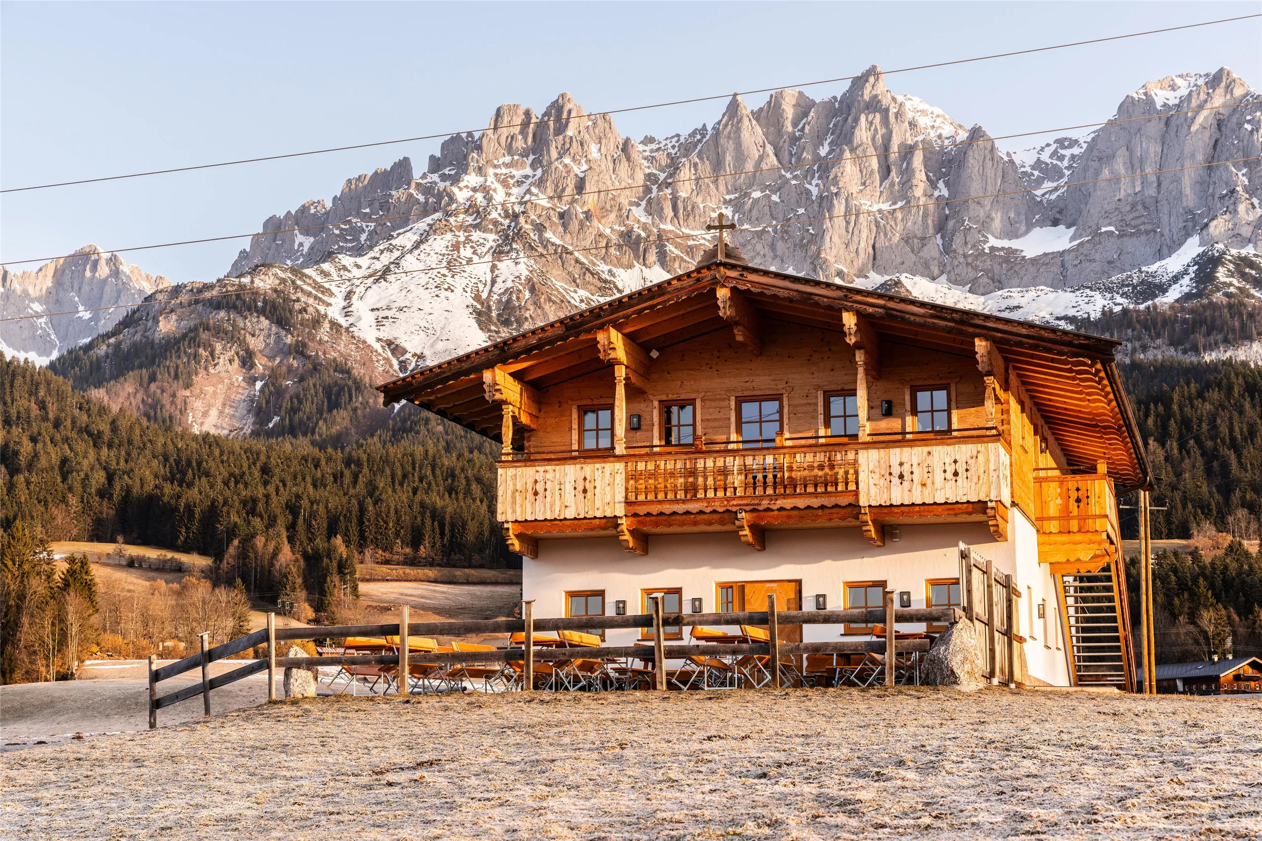
Koasastadl
A hut east of Going whose name joins dialect 'Koasa' (Kaiser) with 'Stadl' (barn), a stop beneath the eastern end of the Wilder Kaiser.
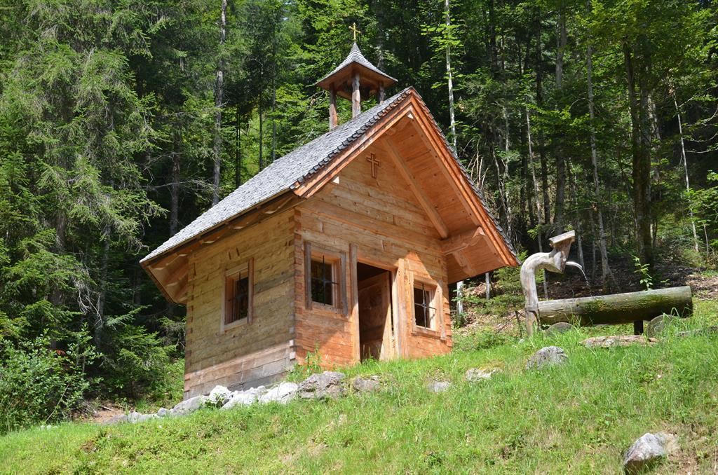
Aschingerkapelle
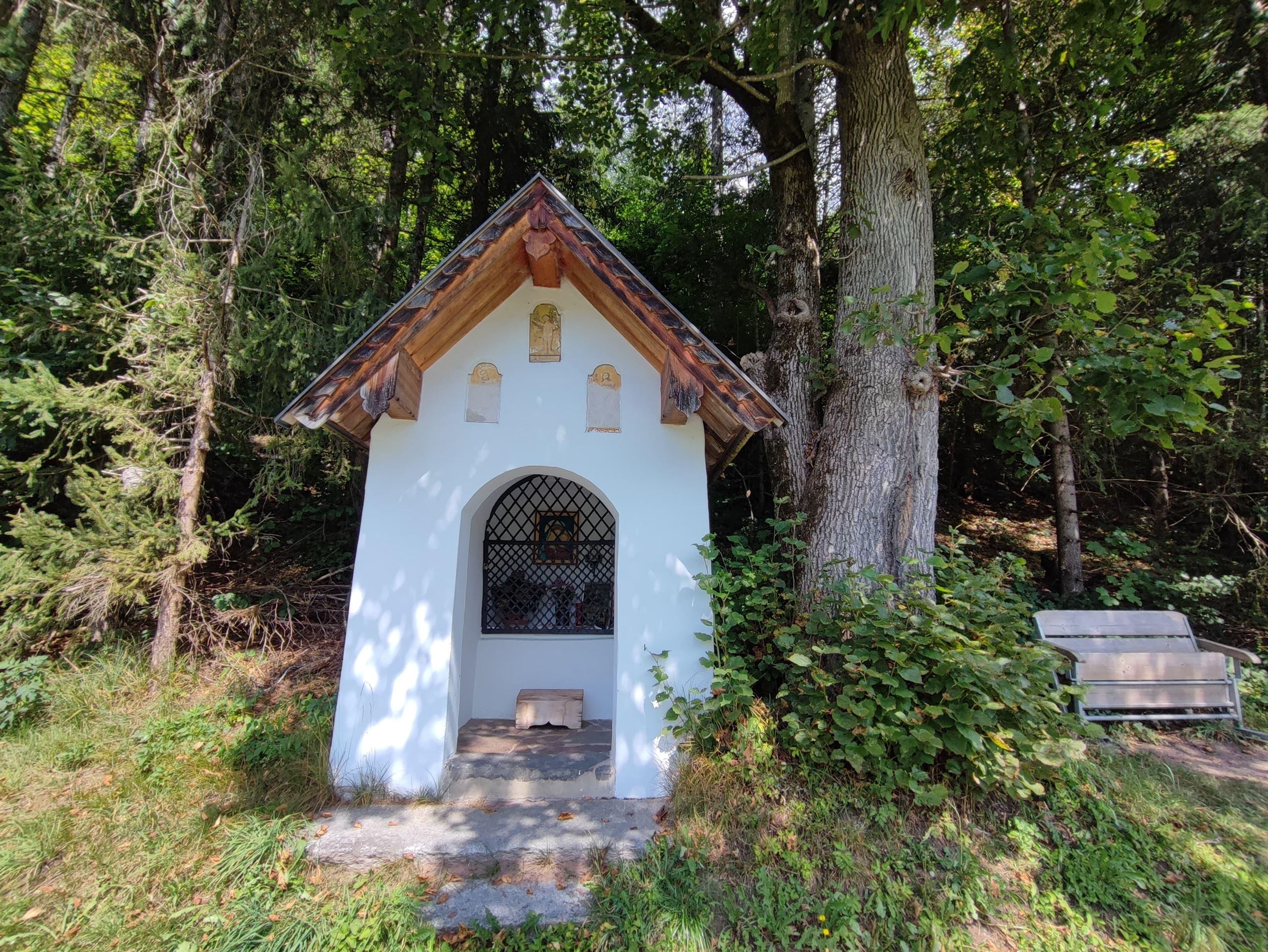
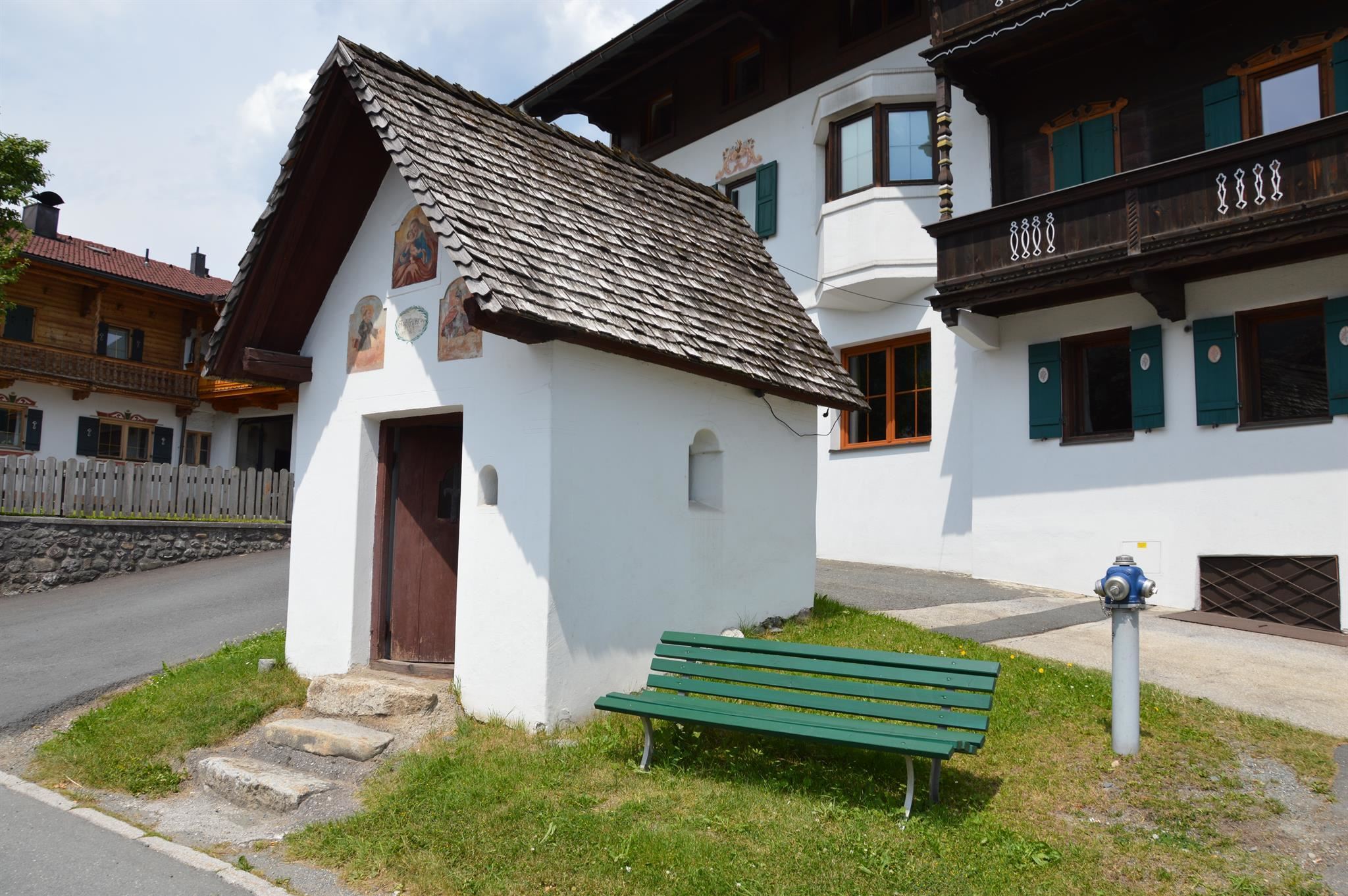
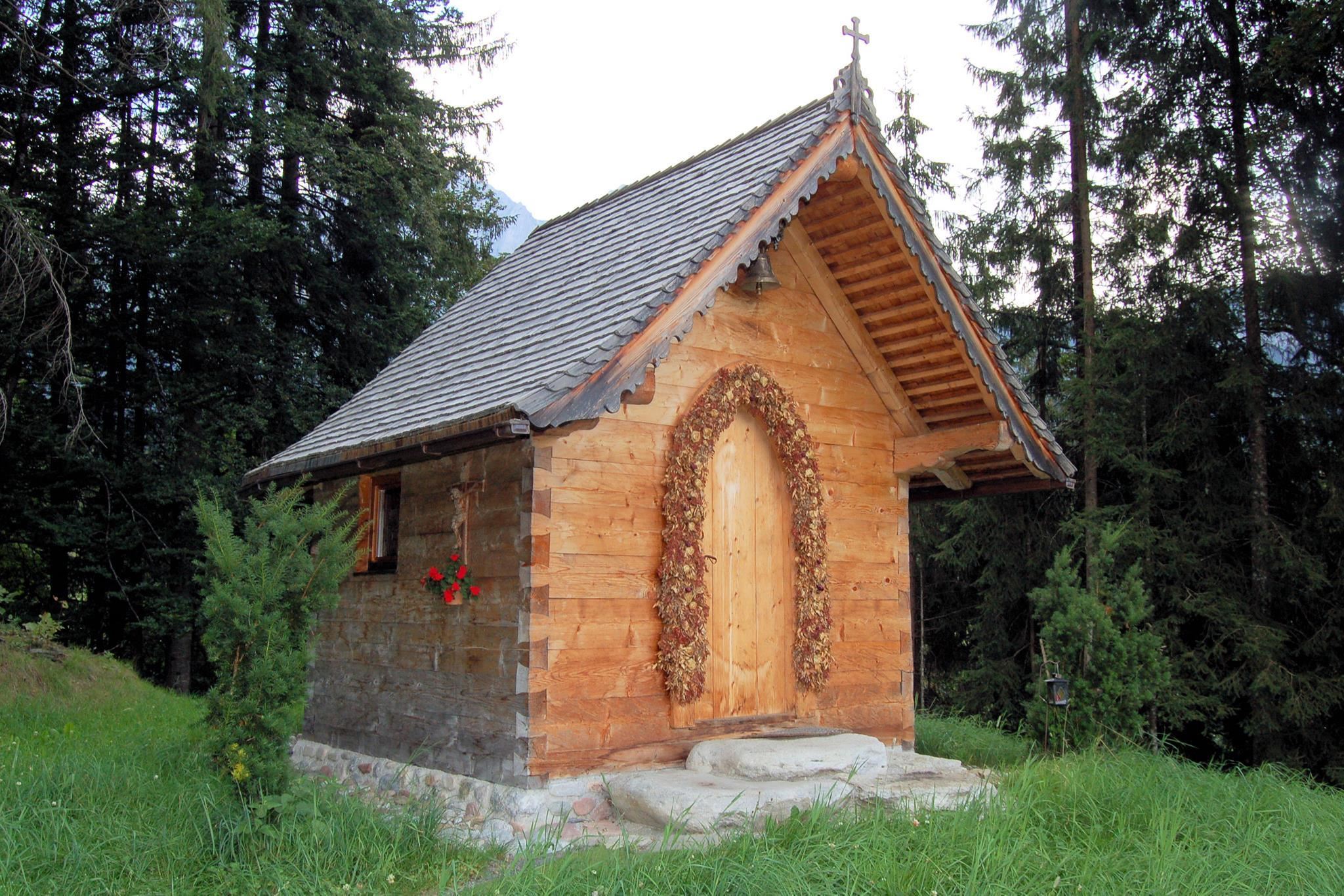
A small chapel among the farms east of Going, one of the many wayside chapels dotted through the Wilder Kaiser meadows.
Blattlkapelle
A small chapel by the Blattl farm between Going and Ellmau, typical of the private farm chapels of the Wilder Kaiser region.
Dorfwirtskapelle
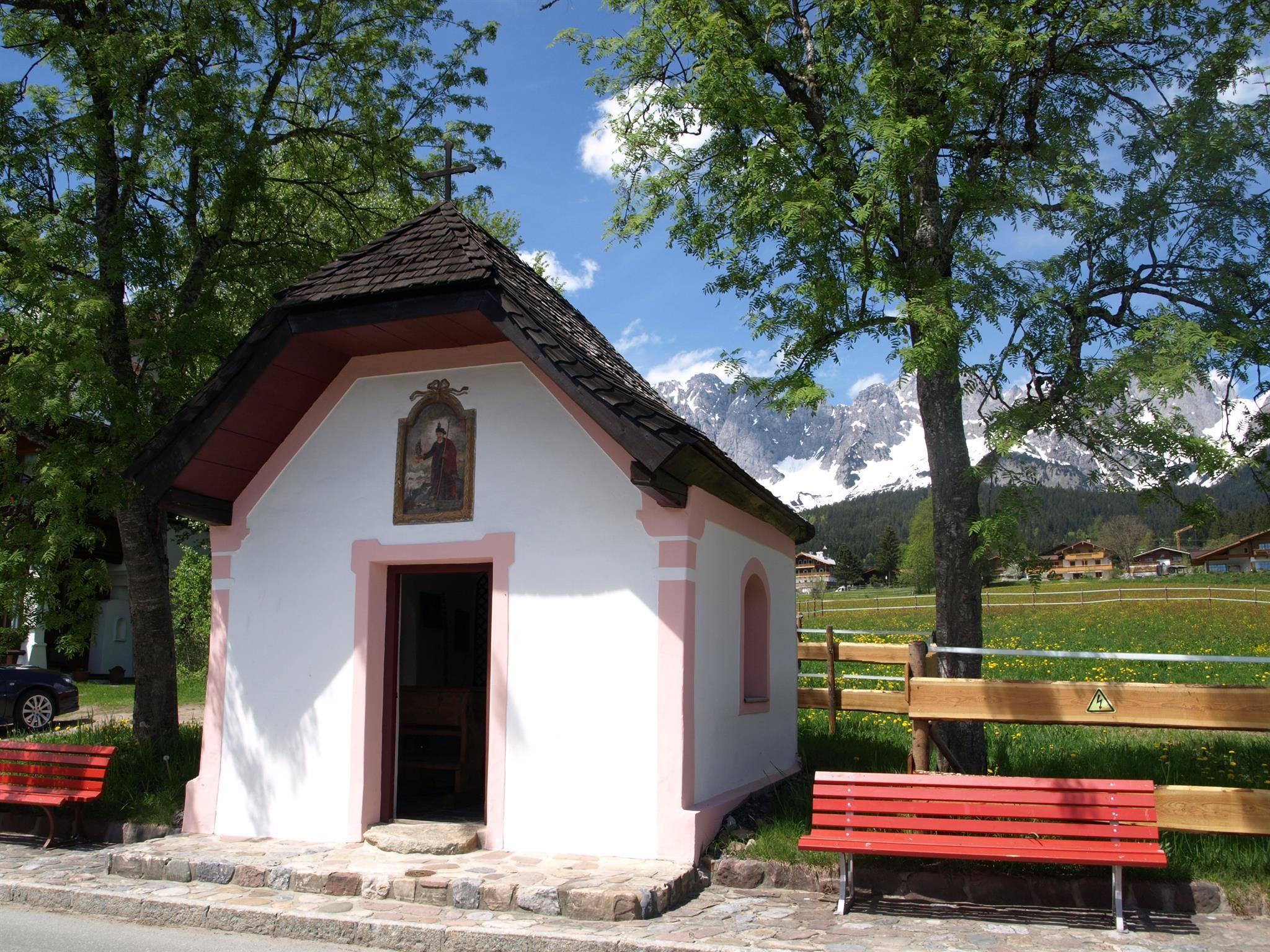
A chapel associated with the village innkeeper's house at Going, one of several small chapels around the village core.
Gottesdienst in Going
Regular church services at Going am Wilden Kaiser, held in the village's rococo parish church of the Holy Cross.
Hoadkapelle
A small field chapel east of Going am Wilden Kaiser, standing among meadows with the Kaiser mountains behind.
Johanneskapelle
A chapel dedicated to St. John on the eastern edge of Going, a small stop on walks towards the east end of the Wilder Kaiser.
Pfarrkirche Going "zum Hl. Kreuz"
Going's rococo parish church of the Holy Cross, an 18th-century building at the heart of the village square.
Pramakapelle
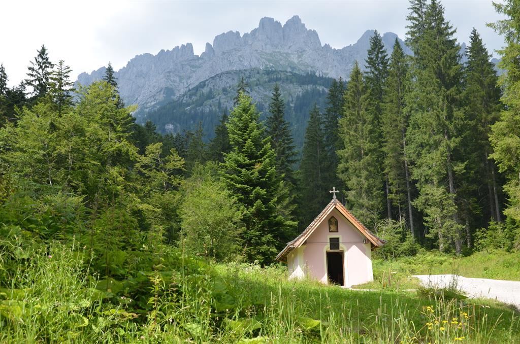
A small chapel in the Prama area north of Going, standing among old farms with views to the Wilder Kaiser.
Tannbichlkapelle
A small chapel at Tannbichl near Going, typical of the farm chapels that dot the meadows below the Wilder Kaiser.
Nothing of this kind in Going am Wilden Kaiser.
Routes
50 routes, an even mix of activities · see the rest on wilderkaiser.info ↗
Klettersteig Klamml
Grade D via ferrata in two sections between the Gaudeamushütte and the Gruttenhütte, joined by a twin-cable bridge and started from the Wochenbrunneralm.
- 5.6 km
- Distance
- 545 m
- Ascent
- 4 h 16 min
- Duration
- 170
- Check-ins
Kaiserschützen Klettersteig
A long day on the north side of the 2,344 m Ellmauer Halt, the highest point of the Wilder Kaiser, with over 2,200 m of ascent by the Rote Rinnscharte.
- 13.0 km
- Distance
- 2 011 m
- Ascent
- 14 h 23 min
- Duration
- 160
- Check-ins
Übungsklettersteig
Beginners' cabled route above the Wochenbrunneralm, short enough to try out technique and equipment close to the Gaudeamushütte.
- 2.0 km
- Distance
- 280 m
- Ascent
- 1 h 21 min
- Duration
- 114
- Check-ins
Gaudeamushütten Runde
Short circuit from the Wochenbrunneralm to the Gaudeamushütte and back, with the rock walls of the Wilder Kaiser directly overhead.
- 3.2 km
- Distance
- 216 m
- Ascent
- 1 h 27 min
- Duration
- 114
- Check-ins
Kaiserkrone - Alternativroute Durchschreitung Ellmauer Tor (Eggersteig)
North-to-south crossing of the range: the Eggersteig and the Steinerne Rinne lead from the Stripsenjochhaus through the Ellmauer Tor and down to the Gaudeamushütte.
- 6.3 km
- Distance
- 645 m
- Ascent
- 4 h 53 min
- Duration
- 182
- Check-ins
Kaiserblüte - Etappe Alm (Astberg-Hartkaiser)
A 25 km high-level link from the Astberg to the Hartkaiser, threading pastures and huts such as the Blattlalm and the Rübezahlalm with the Wilder Kaiser opposite.
- 25.1 km
- Distance
- 1 102 m
- Ascent
- 8 h 36 min
- Duration
- 185
- Check-ins
Skitourengebiet Wilder Kaiser
Ski-touring terrain around the Stripsenjoch in the Wilder Kaiser, combining steep couloirs with long approaches; linking the main lines stacks up over 3,000 m of climbing.
- 19.2 km
- Distance
- 3 122 m
- Ascent
- 3 122 m
- Descent
- 10 h 30 min
- Duration
- 43
- Check-ins
Radtour Wochenbrunner Alm
A short forest-road climb from the valley at Ellmau up to the Wochenbrunneralm, gaining 260 m in a little under 5 km.
- 4.8 km
- Distance
- 292 m
- Ascent
- 36 min
- Duration
- 80
- Check-ins
MTB-Tour 272 Obere Regalm
A steady ascent from the valley at Going to the alpine pasture of Obere Regalm, which sits at 1,300 m above the village.
- 7.3 km
- Distance
- 570 m
- Ascent
- 1 h 1 min
- Duration
- 7
- Check-ins
Bergdoktor E-Bike Tour
A long forest-road tour from Ellmau through Going, taking in the Bärnstattalm, the Sojerhof and the Jausenstation Goingstätt.
- 50.9 km
- Distance
- 1 013 m
- Ascent
- 5 h 28 min
- Duration
- 49
- Check-ins
26 | Radweg Reith bei Kitzbühel
A short, nearly flat cycle path looping around the village and its meadows, starting at the tourist information centre.
- 9.1 km
- Distance
- 98 m
- Ascent
- 54 min
- Duration
- 4
- Check-ins
21,14 | Salvenradrunde
A long circuit of the Hohe Salve on cycle paths and valley roads, linking the Brixental with Ellmau on the Wilder Kaiser side.
- 53.9 km
- Distance
- 687 m
- Ascent
- 5 h 25 min
- Duration
- 32
- Check-ins
Auf die Gaudeamushütte
Short walk up from the Wochenbrunneralm to the Gaudeamushütte at the foot of the Wilder Kaiser, 175 m of climbing.
- 1.3 km
- Distance
- 175 m
- Ascent
- 42 min
- Duration
- 92
- Check-ins
Gruttenhütte über Klammlweg
The most adventurous way up to the Gruttenhütte, the highest hut on the Wilder Kaiser, taking the Klammlweg from the Gaudeamushütte.
- 5.5 km
- Distance
- 550 m
- Ascent
- 3 h 23 min
- Duration
- 170
- Check-ins
Gipfeltour Ellmauer Halt
The highest summit of the Wilder Kaiser by the Gamsängersteig: the climbing is easy and mostly secured with cable and pegs, but a via ferrata set is sensible if you are new to it.
- 9.3 km
- Distance
- 1 301 m
- Ascent
- 7 h 34 min
- Duration
- 181
- Check-ins
272 | Obere Regalm
A forest-road climb out of Going am Wilden Kaiser up to the Obere Regalm at 1,300 m, gaining over 600 m in barely 7 km.
- 7.3 km
- Distance
- 611 m
- Ascent
- 1 h 29 min
- Duration
- 7
- Check-ins
Marktplatz Radtour
A long, gently graded tour on tracks and back roads between the villages below the Wilder Kaiser, from Scheffau past the Bärnstattalm.
- 52.4 km
- Distance
- 1 003 m
- Ascent
- 5 h 35 min
- Duration
- 37
- Check-ins
7 Rund um die Hohe Salve
A valley-road loop right around the Hohe Salve massif, running by way of Kitzbühel, Ellmau and Hopfgarten in the Brixental.
- 57.5 km
- Distance
- 765 m
- Ascent
- 5 h 49 min
- Duration
- 31
- Check-ins
Wochenbrunn-Weg mit Spatlahner-Klamm
Walk from the centre of Ellmau on path 14 through the Spatlahner-Klamm gorge and up to the Wochenbrunneralm.
- 4.4 km
- Distance
- 289 m
- Ascent
- 1 h 29 min
- Duration
- 80
- Check-ins
Jubiläumssteig
Traverse between the Gruttenhütte and the Gaudeamushütte beneath the towers, caves and rock balconies that give this face its 'Wildes Schloss' nickname.
- 6.5 km
- Distance
- 716 m
- Ascent
- 4 h 20 min
- Duration
- 170
- Check-ins
3-Tage Hüttentour - Gesamtverlauf
Three-day hut traverse of the Wilder Kaiser from Going to Scheffau, taking in the Schleierwasserfall, the Gaudeamushütte, the Ellmauer Tor, the Hintere Goinger Halt and the Gruttenhütte.
- 24.6 km
- Distance
- 2 210 m
- Ascent
- 14 h 2 min
- Duration
- 174
- Check-ins
Radtour Hollenauer Kreuz
A short forest-road climb from Going to the Jausenstation Hollenauer Kreuz at 1,023 m, some 350 m above the valley.
- 7.5 km
- Distance
- 322 m
- Ascent
- 53 min
- Duration
- 5
- Check-ins
Salvenradrunde
A long, mostly flat circuit of the Hohe Salve on valley roads, linking Westendorf, Brixen im Thale and Ellmau at around 800 m.
- 62.4 km
- Distance
- 644 m
- Ascent
- 6 h 9 min
- Duration
- 23
- Check-ins
8 Rund um den Wilden Kaiser
A long road circuit of the Wilder Kaiser from Ellmau, running out to Walchsee and back by way of Kitzbühel and the Ellmauer Alm.
- 87.9 km
- Distance
- 1 199 m
- Ascent
- 8 h 56 min
- Duration
- 31
- Check-ins
Ellmauer Steinkreis Runde
Easy woodland round from the Wochenbrunneralm to the stone circle above Ellmau, a quiet place to sit for a while.
- 2.4 km
- Distance
- 113 m
- Ascent
- 52 min
- Duration
- 76
- Check-ins
Rundwanderung zur Gruttenhütte
Circuit to the Gruttenhütte, the highest hut on the Wilder Kaiser, returning by the Gaudeamushütte to the Wochenbrunneralm.
- 14.2 km
- Distance
- 868 m
- Ascent
- 5 h 58 min
- Duration
- 170
- Check-ins
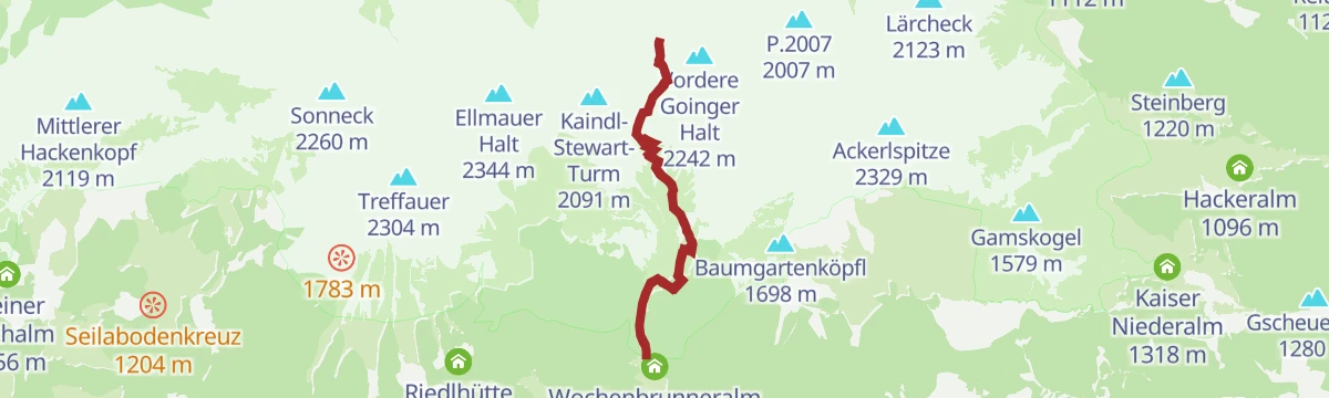
Hintere Goinger Halt
From the Wochenbrunneralm above Ellmau, past the Gaudeamushuette and up scree to the Ellmauer Tor, then a blocky final scramble to one of the Wilder Kaiser's most attainable summits.
- 8.9 km
- Distance
- 1 104 m
- Ascent
- 6 h 32 min
- Duration
- 156
- Check-ins
Schleierwasserfall
A 15 km mountain-bike outing from St. Johann in Tirol, climbing some 600 m to the waterfall the route is named for.
- 15.0 km
- Distance
- 590 m
- Ascent
- 1 h 53 min
- Duration
- 1
- Check-ins
Sölllandlradrunde
A rolling circuit on farm tracks and quiet lanes linking Scheffau, Ellmau and the villages west of it, past the Ellmauer Alm at 795 m.
- 38.0 km
- Distance
- 547 m
- Ascent
- 3 h 53 min
- Duration
- 21
- Check-ins
Salvenradrunde
A road and cycle-path round of the Hohe Salve from Hopfgarten, passing the Ellmauer Alm and the Waldhof Alm on the way.
- 62.7 km
- Distance
- 1 034 m
- Ascent
- 6 h 32 min
- Duration
- 31
- Check-ins
Graspoint-Niederalm Winterwanderweg
Winter walking route in towards the Wilder Kaiser, ending at the Graspoint Niederalm for a break before the return.
- 5.7 km
- Distance
- 262 m
- Ascent
- 1 h 59 min
- Duration
- 7
- Check-ins
Ellmauer Tor
Steep approach from the Wochenbrunneralm by way of the Gaudeamushütte into the rock gateway of the Ellmauer Tor, 900 m above the start.
- 8.1 km
- Distance
- 890 m
- Ascent
- 5 h 23 min
- Duration
- 133
- Check-ins
Gipfeltour Hintere Goinger Halt
Ascent through the Ellmauer Tor to the Hintere Goinger Halt at 2,193 m, reckoned the most straightforward summit to reach in the Kaiser.
- 9.3 km
- Distance
- 1 089 m
- Ascent
- 6 h 31 min
- Duration
- 146
- Check-ins
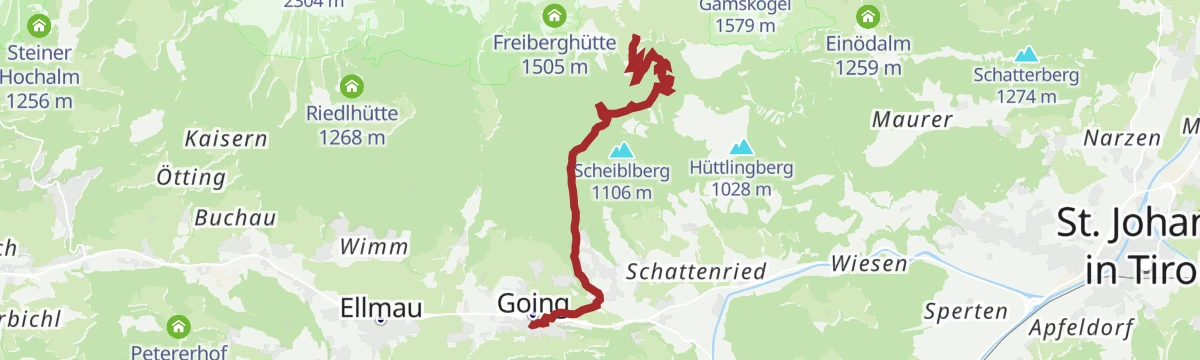
MTB-Tour 271 Schleierwasserfall
A short mountain-bike ascent from Going, gaining just over 400 m on the way to the Schleierwasserfall below the Hüttlingberg.
- 6.5 km
- Distance
- 388 m
- Ascent
- 50 min
- Duration
Radwanderweg Wilder Kaiser Nr. 14
A waymarked route along the southern foot of the Wilder Kaiser, from the Inn valley at Bruckhäusl up to Ellmau at around 800 m.
- 38.1 km
- Distance
- 473 m
- Ascent
- 3 h 46 min
- Duration
- 17
- Check-ins
Kaiserradrunde
An eighty-five-kilometre circuit of the Wilder Kaiser on cycle paths and quiet roads, passing Ellmau and the villages on each side of the range.
- 85.5 km
- Distance
- 1 116 m
- Ascent
- 8 h 38 min
- Duration
- 28
- Check-ins
Aschauer Sonnseit Winterrunde
Short winter round over snowy meadows on Going's sunny side, passing the bathing lake and the Forsthaus Mühleggl.
- 3.9 km
- Distance
- 61 m
- Ascent
- 1 h 4 min
- Duration
- 6
- Check-ins
Kaiserkrone - Zustieg/Abstieg Ellmau, Wochenbrunner Alm-Gruttenhütte
Direct link on the Kaiserkrone circuit: 530 m of climbing in 2.6 km from the Wochenbrunneralm up to the Gruttenhütte.
- 2.6 km
- Distance
- 529 m
- Ascent
- 1 h 57 min
- Duration
- 110
- Check-ins
Durchschreitung Ellmauer Tor über Eggersteig
From the Griesner Alm up the Steinerne Rinne on the Eggersteig into the Ellmauer Tor, then down the southern side to the Wochenbrunneralm.
- 8.4 km
- Distance
- 1 112 m
- Ascent
- 6 h 20 min
- Duration
- 143
- Check-ins
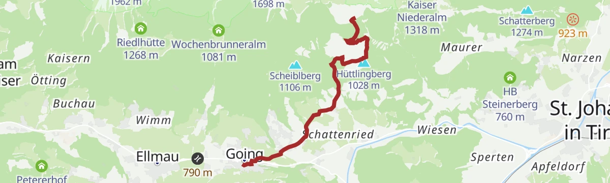
271 | Schleierwasserfall
A climb out of Going on the Hüttlingberg, heading up towards the Schleierwasserfall on the Wilder Kaiser side of the valley.
- 6.6 km
- Distance
- 448 m
- Ascent
- 1 h 8 min
- Duration
MTB-Tour 273 Kathenrunde
A loop between Going and Ellmau below the Astberg, climbing to the Sonnenschwendt chalets at around 1,100 m before dropping back.
- 17.6 km
- Distance
- 578 m
- Ascent
- 2 h 5 min
- Duration
- 13
- Check-ins
Rund um die Hohe Salve Grand Tour
The long version of the loop around the Salve massif, taking in Ellmau and the villages of the Brixental over more than 80 km.
- 84.8 km
- Distance
- 1 044 m
- Ascent
- 8 h 31 min
- Duration
- 28
- Check-ins
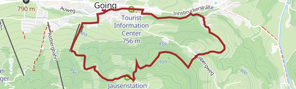
Hollenauer Kreuz Runde
Easy loop from Going up to the Jausenstation Hollenauer Kreuz, which sits in the front row facing the Wilder Kaiser.
- 5.7 km
- Distance
- 281 m
- Ascent
- 2 h 4 min
- Duration
- 5
- Check-ins
Sonnseit Runde (Nr. 14)
Circuit from the centre of Ellmau on path 14 up to the Wochenbrunneralm and the Ellmauer stone circle, facing the Kaiser walls.
- 13.5 km
- Distance
- 539 m
- Ascent
- 4 h 29 min
- Duration
- 83
- Check-ins
Ellmauer Tor über Griesner Alm und Eggersteig
A demanding Wilder Kaiser day from the Griesner Alm up the cable-secured Eggersteig to the rocky notch between the Goinger Halt summits; sure-footedness and a head for heights are essential.
- 8.0 km
- Distance
- 1 035 m
- Ascent
- 6 h 5 min
- Duration
- 143
- Check-ins
273 | Kathenrunde
A forest-road round from Reith bei Kitzbühel up towards Sonnenschwendt at nearly 1,100 m, returning past the Astberg lift.
- 15.2 km
- Distance
- 540 m
- Ascent
- 1 h 51 min
- Duration
- 13
- Check-ins
T2 | Kaiserradrunde
A signposted long-distance loop around the Kaisergebirge, running through Ellmau and the neighbouring villages on mostly gentle terrain.
- 85.3 km
- Distance
- 1 131 m
- Ascent
- 8 h 38 min
- Duration
- 28
- Check-ins
Badesee Rundweg
Level valley round about the village of Going am Wilden Kaiser, passing the bathing lake where you can cool off in warm weather.
- 6.4 km
- Distance
- 48 m
- Ascent
- 1 h 37 min
- Duration
- 4
- Check-ins
Wochenbrunn Winterwanderweg
Winter route through snowy forest up to the wildlife park by the Wochenbrunneralm above Ellmau.
- 9.0 km
- Distance
- 299 m
- Ascent
- 2 h 50 min
- Duration
- 80
- Check-ins
Kaiserblüte - Etappe Fels
Long stage into the rock zone of the Kaiser, crossing scree and rock-set paths to the Gruttenkreuz below the walls before the drop to Scheffau.
- 22.1 km
- Distance
- 1 072 m
- Ascent
- 7 h 56 min
- Duration
- 142
- Check-ins
No routes of this kind in Going am Wilden Kaiser yet.
The region's own picks

Featured route
Gaudeamushütten Runde
Short circuit from the Wochenbrunneralm to the Gaudeamushütte and back, with the rock walls of the Wilder Kaiser directly overhead.
Planning a trip to Going am Wilden Kaiser?
Everything else Tyrol has, in one place


Take Going am Wilden Kaiser with you into the mountains
Every route on this page with 3D terrain, GPX navigation and offline maps — including the valleys with no signal.
Data sources
- Official website: wilderkaiser.info ↗
- Routes and highlights: Wilder Kaiser Tourismus, Kitzbüheler Alpen Tourismus, Kitzbühel Tourismus, Kufsteinerland
- Published as open data by the tourist boards named above.
- Region summary generated from the board's own material.
