
Curated by Monterosa Outdoor
Gaby
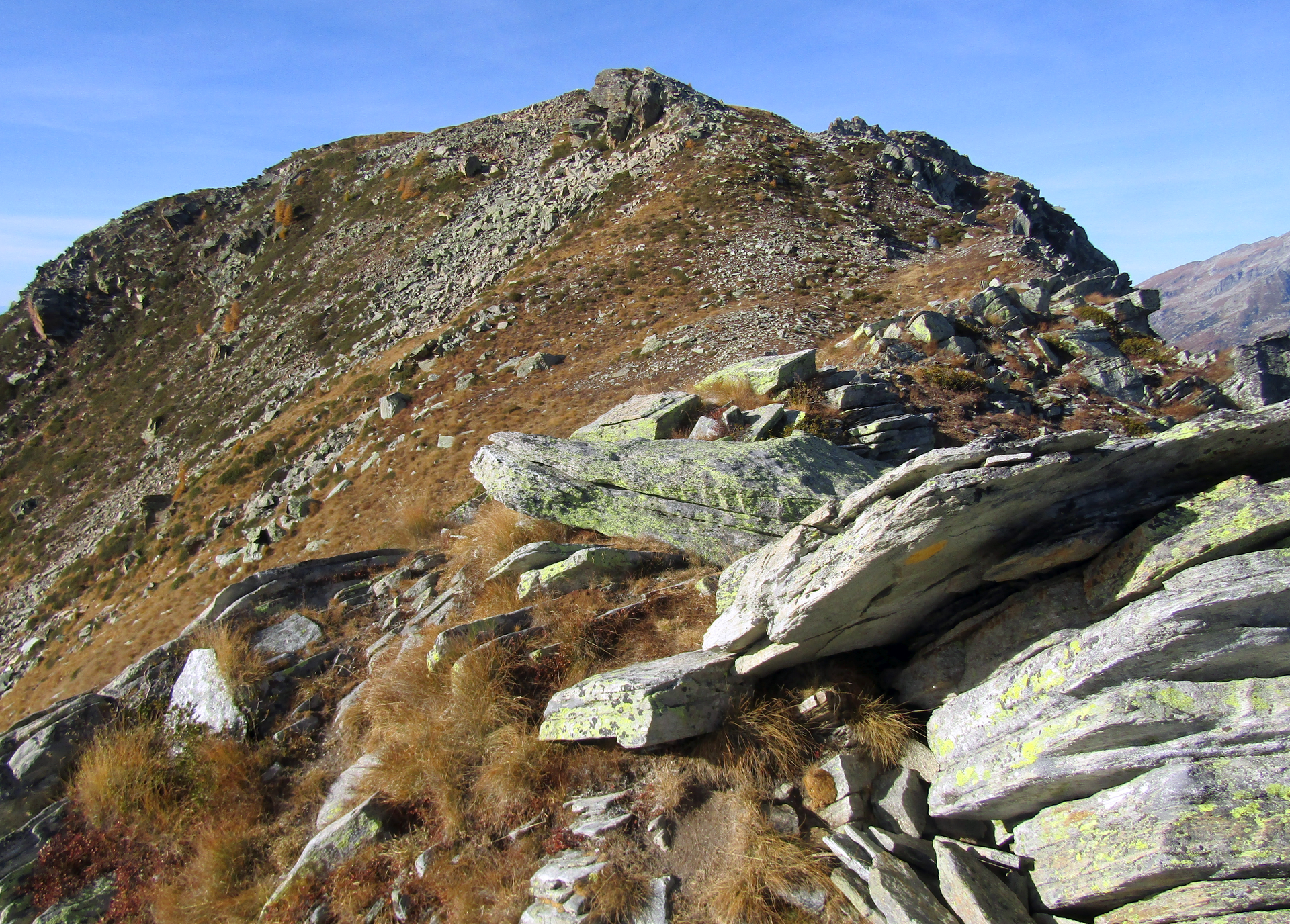
Walser village in the Lys valley, where a Germanic dialect is still spoken below the Monte Rosa peaks.
Photo: Pampuco · CC BY-SA 4.0 licence
- 12Highlights
- 15Routes
Highlights
All 12 from neighbouring places
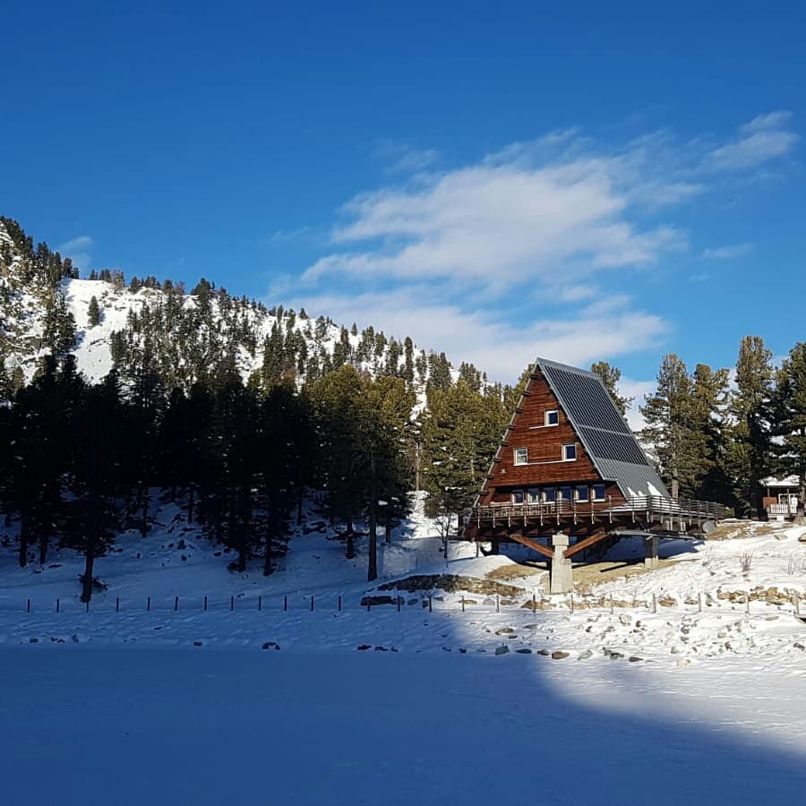
Casa Capriata-Rifugio Carlo Mollino
6.3 km away, in Gressoney-Saint-Jean
A hut in the Weissmatten ski area above 2,000 m, the Casa Capriata designed by the architect Carlo Mollino.
Castel Savoia
7.6 km away, in Gressoney-Saint-Jean
The fairytale residence built from 1899 for Queen Margherita above Gressoney-Saint-Jean, with five towers and its own park.
Lago Gover
9 km away, in Gressoney-Saint-Jean
A small lake in old conifer woods above Gressoney-Saint-Jean, with the Monte Rosa summits reflected on clear days.
Castello di Graines
10.7 km away, in Brusson
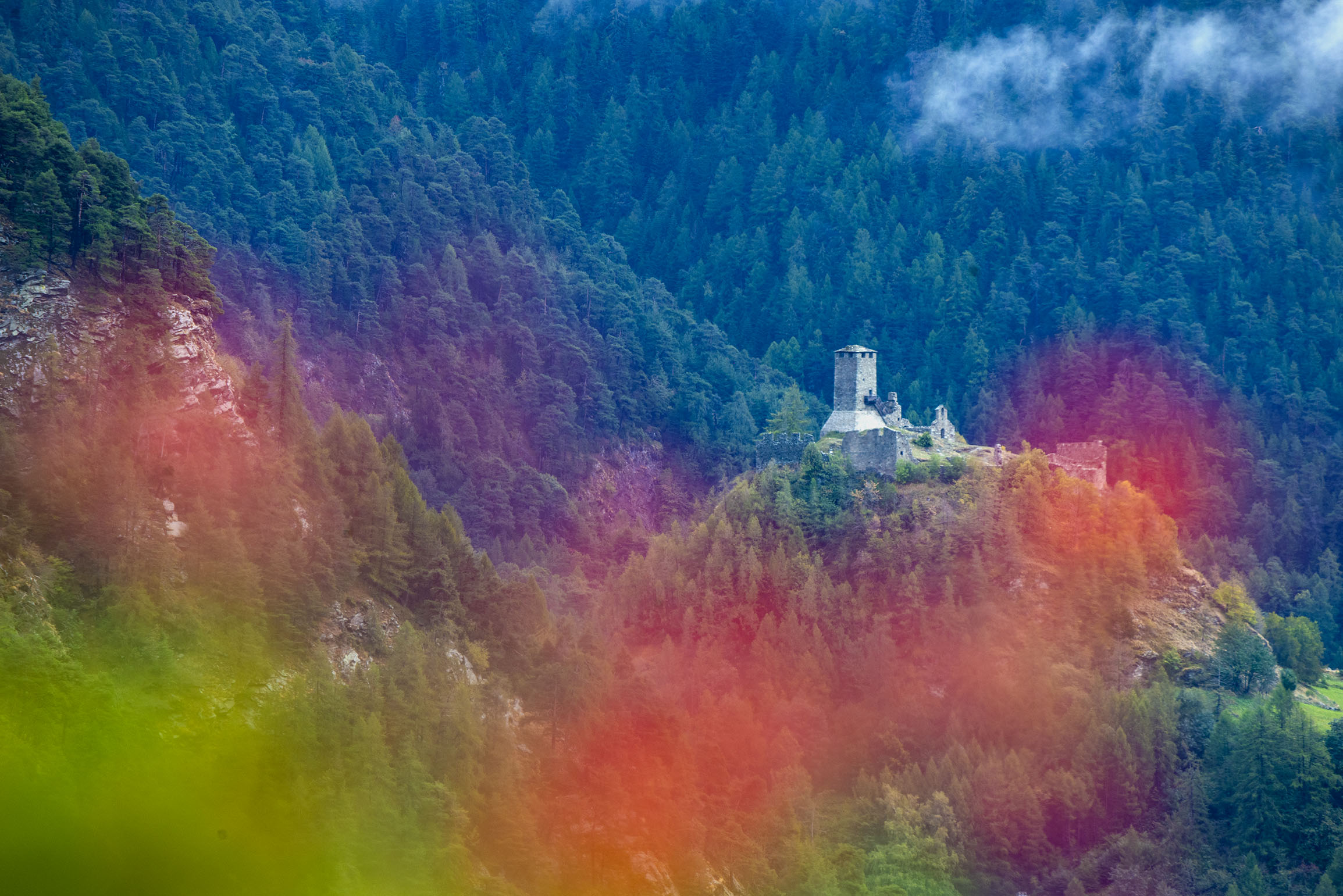
An eleventh-century castle of the primitive type on a rock spur above Brusson, one of the oldest in the Valle d'Aosta.
Laghi di Palasinaz
11.6 km away, in Brusson
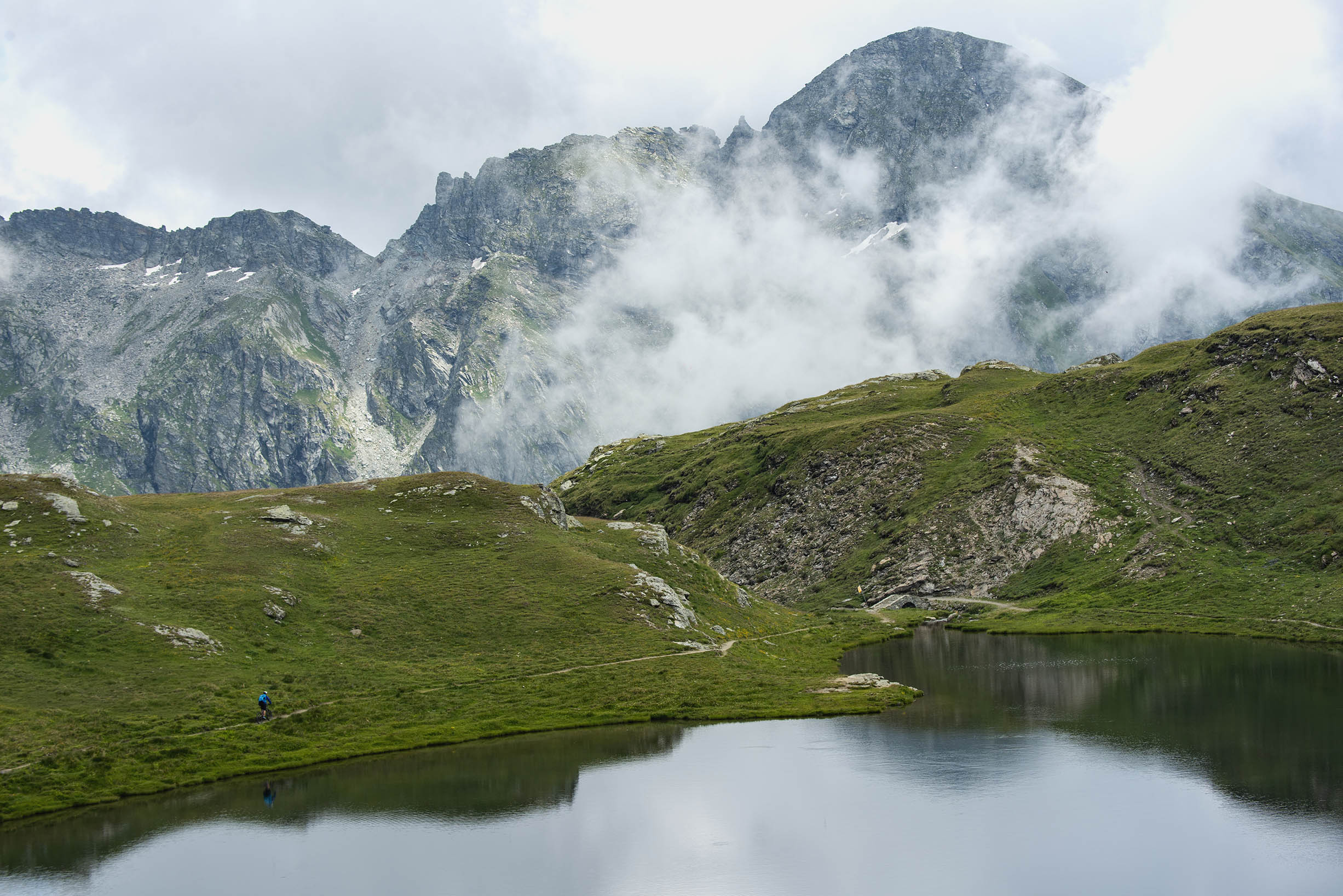
Seven small lakes in the Palasinaz basin above Brusson, a long-standing walking round of the Val d'Ayas.
Rifugio Arp
12.1 km away, in Brusson
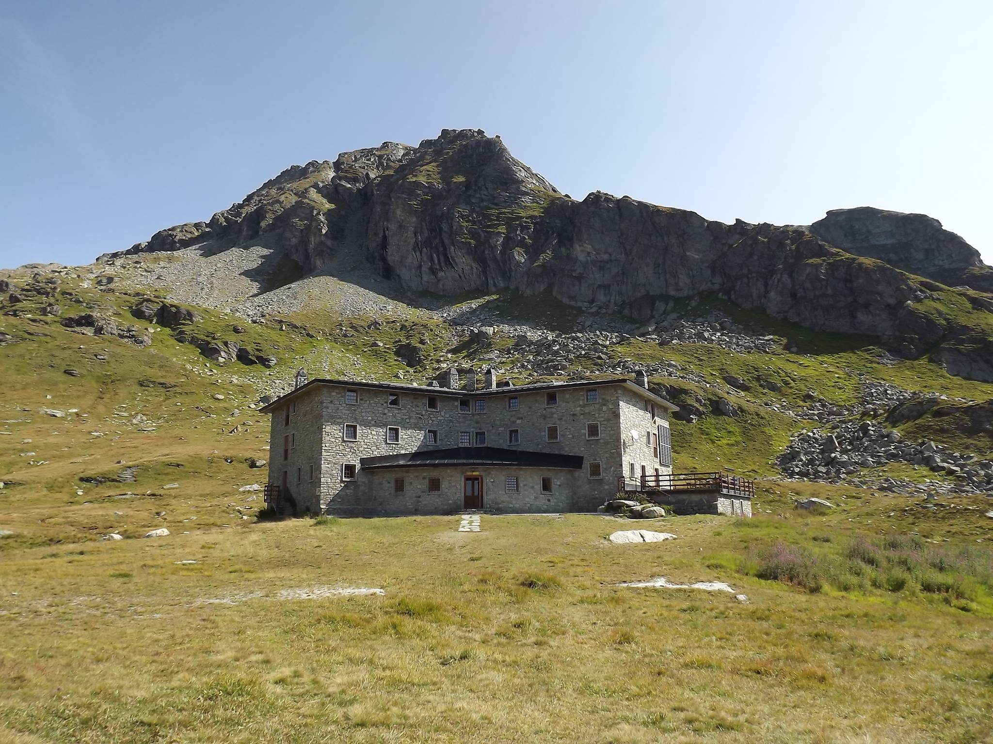
A hut at 2,446 m on a grass terrace in the Palasinaz valley, among its lakes above Brusson.
Miniere di Brusson
12.1 km away, in Brusson
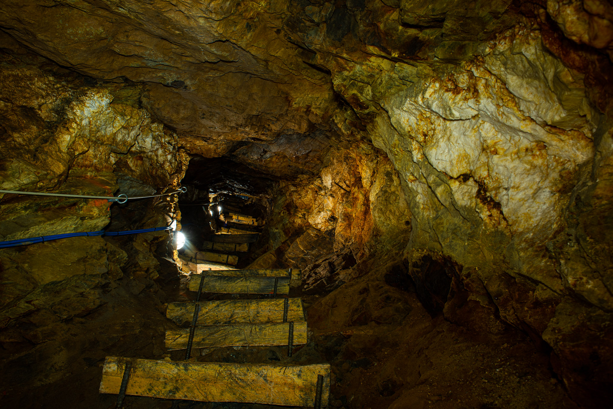
Gold workings in the Val d'Ayas at Brusson, driven along the Chamousira vein and open underground.
Chiesa di San Maurizio
13.1 km away, in Brusson
The church of San Maurizio in upper Brusson, built between 1870 and 1873 to a design by Giuseppe Lancia.
Lago di Brusson
14.1 km away, in Brusson
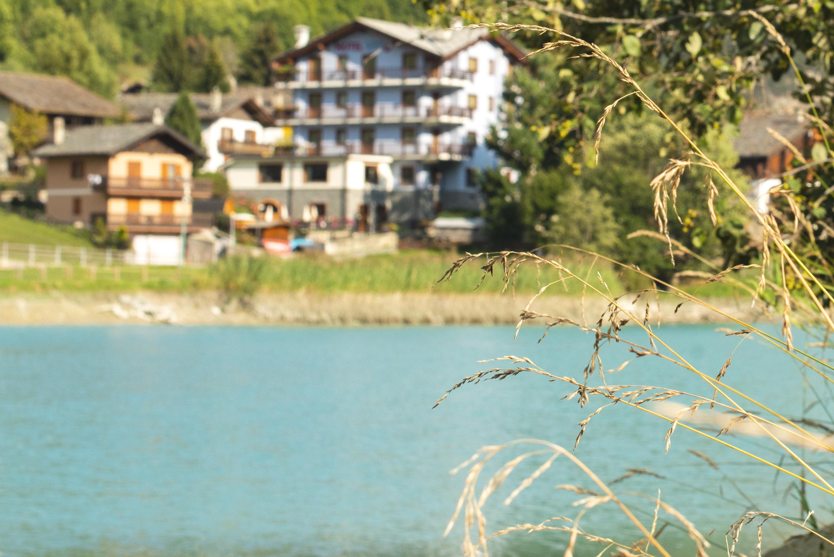
A lake among meadows at Brusson, with a lakeside path and playground on its shore.
Ecomuseo Walser
13.9 km away, in Gressoney-La-Trinité
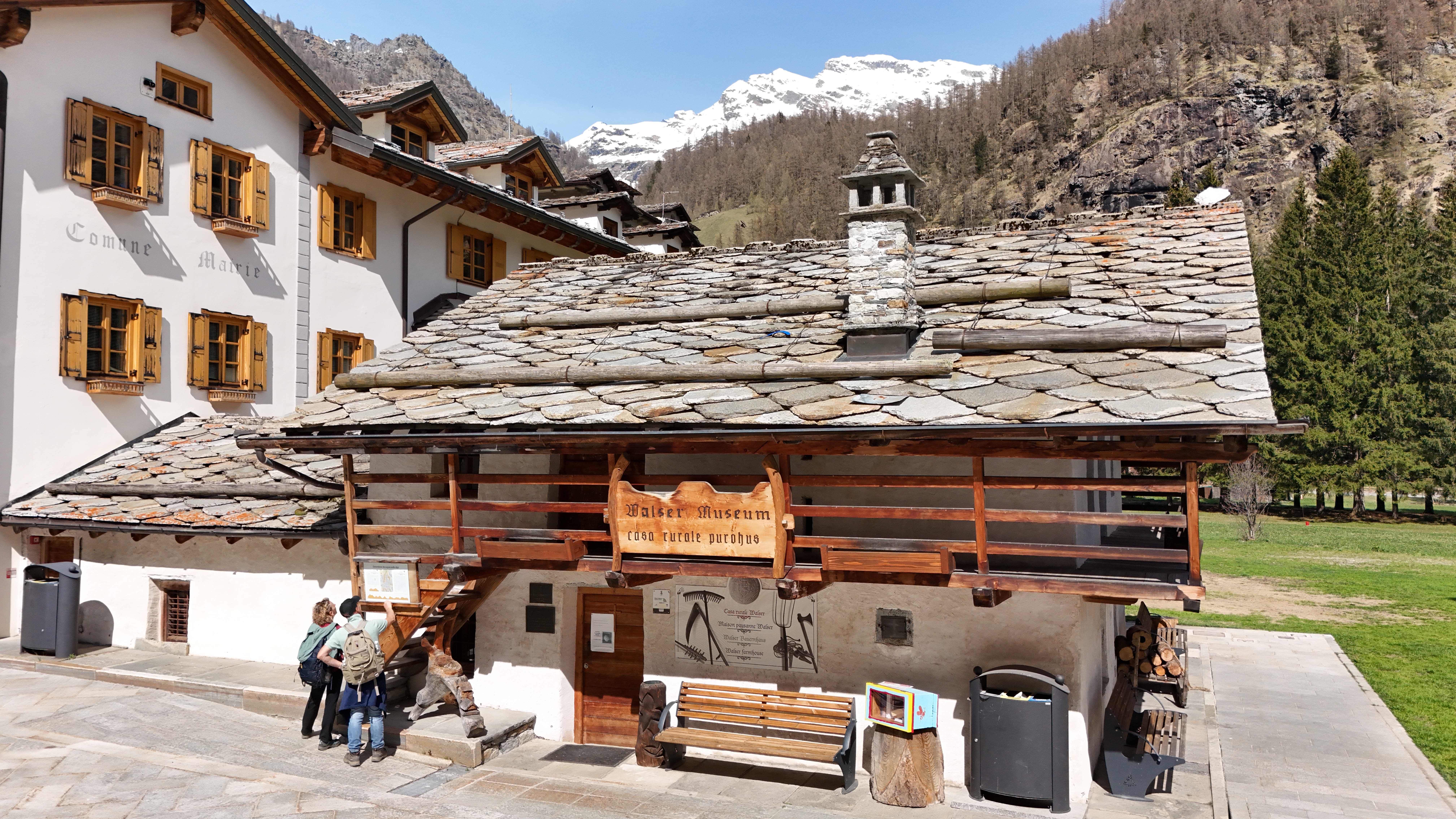
A Walser house at Gressoney kept as it was lived in, with the timber gallery and stone roof of the Lys valley.
La Chiesa di Riva Valdobbia
14.7 km away, in Alagna Valsesia
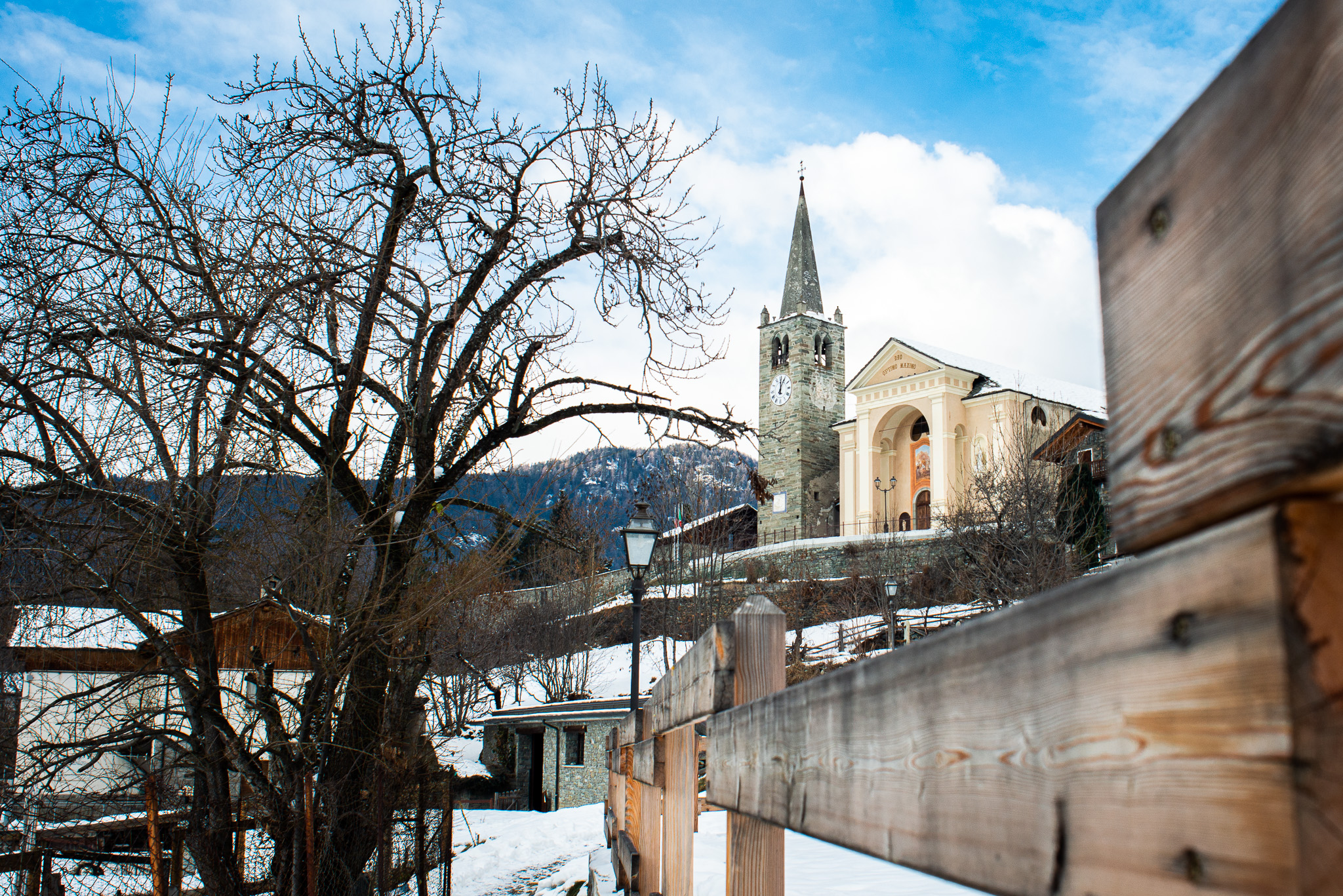
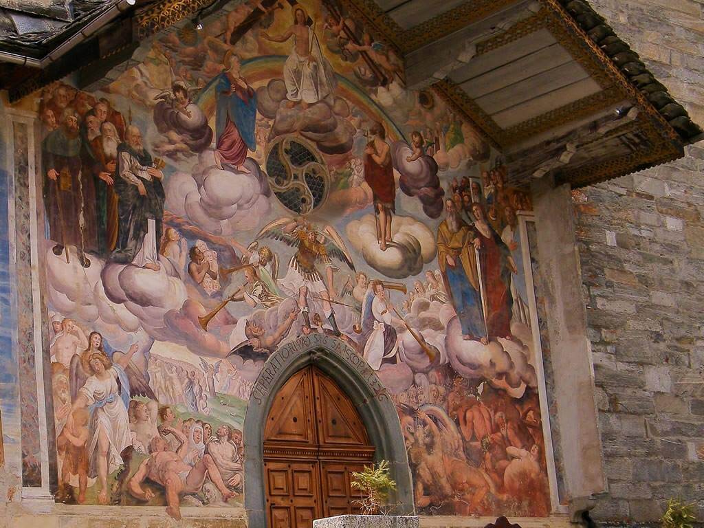
A church consecrated in 1326 at Riva Valdobbia, rebuilt after a flood of the Vogna torrent in 1640, with a painted facade.
Le Miniere di manganese
14.7 km away, in Alagna Valsesia
Manganese workings above Alagna, driven into the slope in the nineteenth century and open on guided visits.
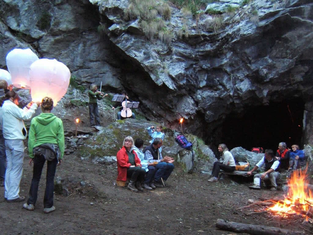
 Mountain hut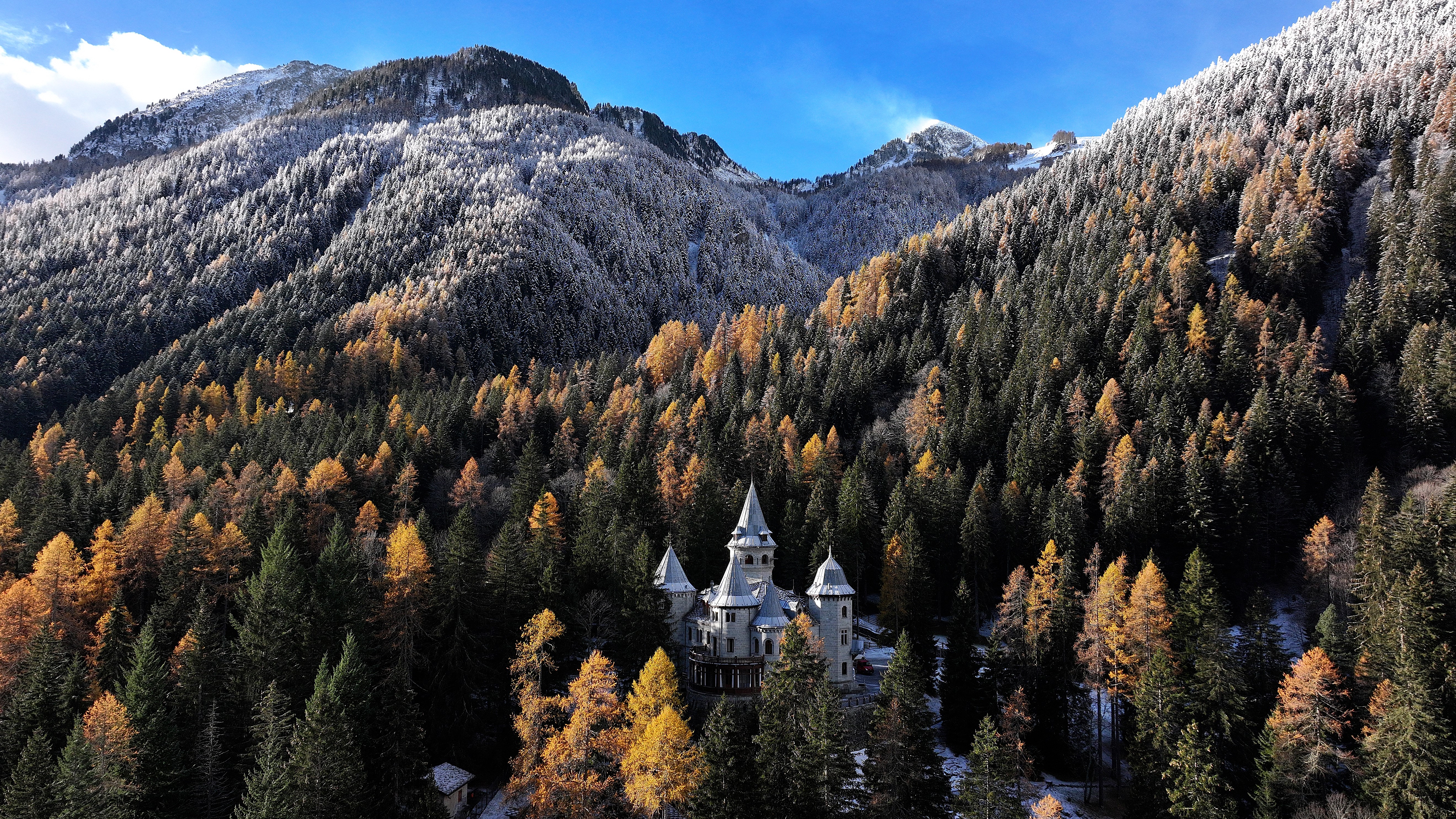
 Historic site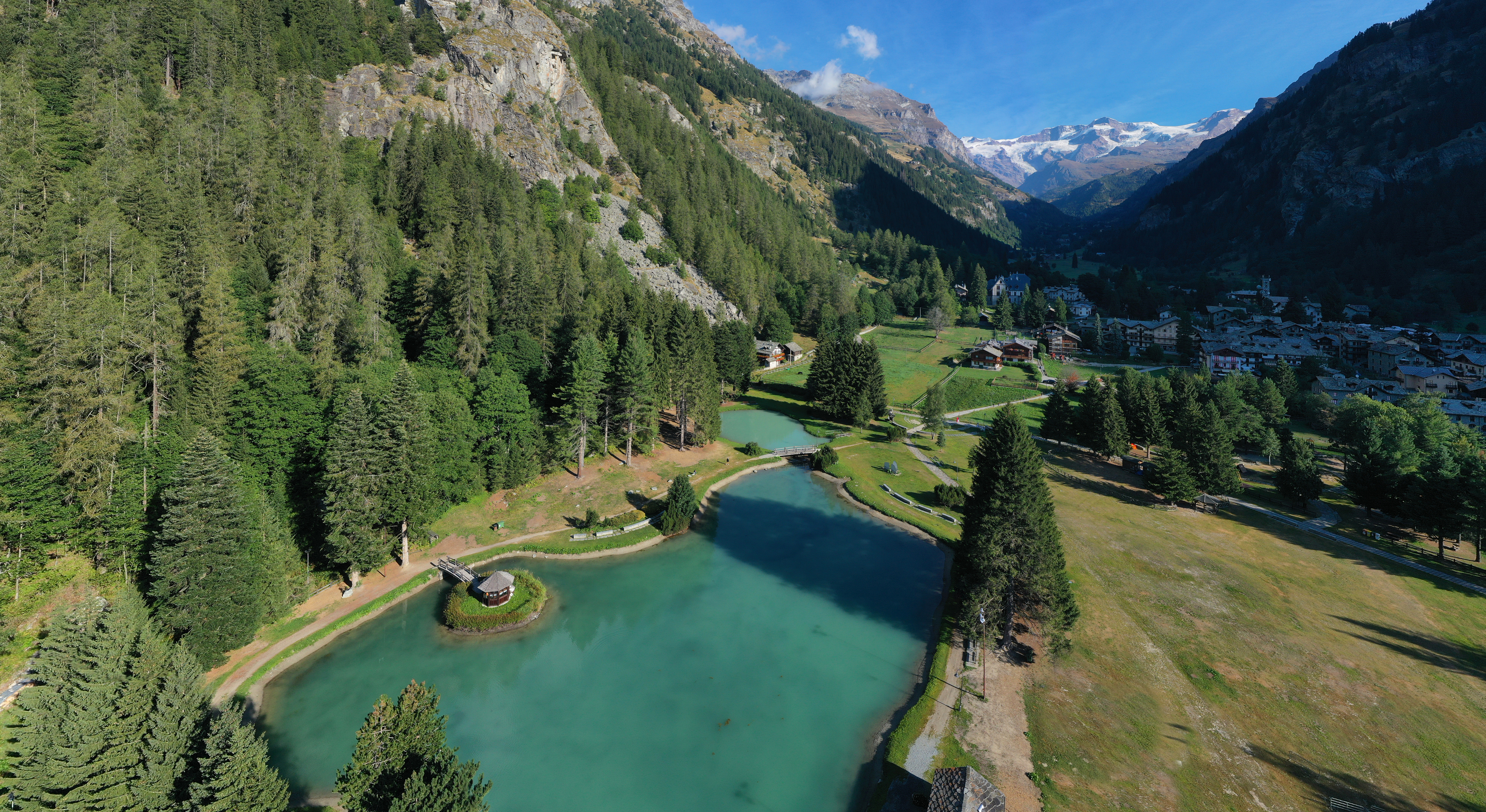
Nothing of this kind in Gaby.
Routes
Cascata di Niel
A short walk up to the Niel waterfall above Gaby, in the Walser side valley of the Lys.
- 1.3 km
- Distance
- 150 m
- Ascent
- 54 min
- Duration
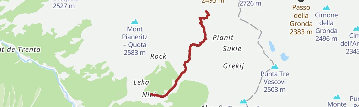
Col Mologna Grande
The climb from Gaby in the Lys valley to the Col Mologna Grande, a pass on the crest towards the Valle Cervo.
- 7.2 km
- Distance
- 815 m
- Ascent
- 4 h 54 min
- Duration
- 10
- Check-ins
Issime Staffal
A long valley route from Issime up to Staffal at the head of the Gressoney valley, under Monte Rosa.
- 24.1 km
- Distance
- 888 m
- Ascent
- 7 h 1 min
- Duration
- 68
- Check-ins
Pian du Beily
An easy walk from Gaby to the pastures of Pian du Beily, on the Walser slopes of the lower Lys valley.
- 4.8 km
- Distance
- 262 m
- Ascent
- 1 h 52 min
- Duration
Col Mologna Piccola
A climb from Gaby to the Col Mologna Piccola, the lower of the two passes leading over to the Biellese side.
- 7.4 km
- Distance
- 658 m
- Ascent
- 4 h 9 min
- Duration
- 8
- Check-ins
Rifugio Barma
A long climb from Fontainemore to the Barma hut beside its lake, under the ridge of Mont Mars.
- 15.8 km
- Distance
- 1 147 m
- Ascent
- 8 h 30 min
- Duration
- 26
- Check-ins
Col Lazouney
The ascent from Gaby to the Col Lazouney on the ridge east of the Lys valley, on old pasture tracks.
- 7.1 km
- Distance
- 840 m
- Ascent
- 5 h 1 min
- Duration
- 7
- Check-ins
Col della Vecchia
A long climb above Gaby to the Col della Vecchia, on the watershed between the Lys and the Biellese valleys.
- 12.4 km
- Distance
- 1 173 m
- Ascent
- 7 h 17 min
- Duration
- 8
- Check-ins
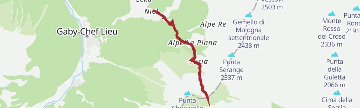
Col Chaparelle
A climb above Gaby to the Col Chaparelle, a grassy notch on the crest bounding the Gressoney valley.
- 6.4 km
- Distance
- 665 m
- Ascent
- 4 h 3 min
- Duration
- 1
- Check-ins
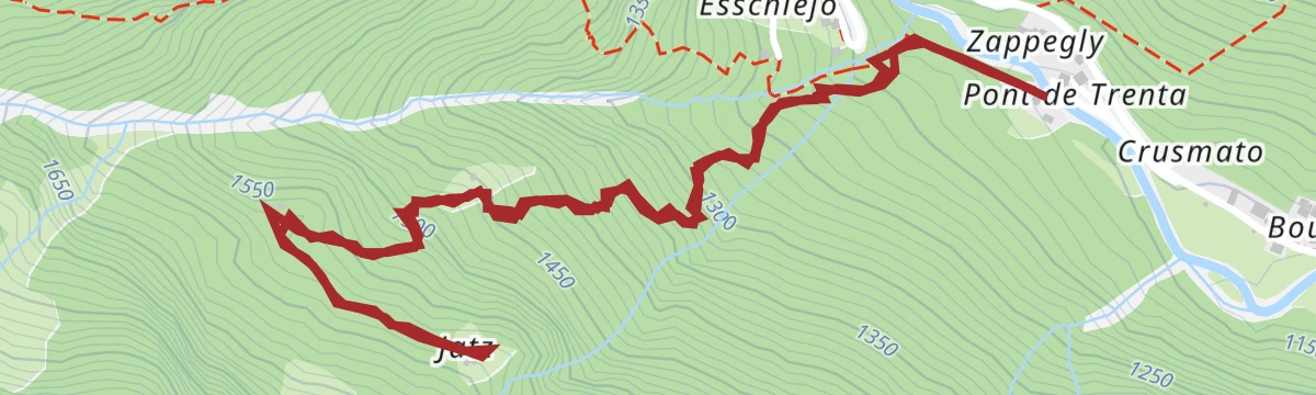
Alpe Jatz
A short steep walk from Gaby up to the Alpe Jatz, one of the Walser summer farms on the valley side.
- 4.0 km
- Distance
- 430 m
- Ascent
- 2 h 36 min
- Duration
Gaby
A mid-length round from Gaby through the scattered Walser hamlets on the slopes of the lower Lys valley.
- 10.7 km
- Distance
- 492 m
- Ascent
- 3 h 43 min
- Duration
Muleret
A steep climb from Gaby to the Muleret pastures, high on the western side of the Lys valley.
- 5.5 km
- Distance
- 763 m
- Ascent
- 4 h 26 min
- Duration
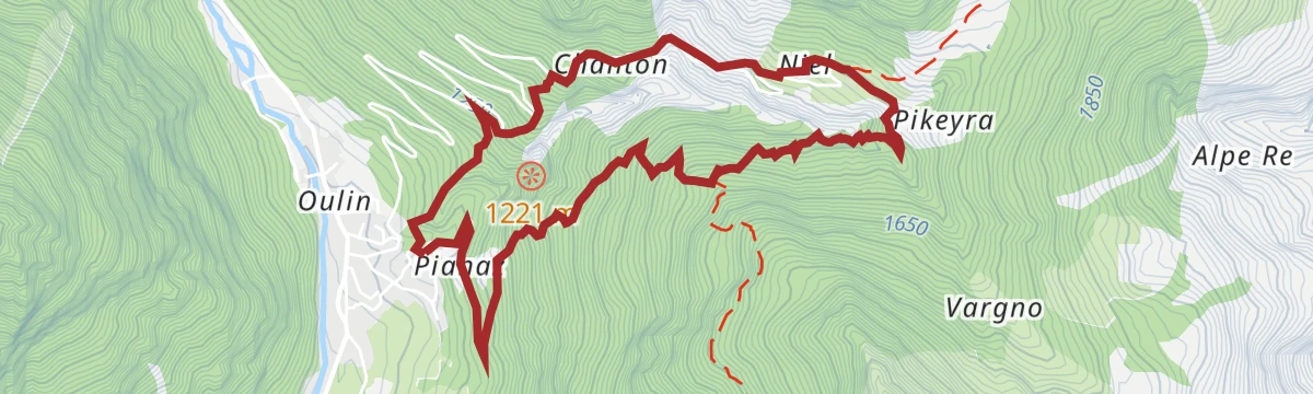
Niel da Gaby
The walk from Gaby up the side valley to Niel, a Walser hamlet of stone and timber houses.
- 6.8 km
- Distance
- 696 m
- Ascent
- 4 h 16 min
- Duration
Parete del Pentimento
A short approach above Gaby to the Parete del Pentimento, a climbing crag on the valley side.
- 2.9 km
- Distance
- 522 m
- Ascent
- 2 h 56 min
- Duration
Ruck
A steep short climb from Gaby to the hamlet of Ruck, on the wooded slope above the Lys.
- 4.0 km
- Distance
- 636 m
- Ascent
- 3 h 37 min
- Duration







No routes of this kind in Gaby yet.
Planning a trip to Gaby?
Everything else Aosta Valley has, in one place


Take Gaby with you into the mountains
Every route on this page with 3D terrain, GPX navigation and offline maps — including the valleys with no signal.
Data sources
- Official website: lovevda.it ↗
- Routes and highlights: Monterosa Outdoor, Visit Monterosa
- Published as open data by the tourist boards named above.
- Region summary generated from the board's own material.
