
Curated by Salzkammergut
Fuschl am See
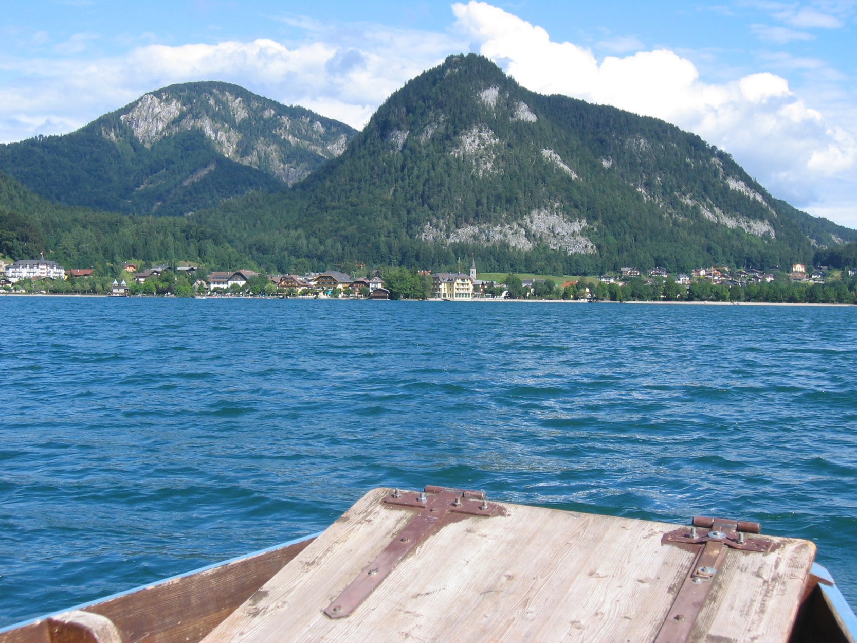
The head of the Fuschlsee at about 670 m, on the old road running east from Salzburg to the Wolfgangsee between wooded Osterhorn ridges.
Photo: Dirk Schmidt (Celsius auf Wikivoyage) · CC BY-SA 3.0 licence
- 9Highlights
- 14Routes
Highlights
6 from neighbouring places
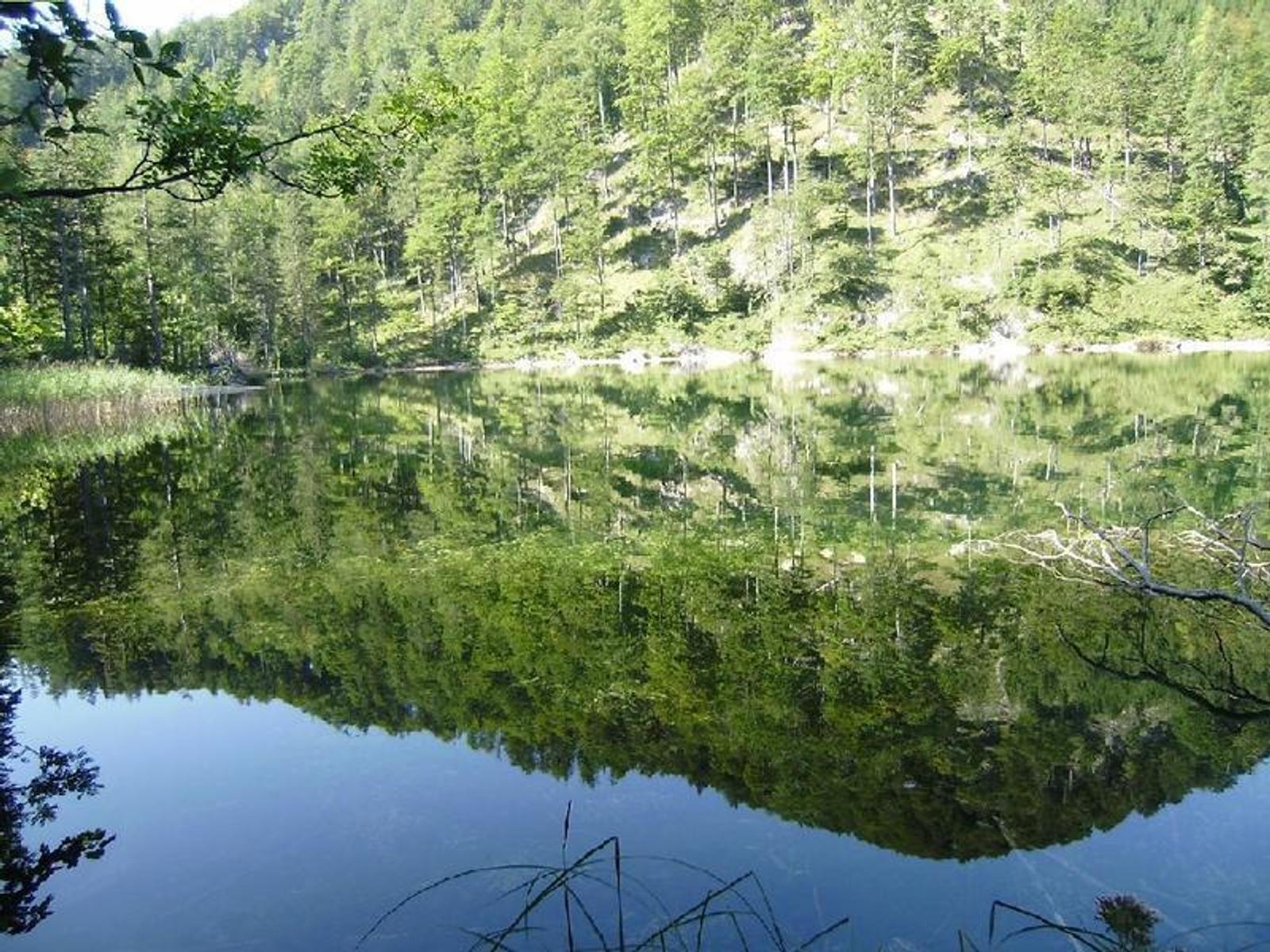
Filblingsee
A small lake above the Fuschlsee, an easy climb from the Faistenau hamlet of Tiefbrunnau.
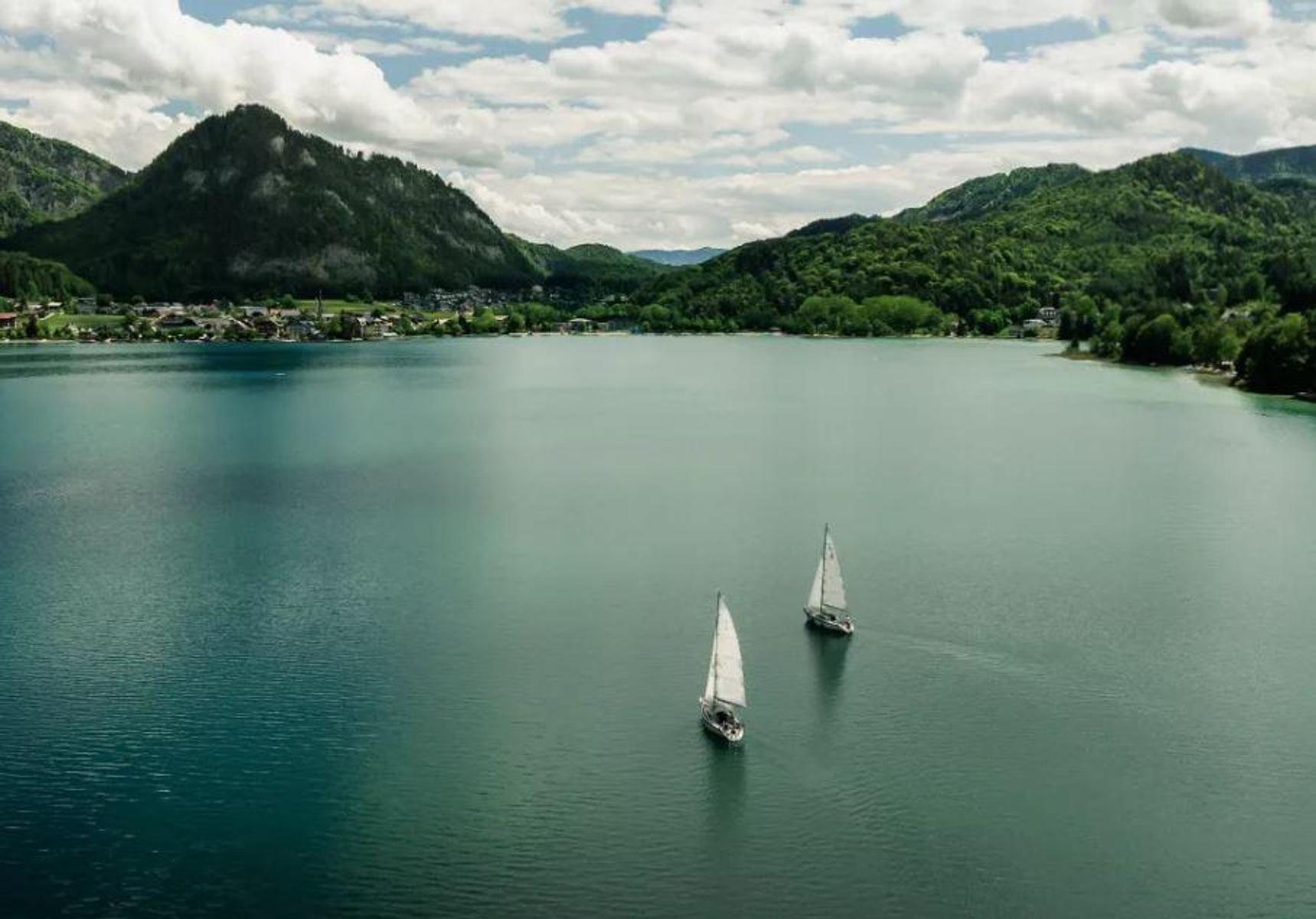
Fuschlsee
A clear lake between wooded ridges east of Salzburg, small enough to walk around in an afternoon.
Ostseite Moor
A moor on the eastern side of the Fuschlsee, with boardwalk paths through the wet ground.
Seeclub by Rosewood Schloss Fuschl
The lakeside club of Schloss Fuschl, in the grounds of the former archbishops' hunting seat on the Fuschlsee.
Rumingmühle
A restored grain mill at Fuschl am See, reopened to visitors to show the old milling craft.
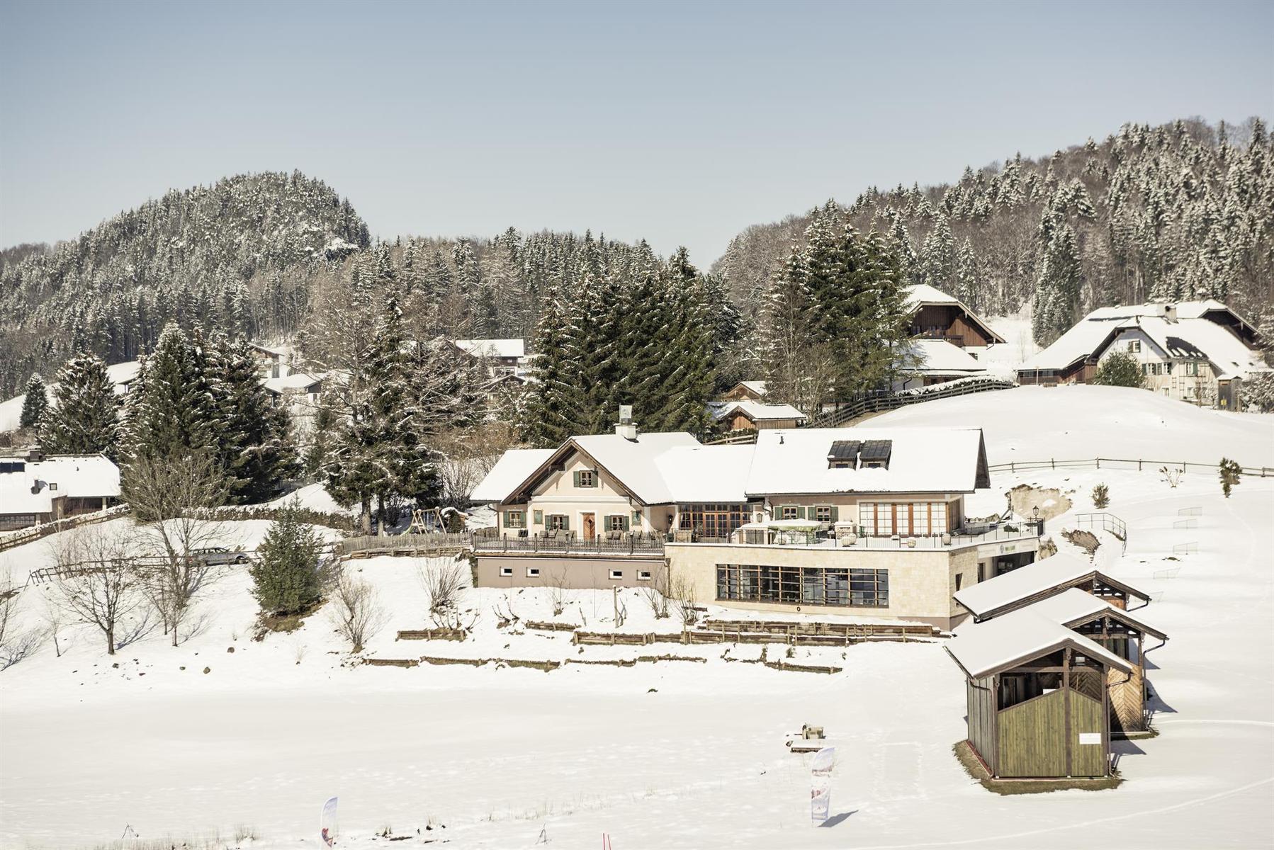
Wintererlebniswelt Waldhof Alm
The winter side of the Waldhof Alm above Fuschl am See, serving tea, punch, Kasnocken and Kaiserschmarrn.
Eibensee Hochmoor Wildmoos Marienköpfl
2.9 km away, in Sankt Gilgen
A walking circuit from the Eibensee stream up to a high moor and the Marienköpfl above St. Gilgen.
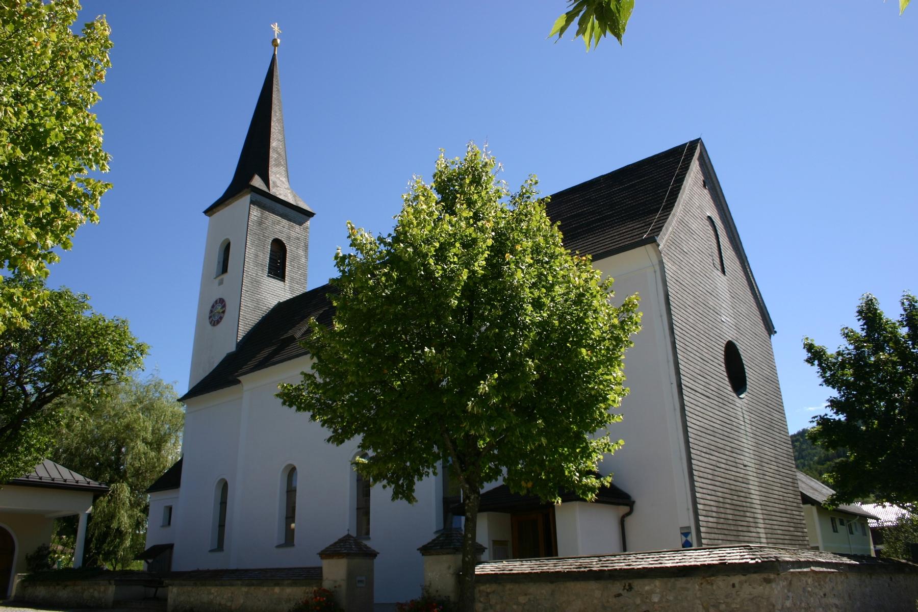
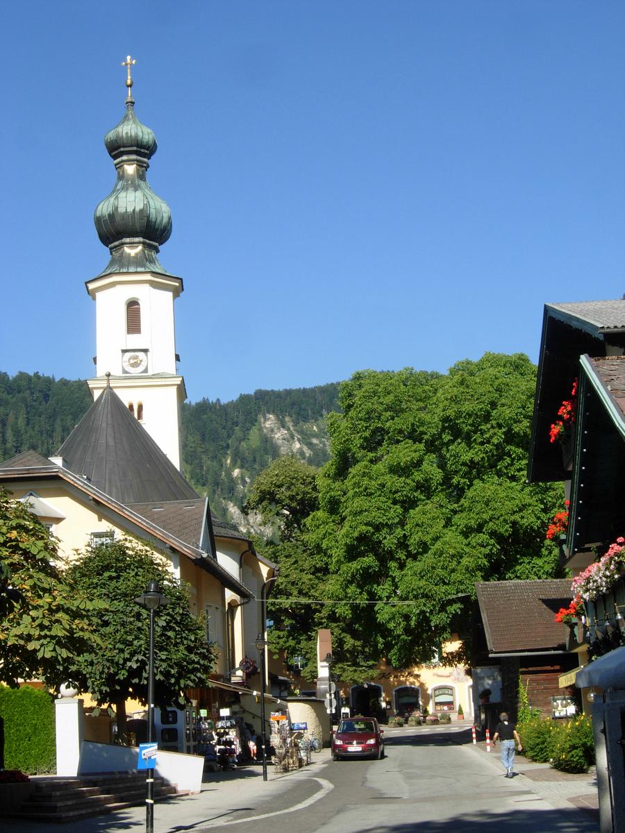
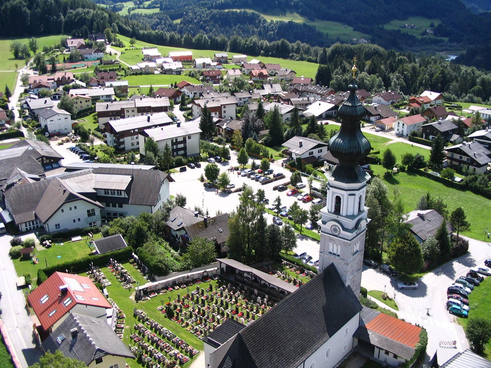
Katholische Pfarrkirche St. Gilgen
5.6 km away, in Sankt Gilgen
The Catholic parish church of St. Gilgen, beside the square at the centre of the village.
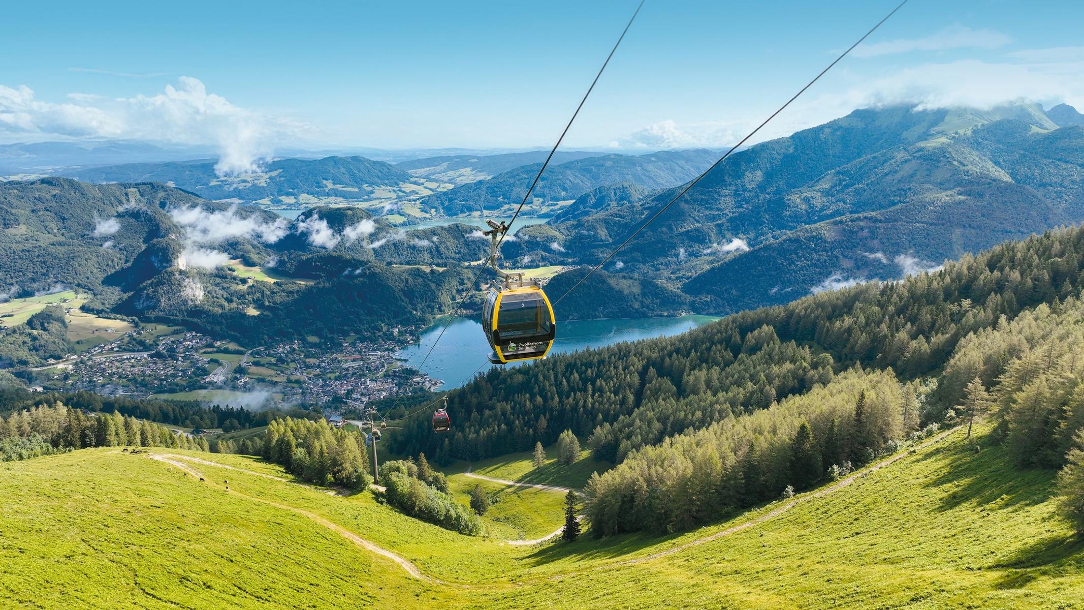
Zwölferhorn Seilbahn
5.7 km away, in Sankt Gilgen
The cable car from St. Gilgen to the Zwölferhorn, above the Wolfgangsee.
Spielplatz in Faistenau
5.7 km away, in Faistenau
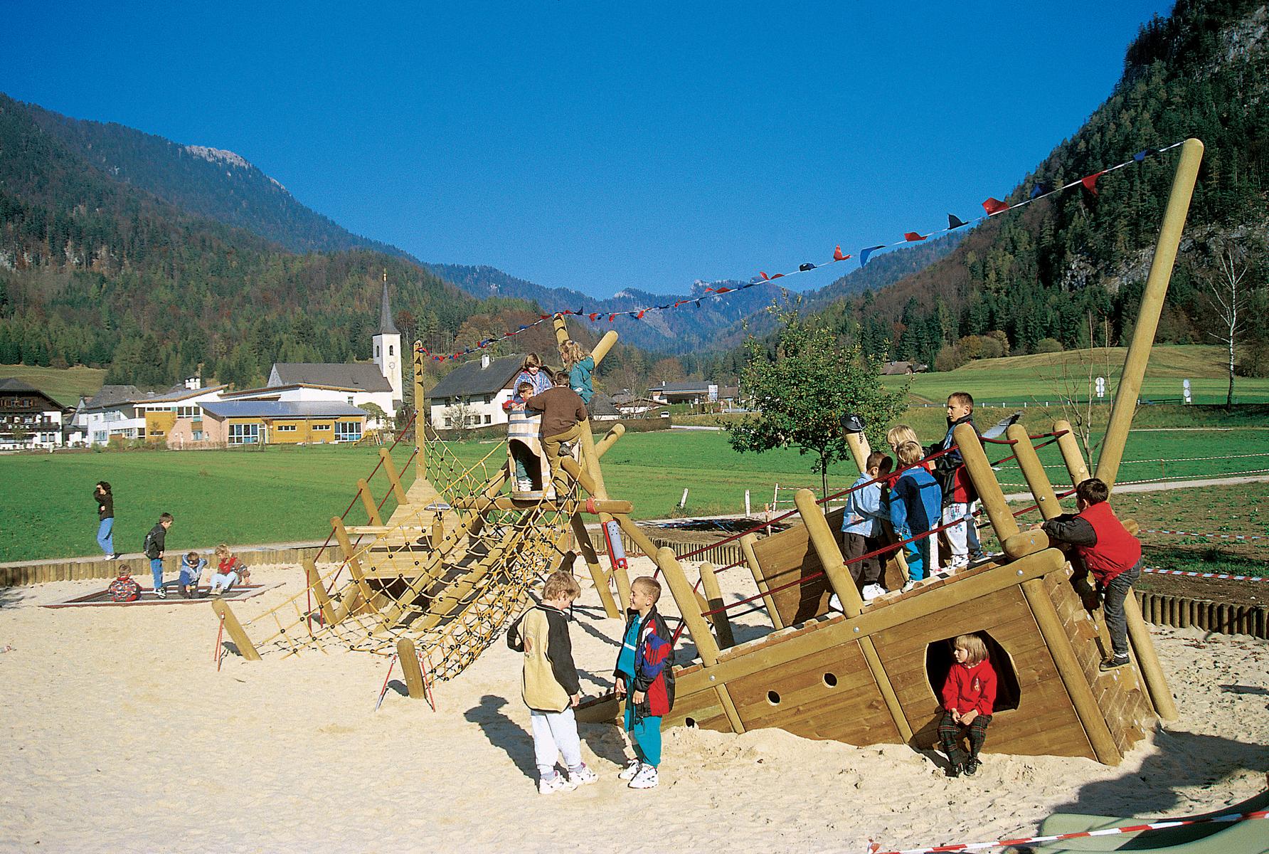
A large playground behind the municipal office in Faistenau, with a climbing tower, slide and slackline.
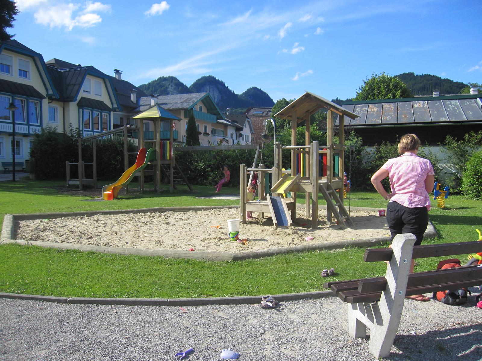
Kinderspielplatz im Seepark St. Gilgen
5.7 km away, in Sankt Gilgen
A children's playground in the lakeside park at St. Gilgen.
 Historic site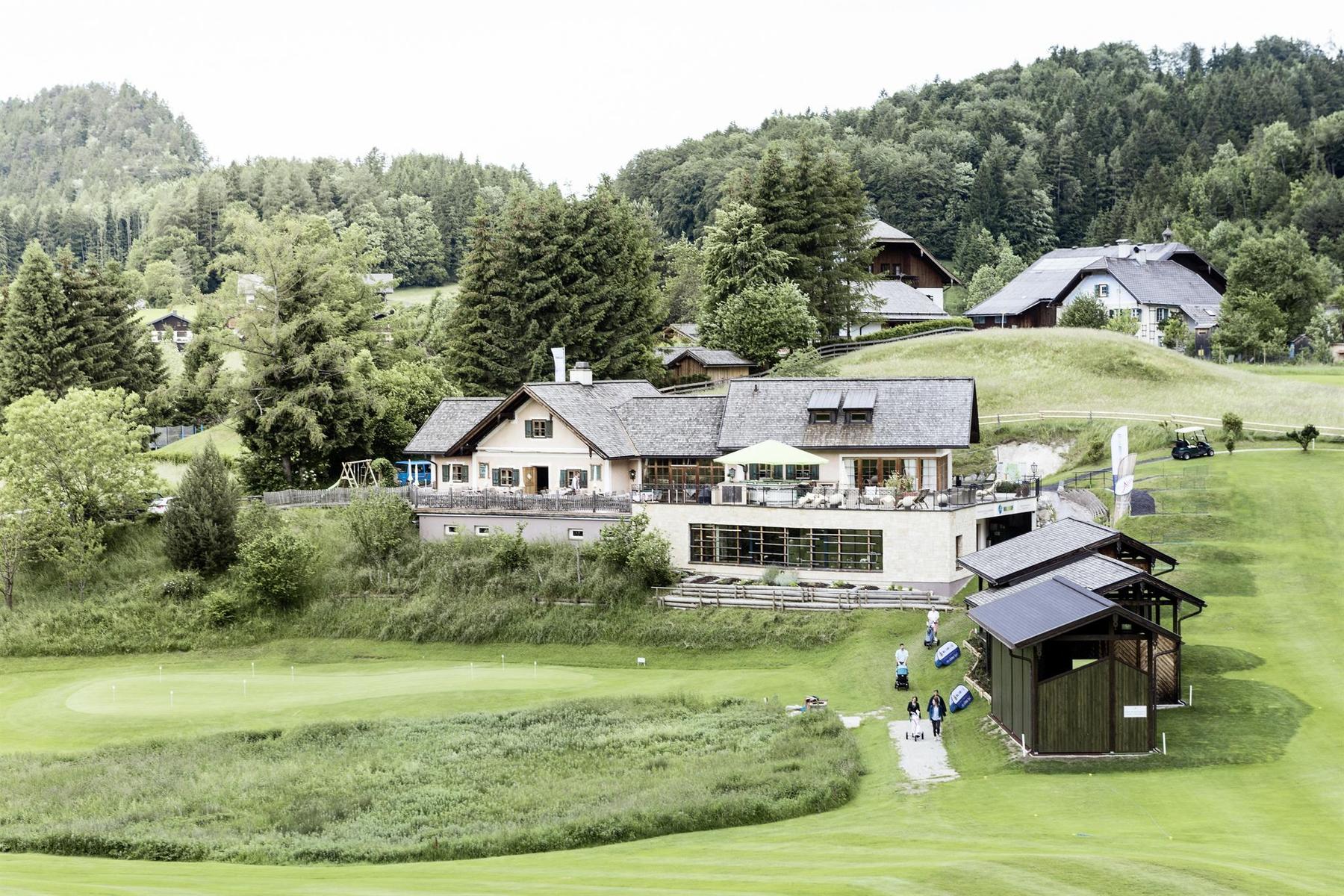
 Mountain hut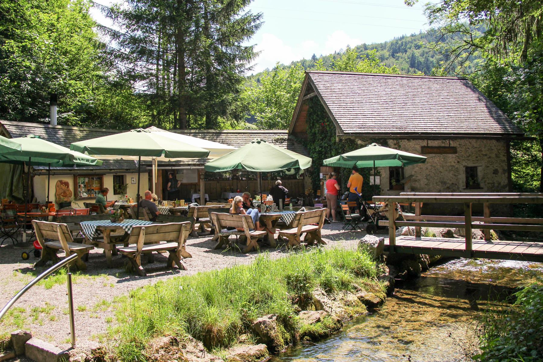
 Cable car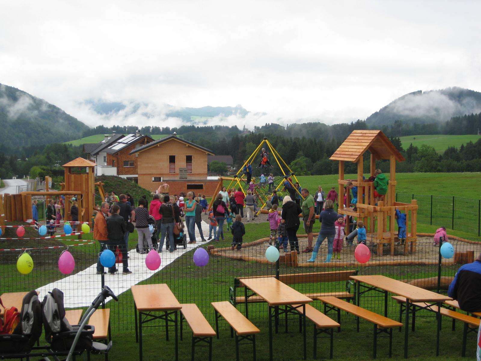
Nothing of this kind in Fuschl am See.
Routes
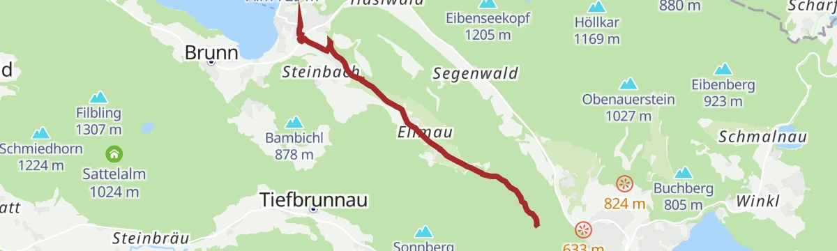
Ellmaustein
A short, steep climb above Fuschl am See in the Salzkammergut, gaining a couple of hundred metres in barely a kilometre and a half.
- 1.4 km
- Distance
- 277 m
- Ascent
- 1 h 5 min
- Duration
Filblingweg Fuschl
A climb from the Wolfgangsee road up a forest track to the Filblingsee, continuing on a footpath to the summit above Fuschl am See.
- 5.1 km
- Distance
- 648 m
- Ascent
- 2 h 40 min
- Duration
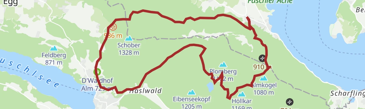
4 Berge 3 Seen
A Salzkammergut walking route in four stages, taking in four summits above the Fuschlsee, the Wolfgangsee and the Mondsee.
- 13.1 km
- Distance
- 911 m
- Ascent
- 6 h 17 min
- Duration
Die Fuschlerin
A gravel round to the Fuschlsee and right around the Zwölferhorn, through alm and woodland country.
- 36.3 km
- Distance
- 1 183 m
- Ascent
- 4 h 20 min
- Duration
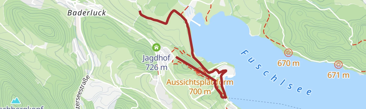
Mozartblick
A short and easy walk on the wooded slopes above Fuschl am See, climbing gently to a lookout point over the lake.
- 4.8 km
- Distance
- 171 m
- Ascent
- 1 h 25 min
- Duration
Fuschlseerundwanderweg
A circuit right around the Fuschlsee, staying close to the lakeshore below the Osterhorn hills in the Salzkammergut.
- 11.0 km
- Distance
- 245 m
- Ascent
- 3 h 11 min
- Duration
Drachenweg
A long circuit around the Drachenwand and the ruined castle of Wartenfels above the Mondsee, in the Salzkammergut.
- 17.3 km
- Distance
- 990 m
- Ascent
- 6 h 57 min
- Duration
Eddy Merckx Classic Radmarathon
A long road route through the Salzburg lake country around Fuschl am See, ridden as a marathon event distance.
- 62.7 km
- Distance
- 918 m
- Ascent
- 6 h 25 min
- Duration
Wanderweg auf den Schober
An easy walk up to the Schober above Fuschl am See, a steady rise of a couple of hundred metres from the valley floor.
- 4.8 km
- Distance
- 259 m
- Ascent
- 1 h 51 min
- Duration
Rundweg vom Forsthaus Wartenfels über Ruine Wartenfels, Schobergipfel und Frauenkopf
A circuit from the Forsthaus past the ruined castle of Wartenfels to the Schober and the Frauenkopf, looking out over the Mondsee and the Irrsee.
- 2.5 km
- Distance
- 375 m
- Ascent
- 2 h 10 min
- Duration
Rennradtour "4-Seen-Tour"
A road tour linking four of the lakes of the Salzburg Seenland, with a good deal of climbing between one valley and the next.
- 74.7 km
- Distance
- 1 425 m
- Ascent
- 7 h 58 min
- Duration
Wasserspur
A short, nearly level themed path at Fuschl am See, following the trace of water for a little over two kilometres.
- 2.3 km
- Distance
- 65 m
- Ascent
- 40 min
- Duration
Rennradtour "Strubklammrunde"
A road loop in the Fuschlsee region, taking in the narrow road that threads the Strubklamm gorge on its way back.
- 38.9 km
- Distance
- 615 m
- Ascent
- 4 h 2 min
- Duration
Zwergerlweg in Fuschl am See
A very short family path in Fuschl am See, laid out for children in the Fuschlsee region of the Salzkammergut.
- 733 m
- Distance
- 37 m
- Ascent
- 14 min
- Duration







No routes of this kind in Fuschl am See yet.
Planning a trip to Fuschl am See?
Everything else Salzburg (state) has, in one place


Take Fuschl am See with you into the mountains
Every route on this page with 3D terrain, GPX navigation and offline maps — including the valleys with no signal.
Data sources
- Official website: fuschlsee.salzkammergut.at ↗
- Routes and highlights: Salzkammergut
- Published as open data by the tourist boards named above.
- Region summary generated from the board's own material.
