













Curated by Villnöss
Funes/Villnöß
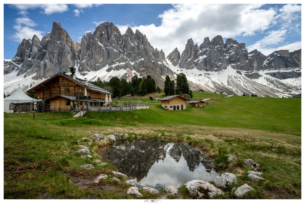
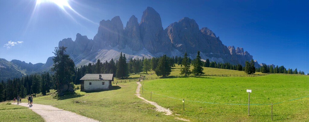
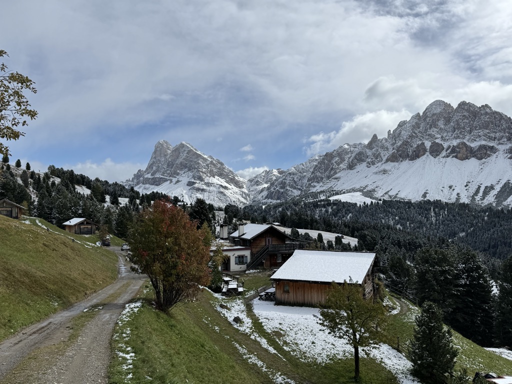
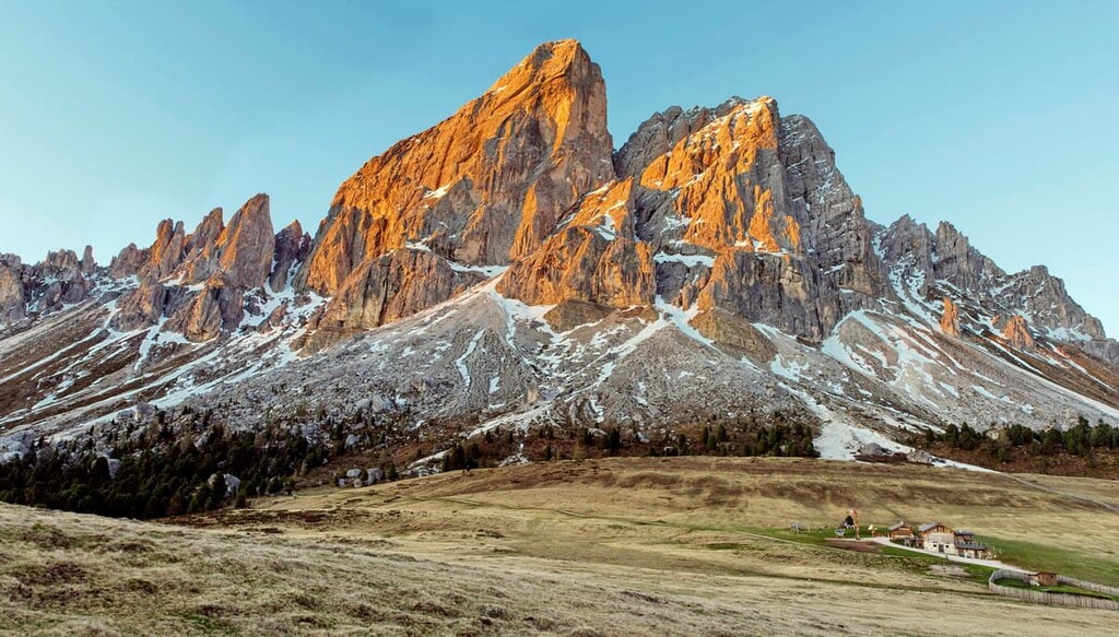
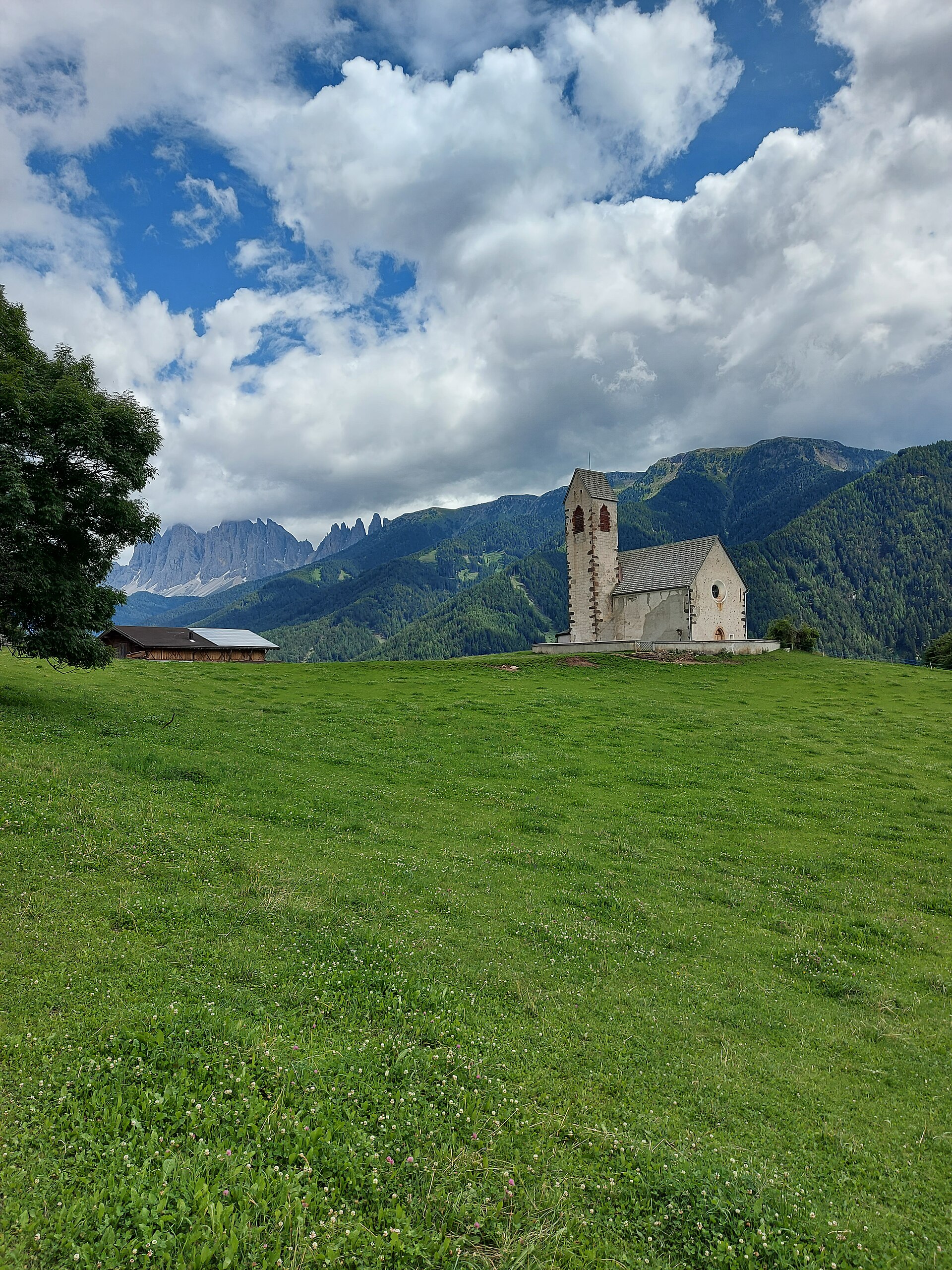
A quiet valley under the Sass de Putia and the Odle, on the western edge of the Puez-Odle park.
Photo: Alebeat · CC BY-SA 4.0 licence
- 10Highlights
- 71Routes
- Featured summit · Peitlerkofel - Sass de Pütia - Sass de Putia
Highlights
5 from neighbouring places
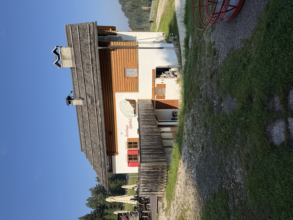
Albergo Halslhütte
A guest house at 1,866 m above Funes on the western edge of the Puez-Odle park, its kitchen known for stew and dumplings, game, and Kaiserschmarrn.
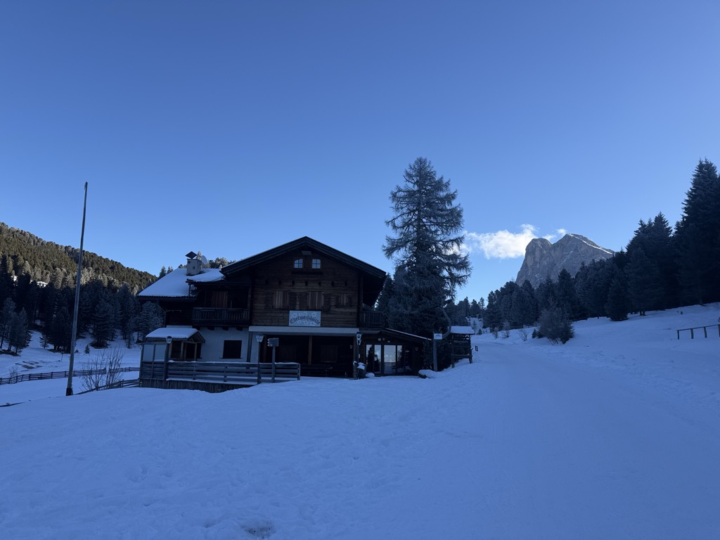
Edelweißhütte
A hut at 1,841 m at the foot of the Sass de Putia, standing directly on the road over the Passo delle Erbe above Funes.
Halslhütte
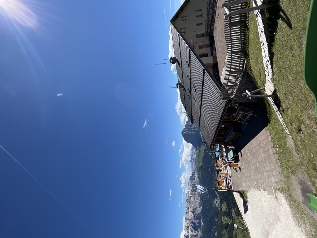
A Tyrolean mountain inn at 1,866 m above Funes, with terrace, garden and playground, on the way from S. Maddalena over the Halsl to the Passo delle Erbe.
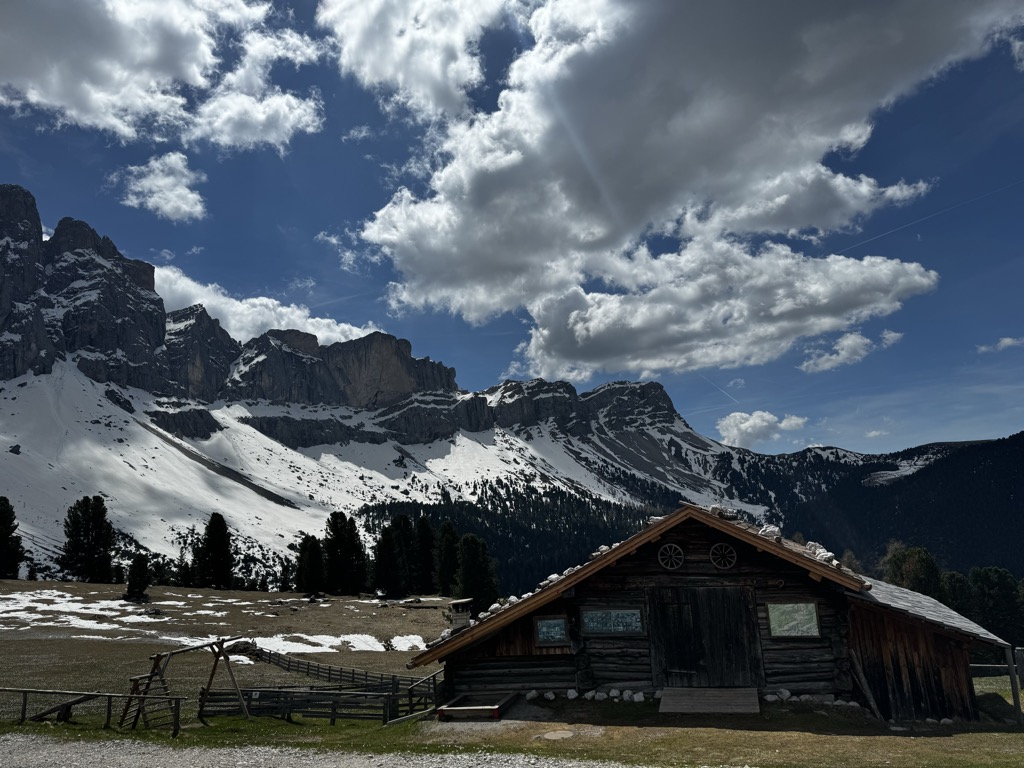
Malga Casnago
A pasture hut at 2,006 m on the Funes side of the Odle, on the Dolorama trail, cooking traditional Tyrolean dishes from the produce of local farms.
Malga Dusler
A pasture hut at 1,800 m above Funes looking across to the Odle, on the Geisler circular hike, its menu built on the local Tyrolean kitchen.
Sterzing, Pfitsch und FreienfeldMalga Geisleralm
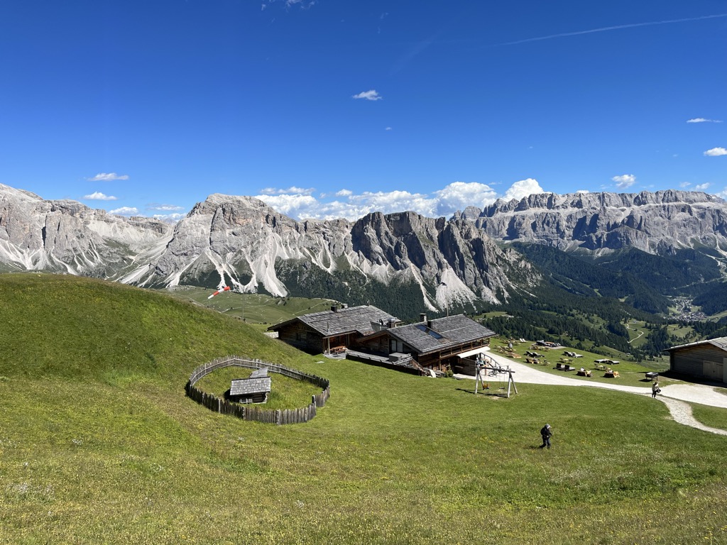
A family hut at 1,996 m below the Odle above Funes, with a Tyrolean stube, a wide terrace and its own Geisler cinema.
Malga Glatsch
A quiet hut at 1,906 m among the firs at the foot of the Odle above Funes, standing on the Adolf Munkel trail and cooking with herbs from its own garden.
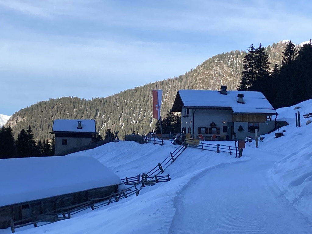
Malga Kaserill
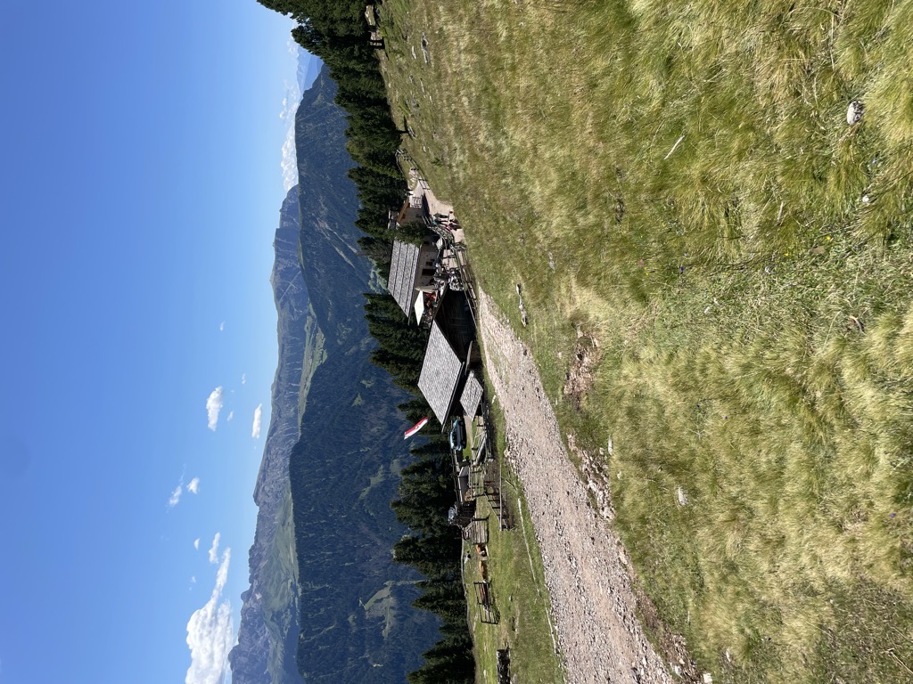
A pasture hut at 1,929 m above Funes with a dairy of its own, selling cheese alongside home-made cakes, yoghurt and fruit juices.
Rifugio Genova
A hut at 2,306 m above Funes in the Puez-Odle park, on the Alta Via delle Dolomiti n. 8 and the climb to the Sass de Putia, open mid-June to mid-October.
Rifugio delle Odle
A hut at 1,996 m under the walls of the Odle in the Val di Funes, at the top of the pastures on the western edge of the Puez-Odle park.
Seceda Stazione a monte
4.3 km away, in Santa Cristina Valgardena/St. Christina in Gröden
The top station of the Seceda lift at 2,500 m above Santa Cristina Valgardena, with a restaurant, a terrace and an outdoor playground.
Seceda Stazione a monte - baita
4.3 km away, in Santa Cristina Valgardena/St. Christina in Gröden
A hut at the Seceda top station, 2,500 m above Santa Cristina Valgardena and among the most easily reached viewpoints in the Val Gardena.
Sofie Baita
4.4 km away, in Santa Cristina Valgardena/St. Christina in Gröden
A hut at 2,412 m on the Seceda slopes above Santa Cristina Valgardena, with a boulder wall for children and its own 8025 gin made from 13 alpine herbs.
Rifugio Schatzerhütte
4.7 km away, in Bressanone/Brixen
A refuge on the wooded terraces of the Plose above Bressanone, on the traverse between the Plose slopes and the Aferer Geisler, in the Eisacktal.
Malga Cason
5.3 km away, in Ortisei/St. Ulrich
A dairy hut on the pastures above Ortisei, in the Val Gardena, on the wooded slopes below the Rasciesa ridge.
Sterzing, Pfitsch und Freienfeld
Nothing of this kind in Funes/Villnöß.
Routes
50 routes, an even mix of activities · see the rest on odlesdolomites.com ↗
Al Sass de Putia attraverso il Rifugio Genova
A hard ascent of the Sass de Putia by way of the Genova hut, the last section a ferrata where a harness is advised, above the Funes valley.
- 15.7 km
- Distance
- 1 245 m
- Ascent
- 10 h 17 min
- Duration
- 318
- Check-ins
 Peitlerkofel - Sass de Pütia - Sass de Putia 2 875 m
 Peitlerscharte - Forcella de Putia 2 357 m
 Treffpunkt Zans 1 678 m
- Schlüterhütte - Rifugio Genova 2 306 m
- Ju dla Crusc - Kreuzkofeljoch - Passo Poma 2 340 m
- Kaserill-Alm – Malga Caserill 1 929 m
Open route Sterzing, Pfitsch und FreienfeldAlta Via Günther Messner
A demanding high route named after the climber Günther Messner, alternating exposed paths with cabled sections; not for anyone prone to vertigo.
- 15.3 km
- Distance
- 1 195 m
- Ascent
- 9 h 54 min
- Duration
- 91
- Check-ins
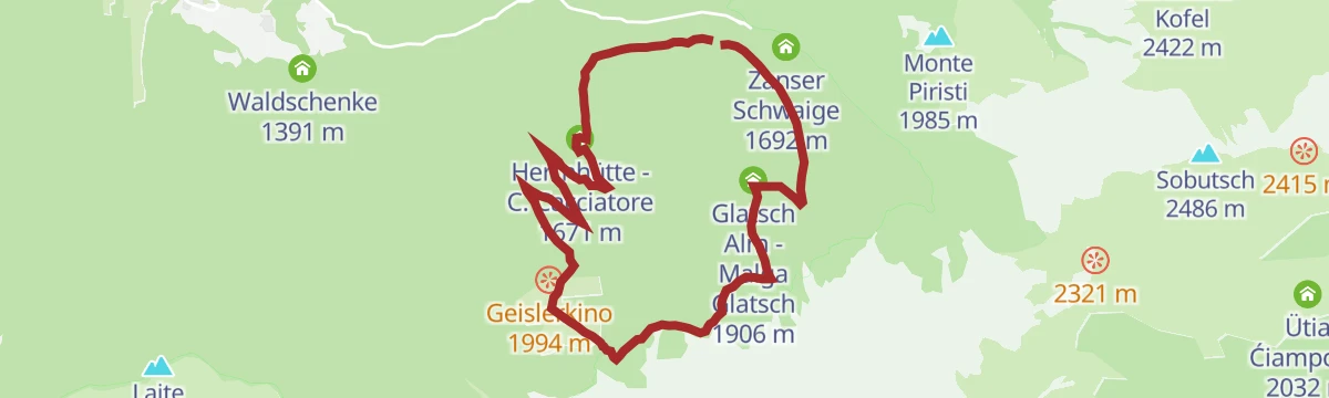
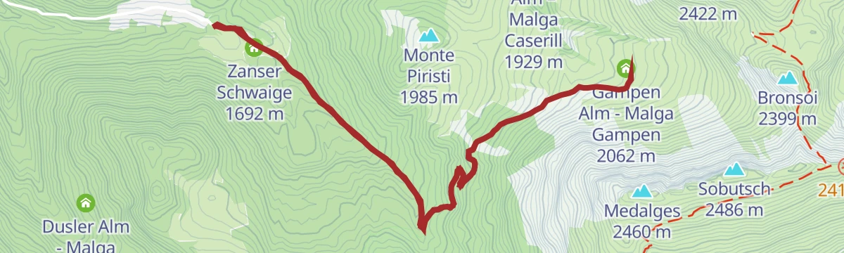
Open route Sterzing, Pfitsch und FreienfeldZans - Glatsch - Dusler - Zans
An easy circuit from Zans below the Odle spires, inside the Puez-Odle nature park.
- 5.4 km
- Distance
- 264 m
- Ascent
- 1 h 57 min
- Duration
- 206
- Check-ins
- Zanser Alm - Malga Zannes 1 680 m
- Treffpunkt Zans 1 678 m
- Glatsch Alm - Malga Glatsch 1 906 m
- Dusler Alm - Malga Dusler 1 800 m
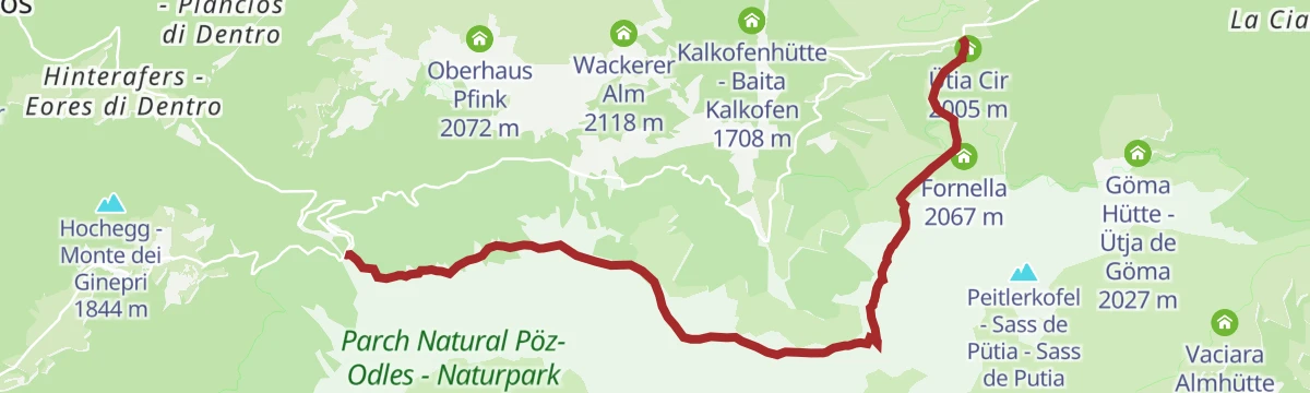
Open route VillnössDa Zannes attraverso Rifugio Genova fino al Passo delle Erbe
A walk through the Puez-Odle park from Zannes by way of the Genova hut to the Passo delle Erbe.
- 13.9 km
- Distance
- 843 m
- Ascent
- 5 h 13 min
- Duration
- 566
- Check-ins
- Jü de Börz - Würzjoch - Passo delle Erbe 1 987 m
- Treffpunkt Zans 1 678 m
- Schlüterhütte - Rifugio Genova 2 306 m
- Ütia de Börz - Würzjochhütte 2 007 m
- Vaciara Almhütte - Ütia Vaciara 2 092 m
- Ütia Cir 2 005 m
- +7
Open route Sterzing, Pfitsch und FreienfeldGeisler Circular Hike
A long circuit of the Odle group with two harder passages, the Roa and Pana saddles, and straightforward walking in between.
- 20.7 km
- Distance
- 1 461 m
- Ascent
- 9 h 39 min
- Duration
- 585
- Check-ins
- Geisleralm - Rifugio delle Odle 1 996 m
- Jëuf de Pana - Panascharte - Forcella Pana 2 444 m
- Gschnagenhardt Alm - Malga Casnago 2 006 m
- Zanser Alm - Malga Zannes 1 680 m
- Pieralongia 2 290 m
- Treffpunkt Zans 1 678 m
- +6
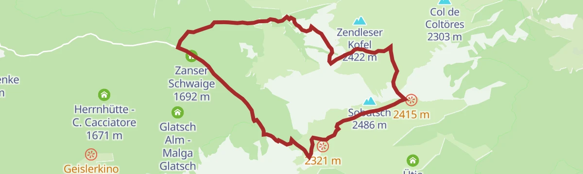
Open route VillnössSkialpinismo Col di Poma
A ski ascent from Zannes by Kirchwiesl and the Kaserill dairy to the Col di Poma at 2,422 m.
- 4.7 km
- Distance
- 737 m
- Ascent
- 11 m
- Descent
- 2 h 9 min
- Duration
- 194
- Check-ins
- Zendleser Kofel 2 422 m
- Zanser Alm - Malga Zannes 1 680 m
- Treffpunkt Zans 1 678 m
- Kaserill-Alm – Malga Caserill 1 929 m
- Wörndle Loch Alm - Malga Busa 2 149 m
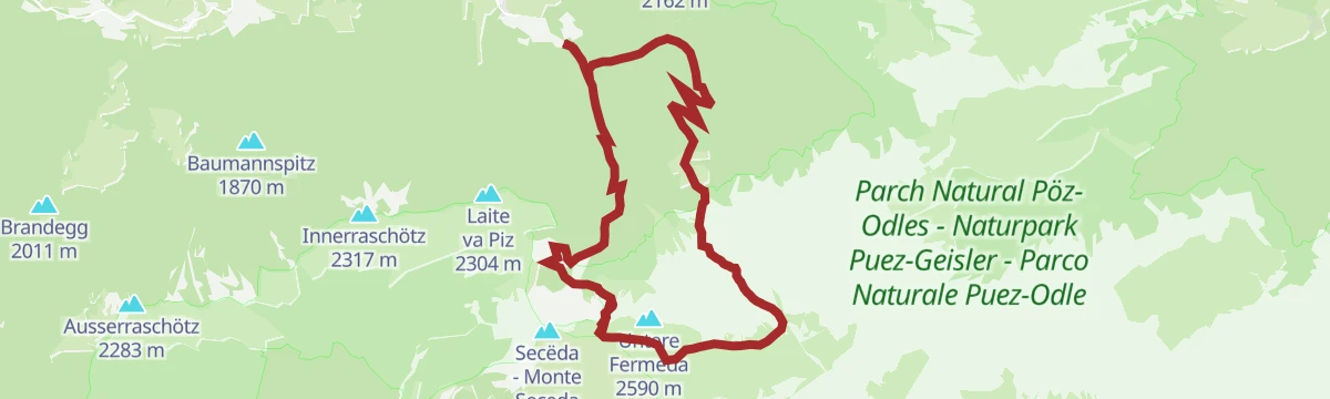
Open route Sterzing, Pfitsch und FreienfeldSki alpinismo Laite Va Piz
A ski ascent from the Waldschenke car park at Ranui by Weissbrunn and the Brogles dairy to Laite Va Piz at 2,284 m.
- 6.0 km
- Distance
- 919 m
- Ascent
- 0 m
- Descent
- 2 h 42 min
- Duration
- 72
- Check-ins
- Laite va Piz 2 304 m
- Waldschenke 1 391 m
- Brogleshütte - Rifugio Malga Brogles 2 047 m
- Bredles - Broglessattel - Passo di Brogles 2 119 m
Open route Sterzing, Pfitsch und FreienfeldConnection Bruggmüll - Around the yoke
A very short e-bike link from Bruggmuell at Santa Maddalena onto the circuit that runs around the Halsl saddle.
- 674 m
- Distance
- 0 m
- Ascent
- 4 min
- Duration
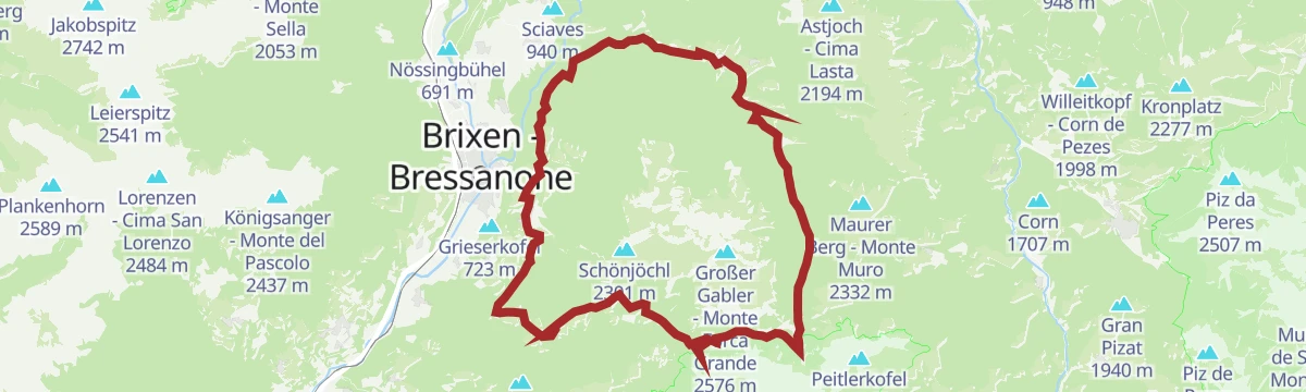
Open route VillnössFrom Lüsen around the Plose-Massive
A full circuit of the Plose from Luson, over the Passo Eores at 1,863 m by the Halslhütte and back down the Hintere Lüsnertal.
- 46.2 km
- Distance
- 1 422 m
- Ascent
- 5 h 27 min
- Duration
- 70
- Check-ins
- Gasthaus Halslhütte 1 866 m
- Rodelalm 1 874 m
- Passo Eores (Halsl) 1 863 m
- Edelweißhütte 1 841 m
- Goller 1 310 m
- Zimmerer 1 596 m
- +12
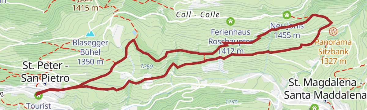
Open route VillnössAround the yoke
A short paved tour from St. Peter past St. Jakob, climbing the wooded ridge that separates the Villnöß and Afers valleys to the Jochhöfe.
- 10.3 km
- Distance
- 337 m
- Ascent
- 1 h 14 min
- Duration
- 4
- Check-ins
Open route VillnössBike Tour Brixen - Villnöß
A climb from Albeins on the valley floor up into Villnöß on road, gravel and forest tracks, towards the Odle peaks and their alpine huts.
- 20.5 km
- Distance
- 981 m
- Ascent
- 2 h 27 min
- Duration
- 43
- Check-ins
- Waldschenke 1 391 m
- Filler Tenne 1 248 m
- Tourist Info Villnöß 1 139 m
- Gufelfelderhof 896 m
- Work & Office Center Kampan 572 m
- Fäckl 981 m
- +4
Open route BrixenRanui - Zans
An easy walk on gravel track through the forest from Ranui up to Zannes at the head of the Funes valley.
- 3.4 km
- Distance
- 295 m
- Ascent
- 1 h 19 min
- Duration
- 153
- Check-ins
Open route VillnössCircular hike in the Villnößer valley end
A circuit at the closed head of the Funes valley, under the north walls of the Odle group.
- 12.6 km
- Distance
- 799 m
- Ascent
- 5 h 27 min
- Duration
- 377
- Check-ins
- Zanser Alm - Malga Zannes 1 680 m
- Treffpunkt Zans 1 678 m
- Schlüterhütte - Rifugio Genova 2 306 m
- Glatsch Alm - Malga Glatsch 1 906 m
- Kreuzjoch - Furcela de Munt de Furćia - Forcella di San Zenòn 2 293 m
- Ju dla Crusc - Kreuzkofeljoch - Passo Poma 2 340 m
- +4
Open route Valle Isarco - EisacktalAlpine pasture delight trail
A long walk linking the alpine dairies above the Funes valley, each serving its own mountain cooking; it splits well into two days.
- 15.5 km
- Distance
- 877 m
- Ascent
- 6 h 12 min
- Duration
- 527
- Check-ins
- Geisleralm - Rifugio delle Odle 1 996 m
- Gschnagenhardt Alm - Malga Casnago 2 006 m
- Zanser Alm - Malga Zannes 1 680 m
- Treffpunkt Zans 1 678 m
- Schlüterhütte - Rifugio Genova 2 306 m
- Glatsch Alm - Malga Glatsch 1 906 m
- +4
Open route VillnössSki alpinismo Bronsoi
A ski ascent from Zannes on forest road 33 towards Kirchwiesl, then by the Gampen dairy to Bronsoi at 2,300 m, finishing in tight zigzags.
- 4.2 km
- Distance
- 747 m
- Ascent
- 0 m
- Descent
- 2 h 7 min
- Duration
- 95
- Check-ins
Open route Sterzing, Pfitsch und FreienfeldSki alpinismo Gabler
An easy ski tour above the Funes valley to the Grosser Gabler, a top that repays the climb.
- 12.2 km
- Distance
- 924 m
- Ascent
- 926 m
- Descent
- 4 h 11 min
- Duration
- 66
- Check-ins
- Großer Gabler - Monte Forca Grande 2 576 m
- Gasthaus Halslhütte 1 866 m
- Gabler Biwak - Bivacco Gabler 2 570 m
- Edelweißhütte 1 841 m
- Egarter-Gampen-Alm 1 993 m
- Tschageralm 1 852 m
Open route Sterzing, Pfitsch und FreienfeldE-Bike Tour Albeins-Nafen-St. Peter-Ranui
An e-bike climb out of the Eisack valley into Villnöß, passing the Filler Tenne and the Waldschenke below the Geisler peaks.
- 23.0 km
- Distance
- 988 m
- Ascent
- 2 h 42 min
- Duration
- 63
- Check-ins
- Waldschenke 1 391 m
- Klammwirt 559 m
- Fürholz 554 m
- Filler Tenne 1 248 m
- Tourist Info Villnöß 1 139 m
- Senfter 546 m
- +5
Open route VillnössZans Nature Experience Trail in the Villnöss Dolomite Valley
A short nature trail at Zannes at the head of the Funes valley, inside the Puez-Odle park.
- 2.4 km
- Distance
- 60 m
- Ascent
- 43 min
- Duration
- 79
- Check-ins
Open route Valle Isarco - EisacktalThe Munkelweg under the Geisler peaks
The Munkel path at the foot of the Odle north walls at the head of the Funes valley, through stone pine and alpenrose, with huts along the way.
- 9.1 km
- Distance
- 417 m
- Ascent
- 3 h 9 min
- Duration
- 363
- Check-ins
- Geisleralm - Rifugio delle Odle 1 996 m
- Gschnagenhardt Alm - Malga Casnago 2 006 m
- Zanser Alm - Malga Zannes 1 680 m
- Treffpunkt Zans 1 678 m
- Dusler Alm - Malga Dusler 1 800 m
- Zanser Schwaige 1 692 m
Open route BrixenAlpine Path of the Dolomites no. 2 - stage 2 & 3
Two stages of the 180-kilometre high route from Brixen to Feltre, from the Plose hut to the Genova hut through the Puez-Odle park, with Sasso Putia in sight throughout.
- 23.6 km
- Distance
- 1 317 m
- Ascent
- 9 h 16 min
- Duration
- 437
- Check-ins
- Peitlerscharte - Forcella de Putia 2 357 m
- Schlüterhütte - Rifugio Genova 2 306 m
- Utia de Puez 2 475 m
- Cësa de Puez 2 478 m
- Kreuzjoch - Furcela de Munt de Furćia - Forcella di San Zenòn 2 293 m
- Ju dla Crusc - Kreuzkofeljoch - Passo Poma 2 340 m
- +8
Open route San Vigilio DolomitesCircular hike St. Magdalena
A very easy circular walk in the upper Funes valley to the church of Santa Maddalena.
- 3.2 km
- Distance
- 116 m
- Ascent
- 1 h 3 min
- Duration
- 15
- Check-ins
Open route VillnössTo the Gschnagenhardt and Glatschalm in the Puez Geisler Nature Park in Villnöss
A walk to the Gschnagenhardt and Glatsch dairies in the Puez-Odle park at the head of the Funes valley.
- 8.6 km
- Distance
- 415 m
- Ascent
- 3 h 4 min
- Duration
- 328
- Check-ins
- Geisleralm - Rifugio delle Odle 1 996 m
- Gschnagenhardt Alm - Malga Casnago 2 006 m
- Zanser Alm - Malga Zannes 1 680 m
- Glatsch Alm - Malga Glatsch 1 906 m
- Herrnhütte - C. Cacciatore 1 671 m
Open route Valle Isarco - EisacktalSmall Geisler circular
A long, hard mountain round in the Odle group above the Funes valley, for fit and experienced walkers only.
- 19.0 km
- Distance
- 1 543 m
- Ascent
- 9 h 54 min
- Duration
- 434
- Check-ins
- Geisleralm - Rifugio delle Odle 1 996 m
- Jëuf de Pana - Panascharte - Forcella Pana 2 444 m
- Gschnagenhardt Alm - Malga Casnago 2 006 m
- Pieralongia 2 290 m
- Herrnhütte - C. Cacciatore 1 671 m
- Waldschenke 1 391 m
- +2
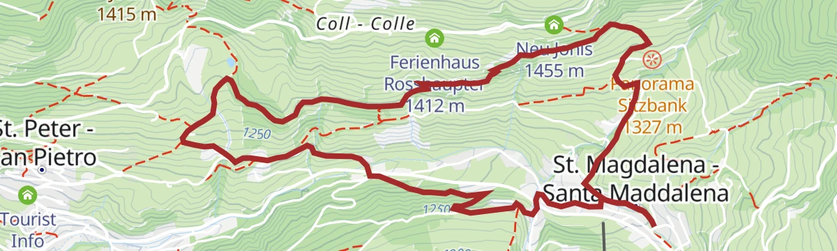
Open route VillnössLippmös (medium-level)
A round from the centre of Santa Maddalena by Oberhof and a panoramic path to the biotope, then down past the Gsoihof to Lippmoes.
- 6.7 km
- Distance
- 293 m
- Ascent
- 2 h 18 min
- Duration
- 8
- Check-ins
Open route VillnössZans - Schlüterhütte - Kreuzjoch
A varied climb from Zannes to the Schlueter hut and the Kreuzjoch, with the Odle group close at hand.
- 10.9 km
- Distance
- 748 m
- Ascent
- 4 h 59 min
- Duration
- 310
- Check-ins
- Treffpunkt Zans 1 678 m
- Schlüterhütte - Rifugio Genova 2 306 m
- Kreuzjoch - Furcela de Munt de Furćia - Forcella di San Zenòn 2 293 m
- Ju dla Crusc - Kreuzkofeljoch - Passo Poma 2 340 m
- Gampen Alm - Malga Gampen 2 062 m
- Kaserill-Alm – Malga Caserill 1 929 m
- +4
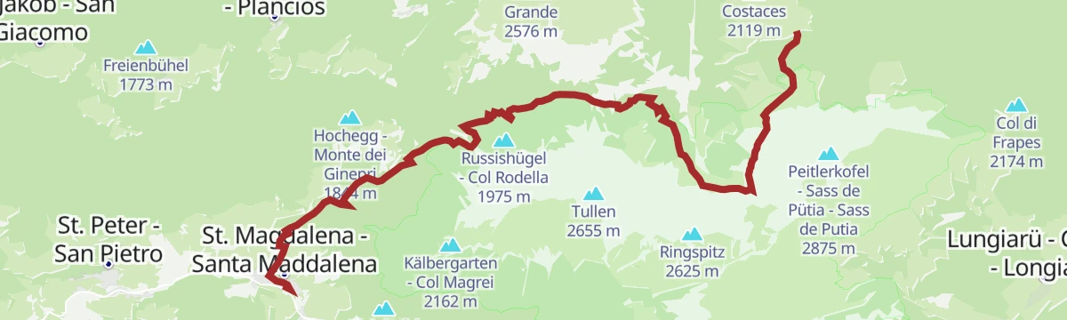
Open route VillnössDa S. Maddalena attraverso Halsl al Passo delle Erbe
A long climb from Santa Maddalena over the Halsl to the Passo delle Erbe, with the Odle and the Sass de Putia in view.
- 14.9 km
- Distance
- 914 m
- Ascent
- 5 h 3 min
- Duration
- 347
- Check-ins
- Jü de Börz - Würzjoch - Passo delle Erbe 1 987 m
- Ütia de Börz - Würzjochhütte 2 007 m
- Ütia Cir 2 005 m
- Peitler Hütte 2 055 m
- Sarighela 2 002 m
- Fornella 2 067 m
- +5
Open route Sterzing, Pfitsch und FreienfeldSunnseiten (easy)
An easy round from the centre of Santa Maddalena by the Schlatschnerhof and the Bruggmuellerhof inn, then up the forest road to Lippmoes.
- 4.9 km
- Distance
- 189 m
- Ascent
- 1 h 37 min
- Duration
- 8
- Check-ins
Open route VillnössDa Russis fino al Passo delle Erbe
A climb from Russis through varied country up to the Passo delle Erbe at the head of the Funes valley.
- 8.0 km
- Distance
- 506 m
- Ascent
- 2 h 58 min
- Duration
- 288
- Check-ins
- Jü de Börz - Würzjoch - Passo delle Erbe 1 987 m
- Ütia de Börz - Würzjochhütte 2 007 m
- Ütia Cir 2 005 m
- Peitler Hütte 2 055 m
- Sarighela 2 002 m
- Fornella 2 067 m
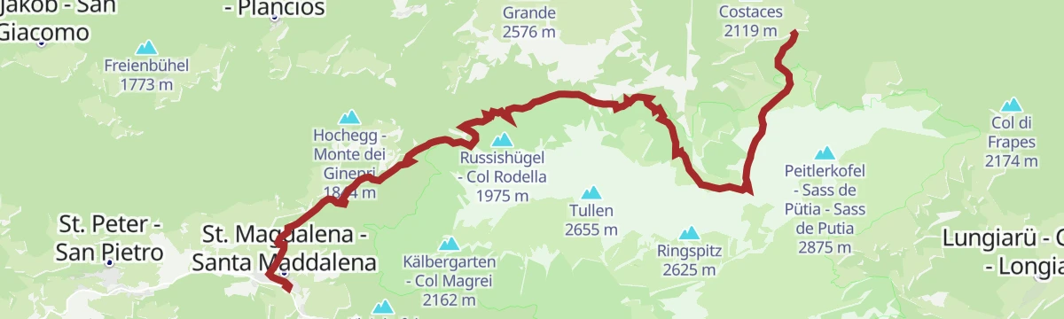
Open route Sterzing, Pfitsch und FreienfeldFrom St. Magdalena via Halsl to Würzjoch
A long climb from Santa Maddalena by the Halsl to the Passo delle Erbe, facing the Odle peaks and the Sass de Putia.
- 14.8 km
- Distance
- 907 m
- Ascent
- 5 h 1 min
- Duration
- 347
- Check-ins
- Jü de Börz - Würzjoch - Passo delle Erbe 1 987 m
- Ütia de Börz - Würzjochhütte 2 007 m
- Ütia Cir 2 005 m
- Peitler Hütte 2 055 m
- Sarighela 2 002 m
- Fornella 2 067 m
- +5
Open route VillnössThrough St. Valentin to St. Jakob
From the church of San Pietro west to the farm and church of San Valentino, then along the Sunnseitenweg through wood to San Giacomo and the Fisneider farm.
- 6.3 km
- Distance
- 227 m
- Ascent
- 2 h 2 min
- Duration
- 6
- Check-ins
Open route VillnössFrom Zans to Mount Zendleser Kofel
A climb on well-made paths through the Puez-Odle park from Zannes to the 2,422 m top of the Zendleser Kofel, facing the Odle and the Funes valley.
- 9.6 km
- Distance
- 733 m
- Ascent
- 4 h 46 min
- Duration
- 249
- Check-ins
- Zendleser Kofel 2 422 m
- Treffpunkt Zans 1 678 m
- Schlüterhütte - Rifugio Genova 2 306 m
- Ju dla Crusc - Kreuzkofeljoch - Passo Poma 2 340 m
- Gampen Alm - Malga Gampen 2 062 m
- Kaserill-Alm – Malga Caserill 1 929 m
Open route VillnössTo the Sas de Putia passing by Schlüterhütte
A hard ascent of the Sass de Putia by the Schlueter hut, facing the Odle and the Funes valley; the final stretch is a ferrata, best done with a harness.
- 15.6 km
- Distance
- 1 242 m
- Ascent
- 7 h 60 min
- Duration
- 318
- Check-ins
- Peitlerkofel - Sass de Pütia - Sass de Putia 2 875 m
- Peitlerscharte - Forcella de Putia 2 357 m
- Treffpunkt Zans 1 678 m
- Schlüterhütte - Rifugio Genova 2 306 m
- Ju dla Crusc - Kreuzkofeljoch - Passo Poma 2 340 m
- Kaserill-Alm – Malga Caserill 1 929 m
Open route VillnössSunnseitnweg and Panoramaweg in Villnöß
An easy round on the sunny side of the Funes valley, linking the Sunnseitenweg with the Panoramaweg above the villages.
- 6.6 km
- Distance
- 281 m
- Ascent
- 2 h 14 min
- Duration
- 4
- Check-ins
Open route Valle Isarco - EisacktalEuropa Höhenweg 2 - 7. Etappe Südtirol
A stage of the European high route number 2 crossing the Puez-Odle park above the Funes valley.
- 10.0 km
- Distance
- 743 m
- Ascent
- 4 h 32 min
- Duration
- 245
- Check-ins
- Schlüterhütte - Rifugio Genova 2 306 m
- Utia de Puez 2 475 m
- Cësa de Puez 2 478 m
- Kreuzjoch - Furcela de Munt de Furćia - Forcella di San Zenòn 2 293 m
- Medalges-Alm 2 293 m
- Furcela dla Roa - Roa-Scharte - Forcella della Roa 2 617 m
- +2
Open route VillnössBrogles - Cisles Alpe and Mittagsscharte
A long round from Brogles over the Pana saddle to the Cisles alp, returning into the Funes valley by the Forcella Mesdi.
- 18.0 km
- Distance
- 1 513 m
- Ascent
- 9 h 38 min
- Duration
- 217
- Check-ins
- Jëuf de Pana - Panascharte - Forcella Pana 2 444 m
- Pieralongia 2 290 m
- Waldschenke 1 391 m
- Brogleshütte - Rifugio Malga Brogles 2 047 m
- Furcela da Mesdì - Mittagsscharte - Forcella di Mesdi 2 597 m
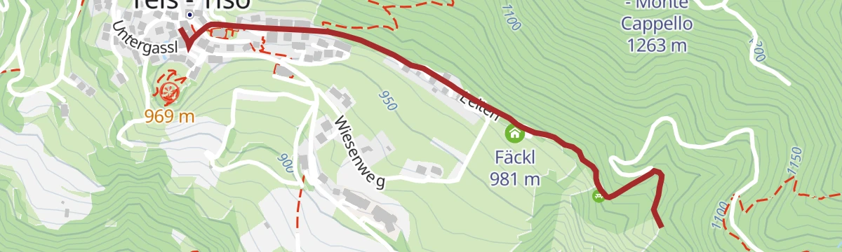
Open route VillnössGEO TRAIL - Demonstration mine
An easy walk to the ground where the Teis geodes are found, past stones that hum and stones that ring.
- 2.7 km
- Distance
- 85 m
- Ascent
- 50 min
- Duration
Open route VillnössZans-Kaserill-Wörndleloch-Zendlerser Kofel and back
A circuit from Zannes by the Kaserill dairy and the Woerndleloch to the weather cross on the Zendleser Kofel, over flower-rich meadow.
- 5.6 km
- Distance
- 772 m
- Ascent
- 3 h 6 min
- Duration
- 221
- Check-ins
- Zendleser Kofel 2 422 m
- Treffpunkt Zans 1 678 m
- Schlüterhütte - Rifugio Genova 2 306 m
- Ju dla Crusc - Kreuzkofeljoch - Passo Poma 2 340 m
- Kaserill-Alm – Malga Caserill 1 929 m
- Wörndle Loch Alm - Malga Busa 2 149 m
Open route VillnössDolorama 3. Stage
The third of four stages on the 61 km Dolorama route, which runs from the Rodengo pastures to Laion with the Dolomites in view.
- 15.7 km
- Distance
- 555 m
- Ascent
- 5 h 10 min
- Duration
- 182
- Check-ins
- Schlüterhütte - Rifugio Genova 2 306 m
- Utia Resciesa - Schutzhütte Raschötz - Rifugio Resciesa 2 170 m
- Gampen Alm - Malga Gampen 2 062 m
- Brogleshütte - Rifugio Malga Brogles 2 047 m
- Bredles - Broglessattel - Passo di Brogles 2 119 m
- Flitzer Scharte - Lacia da Fliz - Forcella di Valluzza 2 107 m
Open route LajenGeo-Trail - Botanical Instruction Trail
A short circuit over meadow and through wood above Teis, with boards on the geology and the plants of the area.
- 1.7 km
- Distance
- 82 m
- Ascent
- 36 min
- Duration
Open route VillnössCheese Round in the Puez Geisler Nature Park in Villnöss
A walk between the dairy huts of the Puez-Odle park at the head of the Funes valley, each with its own cheese.
- 8.3 km
- Distance
- 510 m
- Ascent
- 3 h 30 min
- Duration
- 145
- Check-ins
- Treffpunkt Zans 1 678 m
- Gampen Alm - Malga Gampen 2 062 m
- Kaserill-Alm – Malga Caserill 1 929 m
- Zanser Schwaige 1 692 m
- Wörndle Loch Alm - Malga Busa 2 149 m
Open route Valle Isarco - EisacktalSas dal Ega
A mountain route in wild country to the Sas dal Ega above the Funes valley, with short stretches of climbing.
- 16.5 km
- Distance
- 1 625 m
- Ascent
- 10 h 1 min
- Duration
- 172
- Check-ins
- Wasserkofel - Sas dal'Ega - Furchetta Grande 2 924 m
- Zanser Alm - Malga Zannes 1 680 m
- Treffpunkt Zans 1 678 m
- Kreuzjoch - Furcela de Munt de Furćia - Forcella di San Zenòn 2 293 m
- Tschantschenon 1 933 m
- Furcela dal'Ega - Wasserscharte - Forcella Mont dal'Ega 2 642 m
Open route VillnössGeo-Trail - Circular hike lake "Mesner Lacke"
An easy stroll to the Mesner Lacke pond, circled by a path with geology boards and level enough for wheelchairs and buggies.
- 792 m
- Distance
- 0 m
- Ascent
- 13 min
- Duration
Open route VillnössAdolf Munkel Trail
A walk along the foot of the Geisler group in Villnöß, from Zans past the Zanser Schwaige and up to the Brogleshütte.
- 12.4 km
- Distance
- 537 m
- Ascent
- 4 h 40 min
- Duration
- 135
- Check-ins
- Treffpunkt Zans 1 678 m
- Waldschenke 1 391 m
- Brogleshütte - Rifugio Malga Brogles 2 047 m
- Zanser Schwaige 1 692 m
Open route VillnössTo the Piz Duleda - Puez Group
A long climb to Piz Duleda, an exposed top in the Puez group with a wide view over the surrounding ranges.
- 16.2 km
- Distance
- 1 409 m
- Ascent
- 8 h 54 min
- Duration
- 154
- Check-ins
- Piz Duleda 2 909 m
- Treffpunkt Zans 1 678 m
- Kreuzjoch - Furcela de Munt de Furćia - Forcella di San Zenòn 2 293 m
- Furcela dla Roa - Roa-Scharte - Forcella della Roa 2 617 m
- Zanser Schwaige 1 692 m
- Tschantschenon 1 933 m
Open route VillnössGeo-Trail - Hill of the Holy Sepulchre
A very short walk to the Holy Sepulchre hill and its chapel, with trenches and a bunker left from the First World War.
- 519 m
- Distance
- 11 m
- Ascent
- 9 min
- Duration
Open route VillnössFrom Zans to Gampenalm
An easy climb out of the valley head past the Zanser Schwaige to the Gampen Alm, a dairy hut facing the Geisler peaks.
- 7.3 km
- Distance
- 394 m
- Ascent
- 2 h 49 min
- Duration
- 113
- Check-ins
Open route VillnössVia Malga Brogles to Resciesa
A long crossing through the Brogles valley to Resciesa and on to the Saltner Schweige dairy.
- 18.4 km
- Distance
- 1 156 m
- Ascent
- 8 h 20 min
- Duration
- 99
- Check-ins
- Waldschenke 1 391 m
- Brogleshütte - Rifugio Malga Brogles 2 047 m
- Cason 2 115 m
- Bredles - Broglessattel - Passo di Brogles 2 119 m
- Locia de San Piere de Funes - Peter Scharte - Forcella San Pietro 2 280 m
Open route VillnössGratschenberg circular walk in Teis
An easy circuit on the Gratschenberg above the village of Teis in the Funes valley.
- 4.9 km
- Distance
- 192 m
- Ascent
- 1 h 37 min
- Duration
Open route Valle Isarco - EisacktalOberflitz - Raschötz
A circuit up to the Resciesa ridge above Ortisei, crossing the Flitzer Scharte notch, with views over Val Gardena and the Villnöss valley.
- 13.4 km
- Distance
- 867 m
- Ascent
- 5 h 54 min
- Duration
- 49
- Check-ins
- Utia Resciesa - Schutzhütte Raschötz - Rifugio Resciesa 2 170 m
- Flitzer Scharte - Lacia da Fliz - Forcella di Valluzza 2 107 m
- Tschatterlin-Sattel - Sella Ciatterlin 1 973 m
Open route VillnössGünther Messner Trail
A demanding route named for the climber Günther Messner, mixing exposed path with cabled sections; a harness is advised and vertigo rules it out.
- 15.1 km
- Distance
- 1 181 m
- Ascent
- 7 h 38 min
- Duration
- 91
- Check-ins
Open route Villnöss
No routes of this kind in Funes/Villnöß yet.
The region's own picks

Featured route
Zans - Glatsch - Dusler - Zans
An easy circuit from Zans below the Odle spires, inside the Puez-Odle nature park.
Planning a trip to Funes/Villnöß?
Everything else Trentino-Alto Adige/Südtirol has, in one place


Take Funes/Villnöß with you into the mountains
Every route on this page with 3D terrain, GPX navigation and offline maps — including the valleys with no signal.
Data sources
- Official website: odlesdolomites.com ↗
- Routes and highlights: Villnöss, Sterzing, Pfitsch und Freienfeld, Valle Isarco - Eisacktal, Brixen, YesAlps, Val Gardena, San Vigilio Dolomites, Lajen
- Published as open data by the tourist boards named above.
- Region summary generated from the board's own material.
