
Curated by Sterzing, Pfitsch und Freienfeld
Fortezza/Franzensfeste
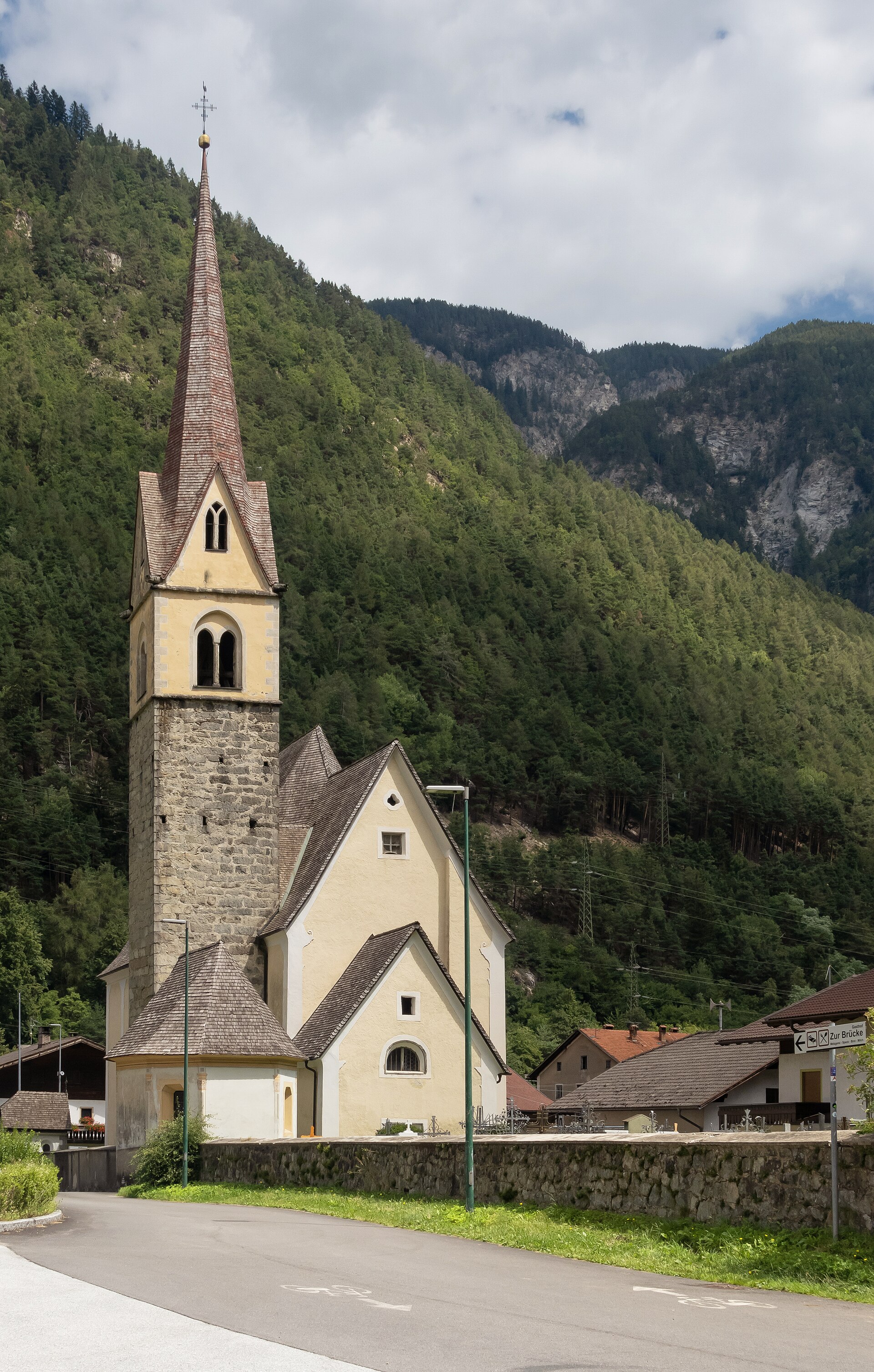
Village named for the Habsburg fortress that closes the Isarco valley, with the Vales side-valley climbing east.
- 1Highlights
- 16Routes
- Featured summit · Astenberg
Highlights
14 from neighbouring places
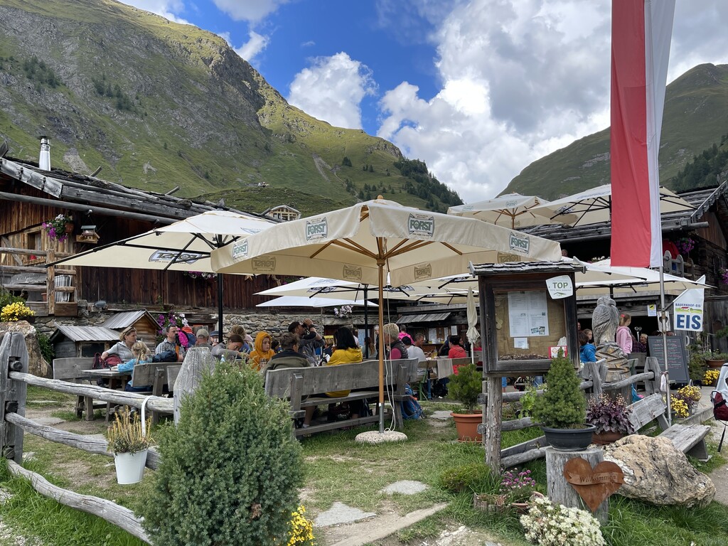
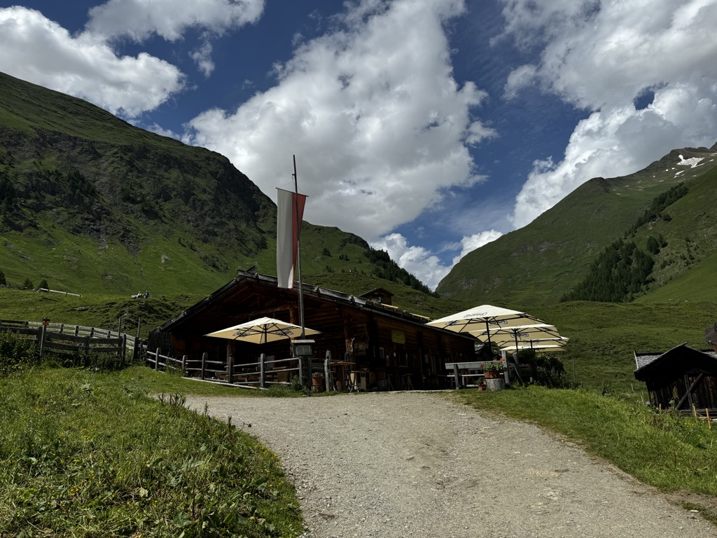
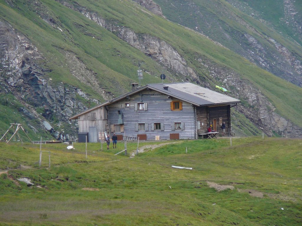
Malga di Ponteletto
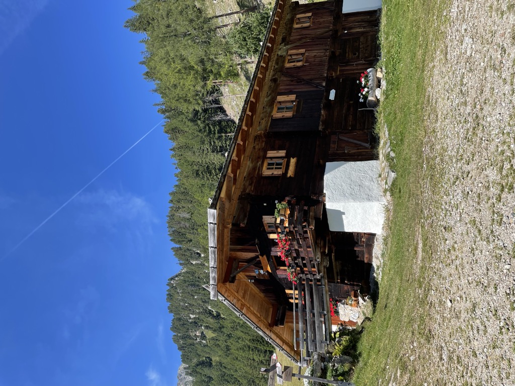
A dairy hut by the Lago di Puntleid above Fortezza, reached by the path from Mezzaselva in the Val Isarco.
Zirmaitalm
4.4 km away, in Varna/Vahrn
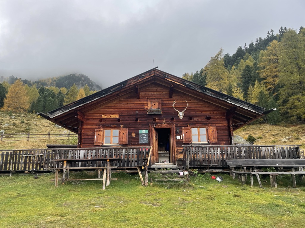
A dairy hut on the pastures above Varna, north of Bressanone in the Val Isarco.
Sterzing, Pfitsch und FreienfeldOchsenalm
5.6 km away, in Rio di Pusteria/Mühlbach
A pasture hut on the grassy slopes above Rio di Pusteria, reached by forest road from the Valles valley.
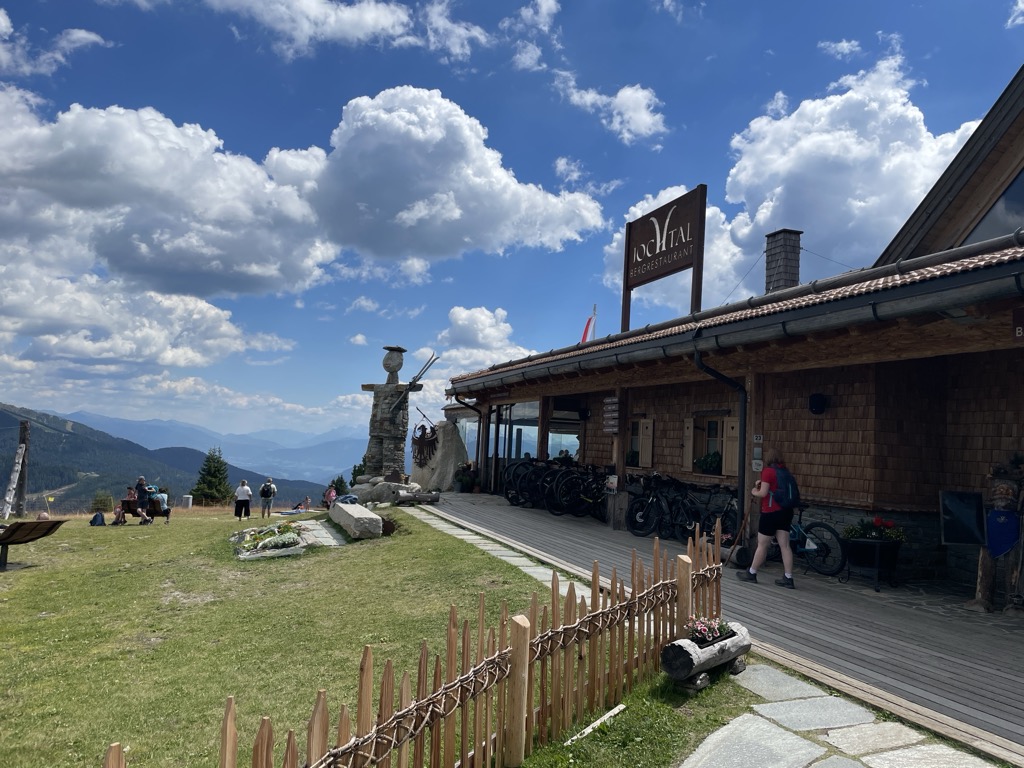
Sterzing, Pfitsch und FreienfeldBergrestaurant Jochtal
6.2 km away, in Rio di Pusteria/Mühlbach
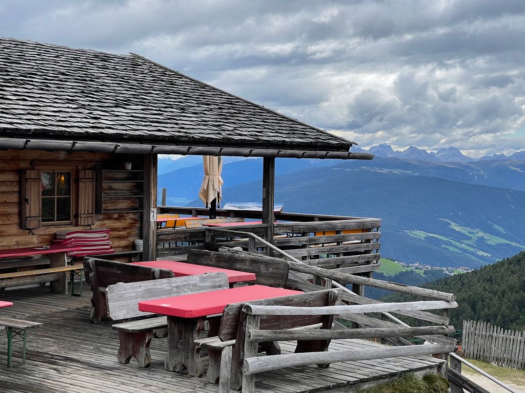
A mountain restaurant at the top of the Jochtal lift above Valles, in the Gitschberg-Jochtal area of the Val Pusteria.
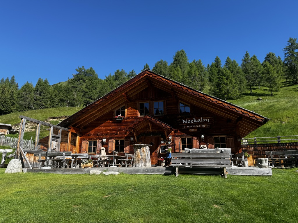
Nockalm
6.8 km away, in Rio di Pusteria/Mühlbach
A working dairy on the high pastures above Valles, in the comune of Rio di Pusteria.
Sterzing, Pfitsch und FreienfeldKurzkofel
9.2 km away, in Rio di Pusteria/Mühlbach
A pasture hut below the Kurzkofel above Rio di Pusteria, in the Pfunderer mountains north of the Val Pusteria.
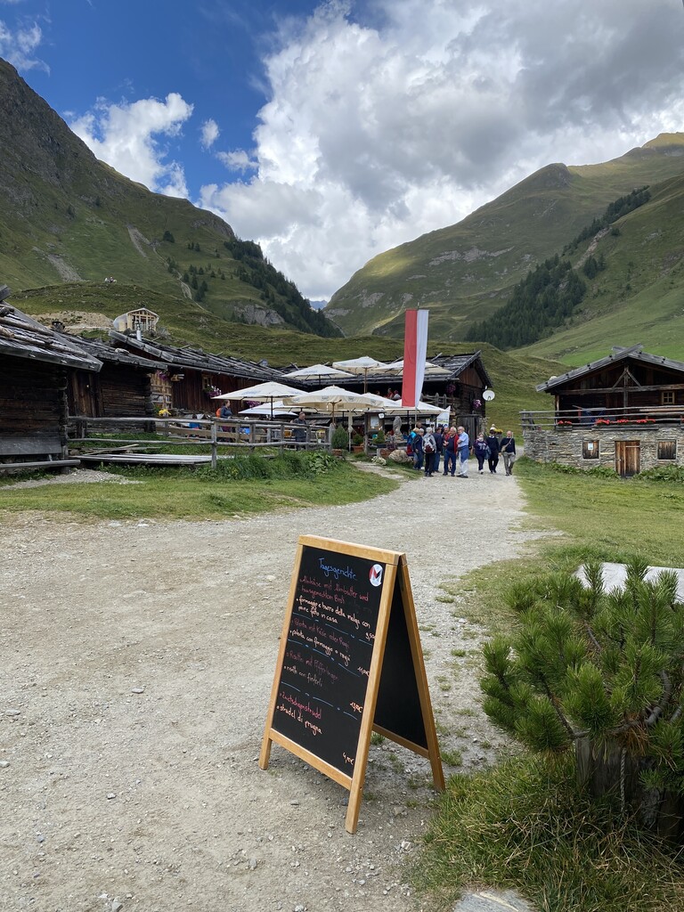
Sterzing, Pfitsch und FreienfeldMalga Fane
10.8 km away, in Rio di Pusteria/Mühlbach
A hamlet of timber dairy huts on the pastures at the head of the Valles valley, above Rio di Pusteria, reached by track from Valles.
Gatterer Hütte
10.8 km away, in Rio di Pusteria/Mühlbach
A pasture hut on the slopes above Rio di Pusteria, in the Valle di Valles.
Sterzing, Pfitsch und FreienfeldZingerle Hütte
10.8 km away, in Rio di Pusteria/Mühlbach
A pasture hut above Rio di Pusteria, on the walking paths of the Gitschberg-Jochtal side of the Val Pusteria.
Malga Kuttn
10.8 km away, in Rio di Pusteria/Mühlbach
A dairy hut on the open pasture above Rio di Pusteria, on the Valles side of the valley.
Sterzing, Pfitsch und FreienfeldWieserhütte
11.1 km away, in Rio di Pusteria/Mühlbach
A hut on the wooded slopes above Rio di Pusteria, reached on foot from the Valles road.
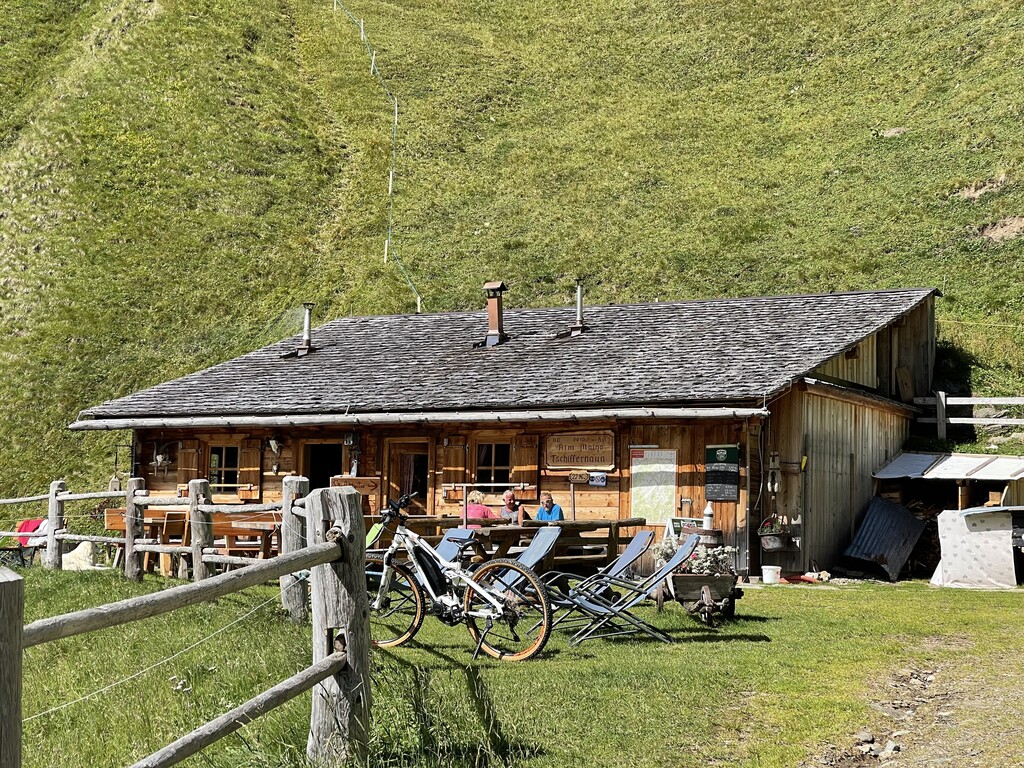
Tschiffernaun Alm
11.4 km away, in Rio di Pusteria/Mühlbach
A dairy hut on the Tschiffernaun pastures above Rio di Pusteria, in the mountains north of the Val Pusteria.
Sterzing, Pfitsch und FreienfeldRifugio Bressanone
13.7 km away, in Rio di Pusteria/Mühlbach
A refuge at the head of the Valles valley below the Cima di Pfunders, reached by the path that climbs past the Malga Fane.
Sterzing, Pfitsch und FreienfeldRifugio Chiusa al Campaccio
11 km away, in Chiusa/Klausen
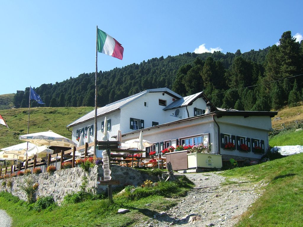
A refuge on the wooded slopes above Chiusa, on the long climb from the Val Isarco towards the Latzfonser Kreuz.
Nothing of this kind in Fortezza/Franzensfeste.
Routes
From Penserjoch pass to the Puntleider lake
A ridge walk from the Penser Joch over the Astenberg to the Puntleider Jöchl, then a steep drop to the lake and down to Grasstein.
- 13.6 km
- Distance
- 454 m
- Ascent
- 6 h 25 min
- Duration
- 55
- Check-ins
 Astenberg 2 367 m
- Niedereck - Dosso Basso 2 304 m
 Penser Joch - Passo di Pennes 2 211 m
 Alpenrosenhof 2 215 m
- See-Alm - Malga di Pontelletto 1 777 m
 Puntleider See - Lago di Pontelletto 1 850 m
- +5
Open route SterzingFrom Grasstein to Puntleider Lake
A long steep climb from Grasstein in the Isarco valley up to the Puntleider See at 1,850 m in the Sarntal Alps.
- 14.7 km
- Distance
- 1 297 m
- Ascent
- 8 h 11 min
- Duration
- 19
- Check-ins
- See-Alm - Malga di Pontelletto 1 777 m
- Puntleider See - Lago di Pontelletto 1 850 m
- Puntleider Alm - Malga Pontelletto 1 782 m
- Mahdl 1 419 m
- Fischnaller 1 188 m
- Kohler Bodn 1 468 m
- +4
Open route Valle Isarco - Eisacktal457 Dalle alture pittoresche al fascino delle città medievali: Da Castelrotto a Vipiteno
An e-bike traverse dropping from Castelrotto into the Eisacktal, then following the valley north to Vipiteno largely on surfaced roads.
- 65.4 km
- Distance
- 762 m
- Ascent
- 6 h 33 min
- Duration
- 80
- Check-ins
- Paterbichl 559 m
- Klammwirt 559 m
- Tourist Information 1 069 m
- Senfter 532 m
- Fürholz 554 m
- Hilm 488 m
- +10
Open route Seis am SchlernEisacktal Valley Bike Route: Brenner - Bozen
A long, almost entirely downhill valley ride from the Brenner border to Bozen, following the Eisack river the whole way.
- 96.5 km
- Distance
- 313 m
- Ascent
- 9 h 14 min
- Duration
- 185
- Check-ins
- Paterbichl 559 m
- Mila Bistro 282 m
- Klammwirt 559 m
- Hiasele 312 m
- Agrocenter Bozen OHG 296 m
- Senfter 532 m
- +22
Open route Gitschberg - JochtalHistorical Tour from Bressanone/Brixen to Fortezza|Franzensfeste
A themed valley walk from Brixen north to Franzensfeste, following the history trail along the Eisack.
- 11.8 km
- Distance
- 359 m
- Ascent
- 3 h 27 min
- Duration
- 23
- Check-ins
- Sandgrube Neuhäusler 637 m
- Nuevo Foodland 607 m
- Neuhäusler Hof 620 m
- Gasthaus zum See 695 m
- Wachhaus 827 m
- Pulvermagazin - Polveriera 833 m
- +2
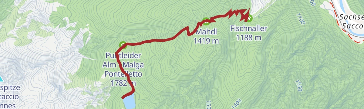
Open route Valle Isarco - EisacktalFrom Grasstein to Puntleider See Lake
A demanding climb from Grasstein to a mountain lake set in the little-changed country of the Sarntal Alps.
- 10.2 km
- Distance
- 943 m
- Ascent
- 5 h 53 min
- Duration
- 19
- Check-ins
- See-Alm - Malga di Pontelletto 1 777 m
- Puntleider See - Lago di Pontelletto 1 850 m
- Puntleider Alm - Malga Pontelletto 1 782 m
- Mahdl 1 419 m
- Fischnaller 1 188 m
- Kohler Bodn 1 468 m
- +3
Open route Brixen457 From picturesque heights to medieval town flair - from Kastelruth to Sterzing
A long valley ride from the terrace above the Eisack down to the river, then north past Paterbichl to Sterzing, mostly on paved paths.
- 65.0 km
- Distance
- 758 m
- Ascent
- 6 h 31 min
- Duration
- 76
- Check-ins
- Paterbichl 559 m
- Klammwirt 559 m
- Tourist Information 1 069 m
- Senfter 532 m
- Fürholz 554 m
- Hilm 488 m
- +9
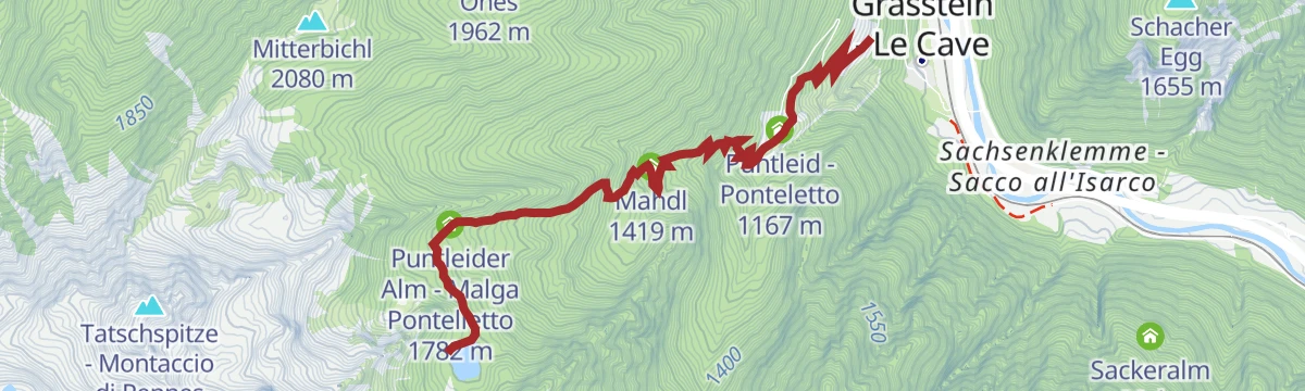
Open route SterzingHiking tour Lake Puntleid-Ponteletto
A steep climb through woods above Grasstein to the Puntleider Alm and the lake beyond, at its best with alpine roses or autumn larches.
- 4.9 km
- Distance
- 867 m
- Ascent
- 3 h 17 min
- Duration
- 16
- Check-ins
- See-Alm - Malga di Pontelletto 1 777 m
- Puntleider See - Lago di Pontelletto 1 850 m
- Puntleider Alm - Malga Pontelletto 1 782 m
- Mahdl 1 419 m
- Fischnaller 1 188 m
- Puntleid - Ponteletto 1 167 m
Open route BrixenFrom Mittewald to the Flaggerschartenhütte mountain hut at teh Flaggersee lake
A long climb from Mittewald up the little-known Flaggertal, past mountain forest, waterfalls and alp pasture, to the hut at the Flaggersee.
- 25.1 km
- Distance
- 1 675 m
- Ascent
- 11 h 17 min
- Duration
- 12
- Check-ins
- Flaggerschartenhütte - Rifugio Forcella Vallaga 2 481 m
- Flaggerscharte - Forcella Vallaga 2 436 m
- Rauter 818 m
- Innere Flaggeralm - Malga Vallaga di dentro 1 939 m
Open route BrixenPustertal Valley Bike Route: Bruneck - Franzenfeste
A leg of the Puster valley cycle path heading west from Brunico past Rio di Pusteria to the fortress at Fortezza.
- 34.7 km
- Distance
- 176 m
- Ascent
- 3 h 16 min
- Duration
- 52
- Check-ins
- Hotel Putzerhof 769 m
- Mühlbacher Torturm - Porta di Rio Pusteria 734 m
- Hotel Sonneck 782 m
- Mini Snack 745 m
- Touristik Information 764 m
- Informationsbüro St. Lorenzen 818 m
- +1
Open route Gitschberg - JochtalTo the Puntleider See lake
A climb on trail 14 from the Puntleid farms above Le Cave, through steep forest past the alp hut, to the Puntleider See at 1,850 m.
- 6.6 km
- Distance
- 669 m
- Ascent
- 4 h 6 min
- Duration
- 16
- Check-ins
- See-Alm - Malga di Pontelletto 1 777 m
- Puntleider See - Lago di Pontelletto 1 850 m
- Puntleider Alm - Malga Pontelletto 1 782 m
- Mahdl 1 419 m
- Fischnaller 1 188 m
Open route SterzingFrom Pfulters to the Puntleider See lake
A long climb from Pfulters up the Egg valley, past old military roadworks and the unstaffed Onser hut, to the Puntleider See at 1,850 m with a dairy near the shore.
- 18.0 km
- Distance
- 1 361 m
- Ascent
- 8 h 54 min
- Duration
- 7
- Check-ins
Open route SterzingTour in bicicletta da Vipiteno a Chiusa
A ride down the valley from Vipiteno to Chiusa, passing the Habsburg fortress at Fortezza and the old town centres on the way.
- 48.6 km
- Distance
- 137 m
- Ascent
- 4 h 35 min
- Duration
- 41
- Check-ins
- Paterbichl 559 m
- Klammwirt 559 m
- Senfter 532 m
- Fürholz 554 m
- Klausen Informationsbüro - Chiusa 533 m
- Tourismusverein Sterzing - Associazione Turistica 957 m
- +2
Open route Sterzing, Pfitsch und FreienfeldLonely and challenging: the Peissersteig
A quiet and demanding path above Franzensfeste, the old railway junction that now holds the south portal of the Brenner base tunnel.
- 9.6 km
- Distance
- 682 m
- Ascent
- 4 h 38 min
- Duration
- 2
- Check-ins
Open route BrixenBrenner Bike Route
A 50 km valley run south from the Brenner on the old railway alignment, through Gossensaß and Sterzing and on towards Vahrn.
- 50.8 km
- Distance
- 180 m
- Ascent
- 4 h 57 min
- Duration
- 35
- Check-ins
- Punterbühel 681 m
- Moidl Hof 1 325 m
- Gasthof Silbergasser 1 316 m
- Tourismusverein Sterzing - Associazione Turistica 957 m
- Biwak 963 m
- Waldheim 1 081 m
- +2
Open route GossensaßCycle tour from Sterzing to Klausen
A long valley run from the medieval centre of Sterzing past the fortress of Franzensfeste down to Klausen, dropping over 400 m overall.
- 48.5 km
- Distance
- 128 m
- Ascent
- 4 h 34 min
- Duration
- 28
- Check-ins
- Paterbichl 559 m
- Senfter 532 m
- Fürholz 554 m
- Klausen Informationsbüro - Chiusa 533 m
- Tourismusverein Sterzing - Associazione Turistica 957 m
- Work & Office Center Kampan 572 m
- +1
Open route Klausen, Barbian, Villanders, Feldthurns






No routes of this kind in Fortezza/Franzensfeste yet.
The region's own picks

Featured route
From Penserjoch pass to the Puntleider lake
A ridge walk from the Penser Joch over the Astenberg to the Puntleider Jöchl, then a steep drop to the lake and down to Grasstein.
Planning a trip to Fortezza/Franzensfeste?
Everything else Trentino-Alto Adige/Südtirol has, in one place


Take Fortezza/Franzensfeste with you into the mountains
Every route on this page with 3D terrain, GPX navigation and offline maps — including the valleys with no signal.
Data sources
- Official website: merano-suedtirol.it ↗
- Routes and highlights: Sterzing, Pfitsch und Freienfeld, Sterzing, Brixen, Valle Isarco - Eisacktal, Gitschberg - Jochtal, YesAlps, Seis am Schlern, Gossensaß, Klausen, Barbian, Villanders, Feldthurns
- Published as open data by the tourist boards named above.
- Region summary generated from the board's own material.
