
Curated by Schladming-Dachstein Tourismus
Forstau
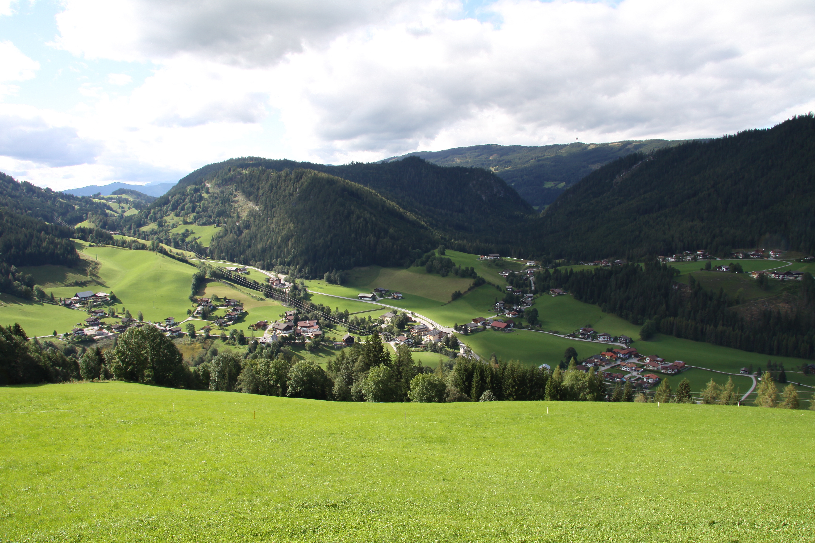
A dead-end valley climbing from the Ennstal toward the Fageralm pastures, one small village of some 550 people between Radstadt and Schladming.
Photo: 12345678 · CC BY-SA 3.0 licence
- 1Highlights
- 12Routes
- Featured summit · Eibenberg Kopf
Highlights
14 from neighbouring places
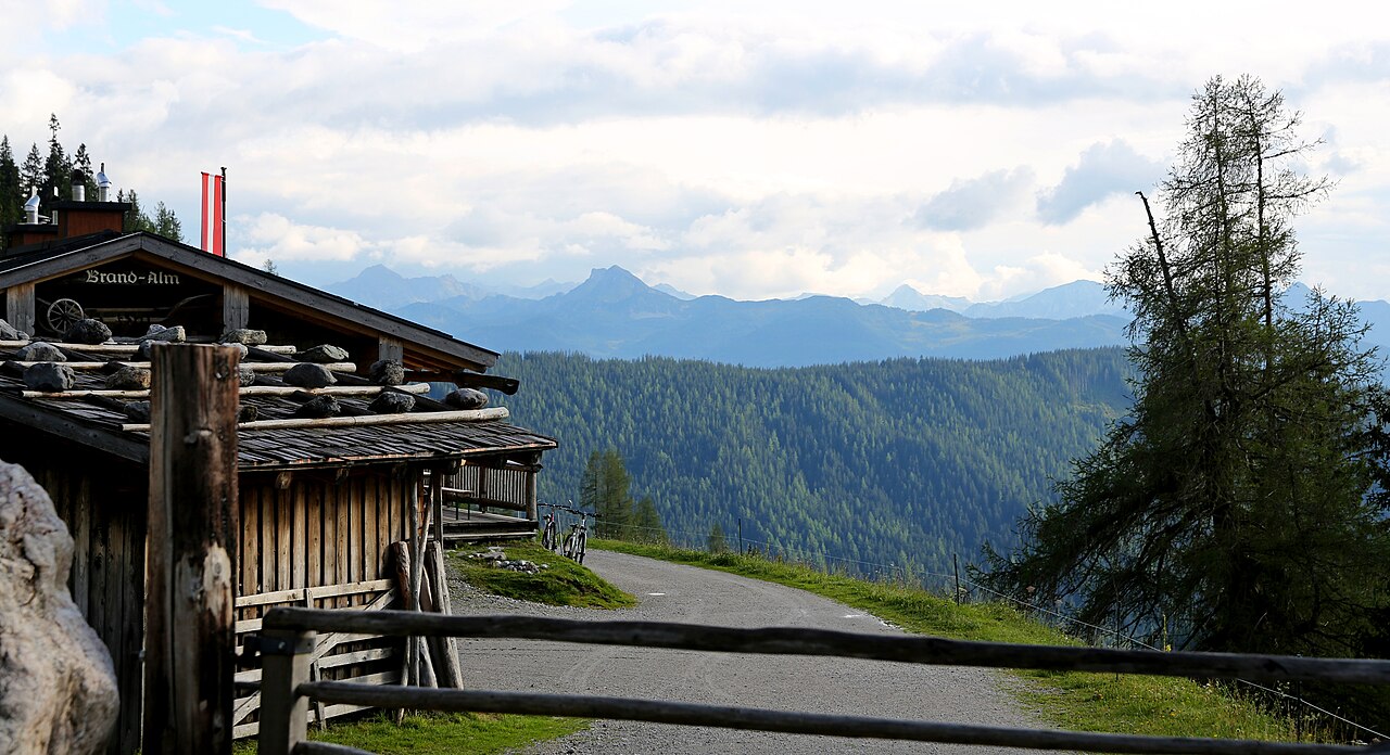
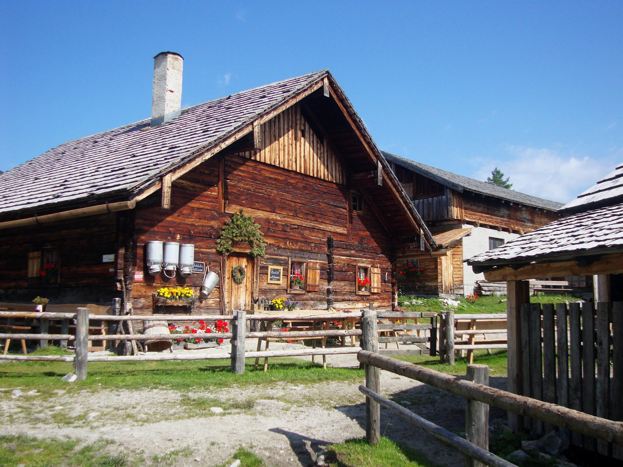
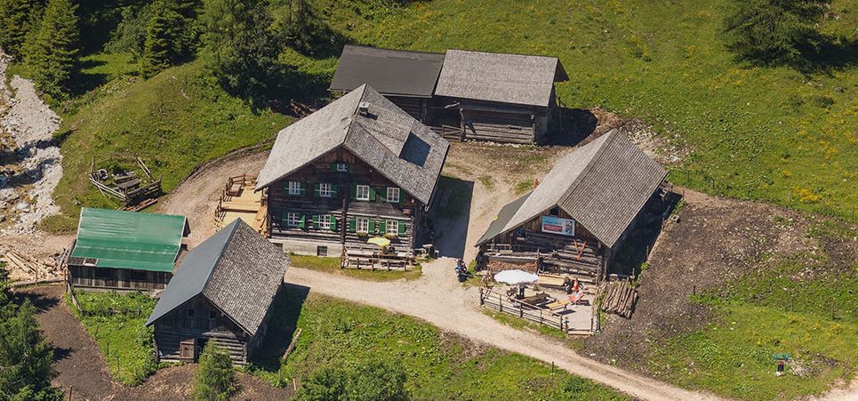
Fageralm
A pasture area above Forstau near the Reiteralm, known for its wide alp meadows and its cluster of traditional wooden huts.
Eiskar Trail | 100
5.2 km away, in Schladming
A mountain-bike trail numbered 100 on the Reiteralm side of the Schladming region, descending from the Eiskar area.
Tauernkarleitenalm
5.2 km away, in Untertauern
An alpine pasture hut on the slopes above Untertauern, on the way up towards the Radstädter Tauern pass.
Wildparkstüberl
5.4 km away, in Untertauern
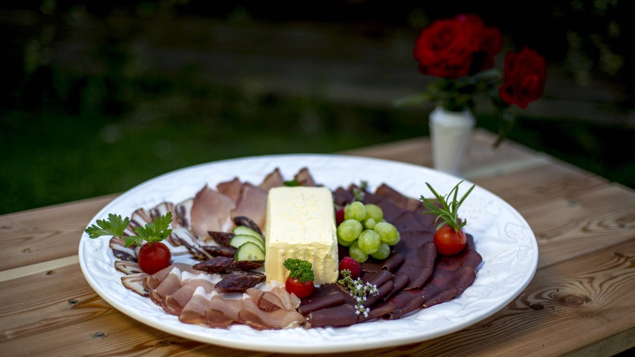
A snack parlour at the game park near Radstadt, serving regional and vegetarian dishes after a walk past the animal enclosures.
Innviertler Berggasthof
6.3 km away, in Radstadt
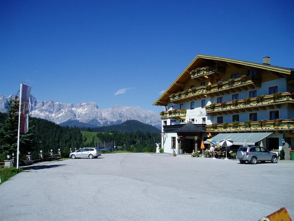
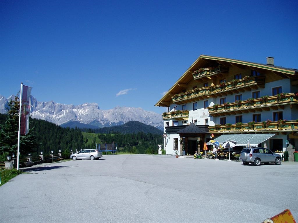
A mountain inn on the slopes east of Radstadt in the Pongau, reached on foot or by mountain road.
Hochzeitslocation: Innviertler Berggasthof
6.3 km away, in Radstadt
A mountain inn above Radstadt (858 m) that hosts weddings and celebrations, with regional and vegetarian cooking.
Mountain-GoKart
6.7 km away, in Schladming
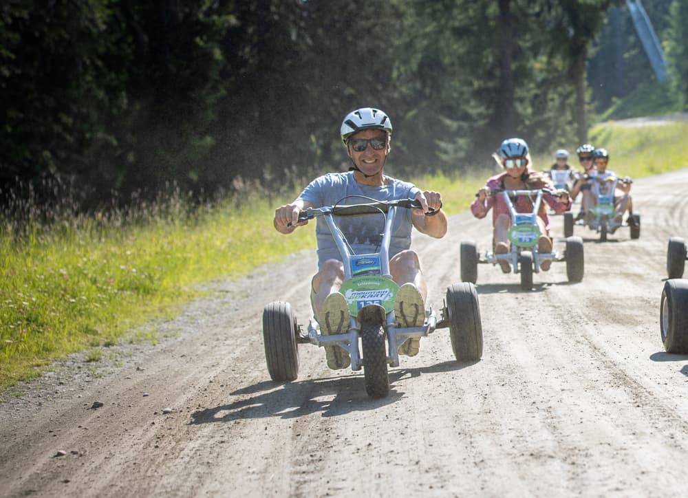
Non-motorised karts rolling down the Hochwurzen mountain road above Schladming, a summer descent of several kilometres.
Freizeitpark Pichl
7.7 km away, in Schladming
A bathing lake and leisure ground at Pichl west of Schladming, with swimming, lawns and play areas at the foot of the Reiteralm.
Pfarrkirche Pichl
8 km away, in Schladming
The parish church of Pichl west of Schladming, serving the village at the foot of the Reiteralm.
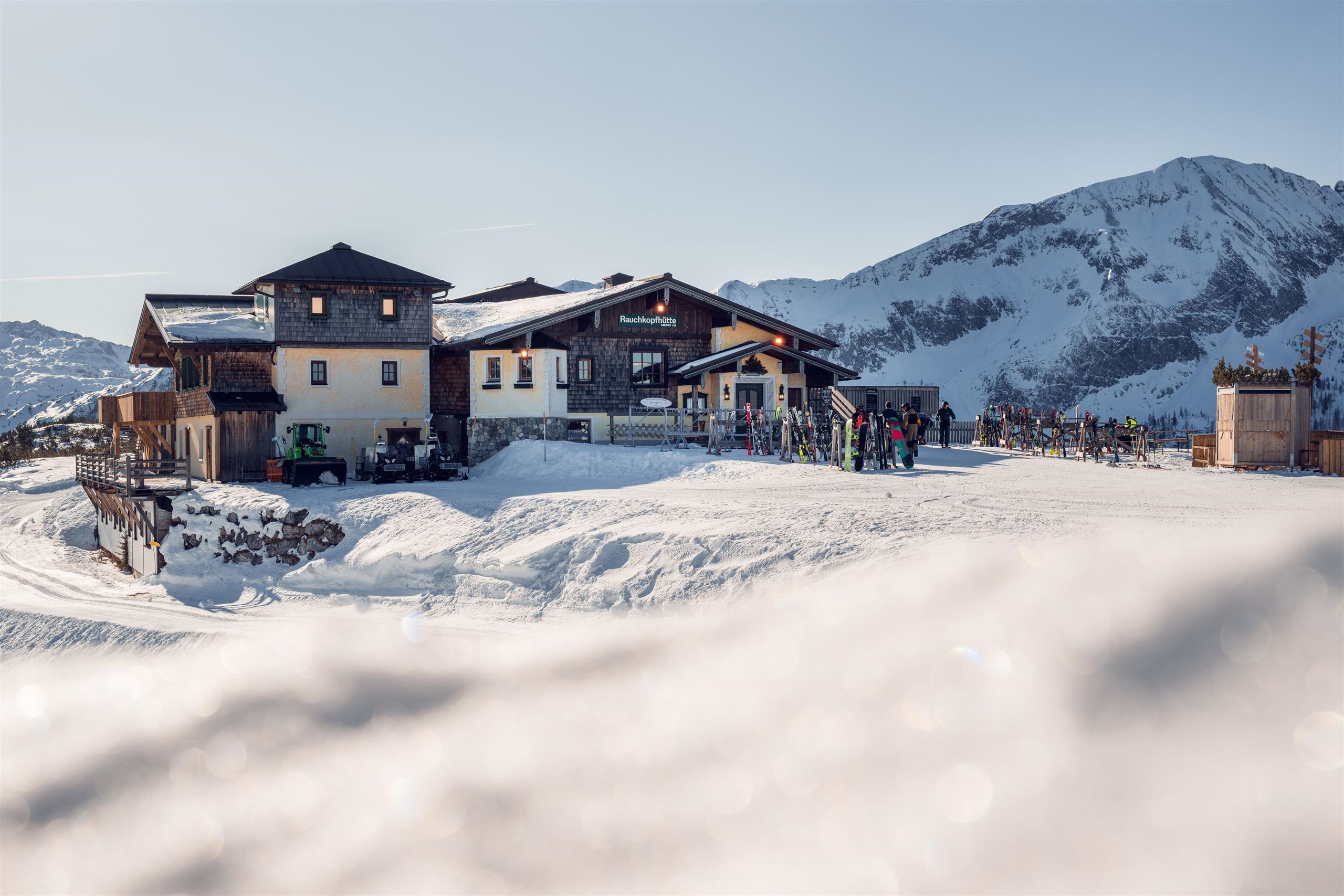
Rauchkopfhütte
8.2 km away, in Untertauern
A ski hut below the Rauchkopf in the Zauchensee ski area, serving regional dishes beside the pistes.
Familienwanderspaß "Alles Alm"
8.2 km away, in Untertauern
A themed family walking trail in the mountains near Radstadt, where play stations along the route explain everyday life on the alpine pastures.
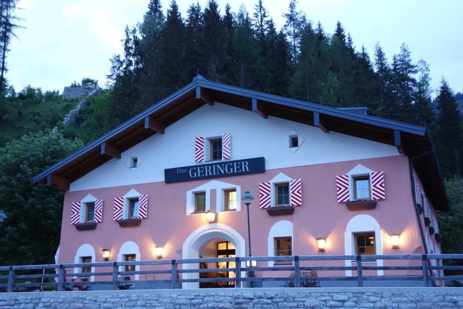
Das GERINGER
8.8 km away, in Schladming
A restaurant serving regional and vegetarian dishes near Radstadt, on the Salzburg side of the Schladming area.
Lodenmanufaktur Steiner 1888
8.8 km away, in Schladming
A working loden mill near Mandling by Radstadt, in business since 1888, where boiled-wool cloth is still produced and sold in the factory shop.
Huberhütte
8.8 km away, in Radstadt
A pasture snack hut above Radstadt in the Salzburg Pongau, serving regional and vegetarian dishes to walkers.
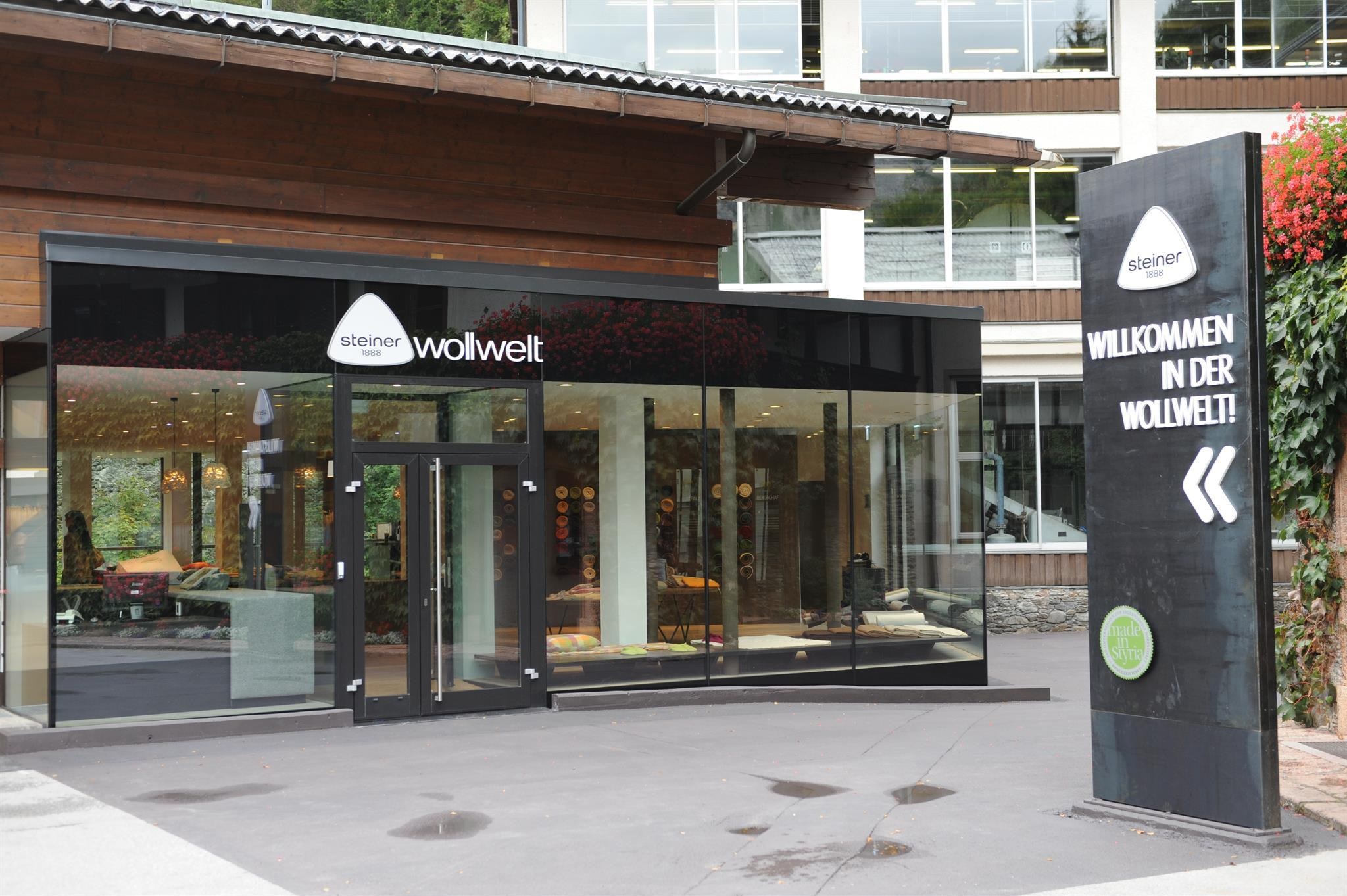
Lodenmanufaktur Steiner1888 (Führung)
8.9 km away, in Schladming
A guided tour of the Steiner 1888 loden mill at Mandling near Radstadt, where the family firm has been making boiled-wool fabric since 1888.
 Historic site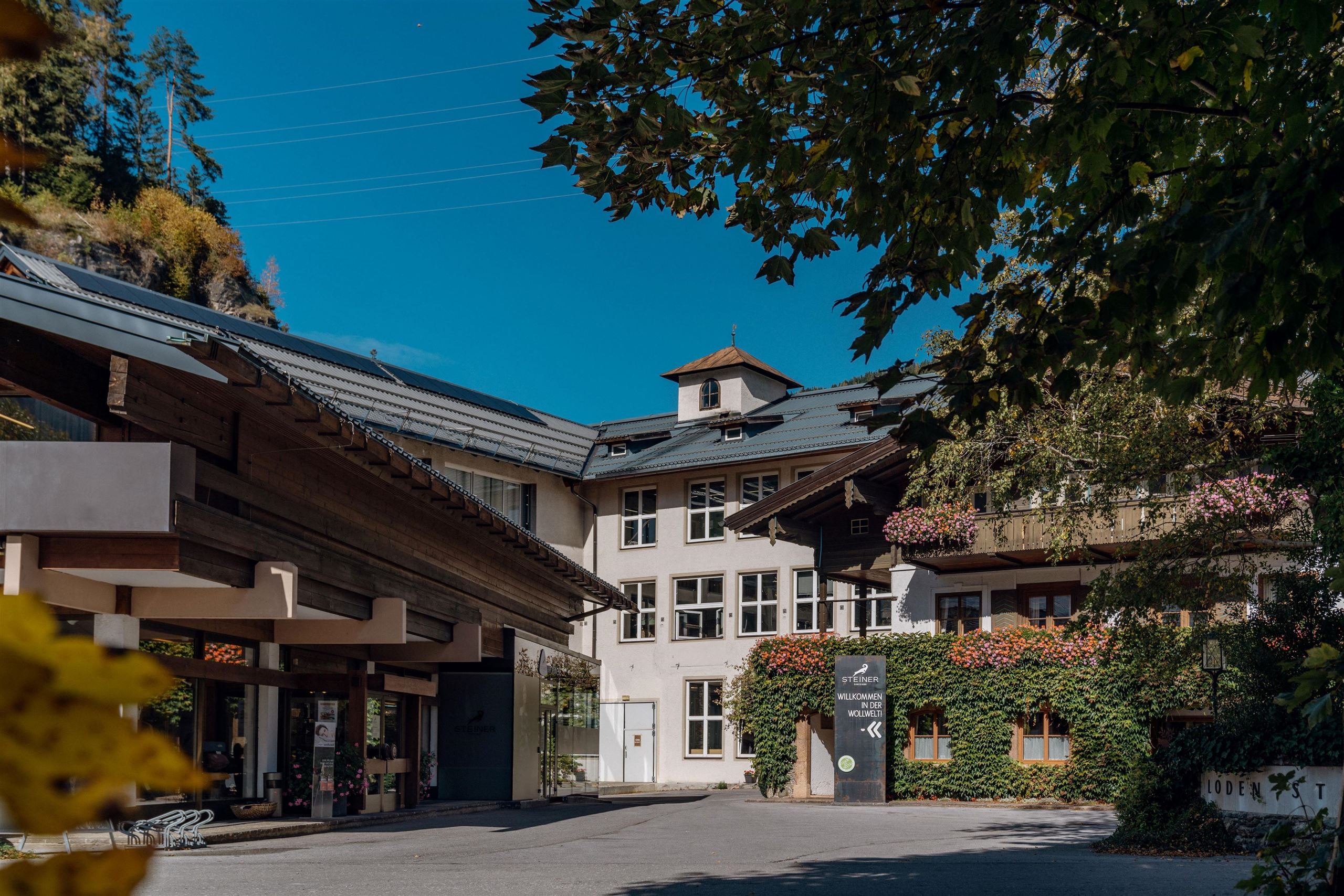
Nothing of this kind in Forstau.
Routes
Rundweg Klamml
A 10 km circuit past the Oberhütte am See and the Klammlsee to the Seekarscharte; the Klamml section calls for sure footing.
- 10.3 km
- Distance
- 706 m
- Ascent
- 4 h 43 min
- Duration
- 21
- Check-ins
 Brotrinnl 1 844 m
 Seekarscharte 2 026 m
 Oberhütte am See 1 869 m
- Vögeialm 1 360 m
 Klammlsee 1 825 m
Pistenskitour Fageralm
An on-piste touring route at the Fageralm ski area above Forstau, climbing past a string of alm huts — Trinkeralm, Zeffereralm, Lechneralm — to the Vorderfager before descending the slopes.
- 7.1 km
- Distance
- 915 m
- Ascent
- 915 m
- Descent
- 3 h 16 min
- Duration
- 12
- Check-ins
Variante Oberhütte (SW 12)
The shorter approach to the lakeside hut at 1,869 m, a compact climb from the Vögeialm on the Forstau side of the Brotrinnl.
- 7.7 km
- Distance
- 483 m
- Ascent
- 1 h 15 min
- Duration
- 11
- Check-ins
Graveltour Altenmarkt - Vögeialm
A gravel circuit from Altenmarkt over the Mandlingpass to the Vögeialm, returning by the Hintereggalm and Astlehen.
- 53.7 km
- Distance
- 837 m
- Ascent
- 5 h 33 min
- Duration
- 16
- Check-ins
Filzmoos - Ennstal Rennradrunde
A road circuit from Schladming down the Ennstal to Haus im Ennstal, then up to Filzmoos and back along the Ramsau terrace.
- 75.2 km
- Distance
- 1 284 m
- Ascent
- 7 h 53 min
- Duration
- 34
- Check-ins
Rund um den Rossbrand
A long circuit of the Rossbrand on forest and farm roads, passing the Dachsteinruhe and dropping to the Reiteralm.
- 52.4 km
- Distance
- 964 m
- Ascent
- 5 h 34 min
- Duration
- 14
- Check-ins
Ennsradweg - 1. Tagesetappe
The opening stage of the Enns cycle route, an almost flat run over the Mandlingpass and on down the valley past the Winklersee.
- 38.2 km
- Distance
- 96 m
- Ascent
- 3 h 29 min
- Duration
- 15
- Check-ins
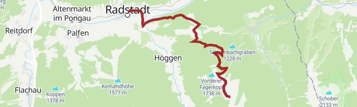
Fageralm Tour (SW 15)
A climb from Radstadt to the huts on the Fageralm, reaching the Trinkeralm and Zeffereralm at close to 1,750 m below the Vorderfager.
- 26.1 km
- Distance
- 952 m
- Ascent
- 3 h 13 min
- Duration
- 13
- Check-ins
Oberhüttensee Tour | SW 12
A long mountain-bike route above Forstau, climbing past the Vögeialm to the Oberhütte am See at 1,869 m below the Brotrinnl.
- 7.8 km
- Distance
- 499 m
- Ascent
- 1 h 18 min
- Duration
- 11
- Check-ins
Forstau Gravel-Bike-Tour
A gravel circuit from Schladming over the Mandlingpass, taking in the Hintereggalm and the Erblehenalm.
- 68.0 km
- Distance
- 926 m
- Ascent
- 6 h 54 min
- Duration
- 10
- Check-ins
Forstauwinkl Tour (SW 12)
A long ride from Radstadt into the Forstautal, following alm roads up to the Fallhausalm and Vögeialm at the head of the valley.
- 38.1 km
- Distance
- 993 m
- Ascent
- 4 h 19 min
- Duration
- 7
- Check-ins
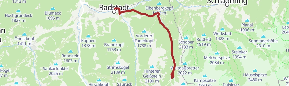
Eibenberg Runde (SW 11)
A circuit over the Brandscharte at 1,111 m on the Eibenberg, starting in Radstadt and passing the Fageralm valley station.
- 25.4 km
- Distance
- 538 m
- Ascent
- 2 h 46 min
- Duration
- 5
- Check-ins





No routes of this kind in Forstau yet.
The region's own picks
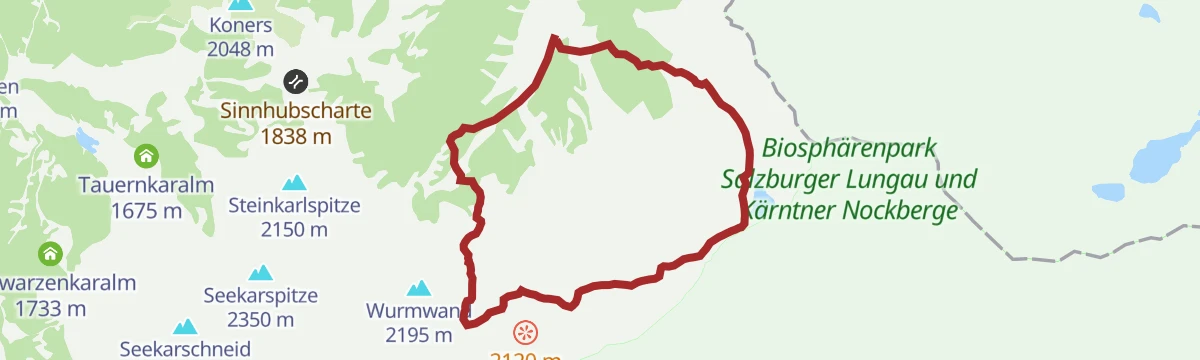
Featured route
Rundweg Klamml
A 10 km circuit past the Oberhütte am See and the Klammlsee to the Seekarscharte; the Klamml section calls for sure footing.
Planning a trip to Forstau?
Everything else Salzburg (state) has, in one place


Take Forstau with you into the mountains
Every route on this page with 3D terrain, GPX navigation and offline maps — including the valleys with no signal.
Data sources
- Official website: schladming-dachstein.at ↗
- Routes and highlights: Schladming-Dachstein Tourismus, Altenmarkt-Zauchensee Tourismus, Salzburger Sportwelt, Flachau Tourismus
- Published as open data by the tourist boards named above.
- Region summary generated from the board's own material.
