
Curated by Visit Ossola
Formazza
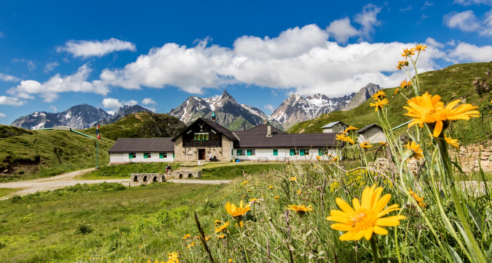
A Walser valley at the head of the Toce, with the Toce waterfall and the Maria Luisa hut below the Swiss border.
- 5Highlights
- 7Routes
Highlights
6 from neighbouring places
Toce-Wasserfall
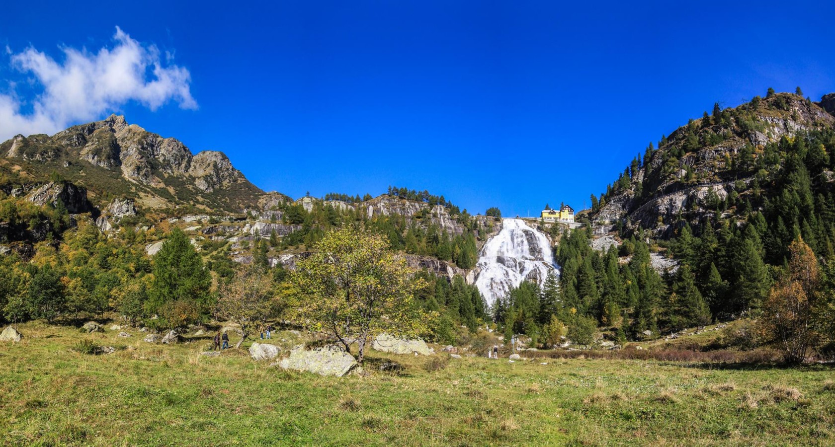
The Toce waterfall in the Val Formazza, a 143 m fall released to its full flow on summer weekends.
Cascata del Toce
The Toce waterfall at Formazza, the largest in the Alps by volume when the dam above releases it.
Casa Forte
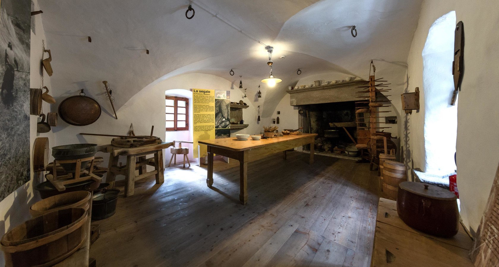
The Schtei Hüs at Formazza, a stone Walser house holding an ethnographic collection of the pass trade.
Formazza
The Val Formazza, the northernmost valley of Piedmont, settled by Walser farmers from the Valais.
Chiesa di San Giulio di Cravegna
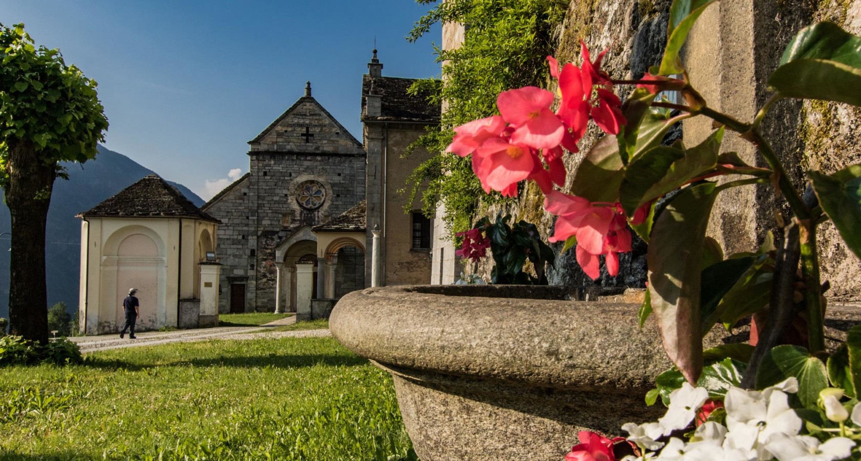
The church of San Giulio at Cravegna, recorded in 1291 and rebuilt in the baroque.
Terme di Premia
11 km away, in Premia
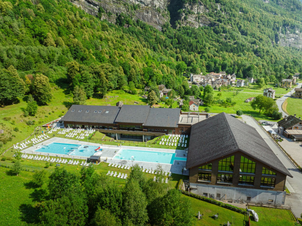
Thermal pools fed by a warm spring in the Valle Antigorio, open to the mountains.
Capanna Enrico Castiglioni
12.7 km away, in Baceno
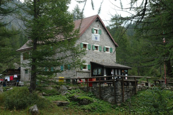
A hut at the northern end of the Alpe Devero plain, above Baceno.
Museo dell’Alpeggio all’Alpe Devero
13.3 km away, in Baceno
A museum of pasture farming on the Alpe Devero, opened in 2005 to record the valley's herding year.
Vie lunghe all’Alpe Devero
13.4 km away, in Baceno
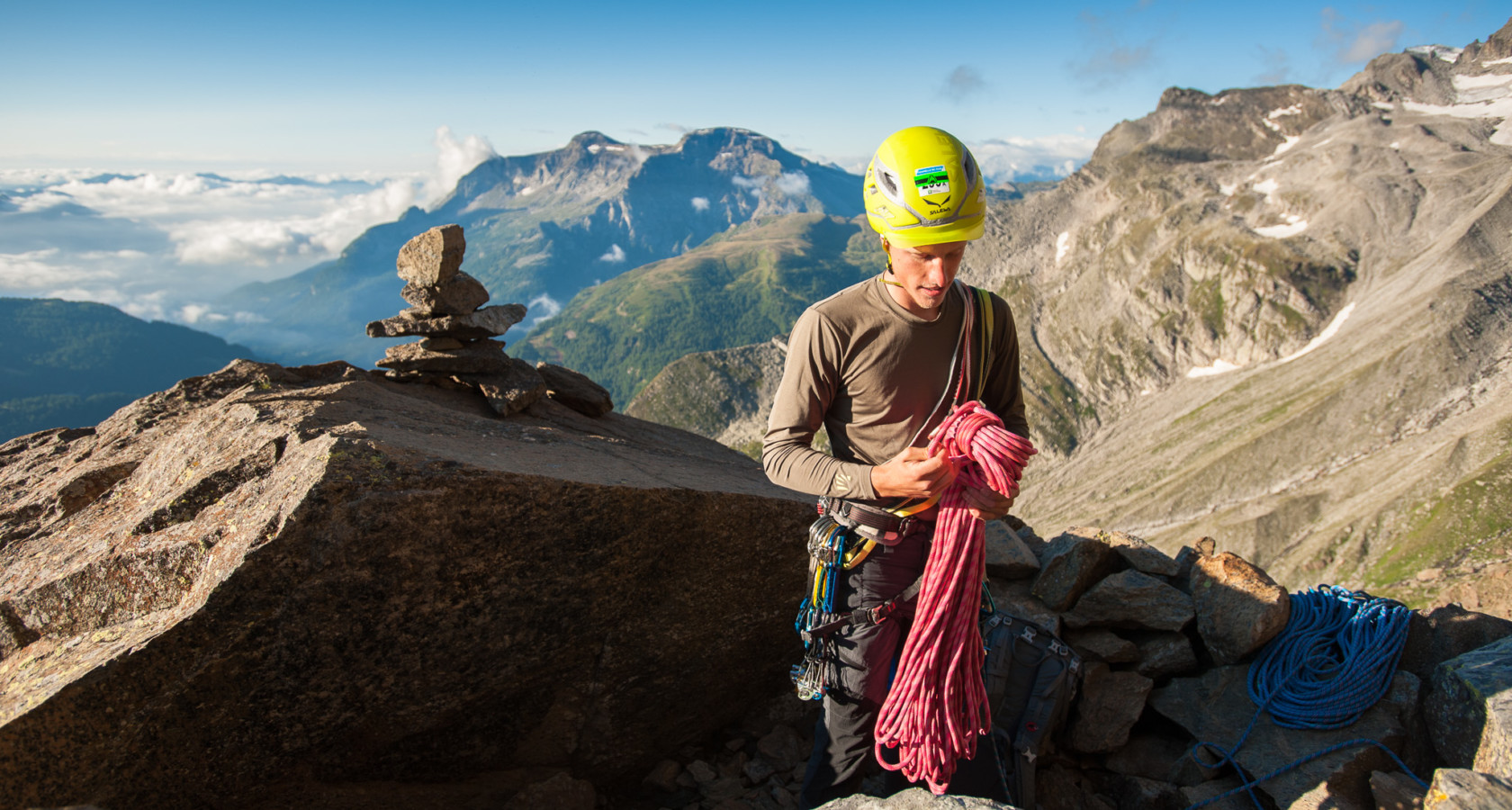
Long granite routes on the walls around the Alpe Devero, in the Veglia-Devero park.
Museo Mineralogico di Premia
14.2 km away, in Premia
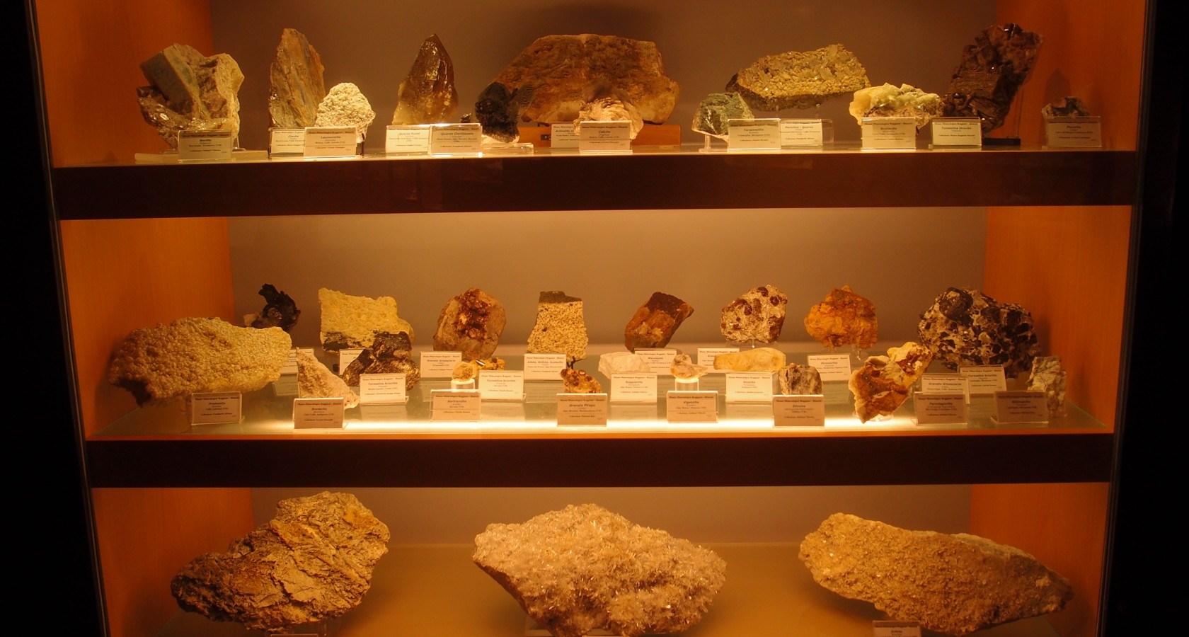
Minerals and crystals from the Ossola valleys, shown at Premia in the Valle Antigorio.
Torchio di Croveo
14.9 km away, in Baceno
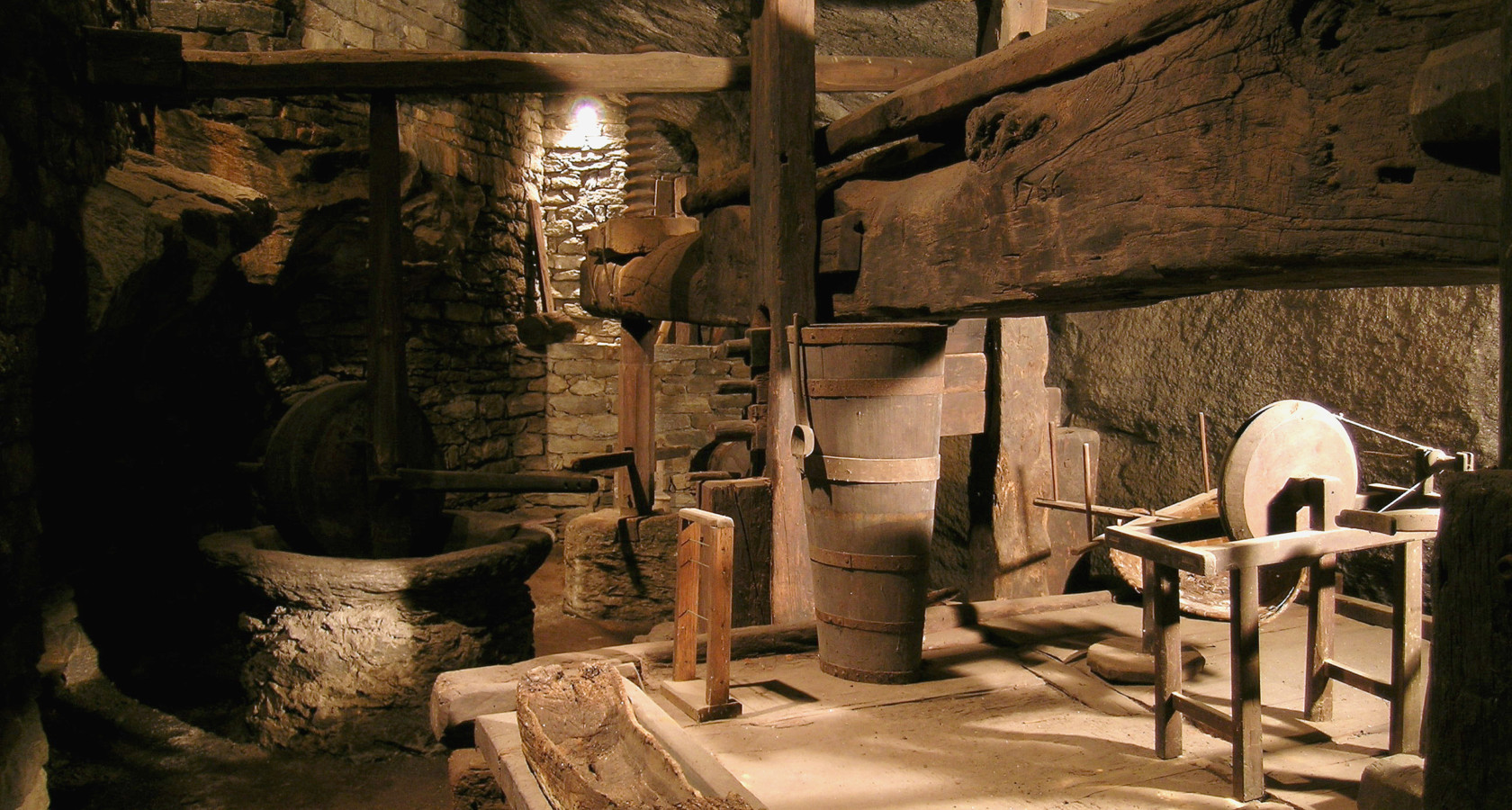
A great timber wine press at Croveo in the Valle Antigorio, of a kind once shared by whole hamlets.

 Historic site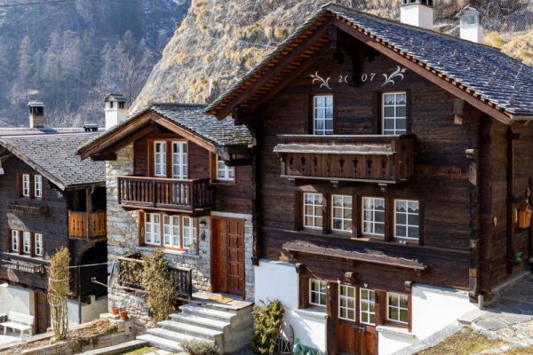
 Mountain hut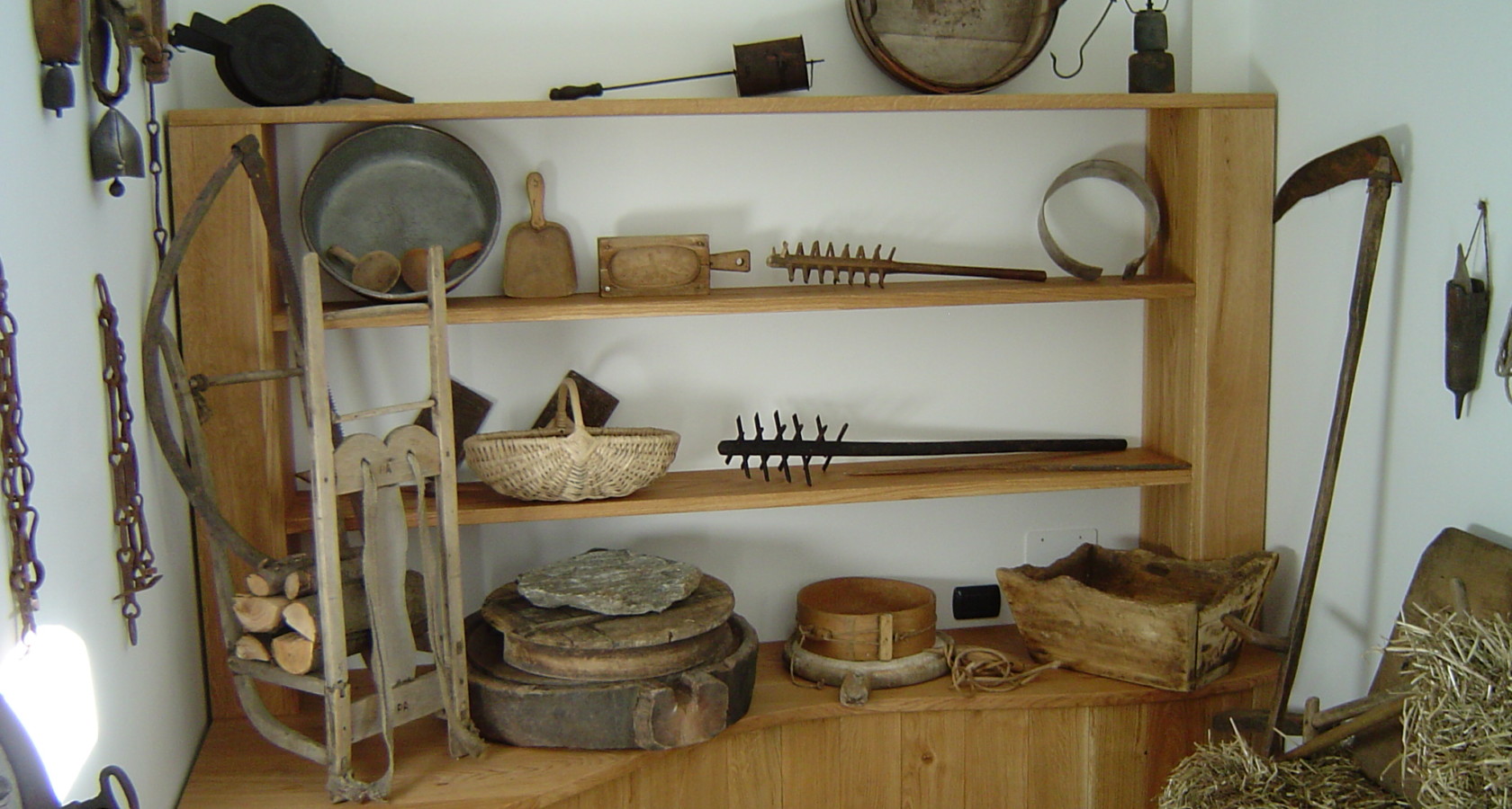
Nothing of this kind in Formazza.
Routes
3 from neighbouring places
PERCORSO SLOW TREK
An easy slow-trek route along the floor of the Val Formazza, through the Walser hamlets beside the Toce.
- 8.0 km
- Distance
- 150 m
- Ascent
- 2 h 14 min
- Duration
- 21
- Check-ins
Trekking
A long walk in the Val Formazza, the Walser valley at the head of the Toce above the Frua falls.
- 18.7 km
- Distance
- 627 m
- Ascent
- 6 h 25 min
- Duration
- 172
- Check-ins
MTB del Toce
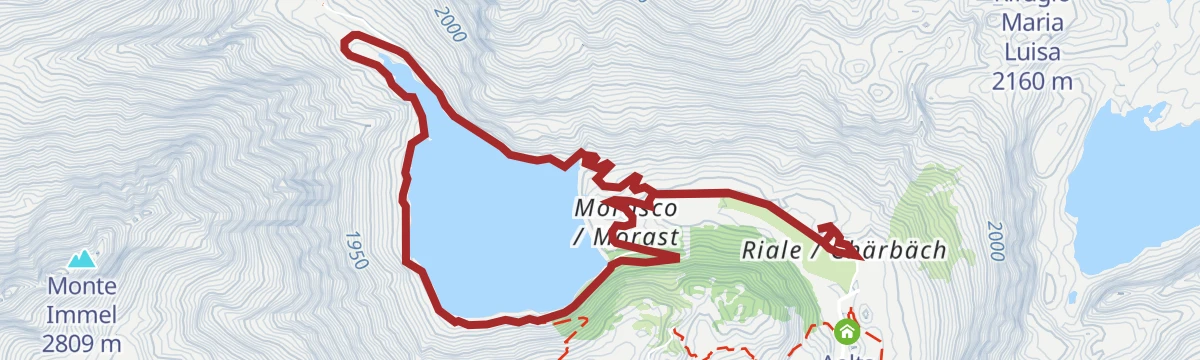
A long climb up Val Formazza to Passo di San Giacomo at 2,313 m, passing Aalts Dorf, the Laghetto Valgeis and Rifugio Maria Luisa.
- 52.4 km
- Distance
- 2 313 m
- Ascent
- 6 h 50 min
- Duration
- 214
- Check-ins
Via dello Sbrinz
A steep stage of the Sbrinz route, the old cheese-carriers' way over the Alps from the Val Formazza into central Switzerland.
- 6.6 km
- Distance
- 485 m
- Ascent
- 2 h 22 min
- Duration
- 73
- Check-ins
Mountain bike
A steep Val Formazza ride from Sottofrua up to Passo di San Giacomo, with Rifugio Maria Luisa and the Laghetto Valgeis near the top.
- 53.0 km
- Distance
- 2 250 m
- Ascent
- 6 h 7 min
- Duration
- 199
- Check-ins
MTB del Toce Tappa 3: Formazza
A stage from the Toce waterfall up the Val Formazza to Rifugio Maria Luisa and on to the Passo di San Giacomo at 2,313 m.
- 16.0 km
- Distance
- 2 313 m
- Ascent
- 5 h 5 min
- Duration
- 185
- Check-ins
MTB del Toce Tappa 2: Premia
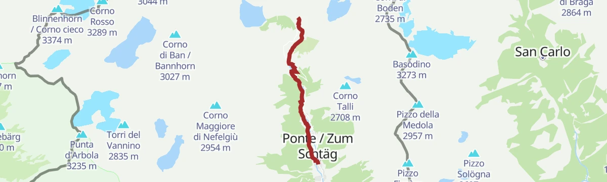
A climbing stage up the Toce valley from Piedilago to Premia and on past Sagersboden to the hamlets of Ponte and Fondovalle.
- 18.7 km
- Distance
- 1 284 m
- Ascent
- 3 h 15 min
- Duration
- 23
- Check-ins
 Fondovalle 1 215 m
- Piedilago 720 m
Escursioni
14.8 km away, in Baceno
A short climb from Baceno up to the hamlet of Osso on the flank of the Antigorio valley.
- 6.6 km
- Distance
- 379 m
- Ascent
- 2 h 39 min
- Duration
- 4
- Check-ins
Via Arbola Tappa 2: Alpe Devero
13.1 km away, in Baceno
The second stage of the Via Arbola, based on the Alpe Devero above Baceno, with a heavy day of climbing in the high Ossola.
- 21.0 km
- Distance
- 2 409 m
- Ascent
- 14 h 27 min
- Duration
- 105
- Check-ins
PERCORSO MTB
13.2 km away, in Baceno
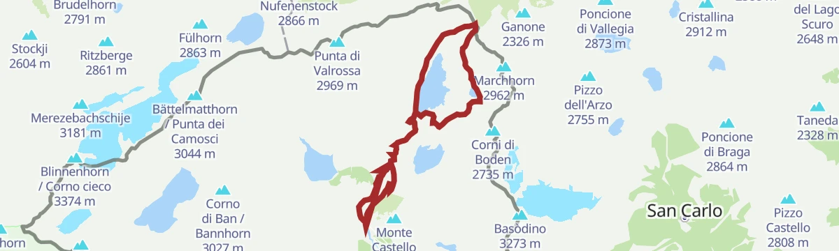
A gravel ring above Alpe Devero, climbing past the two Sangiatto lakes to the Bettelmatt pastures by way of Alpe Crampiolo.
- 21.6 km
- Distance
- 760 m
- Ascent
- 2 h 38 min
- Duration
- 155
- Check-ins




No routes of this kind in Formazza yet.
Planning a trip to Formazza?
Everything else Piedmont has, in one place


Take Formazza with you into the mountains
Every route on this page with 3D terrain, GPX navigation and offline maps — including the valleys with no signal.
Data sources
- Official website: visitossola.it ↗
- Routes and highlights: Visit Ossola, Distretto dei Laghi, Piemonte Outdoor, Visitbaceno
- Published as open data by the tourist boards named above.
- Region summary generated from the board's own material.
