
 Viewpoint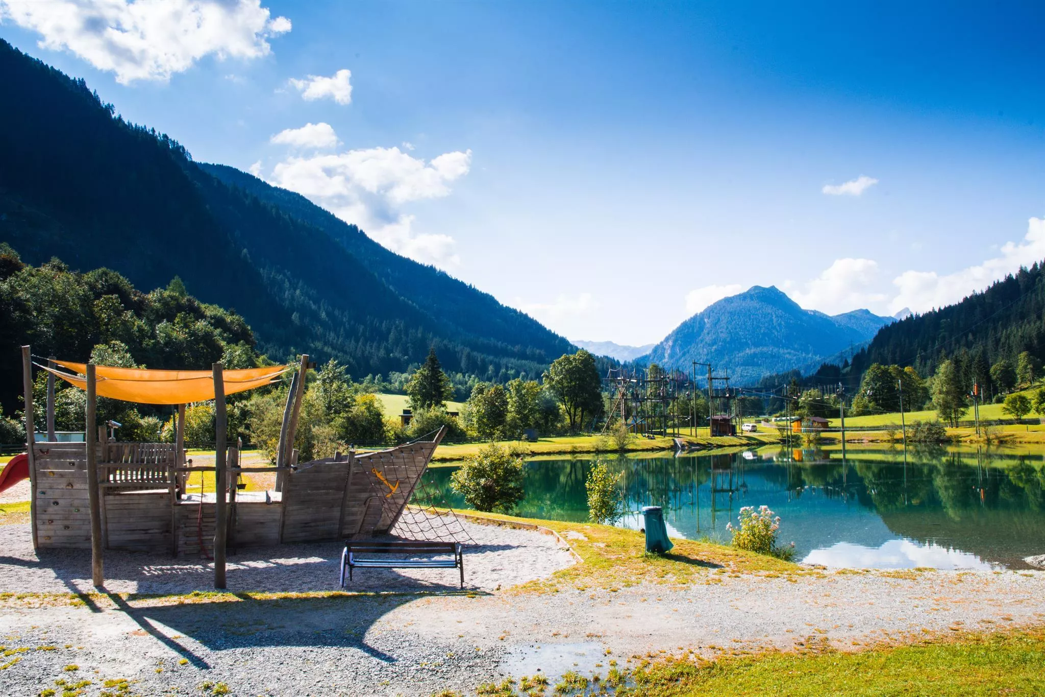
 Historic site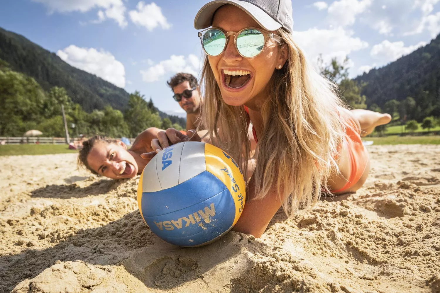
 Via ferrata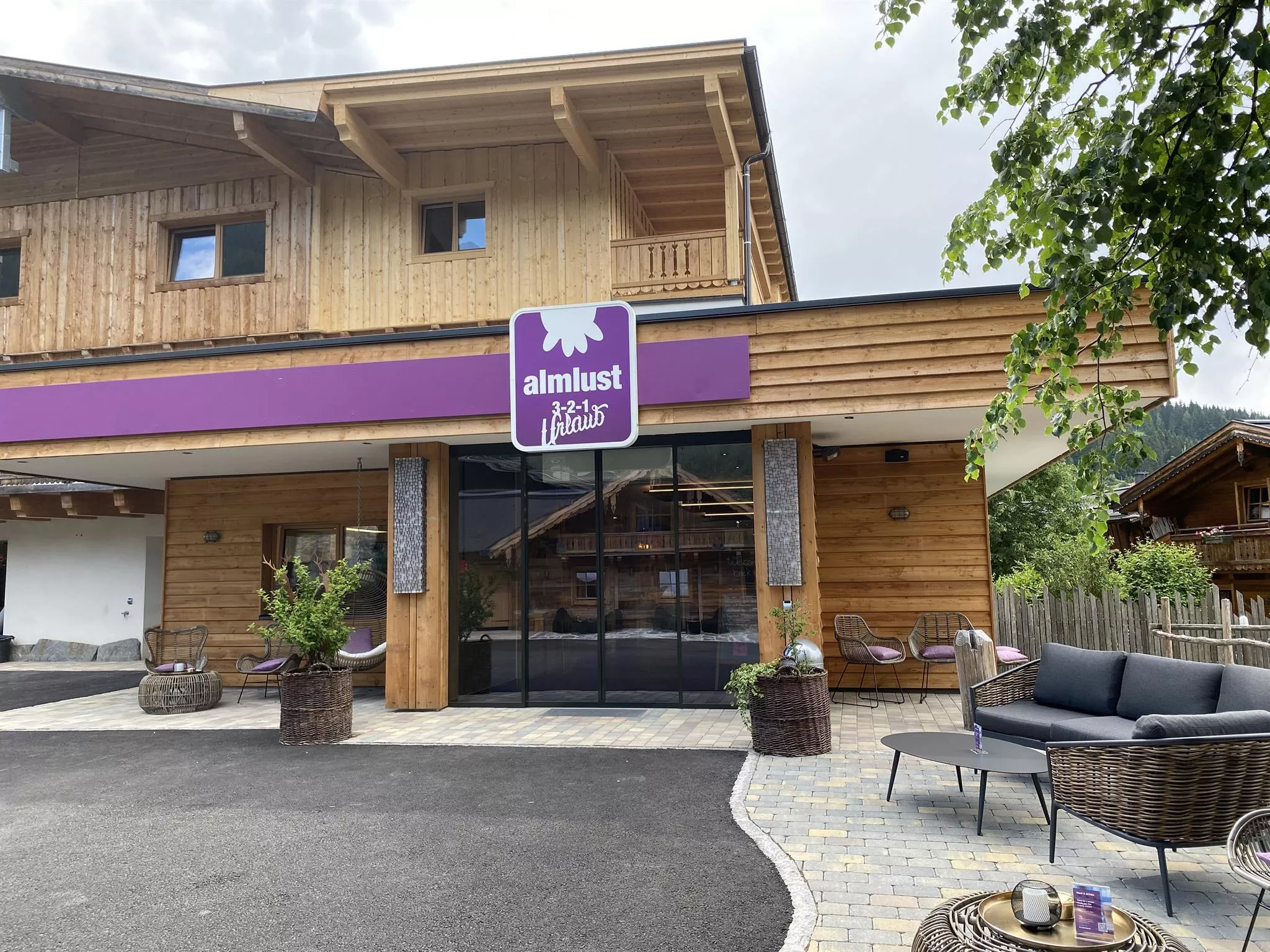
 Cable car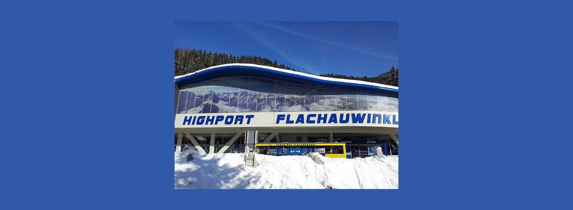





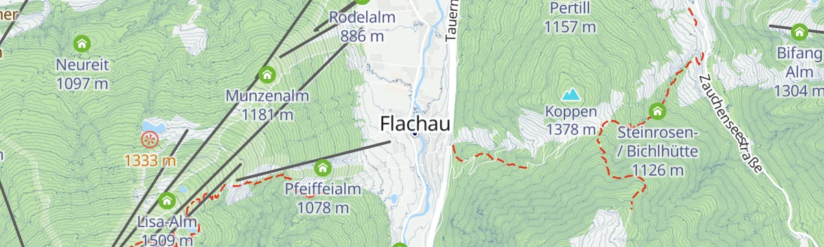
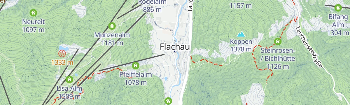
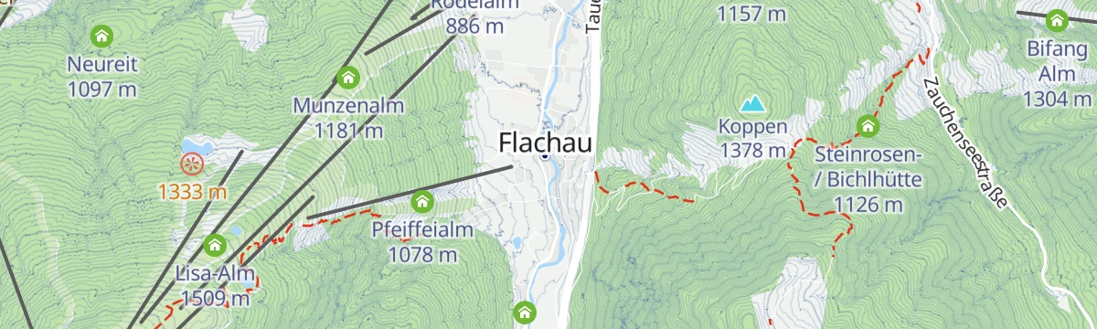
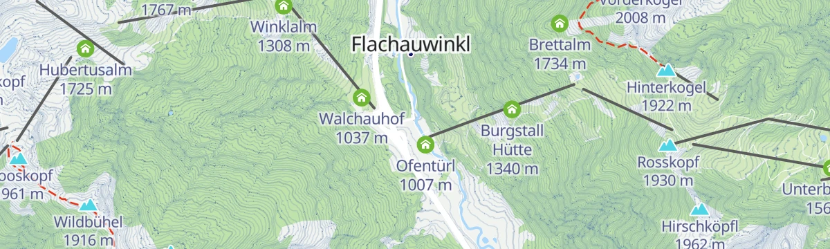

Curated by Flachau Tourismus
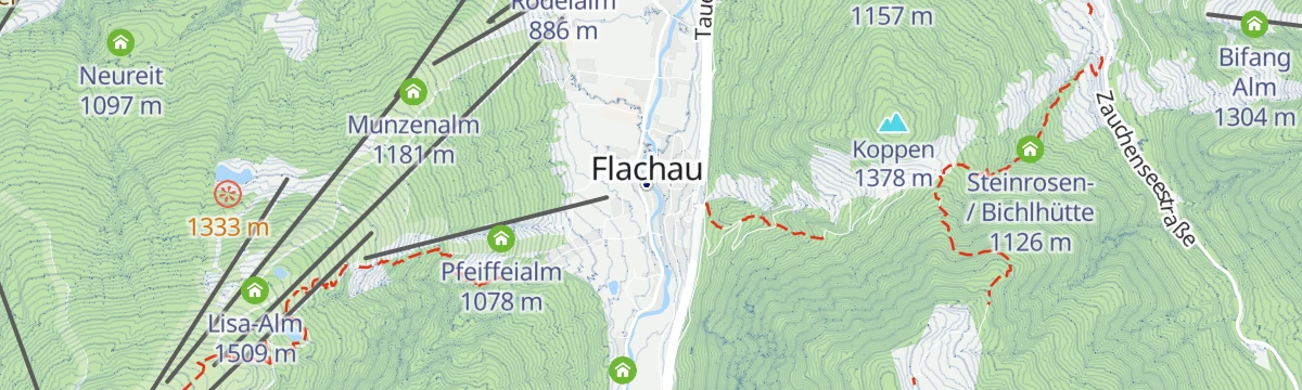
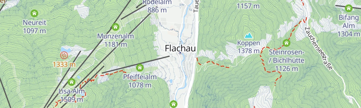
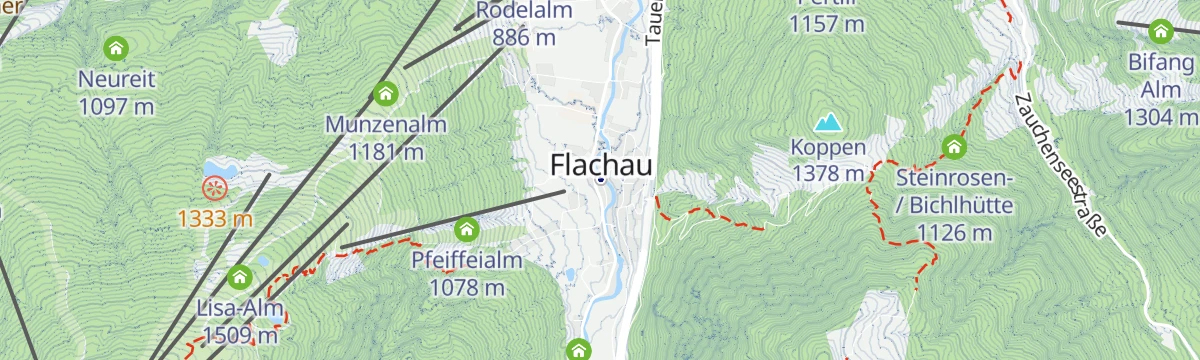
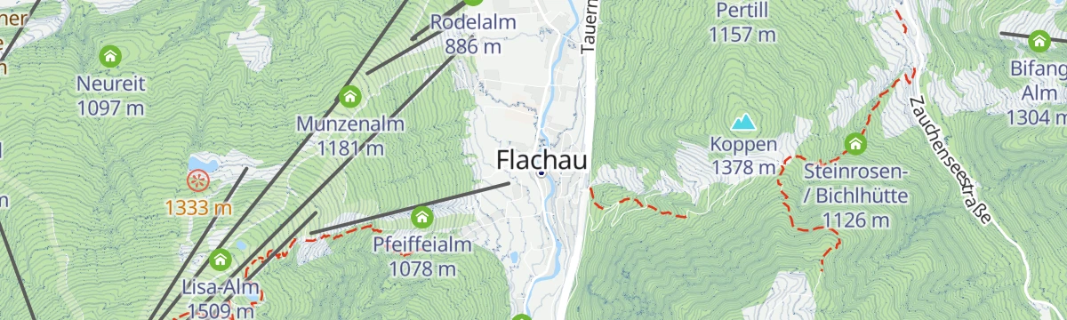
Flachau
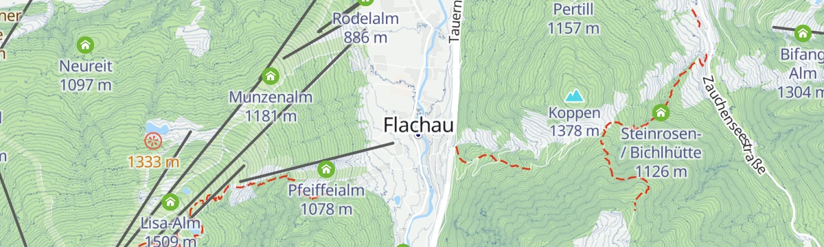
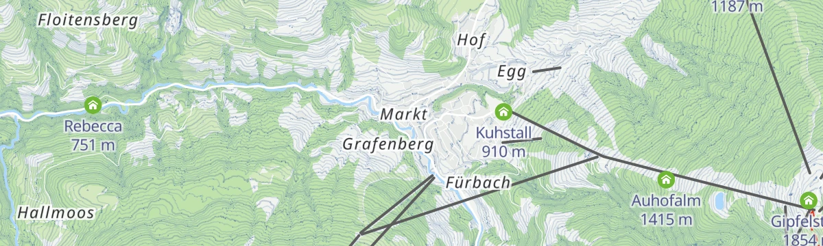
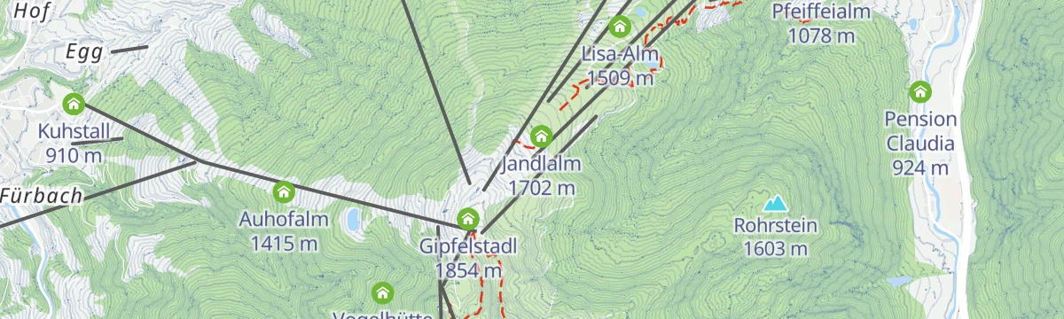
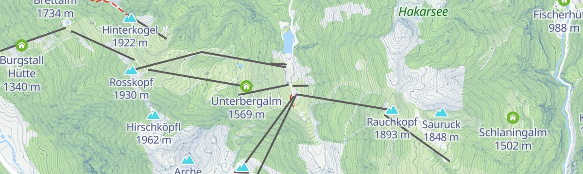
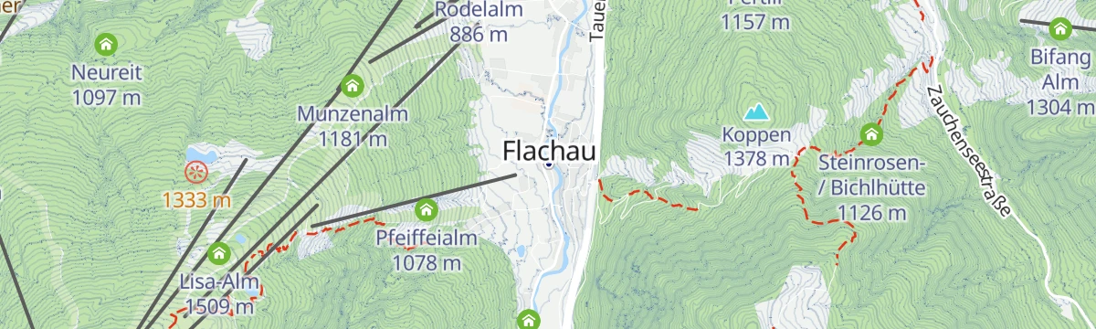
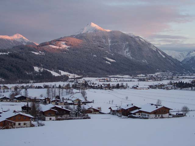
Ski village in its own side valley south of the Ennstal, one corner of the Snow Space Salzburg lift network and home ground of downhill great Hermann Maier.
Photo: JFKCom · CC BY-SA 3.0 licence
- 27Highlights
- 138Routes
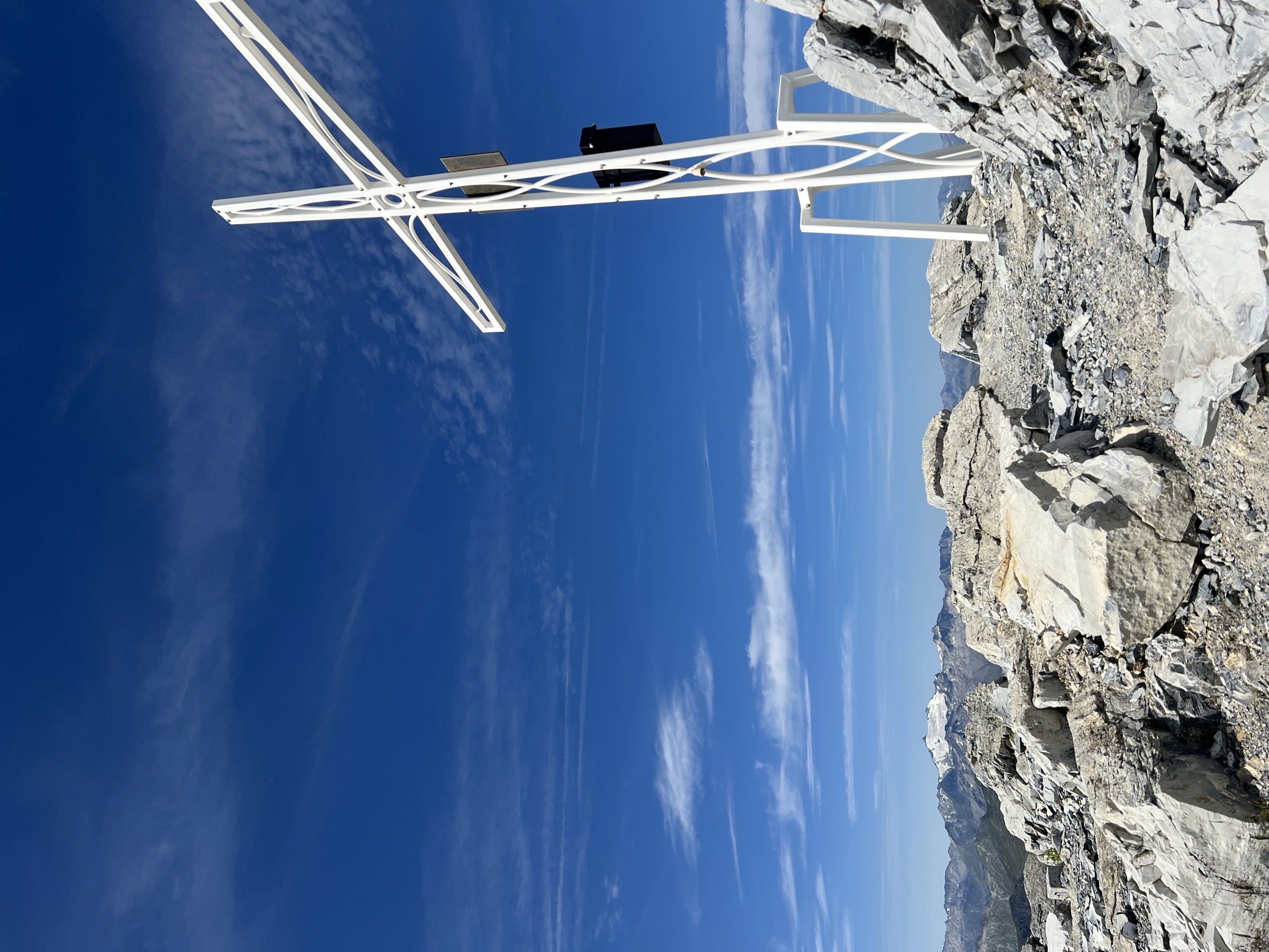
- Featured summit · Mosermandl
Highlights
The 20 highest-rated · see the rest on flachau.com ↗
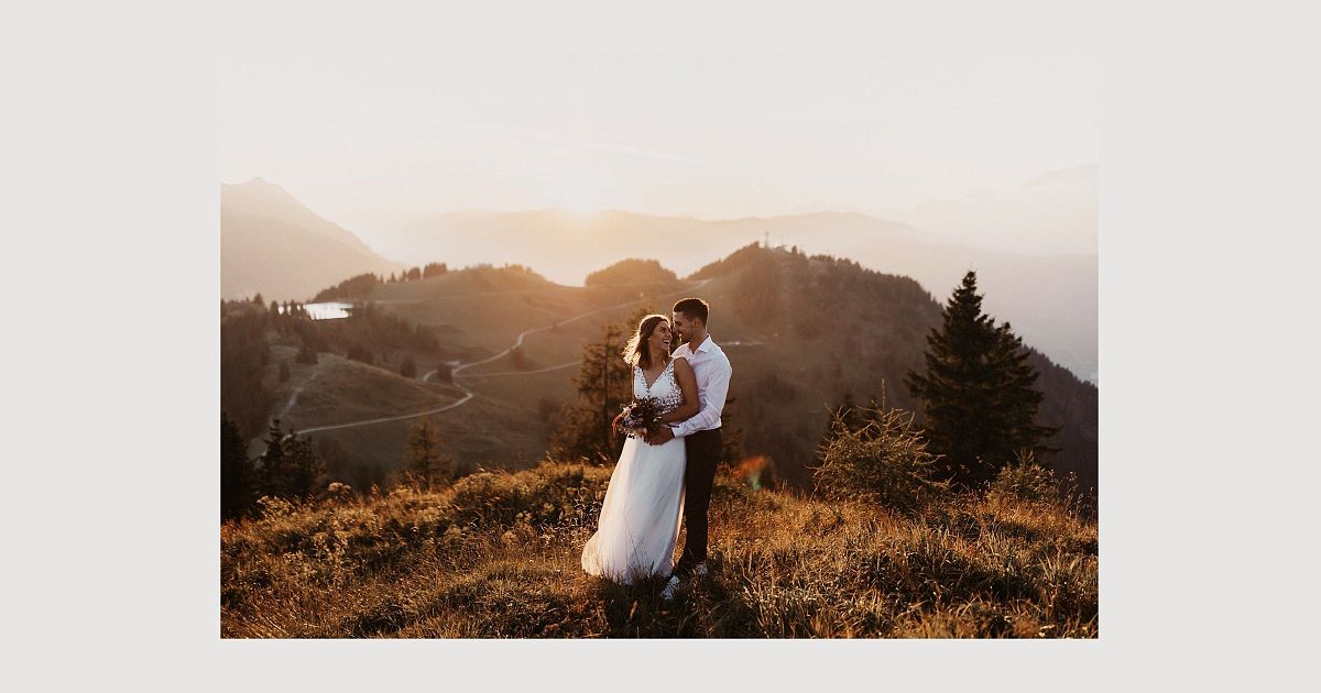
Panoramahochzeit in Salzburg
A tourist-board page on holding weddings at mountain viewpoints in the Salzburger Sportwelt around Flachau.
Badesee Flachauwinkl
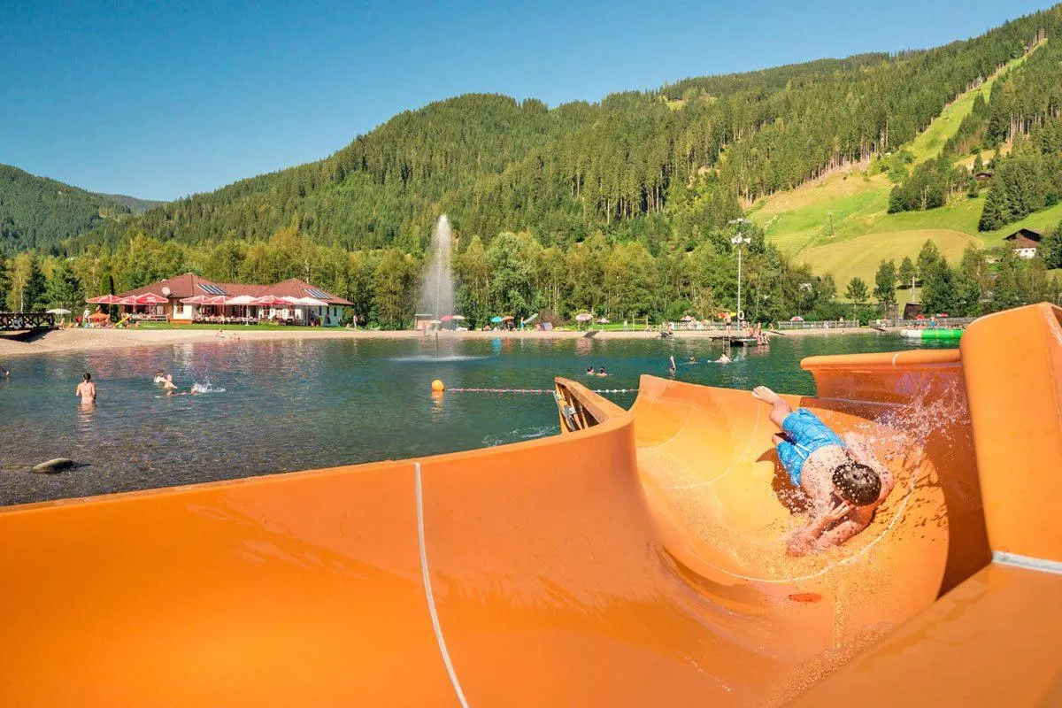
A small bathing lake at Flachauwinkl in the upper Flachau valley, with a playground and beach volleyball court beside the water.
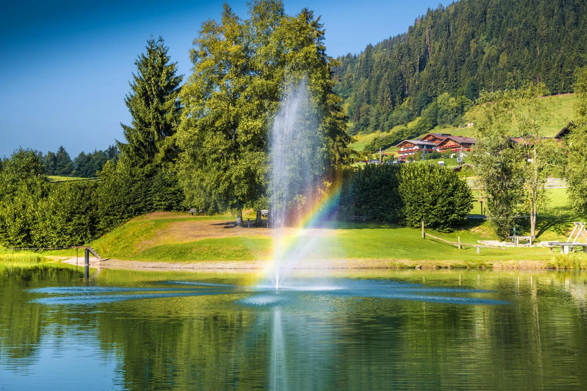
Badesee Reitdorf
A bathing lake with playground at Reitdorf near Flachau (906 m), a summer swimming spot in the Salzburg Pongau.
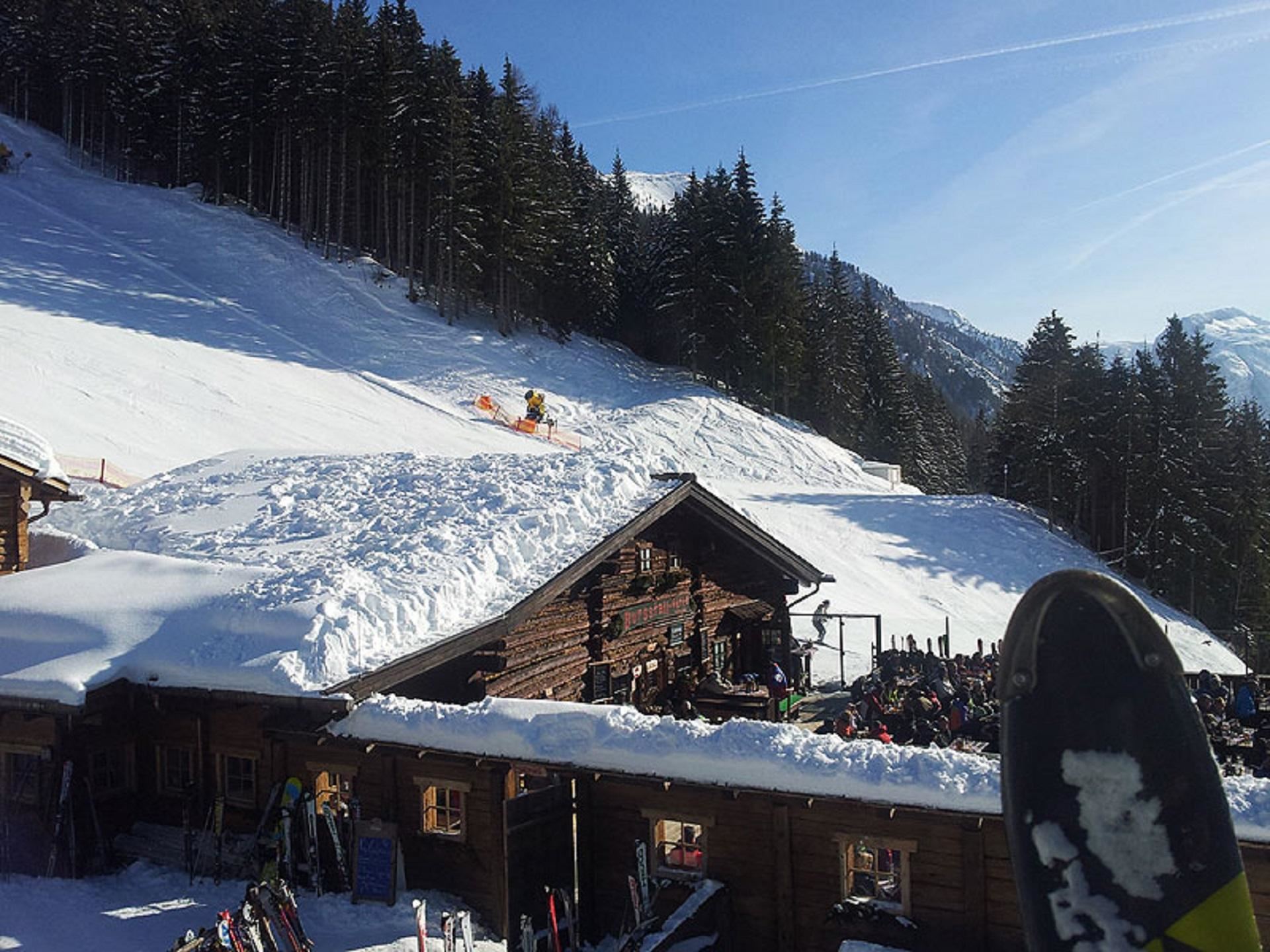
Burgstallhütte
A hut on the Burgstall between Flachau and Zauchensee, serving walkers in summer and skiers in winter.
Erlebnisbadesee Eben
A bathing lake at Eben im Pongau with beach volleyball court and playground, used for summer swimming between Flachau and Altenmarkt.
Gipfelstadl Wagrain
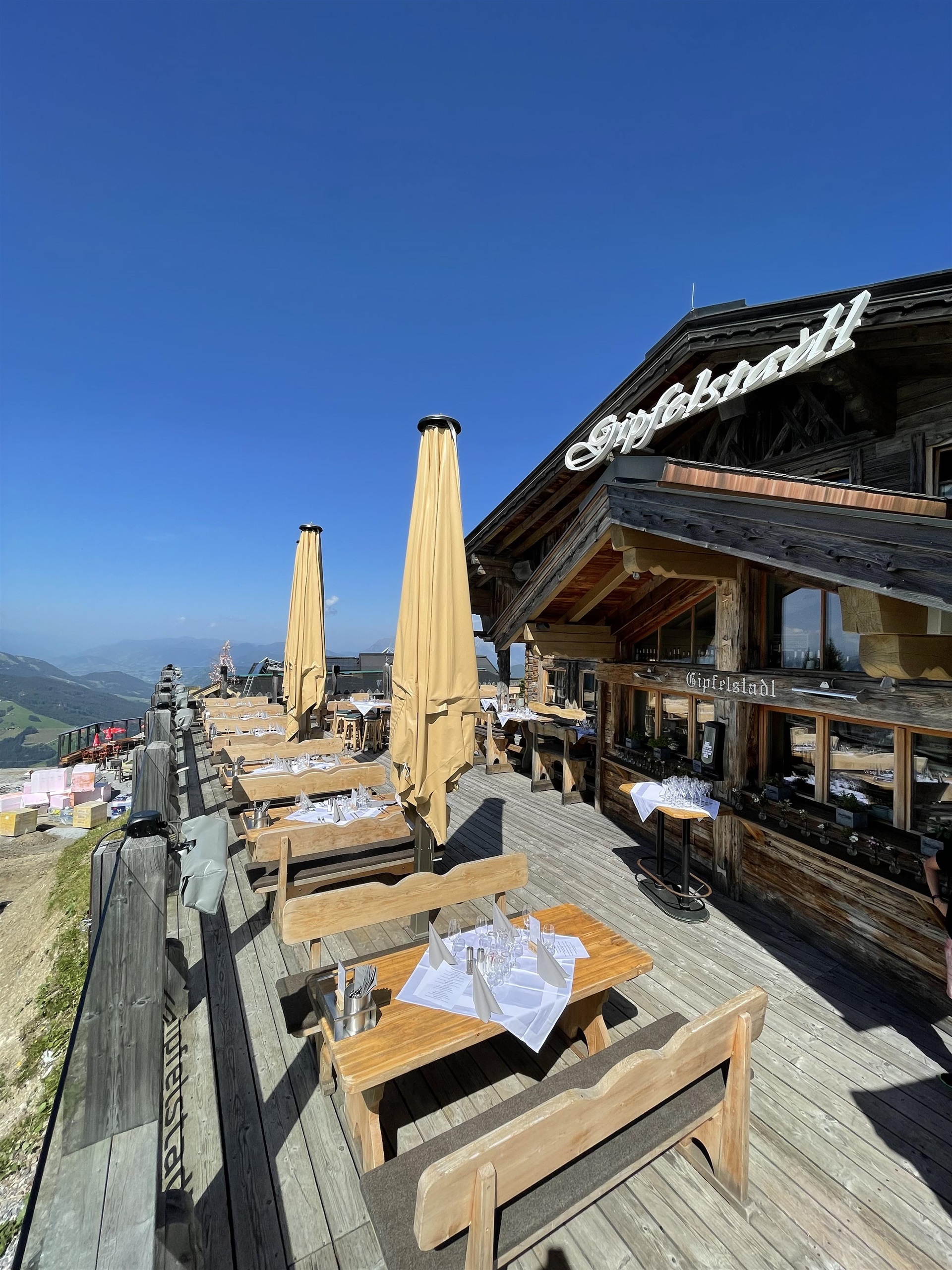
A summit ski hut on the Wagrain mountains, serving regional cooking to skiers in winter and walkers in summer.
Hofalm
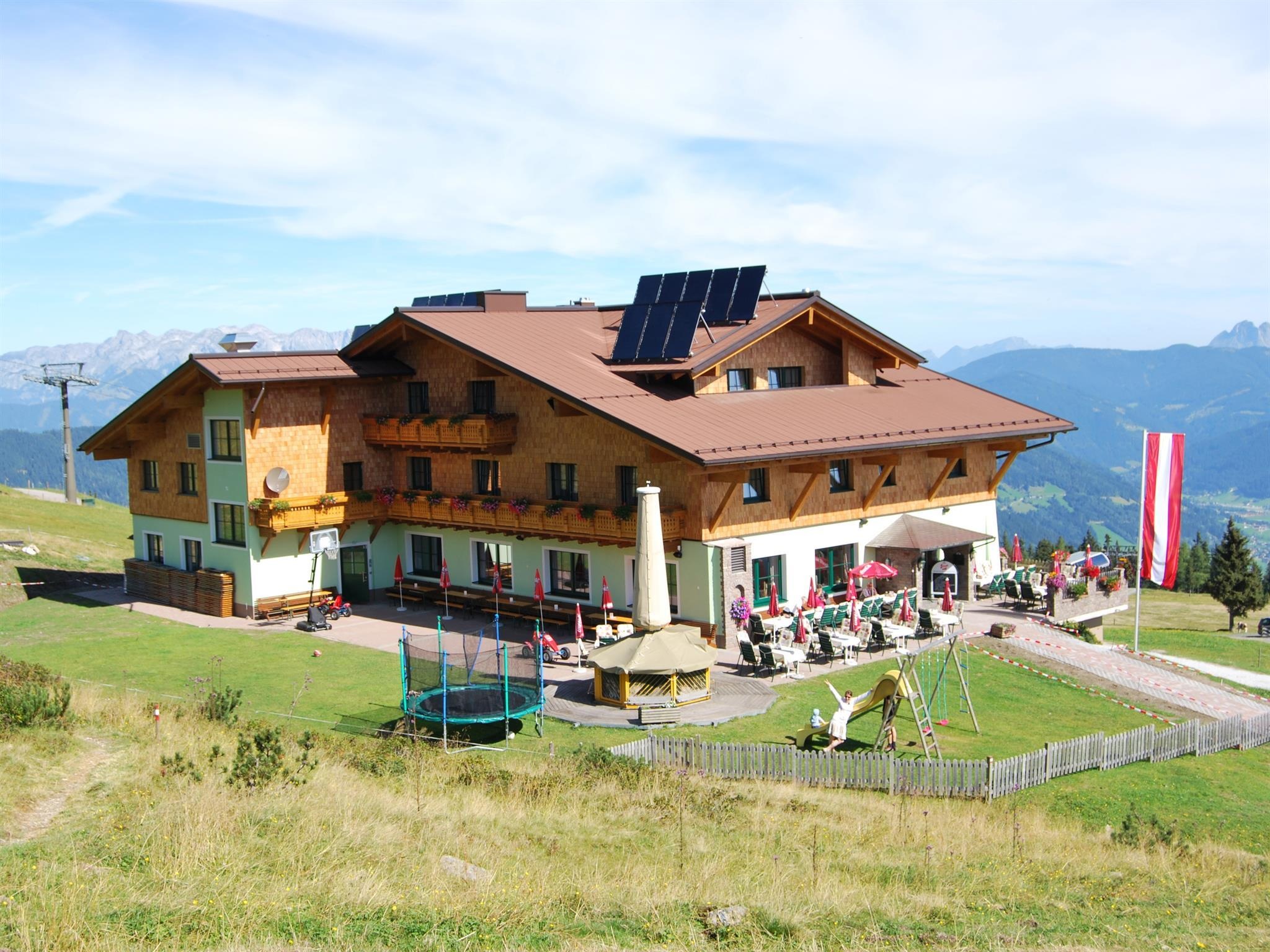
A self-service ski hut on the slopes above Flachau, one of the huts lining the pistes above the 906 m village.
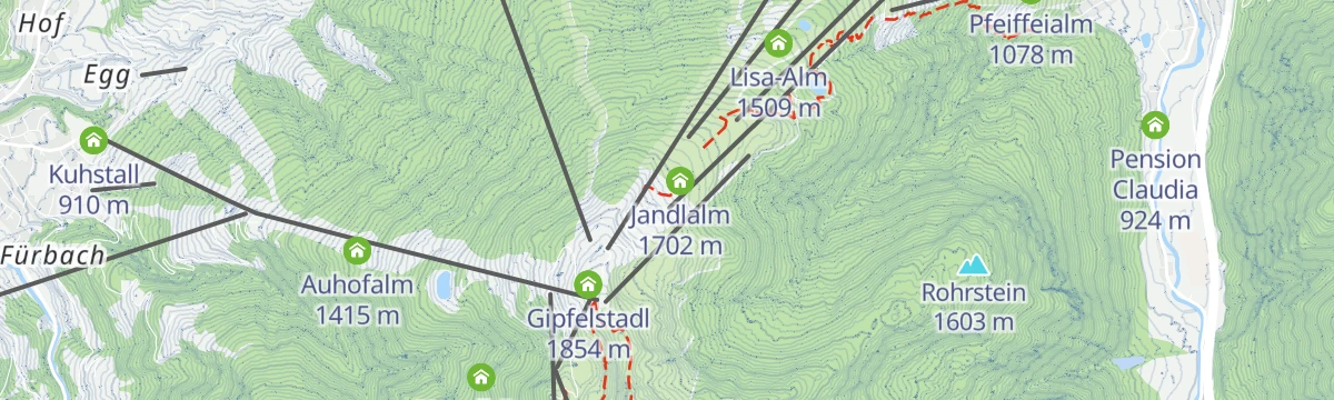
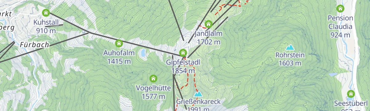
Jandlalm
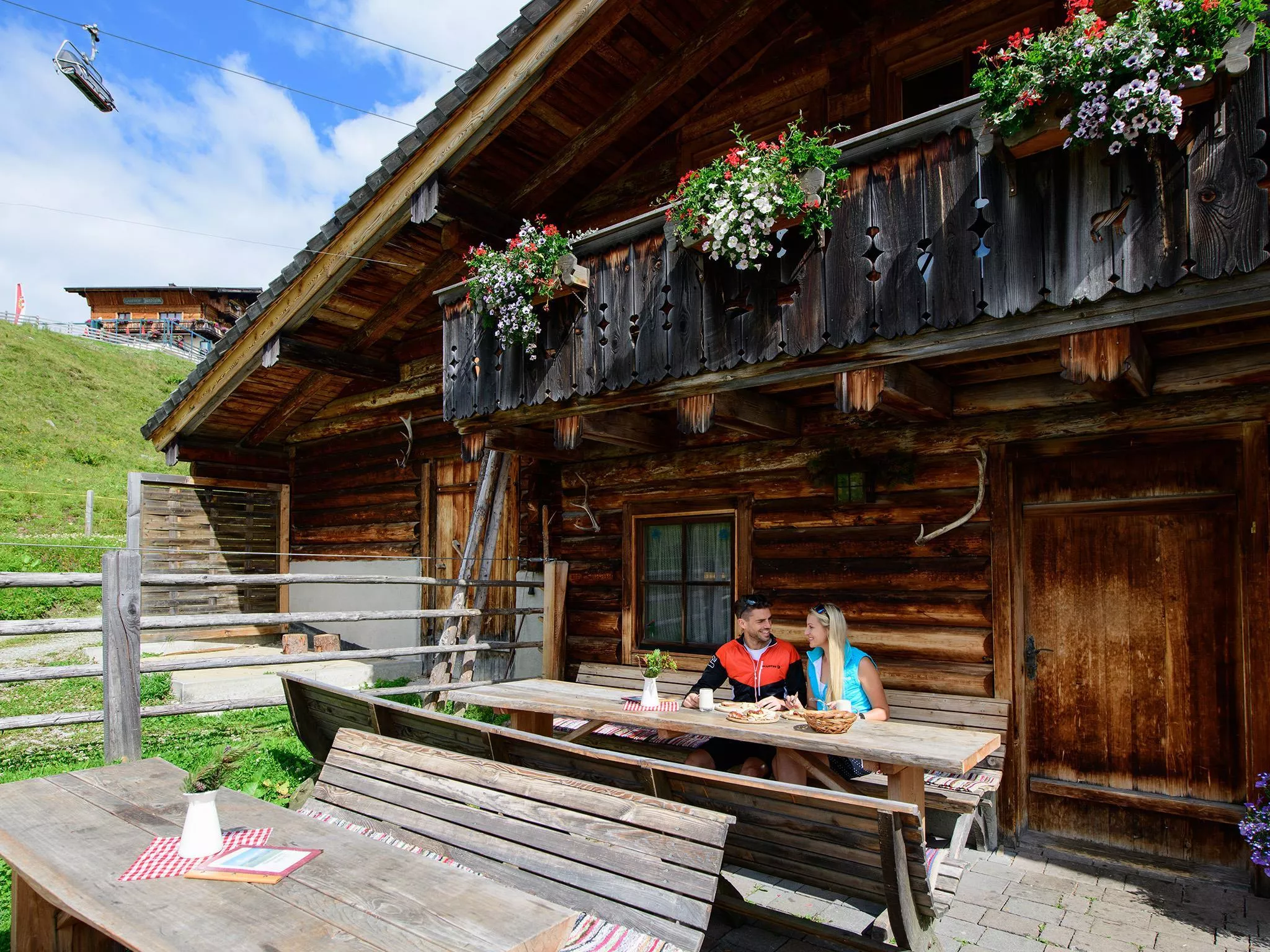
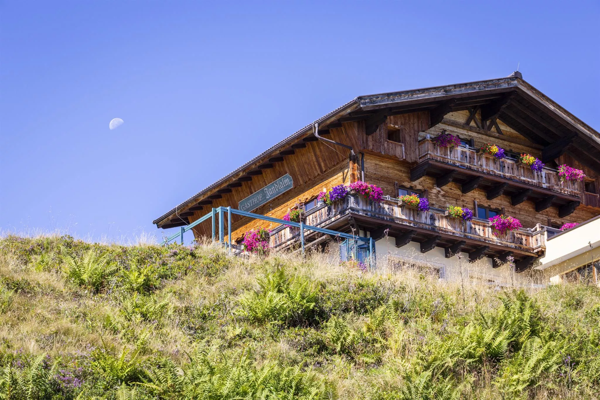
A ski hut and mountain restaurant on the slopes above Flachau, serving regional and international dishes beside the pistes.
Latschenhof
A self-service mountain restaurant on the Flachau ski slopes; the name refers to the dwarf mountain pines that grow around it.
Scharfetthütte / Hafeichtalm
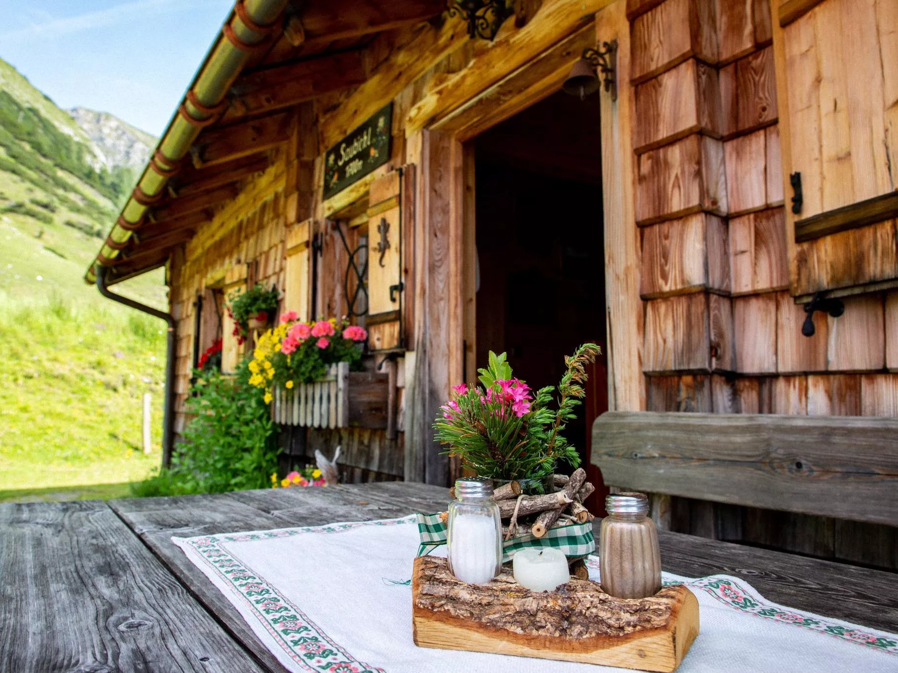
A pasture hut on the Hafeichtalm in the mountains southeast of Flachau, serving regional dishes in the grazing season.
Schlosshochzeit im Salzburger Land
A tourist-board page on castle and palace wedding venues in the Salzburger Sportwelt part of the Pongau.
Seestüberl, Beach Volleyball
A lakeside snack bar and beach volleyball court at the Flachauwinkl bathing lake in the upper Flachau valley.
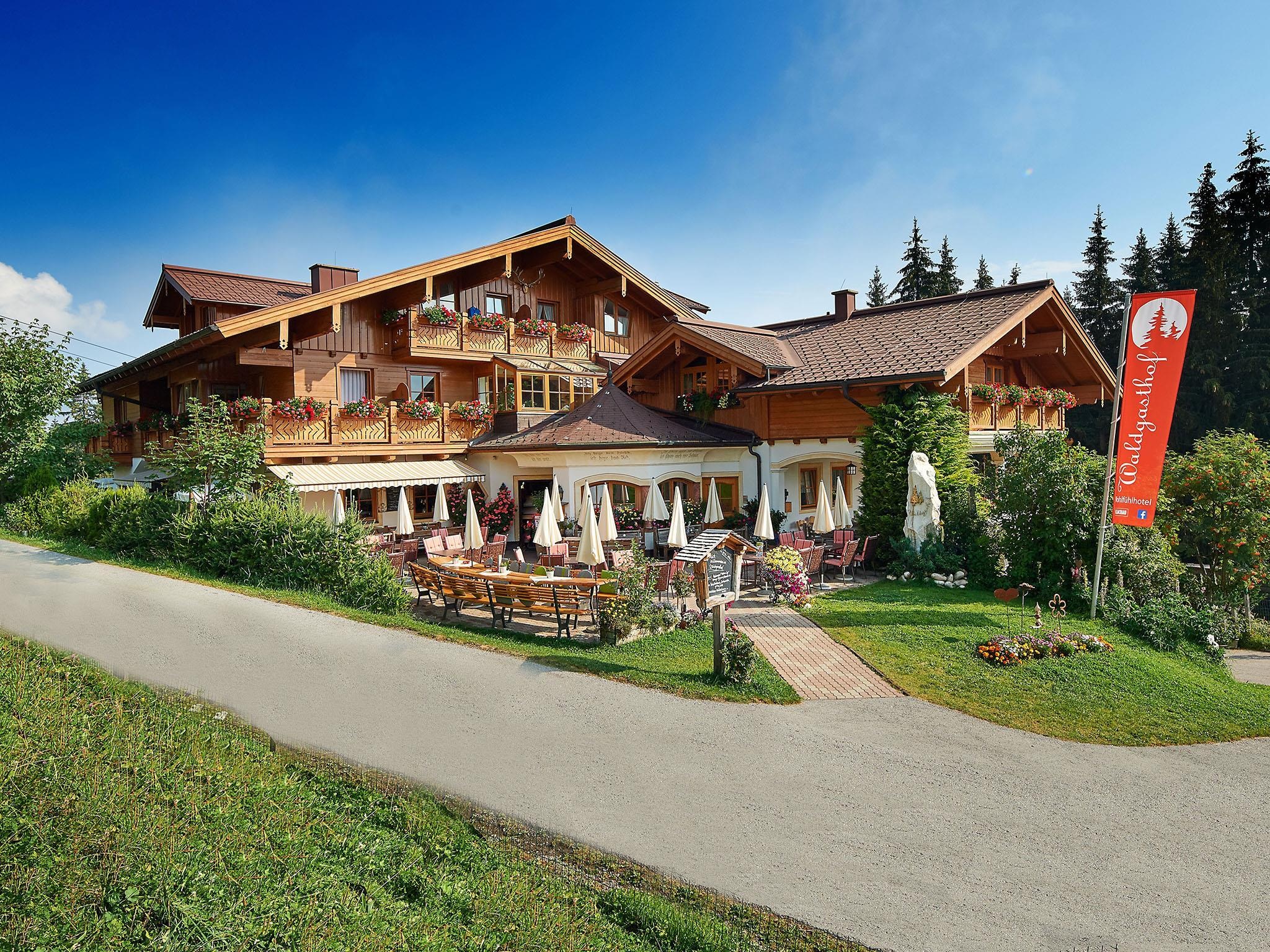
Waldgasthof
A forest inn on the ski slopes above Flachau, a Bauernherbst host serving regional dishes and catering mountain weddings.
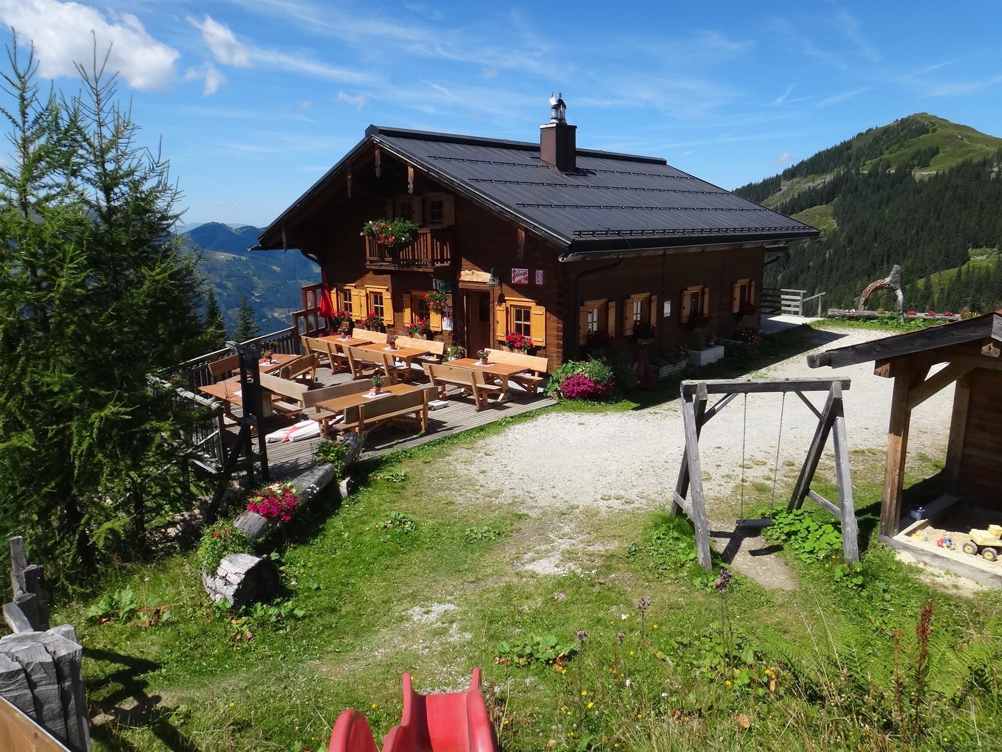
Weissenhofalm - Jausenstation
A summer pasture snack station above Kleinarl, a farm-run stop serving regional dishes on the walking routes of the Kleinarl valley.
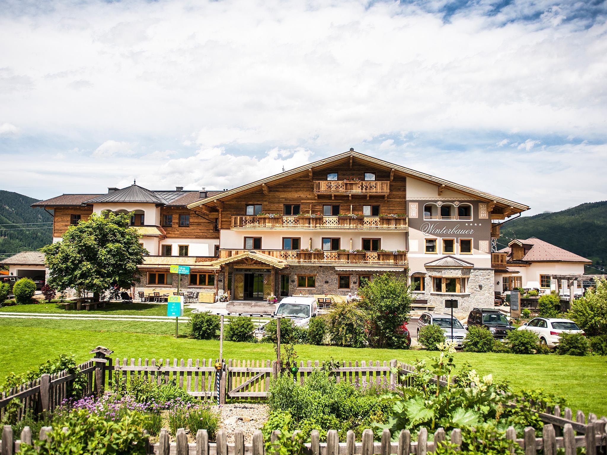
Wiaz´haus Winterbauer
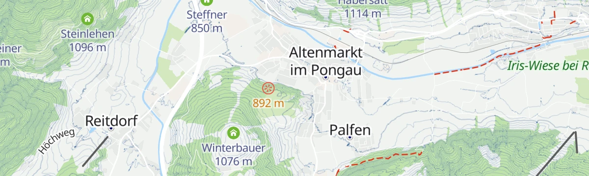
A farmhouse restaurant between Flachau and Altenmarkt with certified regional sourcing, serving Salzburg dishes alongside vegetarian options.
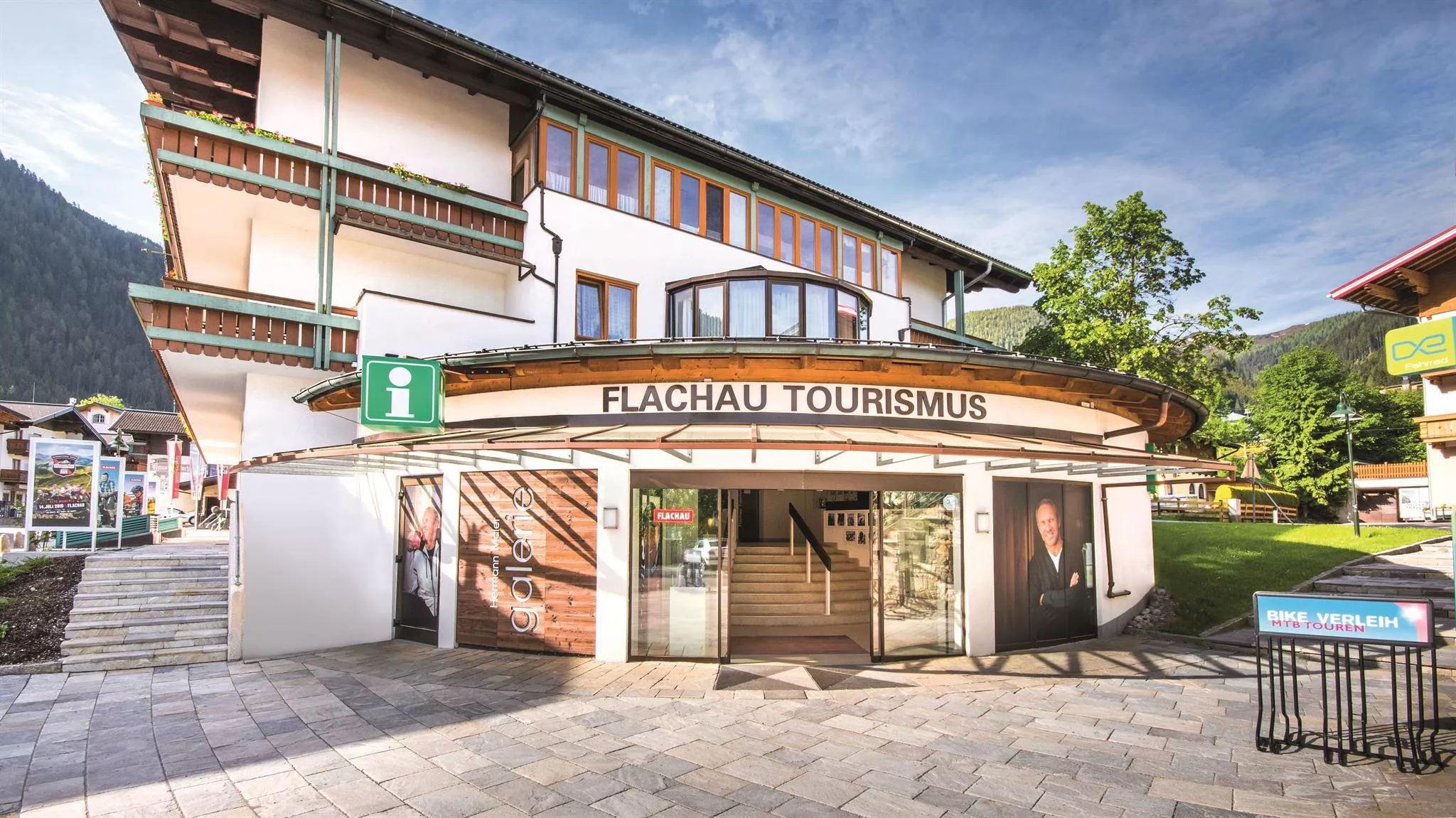
Hermann Maier Galerie
A small exhibition in Flachau devoted to Hermann Maier, the double Olympic ski champion who grew up in the village.
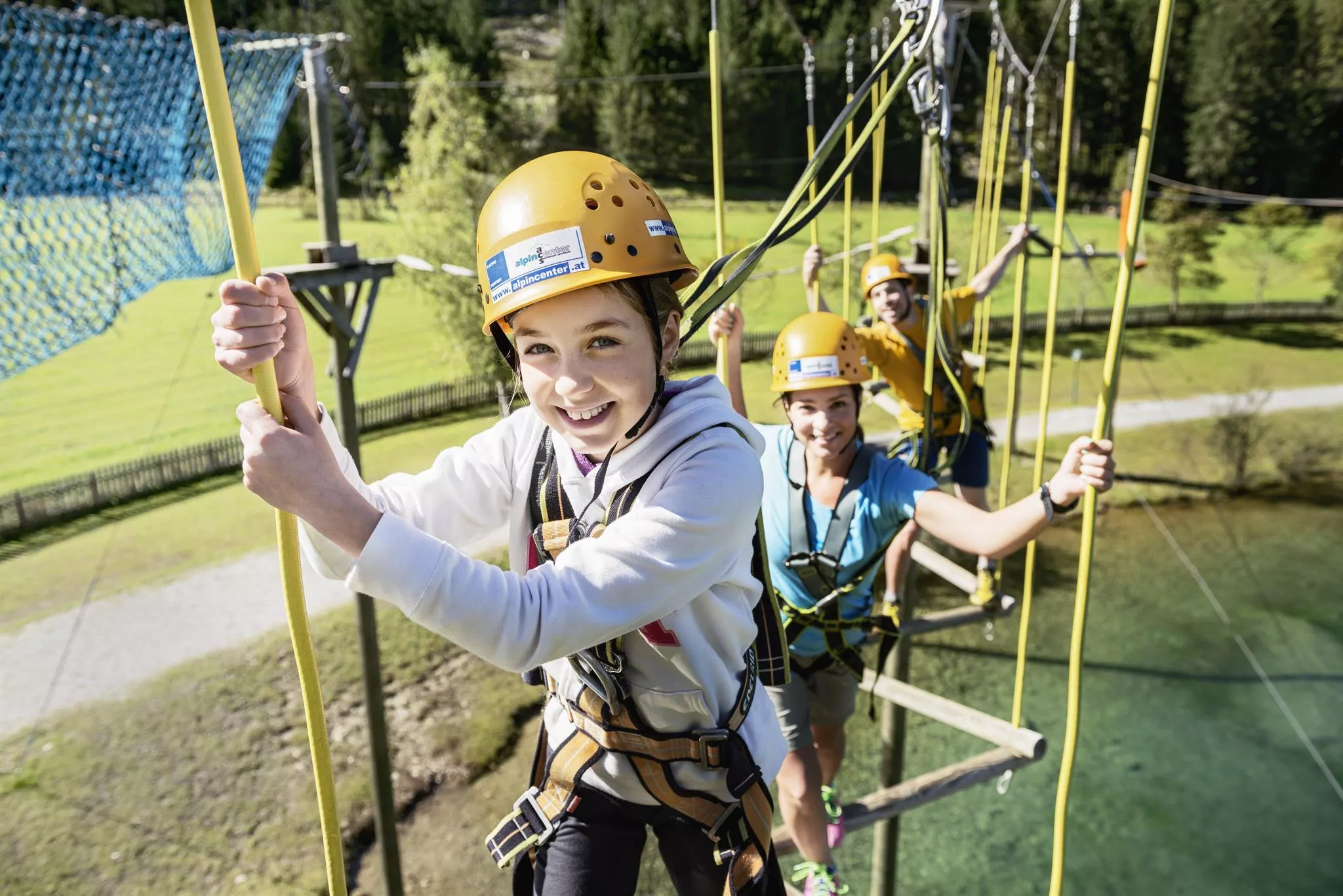
ACS Alpincenter Salzburger Sportwelt
A mountain sports school based in Flachau offering guided climbing, via ferrata, canyoning, kayaking and high-ropes sessions in the Salzburger Sportwelt.
Almlust Aktiv
An outdoor activity provider in Flachau running climbing, canyoning, rafting and paragliding programmes in the surrounding mountains.
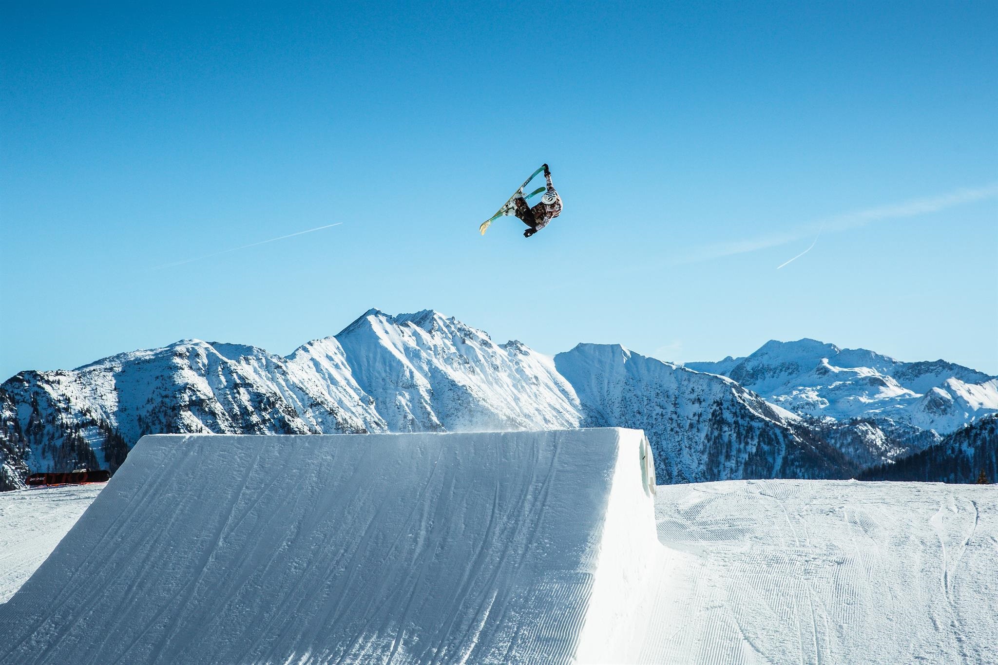
Absolut Park
A large snowboard and freestyle park at the Shuttleberg above Flachauwinkl-Kleinarl, with kicker lines, rails and boxes for all levels.
Highport Flachauwinkl
A lift base at Flachauwinkl with ski depot and rental, an access point to the slopes between Flachau and Kleinarl in the Salzburger Sportwelt.
Nothing of this kind in Flachau.
Routes
50 routes, an even mix of activities · see the rest on flachau.com ↗
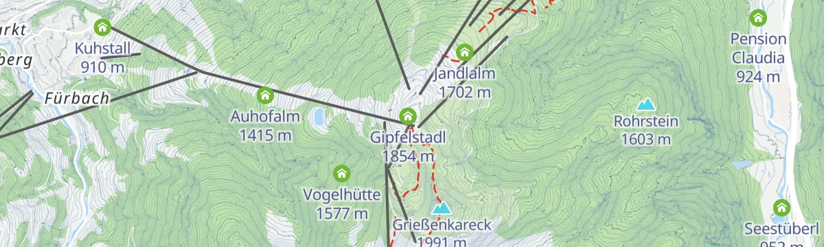
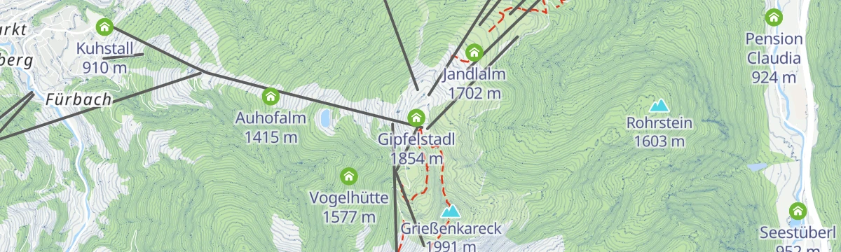
Höhenwanderung: Grießenkareck - Jandlalm
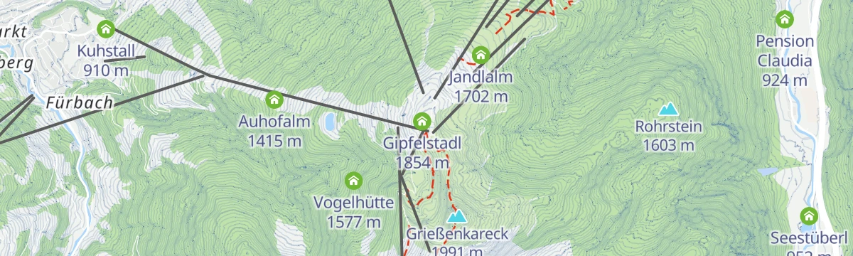
An easy high walk from the gondola station over the Grießenkareck to the Jandlalm and back, with the Koglalm also on the round.
- 5.2 km
- Distance
- 273 m
- Ascent
- 1 h 58 min
- Duration
- 59
- Check-ins
Salzburger Almenweg - Etappe 16: Weissenhofalm – Flachau
Stage 16 of the Salzburger Almenweg, crossing the Saukarkopf and the Grießenkareck down to Flachau, home village of the Olympic champion Hermann Maier.
- 13.1 km
- Distance
- 427 m
- Ascent
- 5 h 16 min
- Duration
- 112
- Check-ins
Flachau - Grießenkareck - Frauenalm - Flachauwinkl
A 22 km traverse from Flachau over the Grießenkareck and Saukarkopf, then down by the Frauenalm to Flachauwinkl, with 1,130 m of climbing.
- 21.9 km
- Distance
- 1 137 m
- Ascent
- 8 h 13 min
- Duration
- 108
- Check-ins
Aufstiegsroute Shuttleberg
A marked ski-touring line along the edge of the pistes in the Shuttleberg area at Flachauwinkl, climbing some 900 m to the Mooskopf.
- 12.3 km
- Distance
- 932 m
- Ascent
- 932 m
- Descent
- 4 h 13 min
- Duration
- 31
- Check-ins
(E-)Bike & Hike Regenerationsmomente zum Blauen See
Ride to the Steinkaralm, then walk on to the Blauer See in a rock amphitheatre below the Ennskraxn, one of ten resting places laid out on the route.
- 2.9 km
- Distance
- 219 m
- Ascent
- 32 min
- Duration
- 5
- Check-ins
 Steinkarhütten 1 695 m
- Steinkaralm 1 696 m
 Blauer See 1 950 m
Flachau - Marbachalmen - E-MTB Tour (12)
An e-mountain-bike route out of Flachauwinkl to the Vordere and Hintere Marbachalm, on forest roads above the valley floor.
- 13.3 km
- Distance
- 357 m
- Ascent
- 1 h 24 min
- Duration
- 16
- Check-ins
Grießenkar Runde (SW33)
A demanding forest-road circuit above Flachau, passing the Jandlalm and Hofalm and topping out near the Gipfelstadl at over 1,800 m.
- 26.1 km
- Distance
- 985 m
- Ascent
- 3 h 14 min
- Duration
- 112
- Check-ins
Ennsradweg - 1. Tagesetappe
The opening stage of the Enns cycle route, an almost flat run over the Mandlingpass and on down the valley past the Winklersee.
- 38.2 km
- Distance
- 96 m
- Ascent
- 3 h 29 min
- Duration
- 15
- Check-ins
Starjet 2 Wanderung
A level 3 km walk on the Grießenkar plateau between the Starjet lift stations, passing the Jandlalm and the Griessenkarhaus.
- 2.9 km
- Distance
- 0 m
- Ascent
- 1 h 1 min
- Duration
- 49
- Check-ins
Grießenkareck Höhenwanderung (41 & 45)
A high round over three tops — the Grießenkareck, the Saukarkopf and the Saukarfunktel — dropping past the Frauenalm and Hubertusalm on the return.
- 10.7 km
- Distance
- 566 m
- Ascent
- 4 h 5 min
- Duration
- 66
- Check-ins
Flachau - Grießenkareck
A 1,100 m climb from the village of Flachau to its home summit, the Grießenkareck; the Starjet chairlifts offer a shortcut into the same walking area.
- 10.1 km
- Distance
- 1 103 m
- Ascent
- 5 h 9 min
- Duration
- 80
- Check-ins
Skitour Liebeseck
A long ski tour past the two Marbach alms to the 2,303 m Liebeseck, with almost 1,200 m of climbing.
- 13.8 km
- Distance
- 1 200 m
- Ascent
- 1 197 m
- Descent
- 4 h 55 min
- Duration
- 8
- Check-ins
Schauphof - E-Trekkingbike
A gentle route on the valley tracks around Flachauwinkl, passing the Winklersee and the huts near the Ofentürl.
- 7.6 km
- Distance
- 133 m
- Ascent
- 46 min
- Duration
- 12
- Check-ins
Grießenkar Runde - E-MTB
An e-mountain-bike loop from Flachau up to the Griessenkarhaus, returning past the Lisa-Alm and the Munzenalm lower down.
- 23.5 km
- Distance
- 880 m
- Ascent
- 2 h 55 min
- Duration
- 89
- Check-ins
Regenerieren am Rupertisee – mit Bergbahnenaufstieg
A flat 5 km walk on the tops after riding the Flying Mozart gondola, laid out around slowing down rather than gaining height.
- 5.0 km
- Distance
- 0 m
- Ascent
- 1 h 45 min
- Duration
- 44
- Check-ins
Höhenwanderung: Grießenkareck - Frauenalm - Jandlalm
From the gondola top station over the Grießenkareck and Saukarkopf to the Frauenalm and Jandlalm, returning to the same station.
- 10.4 km
- Distance
- 507 m
- Ascent
- 3 h 44 min
- Duration
- 66
- Check-ins
Höhentour Zauchensee - Hinterkogel - Lackenkogel - Flachau
A 19 km high traverse from Zauchensee to Flachau over the Hinterkogel, Rosskopf and Lackenkogel, with alm huts spaced along the ridge.
- 19.2 km
- Distance
- 1 066 m
- Ascent
- 8 h 22 min
- Duration
- 73
- Check-ins
Skitour Taferlnock
A demanding ski tour to the 2,375 m Taferlnock at the eastern end of the Hohe Tauern, calling for fitness and sure footing on alpine ground.
- 11.9 km
- Distance
- 1 185 m
- Ascent
- 1 179 m
- Descent
- 4 h 33 min
- Duration
- 7
- Check-ins
Murleiten - Sattelbauer (SW31b)
A mid-grade forest-road climb above Flachau that ends at the Sattelbauer at 1,284 m, with the same track used for the descent.
- 9.9 km
- Distance
- 422 m
- Ascent
- 1 h 16 min
- Duration
- 9
- Check-ins
Wagrain-Kleinarl zum Rossbrand
A long ride over the Wagrainer Höhe to Radstadt and up forest roads to the Rossbrand, passing the Karhütte and the Radstädterhütte.
- 55.3 km
- Distance
- 1 196 m
- Ascent
- 6 h 2 min
- Duration
- 54
- Check-ins
Bergerlebnis Grießenkareck
A short family circuit on the Grießenkar that still ends on a summit, under 5 km with about 300 m of climbing.
- 4.9 km
- Distance
- 289 m
- Ascent
- 2 h 1 min
- Duration
- 43
- Check-ins
Panorama Wanderung Grießenkareck und Saukarfunktel
A varied round over the Grießenkareck and the Saukarfunktel, the latter one of the peaks in the Salzburger Gipfelspiel, with the Flachautal below.
- 10.9 km
- Distance
- 516 m
- Ascent
- 3 h 51 min
- Duration
- 66
- Check-ins
Wanderbus-Tipp: Zauchensee - Roßkopf - Lackenkogel - Altenmarkt
A one-way 19 km ridge day from Zauchensee over the Roßkopf and the Lackenkogel down to Altenmarkt, easiest to organise with the hiking bus to the start.
- 18.7 km
- Distance
- 860 m
- Ascent
- 7 h 25 min
- Duration
- 53
- Check-ins
Rote 8er Skitour | Wagrain - Snow Space Salzburg
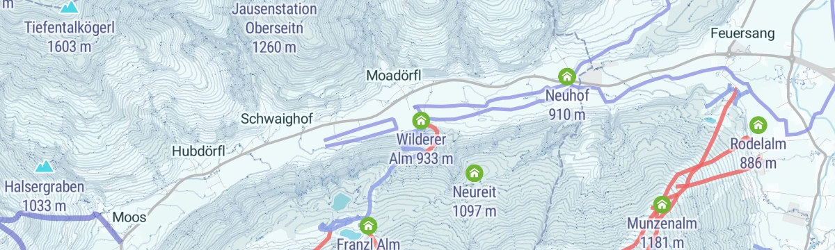
Piste ski tour of 913 m beside the Rote 8er gondola, passing the Franzl Alm; uphill travel is allowed only on the marked routes in the ski area.
- 4.1 km
- Distance
- 902 m
- Ascent
- 11 m
- Descent
- 2 h 26 min
- Duration
- 6
- Check-ins
Sattelbauer Flachau - E-MTB Tour (11)
A very short but steep e-MTB climb from Flachau, nearly 400 m of ascent in under 4 km to reach the Sattelbauer.
- 3.9 km
- Distance
- 386 m
- Ascent
- 38 min
- Duration
- 9
- Check-ins
Radstadt-Rossbrand-Runde (SW 13)
A long day on forest roads from Radstadt over the Rossbrand, with the Radstädterhütte and Karhütte near the top and the Resialm on the descent.
- 54.1 km
- Distance
- 1 089 m
- Ascent
- 5 h 50 min
- Duration
- 52
- Check-ins
 Rossbrand 1 770 m
- Radstädterhütte 1 760 m
- Karhütte 1 718 m
- Steinalm 1 318 m
- Radstadt Tourismus 857 m
- Stadtteich Radstadt 855 m
- +1
Flying Mozart 2: Wanderung über Rupertisee
A simple family walk from the top station of the Flying Mozart gondola down to the middle station, passing the Rupertisee.
- 4.0 km
- Distance
- 0 m
- Ascent
- 1 h 38 min
- Duration
- 35
- Check-ins
- Auhofalm 1 415 m
- Gipfelstadl 1 854 m
- Almstadl 1 657 m
- Hotel Berghof 1 244 m
- Berghof Alm 1 249 m
- Rupertisee 1 588 m
Höhenwanderung: Grießenkareck - Weissenhofalm - Steinkaralm - Kleinarl
A certified high route from the Grießenkareck over the Mooskopf, then down by the Weissenhofalm and Steinkaralm into Kleinarl.
- 12.8 km
- Distance
- 368 m
- Ascent
- 4 h 54 min
- Duration
- 65
- Check-ins
Höhenwanderung Lackenkogel
A long high route through the Zauchtal, 18 km with 1,500 m of ascent over the Hinterkogel to the Lackenkogel, passing the Roßkopfhütte and Kuchlberghütte.
- 18.4 km
- Distance
- 1 442 m
- Ascent
- 8 h 23 min
- Duration
- 51
- Check-ins
Skitour Rote 8er Wagrain
913 m of piste touring under the Rote 8er gondola, the most used uphill line in Wagrain, with the Wilderer Alm and Franzl Alm beside the route.
- 4.0 km
- Distance
- 892 m
- Ascent
- 0 m
- Descent
- 2 h 24 min
- Duration
- 6
- Check-ins
Sattelbauer-Runde Flachau (SW 31)
A short round out of Flachau climbing to the Sattelbauer at 1,284 m and back down the same side.
- 12.8 km
- Distance
- 436 m
- Ascent
- 1 h 33 min
- Duration
- 9
- Check-ins
Flachau - Hofalmen mit Almsee Filzmoos - E-MTB Tour (21)
An e-bike route from Flachau over to the Hofalmen and the Almsee at 1,302 m, past the Maria am Steineggl chapel.
- 26.9 km
- Distance
- 539 m
- Ascent
- 2 h 46 min
- Duration
- 44
- Check-ins
Regenerieren am Saukarfunktel – mit Bergbahnenaufstieg
A short recovery walk along the ridge to the Saukarfunktel once the gondola has done the climbing, about 4 km at an unhurried pace.
- 4.3 km
- Distance
- 243 m
- Ascent
- 1 h 43 min
- Duration
- 35
- Check-ins
Höhenwanderung:Grießenkareck 1991m-Schüttalm-Kleinarl (714,85,77)
After the gondola, a high walk over the 1,991 m Grießenkareck and the Saukarkopf, then down by the Schüttalm into Kleinarl.
- 7.9 km
- Distance
- 165 m
- Ascent
- 3 h 20 min
- Duration
- 47
- Check-ins
Kleinarl - Tappenkarsee - Gasthofplateau - Marbach - Flachauwinkl
Long crossing from Kleinarl past the Tappenkarsee and the Franz-Fischer-Hütte, over the Windischscharte and down by the Marbachalm to Flachauwinkl.
- 23.7 km
- Distance
- 1 528 m
- Ascent
- 10 h 22 min
- Duration
- 51
- Check-ins
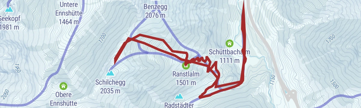
Skitour Schilcheck
A varied ski tour in the middle of the Radstädter Tauern to the 2,040 m Schilcheck, passing the Ranstlalm and the Vordere Marbachalm.
- 10.1 km
- Distance
- 932 m
- Ascent
- 932 m
- Descent
- 3 h 41 min
- Duration
- 6
- Check-ins
Flachau - Bauernhofmuseum Wagrain - E-Trekkingbike (8)
An e-trekking route from Flachau over the Wagrainer Höhe to the farm museum at Wagrain.
- 13.2 km
- Distance
- 386 m
- Ascent
- 1 h 27 min
- Duration
- 5
- Check-ins
Hofalmen-Runde (SW 07)
A long circuit linking the Unterhofalm and Oberhofalm above Filzmoos, with the Almsee near the high point.
- 53.2 km
- Distance
- 638 m
- Ascent
- 5 h 19 min
- Duration
- 44
- Check-ins
Grießenkareck (1991m) - von der Bergstation Flying Mozart
A short walk from the top station of the Flying Mozart gondola in Flachau up to the summit ridge, passing the Gipfelstadl.
- 1.9 km
- Distance
- 135 m
- Ascent
- 53 min
- Duration
- 25
- Check-ins
Bettlersteig - Bergstation Flying Mozart - Wagrainer Haus- Grießenkareck
From the Flying Mozart top station the Bettlersteig leads out to the Ahornkarkopf, with the return over the Grießenkareck past the Wagrainer Haus.
- 6.4 km
- Distance
- 263 m
- Ascent
- 2 h 9 min
- Duration
- 46
- Check-ins
Arnoweg/Etappe 49 Zauchensee-Altenmarkt
Stage 49 of the Arnoweg, a 22 km high-level day from Zauchensee over the Rosskopf and Hinterkogel down to Altenmarkt, past several alm huts.
- 22.4 km
- Distance
- 778 m
- Ascent
- 7 h 39 min
- Duration
- 46
- Check-ins
Familien- & Genussradtour durch Flachau
A nearly level family loop through Flachau, passing the Reitecksee bathing lake on the valley floor.
- 15.0 km
- Distance
- 147 m
- Ascent
- 1 h 28 min
- Duration
- 2
- Check-ins
- Reitecksee Badesee 885 m
Zauchensee-Untertauern-Runde SW25
A long, hard circuit from Flachau by the Zauchensee to Untertauern, taking in the Vordergnadenalm and the Arena Alm.
- 50.6 km
- Distance
- 1 749 m
- Ascent
- 6 h 8 min
- Duration
- 44
- Check-ins
- Felserhütte 1 350 m
- Sattelbauer 1 284 m
- Vordergnadenalm 1 281 m
- Arena Alm 1 367 m
- Fischerhütte 988 m
- Zauchensee 1 340 m
- +17
Flachau - Wiesenweg - Schloss Höch - Reiteck - Badesee Reitdorf
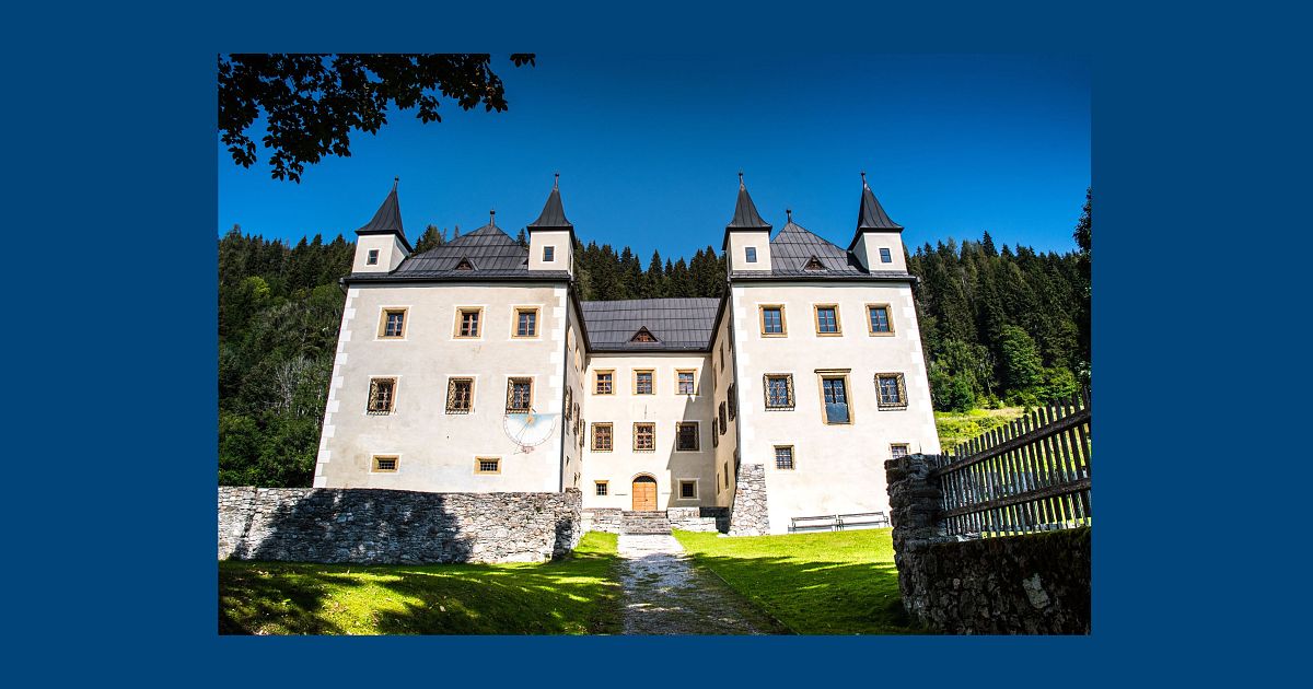
An easy, almost level walk along the meadows at Flachau, passing the castle at Höch and ending at the bathing lake in Reitdorf.
- 6.5 km
- Distance
- 100 m
- Ascent
- 1 h 47 min
- Duration
- 12
- Check-ins
- Reitecksee Badesee 885 m
- Schluckspecht 885 m
- Specherstub'n 885 m
- Schonzeit 886 m
- Dampfkessel 886 m
- Hofstadl 922 m
- +1
Wanderbus-Tipp: Flachauwinkl-Zauchensee
A crossing over alm pastures below the Roßkopf between Zauchensee and Flachauwinkl, with the Hochkönig and Dachstein in view and a hiking bus for the return.
- 12.1 km
- Distance
- 886 m
- Ascent
- 5 h 10 min
- Duration
- 35
- Check-ins
Flachau - Lackenkogel (73)
Route 73 climbs 1,140 m from Flachau to the Lackenkogel, taking in the broad pastures of the Lackenalmen on the way up.
- 15.0 km
- Distance
- 1 165 m
- Ascent
- 7 h 33 min
- Duration
- 33
- Check-ins
Schloss Höch - E-Trekkingbike
A short, flat e-trekking run from Flachau out to Schloss Höch, passing the Reitecksee on the way.
- 11.4 km
- Distance
- 116 m
- Ascent
- 1 h 7 min
- Duration
- 2
- Check-ins
- Reitecksee Badesee 885 m
Frauenalm Runde (SW32) mit Variante Weissenhofalm
The longer version of the Frauenalm round, adding the Weissenhofalm to the Schüttalm and Hubertusalm above 1,700 m.
- 37.5 km
- Distance
- 1 149 m
- Ascent
- 4 h 25 min
- Duration
- 34
- Check-ins
Flachauwinkl - Marbachtal (730)
An easy walk up a side valley from Flachau, gaining little height on the way to the Vordere and Hintere Marbachalm huts.
- 6.6 km
- Distance
- 158 m
- Ascent
- 1 h 56 min
- Duration
- 4
- Check-ins
Jandlalm von der Edelweiss Alm aus
Short climb from the Edelweißalm to the Jandlalm, passing the Hofalm, with 522 m of ascent over 7 km.
- 7.2 km
- Distance
- 520 m
- Ascent
- 3 h 25 min
- Duration
- 26
- Check-ins
No routes of this kind in Flachau yet.
The region's own picks
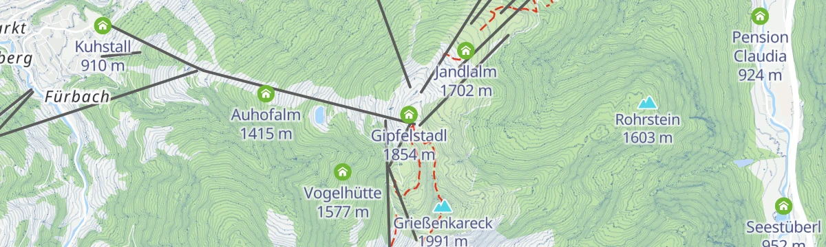
Featured route
Höhenwanderung: Grießenkareck - Jandlalm
An easy high walk from the gondola station over the Grießenkareck to the Jandlalm and back, with the Koglalm also on the round.
Planning a trip to Flachau?
Everything else Salzburg (state) has, in one place


Take Flachau with you into the mountains
Every route on this page with 3D terrain, GPX navigation and offline maps — including the valleys with no signal.
Data sources
- Official website: flachau.com ↗
- Routes and highlights: Flachau Tourismus, Wagrain-Kleinarl Tourismus, Altenmarkt-Zauchensee Tourismus, Salzburger Sportwelt, Schladming-Dachstein Tourismus
- Published as open data by the tourist boards named above.
- Region summary generated from the board's own material.
