
 Historic site
 Viewpoint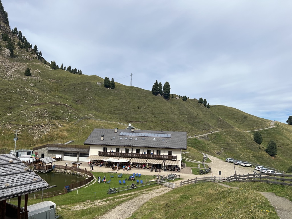




Curated by Seis am Schlern
Fiè allo Sciliar/Völs am Schlern
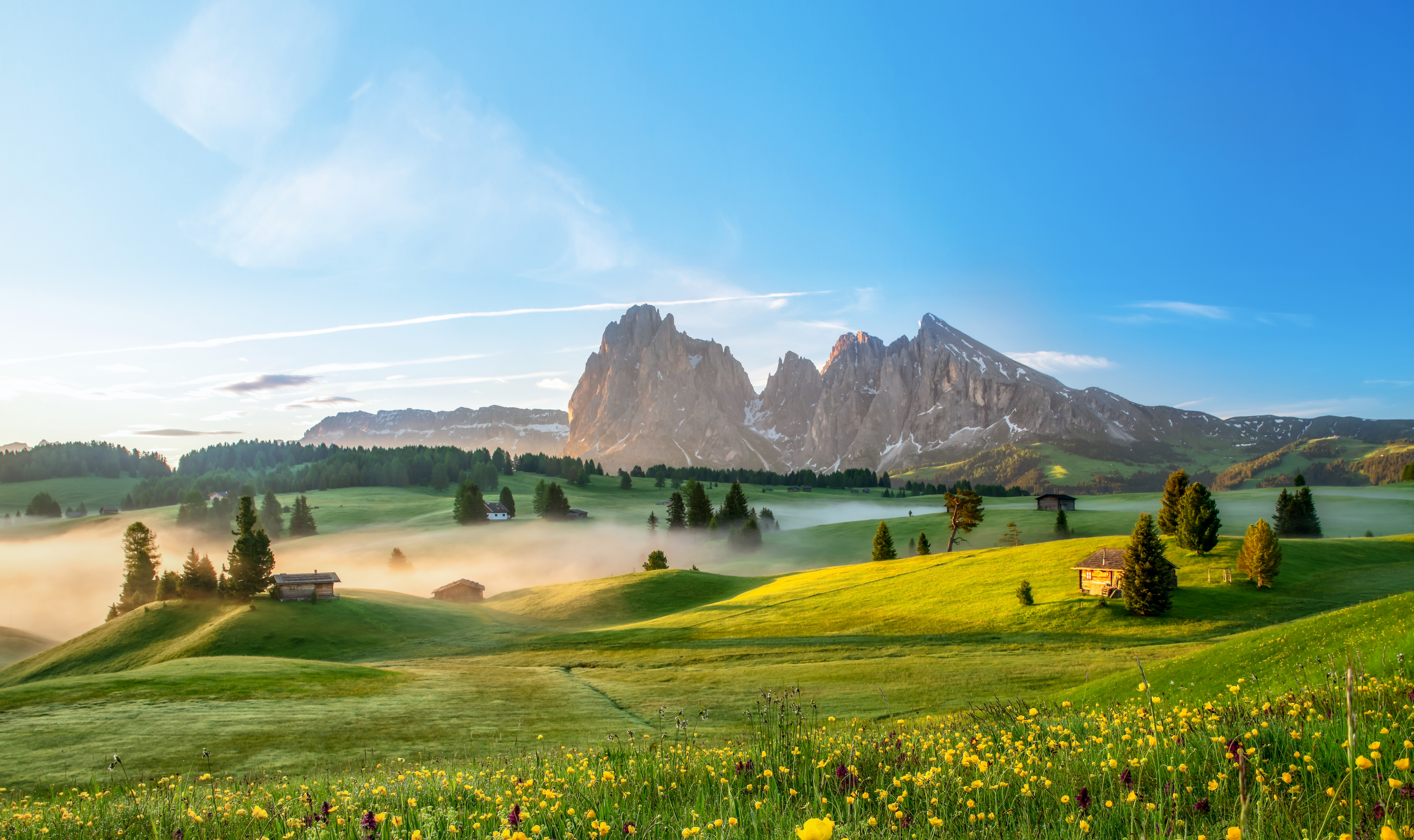
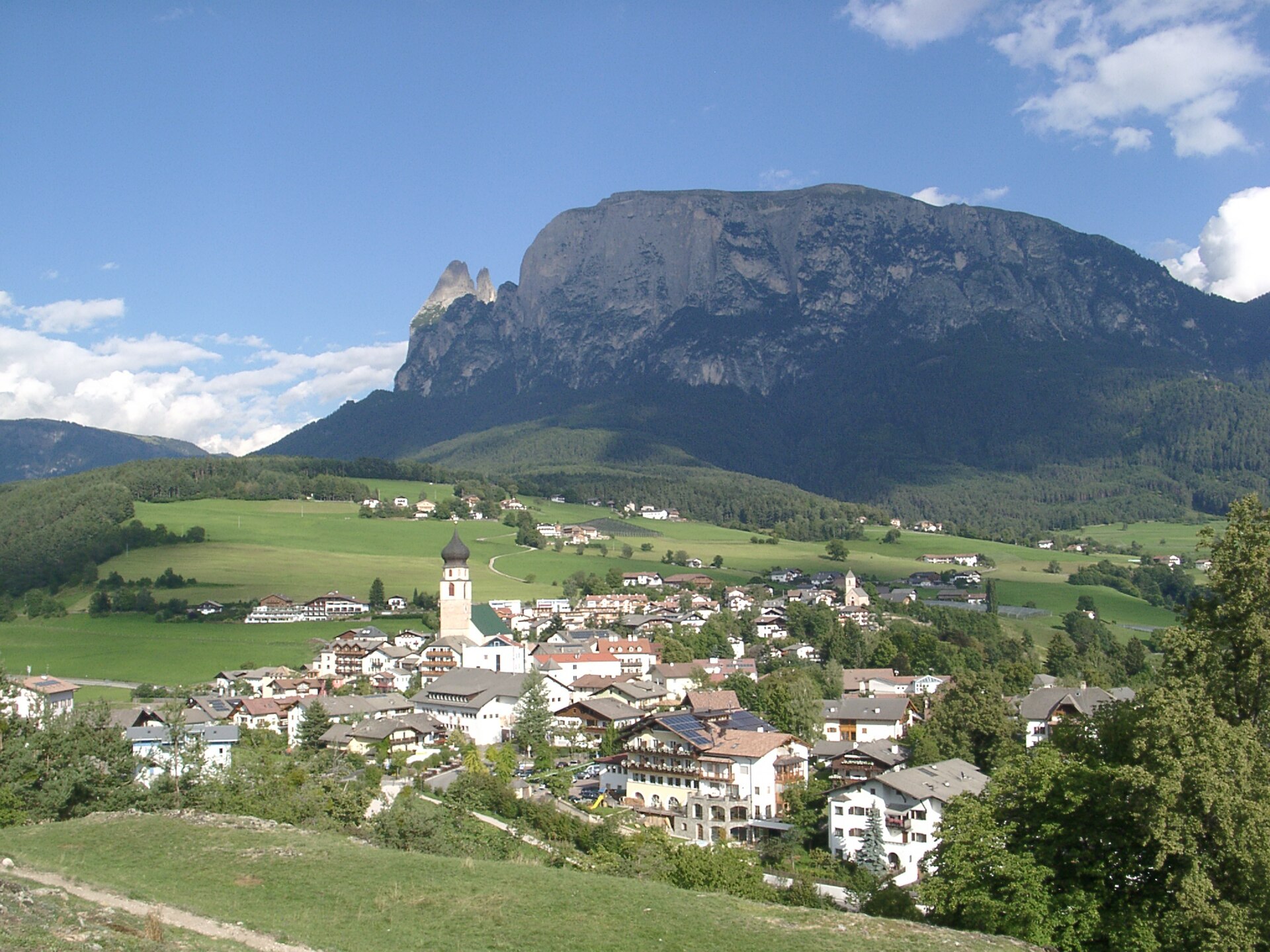
Terraced farmland and bathing ponds on the sunny shelf below the Sciliar, between the Isarco valley floor and the Alpe di Siusi.
Photo: Klaus Graf · CC BY-SA 3.0 licence
- 1Highlights
- 19Routes
- Featured summit · Petz - Monte Pez
Highlights
14 from neighbouring places
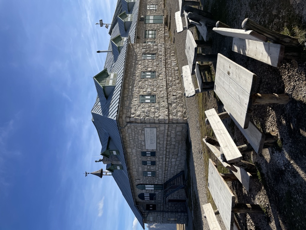
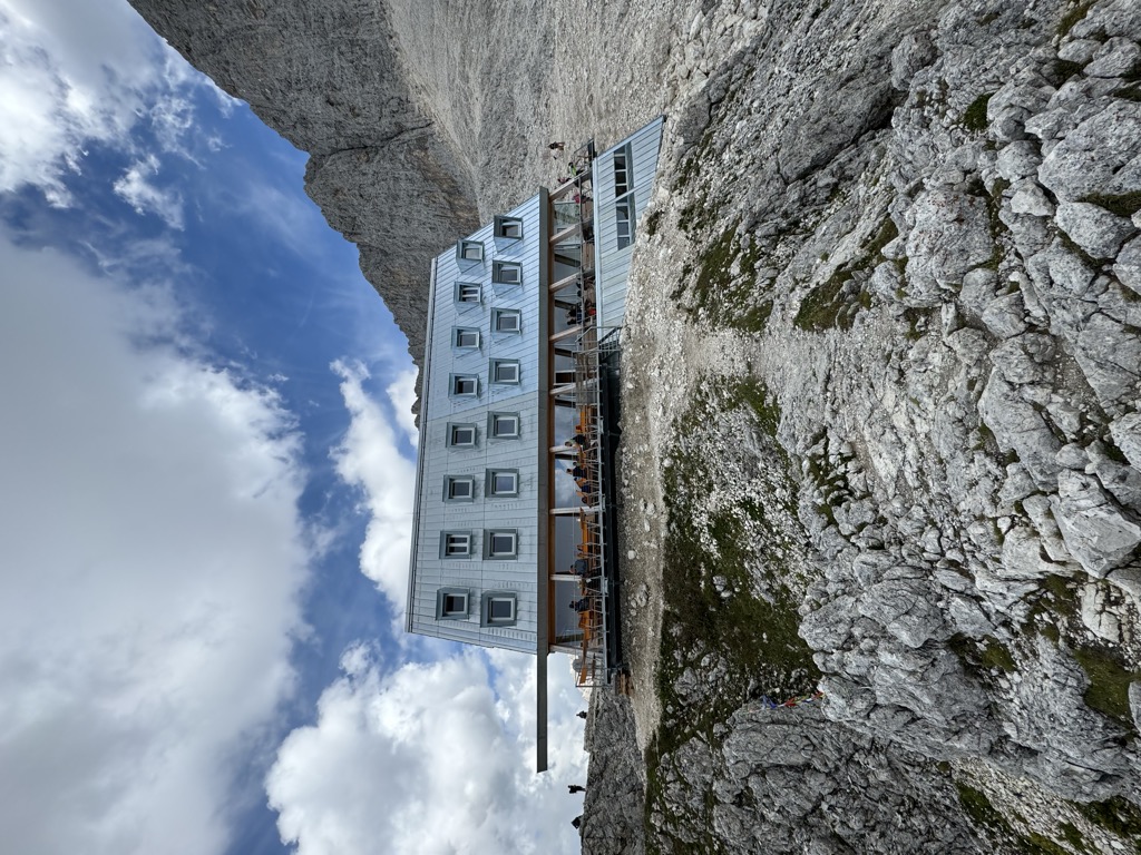
Rifugio Bolzano
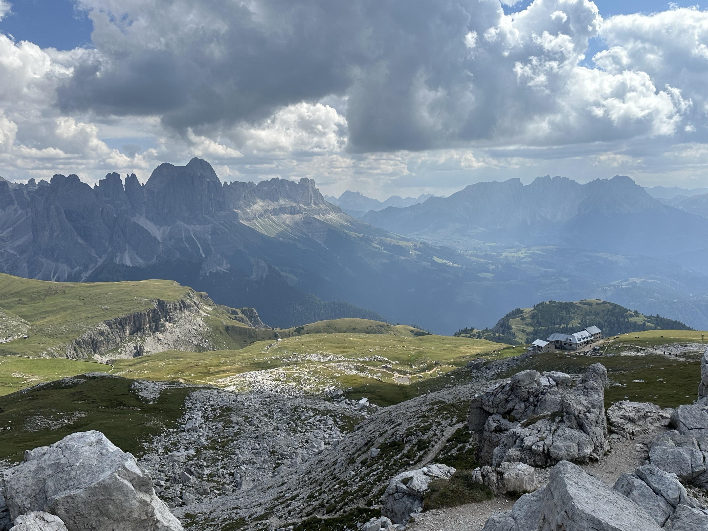
A refuge on the summit plateau of the Sciliar above Fiè, one of the oldest in South Tyrol, reached by the paths from the Alpe di Siusi.
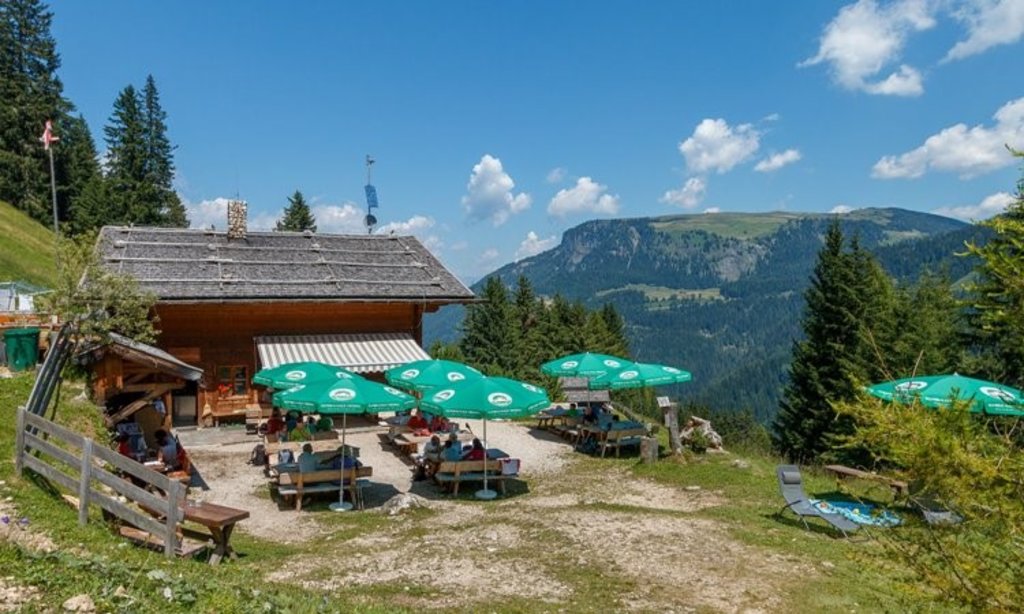
Malghetta Sciliar
5.2 km away, in Castelrotto/Kastelruth
A small hut at 1,693 m on the shelf below the Sciliar, on the Castelrotto side of the massif and beside the geological trail.
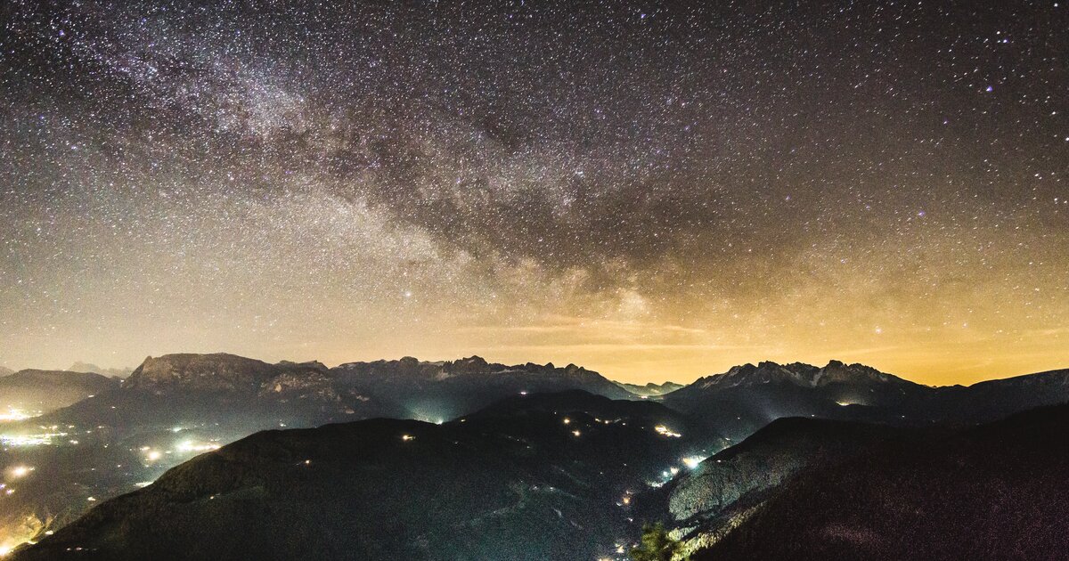
Mini - Sentiero delle Stelle a Collepietra
5.6 km away, in Cornedo all'Isarco/Karneid
A short themed walk on the planets at Collepietra, the star village above the Val d'Ega, beside the local planetarium.
Rifugio Dibaita
7.9 km away, in Castelrotto/Kastelruth
A hut at 1,974 m on the Alpe di Siusi, 20 minutes on foot from the centre of Compaccio, looking from the Sciliar massif across to the Ortles group.
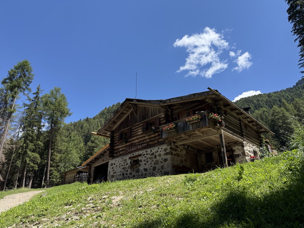
Sterzing, Pfitsch und FreienfeldMalga Schafstall
8 km away, in Castelrotto/Kastelruth
A hut at 1,500 m above Castelrotto, 15 minutes on path 9 from the Marinzen gondola top station, or on path 8 up from the village.
Sterzing, Pfitsch und FreienfeldAlpe di Siusi
8.3 km away, in Castelrotto/Kastelruth
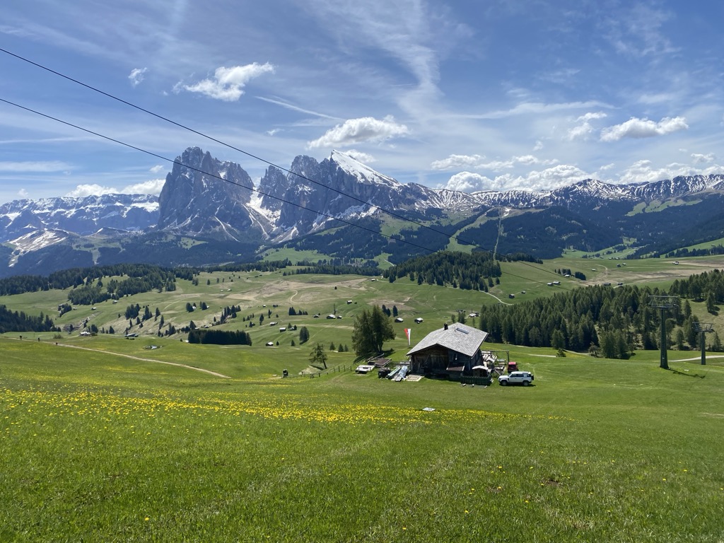
Europe's largest high alpine meadow above Castelrotto, at 1,700-2,300 m below the Sciliar.
Rifugio Arnika
8.7 km away, in Castelrotto/Kastelruth
A hut at 2,059 m on the Bullaccia above Castelrotto, with a sun terrace and a children's playground, and in winter a ski taxi back to the Hexe piste.
Sterzing, Pfitsch und FreienfeldMalga Gostner Schwaige
9.4 km away, in Castelrotto/Kastelruth
A pasture hut at 1,911 m on the Alpe di Siusi above Castelrotto, on the meadows along the way from Compaccio towards Saltria.
Malga Gostner
9.4 km away, in Castelrotto/Kastelruth
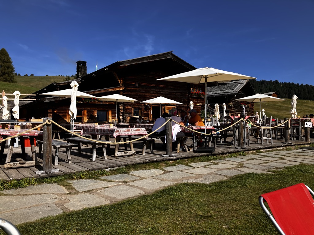
A dairy hut at 1,911 m on the Alpe di Siusi making its own cheese, about 30 minutes up path 3 from Compaccio, with hay soup served in a bread crust.
rifugio Passo Santner
9.8 km away, in Tires/Tiers
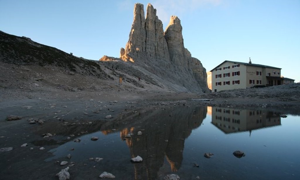
A hut at 2,734 m at the Passo Santner in the Catinaccio, at the top of the via ferrata over the pass above Tires.
Rifugio Re Alberto 1°
9.9 km away, in Tires/Tiers
A hut at 2,621 m in the Catinaccio group, known in German as the Gartlhütte and reached by the Passo Santner via ferrata from Pera di Fassa.
Catinaccio
10.1 km away, in Tires/Tiers
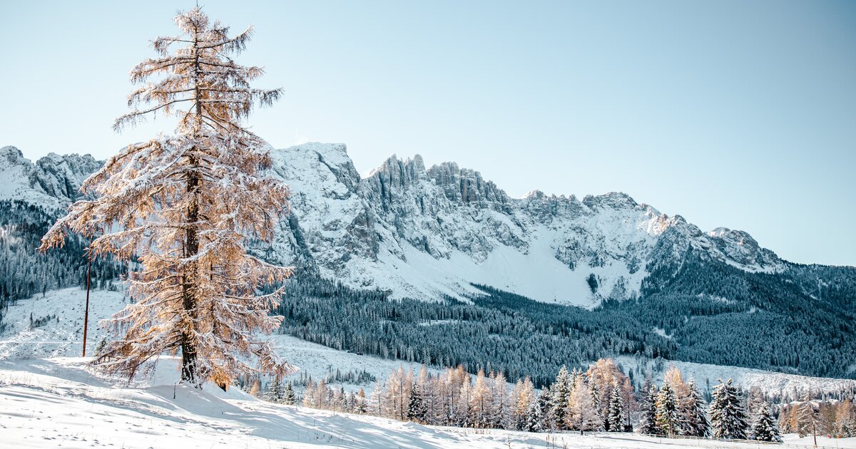
The dolomite massif of the Catinaccio, or Rosengarten, seen from Tires in the Val d'Ega; its walls redden in the evening light.
Rifugio Molignon
10.3 km away, in Castelrotto/Kastelruth
A hut at 2,059 m on the Alpe di Siusi above Castelrotto, cooking Tyrolean Geröstl with smoked speck and apple strudel straight from the oven.
Sterzing, Pfitsch und FreienfeldMalga Contrin
11 km away, in Castelrotto/Kastelruth
A pasture hut at just over 2,000 m on a sunny rise of the Alpe di Siusi above Castelrotto, passed by the Alta Via delle Dolomiti n. 8.
Sanonhütte
11.2 km away, in Castelrotto/Kastelruth
One of the most traditional huts on the Alpe di Siusi, at 1,851 m above Castelrotto, run as a family house and reached on foot or by mountain bike.
Sterzing, Pfitsch und Freienfeld
Nothing of this kind in Fiè allo Sciliar/Völs am Schlern.
Routes
Wanderung auf der Seiser Alm mit Rosszahnscharte und Maximilian-Klettersteig
A crossing of the Alpe di Siusi to the Rosszahnscharte and the Tierser Alpl, taking in the Maximilian ferrata, with the Sciliar and Sassolungo in view.
- 22.8 km
- Distance
- 1 463 m
- Ascent
- 12 h 53 min
- Duration
- 552
- Check-ins
 Petz - Monte Pez 2 568 m
- Großer Rosszahn 2 653 m
- Gugglochegg 2 648 m
- Roterdspitze - Cima di Terrarossa 2 655 m
 Tierser Alpl Hütte - Rifugio Alpe di Tires 2 440 m
- Schlernhaus - Rifugio Bolzano 2 457 m
- +10
Open route AVS Sektion Sand in TaufersSentiero tematico Peterbühl
A short archaeological trail on the Peterbühl above Fiè, past finds from the Bronze Age to the early Middle Ages.
- 955 m
- Distance
- 31 m
- Ascent
- 16 min
- Duration
- 9
- Check-ins
Open route Seis am SchlernSentiero dei 7 laghetti
A long link between seven small ponds under the Sciliar, from Aica di Fie to San Costantino, partly inside the Sciliar-Catinaccio park.
- 13.2 km
- Distance
- 336 m
- Ascent
- 4 h 3 min
- Duration
- 53
- Check-ins
 Huber-Weiher - Laghetto Huber 1 080 m
- Völser Weiher - Laghetto di Fiè 1 050 m
- Hotel Waldsee 1 063 m
- Pfarrmoos 905 m
- Hofmüller 837 m
- Hofschmid 833 m
- +4
Open route Seis am SchlernDa Umes alla Punta del Monte Balzo
A climb from Umes over meadow into the Rio Sciliar valley, then through thick wood to the Tschafon hut and on to the Volseggspitze.
- 13.2 km
- Distance
- 1 015 m
- Ascent
- 6 h 35 min
- Duration
- 124
- Check-ins
- Völseggspitze 1 836 m
- Tschafon - Monte Cavone 1 754 m
- Schutzhaus Tschafon - Rifugio Monte Cavone 1 737 m
- Hofer Alpl 1 364 m
- Tschafonleger 1 367 m
Open route Sterzing, Pfitsch und Freienfeld429 Variante Giro Schnaggenkreuz I
A 380 m link from the Braunhof over to Tasioler, joining the tour up to the Hofer Alpl with the circuit around the wayside cross.
- 377 m
- Distance
- 0 m
- Ascent
- 3 min
- Duration
Open route Seis am Schlern291 Collegamento Aica di Fiè-Tires
A link mostly on the provincial road between Aica di Fiè and Tires al Catinaccio, where the Plafötsch-Haniger e-MTB tour begins.
- 8.0 km
- Distance
- 273 m
- Ascent
- 54 min
- Duration
- 27
- Check-ins
- Gasthof Edelweiss 1 059 m
- Pioger Platzl 1 055 m
- Kerschbaumerhof 1 086 m
- Haus Kritzinger 1 103 m
- Unterwegerhof 931 m
- Tourismusbüro Tiers 1 025 m
- +1
Open route Seis am Schlern423 Sciliar-Catinaccio Ronda in senso orario
A big circumnavigation of the Sciliar and Catinaccio massifs, crossing the Passo Duron and touching the Val di Fassa and the Val d'Ega.
- 79.4 km
- Distance
- 2 524 m
- Ascent
- 9 h 26 min
- Duration
- 768
- Check-ins
- Rifugio Micheluzzi 1 860 m
- Baita Lino Brach 1 867 m
- Baita Fraines 1 609 m
 Jëuf da Duron - Mahlknechtjoch - Passo Duron 2 204 m
- Edelweiss Hütte 2 042 m
- Mahlknecht Hütte - Rifugio Molignon 2 059 m
- +37
Open route Seis am SchlernVigo di Fassa - Costalunga/Carezza Pass - Tires - Castelrotto - Ortisei - Sella Pass - Canazei - Vigo di Fassa
A very long road circuit from Vigo over the Costalunga, through Castelrotto and Ortisei and back across the Sella pass.
- 108.5 km
- Distance
- 2 753 m
- Ascent
- 12 h 13 min
- Duration
- 2045
- Check-ins
- Val Dantermont 1 728 m
- L'Angolino del Sella 2 179 m
- In Sella 2 182 m
- Sella Pass 2 240 m
- Passo di Costalunga - Karerpass 1 745 m
- Laghetto Lupo Bianco 1 726 m
- +75
Open route APT Val di FassaSentiero dei masi
A circuit past the old farms, country inns, vineyards and chestnut groves around Fie allo Sciliar, with Castel Presule on the way.
- 11.3 km
- Distance
- 451 m
- Ascent
- 3 h 46 min
- Duration
- 3
- Check-ins
- Fingerhof 794 m
- Fronthof 793 m
- Buschenschank Innerperskolerhof 729 m
- Zoar 763 m
- Tommelehof 702 m
- Karnoder Schupfe 858 m
- +1
Open route Seis am Schlern430 Variante Giro Schnaggenkreuz II
A 600 m connector between Moar Mühle and the Peternader farm, giving access in either direction to the loop around the Schnaggen cross.
- 600 m
- Distance
- 0 m
- Ascent
- 5 min
- Duration
Open route Seis am Schlern256 Schnaggenkreuz con Variante Monte Cavone
A short, steep variant on the flanks of the Croda del Maglio and the Tschafon, for riders with legs left at the end of the main loop.
- 7.1 km
- Distance
- 389 m
- Ascent
- 58 min
- Duration
- 9
- Check-ins
Open route Seis am Schlern249 Tour alla malga Hofer Alpl
A forest-road tour through the woods of the Sciliar-Catinaccio park, past the Völser Weiher and the Tuffalm to a dairy on the Schlern slopes.
- 16.6 km
- Distance
- 646 m
- Ascent
- 2 h 5 min
- Duration
- 141
- Check-ins
- Tuffalm 1 270 m
- Hofer Alpl 1 364 m
- Huber-Weiher - Laghetto Huber 1 080 m
- Völser Weiher - Laghetto di Fiè 1 050 m
- Bar Petra 891 m
- Schlunhof 933 m
Open route Seis am SchlernEisacktal Valley Bike Route: Brenner - Bozen
A long, almost entirely downhill valley ride from the Brenner border to Bozen, following the Eisack river the whole way.
- 96.5 km
- Distance
- 313 m
- Ascent
- 9 h 14 min
- Duration
- 185
- Check-ins
- Paterbichl 559 m
- Mila Bistro 282 m
- Klammwirt 559 m
- Hiasele 312 m
- Agrocenter Bozen OHG 296 m
- Senfter 532 m
- +22
Open route Gitschberg - Jochtal292 Collegamento Fiè-Siusi
A connecting ride on cycle paths from Fiè to Siusi allo Sciliar, past S. Antonio, the chapel of S. Costantino and the S. Vigilio golf course.
- 7.4 km
- Distance
- 190 m
- Ascent
- 47 min
- Duration
- 6
- Check-ins
Open route Seis am Schlern390 Collegamento Valle D’Iscarco – Region dolomitica Alpe di Siusi
A long climb from the valley cycle path up towards Castelrotto and Siusi, calling at farm inns such as Campedèl and the Malenger Mühle.
- 19.9 km
- Distance
- 619 m
- Ascent
- 2 h 22 min
- Duration
- 21
- Check-ins
- Tourist Info 1 003 m
- Wergeserhof 932 m
- Bar Petra 891 m
- Lafogl 745 m
- Hofschank Campedèl 829 m
- Simmelemüller 831 m
- +7
Open route Seis am SchlernCastelfeder – Bolzano – Valle Isarco
The Adige cycle path from the Bolzano basin up the Isarco valley by Chiusa toward Bressanone.
- 76.1 km
- Distance
- 617 m
- Ascent
- 7 h 12 min
- Duration
- 183
- Check-ins
- Paterbichl 559 m
- Mila Bistro 282 m
- Kampill Center 270 m
- Klammwirt 559 m
- Hiasele 312 m
- Agrocenter Bozen OHG 296 m
- +17
Open route Südtirols Süden258 Collegamento Valle Isarco I.
A steep connector out of the Valle Isarco floor, climbing past the Obertrisairhof to the Alpe di Siusi-Val Gardena bike network.
- 4.9 km
- Distance
- 466 m
- Ascent
- 47 min
- Duration
- 2
- Check-ins
Open route Seis am SchlernIn bici tra dolci vigneti e le maestose Dolomiti – da Egna a Castelrotto
A long climb-heavy ride from the vineyard country north of Trento up to the village of Castelrotto, with the Dolomites in view on the upper half.
- 55.5 km
- Distance
- 1 169 m
- Ascent
- 5 h 44 min
- Duration
- 146
- Check-ins
- Mila Bistro 282 m
- Kampill Center 270 m
- Hiasele 312 m
- Agrocenter Bozen OHG 296 m
- Tourist Information 1 069 m
- Hochklaus 380 m
- +13
Open route Seis am SchlernBy bike from gentle vineyards to the majestic Dolomites – from Egna to Castelrotto
A road tour that leaves the Adige vineyards on the South Tyrolean Wine Road and then climbs steadily to Castelrotto beneath the Dolomites.
- 55.3 km
- Distance
- 1 168 m
- Ascent
- 5 h 43 min
- Duration
- 130
- Check-ins
- Mila Bistro 282 m
- Hiasele 312 m
- Agrocenter Bozen OHG 296 m
- Tourist Information 1 069 m
- Hochklaus 380 m
- Puntnofen 311 m
- +12
Open route Südtirols Süden
No routes of this kind in Fiè allo Sciliar/Völs am Schlern yet.
The region's own picks

Featured route
Sentiero tematico Peterbühl
A short archaeological trail on the Peterbühl above Fiè, past finds from the Bronze Age to the early Middle Ages.
Planning a trip to Fiè allo Sciliar/Völs am Schlern?
Everything else Trentino-Alto Adige/Südtirol has, in one place


Take Fiè allo Sciliar/Völs am Schlern with you into the mountains
Every route on this page with 3D terrain, GPX navigation and offline maps — including the valleys with no signal.
Data sources
- Official website: seiseralm.it ↗
- Routes and highlights: Seis am Schlern, Sterzing, Pfitsch und Freienfeld, YesAlps, Südtirols Süden, Italia.it, AVS Sektion Sand in Taufers, APT Val di Fassa, Gitschberg - Jochtal
- Published as open data by the tourist boards named above.
- Region summary generated from the board's own material.
