
Curated by Salzkammergut
Faistenau
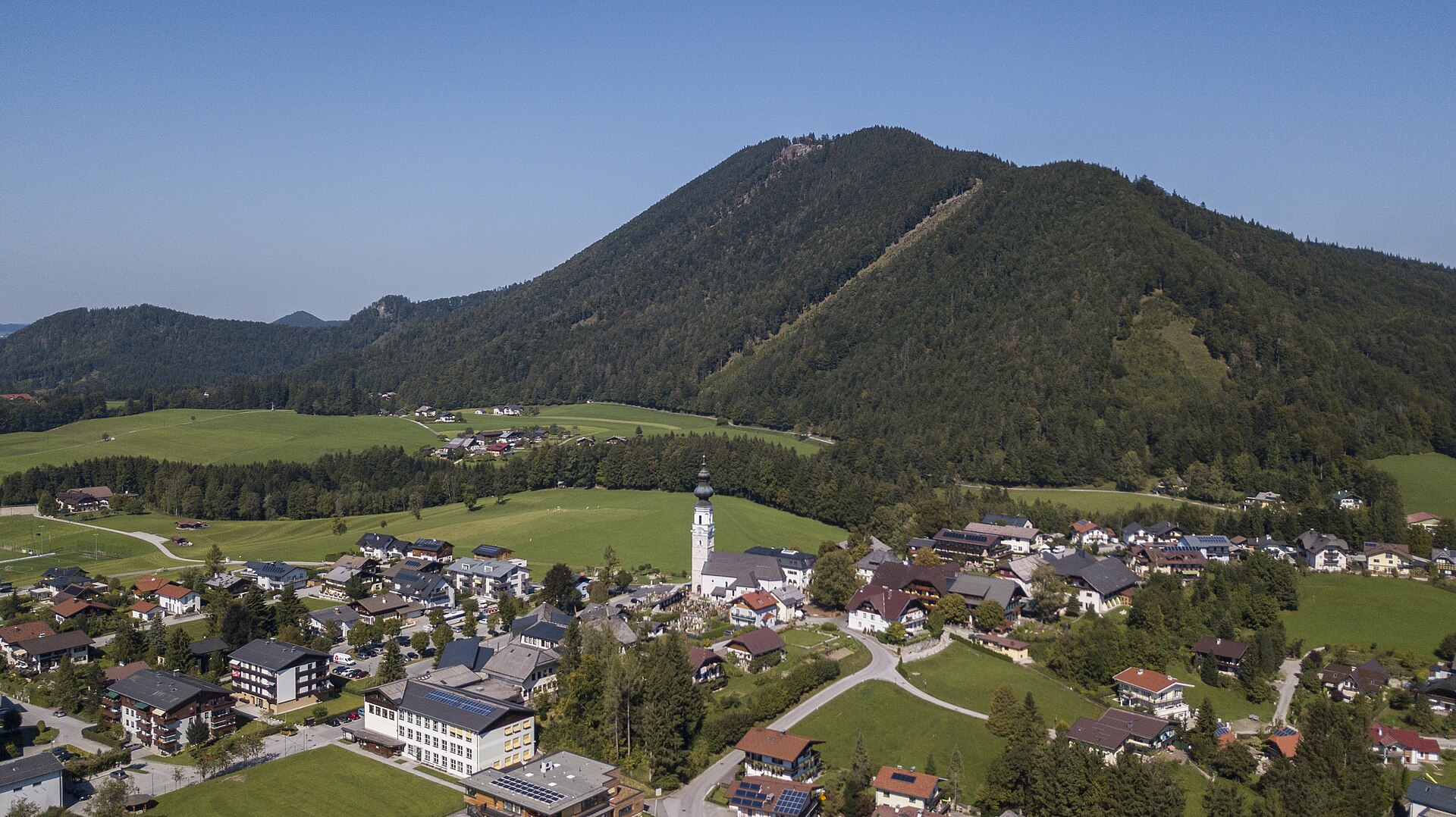
A green basin at 700 to 800 m in the Osterhorn hills east of Salzburg, moor lakes and cattle pasture between the Fuschlsee and the Wolfgangsee.
- 3Highlights
- 26Routes
Highlights
12 from neighbouring places
Hintersee
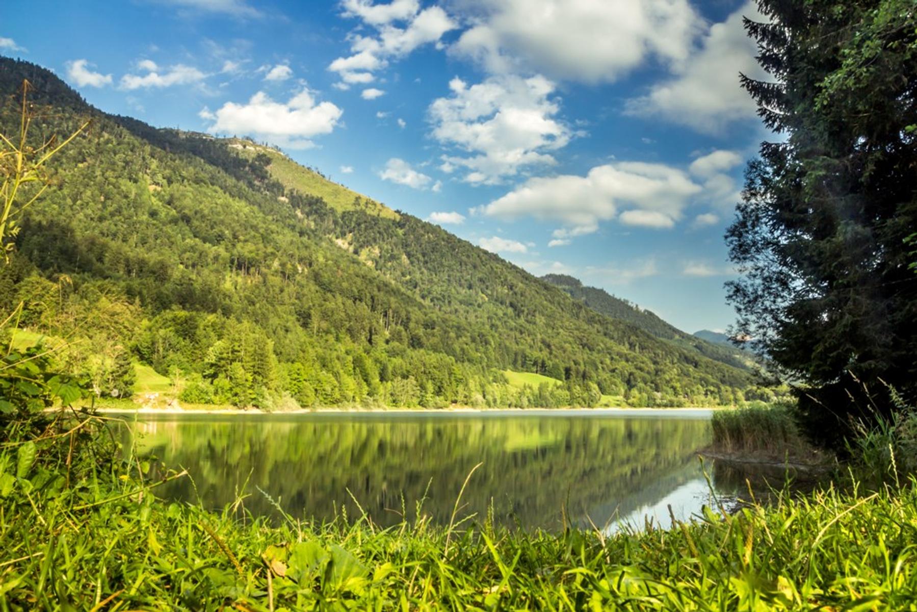
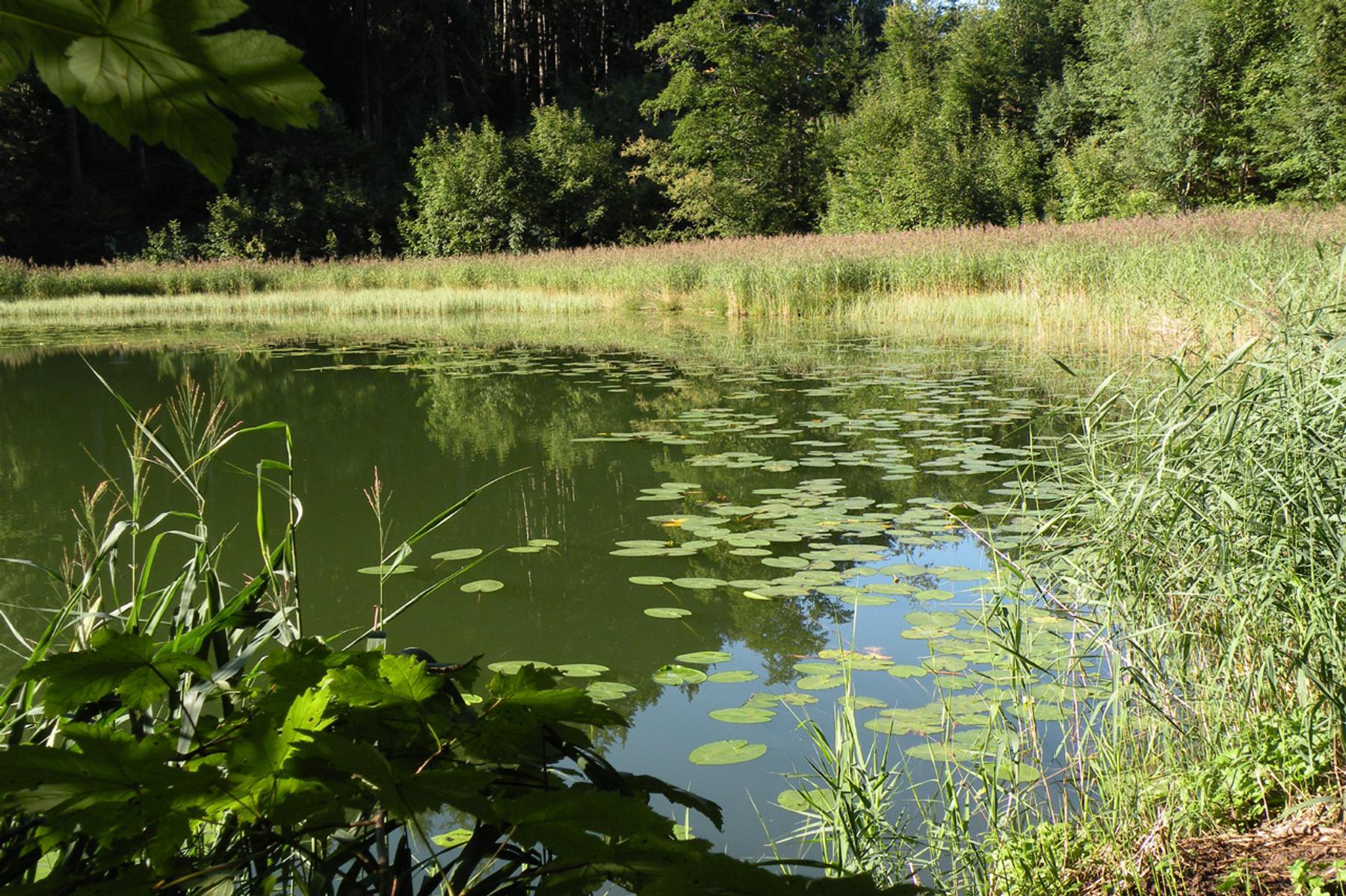
A quiet lake in a side valley of the Salzburg pre-Alps, ringed by forest and reached from Faistenau.
Spielplatz in Faistenau
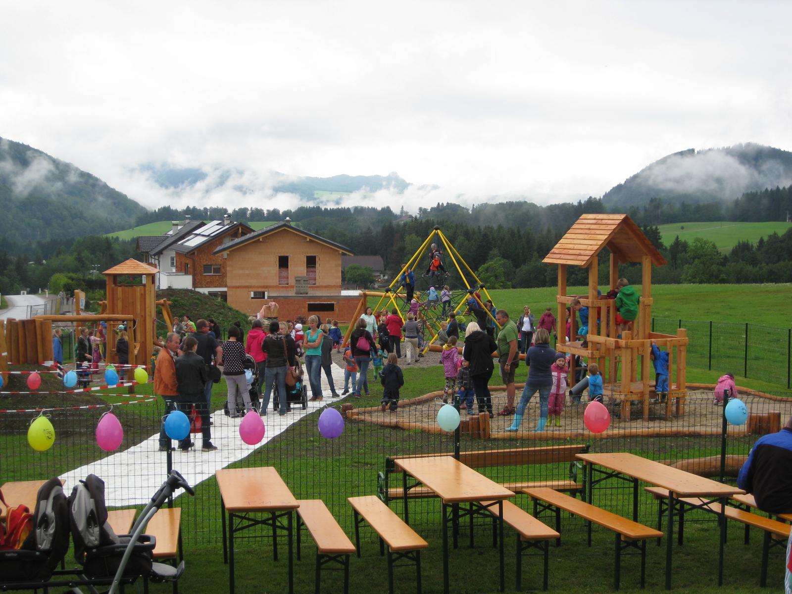
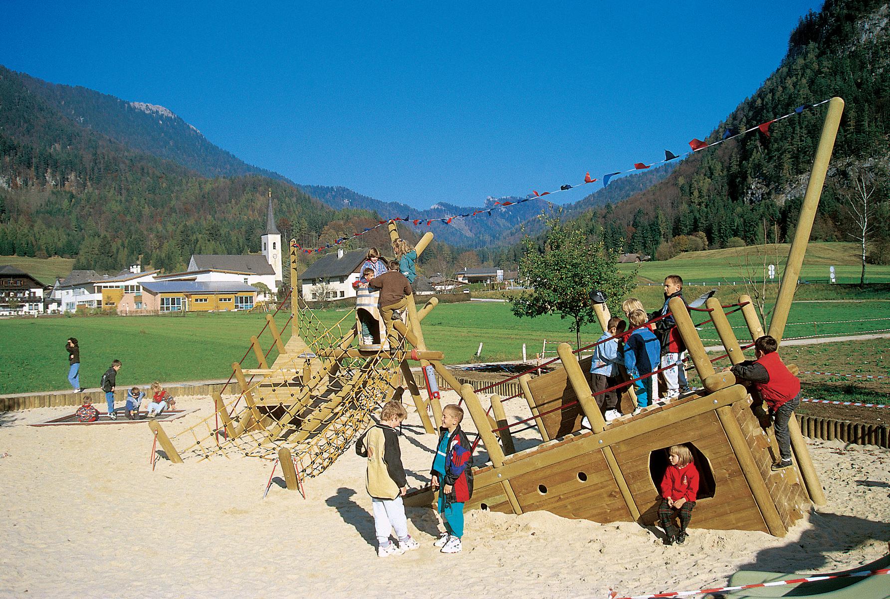
A large playground behind the municipal office in Faistenau, with a climbing tower, slide and slackline.
Filblingsee
2.6 km away, in Fuschl am See
A small lake above the Fuschlsee, an easy climb from the Faistenau hamlet of Tiefbrunnau.
Fuschlsee
4.6 km away, in Fuschl am See
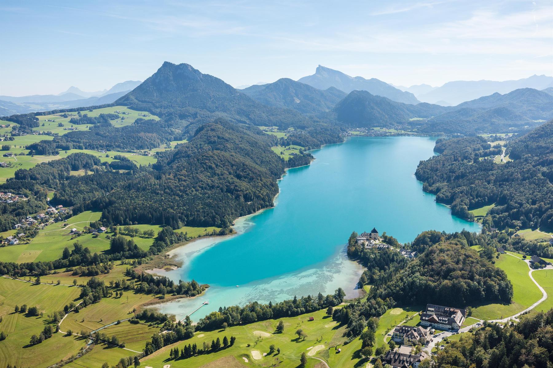
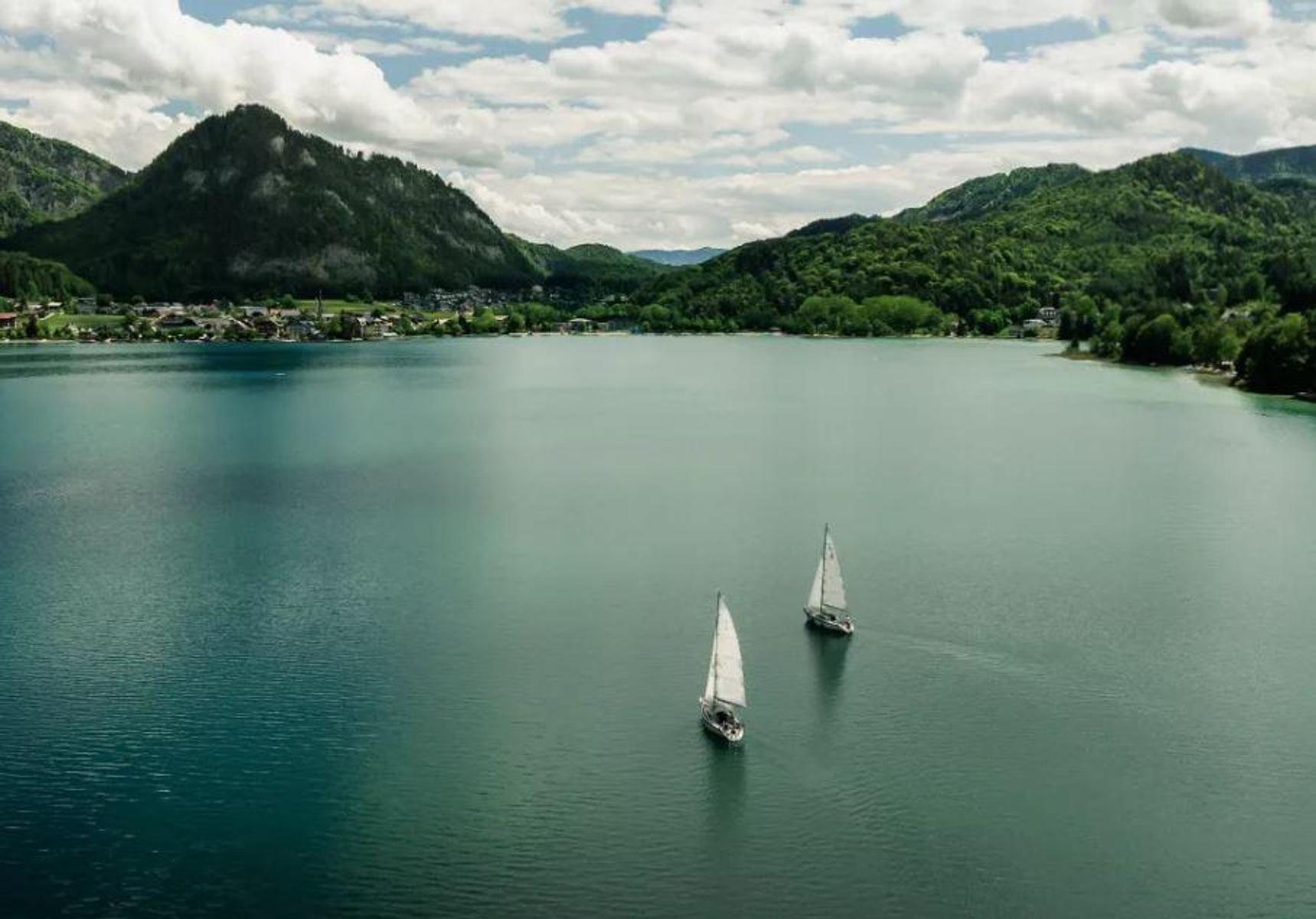
A clear lake between wooded ridges east of Salzburg, small enough to walk around in an afternoon.
Seeclub by Rosewood Schloss Fuschl
4.8 km away, in Fuschl am See
The lakeside club of Schloss Fuschl, in the grounds of the former archbishops' hunting seat on the Fuschlsee.
Rumingmühle
4.8 km away, in Fuschl am See
A restored grain mill at Fuschl am See, reopened to visitors to show the old milling craft.
Pfarrkirche Hl. Erasmus
4.9 km away, in Fuschl am See
The parish church of St. Erasmus at Fuschl am See.
Ostseite Moor
5.5 km away, in Fuschl am See
A moor on the eastern side of the Fuschlsee, with boardwalk paths through the wet ground.
Waldhof Alm
5.5 km away, in Fuschl am See
An alm above Fuschl am See, with a winter play area beside it.
Wintererlebniswelt Waldhof Alm
5.5 km away, in Fuschl am See
The winter side of the Waldhof Alm above Fuschl am See, serving tea, punch, Kasnocken and Kaiserschmarrn.
Eibensee Hochmoor Wildmoos Marienköpfl
7.6 km away, in Sankt Gilgen
A walking circuit from the Eibensee stream up to a high moor and the Marienköpfl above St. Gilgen.
Zwölferhorn Seilbahn
8.1 km away, in Sankt Gilgen
The cable car from St. Gilgen to the Zwölferhorn, above the Wolfgangsee.
 Historic site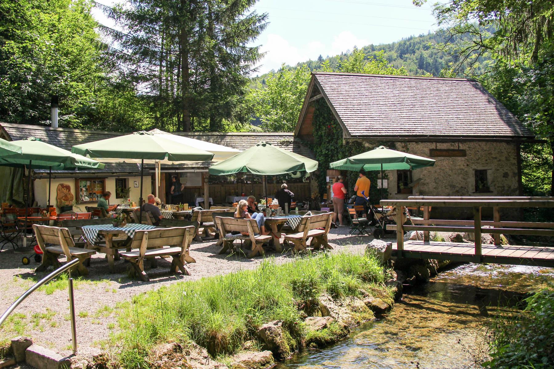
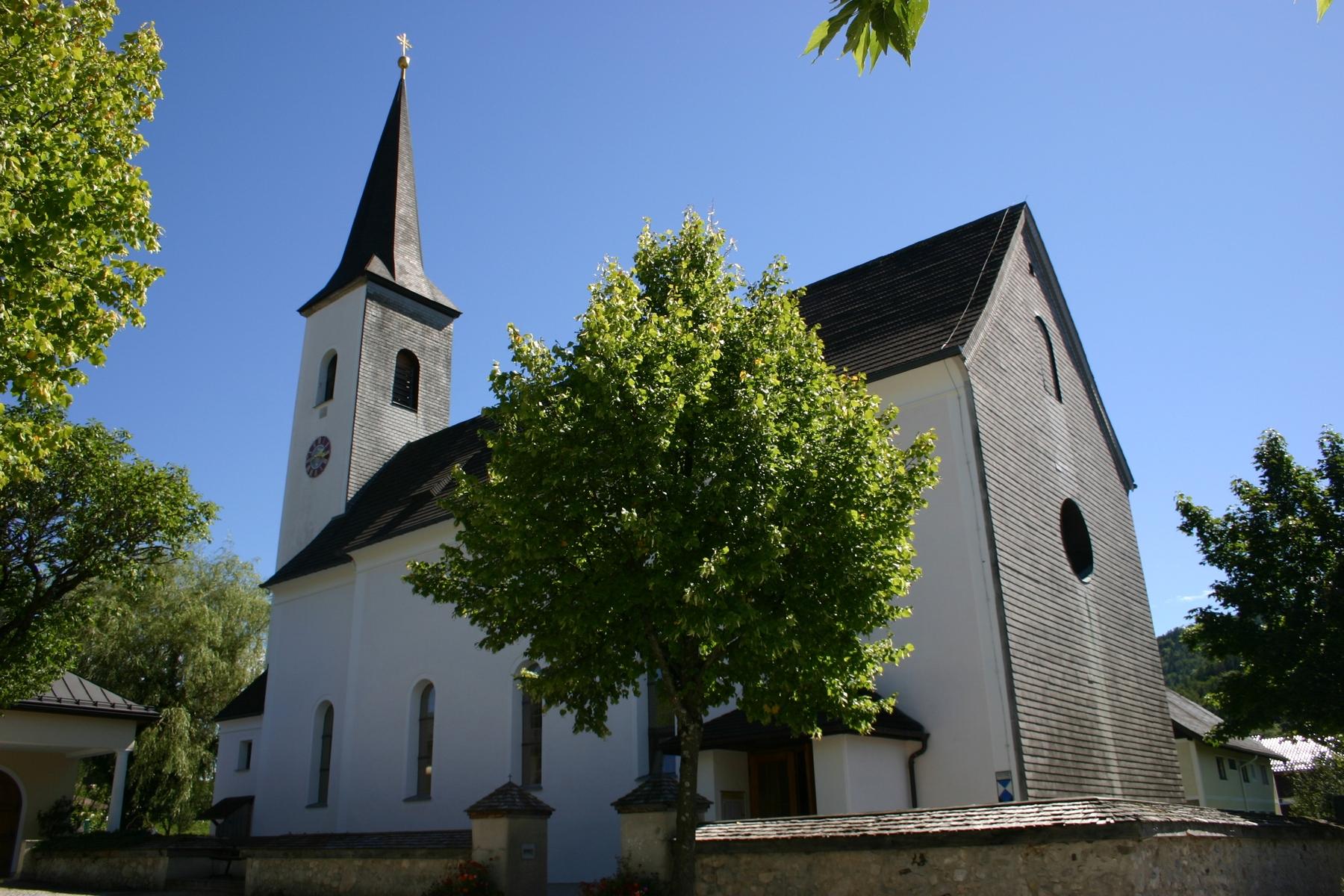
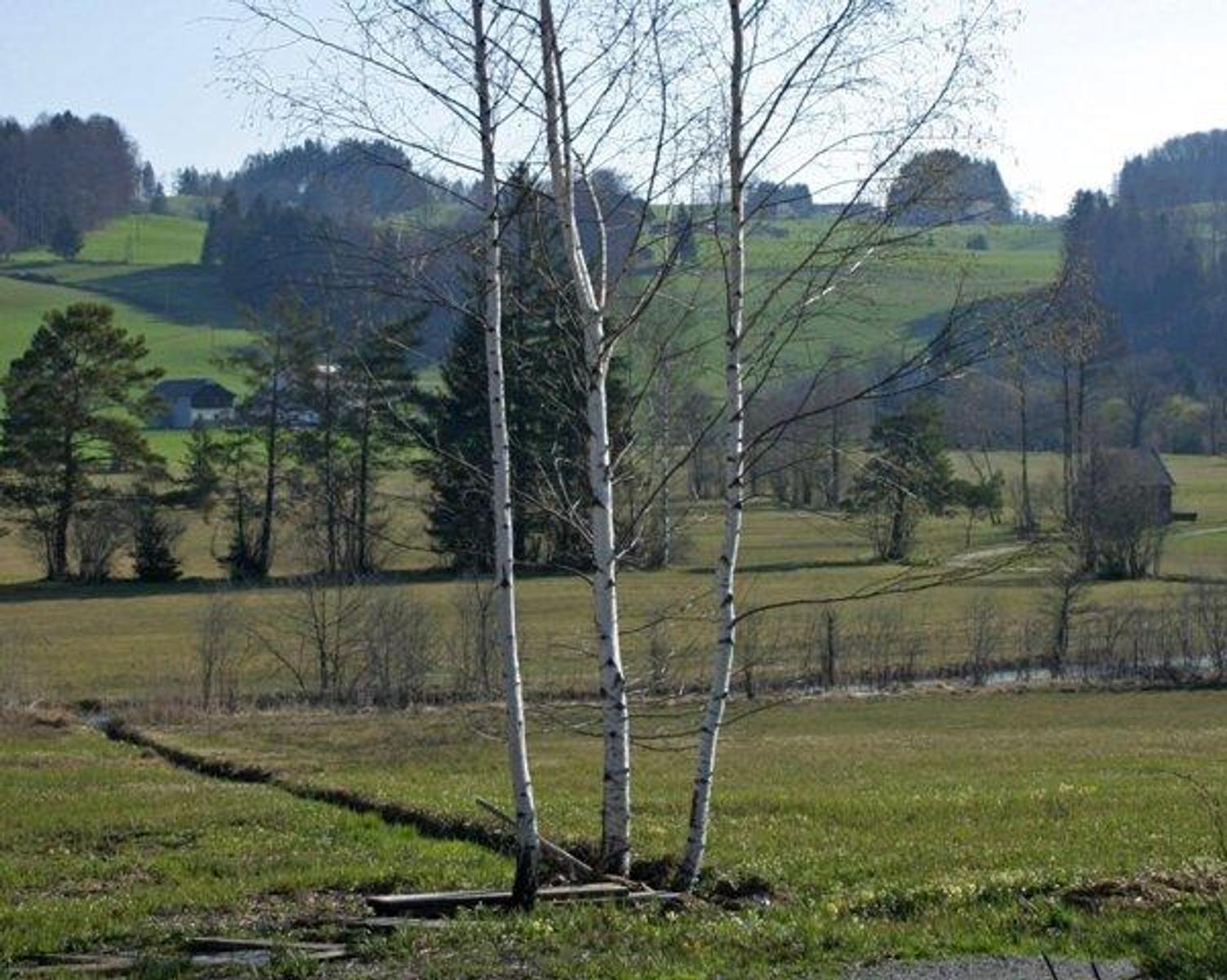
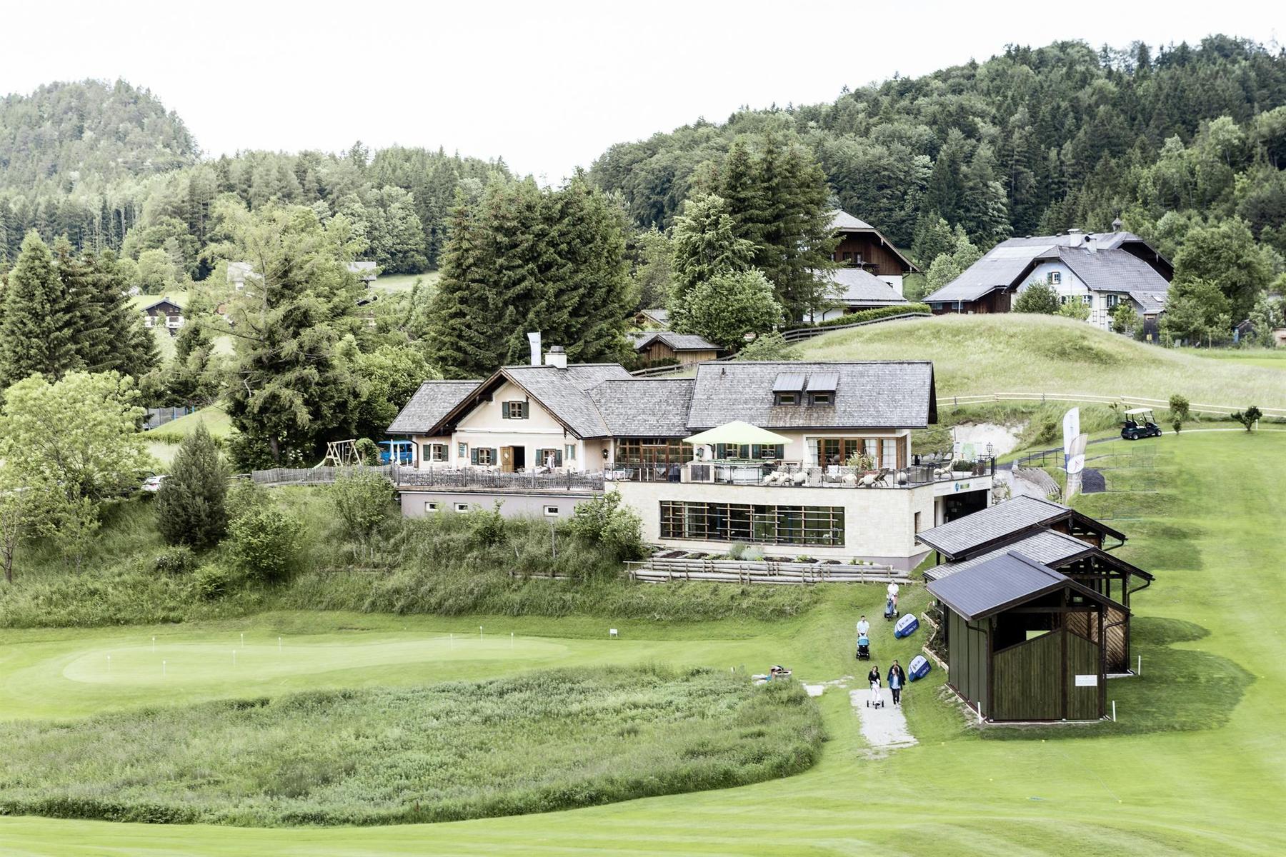
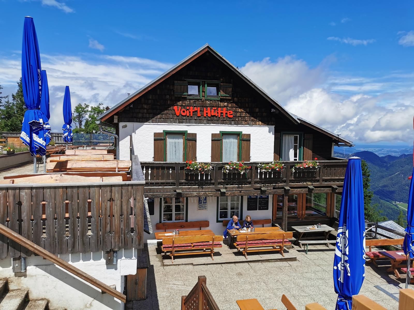
 Mountain hut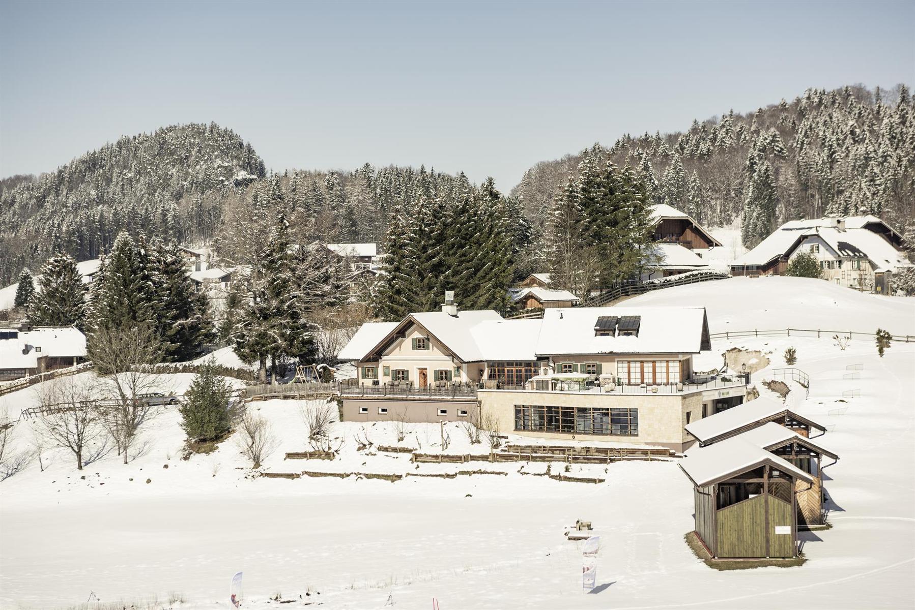
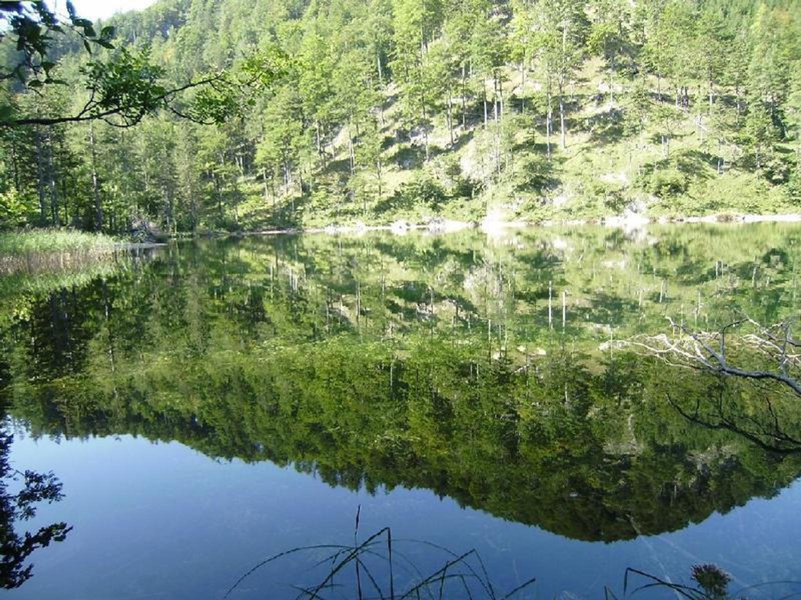
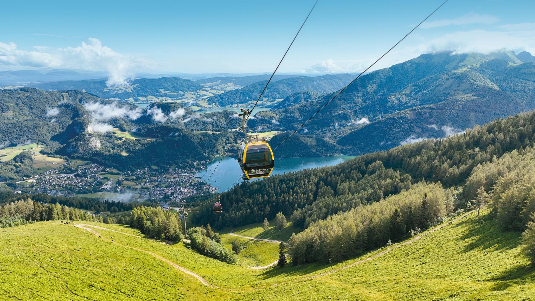
 Cable car
Nothing of this kind in Faistenau.
Routes
Dorf-Rundweg
An easy, almost level loop around Faistenau, a short way of getting to know the village and its immediate surroundings.
- 3.4 km
- Distance
- 69 m
- Ascent
- 57 min
- Duration
Bärenweg auf den Lidaun
A themed walk up the Lidaun from Faistenau, laid out with stops that keep children going all the way to the top.
- 9.2 km
- Distance
- 585 m
- Ascent
- 4 h 2 min
- Duration
Faistenauer Schafberg
A short but steep ascent above Faistenau, with close to a thousand metres of climbing packed into barely three kilometres.
- 19.4 km
- Distance
- 983 m
- Ascent
- 7 h 10 min
- Duration
Skitour Zwölferhorn und Pillstein
A ski tour over two summits above Sankt Gilgen, well regarded in the Salzkammergut for its wide views and for the descent.
- 8.0 km
- Distance
- 757 m
- Ascent
- 757 m
- Descent
- 2 h 57 min
- Duration
Mountainbike-Strecke: Sausteigalmen
A climb on forest and farm roads out of Faistenau in the Fuschlsee area, rising towards the Zwölferhorn and the pastures below it.
- 13.0 km
- Distance
- 712 m
- Ascent
- 1 h 57 min
- Duration
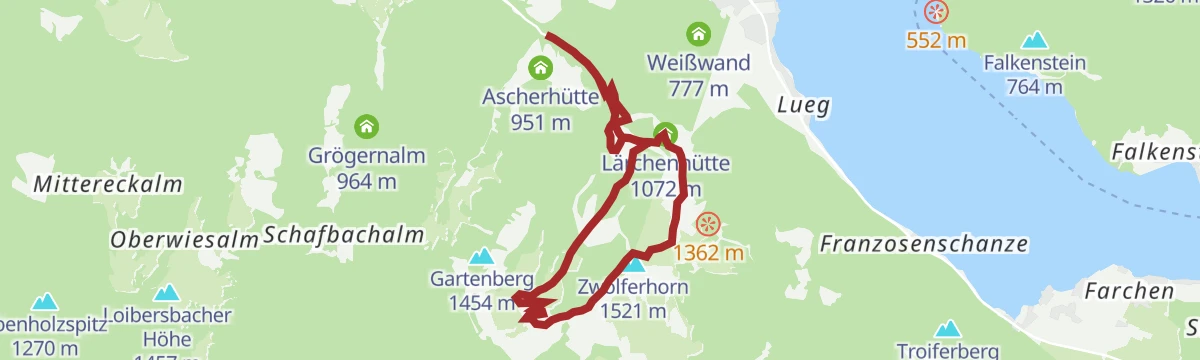
Die Fuschlerin
A gravel round to the Fuschlsee and right around the Zwölferhorn, through alm and woodland country.
- 36.3 km
- Distance
- 1 183 m
- Ascent
- 4 h 20 min
- Duration
Faistenau
A level round on the Bramsau ground, following the line of the local cross-country loop that is floodlit until nine in the evening.
- 4.9 km
- Distance
- 54 m
- Ascent
- 1 h 17 min
- Duration
Filbling von Faistenau
A steady climb from Faistenau up to the Filbling, one of the tops in the hills of the Fuschlsee region of the Salzburger Land.
- 11.9 km
- Distance
- 871 m
- Ascent
- 5 h 44 min
- Duration
Vom Hintersee auf den Ochsenberg
A long climb from the Hintersee up to the Ochsenberg, by way of the Vordersee, in the hills of the Salzkammergut.
- 17.8 km
- Distance
- 1 243 m
- Ascent
- 8 h 16 min
- Duration
Mountainbike-Strecke: Sonnberg
A short and very steep climb on the Sonnberg above Faistenau, in the hills of the Salzburg Flachgau, with some 700 m of ascent.
- 32.5 km
- Distance
- 747 m
- Ascent
- 3 h 35 min
- Duration
Rennradtour "4-Seen-Tour"
A road tour linking four of the lakes of the Salzburg Seenland, with a good deal of climbing between one valley and the next.
- 74.7 km
- Distance
- 1 425 m
- Ascent
- 7 h 58 min
- Duration
Grabnerweg / Rundwanderweg
An easy circular walk on the Grabnerweg above Faistenau, one of the marked village rounds in the Fuschlsee region.
- 6.0 km
- Distance
- 191 m
- Ascent
- 1 h 52 min
- Duration
Hamoosau
A circuit from Faistenau out to the Hintersee, on the network of marked walking paths that links the two sides of the valley.
- 7.5 km
- Distance
- 251 m
- Ascent
- 2 h 23 min
- Duration
Wieserhörndl
A long and demanding day out from Faistenau, linking the high ground above the Hintersee with the Ochsenberg on a single round.
- 21.5 km
- Distance
- 1 274 m
- Ascent
- 8 h 51 min
- Duration
Rennradtour "Strubklammrunde"
A road loop in the Fuschlsee region, taking in the narrow road that threads the Strubklamm gorge on its way back.
- 38.9 km
- Distance
- 615 m
- Ascent
- 4 h 2 min
- Duration
Hintersee Rundwanderweg
An easy, nearly level circuit right around the Hintersee, a lake in the Fuschlsee holiday region near Faistenau.
- 4.7 km
- Distance
- 67 m
- Ascent
- 1 h 16 min
- Duration
Lidaun (Weg 95 und 96, Gipfel 44)
A family-friendly ascent with the Bärenhöhle cave to explore, several possible variants, and the Fuschlsee in sight much of the way.
- 6.2 km
- Distance
- 565 m
- Ascent
- 2 h 41 min
- Duration
Kesselmann / Kühberg
A short, easy round over the Kühberg and past the Kesselmann, on the waymarked paths of the Faistenau valley in the Fuschlsee region.
- 3.7 km
- Distance
- 116 m
- Ascent
- 1 h 9 min
- Duration
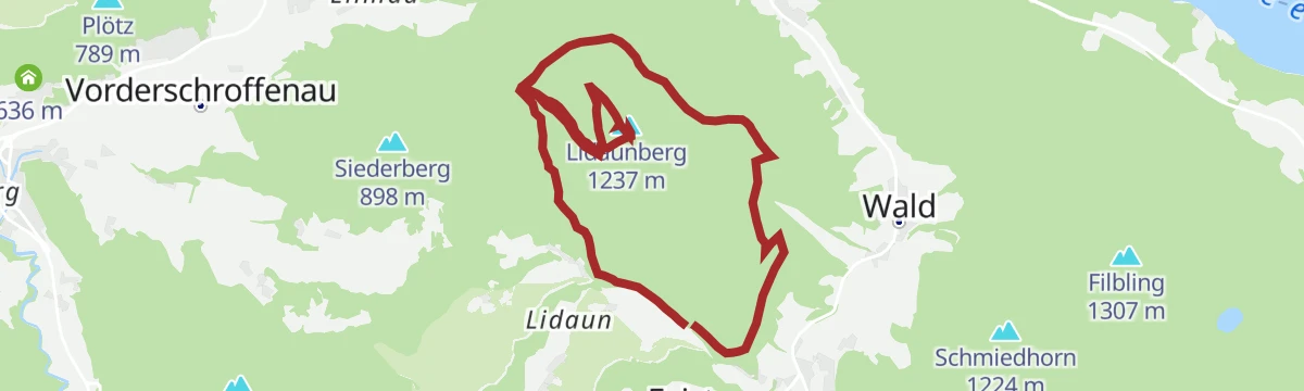
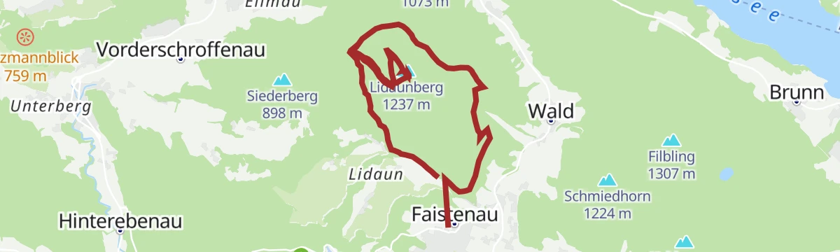
Lidaunberg
A steady climb from the Faistenau side onto the Lidaun, the hill that also carries the Bärenweg themed path to the summit.
- 10.3 km
- Distance
- 630 m
- Ascent
- 4 h 21 min
- Duration
Kugelberg-Rundwanderweg
A short loop over the Kugelberg above Faistenau, set out with brain-teaser stations and an interpretive trail.
- 4.0 km
- Distance
- 237 m
- Ascent
- 1 h 39 min
- Duration
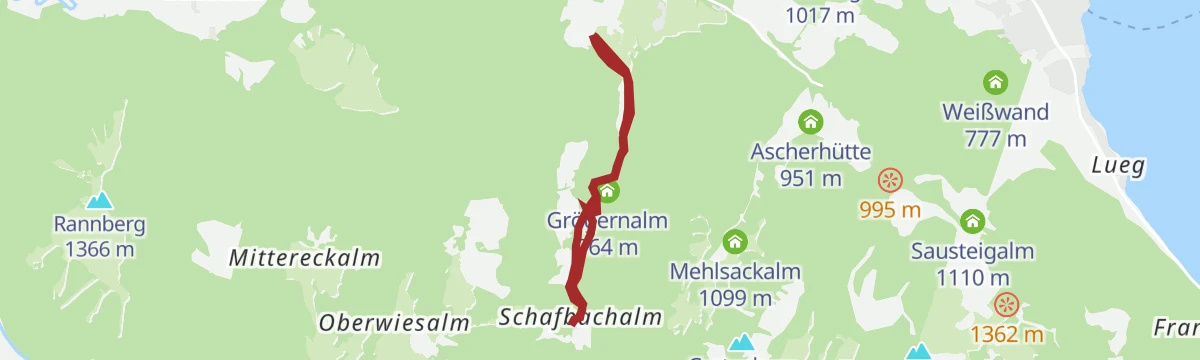
Schafbachalm
A walk from Faistenau over two alpine pastures to the Zwölferhorn, in the hills between the Fuschlsee and the Wolfgangsee.
- 14.1 km
- Distance
- 756 m
- Ascent
- 5 h 25 min
- Duration
Märchenwanderweg
A fairy-tale themed path from Faistenau up to the Schafbachalm, easy going and put together with children in mind.
- 5.2 km
- Distance
- 268 m
- Ascent
- 1 h 57 min
- Duration
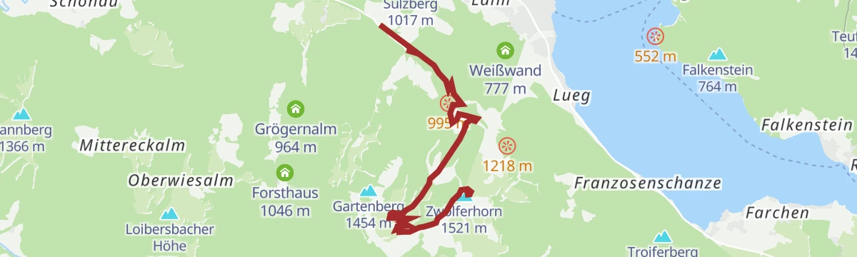
Zwölferhorn
A half-day summit walk from Faistenau in the Fuschlsee region, climbing at a steady angle from the valley to the top.
- 8.3 km
- Distance
- 606 m
- Ascent
- 3 h 53 min
- Duration
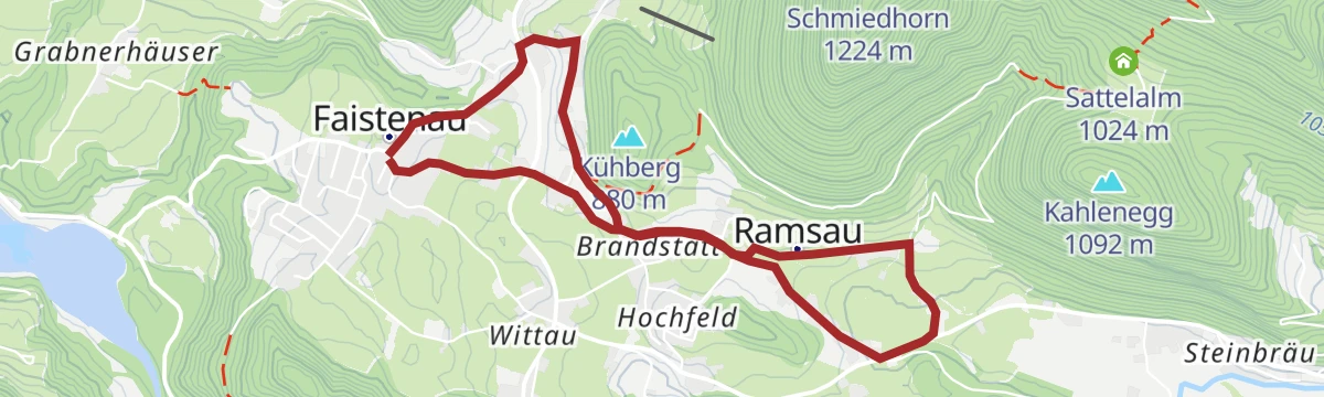
Ramsau
An easy, low-level circuit on marked field and forest paths through the countryside just outside the village of Faistenau.
- 5.6 km
- Distance
- 104 m
- Ascent
- 1 h 34 min
- Duration
Rundwanderweg Plaik & Weitwanderweg
An easy circuit at Plaik that links up with the long-distance route crossing the Faistenau area, mostly on gentle ground.
- 6.3 km
- Distance
- 331 m
- Ascent
- 2 h 23 min
- Duration
Wanderweg zum Felsenbad
An easy walk from the village out to the Felsenbad, gaining only a couple of hundred metres on waymarked paths.
- 5.0 km
- Distance
- 202 m
- Ascent
- 1 h 41 min
- Duration









No routes of this kind in Faistenau yet.
Planning a trip to Faistenau?
Everything else Salzburg (state) has, in one place


Take Faistenau with you into the mountains
Every route on this page with 3D terrain, GPX navigation and offline maps — including the valleys with no signal.
Data sources
- Official website: fuschlsee.salzkammergut.at ↗
- Routes and highlights: Salzkammergut
- Published as open data by the tourist boards named above.
- Region summary generated from the board's own material.
