
Curated by Visit Ossola
Domodossola
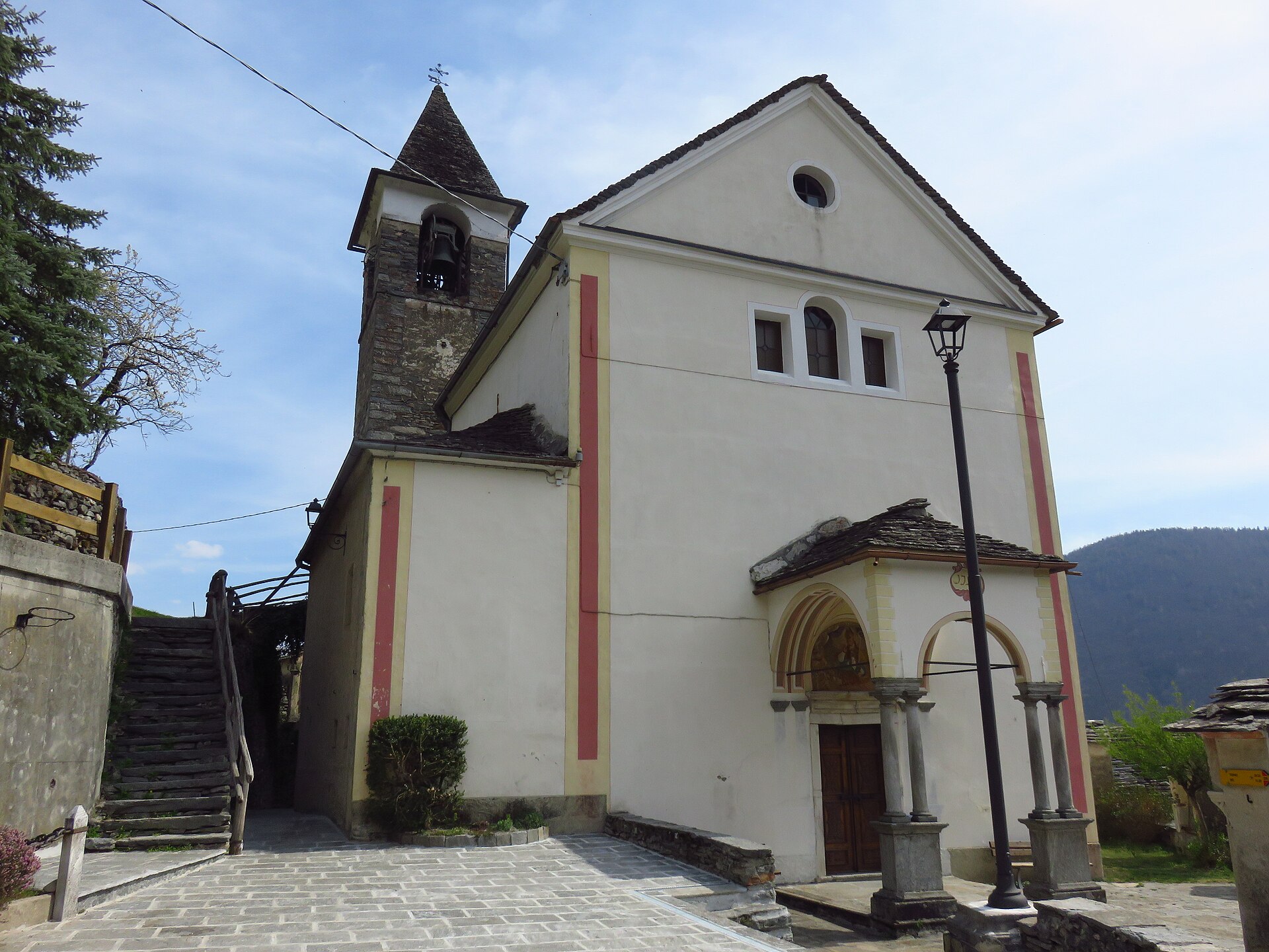
Ossola's market town where four valleys meet, with an arcaded medieval square and the Sacro Monte Calvario above.
Photo: Francoerbi · CC BY-SA 4.0 licence
- 12Highlights
- 6Routes
Highlights
3 from neighbouring places
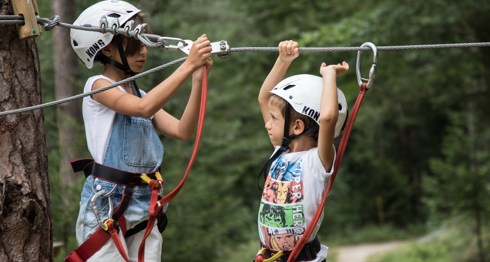
Abenteuerpark Domobianca
A rope and zip course in the woods at Domobianca above Domodossola.
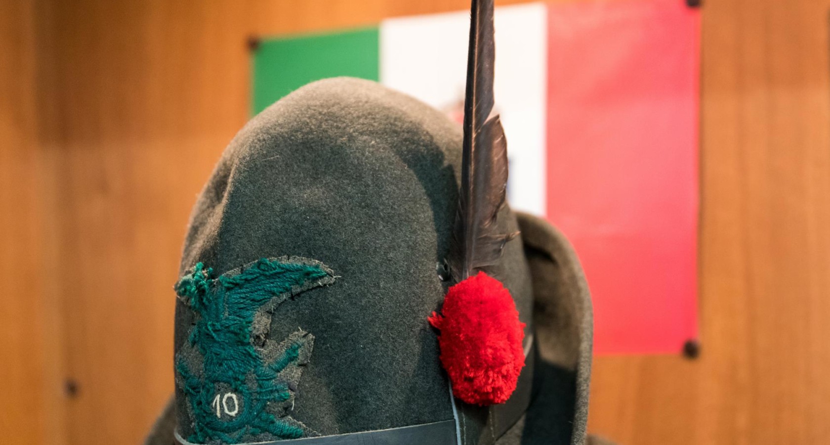
Museo Casa dell’Alpino
A museum at Domodossola on the Alpini, the Italian mountain troops raised in these valleys.
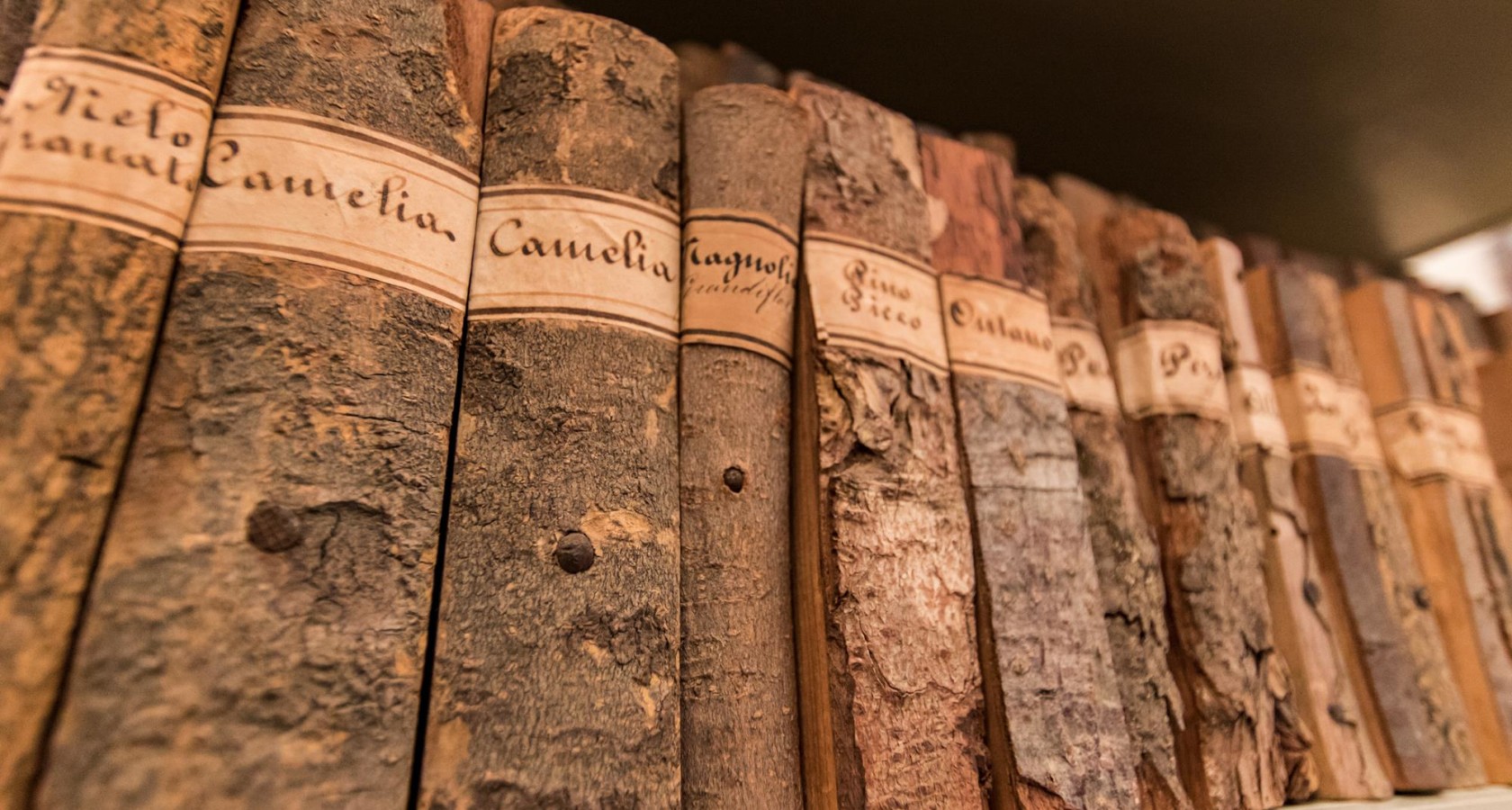
Museo di Scienze Naturali di Domodossola
Ossola geology, minerals and wildlife, shown in Domodossola's Palazzo San Francesco.
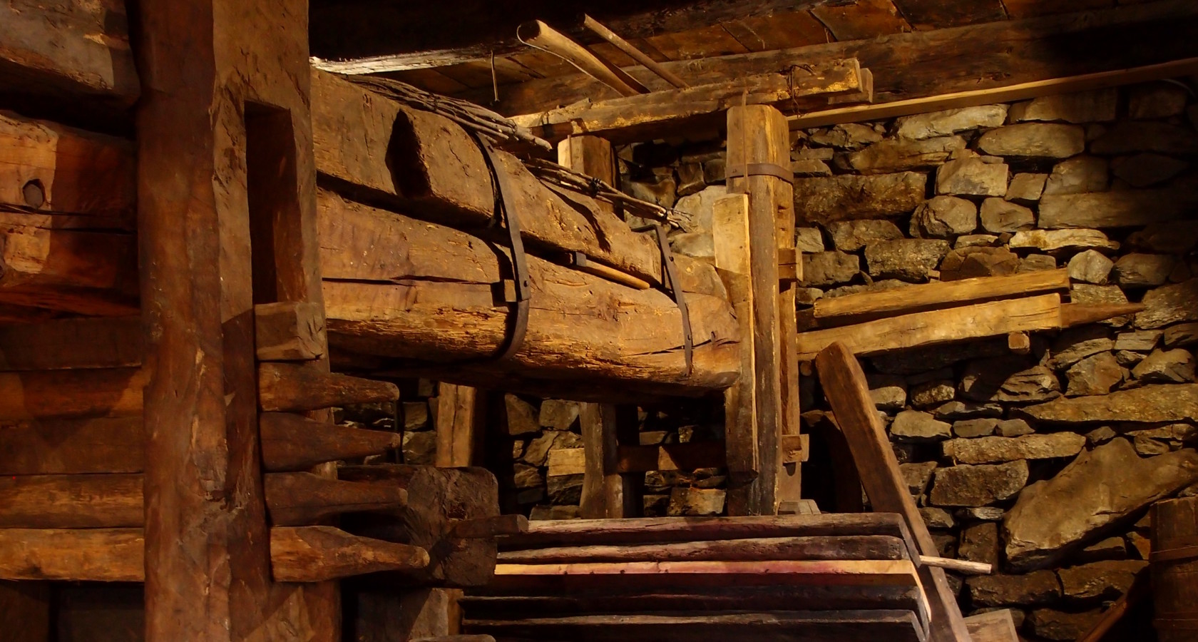
Antico torchio di Monteossolano
A great timber wine press at Monteossolano above Domodossola, once shared by the hamlet.
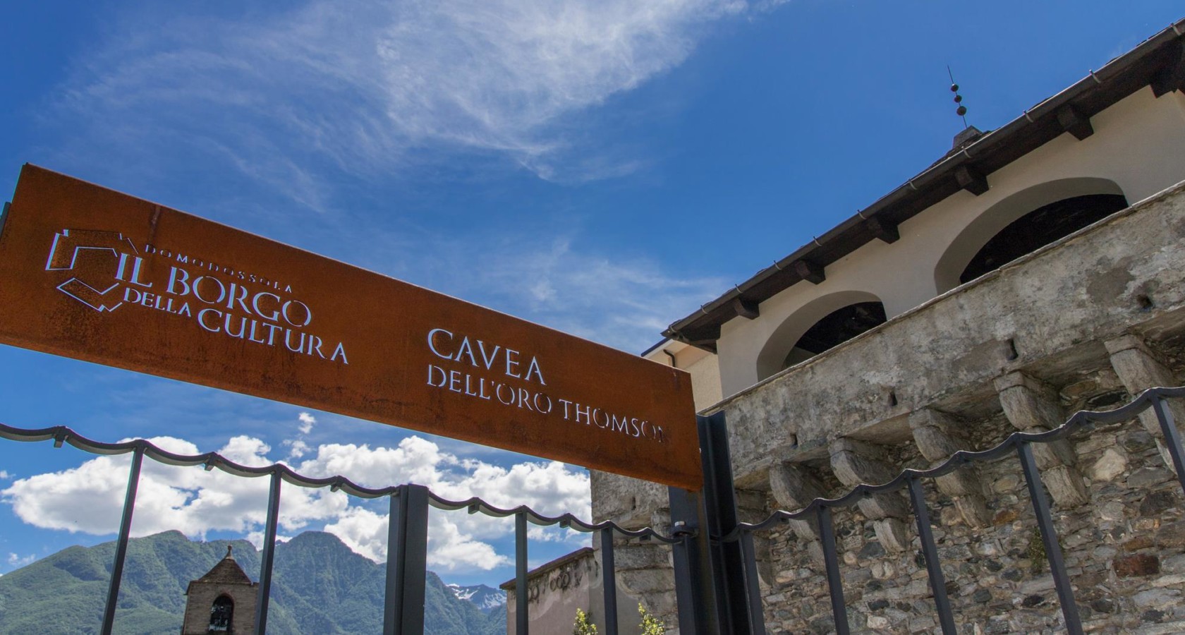
Il Borgo della Cultura di Domodossola
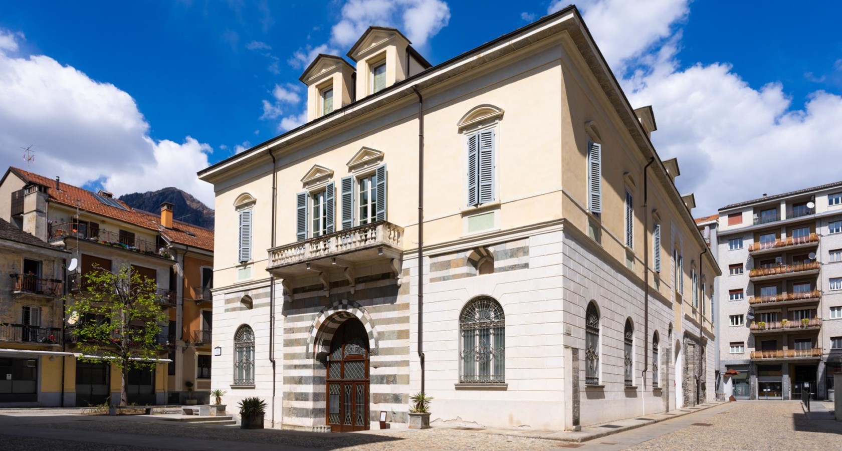
Domodossola's museum quarter, three palaces around the medieval market square.
Palazzo San Francesco
A deconsecrated Franciscan church in Domodossola, now the town's exhibition hall.
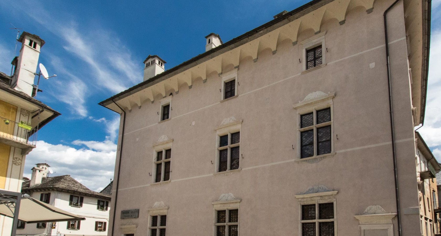
Palazzo Silva
A Renaissance merchant's palace in Domodossola, kept with its courtyard and collections.
Torretta Medievale e antiche mura di Domodossola
A surviving tower and stretch of wall from Domodossola's medieval defences.
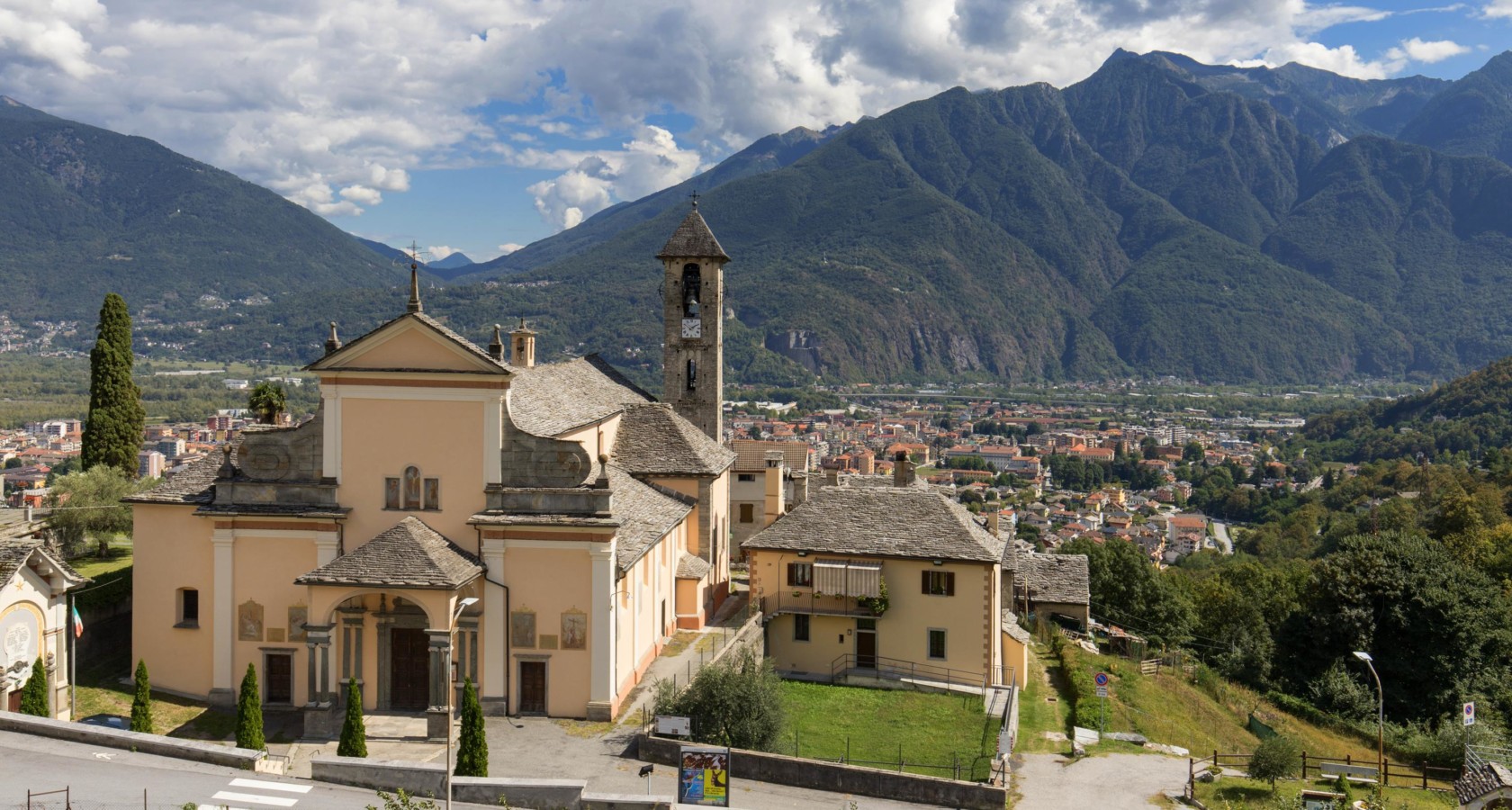
Chiesa di San Quirico di Domodossola
A church in the Domodossola comune, on the Toce valley floor.
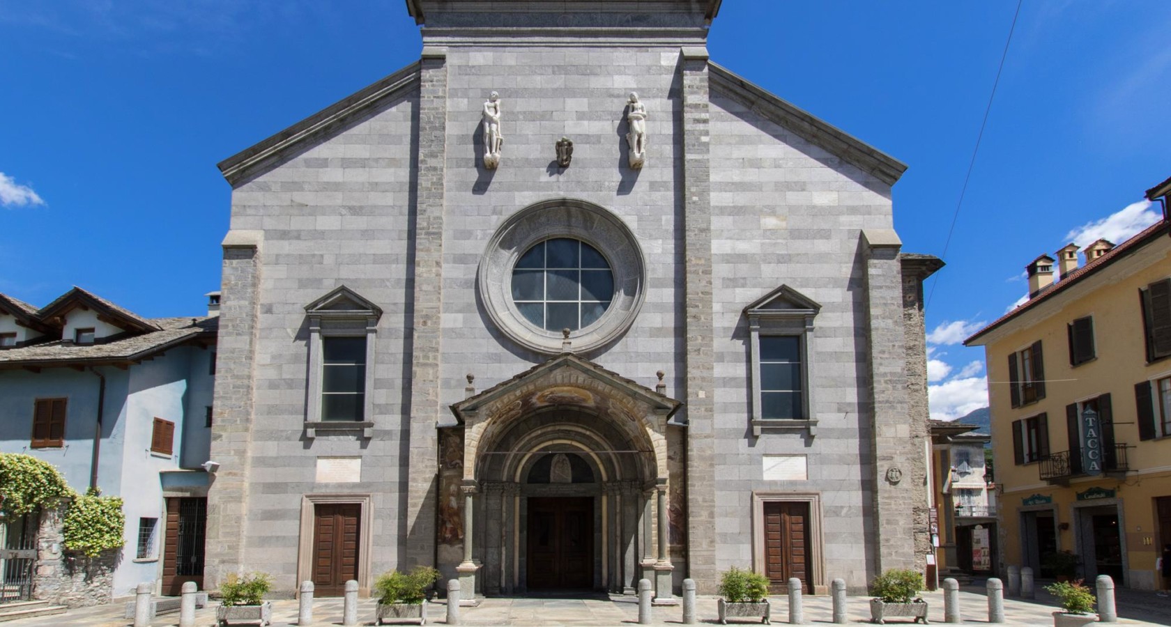
Collegiata SS. Gervaso e Protaso
Domodossola's collegiate church, on the arcaded square at the centre of the old town.
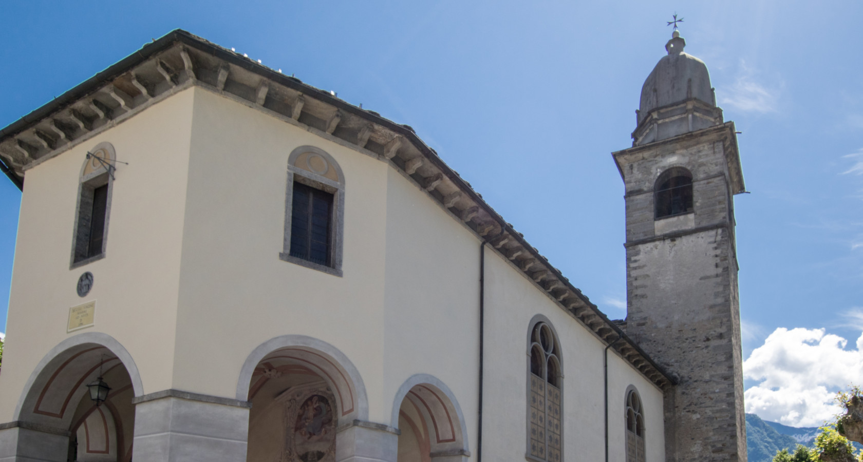
Santuario Madonna della Neve di Domodossola
A pilgrimage church in Domodossola, on the edge of the old town.
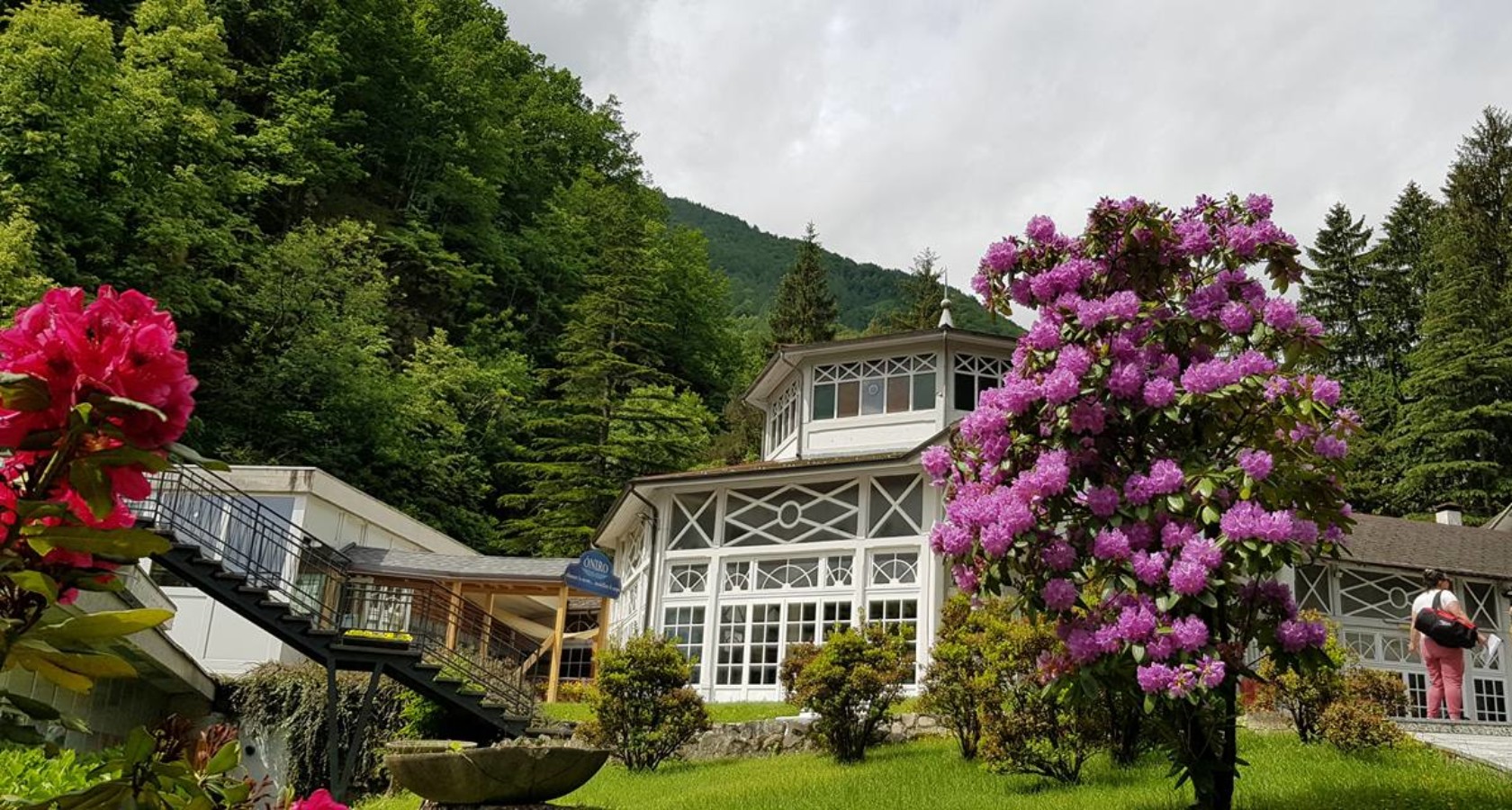
Óniro
2.8 km away, in Bognanco
A thermal centre at Bognanco with two mineral pools, a steam room and treatment rooms.
Terme di Bognanco
2.8 km away, in Bognanco
The spa of Bognanco, drawing on mineral springs used for a century and a half west of Domodossola.
Chiesa Parrocchiale di San Lorenzo a Bognanco
3.2 km away, in Bognanco
The parish church of San Lorenzo at Bognanco, consecrated in 1535 and reworked in the baroque.
 Historic site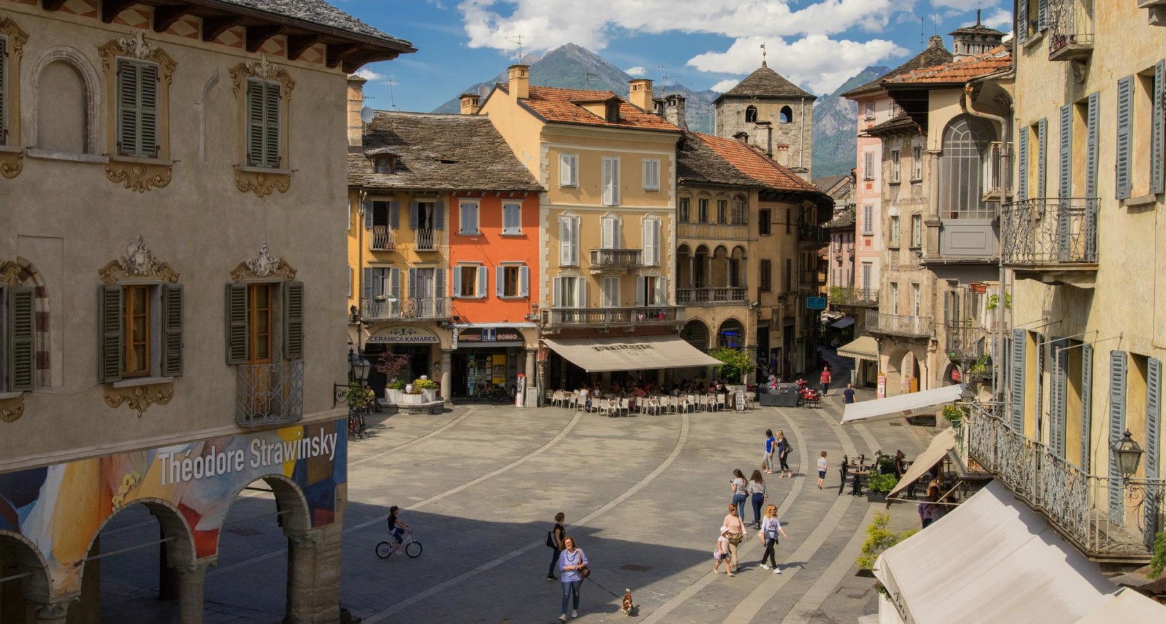

Nothing of this kind in Domodossola.
Routes
14 from neighbouring places
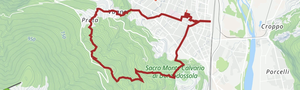
PERCORSO SLOW TREK
A slow-walking route on the hills above Domodossola, where the Ossola valleys meet.
- 7.9 km
- Distance
- 400 m
- Ascent
- 2 h 55 min
- Duration
- 3
- Check-ins
Trekking
A long climb from the Ossola floor above Domodossola into the hillside villages and pastures on the valley side.
- 14.9 km
- Distance
- 1 124 m
- Ascent
- 7 h 12 min
- Duration
- 4
- Check-ins
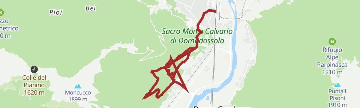
PERCORSO MTB: Domobianca 365/Moncucco
A climb from Domodossola to the rural hamlets and alps on the slopes of the town's own mountain, passing Alpe Lusentino and the Lago di Casalavera.
- 25.9 km
- Distance
- 1 568 m
- Ascent
- 4 h 6 min
- Duration
- 20
- Check-ins
 Lago di Casalavera 1 614 m
 Lusebar 1 089 m
- Scuola Sci Lusentino 1 086 m
- IAT 272 m
PERCORSO CICLABILE: Ciclovia del Toce/In bici tra i borghi
A flat valley cycle path from Domodossola down the Toce to Vogogna, following the railway through the villages of the Ossola.
- 19.9 km
- Distance
- 33 m
- Ascent
- 1 h 49 min
- Duration
- 3
- Check-ins
VIA STOCKALPER Tappa 4: Frazione Graniga
The fourth stage of the Via Stockalper, the old Simplon trade route, passing the hamlet of Graniga above the Bognanco valley.
- 14.1 km
- Distance
- 480 m
- Ascent
- 4 h 30 min
- Duration
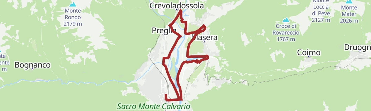
PERCORSO MTB: Ciclovia del Toce/In bici tra i fiumi
A flat ring around the Ossola plain from Domodossola, clockwise by Crevoladossola, Montecrestese and Trontano, crossing five rivers.
- 18.3 km
- Distance
- 74 m
- Ascent
- 1 h 42 min
- Duration
- 3
- Check-ins
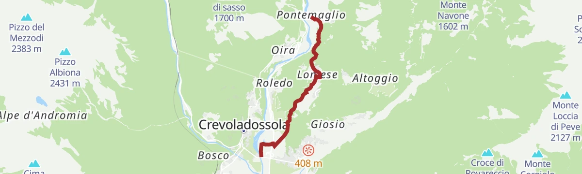
Via dello Sbrinz
5.8 km away, in Crevoladossola
A stretch of the old Sbrinz route through Crevoladossola, the mule road that carried Swiss cheese down into Italy.
- 4.9 km
- Distance
- 160 m
- Ascent
- 1 h 33 min
- Duration
PERCORSO CICLABILE: Vigezzo Bike Land
14.8 km away, in Druogno
A gentle valley route on the Vigezzo floor, running past Camping La Pineta and the Torrente Loana close to the Druogno station.
- 11.9 km
- Distance
- 133 m
- Ascent
- 1 h 14 min
- Duration
- 3
- Check-ins
CICLOTURISMO: Montecrestese e Valle Agarina
5.9 km away, in Crevoladossola
An easy road tour out of Crevoladossola through the lower Ossola valley, climbing very little across nearly forty kilometres.
- 38.5 km
- Distance
- 1 691 m
- Ascent
- 5 h 1 min
- Duration
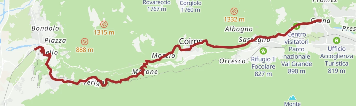
Via del Mercato: Tappa 1 Masera
6.5 km away, in Masera
A first stage climbing from Masera through Trontano and Verigo up to the visitor centre of the Val Grande national park.
- 15.7 km
- Distance
- 620 m
- Ascent
- 5 h 12 min
- Duration
MTB del Toce
5.8 km away, in Crevoladossola
A long climb up Val Formazza to Passo di San Giacomo at 2,313 m, passing Aalts Dorf, the Laghetto Valgeis and Rifugio Maria Luisa.
- 52.4 km
- Distance
- 2 313 m
- Ascent
- 6 h 50 min
- Duration
- 214
- Check-ins
CICLOTURISMO: Laghi della Valle Antrona. Cheggio, Antrona e Campliccioli
6.8 km away, in Villadossola
A road ride out of Villadossola into the Valle Antrona, climbing to the dammed lakes below Pizzo Andolla and the Rifugio Città di Novara at Cheggio.
- 37.2 km
- Distance
- 2 299 m
- Ascent
- 5 h 8 min
- Duration
- 4
- Check-ins
Via Antronesca Tappa 1: Villadossola
7.6 km away, in Villadossola
First stage of the Via Antronesca, the old trade road from Villadossola up towards the Antrona valley and the Swiss passes.
- 15.3 km
- Distance
- 936 m
- Ascent
- 5 h 17 min
- Duration
MTB del Toce Tappa 1: Montecrestese
5.8 km away, in Crevoladossola
A stage ride climbing off the Ossola valley floor past the Cappella di Arzalovo to viewpoints above the Orrido di Balmasurda.
- 17.7 km
- Distance
- 780 m
- Ascent
- 2 h 18 min
- Duration
- 6
- Check-ins
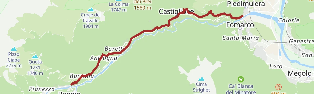
Stra' Granda Tappa 1: Piedimulera
12.1 km away, in Piedimulera
The first stage of a long route up the Valle Anzasca from Piedimulera, a hard day of climbing into the hills above Calasca-Castiglione.
- 12.1 km
- Distance
- 2 868 m
- Ascent
- 15 h 43 min
- Duration
Mountain bike
5.9 km away, in Crevoladossola
A steep Val Formazza ride from Sottofrua up to Passo di San Giacomo, with Rifugio Maria Luisa and the Laghetto Valgeis near the top.
- 53.0 km
- Distance
- 2 250 m
- Ascent
- 6 h 7 min
- Duration
- 199
- Check-ins
Via Antronesca Tappa 2: Antronapiana
12.4 km away, in Antrona Schieranco
A long climbing stage of the Via Antronesca into Antronapiana, the main village of the Valle Antrona.
- 12.5 km
- Distance
- 1 425 m
- Ascent
- 8 h 34 min
- Duration
- 4
- Check-ins
PERCORSO MTB: Alpeggi di Varzo
8.4 km away, in Varzo
A loop above Varzo on a mix of surfaced and gravel service roads, climbing through the Veglia-Devero park country to the Rifugio Pietro Crosta.
- 54.9 km
- Distance
- 2 692 m
- Ascent
- 7 h 30 min
- Duration
- 9
- Check-ins
Via Geoalpina: Tappa 7 Vogogna
14.2 km away, in Vogogna
A long stage out of Vogogna climbing to the Colle dell'Usciolo, with the Lago di Ravinella and the Bivacco Pian del Lago along the way.
- 19.6 km
- Distance
- 1 740 m
- Ascent
- 10 h 58 min
- Duration
- 3
- Check-ins
- Bivacco Pian del Lago 1 743 m
- Lago di Ravinella 1 970 m
 Colle dell'Usciolo 2 037 m
PERCORSO MTB: Arvenolo e il Muro del Diavolo
12.4 km away, in Crodo
A ring route from Crodo on low-traffic asphalt and gravel tracks, passing the Rifugio Monte Zeus and a megalithic dry-stone complex.
- 19.9 km
- Distance
- 604 m
- Ascent
- 2 h 20 min
- Duration
- 15
- Check-ins








No routes of this kind in Domodossola yet.
Planning a trip to Domodossola?
Everything else Piedmont has, in one place


Take Domodossola with you into the mountains
Every route on this page with 3D terrain, GPX navigation and offline maps — including the valleys with no signal.
Data sources
- Official website: visitossola.it ↗
- Routes and highlights: Visit Ossola, Distretto dei Laghi, Piemonte Outdoor, Visitbaceno
- Published as open data by the tourist boards named above.
- Region summary generated from the board's own material.
