
Curated by Visit Ossola
Craveggia
Val Vigezzo village of stone chimneys and painted houses, with a baroque parish church above the valley floor.
- 4Highlights
- 2Routes
Highlights
11 from neighbouring places
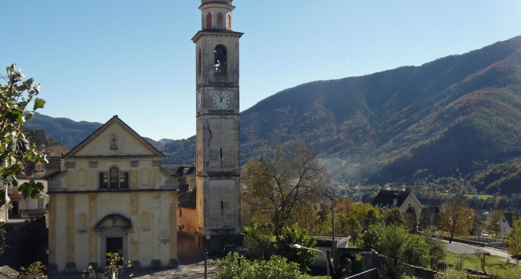
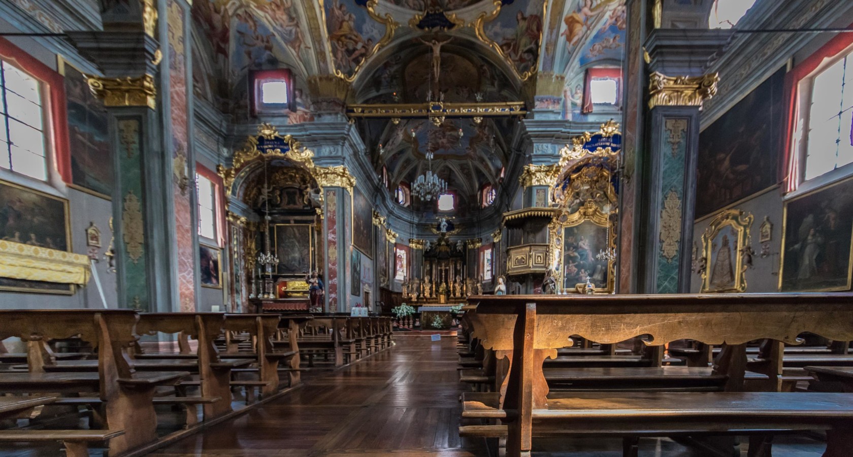
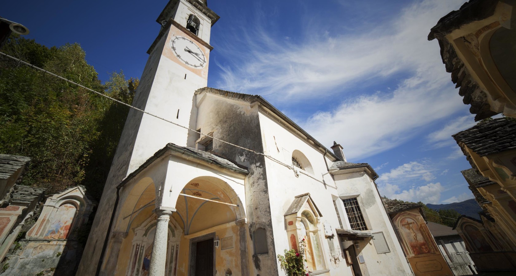
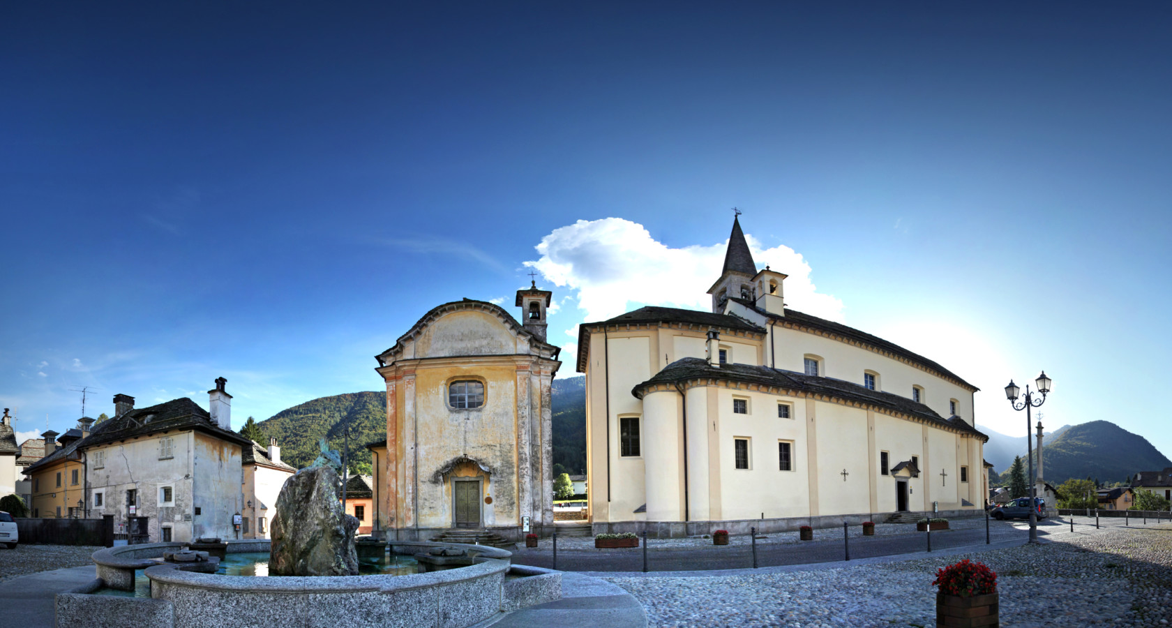
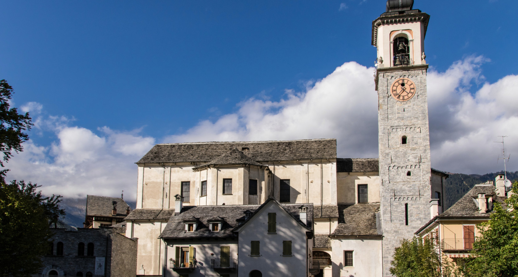
Chiesa Parrocchiale dei SS. Giacomo e Cristoforo
Craveggia's parish church, at the centre of the Val Vigezzo village.
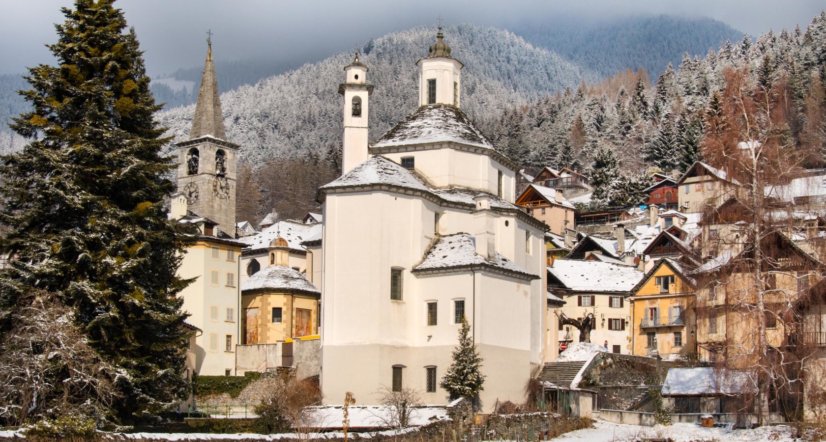
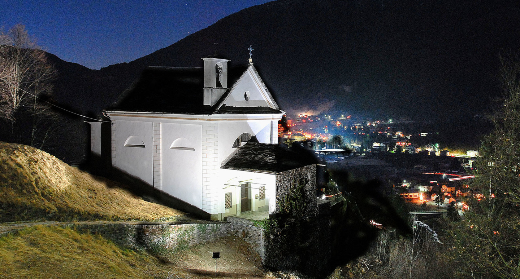
Chiesa di Santa Caterina di Craveggia
A church at Craveggia, among the stone chimneys the village is known for.
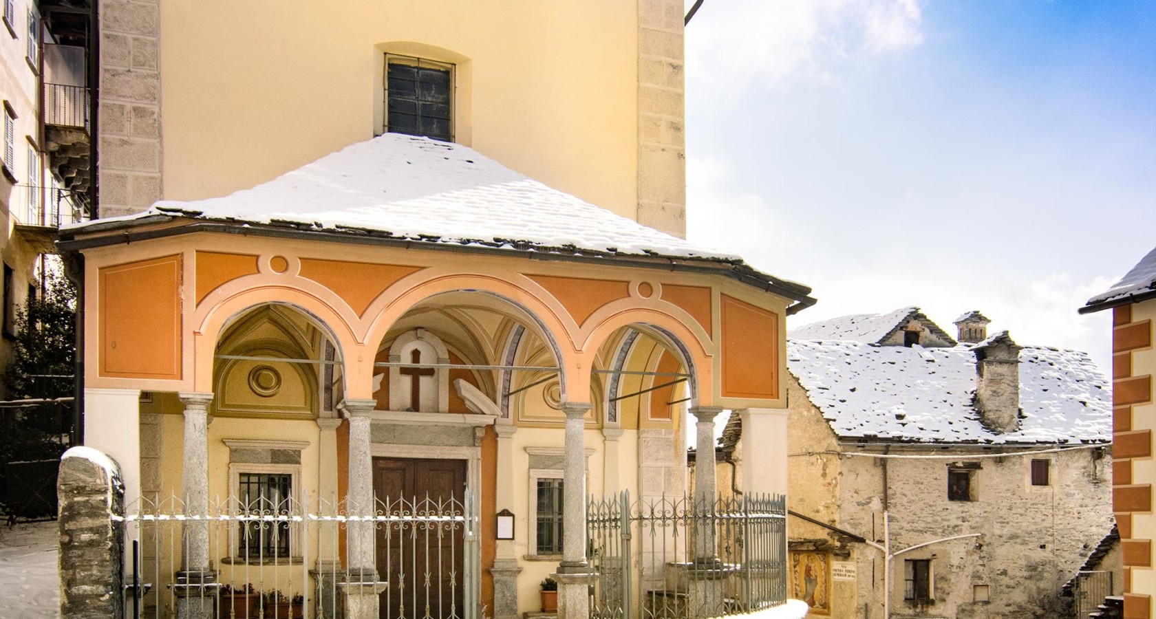
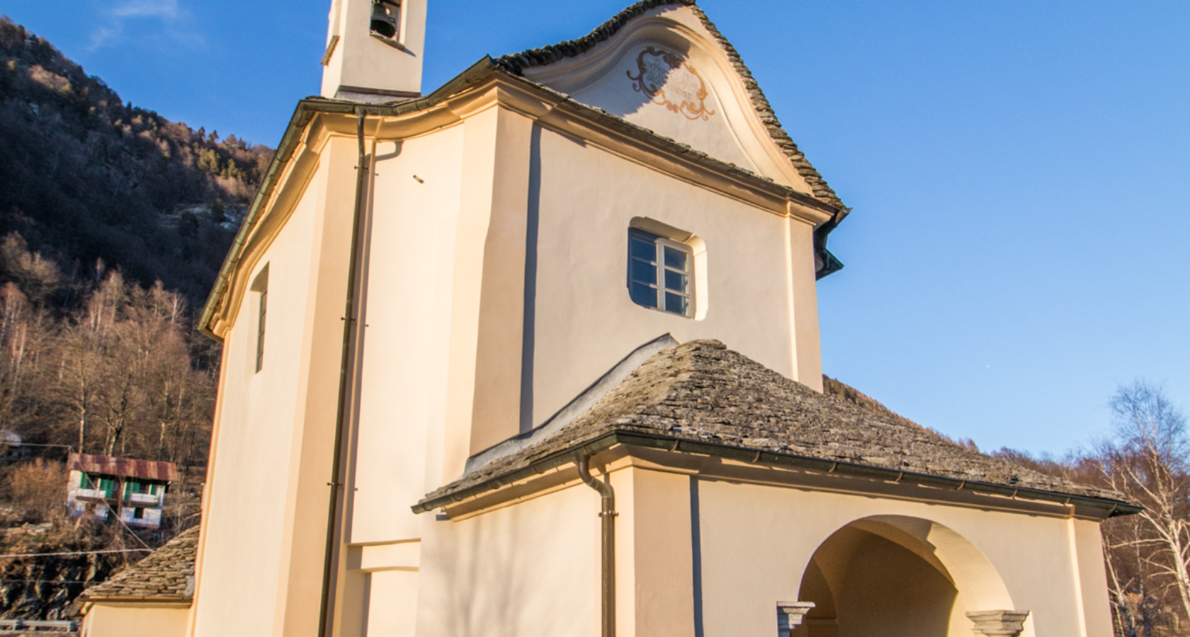
Oratorio di Sant’Antonio Abate e da Padova
An oratory at Craveggia, painted inside, in the Val Vigezzo.
Oratorio della Madonna del Piaggio
4.9 km away, in Malesco
A small oratory on the slope above Malesco.
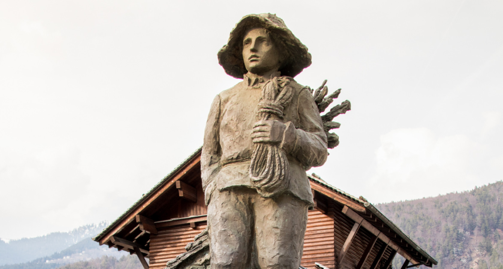
Monumento allo Spazzacamino
5.7 km away, in Malesco
A monument at Malesco to the chimney sweeps the Val Vigezzo sent across Europe.
Ökomuseum ed leuzerie e di scherpelit
5.7 km away, in Malesco
A Malesco ecomuseum on the quarrymen and slate-splitters who roofed the Val Vigezzo.
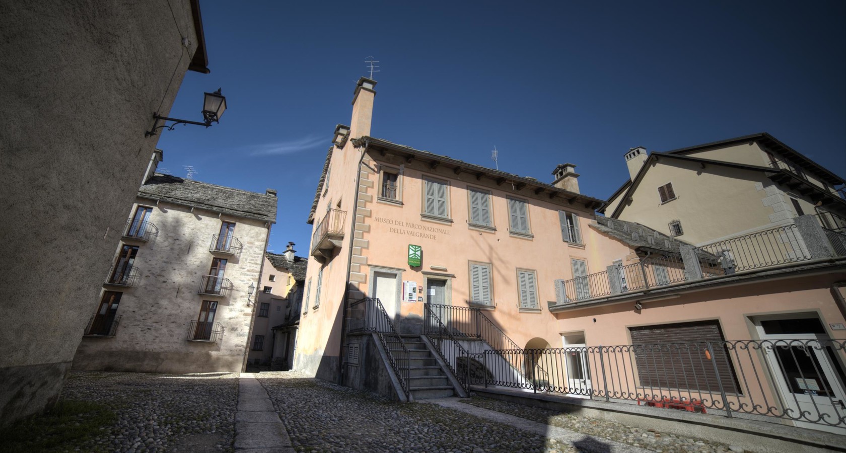
Archäologische Museum des Nationalparks Val Grande
5.7 km away, in Malesco
The Val Grande park's archaeological museum at Malesco, on settlement in Italy's largest wilderness.
Complesso monumentale Piazza della Chiesa di Malesco
5.8 km away, in Malesco
Malesco's church square, its stone buildings grouped around the parish church.
Chiesa Parrocchiale di Santa Maria Assunta
6.1 km away, in Santa Maria Maggiore
The parish church of Santa Maria Maggiore, at the centre of the Val Vigezzo.
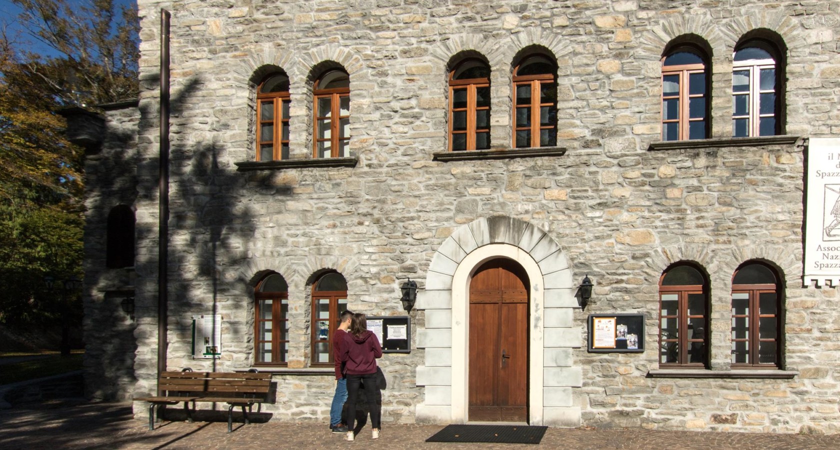
Museo dello Spazzacamino
6.1 km away, in Santa Maria Maggiore
A museum at Santa Maria Maggiore on the child chimney sweeps the Val Vigezzo sent abroad.
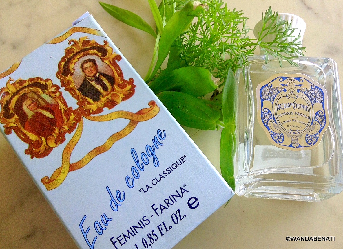
Casa del Profumo Femminis Farina
6.2 km away, in Santa Maria Maggiore
A museum at Santa Maria Maggiore to the Vigezzo emigrant whose Cologne shop gave the world eau de Cologne.
 Historic site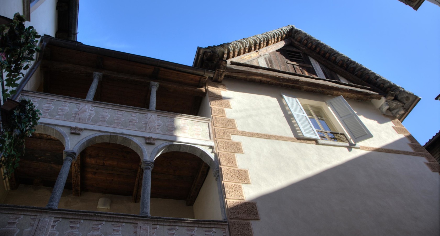
Nothing of this kind in Craveggia.
Routes
10 from neighbouring places
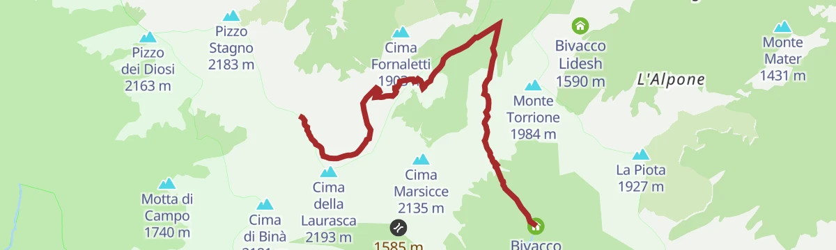
PERCORSO SLOW TREK
A short slow-walking route on the slopes above Craveggia in the Vigezzo valley.
- 2.7 km
- Distance
- 220 m
- Ascent
- 1 h 25 min
- Duration
- 4
- Check-ins
 Bivacco Emilio Greppi 1 915 m
 Laghetto di Muino inferiore 1 887 m
 Bocchetta di Muino 1 977 m
Trekking
A short climb above Craveggia in the Val Vigezzo, on paths through the woods behind the village.
- 3.9 km
- Distance
- 334 m
- Ascent
- 1 h 45 min
- Duration
- 4
- Check-ins
- Bivacco Emilio Greppi 1 915 m
- Laghetto di Muino inferiore 1 887 m
- Bocchetta di Muino 1 977 m
- Laghetto di Muino superiore 1 959 m
Via Borromea
5.6 km away, in Re
A long-distance walk from the lakeshore at Cannobio, passing the Orrido di Sant'Anna and climbing steadily inland as far as Re.
- 25.2 km
- Distance
- 675 m
- Ascent
- 7 h 34 min
- Duration
- 1
- Check-ins
VIA BORROMEA Tappa 1: Re
5.6 km away, in Re
The opening stage of a waymarked pilgrim route in the Piemonte pre-Alps, a steady half-day of walking out of the village.
- 9.2 km
- Distance
- 345 m
- Ascent
- 2 h 60 min
- Duration
PERCORSO CICLABILE: Vigezzo Bike Land
8.2 km away, in Druogno
A gentle valley route on the Vigezzo floor, running past Camping La Pineta and the Torrente Loana close to the Druogno station.
- 11.9 km
- Distance
- 133 m
- Ascent
- 1 h 14 min
- Duration
- 3
- Check-ins
VIA DEL MERCATO Tappa 2: Santa Maria Maggiore
5.9 km away, in Santa Maria Maggiore
The second stage of the Via del Mercato, crossing the Val Vigezzo by way of Santa Maria Maggiore.
- 17.3 km
- Distance
- 430 m
- Ascent
- 5 h 6 min
- Duration
Via Geoalpina: Tappa 5 Alpe Scaredi
12.9 km away, in Malesco
A stage of the Via Geoalpina from the Vigezzo valley up to the Alpe Scaredi, on the northern edge of the Val Grande.
- 12.1 km
- Distance
- 768 m
- Ascent
- 5 h 14 min
- Duration
- 18
- Check-ins
Via Geoalpina: Tappa 1 Cursolo
9.6 km away, in Valle Cannobina
A long opening stage in the Valle Cannobina over Monte Barro, linking the Rifugio Monte Vecchio with the Rifugio del Pian Vadà.
- 19.5 km
- Distance
- 1 630 m
- Ascent
- 10 h 24 min
- Duration
- 10
- Check-ins
Circuito di San Carlo Tappa 2a: Falmenta-Cursolo
12.8 km away, in Valle Cannobina
A steep connecting leg between two villages of the Valle Cannobina, with 700 m of climbing on the slopes opposite Crealla.
- 6.3 km
- Distance
- 0 m
- Ascent
- 1 h 28 min
- Duration
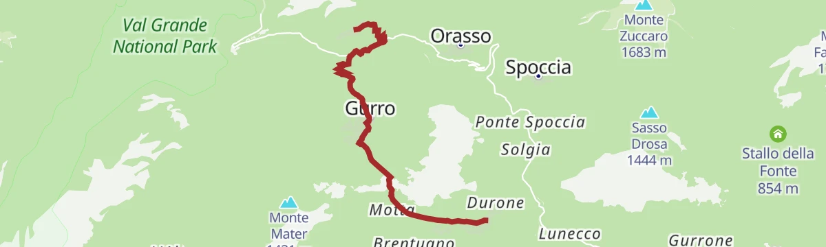
VIA BORROMEA Tappa 2: Orasso
10.5 km away, in Valle Cannobina
A stage climbing inland from Cannobio past the gorge at the Orrido di Sant'Anna, heading up the valley towards Orasso.
- 16.0 km
- Distance
- 330 m
- Ascent
- 4 h 34 min
- Duration
- 1
- Check-ins
Circuito di San Carlo Tappa 2: Falmenta
12.8 km away, in Valle Cannobina
A demanding stage in the steep-sided Valle Cannobina, gaining a thousand metres between hamlets and passing a viewpoint over Crealla.
- 11.9 km
- Distance
- 0 m
- Ascent
- 2 h 46 min
- Duration
Via Geoalpina: Tappa 4 Alpe Pian di Boit
13.9 km away, in Miazzina
A steep stage of the Via Geoalpina above Miazzina, climbing to the Alpe Pian di Boit on the edge of the Val Grande.
- 9.6 km
- Distance
- 1 642 m
- Ascent
- 9 h 18 min
- Duration
- 21
- Check-ins






No routes of this kind in Craveggia yet.
Planning a trip to Craveggia?
Everything else Piedmont has, in one place


Take Craveggia with you into the mountains
Every route on this page with 3D terrain, GPX navigation and offline maps — including the valleys with no signal.
Data sources
- Official website: visitossola.it ↗
- Routes and highlights: Visit Ossola, Piemonte Outdoor, Distretto dei Laghi, Bookingpiemonte
- Published as open data by the tourist boards named above.
- Region summary generated from the board's own material.
