
 Historic site

















Curated by Garda Trentino
Comano Terme
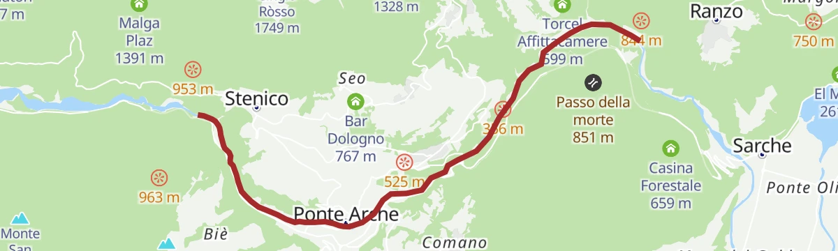
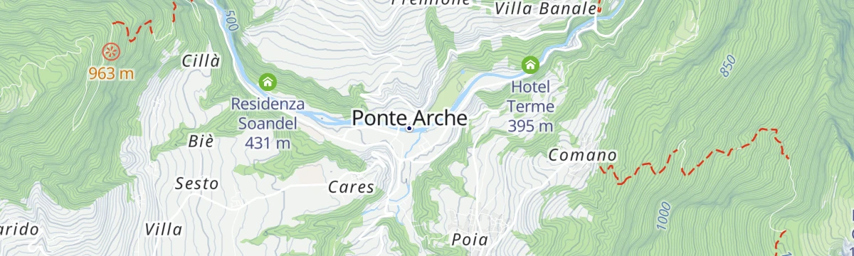
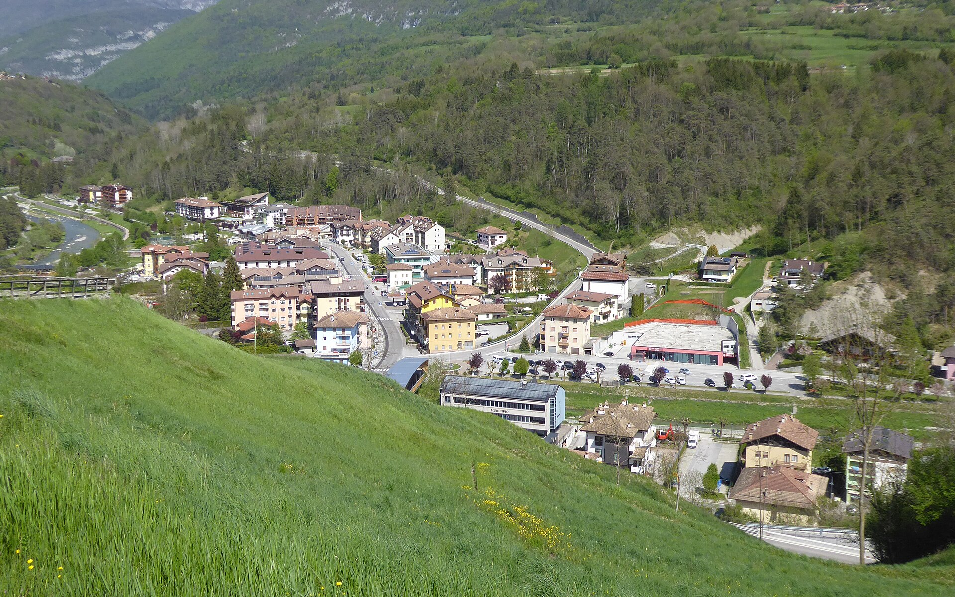
Giudicarie spa comune formed from Bleggio and Lomaso, with thermal springs and the Valon hut for stargazing.
Photo: Syrio · CC BY-SA 4.0 licence
- 2Highlights
- 58Routes
- Featured summit · Monte Casale
Highlights
6 from neighbouring places
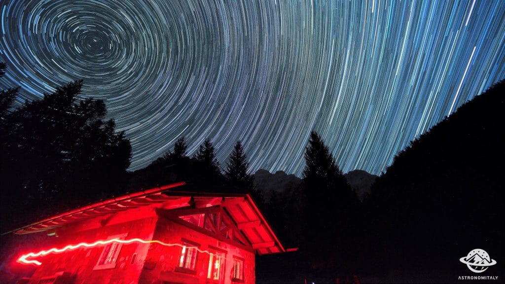
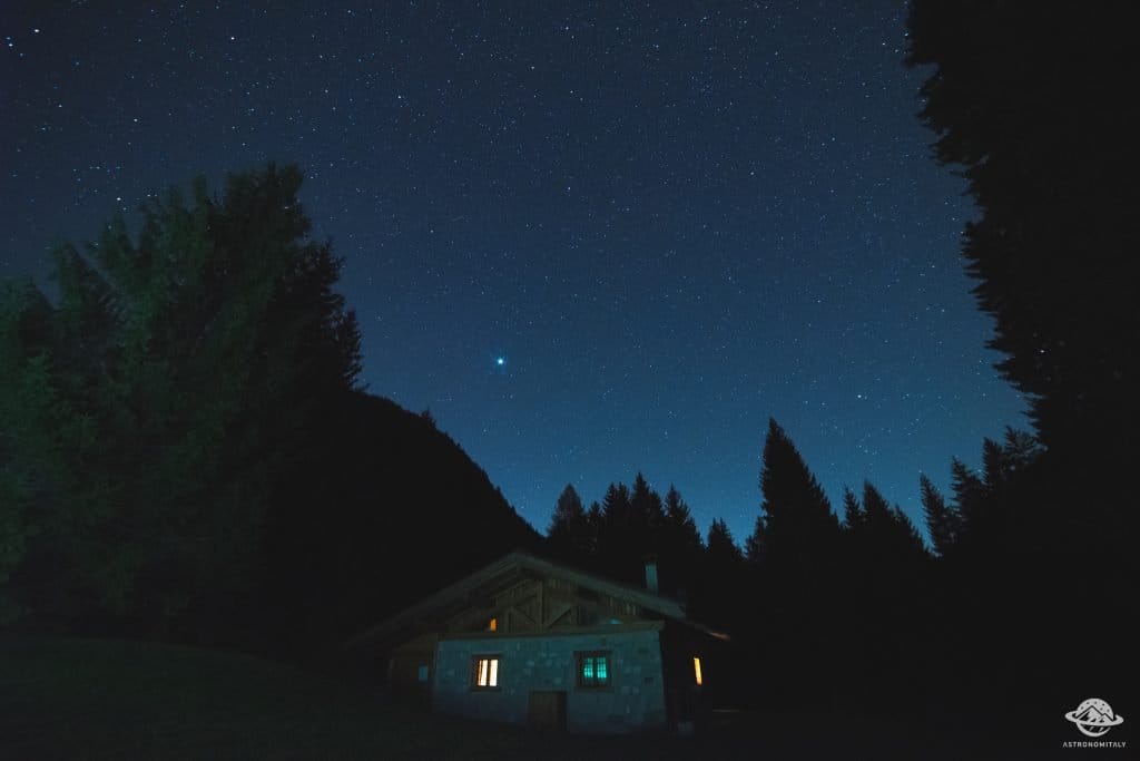
Baita Valon
A hut on the Valon meadows above Comano, used for walks and for its dark night skies.
Stargazing a Baita Valon, Trentino
Night-sky watching from the Valon meadows above Comano Terme, away from valley lights.
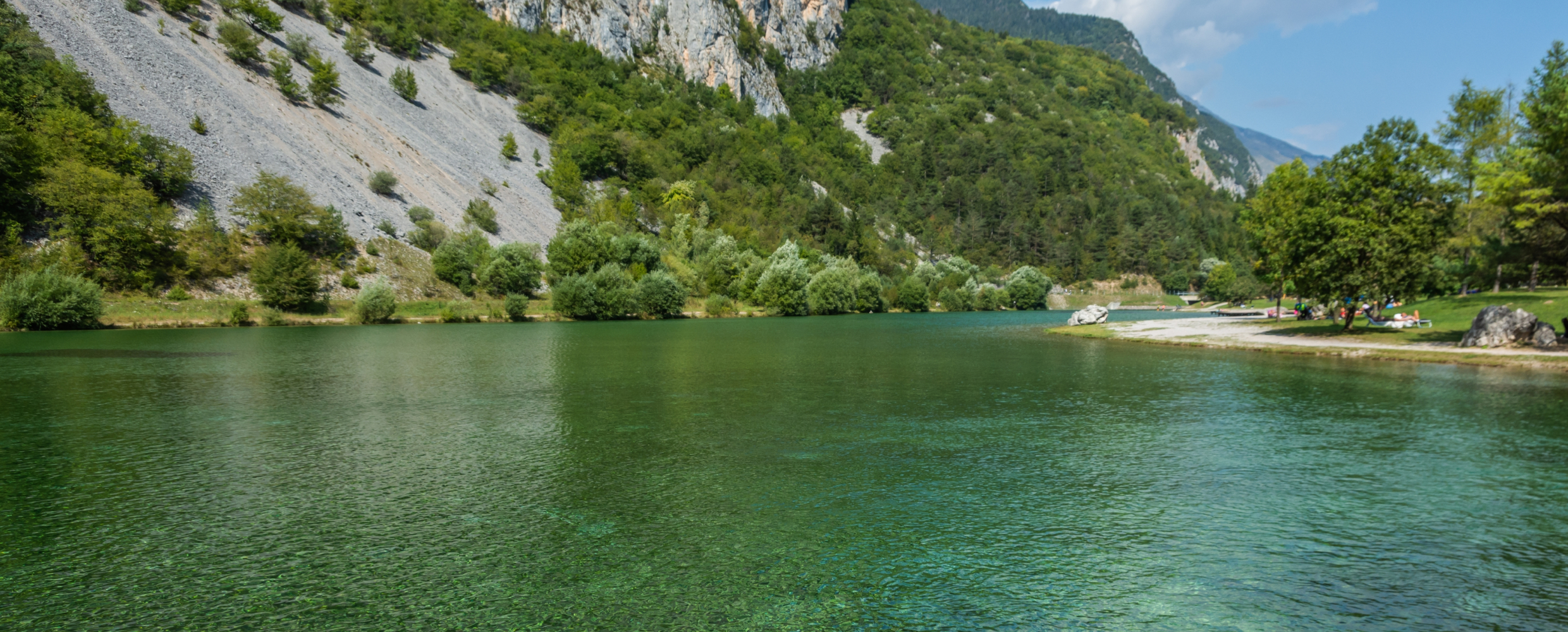
Lago di Nembia
10.3 km away, in San Lorenzo Dorsino
A small lake in the Sarca gorges near San Lorenzo Dorsino, on the edge of the Adamello-Brenta park.
Lago di Cei
12.3 km away, in Villa Lagarina
A small lake in woods on the terrace above Villa Lagarina, with a peat bog at one end.
Die Burg von Castellano
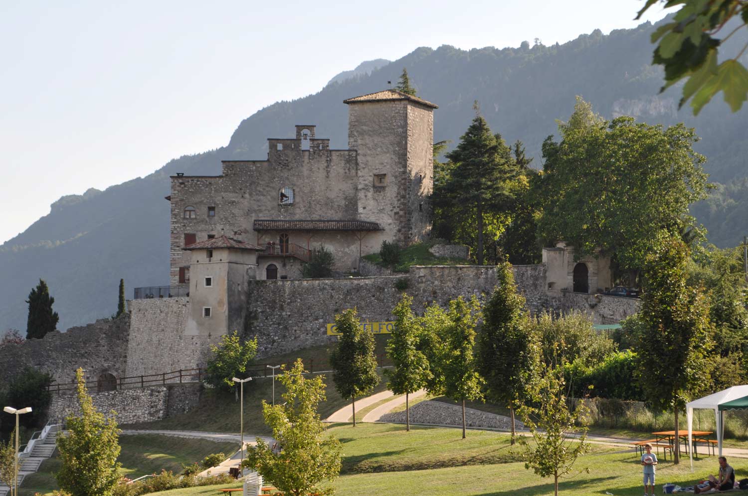
13.5 km away, in Villa Lagarina
Castel Castellano above Villa Lagarina, a Vallagarina castle on its rock spur.
Azienda Agricola Feudo Castel Bazom
13.5 km away, in Villa Lagarina
A wine estate below Castel Bazom at Villa Lagarina, on the Vallagarina terraces.
Lago di Molveno
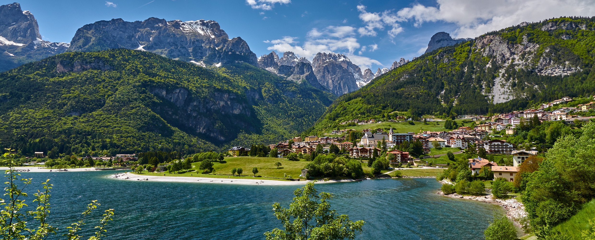
13.6 km away, in Molveno
A lake at 864 m below the Brenta Dolomites, its water among the clearest in the Alps.
Nothing of this kind in Comano Terme.
Routes
50 routes, an even mix of activities · see the rest on gardatrentino.it ↗
Via Ferrata Ettore Castiglioni, Brenta Dolomites
A vertical two-hundred-metre cabled line up Cima Susat below the Bocchetta dei Due Denti, opened in 1946 on ground Castiglioni first climbed.
- 3.0 km
- Distance
- 411 m
- Ascent
- 2 h 47 min
- Duration
- 65
- Check-ins
 Rifugio XII Apostoli 2 489 m
- Rifugio Val d'Ambiez - Silvio Agostini 2 410 m
 Bocchetta dei Due Denti 2 859 m
Open route APT Madonna di Campiglio, Pinzolo, Val RendenaVia Ferrata Che Guevara - Monte Casale
A long protected route up 1,200 m of the concave south face of Monte Casale, one of the biggest walls of the Prealps above the Sarca.
- 13.9 km
- Distance
- 1 661 m
- Ascent
- 12 h 27 min
- Duration
- 24
- Check-ins
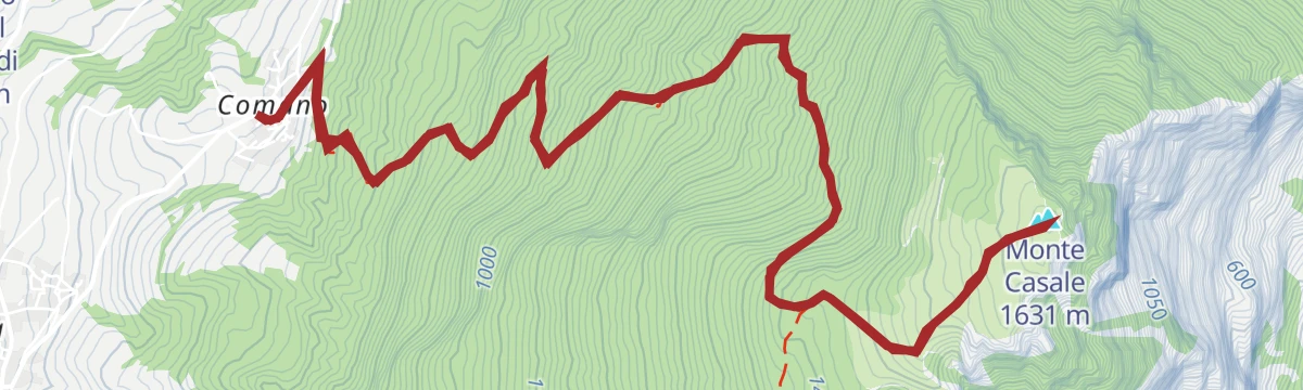
Open route Garda TrentinoMonte Casale da Comano
A short ascent on dirt road from the Le Quadre car park, which needs a day permit bought at the Albergo Panorama, to the top of Monte Casale.
- 2.5 km
- Distance
- 164 m
- Ascent
- 1 h 6 min
- Duration
- 21
- Check-ins
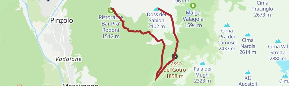
Open route Garda TrentinoDoss del Sabion - Malga Movlina - Pra Rodont
A route from the top of Doss del Sabion along the ridge on winter ski runs and forest roads to the Madonnina chapel, the Gotro pass and Malga Movlina.
- 7.1 km
- Distance
- 80 m
- Ascent
- 2 h 24 min
- Duration
- 141
- Check-ins
 Doss del Sabion 2 102 m
- Doss del Sabion 2 103 m
- Ristorante Bar Pra' Rodont 1 512 m
- Malga Movlina 1 782 m
- Passo Bregn de l'Ors 1 836 m
- Rifugio La Pace 1 853 m
- +2
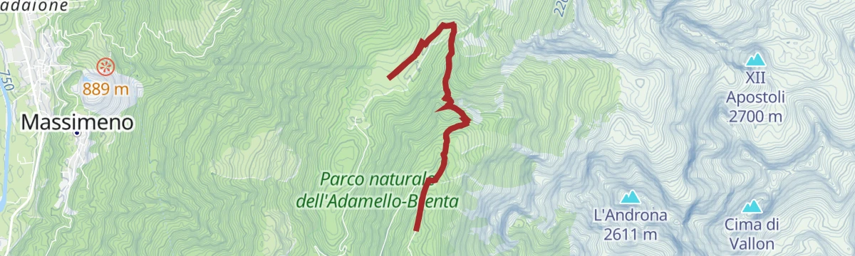
Open route APT Madonna di Campiglio, Pinzolo, Val RendenaMalga Movlina Trail n°974
A long, little-used route towards Malga Movlina, held between the Brenta massif and the Adamello-Presanella group.
- 20.3 km
- Distance
- 235 m
- Ascent
- 6 h 32 min
- Duration
- 120
- Check-ins
- Doss del Sabion 2 102 m
- Doss del Sabion 2 103 m
- Malga Movlina 1 782 m
- Passo Bregn de l'Ors 1 836 m
- Rifugio La Pace 1 853 m
- Passo del Gotro 1 858 m
- +1
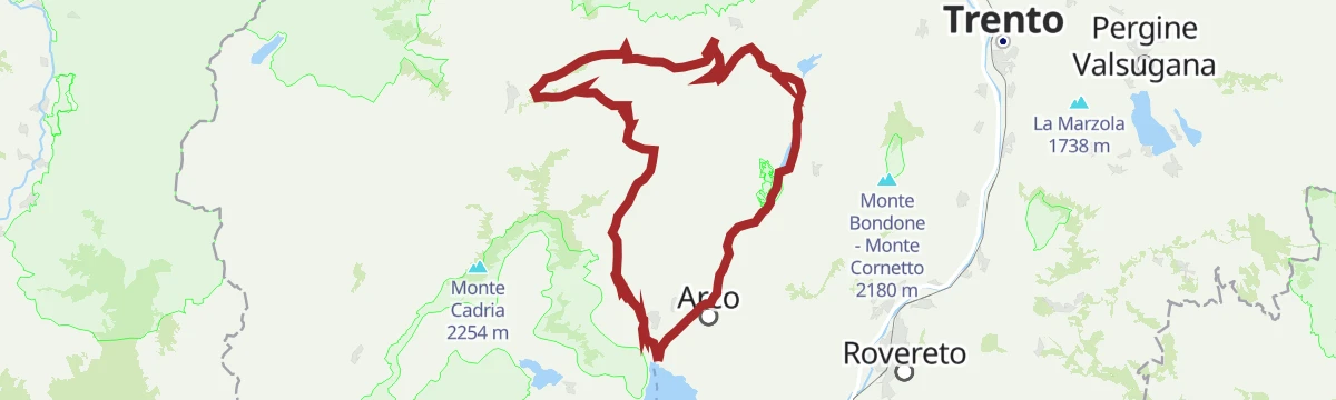
Open route APT Madonna di Campiglio, Pinzolo, Val RendenaGarda Dolomiti Tour
A long route from Arco into the Garda Dolomites, easier than its length suggests, by the Capanna Alpini.
- 66.6 km
- Distance
- 1 195 m
- Ascent
- 7 h 2 min
- Duration
- 112
- Check-ins
- Capanna Alpini 100 m
- Garda Dolomiti Azienda per il turismo S.p.A. 69 m
- Casa Bastiani 853 m
- Info Point Riva del Garda 69 m
- Agritur Maso Lizzone 126 m
- Malga Lomasone 539 m
- +3
Open route Garda TrentinoLimarò Cycle Path
A short path through the Limarò gorge, with a stretch of road to reach Sarche and Ponte Arche.
- 6.0 km
- Distance
- 228 m
- Ascent
- 43 min
- Duration
- 3
- Check-ins
Open route Garda TrentinoPasso Durone
A steady road climb out of the Comano Terme basin to the 1,010 m pass, where a bar and restaurant stand at the top.
- 10.2 km
- Distance
- 602 m
- Ascent
- 1 h 15 min
- Duration
- 9
- Check-ins
Open route VisitTrentinoDolomiti-Garda Alpine Cycling / Male - Riva del Garda
The full Dolomiti-Garda route through four Trentino valleys, from the Adamello Brenta park down to Lake Garda.
- 109.5 km
- Distance
- 3 039 m
- Ascent
- 12 h 49 min
- Duration
- 230
- Check-ins
- Falesia Fontanella 1 384 m
- Fortini 1 629 m
- LAB Après-Ski 1 632 m
 Laghetto Conca Verde 1 496 m
- La Cantina di Suisse 1 506 m
- Condominio Villa Golf 1 646 m
- +24
Open route APT Madonna di Campiglio, Pinzolo, Val RendenaRifugio Ghedina – Malga Nambi Walk
An easy walk in the Val d'Algone between the Ghedina hut and the open pastures at Malga Nambi.
- 5.2 km
- Distance
- 236 m
- Ascent
- 1 h 47 min
- Duration
- 21
- Check-ins
Open route APT Madonna di Campiglio, Pinzolo, Val RendenaTrek to Rifugio XII Apostoli
A climb to the XII Apostoli hut, set on a dolomite spur above the basin under the Pratofiorito and Agola glaciers, at the western gate of the Brenta.
- 12.0 km
- Distance
- 841 m
- Ascent
- 5 h 36 min
- Duration
- 71
- Check-ins
Open route APT Madonna di Campiglio, Pinzolo, Val RendenaMalga Movlina and Rifugio XII Apostoli
A circuit from Malga Movlina over the Groto and Bregn dal'Ors passes and the Scalasanta to the XII Apostoli hut, returning to the pasture.
- 11.4 km
- Distance
- 934 m
- Ascent
- 5 h 59 min
- Duration
- 83
- Check-ins
- Rifugio XII Apostoli 2 489 m
- Malga Movlina 1 782 m
- Passo XII Apostoli 2 584 m
- Rifugio La Pace 1 853 m
- Passo del Gotro 1 858 m
Open route Garda TrentinoRoad bike tour of Campiglio and Comano
A long road day from Pinzolo down the Sarca to Comano Terme, then back over Passo Durone and the steeper Passo Daone above Preore.
- 106.9 km
- Distance
- 3 187 m
- Ascent
- 12 h 30 min
- Duration
- 205
- Check-ins
- Falesia Fontanella 1 384 m
- Fortini 1 629 m
- LAB Après-Ski 1 632 m
- Laghetto Conca Verde 1 496 m
- Passo Campo Carlo Magno 1 682 m
- La Cantina di Suisse 1 506 m
- +18
Open route APT Madonna di Campiglio, Pinzolo, Val RendenaFiume Sarca Ponte Arche NK0
A level riverside stretch of the Sarca at Ponte Arche, on the valley floor of the Giudicarie below Stenico.
- 720 m
- Distance
- 14 m
- Ascent
- 11 min
- Duration
- 12
- Check-ins
Open route Trentino FishingFrom Malga Movlina to Rifugio XII Apostoli via Val di Sacco
A quieter approach to the XII Apostoli hut from Malga Movlina through the Val di Sacco, a rocky and little-used side valley of the southern Brenta.
- 5.6 km
- Distance
- 871 m
- Ascent
- 3 h 37 min
- Duration
- 62
- Check-ins
Open route APT Madonna di Campiglio, Pinzolo, Val RendenaSentiero Frassati - Leg 2
The second leg of the Trentino Frassati path, running from the Rifugio San Pietro below Biaina and Misone across the Lomaso and Bleggio farmland to Villa Banale.
- 23.3 km
- Distance
- 791 m
- Ascent
- 7 h 49 min
- Duration
- 40
- Check-ins
- Monte San Pietro 1 067 m
- Rifugio San Pietro 976 m
- Malga Vigo 1 087 m
- Baita Ida 927 m
- Pipol Home 935 m
- la me baita 589 m
Open route Garda TrentinoComano Gravel Tour
A long gravel run from the Garda shore to the edge of the Brenta Dolomites, through the Limarò gorge and over the Passo del Ballino to Comano.
- 68.7 km
- Distance
- 1 182 m
- Ascent
- 7 h 13 min
- Duration
- 187
- Check-ins
- Dos dele Strie 401 m
- Capanna Alpini 100 m
- Bike Farm Linfano 74 m
- Agritur Maso Lizzone 126 m
- Centrale di Fies 191 m
- Ingarda 603 m
- +5
Open route Garda TrentinoMonte San Martino in Lomaso (from S. Giovanni)
A near-level forest road running from San Giovanni up by Malga Vigo to the walled medieval village site of San Martino, facing the Brenta Dolomites.
- 6.5 km
- Distance
- 221 m
- Ascent
- 2 h 4 min
- Duration
- 11
- Check-ins
Open route Garda TrentinoVal d'Algone - La Via delle Valli
A climb through the Val d'Algone to Malga Movlina, a grass terrace facing the Adamello-Presanella range and the Brenta, best in the last light.
- 5.9 km
- Distance
- 448 m
- Ascent
- 2 h 55 min
- Duration
- 23
- Check-ins
Open route APT Madonna di Campiglio, Pinzolo, Val RendenaMonte Misone
A long tour from Fiavè over the Ballino pass and above Lake Tenno, then along the warm southern side of Monte Misone on forest tracks.
- 25.5 km
- Distance
- 593 m
- Ascent
- 7 h 27 min
- Duration
- 23
- Check-ins
- Casa Bastiani 853 m
- Sella di Calino 966 m
- Malga Lomasone 539 m
- Passo Del Ballino 750 m
- Residence Paradiso Parolari 803 m
Open route Garda TrentinoThe stage of 2022 Giro d'Italia Women.
A race-length road route from the Rotaliana plain to San Lorenzo Dorsino, with three long climbs by way of Andalo, Molveno and Passo Santel.
- 113.6 km
- Distance
- 3 474 m
- Ascent
- 13 h 10 min
- Duration
- 137
- Check-ins
- Fontanella 845 m
- Lago Park Hotel 826 m
- Grand Hotel Molveno 838 m
- Tre3 1 037 m
- Albergo El Paso 1 036 m
- Passo Santel 1 040 m
- +20
Open route APT Dolomiti di Brenta e PaganellaDivieto Biotopo Lomasona
A short level walk at the Lomasona biotope, a reed-fringed wetland on the Lomaso plateau near Comano.
- 1.2 km
- Distance
- 0 m
- Ascent
- 17 min
- Duration
- 3
- Check-ins
The summit of Monte Brento
An ascent of Monte Brento above the Sarca valley by its wooded and pastured back side, with a few exposed steps and the haymakers' meadow on the way.
- 11.1 km
- Distance
- 500 m
- Ascent
- 3 h 50 min
- Duration
- 19
- Check-ins
- Monte Brento 1 545 m
- Malga San Giovanni al Monte 1 056 m
- Baita Cargoni 1 185 m
- Malga Val Bona 1 270 m
Open route Garda TrentinoMonte Casale
A climb from Comano to Monte Casale and its small hut, a viewpoint over the lakes of the lower Sarca with the Brenta and Adamello on the skyline.
- 11.6 km
- Distance
- 1 010 m
- Ascent
- 6 h 22 min
- Duration
- 21
- Check-ins
Open route Garda TrentinoFrom the Dolomites to Lake Garda
A hundred-kilometre run down from the Brenta to the shore of Garda, back over the Passo Ballino and through the Limarò gorge.
- 106.4 km
- Distance
- 2 385 m
- Ascent
- 11 h 41 min
- Duration
- 131
- Check-ins
- Fontanella 845 m
- Lago Park Hotel 826 m
- Grand Hotel Molveno 838 m
- Sella di Andalo 1 042 m
- APT Dolomiti Paganella 1 021 m
- Centrale di Fies 191 m
- +10
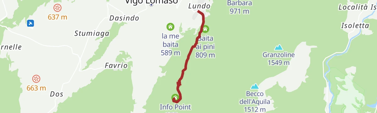
Open route APT Dolomiti di Brenta e PaganellaMonte San Martino nel Lomaso (da Lundo)
An easy walk from Lundo up to the archaeological site on Monte San Martino, above the Lomaso plain.
- 5.8 km
- Distance
- 306 m
- Ascent
- 2 h 11 min
- Duration
- 1
- Check-ins
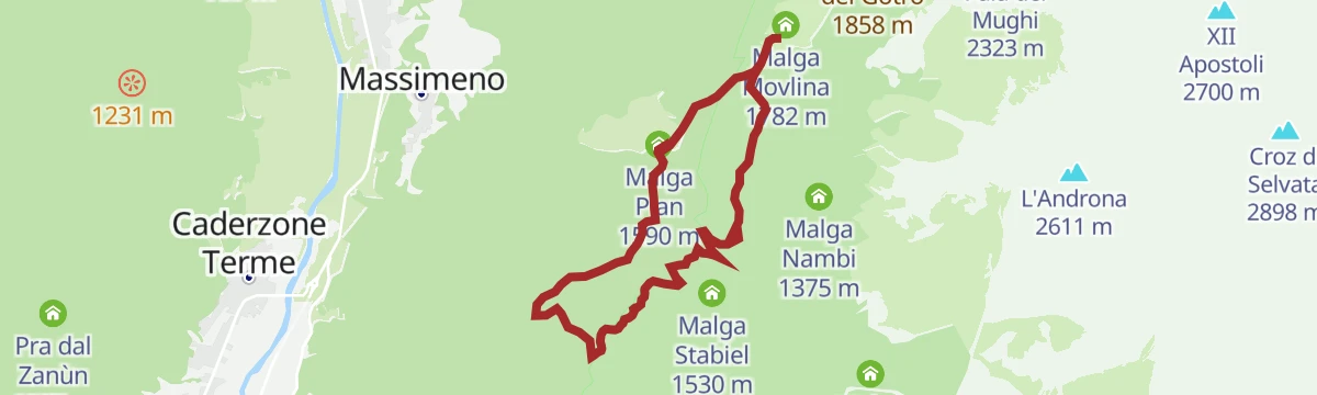
Open route Garda TrentinoTour of the huts of the Algone Valley
A round between the Algone and Rendena valleys visiting three pastures: the disused Gras delle Zerle, Malga Plan and Malga Movlina, with a forest road back.
- 7.7 km
- Distance
- 462 m
- Ascent
- 3 h 12 min
- Duration
- 14
- Check-ins
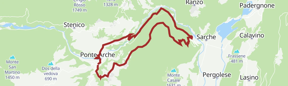
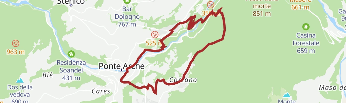
Open route APT Madonna di Campiglio, Pinzolo, Val RendenaComano Banale Trail-Tour
A long circuit over the Passo della Morte and along the rim of the Limarò gorge above the Sarca.
- 20.8 km
- Distance
- 694 m
- Ascent
- 6 h 35 min
- Duration
- 10
- Check-ins
From Paganella to Giudicarie
A long road day from the Andalo plateau into the Giudicarie, with the climb to the Passo Durone as the main effort.
- 74.9 km
- Distance
- 2 360 m
- Ascent
- 8 h 52 min
- Duration
- 80
- Check-ins
- Fontanella 845 m
- Lago Park Hotel 826 m
- Grand Hotel Molveno 838 m
- Sella di Andalo 1 042 m
- APT Dolomiti Paganella 1 021 m
- Bar Ristorante Passo Durone 995 m
- +7
Open route APT Dolomiti di Brenta e PaganellaAffluente Torrente Dal O
A flat streamside stretch on a tributary of the Torrente Dal, in the hills of the Lomaso above Comano.
- 2.3 km
- Distance
- 0 m
- Ascent
- 1 h 19 min
- Duration
Rio Algone R
A level walk along the Rio Algone on the floor of the Val d'Algone above Ponte Arche.
- 9.6 km
- Distance
- 0 m
- Ascent
- 3 h 4 min
- Duration
- 9
- Check-ins
Open route Trentino FishingBallino - Durone - Stenico
A road circuit from Riva over the Ballino and Durone passes, holding height across to Stenico.
- 87.5 km
- Distance
- 2 198 m
- Ascent
- 9 h 50 min
- Duration
- 71
- Check-ins
- Garda Dolomiti Azienda per il turismo S.p.A. 69 m
- Info Point Riva del Garda 69 m
- Ingarda 603 m
- Bar Ristorante Passo Durone 995 m
- Casa sociale 248 m
- Info Point - Garda Trentino - Arco 90 m
- +7
Open route Garda TrentinoAi piedi del Monte Casale
An easy round from Poia under the wall of Monte Casale, by way of the Maso Marocc farm and the church of Santa Croce at Comano.
- 5.6 km
- Distance
- 231 m
- Ascent
- 1 h 53 min
- Duration
Open route Garda TrentinoSentiero dell'Acqua
A walk from Ponte Arche by Villa Banale to the rim of the Limarò canyon, returning through Comano.
- 10.1 km
- Distance
- 409 m
- Ascent
- 3 h 23 min
- Duration
- 9
- Check-ins
Open route Garda TrentinoTenno - Ballino - Comano
A circuit from Riva over the Ballino pass to Comano, without a level metre and almost traffic-free.
- 59.4 km
- Distance
- 1 400 m
- Ascent
- 6 h 35 min
- Duration
- 48
- Check-ins
- Garda Dolomiti Azienda per il turismo S.p.A. 69 m
- Info Point Riva del Garda 69 m
- Ingarda 603 m
- APT Terme di Comano 399 m
- Passo Del Ballino 750 m
- Hotel La Pineta - Ristorante Bar Pizzeria 660 m
- +2
Open route Garda TrentinoCastel Restor e le sue frazioni
A short leg-stretch around the remains of Castel Restór and the small hamlets scattered on the Bleggio slope.
- 5.1 km
- Distance
- 154 m
- Ascent
- 1 h 35 min
- Duration
La Val Algone, nel cuore del Parco Naturale Adamello Brenta
A valley walk in the Adamello Brenta park from the Ghedina hut to Malga Nambi, passing the ruins of the old glassworks.
- 7.2 km
- Distance
- 360 m
- Ascent
- 2 h 35 min
- Duration
- 6
- Check-ins
Medium Route - Top Dolomites Gran Fondo
The shorter of the granfondo road courses, running from Pinzolo over the Passo del Durone and finishing with the climb to Madonna di Campiglio.
- 83.5 km
- Distance
- 2 519 m
- Ascent
- 9 h 31 min
- Duration
- 45
- Check-ins
- Falesia Fontanella 1 384 m
- La Cantina di Suisse 1 506 m
- Panorama Hotel Fontanella 1 434 m
- Bar Ristorante Passo Durone 995 m
- Passo del Durone 1 010 m
- Chiesetta degli alpini 1 029 m
- +3
Open route APT Madonna di Campiglio, Pinzolo, Val RendenaCooperazione Path
An old road from Larido to the Passo Durone, once the main link towards the Rendena, with the first Cassa Rurale and cooperative house along the way.
- 6.5 km
- Distance
- 281 m
- Ascent
- 2 h 13 min
- Duration
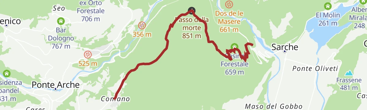
Open route Garda TrentinoPasso della Morte: a path through nature and legend
An out-and-back from Comano to the Passo della Morte, a crossing whose grim name belongs to local legend rather than to the walking.
- 7.7 km
- Distance
- 293 m
- Ascent
- 2 h 49 min
- Duration
- 6
- Check-ins
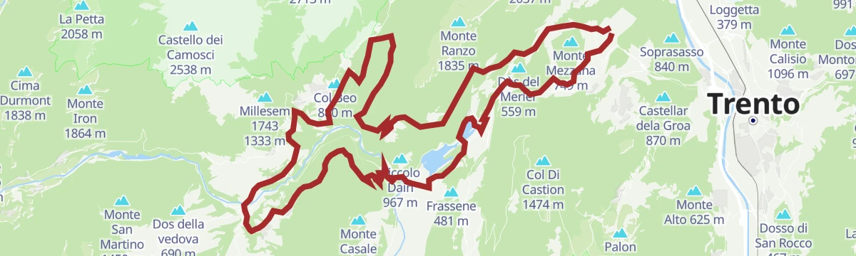
Open route Garda TrentinoTerlago-Banale Gravel Tour
A gravel route from the lake at Terlago to the isolated village of Ranzo, then by track to San Lorenzo in Banale.
- 64.1 km
- Distance
- 1 684 m
- Ascent
- 7 h 16 min
- Duration
- 23
- Check-ins
- Albergo Miralaghi 248 m
- Romitorio del Casale 445 m
- Casina Forestale 659 m
- Troticoltura 252 m
- Athabaska 629 m
- Troticoltura 262 m
- +4
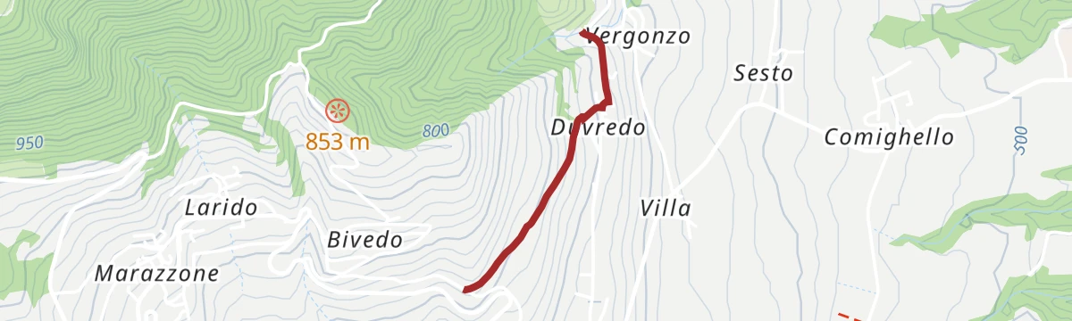
Open route Garda TrentinoDuvredo Shortcut
A short connection from Bivedo to Vergonzo by way of Duvredo, on the terrace of the Bleggio.
- 1.1 km
- Distance
- 0 m
- Ascent
- 19 min
- Duration
Fiume Sarca dal Bacino di Ponte Pià
A short riverside stretch of the Sarca at the Ponte Pià reservoir, in the gorge country below Stenico.
- 8.9 km
- Distance
- 393 m
- Ascent
- 3 h 11 min
- Duration
- 4
- Check-ins
Dolomiti di Brenta Bike Explorer - Terme di Comano: il monte Casale, Lomaso e Bleggio
A road tour out of Stenico over the Passo del Durone and Passo del Ballino, taking in the farmed uplands of Bleggio and Lomaso.
- 64.2 km
- Distance
- 3 020 m
- Ascent
- 8 h 33 min
- Duration
- 21
- Check-ins
- Bar Ristorante Passo Durone 995 m
- Malga Vigo 1 087 m
- Passo Del Ballino 750 m
- Passo del Durone 1 010 m
- Malga Val Bona 1 270 m
- Hotel La Pineta - Ristorante Bar Pizzeria 660 m
- +1
Open route APT Dolomiti di Brenta e PaganellaFiume Sarca PP1
A level bank-side stretch of the Sarca near Ponte Arche, on the floor of the Giudicarie.
- 1.0 km
- Distance
- 0 m
- Ascent
- 15 min
- Duration
Open route Trentino FishingFiume Sarca dal Bacino di Ponte Pià - Bocche del Limarò A2
A walk along the Sarca from the Ponte Pià reservoir down to the Bocche del Limarò, where the river enters its limestone gorge.
- 8.9 km
- Distance
- 400 m
- Ascent
- 3 h 13 min
- Duration
- 4
- Check-ins
Open route Trentino FishingDolomiti-Garda Alpine Cycling 3 - Ponte Arche - Riva del Garda
A stage of the DoGa cycle route dropping from the Giudicarie valleys to Lake Garda over the Passo del Ballino, with the Lago di Tenno on the way.
- 29.8 km
- Distance
- 529 m
- Ascent
- 3 h 16 min
- Duration
- 15
- Check-ins
Open route APT Madonna di Campiglio, Pinzolo, Val RendenaFiume Sarca Tione
A very short reach of the Sarca at Ponte Arche, on the valley floor below Comano Terme.
- 321 m
- Distance
- 0 m
- Ascent
- 5 min
- Duration
Al Sass de Santa Cross
A devotional route above Santa Croce with stations of the cross, climbing to the rock named for the wonder-working crucifix.
- 7.1 km
- Distance
- 440 m
- Ascent
- 3 h 2 min
- Duration
Km0 UNESCO Comano Gravel Tour
A gravel loop from Comano Terme climbing to Stenico, then down the Limarò gorge and on through the farming villages of the Lomaso.
- 39.6 km
- Distance
- 942 m
- Ascent
- 4 h 24 min
- Duration
- 5
- Check-ins
Open route Garda Trentino
No routes of this kind in Comano Terme yet.
The region's own picks

Featured route
Monte Casale da Comano
A short ascent on dirt road from the Le Quadre car park, which needs a day permit bought at the Albergo Panorama, to the top of Monte Casale.
Planning a trip to Comano Terme?
Everything else Trentino-Alto Adige/Südtirol has, in one place


Take Comano Terme with you into the mountains
Every route on this page with 3D terrain, GPX navigation and offline maps — including the valleys with no signal.
Data sources
- Official website: gardatrentino.it ↗
- Routes and highlights: Garda Trentino, APT Madonna di Campiglio, Pinzolo, Val Rendena, Visit Trentino, Visitrovereto, Trentino Fishing, APT Dolomiti di Brenta e Paganella, Astrotourism, Italia.it, VisitTrentino
- Published as open data by the tourist boards named above.
- Region summary generated from the board's own material.
