













Curated by Klausen, Barbian, Villanders, Feldthurns
Chiusa/Klausen
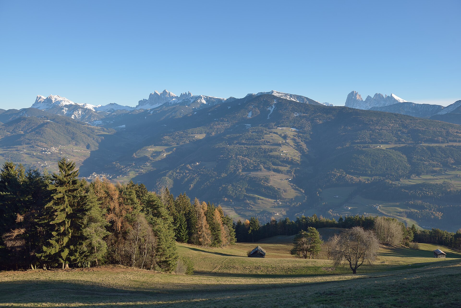
A medieval market town in the Isarco gorge below Sabiona abbey, at the mouth of the Val di Funes.
Photo: This Photo was taken by Wolfgang Moroder . Feel free to use my photos, but please mention me as the author and send me a message . This image is not in the public domain . Please respect the copyright protection. It may only be used according to the rules mentioned here. This specifically excludes use in social media , if applicable terms of the licenses listed here not appropriate. Please do not upload an updated image here without consultation with the Author. The author would like to make corrections only at his own source. This ensures that the changes are preserved. Please if you think that any changes should be required, please inform the author. Otherwise you can upload a new image with a new name. Please use one of the templates derivative or extract . · CC BY-SA 3.0 licence
- 3Highlights
- 52Routes
- Featured summit · Ausserraschötz
Highlights
11 from neighbouring places
Rifugio Chiusa al Campaccio
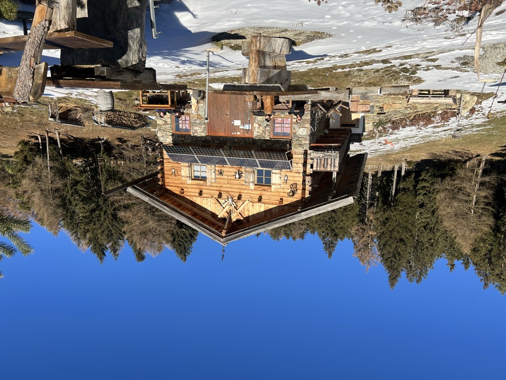
A refuge on the wooded slopes above Chiusa, on the long climb from the Val Isarco towards the Latzfonser Kreuz.
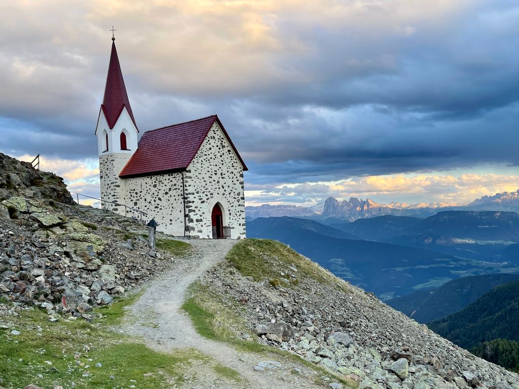
Rifugio Latzfonser Kreuz
A refuge below the Cima di Ega in the Alpi Sarentine, reached from Latzfons above Chiusa and long visited as a pilgrimage site.
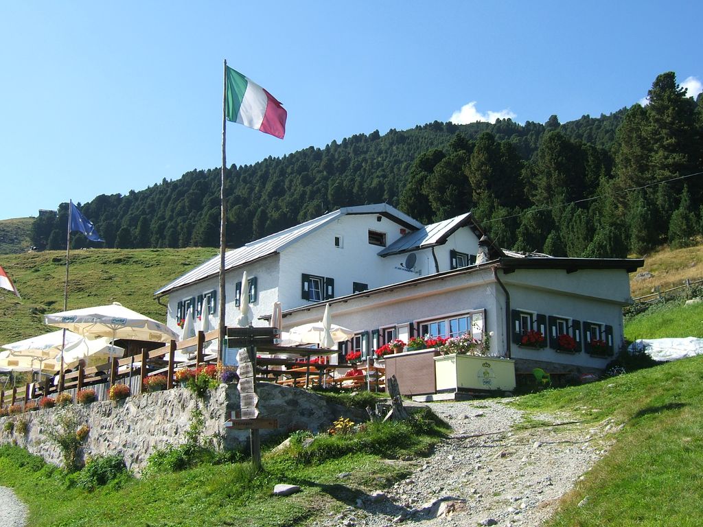
Sterzing, Pfitsch und FreienfeldStöfflhütte
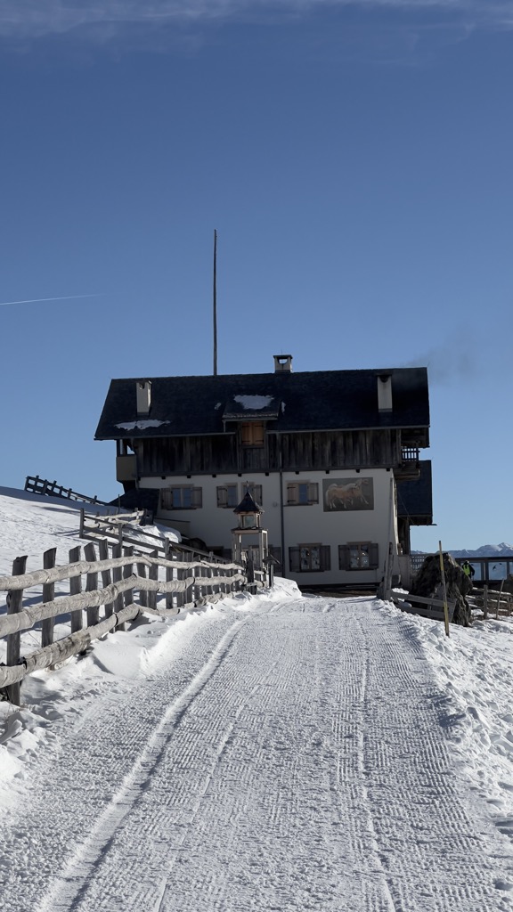
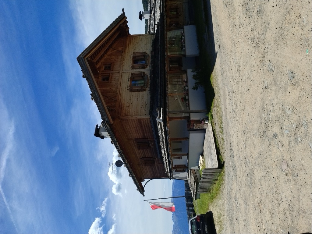
A hut on the pastures above Chiusa, on the Sarentine slopes east of the Val Isarco.
Sterzing, Pfitsch und FreienfeldGasser Hütte
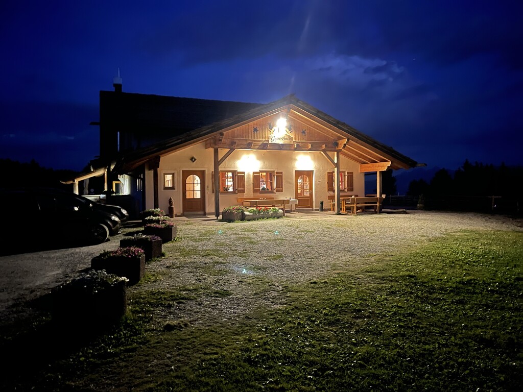
3.8 km away, in Villandro/Villanders
A hut on the Alpe di Villandro above Villandro, one of the wide grazing plateaux of the Alpi Sarentine.
Malga Mair in Plun
3.8 km away, in Villandro/Villanders
A dairy hut on the Alpe di Villandro, on the pastures above Villandro in the Val Isarco.
Sterzing, Pfitsch und FreienfeldMalga Pfroder
5.9 km away, in Villandro/Villanders
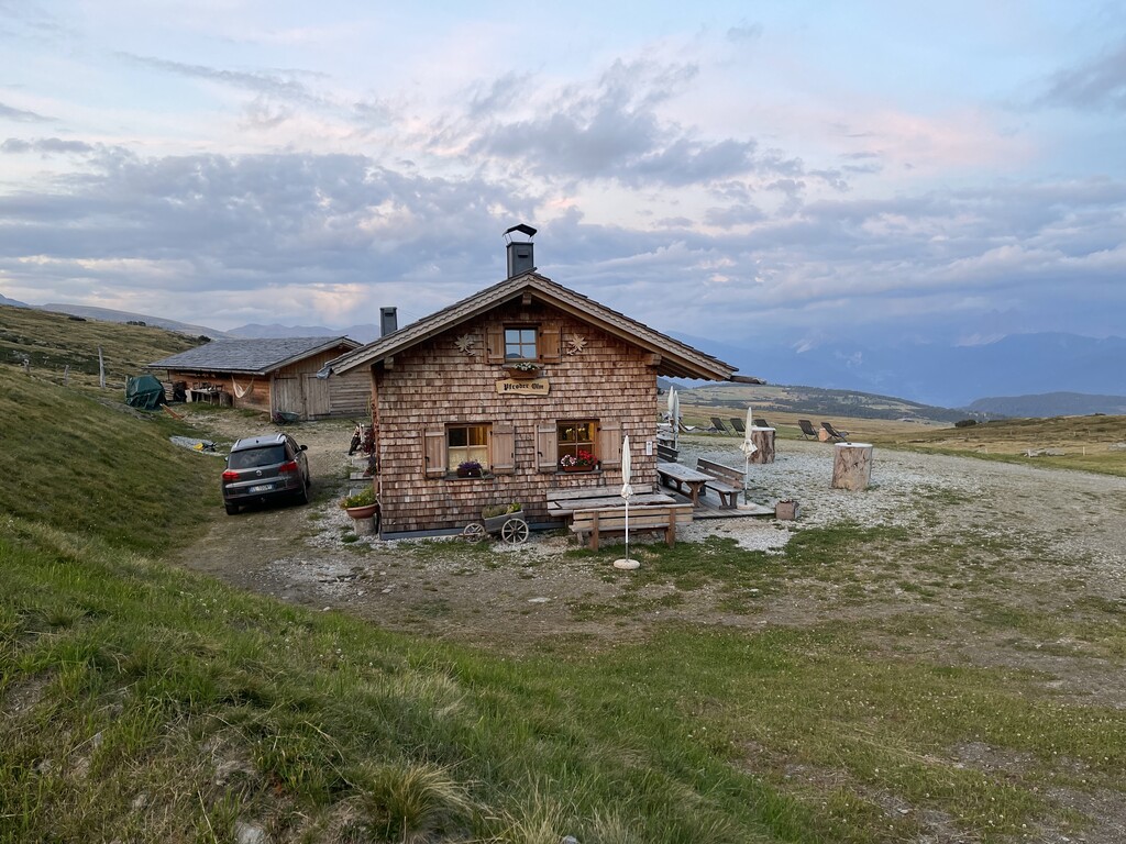
A dairy hut on the open ground of the Alpe di Villandro above Villandro, reached by the track from the valley.
Sterzing, Pfitsch und FreienfeldUnterpulghütte
9.6 km away, in Laion/Lajen
A hut on the slopes above Laion, at the mouth of the Val Gardena in the Val Isarco.
Sterzing, Pfitsch und FreienfeldZirmaitalm
11.1 km away, in Varna/Vahrn
A dairy hut on the pastures above Varna, north of Bressanone in the Val Isarco.
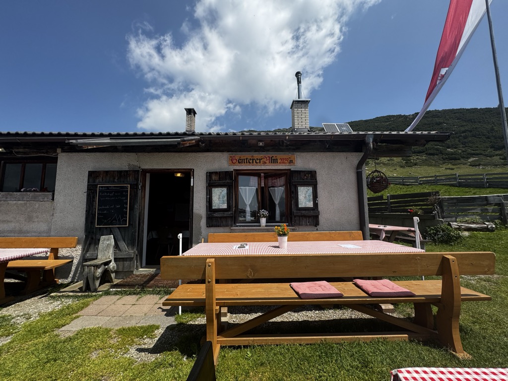
Sterzing, Pfitsch und FreienfeldGenterer Alm
11.3 km away, in Sarentino/Sarntal
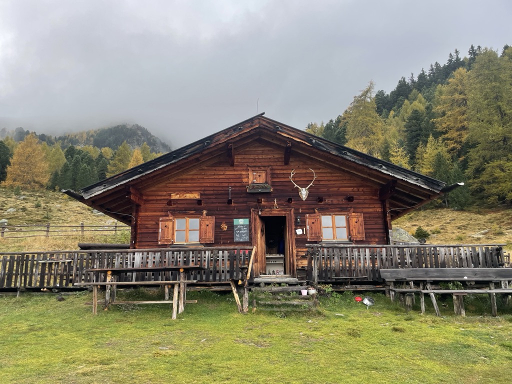
A dairy hut on the Genter pastures of the Sarntal, above Sarentino, reached by the path that climbs through larch woods from the valley road.
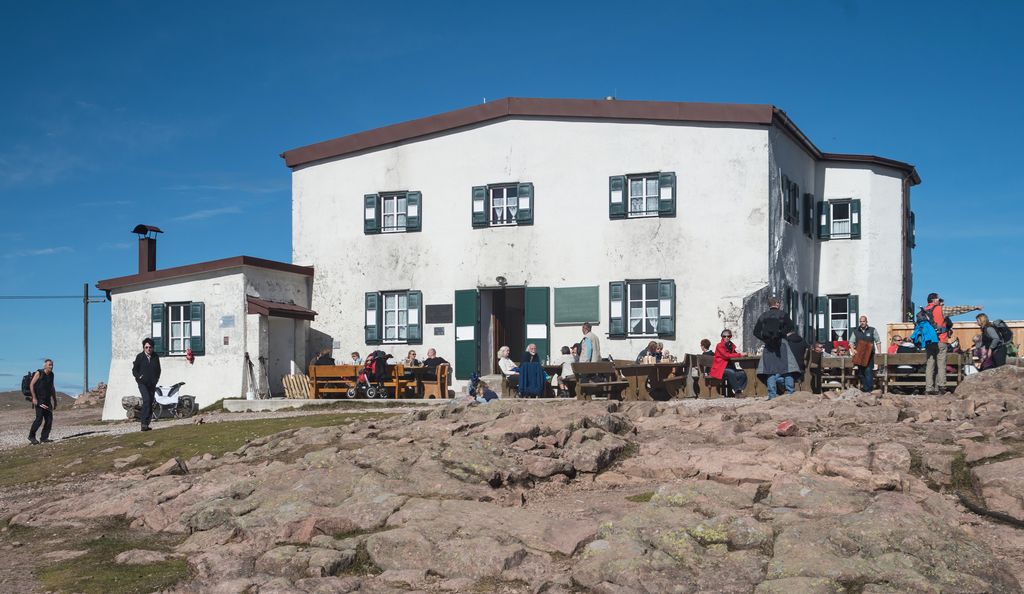
Sterzing, Pfitsch und FreienfeldSchutzhaus Rittner Horn
7.5 km away, in Barbiano/Barbian
A refuge just below the summit of the Corno di Renon above Barbiano, reached from the Pemmern chairlift or on foot from Renon.
Sterzing, Pfitsch und FreienfeldBaita Feltuner
8.6 km away, in Barbiano/Barbian
A baita on the slopes above Barbiano, on the way up from the Val Isarco towards the Corno di Renon.
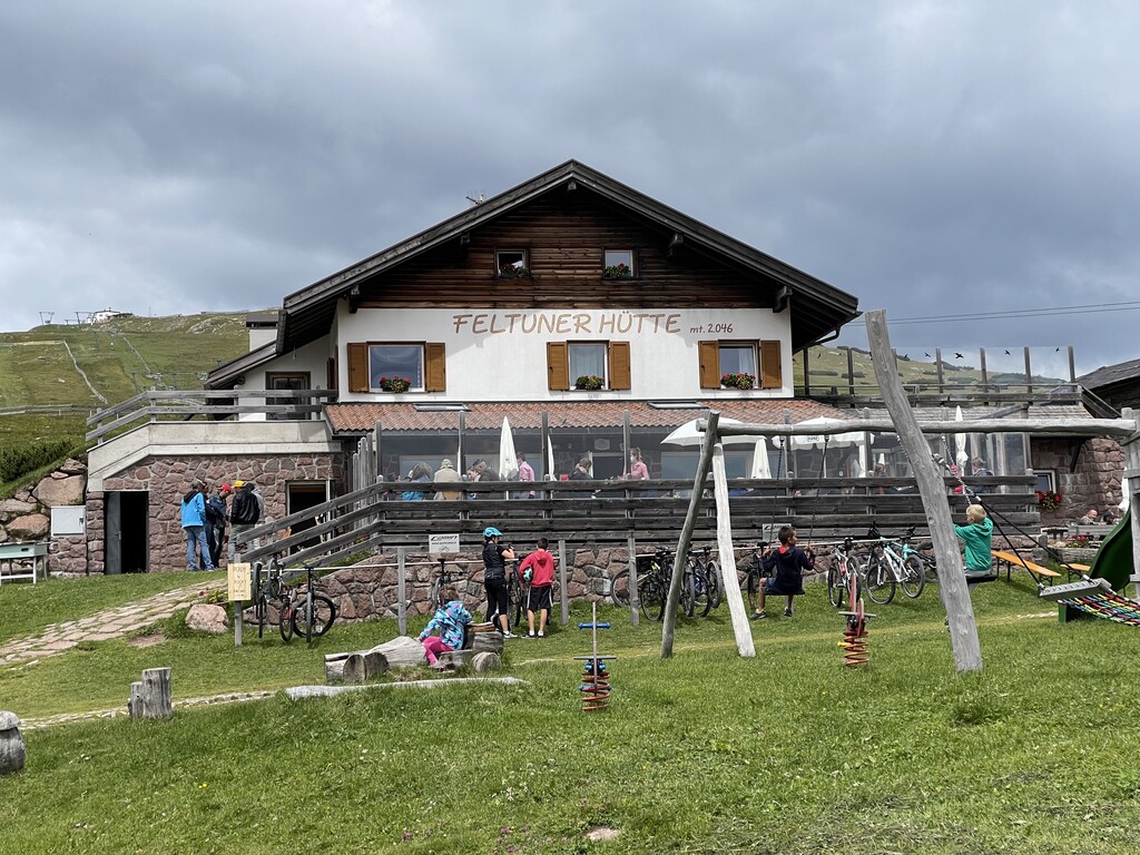
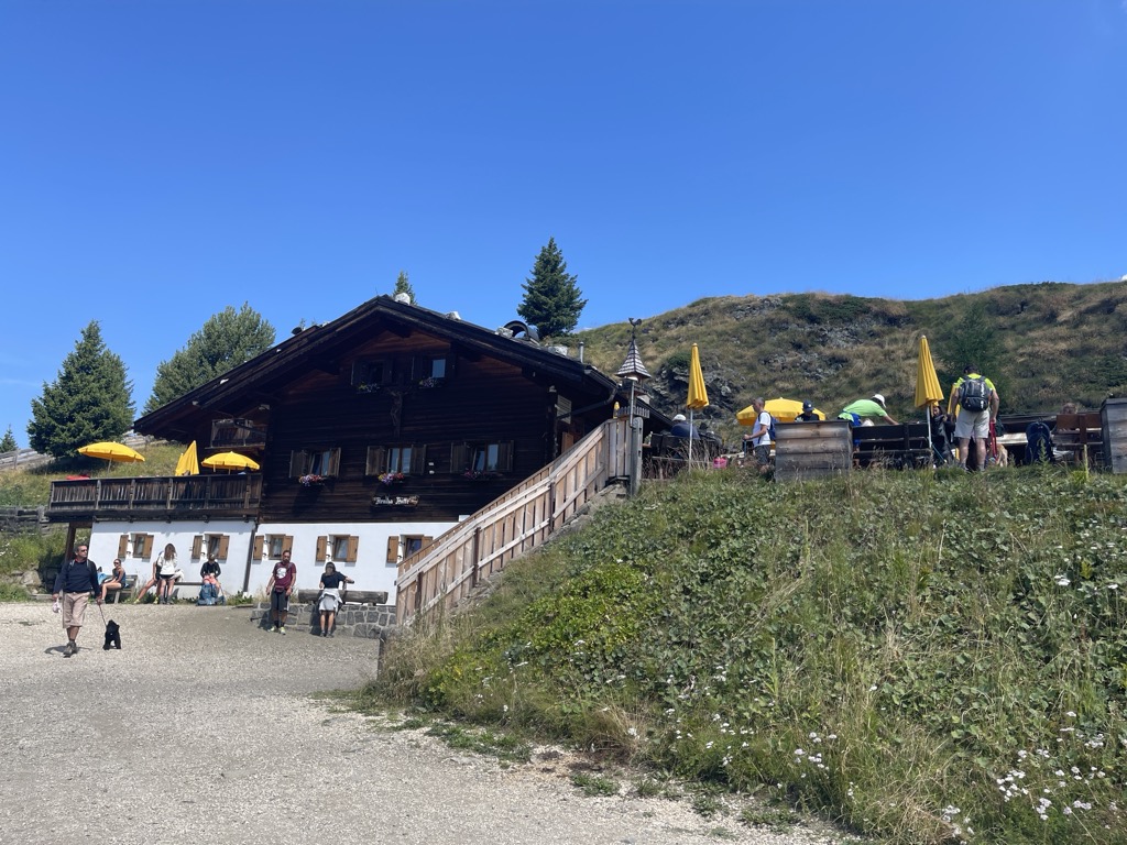
Feltuner Hütte
8.6 km away, in Barbiano/Barbian
A hut on the pastures above Barbiano, below the long ridge of the Corno di Renon in the Alpi Sarentine.
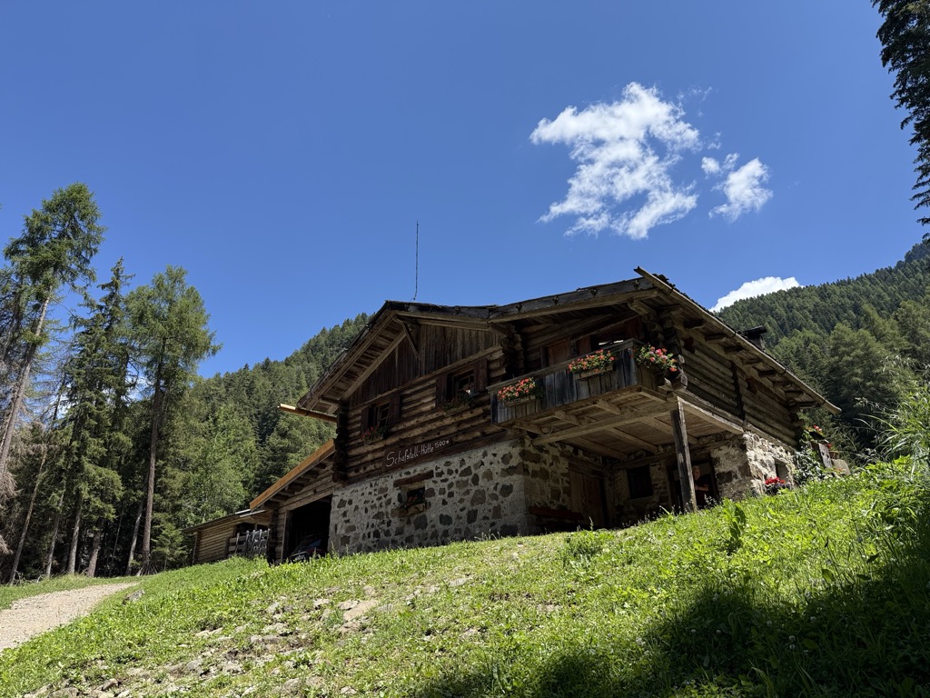
Sterzing, Pfitsch und FreienfeldMalga Schafstall
13.3 km away, in Castelrotto/Kastelruth
A hut at 1,500 m above Castelrotto, 15 minutes on path 9 from the Marinzen gondola top station, or on path 8 up from the village.
Sterzing, Pfitsch und FreienfeldRifugio Arnika
14.2 km away, in Castelrotto/Kastelruth
A hut at 2,059 m on the Bullaccia above Castelrotto, with a sun terrace and a children's playground, and in winter a ski taxi back to the Hexe piste.
Sterzing, Pfitsch und Freienfeld
Nothing of this kind in Chiusa/Klausen.
Routes
50 routes, an even mix of activities · see the rest on suedtirol.info ↗
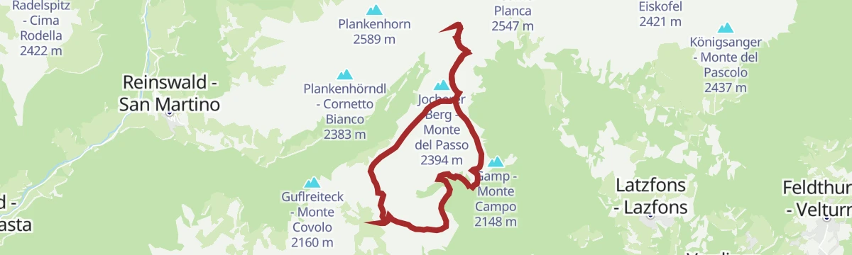
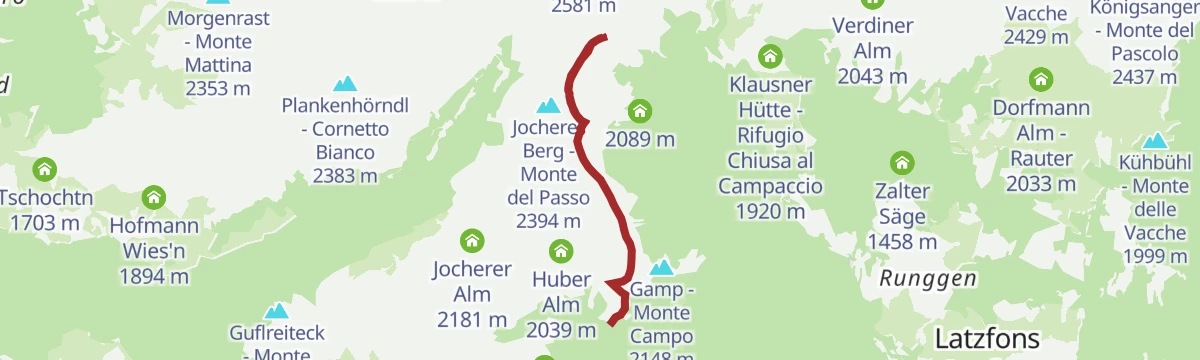
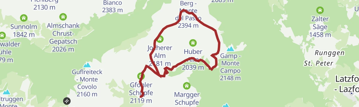
Sulle Alpe di Lazfons fino alla Stöfflhütte
A short, easy walk across the Latzfons pastures to the Stöfflhütte, where they meet the Villandro alp; gentle enough for families.
- 6.9 km
- Distance
- 200 m
- Ascent
- 2 h 6 min
- Duration
- 18
- Check-ins
 Stöfflhütte - Rifugio Stöffl 2 057 m
- Gfohler Schupfe 2 119 m
- Götschler Schupfe 2 012 m
- Käserei Jochalm 1 969 m
- Margger Schupfe 2 064 m
Open route Sterzing, Pfitsch und FreienfeldResciesa to Fraina
A traverse of the Resciesa plateau above Ortisei, descending to Fraina, with the Dolomites in view for most of the way.
- 12.4 km
- Distance
- 206 m
- Ascent
- 4 h 19 min
- Duration
- 138
- Check-ins
 Ausserraschötz 2 283 m
- Utia Resciesa - Schutzhütte Raschötz - Rifugio Resciesa 2 170 m
- Cason 2 115 m
- Chalet Resciesa 2 099 m
 Tschatterlin-Sattel - Sella Ciatterlin 1 973 m
- Solerhof 1 130 m
Open route LajenSaltnerstein (Gasser Hut) – Cross "Latzfonser Kreuz" – Saltnerstein
A long day from the Gasser hut by the Stöffl hut to the Latzfonser Kreuz pilgrimage church, finishing up the Kassianspitze in the Sarentino Alps.
- 21.8 km
- Distance
- 1 035 m
- Ascent
- 7 h 34 min
- Duration
- 101
- Check-ins
- Kassianspitz 2 581 m
- Samspitze 2 563 m
- Mair in Plun 1 860 m
- Schutzhaus Latzfonser Kreuz - Rifugio Santa Croce di Lazfons 2 305 m
- Gasser Hütte - Rifugio Gasser 1 756 m
- Stöfflhütte - Rifugio Stöffl 2 057 m
- +3
Open route Klausen, Barbian, Villanders, FeldthurnsCima S. Cassiano
A ski tour above Latzfons through larch and pine to the Kassianspitze, passing the pilgrimage site of the Latzfonser Kreuz on the way.
- 15.0 km
- Distance
- 1 010 m
- Ascent
- 1 007 m
- Descent
- 4 h 60 min
- Duration
- 61
- Check-ins
- Kassianspitz 2 581 m
- Samspitze 2 563 m
- Schutzhaus Latzfonser Kreuz - Rifugio Santa Croce di Lazfons 2 305 m
- Klausner Hütte - Rifugio Chiusa al Campaccio 1 920 m
 Kassiansee - Lago di San Cassiano 2 474 m
- Runggerer Saltnerhütt 2 028 m
- +1
Open route Sterzing, Pfitsch und Freienfeld457 Dalle alture pittoresche al fascino delle città medievali: Da Castelrotto a Vipiteno
An e-bike traverse dropping from Castelrotto into the Eisacktal, then following the valley north to Vipiteno largely on surfaced roads.
- 65.4 km
- Distance
- 762 m
- Ascent
- 6 h 33 min
- Duration
- 80
- Check-ins
- Paterbichl 559 m
- Klammwirt 559 m
- Tourist Information 1 069 m
- Senfter 532 m
- Fürholz 554 m
- Hilm 488 m
- +10
Open route Seis am SchlernEisacktal Valley Bike Route: Brenner - Bozen
A long, almost entirely downhill valley ride from the Brenner border to Bozen, following the Eisack river the whole way.
- 96.5 km
- Distance
- 313 m
- Ascent
- 9 h 14 min
- Duration
- 185
- Check-ins
- Paterbichl 559 m
- Mila Bistro 282 m
- Klammwirt 559 m
- Hiasele 312 m
- Agrocenter Bozen OHG 296 m
- Senfter 532 m
- +22
Open route Gitschberg - JochtalWeinwanderweg in Klausen
A short wine trail at Chiusa through the vineyards above the town, taking in the grape varieties and cellars of the Isarco valley.
- 5.5 km
- Distance
- 317 m
- Ascent
- 2 h 12 min
- Duration
- 12
- Check-ins
To the Stöffelhütte in the Alps of Villanders
A walk over the flat moorland of the Villandro alp to the Stöffl hut, open the whole way towards the line of the Dolomites.
- 13.6 km
- Distance
- 463 m
- Ascent
- 4 h 12 min
- Duration
- 69
- Check-ins
- Mair in Plun 1 860 m
- Gasser Hütte - Rifugio Gasser 1 756 m
- Stöfflhütte - Rifugio Stöffl 2 057 m
- Almgasthof Am Rinderplatz - Baita Rinderplatz 1 800 m
- Gostner Lerch 1 918 m
- Gfohler Schupfe 2 119 m
Open route Klausen, Barbian, Villanders, FeldthurnsFrom the kühhof farm to kassianspitze peak
A summit walk from the Kühhof by way of the Klausner Hütte and the Latzfonser Kreuz, whose church is the highest pilgrimage site in the Alps.
- 15.1 km
- Distance
- 1 013 m
- Ascent
- 6 h 49 min
- Duration
- 61
- Check-ins
- Kassianspitz 2 581 m
- Samspitze 2 563 m
- Schutzhaus Latzfonser Kreuz - Rifugio Santa Croce di Lazfons 2 305 m
- Klausner Hütte - Rifugio Chiusa al Campaccio 1 920 m
- Kassiansee - Lago di San Cassiano 2 474 m
- Runggerer Saltnerhütt 2 028 m
- +1
Open route BrixenBike - Tour Laion
A varied circuit above Lajen through woods and meadows, with repeated ups and downs and an optional extra climb to the Unterpulghütte.
- 15.9 km
- Distance
- 903 m
- Ascent
- 2 h 25 min
- Duration
- 24
- Check-ins
- Unterpulghütte 1 555 m
- Gnollhof 1 164 m
- Tourismusverein Lajen - Associazione Turistica di Laion 1 095 m
- Punholzweiher 1 352 m
- Bonichhof 1 143 m
- Tourist Info 1 102 m
- +1
Open route LajenCastelfeder – Bolzano – Valle Isarco
The Adige cycle path from the Bolzano basin up the Isarco valley by Chiusa toward Bressanone.
- 76.1 km
- Distance
- 617 m
- Ascent
- 7 h 12 min
- Duration
- 183
- Check-ins
- Paterbichl 559 m
- Mila Bistro 282 m
- Kampill Center 270 m
- Klammwirt 559 m
- Hiasele 312 m
- Agrocenter Bozen OHG 296 m
- +17
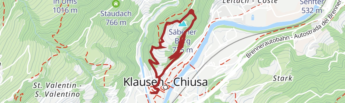
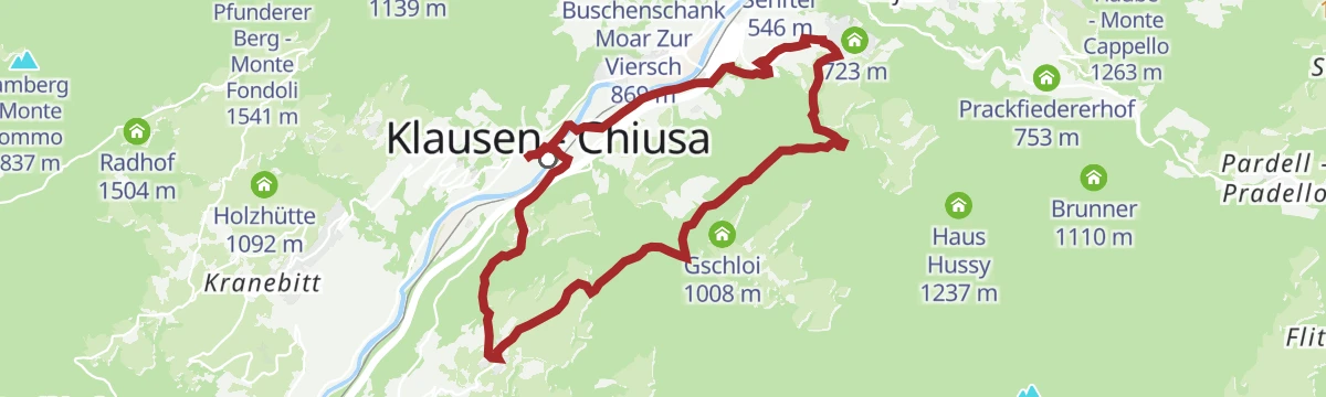
Open route Südtirols SüdenCircular walk from Klausen to Säben
A short, steep circuit from Chiusa up the Sabiona hill to the monastery that stands over the Isarco valley.
- 2.8 km
- Distance
- 207 m
- Ascent
- 1 h 21 min
- Duration
- 12
- Check-ins
Open route Valle Isarco - EisacktalTo the Stöfflhütte on the Villanderer Alm
A steady route across the Villandro alp to the Stöffl hut, one of the dairies that serve walkers on the plateau.
- 14.3 km
- Distance
- 421 m
- Ascent
- 4 h 23 min
- Duration
- 69
- Check-ins
- Mair in Plun 1 860 m
- Gasser Hütte - Rifugio Gasser 1 756 m
- Stöfflhütte - Rifugio Stöffl 2 057 m
- Almgasthof Am Rinderplatz - Baita Rinderplatz 1 800 m
- Gostner Lerch 1 918 m
- Gfohler Schupfe 2 119 m
Open route Valle Isarco - EisacktalKühhof - Latzfons Cross - Kassian peak
A hard summit climb from the Kühhof to the Kassianspitze, with the Klausner Hütte and the Latzfonser Kreuz for refreshment on the way.
- 7.4 km
- Distance
- 1 008 m
- Ascent
- 4 h
- Duration
- 61
- Check-ins
- Kassianspitz 2 581 m
- Samspitze 2 563 m
- Schutzhaus Latzfonser Kreuz - Rifugio Santa Croce di Lazfons 2 305 m
- Klausner Hütte - Rifugio Chiusa al Campaccio 1 920 m
- Kassiansee - Lago di San Cassiano 2 474 m
- Runggerer Saltnerhütt 2 028 m
- +1
Open route Klausen, Barbian, Villanders, FeldthurnsVillanders Alpine Pasture Tour
A hard climb onto the Villanderer Alm and up to the Schutzhaus Latzfonser Kreuz at 2,305 m, past the Klausner and Stöffl huts.
- 37.8 km
- Distance
- 2 090 m
- Ascent
- 5 h 37 min
- Duration
- 138
- Check-ins
- Mair in Plun 1 860 m
- Schutzhaus Latzfonser Kreuz - Rifugio Santa Croce di Lazfons 2 305 m
- Gasser Hütte - Rifugio Gasser 1 756 m
- Klausner Hütte - Rifugio Chiusa al Campaccio 1 920 m
- Stöfflhütte - Rifugio Stöffl 2 057 m
- Hotel Sambergerhof 1 500 m
- +12
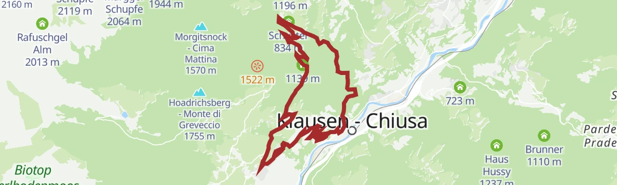
Open route Klausen, Barbian, Villanders, FeldthurnsLaitach wine hiking trail in Klausen
An easy circuit through the Leitach vineyards on the slope north of Chiusa, high above the Isarco valley floor.
- 4.1 km
- Distance
- 216 m
- Ascent
- 1 h 34 min
- Duration
- 11
- Check-ins
Open route Valle Isarco - EisacktalKassiansee lake
A high walk from Kaseregg above Latzfons by the Latzfonser Kreuz to the Kassiansee, a small lake under the Kassianspitze.
- 14.2 km
- Distance
- 707 m
- Ascent
- 5 h 11 min
- Duration
- 41
- Check-ins
- Schutzhaus Latzfonser Kreuz - Rifugio Santa Croce di Lazfons 2 305 m
- Stöfflhütte - Rifugio Stöffl 2 057 m
- Kassiansee - Lago di San Cassiano 2 474 m
- Gfohler Schupfe 2 119 m
- Käserei Jochalm 1 969 m
- Margger Schupfe 2 064 m
Open route Klausen, Barbian, Villanders, FeldthurnsTo the Kassianspitze in Latzfons
A long climb from Latzfons to the Kassianspitze, the summit standing above the Latzfonser Kreuz in the Sarentino Alps.
- 14.7 km
- Distance
- 1 002 m
- Ascent
- 6 h 42 min
- Duration
- 61
- Check-ins
- Kassianspitz 2 581 m
- Samspitze 2 563 m
- Schutzhaus Latzfonser Kreuz - Rifugio Santa Croce di Lazfons 2 305 m
- Klausner Hütte - Rifugio Chiusa al Campaccio 1 920 m
- Kassiansee - Lago di San Cassiano 2 474 m
- Runggerer Saltnerhütt 2 028 m
- +1
Open route Valle Isarco - Eisacktal457 From picturesque heights to medieval town flair - from Kastelruth to Sterzing
A long valley ride from the terrace above the Eisack down to the river, then north past Paterbichl to Sterzing, mostly on paved paths.
- 65.0 km
- Distance
- 758 m
- Ascent
- 6 h 31 min
- Duration
- 76
- Check-ins
- Paterbichl 559 m
- Klammwirt 559 m
- Tourist Information 1 069 m
- Senfter 532 m
- Fürholz 554 m
- Hilm 488 m
- +9
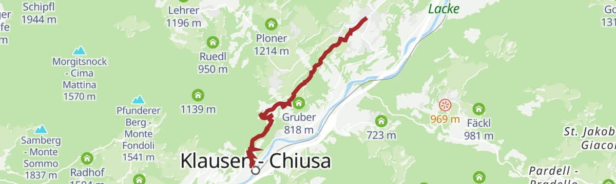
Open route SterzingLeitacher Weinwanderweg wine route in Klausen
An easy route through the steep Leitach vineyards north of Chiusa, with boards on the grapes and wines the town has long produced.
- 4.5 km
- Distance
- 254 m
- Ascent
- 1 h 47 min
- Duration
- 11
- Check-ins
Open route BrixenCircular hike from Klausen via Albions to Gufidaun
A circuit from Chiusa up to Albions and across to the village of Gudon, returning down the terraced slopes above the Isarco.
- 11.9 km
- Distance
- 518 m
- Ascent
- 4 h 5 min
- Duration
- 24
- Check-ins
Open route Valle Isarco - EisacktalGarn - Königanger peak - Radlsee lake
A climb from Garn past the Stoanernes Mandl cairn to the Königsanger in the Sarntal Alps, returning by the Radlsee hut and its lake.
- 13.6 km
- Distance
- 1 064 m
- Ascent
- 6 h 53 min
- Duration
- 35
- Check-ins
- Königsanger - Monte del Pascolo 2 437 m
- Muntschegge 2 164 m
- Kühbühl - Monte delle Vacche 1 999 m
- AVS Notraum - AVS Bivacco di emergenza 2 290 m
- Radlsee - Lago Rodella 2 256 m
- Radelsee-Haus - Rifugio Lago Rodella 2 280 m
- +2
Open route Klausen, Barbian, Villanders, FeldthurnsTour in bicicletta da Vipiteno a Chiusa
A ride down the valley from Vipiteno to Chiusa, passing the Habsburg fortress at Fortezza and the old town centres on the way.
- 48.6 km
- Distance
- 137 m
- Ascent
- 4 h 35 min
- Duration
- 41
- Check-ins
- Paterbichl 559 m
- Klammwirt 559 m
- Senfter 532 m
- Fürholz 554 m
- Klausen Informationsbüro - Chiusa 533 m
- Tourismusverein Sterzing - Associazione Turistica 957 m
- +2
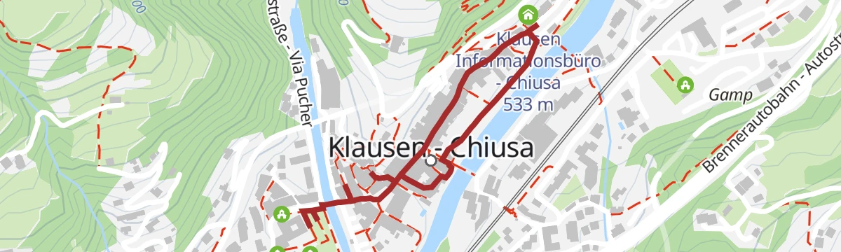
Open route Sterzing, Pfitsch und FreienfeldMedieval Sightseeing Walk in Klausen/Chiusa
A short walk through the medieval centre of Chiusa in the Isarco valley, past the old town hall, the parish church and the crypt chapel.
- 1.4 km
- Distance
- 0 m
- Ascent
- 19 min
- Duration
- 6
- Check-ins
Open route Klausen, Barbian, Villanders, FeldthurnsKlausen - Albions - Fonteklaus - Gufidaun - Klausen
A circuit from the parish church in Chiusa past the Dürer stone up to Albions, then down into the Löchl valley by Fonteklaus to Gudon.
- 12.0 km
- Distance
- 500 m
- Ascent
- 4 h 3 min
- Duration
- 24
- Check-ins
Open route Klausen, Barbian, Villanders, FeldthurnsThe Keschtnweg Chestnut Trail form Brixen to Klausen
A section of the chestnut trail from Brixen to Klausen, through sweet chestnut groves and the worked terraces of the Eisack valley.
- 15.6 km
- Distance
- 685 m
- Ascent
- 5 h 23 min
- Duration
- 21
- Check-ins
- Säbener Berg 735 m
- Klausen Informationsbüro - Chiusa 533 m
- Saderhof 912 m
- Breitwieser 814 m
- Zimmermandl 791 m
- Buschenschank Moar Zur Viersch 869 m
- +2
Open route BrixenFrom Klausen to Brixen
An almost level family ride along the Isarco from Chiusa up to Bressanone, whose old centre and Hofburg sit at the far end.
- 25.3 km
- Distance
- 41 m
- Ascent
- 2 h 17 min
- Duration
- 31
- Check-ins
Open route Klausen, Barbian, Villanders, Feldthurns.
A short guided walk through the old centre of Chiusa, run in German and Italian on set days between July and September.
- 474 m
- Distance
- 0 m
- Ascent
- 7 min
- Duration
- 4
- Check-ins
Open route Klausen, Barbian, Villanders, FeldthurnsLatzfons High Altitude Trail
A high traverse in the Sarentino Alps from the Klausner Hütte to the Radlsee, over alpine meadow and through stone pine forest facing the Dolomites.
- 10.6 km
- Distance
- 559 m
- Ascent
- 4 h 1 min
- Duration
- 24
- Check-ins
- Klausner Hütte - Rifugio Chiusa al Campaccio 1 920 m
- Hoferschupfe 1 775 m
- Brugger-Schupfe 1 999 m
- Untergostner Schupfe - Malga Frotscher 1 895 m
Open route Klausen, Barbian, Villanders, FeldthurnsThe Keschtnweg chestnut trail from Brixen to Klausen
The Keschtnweg from Brixen down the Eisack valley to the artists' town of Klausen, through old sweet chestnut groves and cultivated hillside.
- 15.7 km
- Distance
- 688 m
- Ascent
- 5 h 25 min
- Duration
- 21
- Check-ins
- Säbener Berg 735 m
- Klausen Informationsbüro - Chiusa 533 m
- Saderhof 912 m
- Breitwieser 814 m
- Zimmermandl 791 m
- Buschenschank Moar Zur Viersch 869 m
- +2
Open route BrixenCycle tour from Sterzing to Klausen
A long valley run from the medieval centre of Sterzing past the fortress of Franzensfeste down to Klausen, dropping over 400 m overall.
- 48.5 km
- Distance
- 128 m
- Ascent
- 4 h 34 min
- Duration
- 28
- Check-ins
- Paterbichl 559 m
- Senfter 532 m
- Fürholz 554 m
- Klausen Informationsbüro - Chiusa 533 m
- Tourismusverein Sterzing - Associazione Turistica 957 m
- Work & Office Center Kampan 572 m
- +1
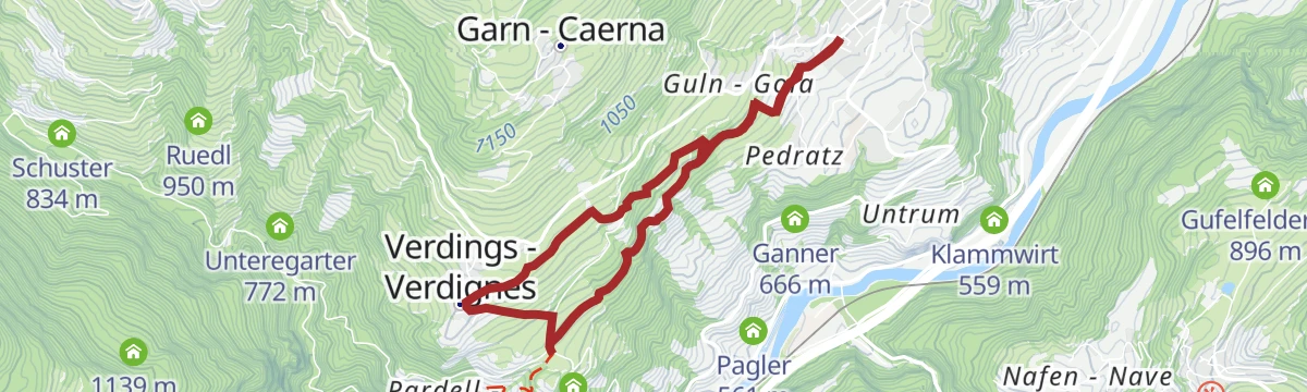
Open route Klausen, Barbian, Villanders, FeldthurnsBirmehlweg
A short themed trail at Verdings following the local pears and the flour that was once milled from them.
- 3.1 km
- Distance
- 176 m
- Ascent
- 1 h 15 min
- Duration
- 1
- Check-ins
Törggele hike Klausen - Gufidaun
An autumn walk from Chiusa up to Gudon, calling at the farm inns that serve new wine and chestnuts in the Törggelen season.
- 10.3 km
- Distance
- 456 m
- Ascent
- 3 h 33 min
- Duration
- 24
- Check-ins
Open route Klausen, Barbian, Villanders, FeldthurnsFeldthurns/Velturno - Garn/Caerna - Klausner Hütte/Rifugio Chiusa
A long day from Velturno by way of Garn to the Klausner hut in the Sarntal Alps, returning past the Garn wayside cross.
- 19.6 km
- Distance
- 1 109 m
- Ascent
- 7 h 49 min
- Duration
- 20
- Check-ins
Open route Klausen, Barbian, Villanders, FeldthurnsSt. Anne´s Miners´ Chapel
A climb above Villanders past Gravetsch Castle to the old miners' chapel, returning through the Tinne valley and Klausen.
- 16.5 km
- Distance
- 691 m
- Ascent
- 2 h 7 min
- Duration
- 15
- Check-ins
- Moränenhügel "Peterwirtshügel" 841 m
- Paterbichl 559 m
- Tourism Office 867 m
- Gasthaus Mühlele Albergo 833 m
- Schuster 834 m
- Mayrhofer 740 m
Open route Klausen, Barbian, Villanders, FeldthurnsChestnut Trail from Feldthurns to Klausen
A section of the chestnut route from Velturno down to Chiusa, through mixed woods, meadows and chestnut groves above the Isarco.
- 6.0 km
- Distance
- 106 m
- Ascent
- 1 h 58 min
- Duration
- 1
- Check-ins
Open route Klausen, Barbian, Villanders, FeldthurnsHiking Circuit from Klausen to Gufidaun via Albions and back
A loop above Chiusa by Albions to the village of Gudon and back, passing the stone that marks Albrecht Dürer's journey through the valley.
- 11.8 km
- Distance
- 517 m
- Ascent
- 4 h 2 min
- Duration
- 20
- Check-ins
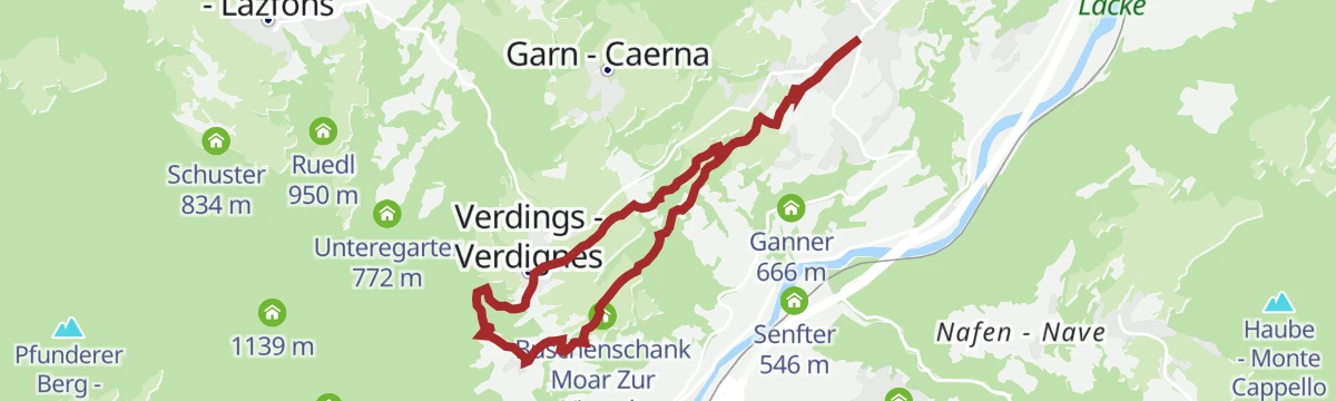
Open route BrixenDa Velturno a Verdignes
The Chestnut Trail leg between Velturno and Verdignes, running almost level across meadows and chestnut woods with places to eat on the way.
- 5.7 km
- Distance
- 182 m
- Ascent
- 1 h 48 min
- Duration
- 1
- Check-ins
Open route Sterzing, Pfitsch und FreienfeldKaseregg-Rifugio S. Croce di Lazfons
A climb from Kaseregg across the Latzfons alp past the Jochalm to the Latzfonser Kreuz at 2,311 m, returning by way of Kesslbild.
- 7.4 km
- Distance
- 476 m
- Ascent
- 3 h 14 min
- Duration
- 20
- Check-ins
Open route Klausen, Barbian, Villanders, FeldthurnsThe Birmehl Trail
A circuit from the square at Verdings over dry grassland to the hamlet of Pardell and the Moar zu Viersch farm, back on an old paved path.
- 3.1 km
- Distance
- 174 m
- Ascent
- 1 h 14 min
- Duration
- 1
- Check-ins
Open route Klausen, Barbian, Villanders, FeldthurnsFrom Kaseregg near Latzfons to the Stöfflhütte mountain hut
A short walk over the Latzfons and Villandro pastures from Kaseregg to the Stöfflhütte, with dairies for a stop along the way.
- 7.2 km
- Distance
- 194 m
- Ascent
- 2 h 9 min
- Duration
- 18
- Check-ins
- Stöfflhütte - Rifugio Stöffl 2 057 m
- Gfohler Schupfe 2 119 m
- Götschler Schupfe 2 012 m
- Käserei Jochalm 1 969 m
- Margger Schupfe 2 064 m
Open route BrixenGufi Walk in Gufidaun
A family trail through the old village of Gudon, led by the owl Gufi, with a playground, benches and viewpoints along the way.
- 2.3 km
- Distance
- 86 m
- Ascent
- 44 min
- Duration
Open route Klausen, Barbian, Villanders, FeldthurnsKaseregg - Saltner Hütte – Stöfflhütte – Kaseregg
A circuit from the Kaseregg car park across the Latzfons and Villandro pastures, calling at the Saltner and Stöffl huts and the Jochalm dairy.
- 9.6 km
- Distance
- 355 m
- Ascent
- 3 h 7 min
- Duration
- 18
- Check-ins
- Stöfflhütte - Rifugio Stöffl 2 057 m
- Gfohler Schupfe 2 119 m
- Götschler Schupfe 2 012 m
- Käserei Jochalm 1 969 m
- Jocherer Alm 2 181 m
- Jochalm 2 241 m
- +1
Open route Klausen, Barbian, Villanders, FeldthurnsOverlook “Gamp”
A short family walk from the Kaseregg car park across meadows and dwarf pine to the weather cross at the Gamp lookout.
- 1.2 km
- Distance
- 80 m
- Ascent
- 27 min
- Duration
Open route Klausen, Barbian, Villanders, FeldthurnsTörggele Hike Klausen - Pardell
An autumn walk from Chiusa up to Pardell, in sight of the Sabiona monastery, stopping at farms that serve new wine and local dishes.
- 8.4 km
- Distance
- 368 m
- Ascent
- 2 h 53 min
- Duration
- 17
- Check-ins
- Senfter 532 m
- Klausen Informationsbüro - Chiusa 533 m
- Hieng 668 m
- Gruber 818 m
- Buschenschank Moar Zur Viersch 869 m
Open route Klausen, Barbian, Villanders, FeldthurnsFeldthurns - Säben - Hieng - Feldthurns
A loop on the Velturno terrace above the Isarco, through chestnut groves, meadows and old farms below the Sabiona monastery.
- 10.5 km
- Distance
- 449 m
- Ascent
- 3 h 35 min
- Duration
- 12
- Check-ins
Open route Klausen, Barbian, Villanders, FeldthurnsVillanders - Klausen - Villanders
A link between Villandro and Chiusa on the chestnut trail, returning up through the village vineyards from the medieval town.
- 6.7 km
- Distance
- 395 m
- Ascent
- 2 h 45 min
- Duration
- 10
- Check-ins
Open route Klausen, Barbian, Villanders, FeldthurnsAlla miniera di Villandro
A walk up to the old workings of the Villandro mine, in use since the twelfth century, high on the slope above the Isarco valley.
- 8.0 km
- Distance
- 803 m
- Ascent
- 4 h 19 min
- Duration
- 6
- Check-ins
Open route Sterzing, Pfitsch und FreienfeldChestnut Trail: Chiusa-Villandro-Barbiano
The third stage of the Keschtnweg from Chiusa by Villandro to Barbiano, past chestnut groves, farms and village centres above the Isarco valley.
- 6.0 km
- Distance
- 443 m
- Ascent
- 2 h 26 min
- Duration
- 5
- Check-ins
Open route Klausen, Barbian, Villanders, FeldthurnsFrom Feldthurns to Pardell
A section of the Chestnut Trail from Velturno to Pardell, on the terraced slopes high above the Isarco valley.
- 7.9 km
- Distance
- 283 m
- Ascent
- 2 h 33 min
- Duration
- 1
- Check-ins
Open route Valle Isarco - Eisacktal
No routes of this kind in Chiusa/Klausen yet.
The region's own picks

Featured route
Sulle Alpe di Lazfons fino alla Stöfflhütte
A short, easy walk across the Latzfons pastures to the Stöfflhütte, where they meet the Villandro alp; gentle enough for families.
Planning a trip to Chiusa/Klausen?
Everything else Trentino-Alto Adige/Südtirol has, in one place


Take Chiusa/Klausen with you into the mountains
Every route on this page with 3D terrain, GPX navigation and offline maps — including the valleys with no signal.
Data sources
- Official website: suedtirol.info ↗
- Routes and highlights: Klausen, Barbian, Villanders, Feldthurns, Sterzing, Pfitsch und Freienfeld, Brixen, Valle Isarco - Eisacktal, Lajen, Klausen, Barbian, Feldthurns & Villanders, Seis am Schlern, Gitschberg - Jochtal, Südtirols Süden, Sterzing
- Published as open data by the tourist boards named above.
- Region summary generated from the board's own material.
