

Curated by Piemonte Outdoor
Cannobio
Lake Maggiore town on the Swiss frontier, with a long lakefront promenade and the Sant'Anna gorge behind it.
- 2Highlights
- 7Routes
- Featured summit · Monte Giove
Highlights
9 from neighbouring places
Orrido di Sant'Anna e Valle Cannobina
A gorge behind Cannobio where the Cannobino cuts through rock below a small church, with pools for swimming.
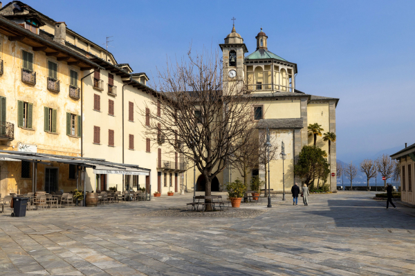
Santuario della Santissima Pieta'
A Renaissance pilgrimage church on the Cannobio lakefront, built after a bleeding-image miracle of 1522.
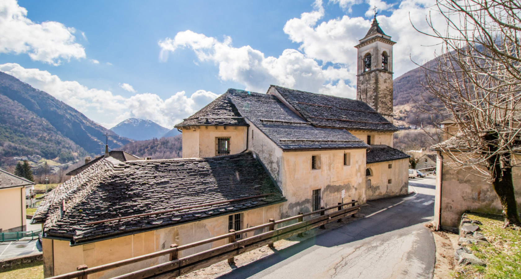
Chiesa Parrocchiale di Finero
10.4 km away, in Malesco
The church of Finero, a hamlet of Malesco below the Cannobina watershed.
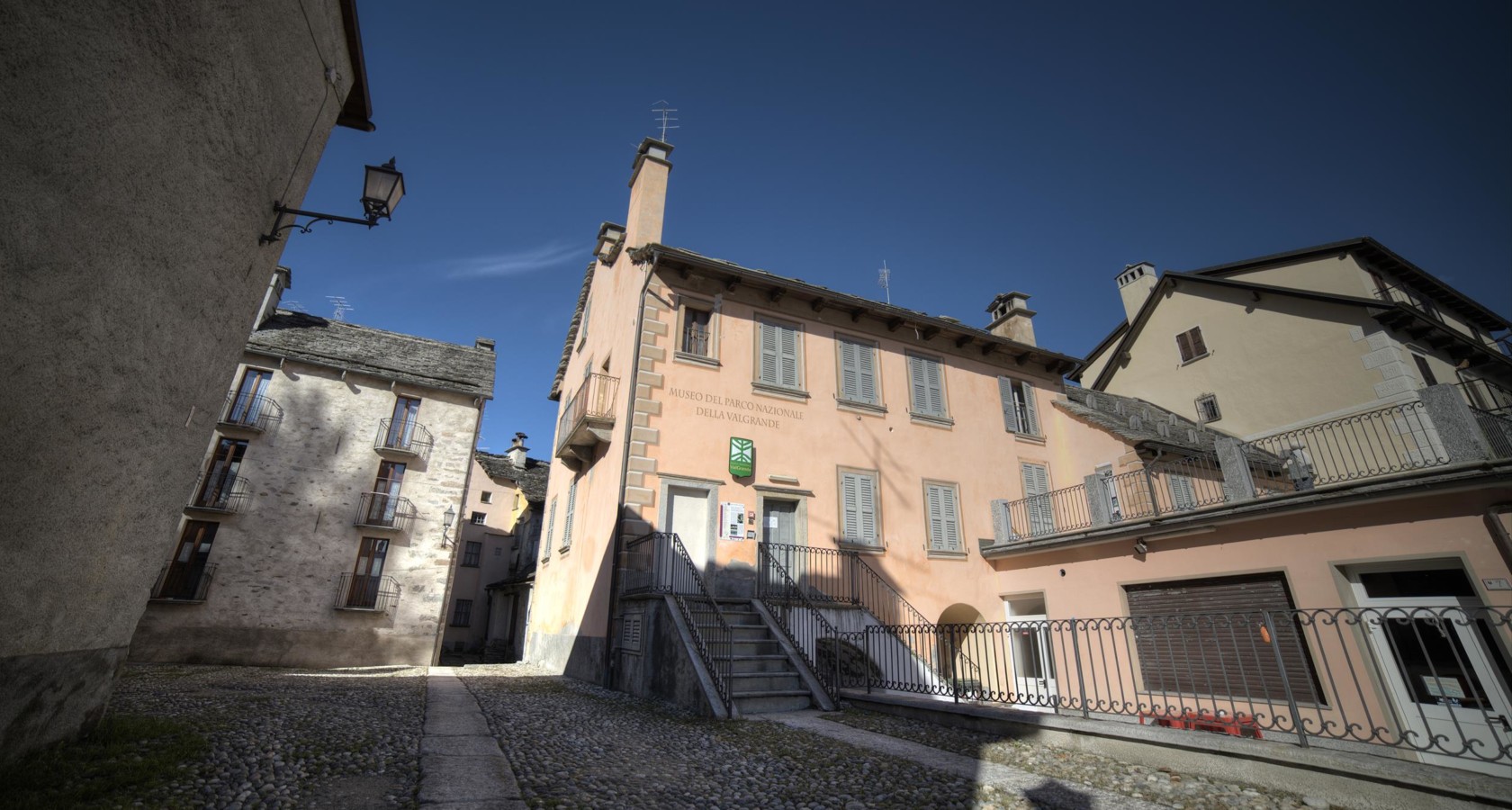
Archäologische Museum des Nationalparks Val Grande
13.7 km away, in Malesco
The Val Grande park's archaeological museum at Malesco, on settlement in Italy's largest wilderness.
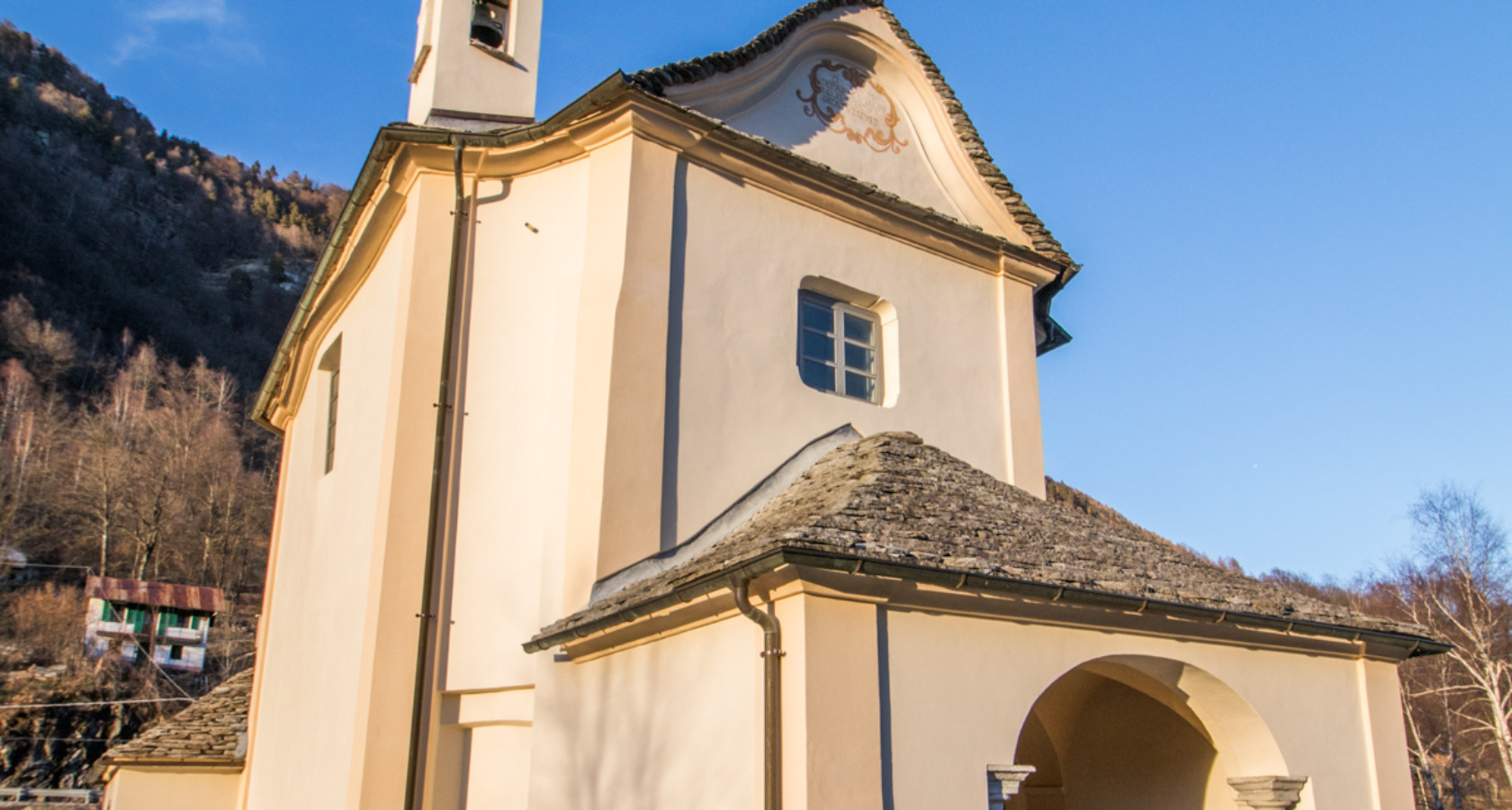
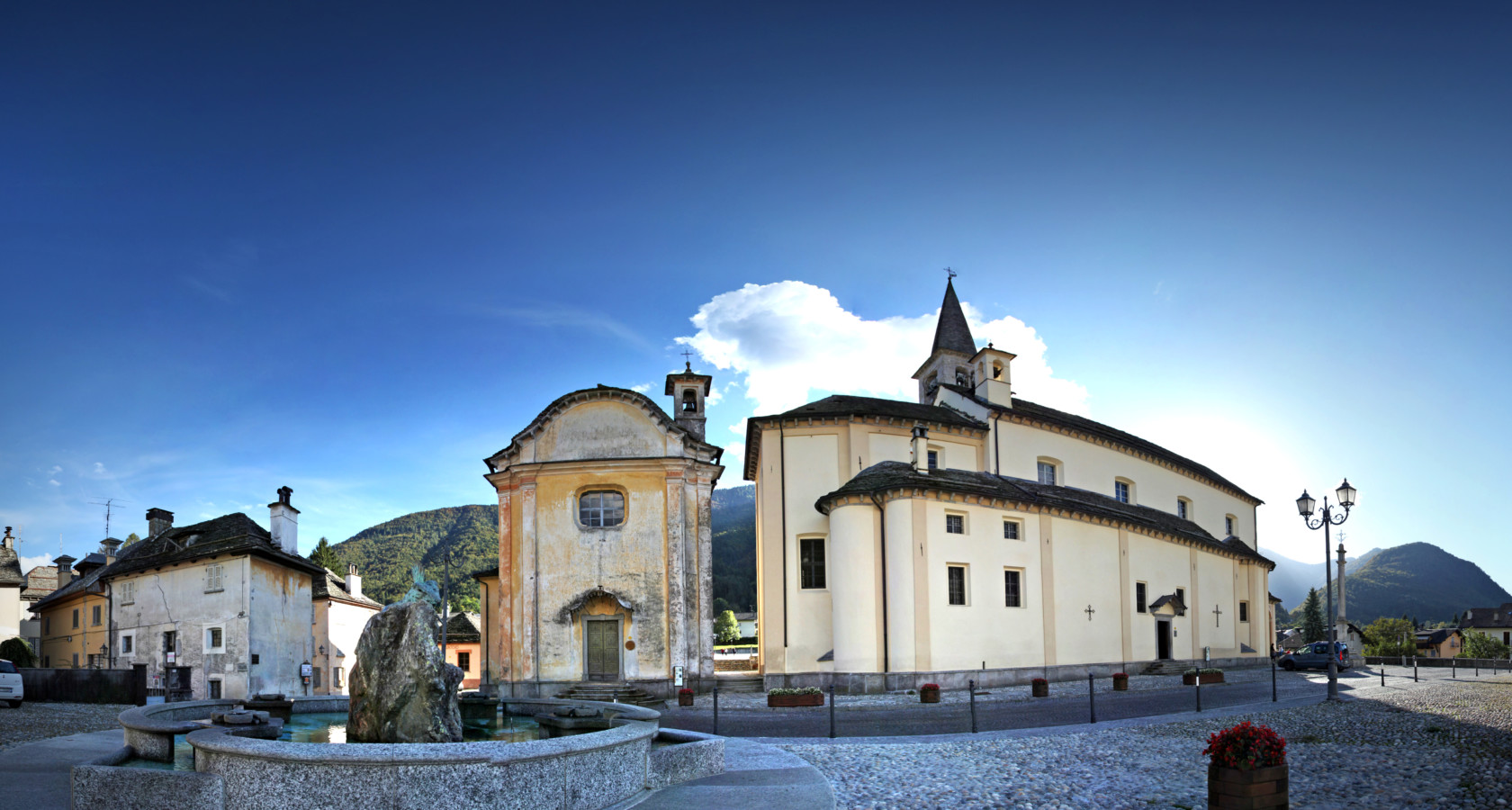
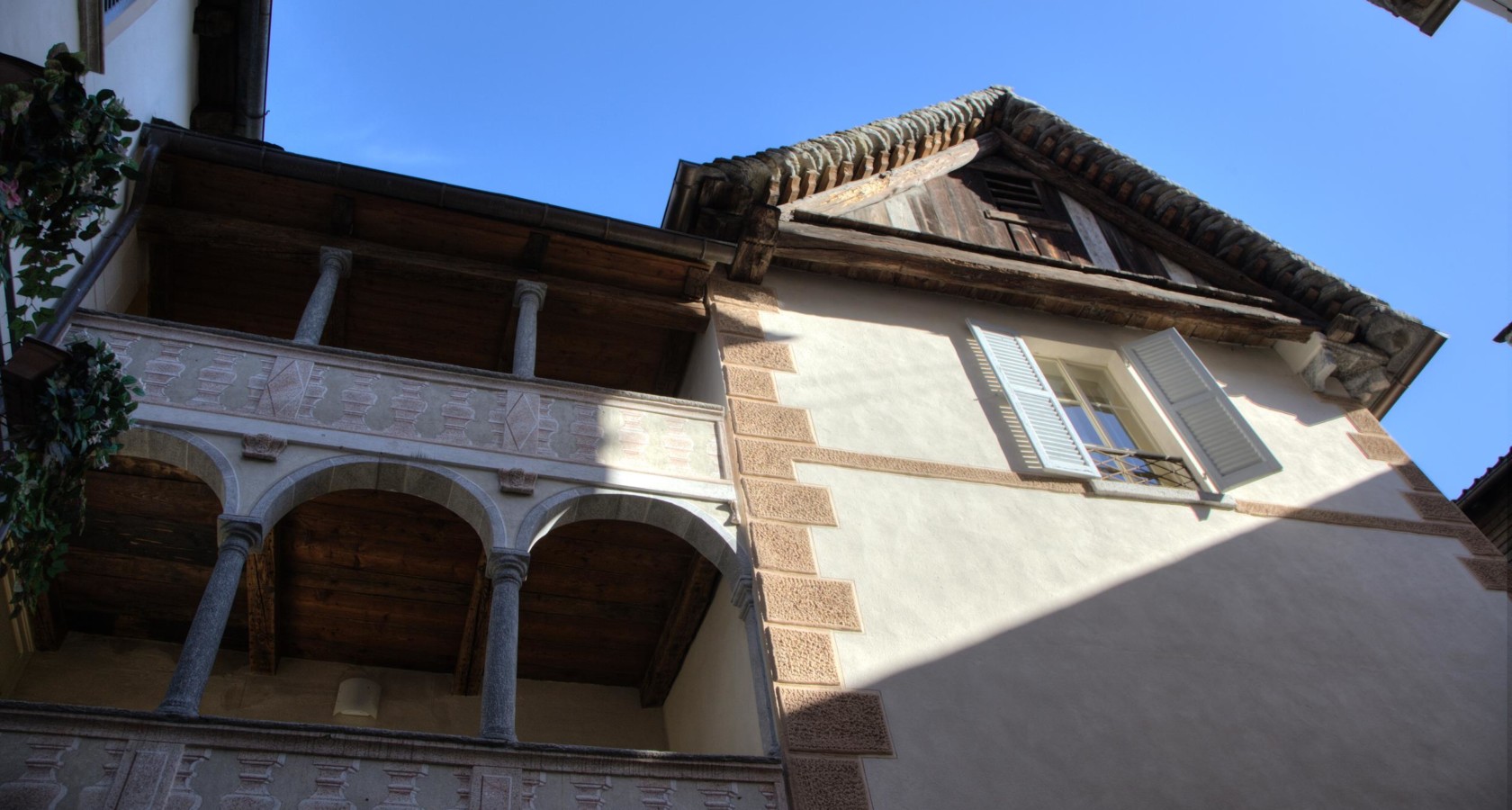
Complesso monumentale Piazza della Chiesa di Malesco
13.7 km away, in Malesco
Malesco's church square, its stone buildings grouped around the parish church.
Ökomuseum ed leuzerie e di scherpelit
13.9 km away, in Malesco
A Malesco ecomuseum on the quarrymen and slate-splitters who roofed the Val Vigezzo.
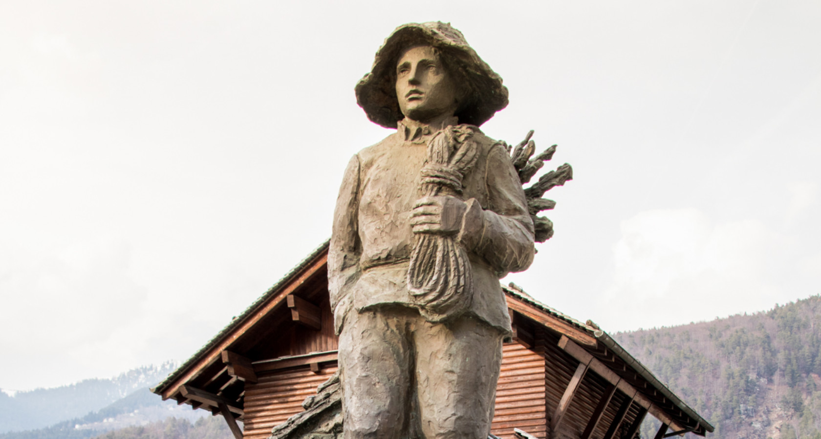
Monumento allo Spazzacamino
14 km away, in Malesco
A monument at Malesco to the chimney sweeps the Val Vigezzo sent across Europe.
 Historic site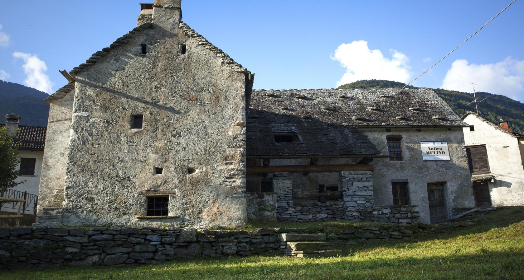
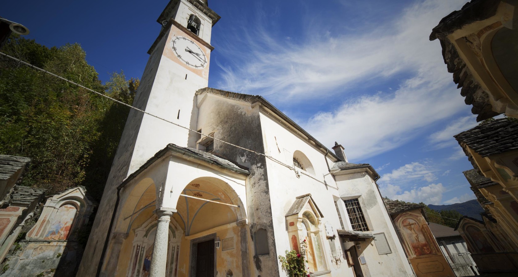
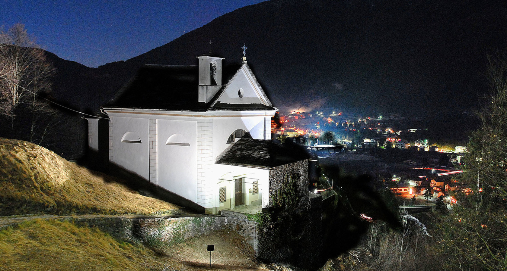
Nothing of this kind in Cannobio.
Routes
12 from neighbouring places
PERCORSO SLOW TREK
A slow-walking route climbing from Cannobio on Lake Maggiore towards Monte Giove.
- 8.7 km
- Distance
- 850 m
- Ascent
- 5 h 15 min
- Duration
- 10
- Check-ins
Circuito di San Carlo Tappa 1: Cannobio
The first stage of the San Carlo circuit, climbing out of Cannobio on Lake Maggiore into the Valle Cannobina.
- 13.5 km
- Distance
- 0 m
- Ascent
- 3 h 10 min
- Duration
- 1
- Check-ins
PERCORSO CICLABILE: Cannobio e l’Orrido di Sant’Anna
An easy valley ride from Lake Maggiore up the Val Cannobina, passing riverside campsites on the way to the gorge and its viewpoint.
- 10.3 km
- Distance
- 156 m
- Ascent
- 1 h 4 min
- Duration
- 1
- Check-ins
VIA DELLE GENTI Tappa 2: Cannero Rivera
The second stage of the Via delle Genti, running along the hillsides above Lake Maggiore towards Cannero Riviera.
- 13.8 km
- Distance
- 0 m
- Ascent
- 3 h 13 min
- Duration
- 1
- Check-ins
VIA BORROMEA Tappa 2: Orasso
A stage climbing inland from Cannobio past the gorge at the Orrido di Sant'Anna, heading up the valley towards Orasso.
- 16.0 km
- Distance
- 330 m
- Ascent
- 4 h 34 min
- Duration
- 1
- Check-ins
Via Borromea
A long-distance walk from the lakeshore at Cannobio, passing the Orrido di Sant'Anna and climbing steadily inland as far as Re.
- 25.2 km
- Distance
- 675 m
- Ascent
- 7 h 34 min
- Duration
- 1
- Check-ins
PERCORSO DEVOZIONALE: dal Lago Maggiore alla Valle Vigezzo attraverso la Valle Cannobina
The Via Borromea, the road taken by Carlo Borromeo in 1574, linking the Madonna della Pietà at Cannobio with the sanctuary of Re through the Cannobina valley.
- 26.3 km
- Distance
- 1 597 m
- Ascent
- 9 h 46 min
- Duration
PERCORSO MTB: Sulla Linea Cadorna dell'Alto Verbano
6.5 km away, in Oggebbio
A ride on the old Linea Cadorna military tracks above Lake Maggiore, by the Folungo pass and Pian Vadà.
- 29.6 km
- Distance
- 1 142 m
- Ascent
- 3 h 42 min
- Duration
- 24
- Check-ins
Circuito di San Carlo Tappa 2a: Falmenta-Cursolo
5 km away, in Valle Cannobina
A steep connecting leg between two villages of the Valle Cannobina, with 700 m of climbing on the slopes opposite Crealla.
- 6.3 km
- Distance
- 0 m
- Ascent
- 1 h 28 min
- Duration
Circuito di San Carlo Tappa 2: Falmenta
5 km away, in Valle Cannobina
A demanding stage in the steep-sided Valle Cannobina, gaining a thousand metres between hamlets and passing a viewpoint over Crealla.
- 11.9 km
- Distance
- 0 m
- Ascent
- 2 h 46 min
- Duration
Via geoalpina: tappa 1a piancavallo
7 km away, in Oggebbio
A long traverse stage above Oggebbio on the Verbano slope, crossing the Passo Folungo at nearly 1,400 m.
- 13.9 km
- Distance
- 470 m
- Ascent
- 4 h 25 min
- Duration
- 12
- Check-ins
VIA DELLE GENTI Tappa 1: Intra
5.2 km away, in Cannero Riviera
The first stage of the Via delle Genti, running from Intra along the slopes above Lake Maggiore towards Cannero Riviera.
- 17.1 km
- Distance
- 0 m
- Ascent
- 4 h
- Duration
- 4
- Check-ins
Via Geoalpina: Tappa 2 Rifugio di Pian Vadà
7.5 km away, in Aurano
A ridge stage above Aurano over Pizzo Marona and Pian Cavallone, crossing the Passo del Diavolo high above Lago Maggiore.
- 8.5 km
- Distance
- 370 m
- Ascent
- 2 h 55 min
- Duration
- 55
- Check-ins
Via Geoalpina: Tappa 1 Cursolo
7.7 km away, in Valle Cannobina
A long opening stage in the Valle Cannobina over Monte Barro, linking the Rifugio Monte Vecchio with the Rifugio del Pian Vadà.
- 19.5 km
- Distance
- 1 630 m
- Ascent
- 10 h 24 min
- Duration
- 10
- Check-ins
VIA BORROMEA Tappa 1: Re
11.3 km away, in Re
The opening stage of a waymarked pilgrim route in the Piemonte pre-Alps, a steady half-day of walking out of the village.
- 9.2 km
- Distance
- 345 m
- Ascent
- 2 h 60 min
- Duration
Via Geoalpina: Tappa 4 Alpe Pian di Boit
11.2 km away, in Miazzina
A steep stage of the Via Geoalpina above Miazzina, climbing to the Alpe Pian di Boit on the edge of the Val Grande.
- 9.6 km
- Distance
- 1 642 m
- Ascent
- 9 h 18 min
- Duration
- 21
- Check-ins
Via Geoalpina: Tappa 3 Alpe Curgei
12.6 km away, in Miazzina
A stage of the Via Geoalpina climbing above Miazzina to the Alpe Curgei, on the edge of the Val Grande wilderness.
- 10.8 km
- Distance
- 675 m
- Ascent
- 4 h 37 min
- Duration
- 4
- Check-ins
Trekking
13.9 km away, in Malesco
The climb to the Cima della Laurasca above Malesco, on the Vigezzo side of the Val Grande national park.
- 12.6 km
- Distance
- 998 m
- Ascent
- 6 h 27 min
- Duration
- 23
- Check-ins
Via Geoalpina: Tappa 5 Alpe Scaredi
14.3 km away, in Malesco
A stage of the Via Geoalpina from the Vigezzo valley up to the Alpe Scaredi, on the northern edge of the Val Grande.
- 12.1 km
- Distance
- 768 m
- Ascent
- 5 h 14 min
- Duration
- 18
- Check-ins


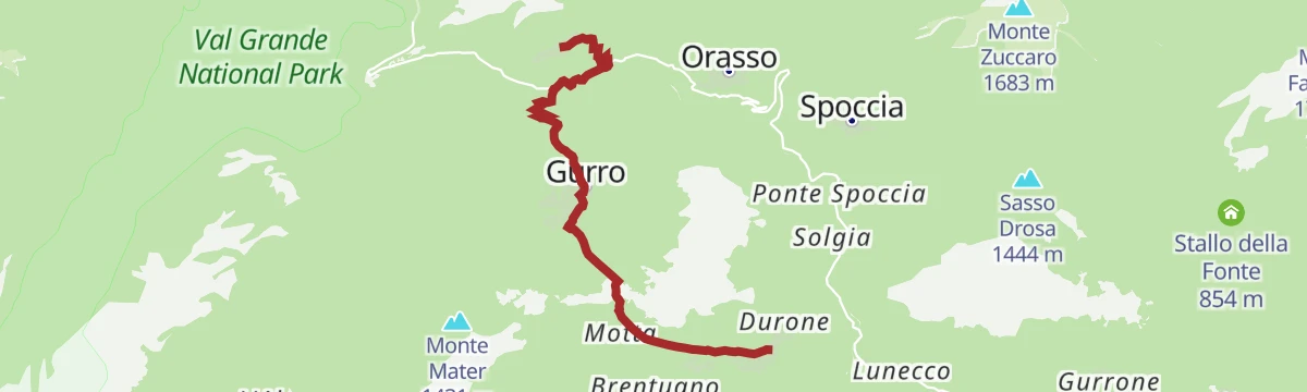


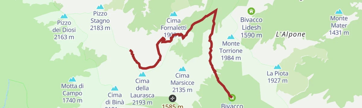
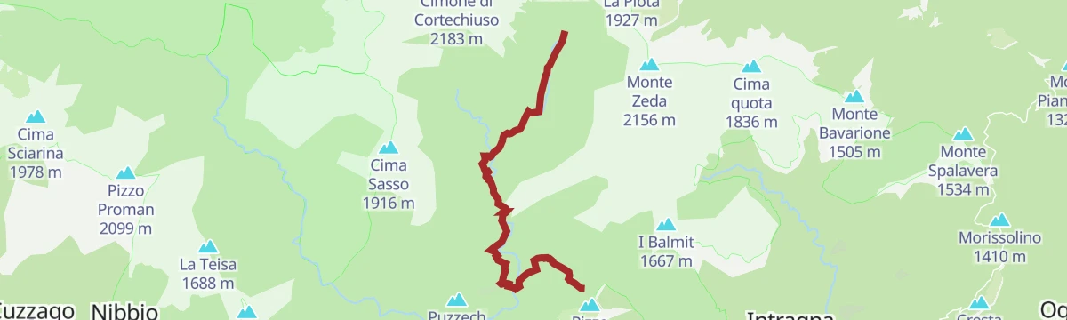

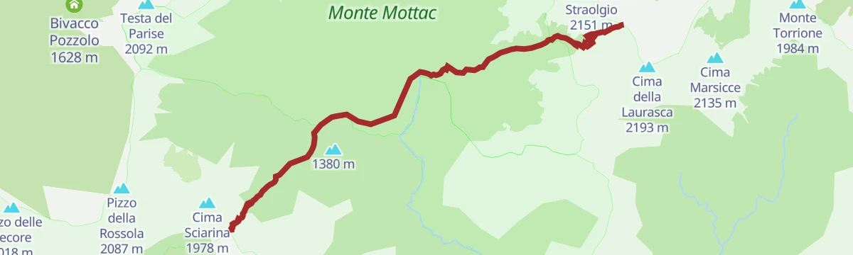
No routes of this kind in Cannobio yet.
The region's own picks

Featured route
PERCORSO SLOW TREK
A slow-walking route climbing from Cannobio on Lake Maggiore towards Monte Giove.
Planning a trip to Cannobio?
Everything else Piedmont has, in one place


Take Cannobio with you into the mountains
Every route on this page with 3D terrain, GPX navigation and offline maps — including the valleys with no signal.
Data sources
- Official website: distrettolaghi.it ↗
- Routes and highlights: Piemonte Outdoor, Visit Ossola, Distretto dei Laghi
- Published as open data by the tourist boards named above.
- Region summary generated from the board's own material.
