
 Viewpoint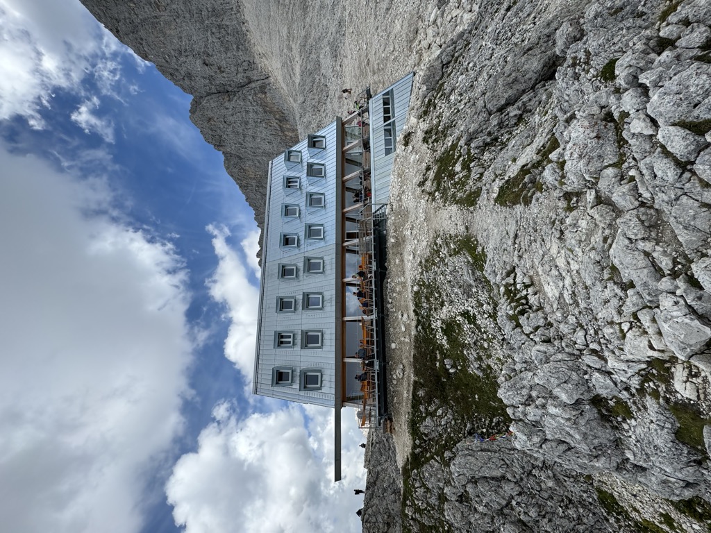









Curated by Sterzing, Pfitsch und Freienfeld
Campitello di Fassa
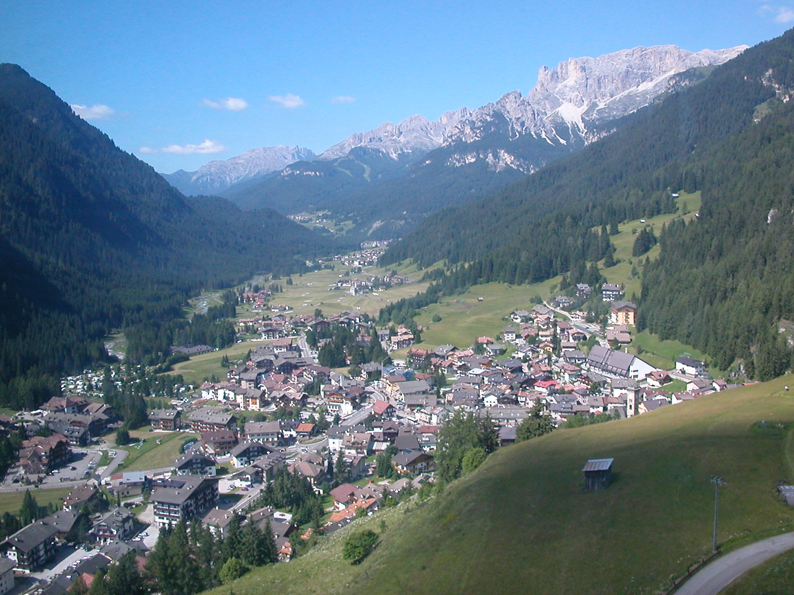
The smallest Val di Fassa village, at the foot of the Col Rodella between the Sassolungo and the Sella group.
Photo: Godromil · Public domain
- 3Highlights
- 24Routes
- Featured summit · Col Rodela
Highlights
12 from neighbouring places
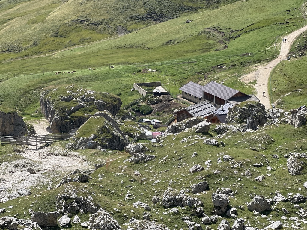
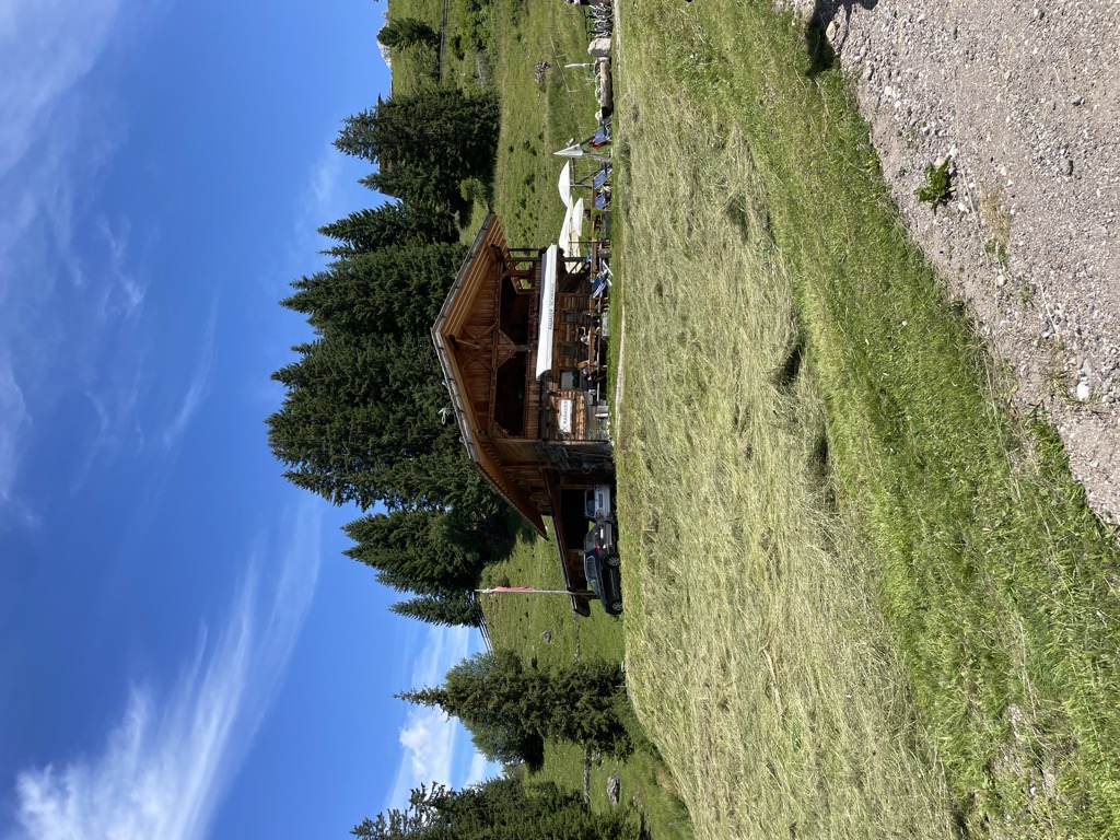
Caseificio malga Sassopiatto
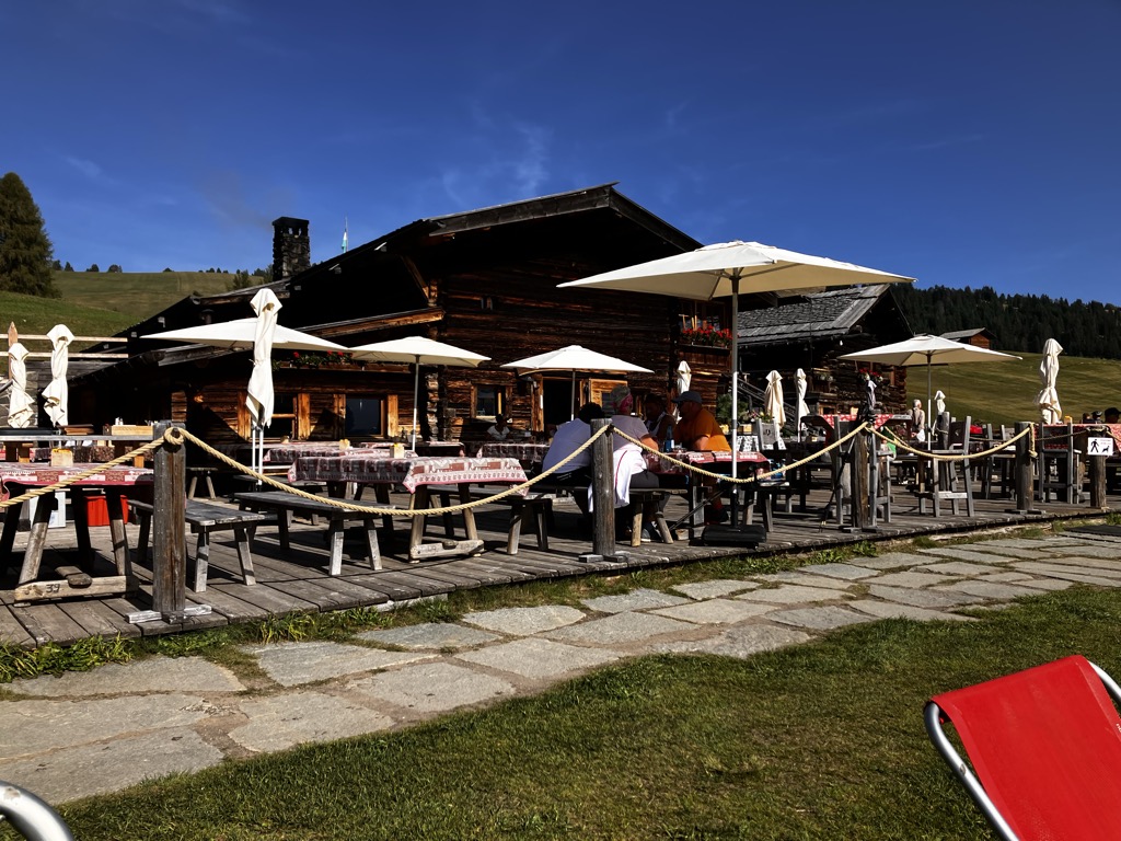
A dairy hut at 2,250 m below the Sasso Piatto above Campitello di Fassa, rebuilt in 2016 and serving cheese from its own creamery.
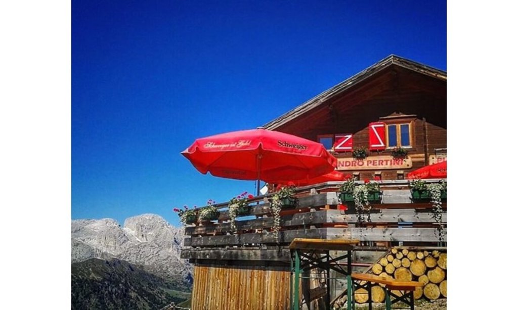
Rifugio Sandro Pertini
A hut at 2,300 m on the open meadows below the Sassolungo, 40 minutes from the Col Rodella top station and on the Alta Via delle Dolomiti n. 9.
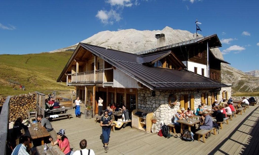
Rifugio Sasso Piatto
A hut at 2,300 m under the Sasso Piatto on the Campitello di Fassa side of the Sassolungo, its kitchen built on South Tyrolean dishes and home-smoked speck.
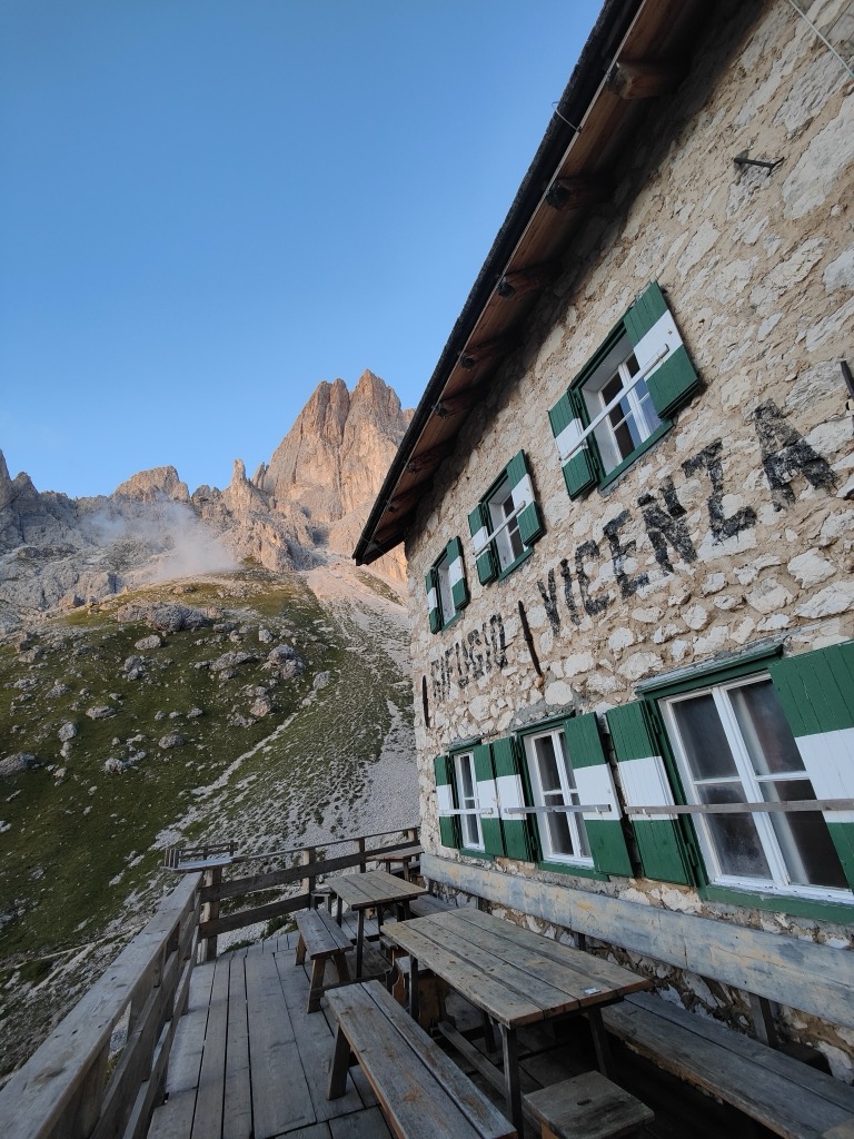
DolomitiRifugio Vicenza
3.9 km away, in Santa Cristina Valgardena/St. Christina in Gröden
A hut at 2,253 m in the heart of the Sassolungo group, below the Oskar Schuster via ferrata, with home-made dishes served through the day.
Sterzing, Pfitsch und FreienfeldRifugio Molignon
4.2 km away, in Castelrotto/Kastelruth
A hut at 2,059 m on the Alpe di Siusi above Castelrotto, cooking Tyrolean Geröstl with smoked speck and apple strudel straight from the oven.
Sterzing, Pfitsch und FreienfeldMalga Tirler
4.3 km away, in Castelrotto/Kastelruth
A mountain restaurant at 1,743 m at Saltria on the Alpe di Siusi, with a terrace, an outdoor playground and e-bike charging.
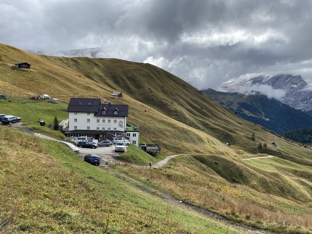
Rifugio Carlo Valentini
4.8 km away, in Canazei
A hut at 2,203 m with restaurant and terrace on Streda Sella above Canazei, on the road climbing from the head of the Val di Fassa to the Passo Sella.
Caseificio Malga Saltner Saltria
5 km away, in Castelrotto/Kastelruth
A dairy hut at 1,740 m at Saltria on the Alpe di Siusi, open from early December to Easter and again from Whitsun to mid-October.
Malga Radauer
5.1 km away, in Castelrotto/Kastelruth
A hut at 1,686 m on the Alpe di Siusi, five minutes from the Saltria bus stop and beside the valley station of the Florian chairlift, open summer and winter.
Sterzing, Pfitsch und FreienfeldRifugio Re Alberto 1°
6.7 km away, in Tires/Tiers
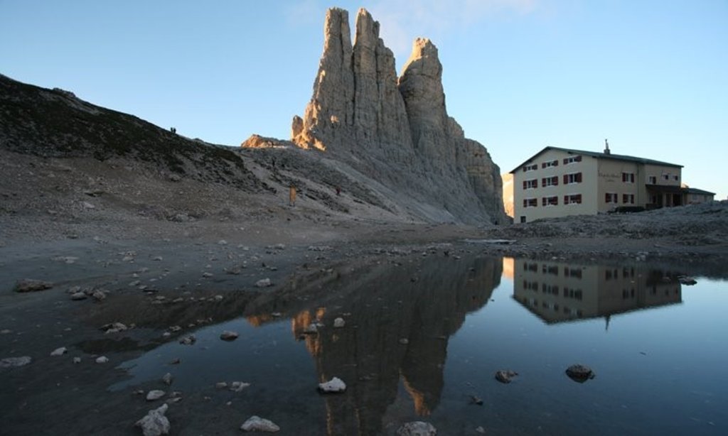
A hut at 2,621 m in the Catinaccio group, known in German as the Gartlhütte and reached by the Passo Santner via ferrata from Pera di Fassa.
Catinaccio
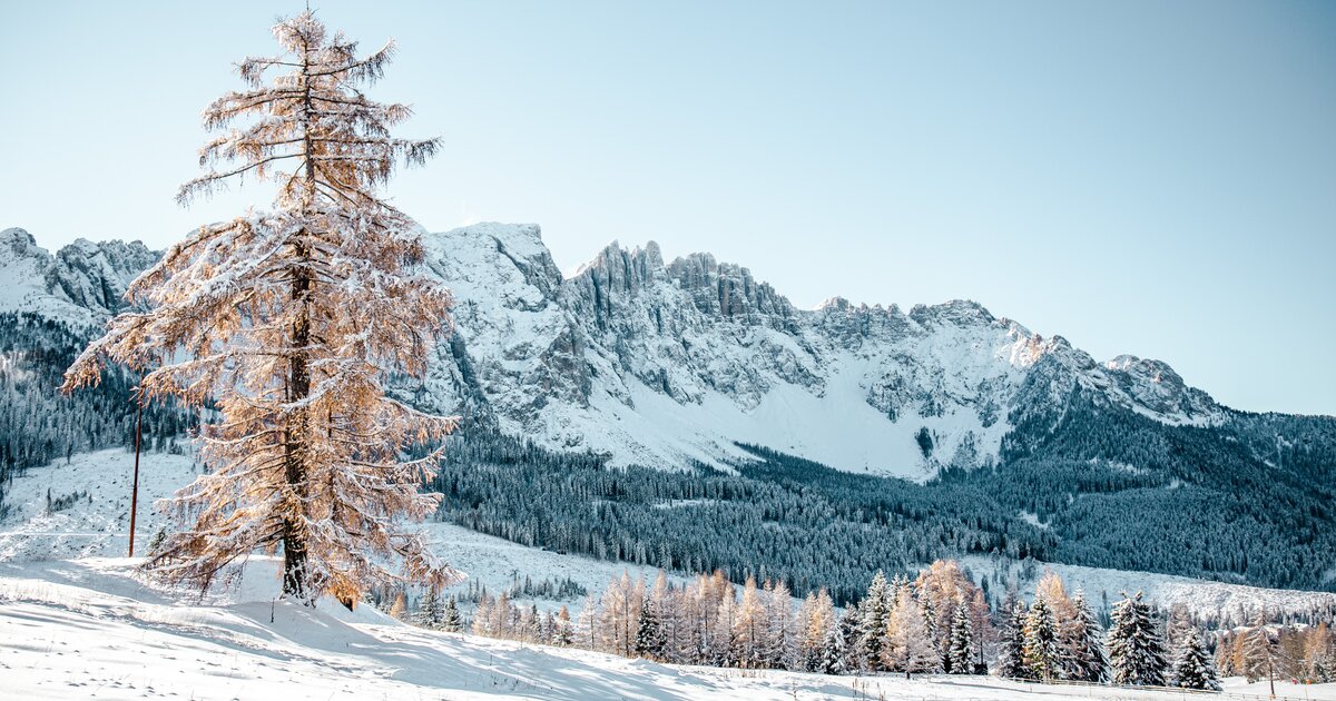
7.1 km away, in Tires/Tiers
The dolomite massif of the Catinaccio, or Rosengarten, seen from Tires in the Val d'Ega; its walls redden in the evening light.
rifugio Passo Santner
7.2 km away, in Tires/Tiers
A hut at 2,734 m at the Passo Santner in the Catinaccio, at the top of the via ferrata over the pass above Tires.
Sanonhütte
7.3 km away, in Castelrotto/Kastelruth
One of the most traditional huts on the Alpe di Siusi, at 1,851 m above Castelrotto, run as a family house and reached on foot or by mountain bike.
Sterzing, Pfitsch und FreienfeldMalga Gostner
7.4 km away, in Castelrotto/Kastelruth
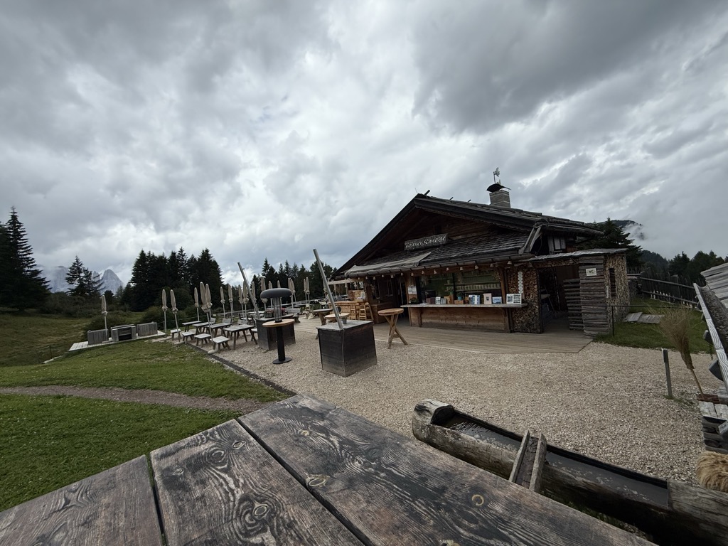
A dairy hut at 1,911 m on the Alpe di Siusi making its own cheese, about 30 minutes up path 3 from Compaccio, with hay soup served in a bread crust.
Malga Gostner Schwaige
7.4 km away, in Castelrotto/Kastelruth
A pasture hut at 1,911 m on the Alpe di Siusi above Castelrotto, on the meadows along the way from Compaccio towards Saltria.
Nothing of this kind in Campitello di Fassa.
Routes
Via Ferrata Oskar Schuster
Steep walls and rocky cirques lead to the 2,958 m top of the Sasso Piatto, with a descent by the normal route and the path back to Passo Sella.
- 14.2 km
- Distance
- 1 411 m
- Ascent
- 11 h
- Duration
- 1703
- Check-ins
 Sasplat - Plattkofel - Sasso Piatto 2 958 m
 Rifugio Federico Augusto 2 300 m
- Rifugio Salei 2 225 m
- Rifugio Sandro Pertini 2 300 m
 Jeuf de Fascia - Giogo di Fassa 2 297 m
- Plattkofelhütte - Rifugio Sasso Piatto 2 300 m
- +9
Open route Sterzing, Pfitsch und FreienfeldRodella (Col Rodella)
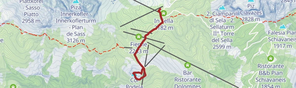
A short and varied via ferrata, protected the whole way, climbing above Passo Sella with the Val di Fassa spread out below.
- 4.8 km
- Distance
- 344 m
- Ascent
- 2 h 55 min
- Duration
- 872
- Check-ins
- Col Rodela 2 484 m
- Falesia Col Rodella 2 384 m
- Rifugio Salei 2 225 m
- L'Angolino del Sella 2 179 m
- In Sella 2 182 m
- Baita Miara Hütte 2 268 m
- +5
Open route Sterzing, Pfitsch und FreienfeldVia ferrata Laurenzi
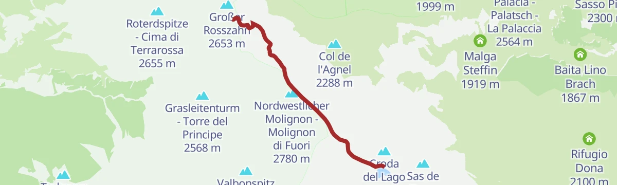
One of the most technical ferratas in the Dolomites, along the Molignon crest with a very narrow airy section, facing the Sassolungo, Sella and Val Duron.
- 3.4 km
- Distance
- 600 m
- Ascent
- 4 h 3 min
- Duration
- 234
- Check-ins
- Molignon di Dentro 2 852 m
- Nordwestlicher Molignon - Molignon di Fuori 2 780 m
- Molignonspitze - Molignon di Mezzo 2 847 m
- Tierser Alpl Hütte - Rifugio Alpe di Tires 2 440 m
 Lago di Antermoia - Lech de Antermoa 2 493 m
- Passo Alpe di Tires - Tierser Alpl Joch 2 440 m
Open route Sterzing, Pfitsch und FreienfeldBetween meadows, natural river springs and eruptive rocks
An easy loop at Campitello over the Duron stream's alluvial fan, where volcanic and Dolomite rock meet.
- 3.3 km
- Distance
- 31 m
- Ascent
- 52 min
- Duration
- 38
- Check-ins
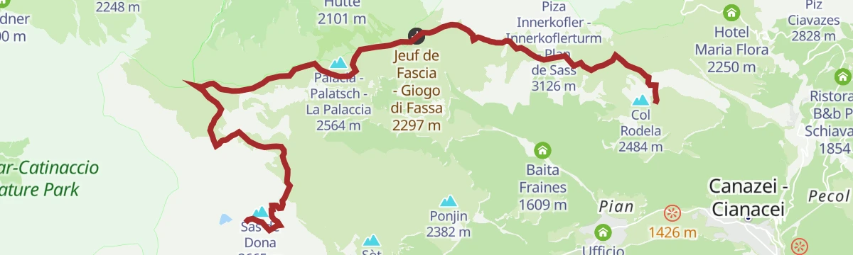
Open route APT Val di FassaStage 4a Dolomiti Trek King - At the foot of Sassolungo
From the Sandro Pertini hut along the base of the Sassolungo towers to the Giogo di Fassa and the Sasso Piatto hut, then down into the Val Duron.
- 12.3 km
- Distance
- 797 m
- Ascent
- 4 h 57 min
- Duration
- 794
- Check-ins
- Rifugio Sandro Pertini 2 300 m
- Jeuf de Fascia - Giogo di Fassa 2 297 m
- Plattkofelhütte - Rifugio Sasso Piatto 2 300 m
- Rifugio Antermoia 2 497 m
- Malga Sasso Piatto 2 250 m
- Passo Dona 2 516 m
- +4
Open route APT Val di FassaCiampedie - Gardeccia - Principe Pass - Antermoia Refuge - Val Duron - Campitello
A crossing from Gardeccia up the upper Vajolet valley to the Passo Principe hut, over to the Antermoia hut and down the Val Duron to Campitello.
- 18.5 km
- Distance
- 950 m
- Ascent
- 7 h 56 min
- Duration
- 2126
- Check-ins
- Rifugio Vajolet 2 243 m
- Rifugio Paul Preuss 2 243 m
- Rifugio Gardeccia 1 949 m
- Rifugio Stella Alpina 1 959 m
- Rifugio Antermoia 2 497 m
- Rifugio Ciampedie 1 998 m
- +16
Open route APT Val di FassaIcarus - Fassa Bike Park
A groomed flow line off Col Rodella, running past Rifugio Des Alpes on fast banked turns to the grassy saddle by Rifugio Salei.
- 1.2 km
- Distance
- 0 m
- Ascent
- 9 min
- Duration
- 268
- Check-ins
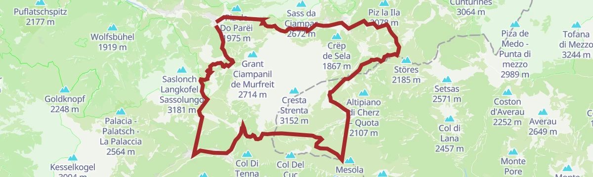
Open route APT Val di FassaSellaronda MTB tour - clockwise
The clockwise way round the Sella massif, over the Pordoi and Gardena passes, the longer of the two directions.
- 67.7 km
- Distance
- 4 187 m
- Ascent
- 10 h 55 min
- Duration
- 3886
- Check-ins
- Piz Bioch 2 079 m
- Pralongiá 2 137 m
- Jouf de Pordoi - Passo Pordoi - Pordoijoch 2 239 m
- Rifugio Salei 2 225 m
- Gardena Pass 2 121 m
- Bar Funivia 2 240 m
- +56
Open route Alta Badia Tourism CooperativeSellaronda
The four-pass Dolomite circuit ridden from Predazzo, over Passo Pordoi, the Sella Pass and the Gardena Pass around the Sella massif.
- 116.2 km
- Distance
- 2 555 m
- Ascent
- 12 h 43 min
- Duration
- 2454
- Check-ins
- Val Dantermont 1 728 m
- Jouf de Pordoi - Passo Pordoi - Pordoijoch 2 239 m
- Gardena Pass 2 121 m
- Bar Funivia 2 240 m
- L'Angolino del Sella 2 179 m
- In Sella 2 182 m
- +44
Open route APT Fiemme CembraCanazei - Soronch - Campitello
A flat riverside walk from Canazei along the Avisio to the Soronch clearing and Campitello, with a parallel paved line better suited to pushchairs.
- 4.5 km
- Distance
- 31 m
- Ascent
- 1 h 8 min
- Duration
- 29
- Check-ins
Open route APT Val di FassaStage 2 Dolomiti Trek King in autumn - Sassopiatto
An autumn stage between the Antermoia and Sasso Piatto huts, following the last of the Val Duron and crossing the Passo Dona on the way.
- 9.9 km
- Distance
- 448 m
- Ascent
- 3 h 47 min
- Duration
- 563
- Check-ins
- Jeuf de Fascia - Giogo di Fassa 2 297 m
- Plattkofelhütte - Rifugio Sasso Piatto 2 300 m
- Rifugio Antermoia 2 497 m
- Passo Dona 2 516 m
- Passo delle Ciaresole 2 282 m
- Jëuf da Duron - Mahlknechtjoch - Passo Duron 2 204 m
- +2
Open route APT Val di FassaStage 3 Dolomiti Trek King in autumn - Sassolungo
The closing stage of the Dolomiti Trek King, from the Sasso Piatto hut down to Canazei below the Sassolungo, by the City of Stones and the Val Salei.
- 16.2 km
- Distance
- 471 m
- Ascent
- 5 h 50 min
- Duration
- 1100
- Check-ins
- Hochegge 2 106 m
- Emilio-Comici-Hütte - Rifugio Emilio Comici 2 153 m
- Rifugio Salei 2 225 m
- Jeuf de Fascia - Giogo di Fassa 2 297 m
- Plattkofelhütte - Rifugio Sasso Piatto 2 300 m
- L'Angolino del Sella 2 179 m
- +5
Open route APT Val di Fassa254 Accesso al Rifugio Alpe di Tires
A short and very steep spur up to the Tierser Alpl Joch at 2,440 m, reaching the hut set among the rocks of the Denti di Terrarossa.
- 1.9 km
- Distance
- 300 m
- Ascent
- 26 min
- Duration
- 149
- Check-ins
Open route Seis am Schlern"Sellaronda" MTB Tour TIMETABLE
A lift-assisted circuit of the Sella group, taking the Pordoi, Gardena and Campolongo passes and the trails between them.
- 62.5 km
- Distance
- 4 136 m
- Ascent
- 10 h 36 min
- Duration
- 3847
- Check-ins
- Piz Bioch 2 079 m
- Pralongiá 2 137 m
- Piz Arlara 2 015 m
- Jouf de Pordoi - Passo Pordoi - Pordoijoch 2 239 m
- Rifugio Salei 2 225 m
- Gardena Pass 2 121 m
- +55
Open route Arabba Fodom TurismoFiemme and Fassa Dolomites cycle route
A surfaced valley cycle path linking the Val di Fiemme with the Val di Fassa, running up to Canazei with a summer bike shuttle.
- 47.4 km
- Distance
- 710 m
- Ascent
- 4 h 38 min
- Duration
- 281
- Check-ins
- Baita Al Parco 1 438 m
- Azienda Turistica 1 307 m
- Park Hotel Faloria 1 453 m
- Ufficio Turistico APT Fassa 1 374 m
- Baita Ischia 1 412 m
- Bici Grill Moena 1 147 m
- +7
Open route APT Fiemme CembraAt Pian, in the footsteps of Ladin culture
A climb to Pian above Campitello past old haylofts, painted house fronts, stone paths and the domed ovens that baked bread to keep for weeks.
- 5.4 km
- Distance
- 279 m
- Ascent
- 2 h 2 min
- Duration
- 26
- Check-ins
Open route APT Val di FassaCampitello - Val Duron
A long day from the square at Campitello up through the hamlet of Pian and on by dirt road into the Val Duron.
- 20.6 km
- Distance
- 779 m
- Ascent
- 6 h 46 min
- Duration
- 294
- Check-ins
- Rifugio Micheluzzi 1 860 m
- Baita Lino Brach 1 867 m
- Baita Fraines 1 609 m
- Jëuf da Duron - Mahlknechtjoch - Passo Duron 2 204 m
- Malga Docoldaura 2 046 m
- Malga Steffin 1 919 m
Open route APT Val di Fassa282 Tour della Val Duron in senso antiorario
A demanding technical circuit right around the Sassolungo and Sassopiatto, linking Rifugio Emilio Comici, Rifugio Salei and Rifugio Micheluzzi.
- 41.1 km
- Distance
- 1 867 m
- Ascent
- 5 h 25 min
- Duration
- 1664
- Check-ins
- Emilio-Comici-Hütte - Rifugio Emilio Comici 2 153 m
- Rifugio Salei 2 225 m
- L'Angolino del Sella 2 179 m
- In Sella 2 182 m
- Baita Miara Hütte 2 268 m
- Carlo Valentini Hut 2 203 m
- +23
Open route Seis am SchlernDolomites Cycle & Footpath in the Fiemme and Fassa Valleys
A nearly level path for bikes and walkers between the Fiemme and Fassa valleys, through meadow, forest and village.
- 49.1 km
- Distance
- 27 m
- Ascent
- 4 h 37 min
- Duration
- 244
- Check-ins
- Baita Al Parco 1 438 m
- Azienda Turistica 1 307 m
- Park Hotel Faloria 1 453 m
- Bici Grill Moena 1 147 m
- Pensione Villa Paola 1 484 m
- Maso Rosè 1 249 m
- +6
Open route APT Val di FassaThe rediscovered past: between ancient cabins and restored barns
A walk to Pian, an old village of farmers and shepherds, with the Sassolungo opposite and a Ladin tale of giants attached to it.
- 6.2 km
- Distance
- 143 m
- Ascent
- 1 h 48 min
- Duration
- 25
- Check-ins
Open route APT Val di FassaTorrente Avisio A - Val di Fassa
A long route up the Avisio through the Fassa valley, from Soraga towards the head of the valley.
- 25.0 km
- Distance
- 911 m
- Ascent
- 7 h 21 min
- Duration
- 115
- Check-ins
Open route Trentino FishingCampitello (Col Rodella) - Friedrich August Weg - Duron Pass - Val Duron - Campitello
A lift-assisted ride that traverses the lower slopes below Sasso Piatto to the grassy Giogo di Fassa saddle, then descends past Rifugio Micheluzzi.
- 19.4 km
- Distance
- 253 m
- Ascent
- 2 h 18 min
- Duration
- 1123
- Check-ins
- Rifugio Federico Augusto 2 300 m
- Rifugio Sandro Pertini 2 300 m
- Jeuf de Fascia - Giogo di Fassa 2 297 m
- Plattkofelhütte - Rifugio Sasso Piatto 2 300 m
- Rifugio Micheluzzi 1 860 m
- Rifugio Des Alpes 2 387 m
- +8
Open route APT Val di FassaStage 4 Dolomiti Trek King - At the foot of Sassolungo
From Col Rodella on the Friedrich August path below Punta Grohmann and Sasso Piatto to the Giogo di Fassa, then over the Siusi ridge to Passo Duron.
- 15.4 km
- Distance
- 819 m
- Ascent
- 2 h 8 min
- Duration
- 1108
- Check-ins
- Rifugio Federico Augusto 2 300 m
- Rifugio Sandro Pertini 2 300 m
- Jeuf de Fascia - Giogo di Fassa 2 297 m
- Plattkofelhütte - Rifugio Sasso Piatto 2 300 m
- Rifugio Antermoia 2 497 m
- Rifugio Des Alpes 2 387 m
- +7
Open route APT Val di Fassa423 Sciliar-Catinaccio Ronda in senso orario
A big circumnavigation of the Sciliar and Catinaccio massifs, crossing the Passo Duron and touching the Val di Fassa and the Val d'Ega.
- 79.4 km
- Distance
- 2 524 m
- Ascent
- 9 h 26 min
- Duration
- 768
- Check-ins
- Rifugio Micheluzzi 1 860 m
- Baita Lino Brach 1 867 m
- Baita Fraines 1 609 m
- Jëuf da Duron - Mahlknechtjoch - Passo Duron 2 204 m
- Edelweiss Hütte 2 042 m
- Mahlknecht Hütte - Rifugio Molignon 2 059 m
- +37
Open route Seis am Schlern
No routes of this kind in Campitello di Fassa yet.
The region's own picks
Featured route
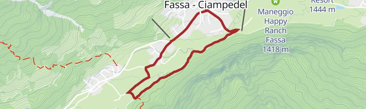
Between meadows, natural river springs and eruptive rocks
An easy loop at Campitello over the Duron stream's alluvial fan, where volcanic and Dolomite rock meet.
Planning a trip to Campitello di Fassa?
Everything else Trentino-Alto Adige/Südtirol has, in one place


Take Campitello di Fassa with you into the mountains
Every route on this page with 3D terrain, GPX navigation and offline maps — including the valleys with no signal.
Data sources
- Official website: fassa.com ↗
- Routes and highlights: Sterzing, Pfitsch und Freienfeld, APT Val di Fassa, Seis am Schlern, Val Gardena, YesAlps, APT Fiemme Cembra, Dolomiti, Alta Badia Tourism Cooperative, Arabba Fodom Turismo, Trentino Fishing
- Published as open data by the tourist boards named above.
- Region summary generated from the board's own material.
