

 Historic site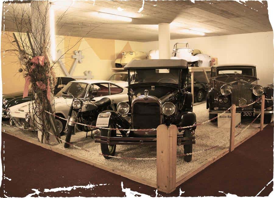


Curated by Zell am See-Kaprun Tourismus
Bruck an der Großglocknerstraße
Where the Großglockner-Hochalpenstraße leaves the Salzach valley to begin its climb south, a Pinzgau crossroads village below the grassy dome of the Hundstein.
- 3Highlights
- 18Routes
- Featured summit · Hundstein
Highlights
12 from neighbouring places
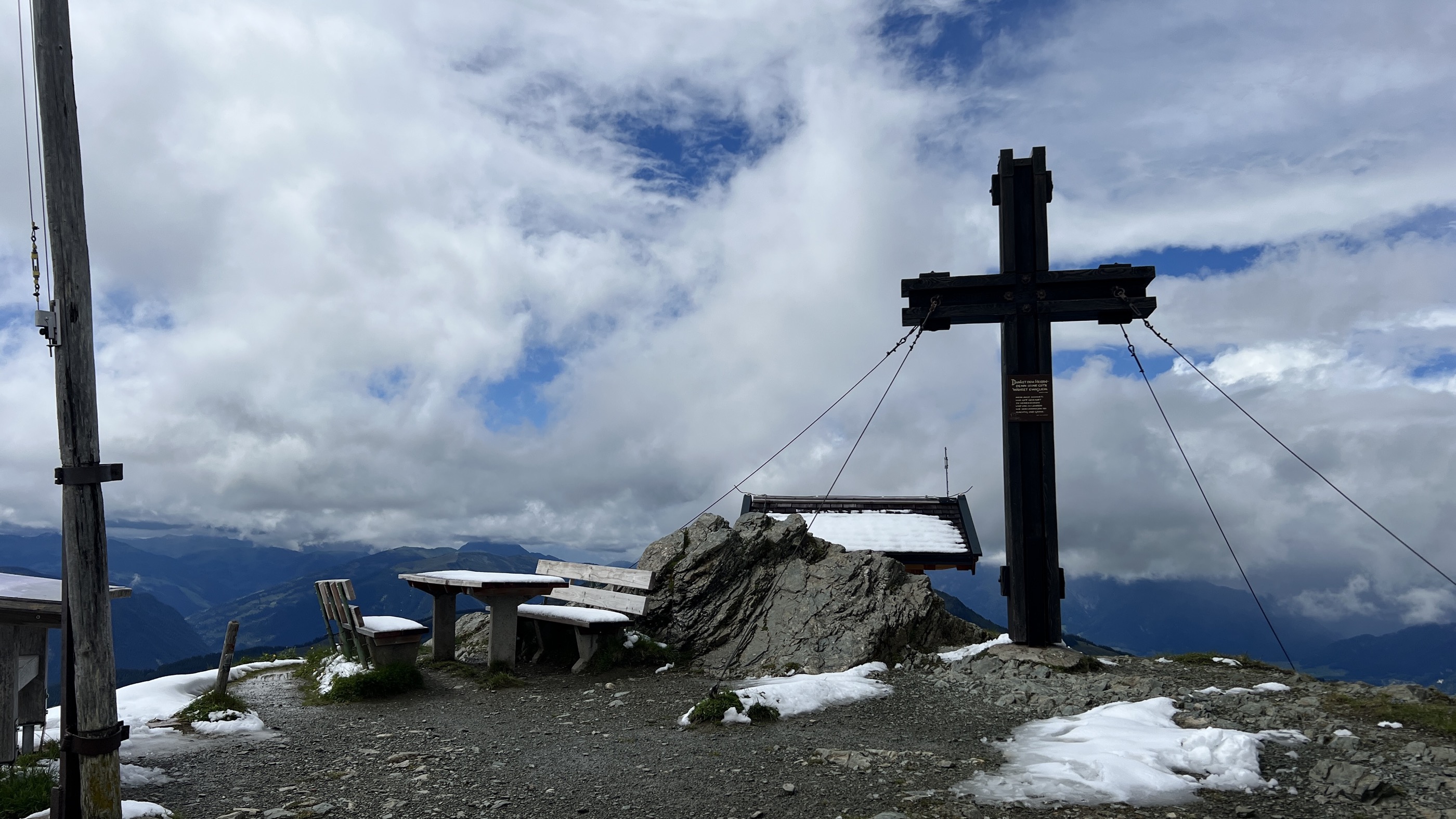
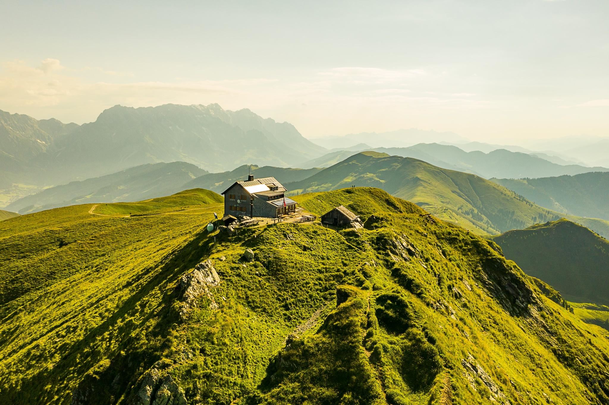
Statzerhaus am Hundstein 2.117 m
A refuge on the summit of the Hundstein at 2,117 m above Maria Alm, with wide views over the Pinzgau and simple Austrian food.
Bogenpark Kohlschnait
An archery park at Kohlschnait above Bruck an der Glocknerstraße in the Pinzgau.
Rodelbahn Kohlschnait Bruck
A toboggan run at Kohlschnait above Bruck an der Glocknerstraße, used for sledging in winter.
Bergführer Zell am See-Kaprun
4.6 km away, in Zell am See
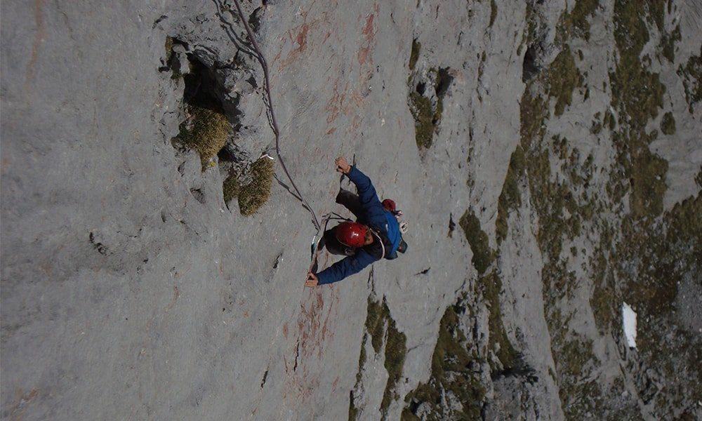
The mountain guide office for Zell am See-Kaprun, arranging guided climbs, via ferrata outings and glacier tours in the region.
SkulpturPark
5.8 km away, in Zell am See
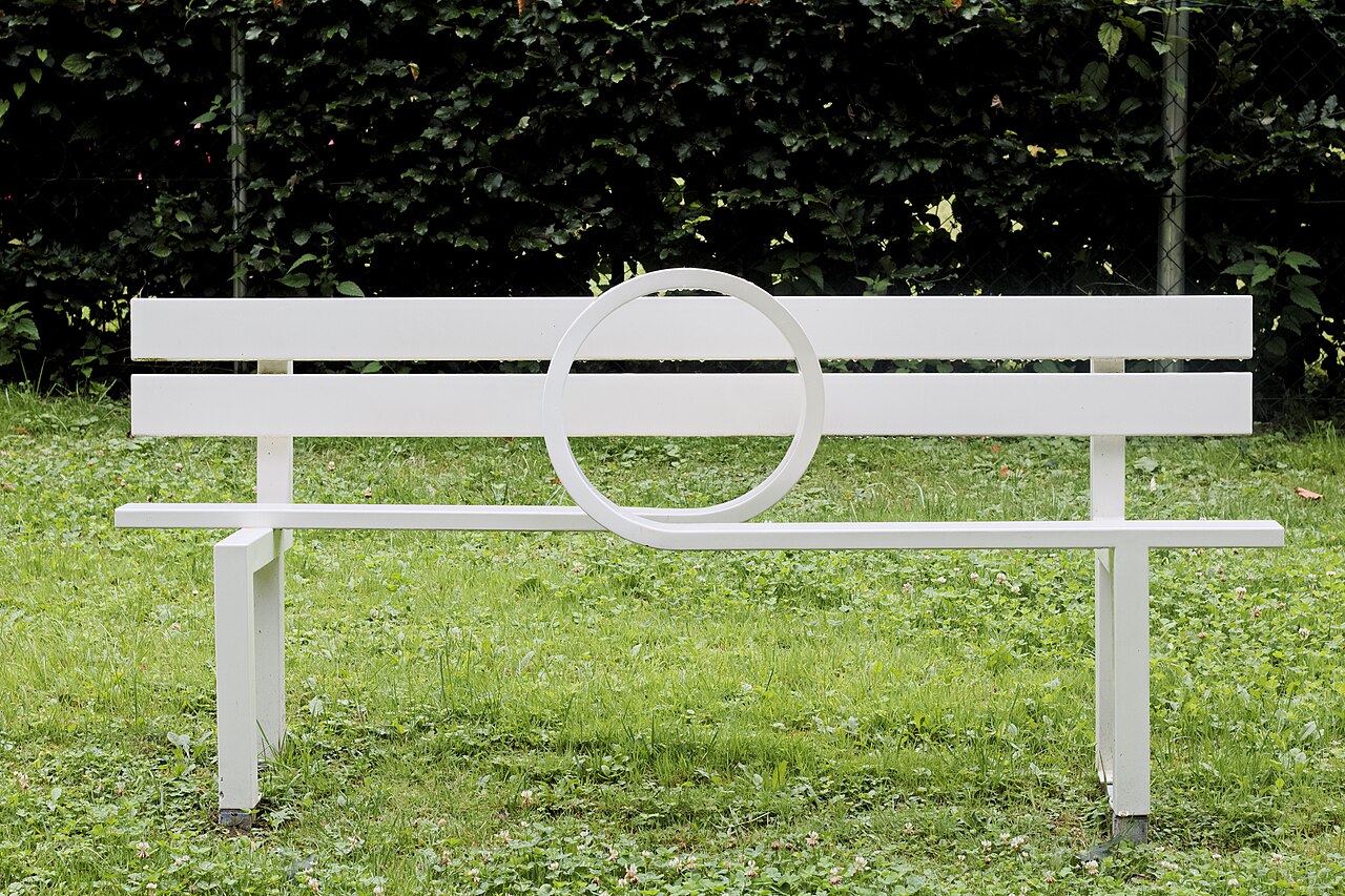
An open-air sculpture park at Thumersbach on Lake Zell, showing contemporary works in a quiet lakeside setting.
Schifffahrt am Zeller See
5.8 km away, in Zell am See
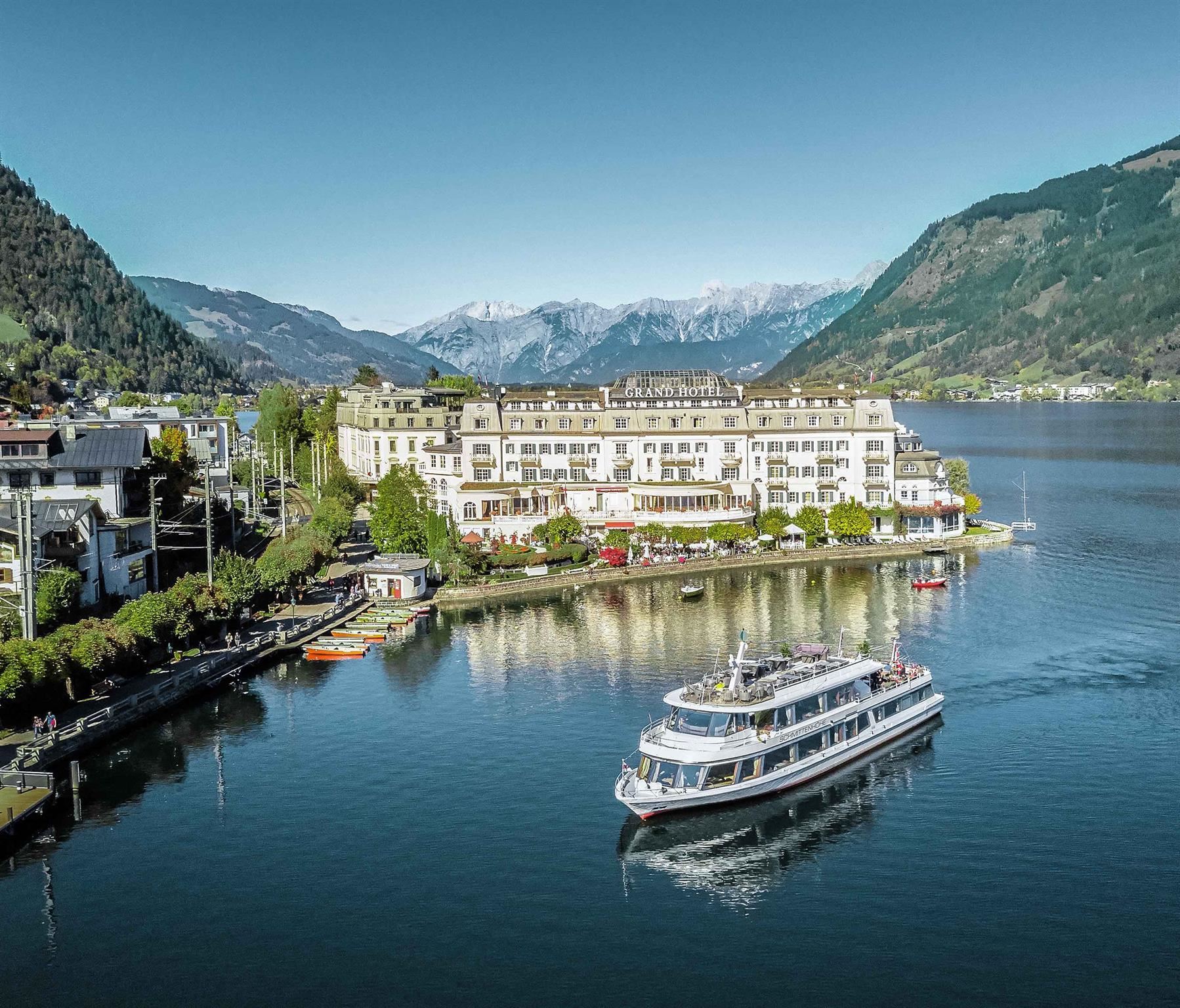
Passenger boat trips on the Zeller See at Zell am See, circling the lake between the Kitzbühel Alps and the glacier peaks to the south.
Dampfzug Zell am See
5.9 km away, in Zell am See
A steam train on the narrow-gauge Pinzgauer Lokalbahn, running from Zell am See up the Salzach valley towards Krimml.
Museum Vogtturm Zell am See
6 km away, in Zell am See
A medieval tower on Zell am See's town square housing the local history museum, with displays on everyday life in the Pinzgau.
Virtual Reality Drop
6.1 km away, in Zell am See
A virtual reality attraction in Zell am See where visitors put on headsets for simulated drops and rides.
Eishalle Zell am See
6.3 km away, in Zell am See
The indoor ice rink in Zell am See, used for skating and ice hockey beside the Zeller See.
Hallenbad Zell am See
6.4 km away, in Zell am See
The indoor swimming pool in Zell am See's leisure centre, a year-round alternative to the lake beaches.
Burg Kaprun
6.6 km away, in Kaprun
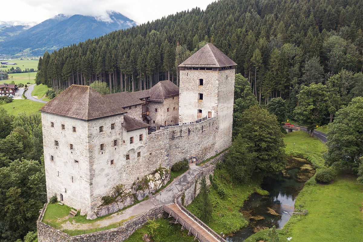
A medieval castle on a rise at the edge of Kaprun, restored and used today for concerts, markets and open-air events.
Vötter's Oldtimer Museum Kaprun
6.9 km away, in Kaprun
A private collection of vintage cars and motorcycles displayed at a hotel in Kaprun, spanning several decades of motoring.
Oldtimer Museum Kaprun
7 km away, in Kaprun
A collection of classic cars and motorcycles in Kaprun, in the Pinzgau below the Kitzsteinhorn.
Großglockner Hochalpenstraße
7.2 km away, in Fusch an der Großglocknerstraße
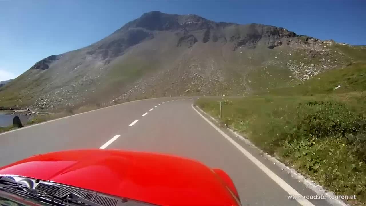
Austria's high alpine road, opened in 1935, climbing from Fusch over the Hochtor at 2,504 m toward the Großglockner, the country's highest peak.
Nothing of this kind in Bruck an der Großglocknerstraße.
Routes
PINZGA HATSCHA Etappe 9 (vom Statzerhaus nach Maishofen)
Ninth stage of the Pinzgau long-distance route, descending from the Statzerhaus on the Hundstein past the Kammeregg Alm and Schloss Kammer to Maishofen.
- 14.8 km
- Distance
- 289 m
- Ascent
- 5 h 42 min
- Duration
- 66
- Check-ins
Skitour zum Statzerhaus auf den Hundstein 2.117 m
A short ski tour of 280 m finishing at the Statzerhaus on the 2,117 m Hundstein.
- 2.8 km
- Distance
- 266 m
- Ascent
- 40 m
- Descent
- 58 min
- Duration
- 57
- Check-ins
MTB Tour - Hundstein Runde (Tour 5)
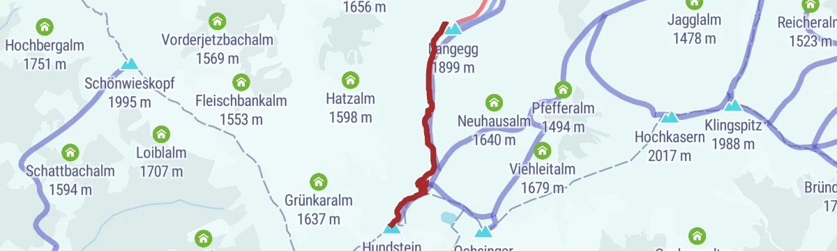
A full-day circuit from Maria Alm over the ridge at 2,117 m and on across Langegg and the Ronachkopf, returning by way of the Enzianhütte.
- 42.7 km
- Distance
- 1 446 m
- Ascent
- 5 h 9 min
- Duration
- 86
- Check-ins
Radweg Kaprun - Bruck an der Großglocknerstraße
A flat valley cycleway between Kaprun and Bruck, running along the Salzach floor at the foot of the road up to the Großglockner.
- 10.7 km
- Distance
- 19 m
- Ascent
- 58 min
- Duration
Großglockner Hochalpenstrasse
A road climb from Fusch past Ferleiten and the Gasthof Piffkar up to the Fuscher Törl at 2,402 m, with the Törlkopf just above.
- 70.3 km
- Distance
- 1 877 m
- Ascent
- 8 h
- Duration
- 93
- Check-ins
 Törlkopf 2 455 m
 Restaurant Fuschertörl 2 410 m
 Fuscher Törl 2 402 m
- Wilfried-Haslauer-Haus 2 268 m
- Gasthof Piffkar 1 632 m
 Tagesspeicher Ferleiten 1 132 m
- +2
PINZGA HATSCHA Variante C (vom Statzerhaus nach Thumersbach)
Almost purely downhill variant from the Statzerhaus on the Hundstein, by the Stoffenalm and the Rupertihaus, to Thumersbach on the Zeller See.
- 9.3 km
- Distance
- 0 m
- Ascent
- 3 h 36 min
- Duration
- 34
- Check-ins
Ironman - Rund um die Pinzgauer Grasberge
The Ironman bike loop round the Pinzgau grass mountains, out by Maria Alm and back along the Salzach.
- 63.8 km
- Distance
- 796 m
- Ascent
- 6 h 25 min
- Duration
- 20
- Check-ins
Hohe Tauern Bike Trail | ET06 Fusch | Ponyhofalm | Kaprunertal | Kaprun
A stage from Fusch over the Brucker Berg into the Kapruner Tal, past the Sigmund-Thun-Klamm and the Klammsee to the Kesselfall Alpenhaus.
- 36.6 km
- Distance
- 1 184 m
- Ascent
- 4 h 22 min
- Duration
- 60
- Check-ins
ZE8 | Thumersbach-Hundstein Tour
A relentless climb from the east shore at Thumersbach over the Ebnerscharte to the Statzerhaus on the Hundstein, 1,380 m up in 14 km.
- 14.2 km
- Distance
- 1 380 m
- Ascent
- 3 h 14 min
- Duration
- 46
- Check-ins
Gravel Bike Route: Moosalm
A gravel loop from Bruck climbing past the Enzianhütte to the Moosalm under the Ronachkopf, then back down towards Zell am See.
- 35.0 km
- Distance
- 1 122 m
- Ascent
- 4 h 10 min
- Duration
- 24
- Check-ins
ZE6 | Erlhofplatten-Tour
A demanding tour above the Zeller See taking in the Enzianhütte and the Ronachkopf, with the Taxhof on the way back down towards Bruck.
- 21.2 km
- Distance
- 800 m
- Ascent
- 2 h 38 min
- Duration
- 19
- Check-ins
Gravel Bike Route: Erlhofplatte
A gravel loop from the Zeller See shore up to the Enzianhütte and over the Ronachkopf, returning by the Taxhof to the lakeside at Seespitz.
- 25.2 km
- Distance
- 818 m
- Ascent
- 3 h 1 min
- Duration
- 18
- Check-ins
IRONMAN 70.3. WM-Radstrecke
The road racing circuit around Zell am See, running out to Bruck in the Salzach valley and over the Filzensattel before returning to the lake.
- 89.9 km
- Distance
- 1 247 m
- Ascent
- 9 h 9 min
- Duration
- 17
- Check-ins
Dientner Runde + Rauriserhöhe
A long road circuit from Maria Alm over the Filzensattel to Bruck at the mouth of the Salzach valley, with a second big climb before the return.
- 72.7 km
- Distance
- 1 642 m
- Ascent
- 7 h 60 min
- Duration
- 16
- Check-ins
Radtour Fusch Ferleiten
A valley ride from Zell am See along the Salzach and up the Fuschertal to the reservoir at Ferleiten, with campsites strung along the way.
- 44.1 km
- Distance
- 570 m
- Ascent
- 4 h 27 min
- Duration
- 16
- Check-ins
- Tagesspeicher Ferleiten 1 132 m
- Tourist Info Fusch 812 m
- Bruck Fusch Besucherzentrum 755 m
- Zell am See Tourist Information 762 m
Gravel Bike Route: Seeblickrunde
A gravel circuit over the Brucker Berg to the Ponyhofalm, with the Zeller See in sight on the descent back to the valley floor.
- 36.3 km
- Distance
- 944 m
- Ascent
- 4 h 7 min
- Duration
- 5
- Check-ins
Radtour Gerlingrunde
A gentle valley loop from Maishofen down to the shore of the Zeller See, returning through the meadows of the WiesenKönigReich.
- 33.6 km
- Distance
- 264 m
- Ascent
- 3 h 14 min
- Duration
- 5
- Check-ins
KA10 | Bruckerberg-Runde
A rolling circuit from the centre of Kaprun onto the wooded hillsides above the village, returning along the floor of the Salzach valley.
- 15.3 km
- Distance
- 402 m
- Ascent
- 1 h 44 min
- Duration
- 3
- Check-ins
No routes of this kind in Bruck an der Großglocknerstraße yet.
The region's own picks

Featured route
PINZGA HATSCHA Etappe 9 (vom Statzerhaus nach Maishofen)
Ninth stage of the Pinzgau long-distance route, descending from the Statzerhaus on the Hundstein past the Kammeregg Alm and Schloss Kammer to Maishofen.
Planning a trip to Bruck an der Großglocknerstraße?
Everything else Salzburg (state) has, in one place


Take Bruck an der Großglocknerstraße with you into the mountains
Every route on this page with 3D terrain, GPX navigation and offline maps — including the valleys with no signal.
Data sources
- Official website: zellamsee-kaprun.com ↗
- Routes and highlights: Zell am See-Kaprun Tourismus, Hochkönig Tourismus, Nationalpark, Kitzbühel Tourismus
- Published as open data by the tourist boards named above.
- Region summary generated from the board's own material.
