
Curated by Hochkönig Tourismus
Bischofshofen
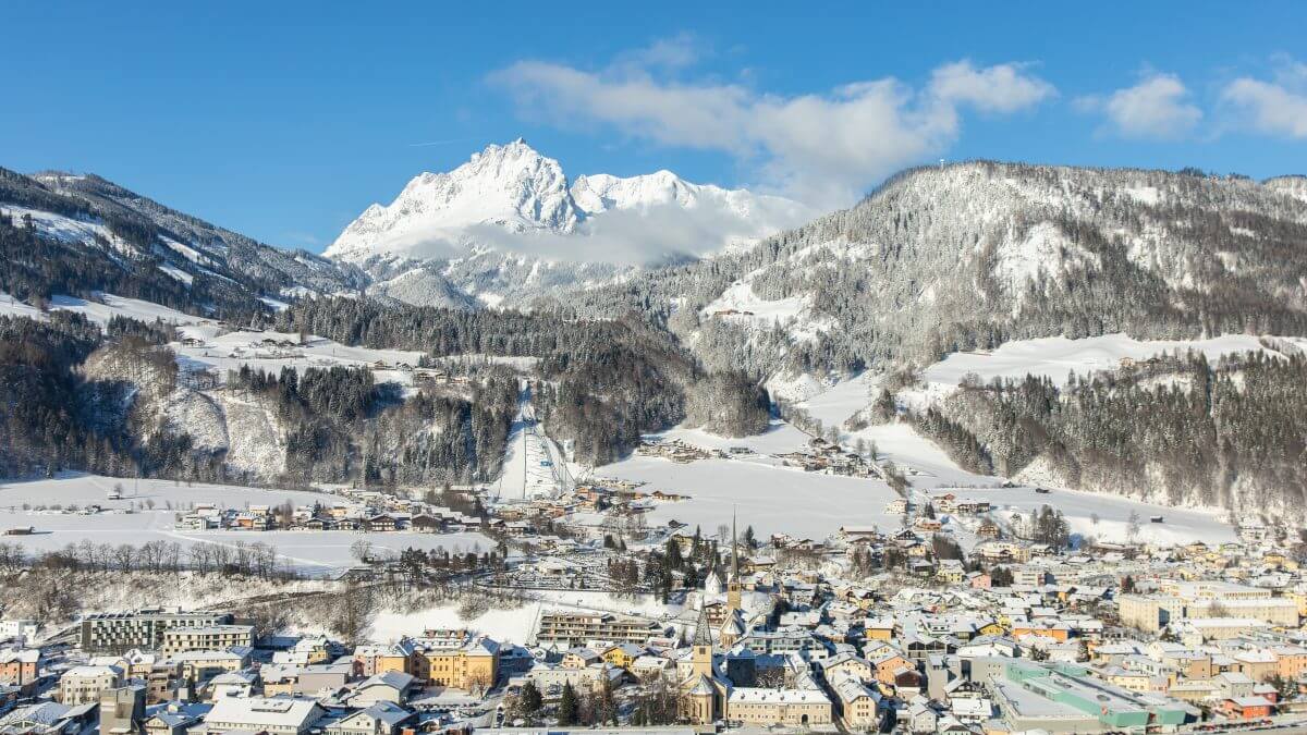
A working town on the Salzach some 50 km south of Salzburg, known to ski-jumping fans as the stage for the final of the Vierschanzentournee every January.
- 3Highlights
- 25Routes
- Featured summit · Hochkeil
Highlights
12 from neighbouring places
Heinrich-Kiener-Haus am Hochgründeck
A mountain hut near the summit of the Hochgründeck above St. Johann im Pongau, a walkers' destination with regional cooking.
Mitterfeldalm 1.670 m
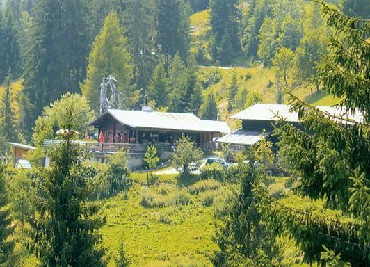
An alm at 1,670 m on the Hochkönig ascent above Mühlbach, a customary rest stop with home cooking on the way towards the Matrashaus.
Brandstätthütte 1.540 m
A pasture hut at 1,540 m in the Mühlbach corner of the Hochkönig region, offering plain home cooking to walkers on the high paths.
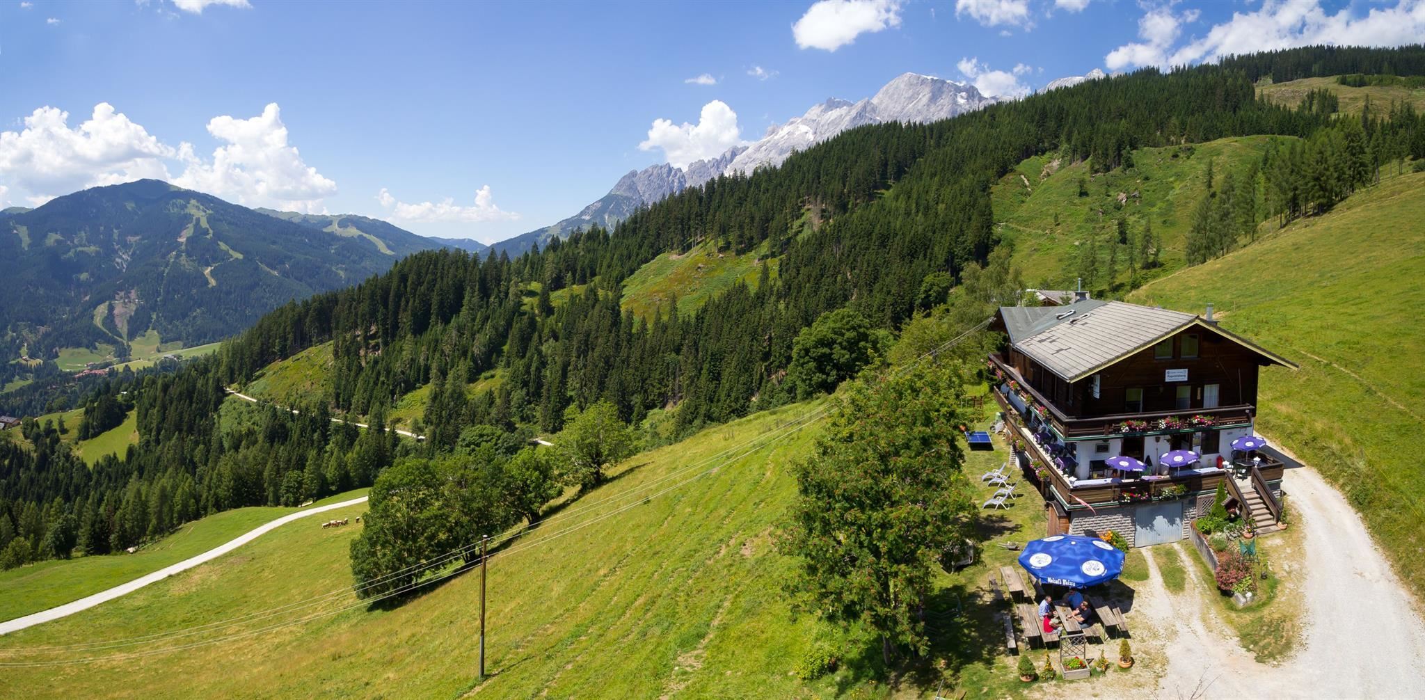
Alpengasthof Rapoldsberg 1.303 m
6.5 km away, in Mühlbach am Hochkönig
An alpine inn at 1,303 m on the Rapoldsberg above Mühlbach am Hochkönig, combining a farmhouse restaurant with Austrian home cooking.
Streichelzoo Arthurhaus
6.6 km away, in Mühlbach am Hochkönig
A petting zoo at the Arthurhaus above Mühlbach am Hochkönig, where children meet farm animals at the foot of the Hochkönig walls.
Schweizerhütte
6.6 km away, in Mühlbach am Hochkönig
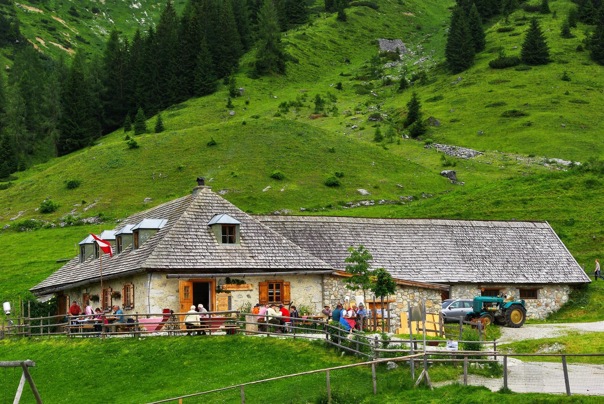
A mountain hut above Mühlbach am Hochkönig near the Arthurhaus meadows, serving regional home cooking to walkers below the massif.
Schweizerhütte 1.502 m
6.6 km away, in Mühlbach am Hochkönig
The Schweizerhütte at 1,502 m by the Arthurhaus above Mühlbach am Hochkönig, an alm kitchen using organic farm produce.
JO Congress
6.9 km away, in Sankt Johann im Pongau
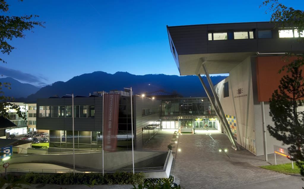
The congress and event house of St. Johann im Pongau, hosting conferences, concerts and festivities in the Pongau town.
JO Congress | Hochzeitslocation
6.9 km away, in Sankt Johann im Pongau
The festival hall of the JO Congress in St. Johann im Pongau, booked as a venue for weddings and larger celebrations.
Pongauer Dom
7 km away, in Sankt Johann im Pongau
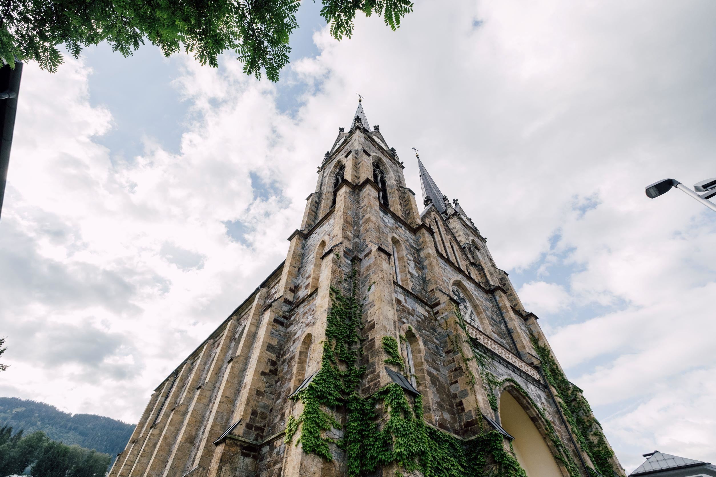
The twin-towered neo-Gothic parish church of St. Johann im Pongau, rebuilt after the town fire of 1855 and known as the Pongau cathedral.
Annakapelle
7.1 km away, in Sankt Johann im Pongau
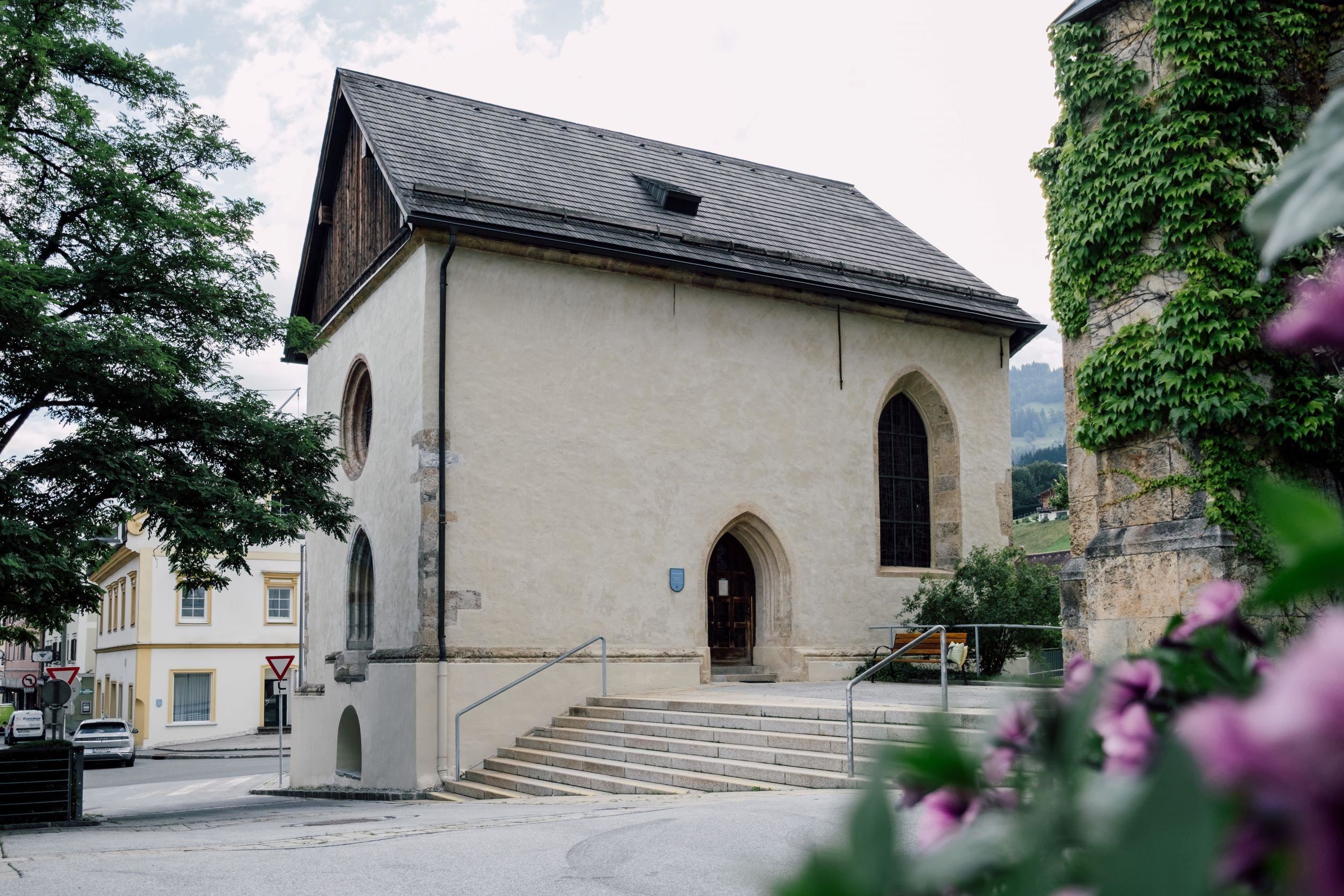
A small chapel dedicated to St. Anne on the edge of St. Johann im Pongau, a quiet wayside stop on walks around the town.
Rettenebenalm
7.1 km away, in Sankt Johann im Pongau
An alm snack station above St. Johann im Pongau, serving regional dishes and reached on walking paths from the Pongau valley.
Geocaching Mühlbach
7.5 km away, in Mühlbach am Hochkönig
A GPS treasure hunt around Mühlbach am Hochkönig, with caches hidden along village and mountain paths for families to track down.
Kino am Berg
7.5 km away, in Mühlbach am Hochkönig
Open-air film evenings staged on the mountainside above Mühlbach am Hochkönig, combined with an easy walk to the screening spot.
Hubertus, Wirtshaus
7.5 km away, in Sankt Johann im Pongau
A country inn in the St. Johann im Pongau area, serving regional and international dishes and catering for celebrations.
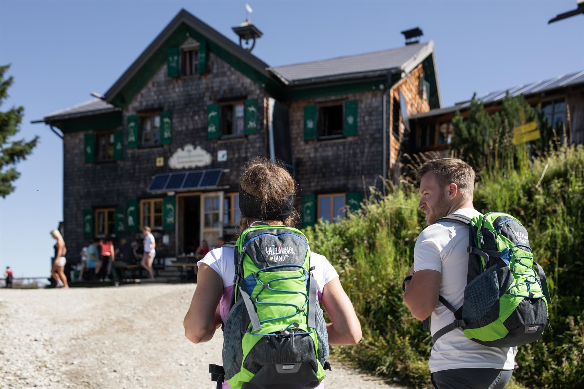
 Mountain hut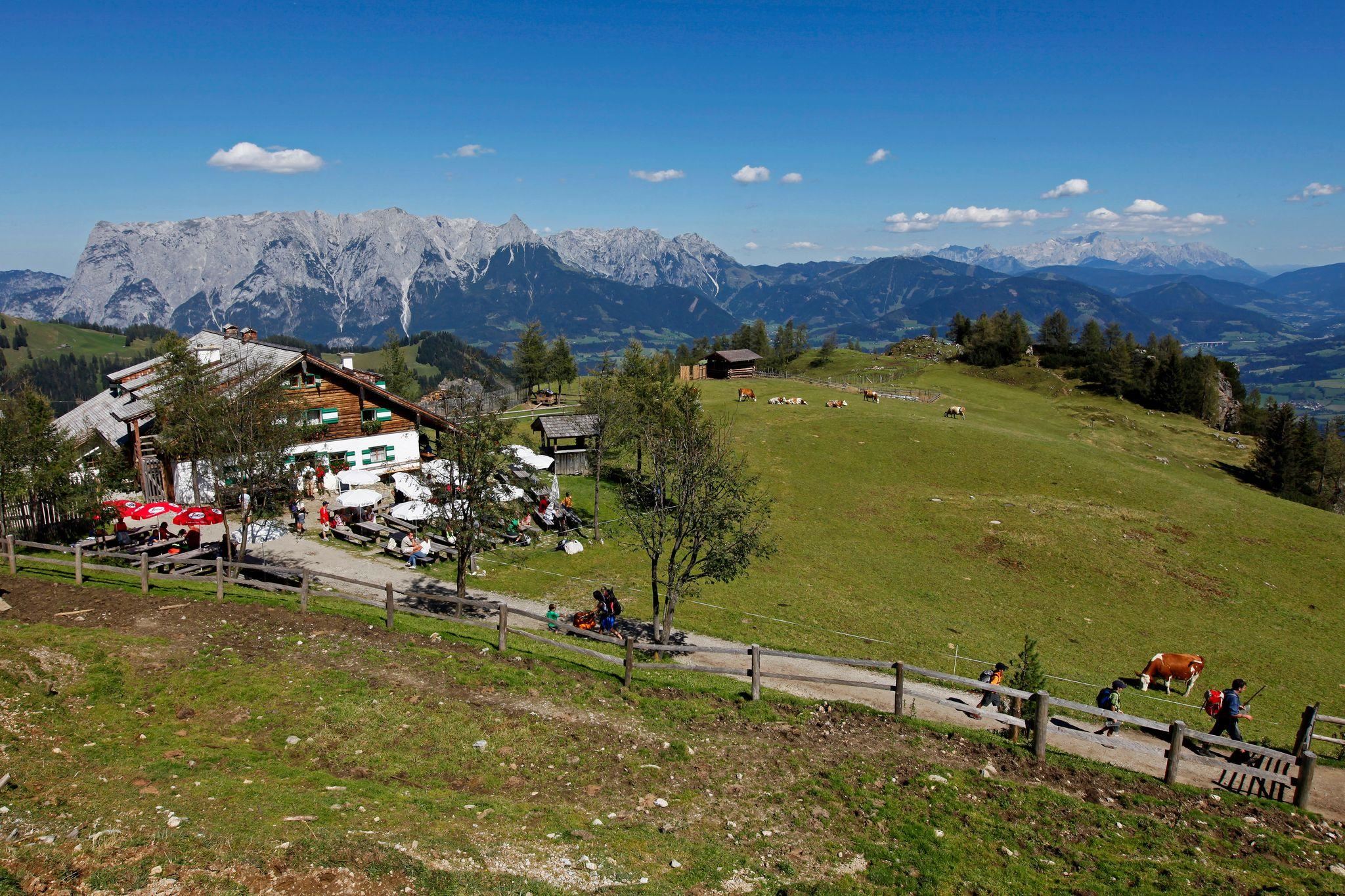
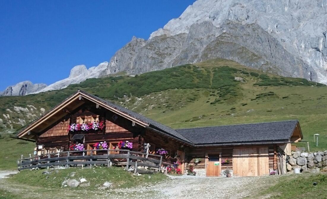
 Historic site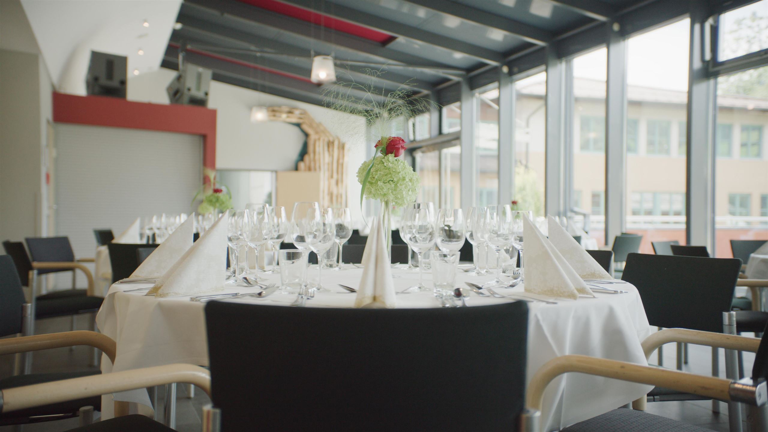

Nothing of this kind in Bischofshofen.
Routes
Rundweg Arthurhaus - Mitterfeldalm
Easy round from the Arthurhaus to the Mitterfeldalm and back over the Stegalm, with the Schweizerhütte dairy and the Mitterbergsattel on the way.
- 4.9 km
- Distance
- 270 m
- Ascent
- 1 h 55 min
- Duration
- 30
- Check-ins
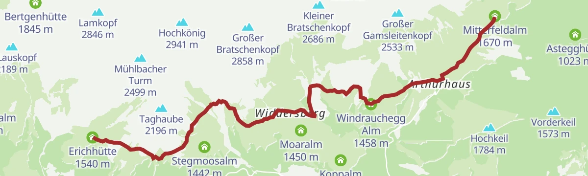
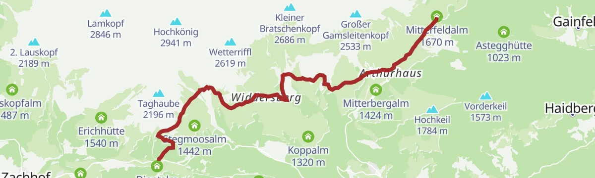
Hochkönig Hüttenhüpfer Tour 2. Etappe
The second day of the hut-hopping route below the Hochkönig, leading from the Mitterfeldalm through the Riedingtal past a waterfall to the Erichhütte.
- 11.5 km
- Distance
- 215 m
- Ascent
- 3 h 20 min
- Duration
- 53
- Check-ins
Salzburger Almenweg - Etappe 01: Werfen – Arthurhaus
The first day of the circuit gains 1,150 m from the Salzach valley at Werfen, passing the Mitterfeldalm and Stegalm to the Arthurhaus below the Hochkönig.
- 12.7 km
- Distance
- 1 145 m
- Ascent
- 5 h 22 min
- Duration
- 27
- Check-ins
MTB - Panoramatour Region Hochkönig
A long forest-road traverse from the alms above Maria Alm, over the Wastlhöhe and by the Mittereggalm and Zachhof Alm, down to Bischofshofen at 550 m.
- 48.3 km
- Distance
- 1 940 m
- Ascent
- 6 h 12 min
- Duration
- 78
- Check-ins
Hochkönig Hüttenhüpfer Tour 1. Etappe
First stage of a hut-to-hut round: from the Arthurhaus to the Hochkeil summit by the Spiegelsee, then down to the Mitterfeldalm facing the Hochkönig massif.
- 12.0 km
- Distance
- 656 m
- Ascent
- 4 h 23 min
- Duration
- 39
- Check-ins
Via Alpina 1. Etappe
The first stage of the Via Alpina in Salzburg, climbing almost 1,000 m from Bischofshofen over the Mitterbergsattel to Mühlbach below the Hochkönig.
- 9.7 km
- Distance
- 1 019 m
- Ascent
- 4 h 25 min
- Duration
- 5
- Check-ins
Am Fuße des Hochkönigs
A long day round the foot of the Hochkönig from Wagrain, by the Übergossene Alm and the Mittereggalm.
- 74.8 km
- Distance
- 1 720 m
- Ascent
- 8 h 16 min
- Duration
- 14
- Check-ins
Hüttenhüpfer 2 Etappe - Variante Berggasthof Mittereggalm
A variant of the second hut-hopping day that takes in the Mittereggalm, running from the Mitterfeldalm through the Riedingtal past a waterfall.
- 11.1 km
- Distance
- 215 m
- Ascent
- 3 h 24 min
- Duration
- 39
- Check-ins
Gründeck-Runde
A long valley-and-hillside circuit from Wagrain by Bischofshofen, working round below the Gründeck.
- 51.4 km
- Distance
- 666 m
- Ascent
- 5 h 11 min
- Duration
- 13
- Check-ins
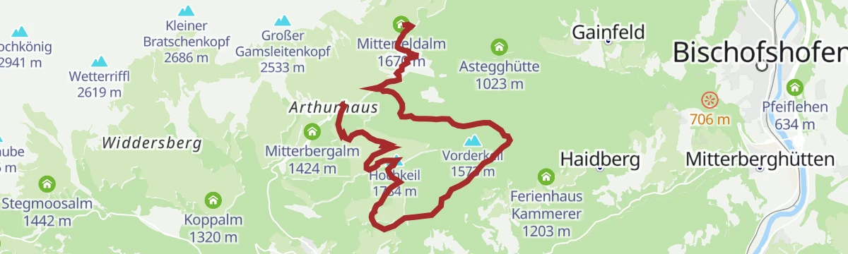
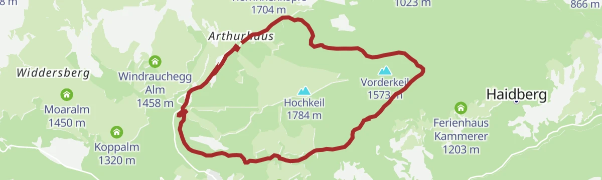
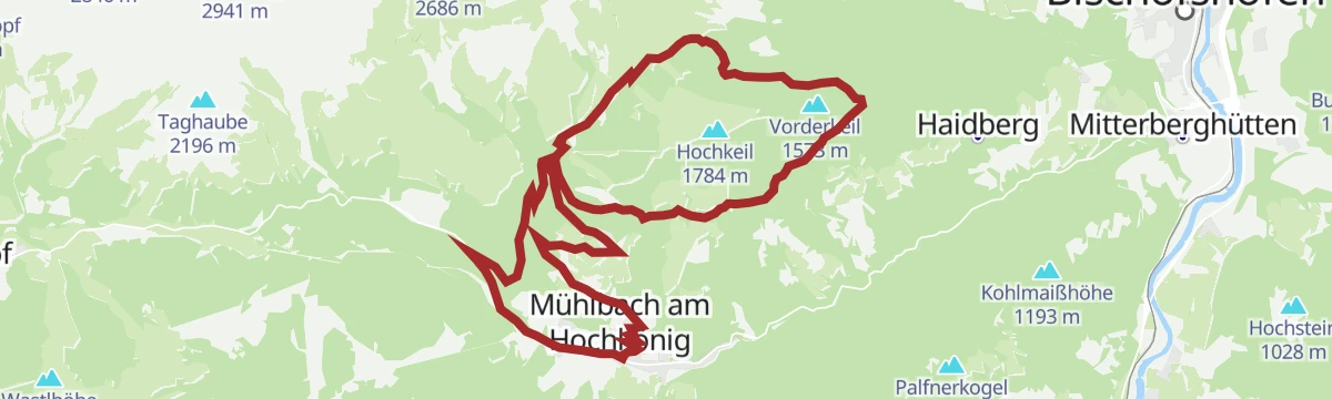
Hochkeil Rundweg
A circuit on the Mitterberg above Bischofshofen, linking the Mitterbergalm, the Hochkeilhaus and the Sonneck by way of the saddle.
- 10.5 km
- Distance
- 351 m
- Ascent
- 3 h 19 min
- Duration
- 4
- Check-ins
Rund um das Hochgründeck
A circuit right round the Hochgründeck from Bischofshofen, crossing the Wagrainer Höhe.
- 55.3 km
- Distance
- 689 m
- Ascent
- 5 h 33 min
- Duration
- 13
- Check-ins
Arthurhaus - Bürglhöh (Bischofshofen)
A nearly level walk at around 1,500 m above Bischofshofen, crossing the Mitterbergsattel beside the top of the Arthurhauslift.
- 7.0 km
- Distance
- 23 m
- Ascent
- 2 h 22 min
- Duration
- 3
- Check-ins
Rund um das Hochgründeck Rennrad Tour
The road-bike version of the Hochgründeck circuit, on tarmac the whole way round.
- 52.9 km
- Distance
- 680 m
- Ascent
- 5 h 20 min
- Duration
- 13
- Check-ins
Filzmoos - Schloss Goldegg
A long, gently graded run from Filzmoos down the Enns to Schloss Goldegg, by way of Schwarzach.
- 50.6 km
- Distance
- 412 m
- Ascent
- 4 h 57 min
- Duration
- 12
- Check-ins
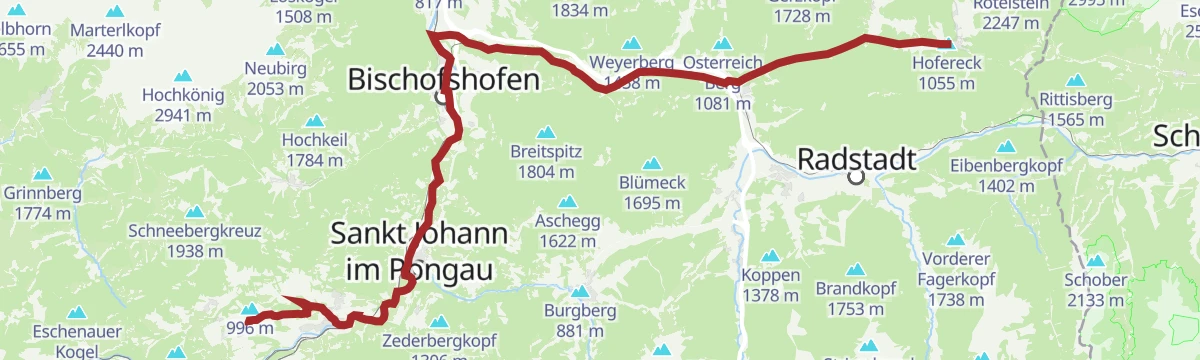
Watzmann- Hochkönig - südliche Runde Etappe 1
The opening stage of a multi-day tour, leaving Bischofshofen over the Ginausattel and the Obergründeck ridge to the Heinrich-Kiener-Haus.
- 55.0 km
- Distance
- 2 280 m
- Ascent
- 6 h 54 min
- Duration
- 11
- Check-ins
MTB Tour - Bischofshofen-Arthurhaus Runde (Tour 4)
A long forest-road circuit from Bischofshofen up over the Mitterbergsattel, passing the Mitterbergalm before the drop back to Mühlbach am Hochkönig.
- 35.1 km
- Distance
- 995 m
- Ascent
- 4 h 3 min
- Duration
- 6
- Check-ins
Tauernradweg - Teilstück Schwarzach bis Werfen
A stage down the Salzach from Schwarzach im Pongau to Werfen, passing the bathing lake at Plankenau and Pfarrwerfen.
- 24.5 km
- Distance
- 42 m
- Ascent
- 2 h 14 min
- Duration
- 6
- Check-ins
e-Bike Tour - Bischofshofen-Arthurhaus Runde (Tour 4)
An e-bike circuit rising from Bischofshofen in the Salzach valley to the Mitterbergalm and the Mitterbergsattel above it.
- 35.0 km
- Distance
- 1 198 m
- Ascent
- 4 h 14 min
- Duration
- 6
- Check-ins
Bischofshofen-Buchberg
A nearly flat ride down the Salzach valley on tracks and side roads, passing the Pfeiflehen farm and the houses of Mitterberghütten.
- 26.8 km
- Distance
- 269 m
- Ascent
- 2 h 38 min
- Duration
- 5
- Check-ins
Gravelbiketour Hochkeil Runde
A forest-road circuit above Mühlbach am Hochkönig over the Mitterbergsattel at 1,515 m, passing the Hochkeilhaus and the Mitterbergalm.
- 21.6 km
- Distance
- 741 m
- Ascent
- 2 h 37 min
- Duration
- 4
- Check-ins
MTB Tour - Hochkeil Runde (Tour 1)
A forest-road ride up to the Hochkeilhaus and over the Mitterbergsattel, with the Mitterbergalm on the way back down to the village.
- 22.0 km
- Distance
- 841 m
- Ascent
- 2 h 44 min
- Duration
- 4
- Check-ins
MTB Tour - Mosott - Arthurhaus Runde (Tour 3)
A long forest-road circuit from Mühlbach am Hochkönig by way of the Mosottalm, crossing the Mitterbergsattel with the Mitterbergalm en route.
- 37.0 km
- Distance
- 1 559 m
- Ascent
- 4 h 45 min
- Duration
- 4
- Check-ins
e-Bike Tour - Mosott-Arthurhaus Runde (Tour 3)
A longer e-bike round by the Mosottalm and the Arthurhaus, over 1,700 m of climbing below the Hochkönig.
- 36.5 km
- Distance
- 1 485 m
- Ascent
- 4 h 38 min
- Duration
- 4
- Check-ins
Burg Hohenwerfen
A flat valley ride along the Salzach to Werfen, below the castle on its rock, with Pfarrwerfen on the return.
- 18.7 km
- Distance
- 65 m
- Ascent
- 1 h 44 min
- Duration
- 3
- Check-ins
Schanzengelände Bischofshofen
An almost level valley run down to Bischofshofen and the ski-jumping hill at the edge of the town.
- 20.9 km
- Distance
- 109 m
- Ascent
- 1 h 57 min
- Duration
- 2
- Check-ins












No routes of this kind in Bischofshofen yet.
The region's own picks

Featured route
Rundweg Arthurhaus - Mitterfeldalm
Easy round from the Arthurhaus to the Mitterfeldalm and back over the Stegalm, with the Schweizerhütte dairy and the Mitterbergsattel on the way.
Planning a trip to Bischofshofen?
Everything else Salzburg (state) has, in one place


Take Bischofshofen with you into the mountains
Every route on this page with 3D terrain, GPX navigation and offline maps — including the valleys with no signal.
Data sources
- Official website: hochkoenig.at ↗
- Routes and highlights: Hochkönig Tourismus, St. Johann im Pongau Tourismus, Wagrain-Kleinarl Tourismus, Flachau Tourismus, Altenmarkt-Zauchensee Tourismus, Filzmoos Tourismus, Salzburger Sportwelt
- Published as open data by the tourist boards named above.
- Region summary generated from the board's own material.
