
Curated by Großarltal Tourismus
Bad Gastein
A spa town built in tiers around the Ache's waterfall at just over 1,000 m, at the foot of the Graukogel where the valley narrows towards the Tauern tunnel.
Photo: C.Stadler/Bwag licence
- 3Highlights
- 2Routes
Highlights
12 from neighbouring places
Kulinarische Winterreise im Nationalpark Hohe Tauern
A winter horse-drawn sleigh outing with food stops at Bad Gastein, offered as a Hohe Tauern national park partner programme.
Felsentherme Bad Gastein
A thermal bath built into the rock face at Bad Gastein, fed by the valley's hot springs and with pools inside and out.
Gasteiner Museum
A local museum in Bad Gastein on the history of the spa town, its healing springs and its 19th-century visitors.
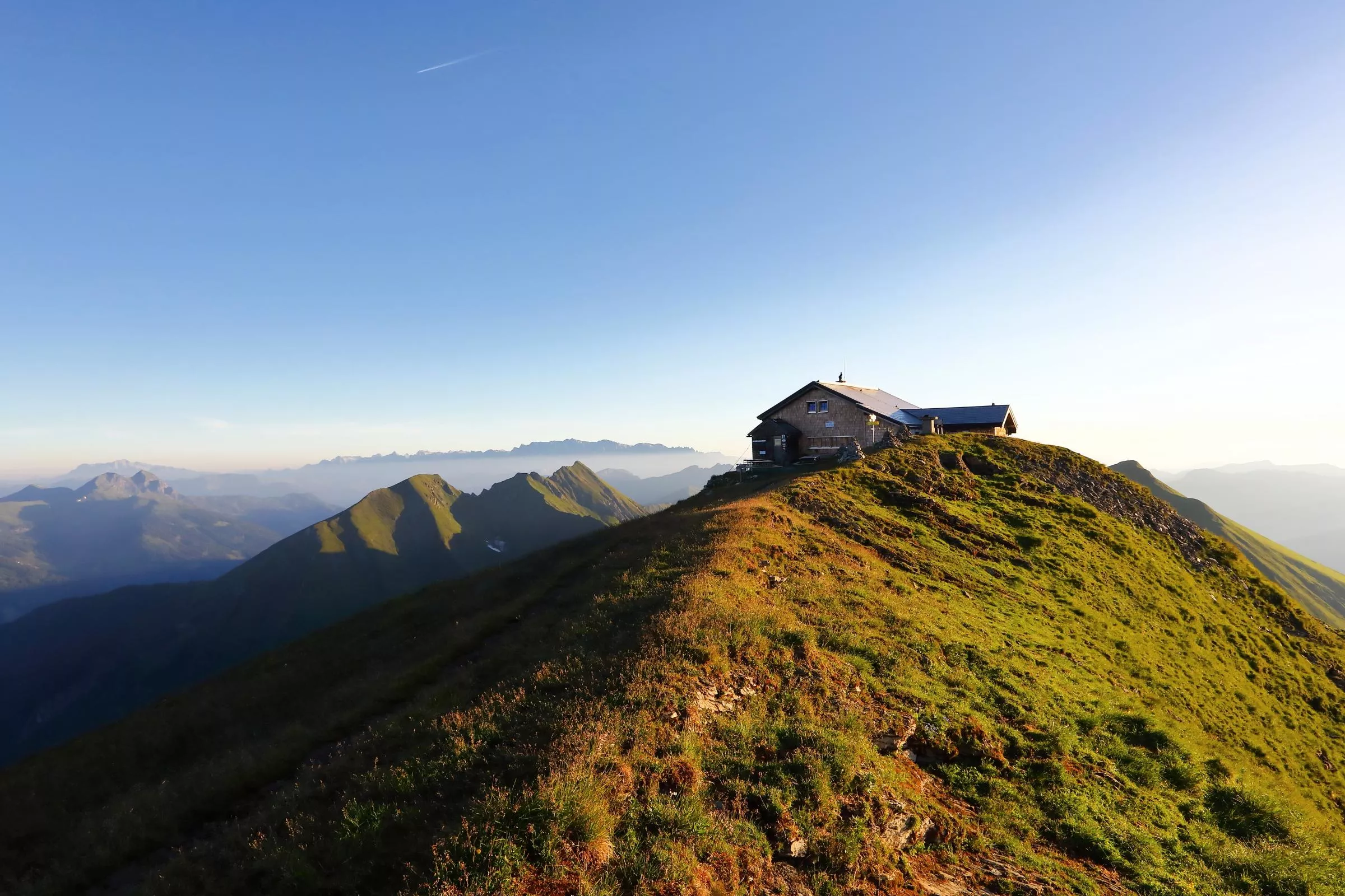
Gamskarkogelhütte, 2.465 m
9 km away, in Großarl
A summit hut at 2,465 m on the Gamskarkogel between the Gastein and Großarl valleys, with basic beds and wide views along the Tauern.
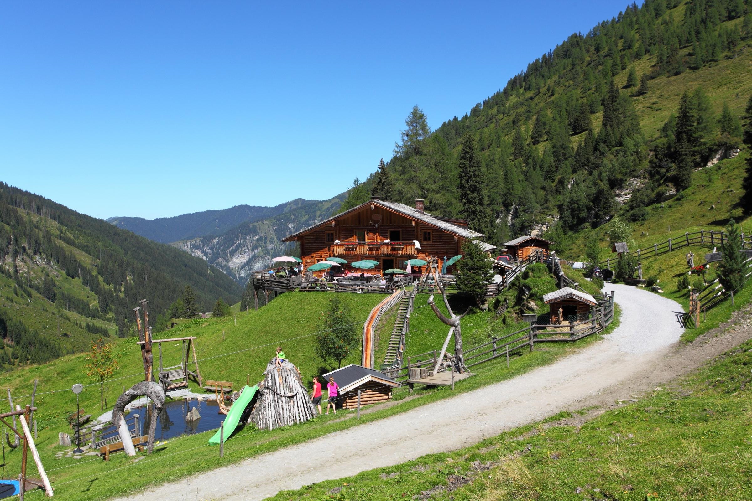
Reitalm, 1.600 m
9 km away, in Hüttschlag
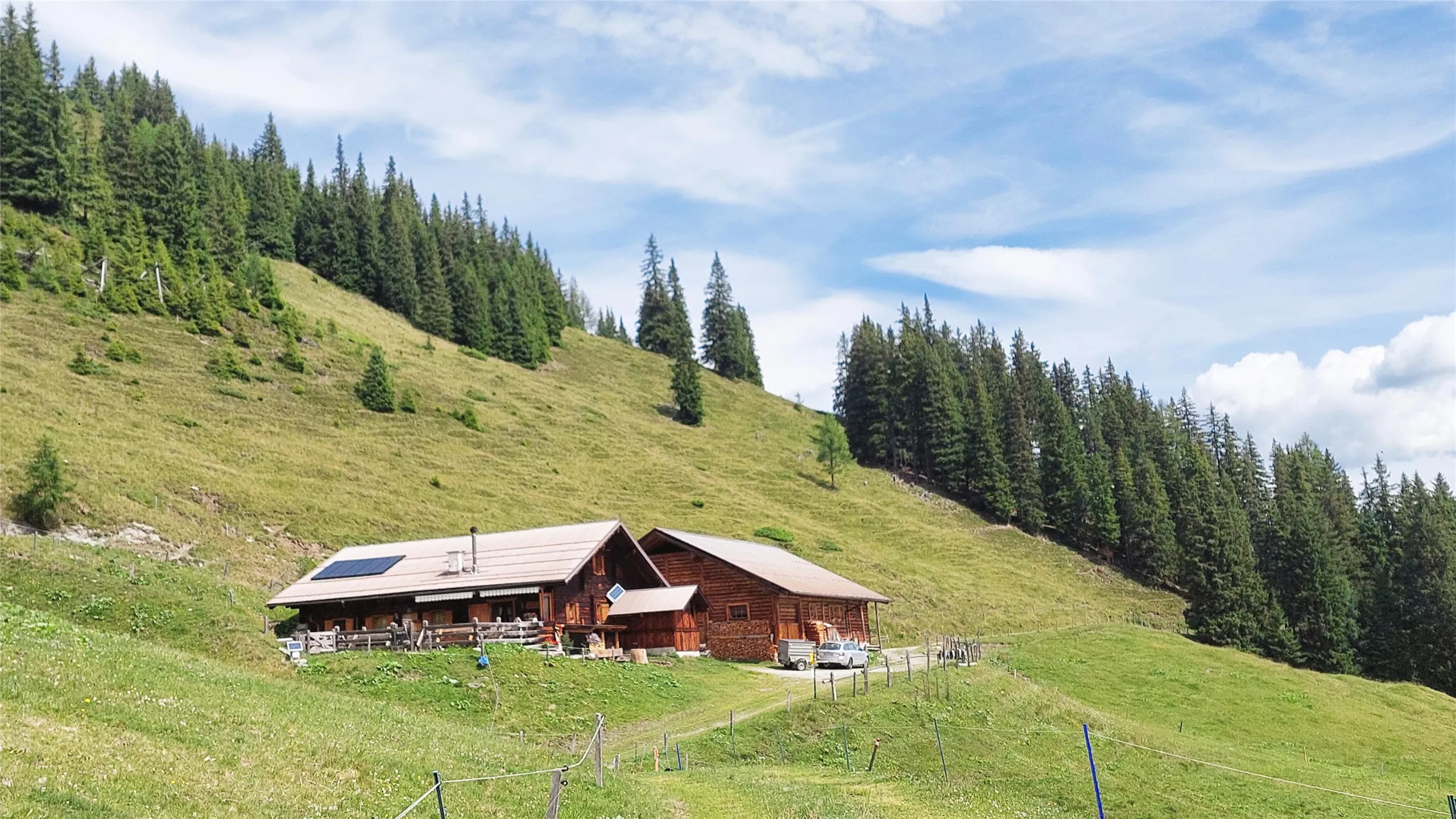
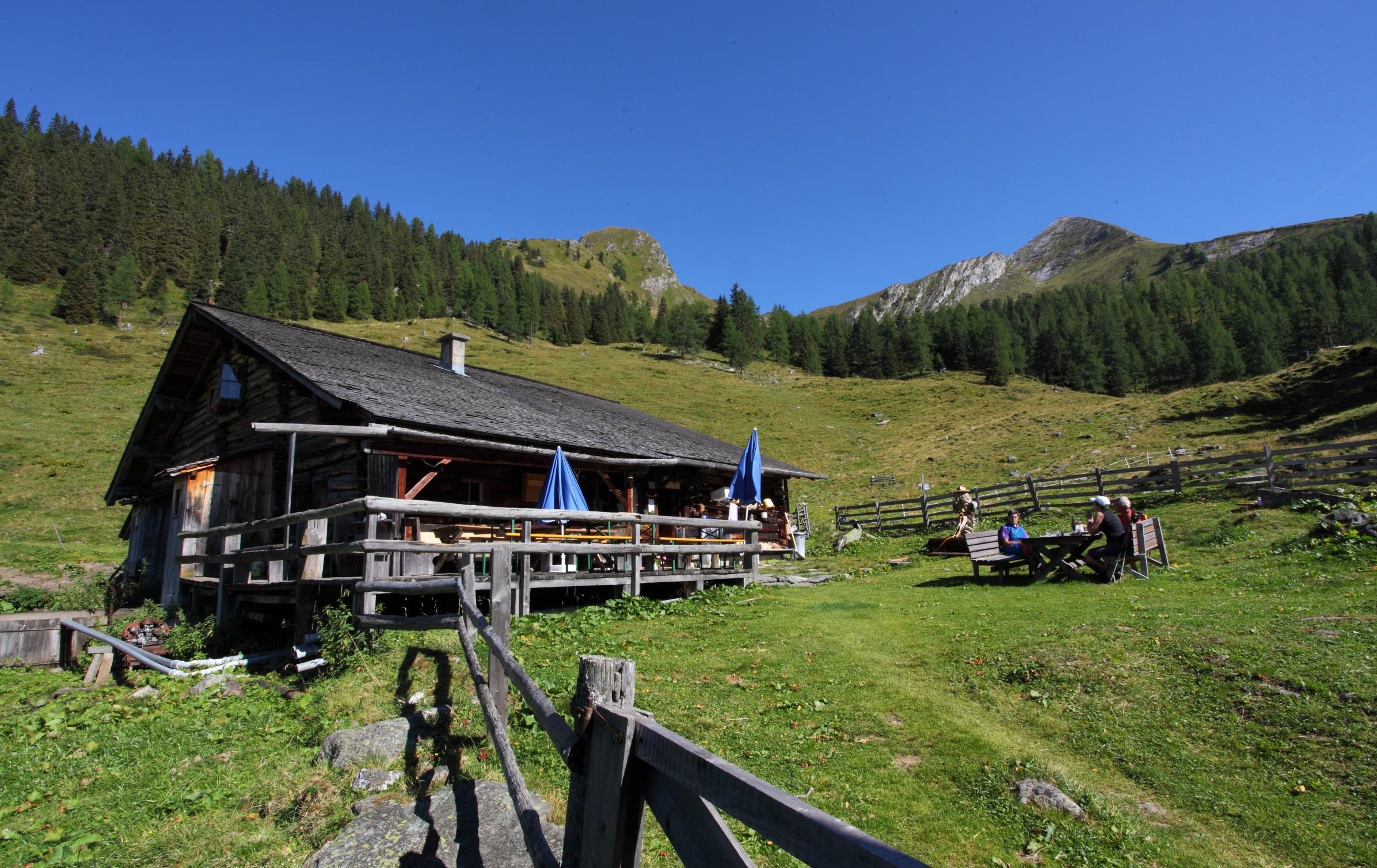
A pasture hut at 1,600 m above Hüttschlag with farm snacks and simple beds, a stop on inner-valley walking and bike routes.
Harbachalm, 1.612 m
9.8 km away, in Großarl
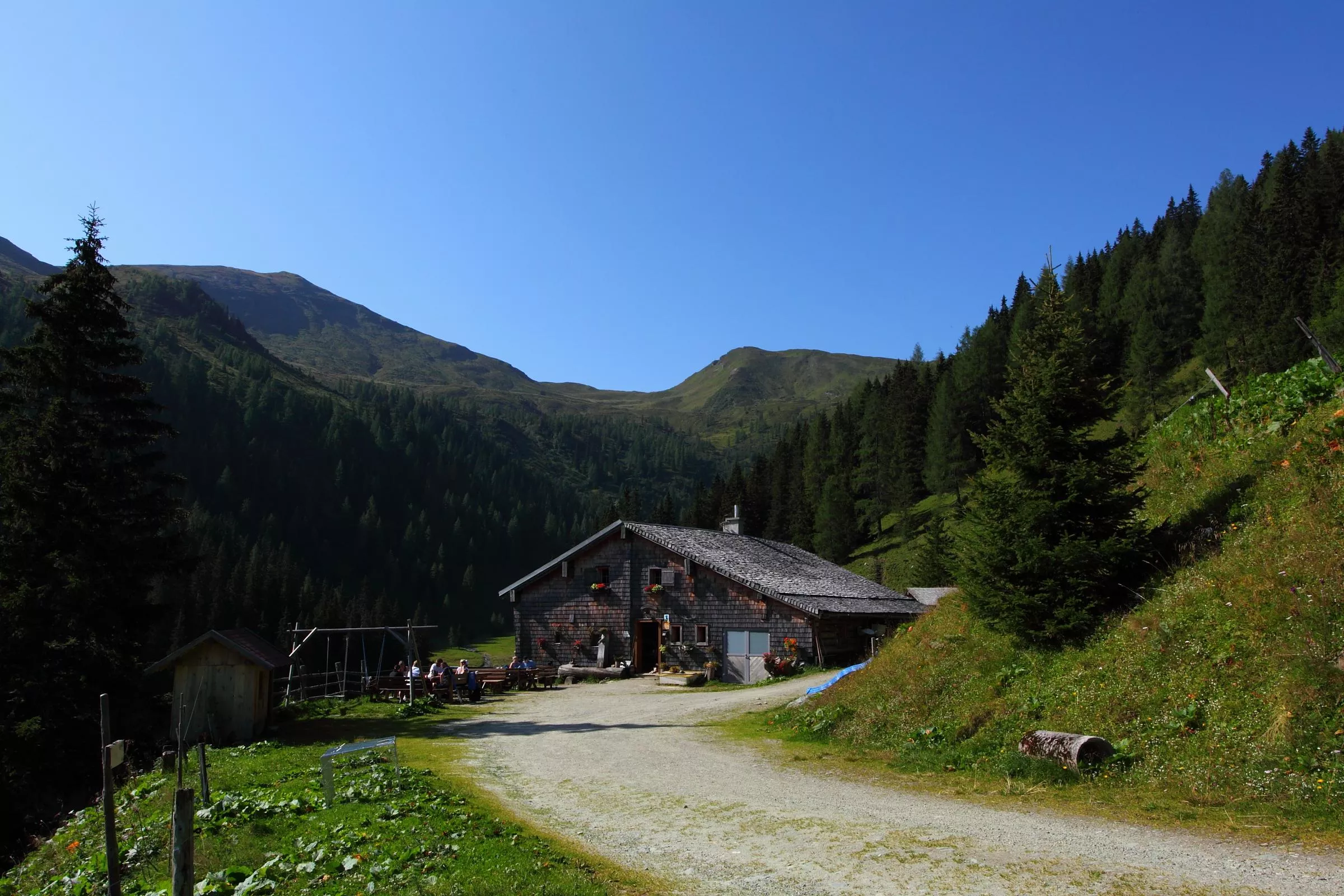
A managed alm at 1,612 m above Großarl, serving farm snacks to walkers and bikers in the grazing season.
Vorderkaseralm, 1.720 m
10.2 km away, in Hüttschlag
An alm hut at 1,720 m above Hüttschlag; Kaser is the local word for an alpine dairy hut, and snacks are served in the grazing season.
Skigroßraum Gasteinertal (Ski amadé)
10.3 km away, in Bad Hofgastein
The linked ski areas of the Gastein valley within Ski amadé, served by the Gasteiner Bergbahnen lifts from Dorfgastein up to Sportgastein.
Alpentherme Gastein
10.3 km away, in Bad Hofgastein
A large thermal bath complex in Bad Hofgastein, fed by the radon-bearing hot springs of the Gastein valley.
Hühnerkaralm, 1.700 m
10.4 km away, in Hüttschlag
An alm hut at 1,700 m above Hüttschlag with snacks and basic sleeping places, set in the Hühnerkar high pasture bowl.
Hubalm, 1.311 m
10.6 km away, in Hüttschlag
A pasture hut at 1,311 m above Hüttschlag (982 m), a short alm walk from the village at the head of the Großarltal.
Goldene Aussichten
11.6 km away, in Rauris
A Hohe Tauern National Park viewpoint offer in the Rauris valley, whose name plays on the valley's gold-mining past.
Zauberhaftes Wintererlebnis Rauris
11.6 km away, in Rauris
A guided winter programme in the Rauris valley, run under the Hohe Tauern National Park partner scheme.
Pfarrkirche Hüttschlag
12.6 km away, in Hüttschlag
Parish church of Hüttschlag at 982 m, serving the innermost village of the Großarltal; its churchyard is still the village burial ground.
Bachalm, 1.535 m
12.6 km away, in Großarl
A pasture hut at 1,535 m above Großarl, reached on foot or by bike on the valley's alm tracks.
 Cable car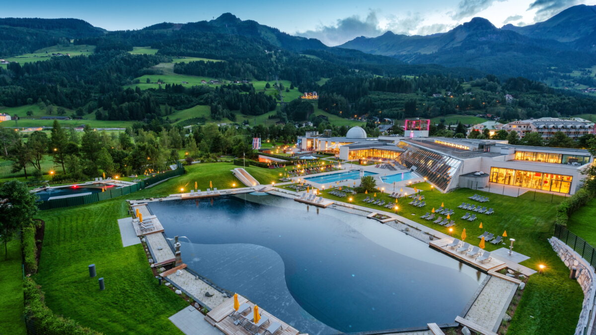
 Viewpoint
Nothing of this kind in Bad Gastein.
Routes
18 from neighbouring places
Salzburger Almenweg - Etappe 10: Bad Gastein - Hüttschlag
Stage ten crosses from Bad Gastein over the Poserhöhe and the Tofernscharte into the Großarltal, dropping past the Tofernalm huts to Hüttschlag.
- 16.9 km
- Distance
- 1 111 m
- Ascent
- 7 h 43 min
- Duration
- 21
- Check-ins
Ciclovia Alpe-Adria Radweg 3. Etappe: Bad Gastein/ Mallnitz- Spittal an. d. Drau
A long, gently falling valley run from Böckstein through Mallnitz and down the Möll, past Möllbrücke and Sachsenburg to Spittal an der Drau.
- 58.6 km
- Distance
- 343 m
- Ascent
- 5 h 42 min
- Duration
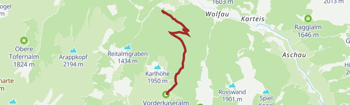
Hüttschlag: Vorderkaseralm
12 km away, in Hüttschlag
Easy alm walk in Hüttschlag, 420 m of ascent to the Vorderkaseralm and back down the same track.
- 7.9 km
- Distance
- 442 m
- Ascent
- 3 h 7 min
- Duration
- 1
- Check-ins
Hüttschlag: Franzl
12.6 km away, in Hüttschlag
Cabled route up the Hüttschlager Wand, easy in grade, with 264 m of ascent over a short approach and climb.
- 1.9 km
- Distance
- 284 m
- Ascent
- 2 h 4 min
- Duration
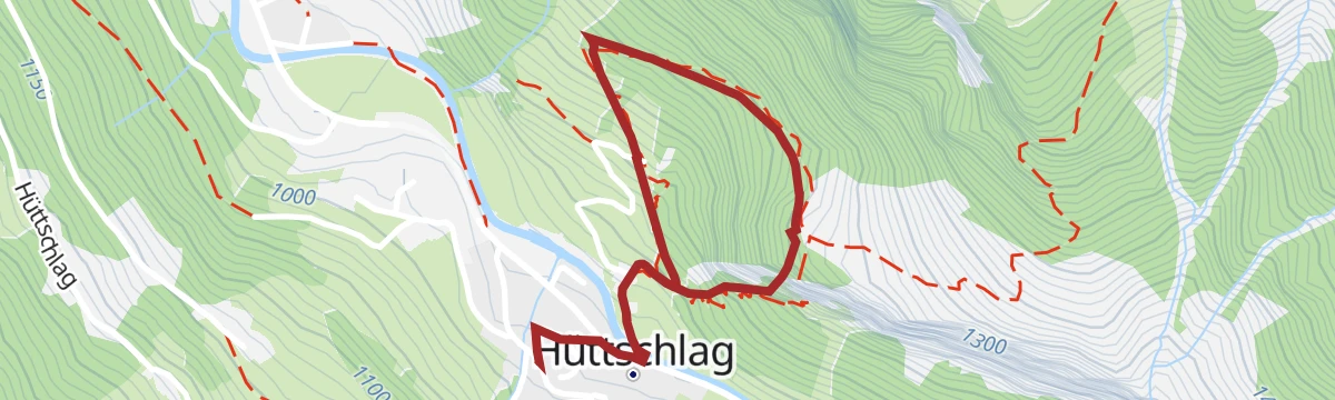
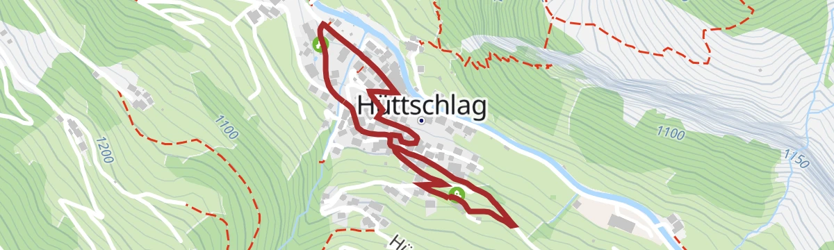
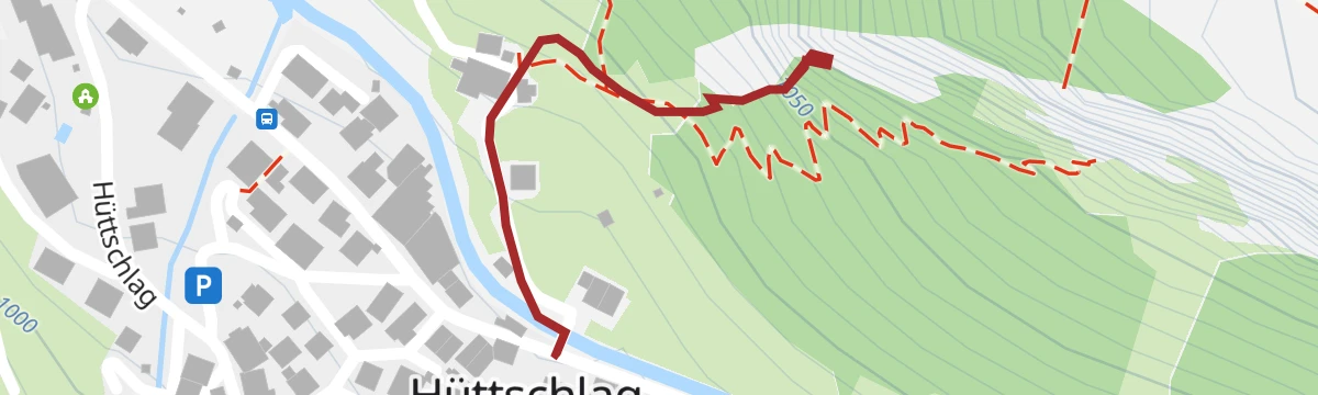
Hüttschlag: Ortsrundgang
12.7 km away, in Hüttschlag
Short circuit of a village that once lived from copper mining, laid out along the Kupfergeist puzzle trail whose boards explain the workings.
- 1.6 km
- Distance
- 53 m
- Ascent
- 31 min
- Duration
Großarltal: Frauenkogel, 2.424 m
12.7 km away, in Großarl
A 1,220 m ski ascent of the 2,424 m Frauenkogel, one of the wider viewpoints in the Großarltal.
- 10.7 km
- Distance
- 1 297 m
- Ascent
- 1 295 m
- Descent
- 4 h 41 min
- Duration
- 4
- Check-ins
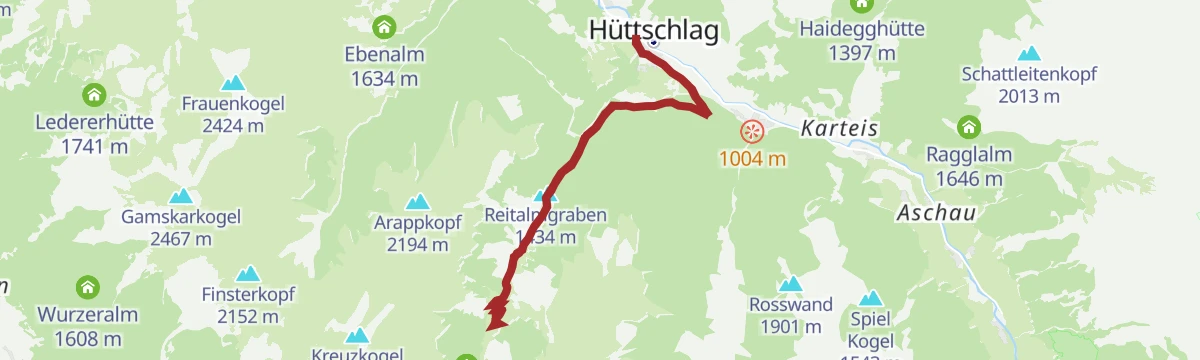
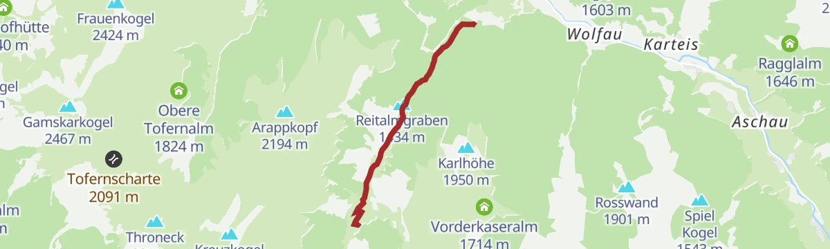
Hüttschlag: Reitalm
12.8 km away, in Hüttschlag
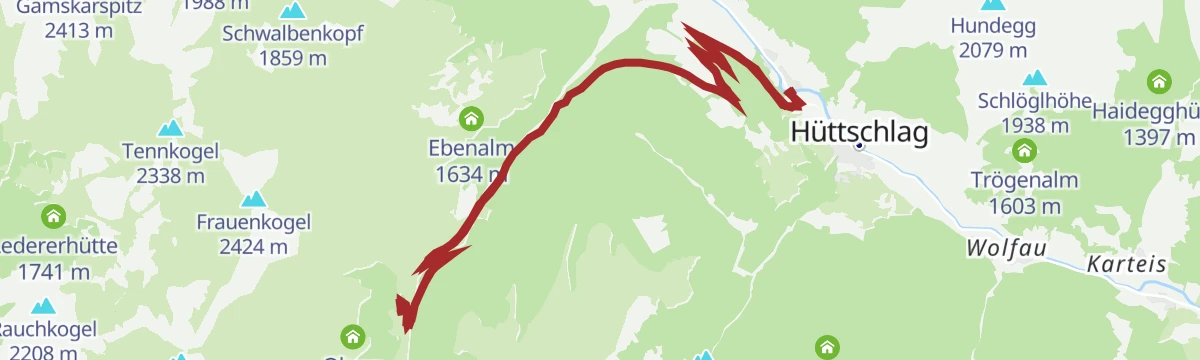
A forest-road climb up the Reitalmgraben to the hut at 1,621 m, returning by the same track to the floor of the Großarltal.
- 12.1 km
- Distance
- 652 m
- Ascent
- 1 h 46 min
- Duration
- 5
- Check-ins
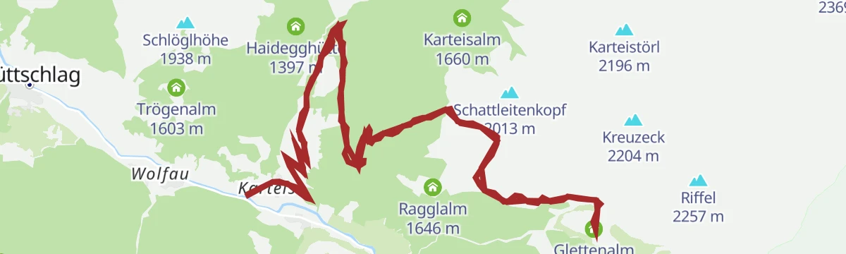
Hüttschlag: Kreuzeck, 2.204 m
14.6 km away, in Hüttschlag
Ski tour to the 2,204 m Kreuzeck by way of the Karteisalm and Hallmoosalm; the wildlife sanctuary near the Ragglalm must be avoided, and the Klingspitz can be added in settled conditions.
- 8.0 km
- Distance
- 894 m
- Ascent
- 896 m
- Descent
- 3 h 19 min
- Duration
- 16
- Check-ins
Hüttschlag: Hirschgrubenalm - Hühnerkarscharte - Hühnerkaralm - Hubalm
12.6 km away, in Hüttschlag
Round to the Hühnerkarscharte with three serviced alm huts on the route — the Hirschgrubenalm, Hühnerkaralm and Hubalm.
- 12.9 km
- Distance
- 1 012 m
- Ascent
- 6 h 13 min
- Duration
- 6
- Check-ins
Hüttschlag: Tofernalm
12.9 km away, in Hüttschlag
A long climb through the Tofern pastures, past the lower hut to the Obere Tofernalm at 1,824 m, the high point of the ride.
- 17.2 km
- Distance
- 858 m
- Ascent
- 2 h 23 min
- Duration
- 7
- Check-ins
Hüttschlag: Vorderkaseralm - Roßkarkopf - Roßkarkopfscharte - Reitalm
12 km away, in Hüttschlag
Round from the Vorderkaseralm over the Roßkarkopf and its scharte to the Reitalm, with 840 m of ascent on alm paths.
- 12.3 km
- Distance
- 949 m
- Ascent
- 6 h 10 min
- Duration
- 9
- Check-ins
Hüttschlag: Gletschergoaß
12.7 km away, in Hüttschlag
Short practice via ferrata above Hüttschlag, 119 m of climbing on ground gentle enough for a first outing on the cable.
- 708 m
- Distance
- 113 m
- Ascent
- 48 min
- Duration
Hüttschlag: Ötzlsee
13.4 km away, in Hüttschlag
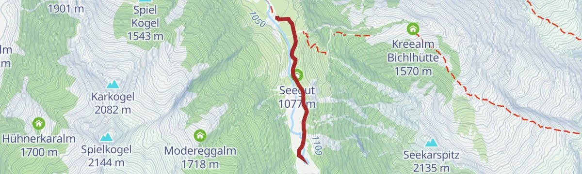
Nearly level walk to the Ötzlsee, a small lake at the head of the Hüttschlag valley, passing the Seegut on the way.
- 3.9 km
- Distance
- 20 m
- Ascent
- 58 min
- Duration
- 2
- Check-ins
 Ötzlsee 1 062 m
 Seegut 1 077 m
Großarltal: Gamskarkogel, 2.467 m
12.7 km away, in Großarl
A 1,230 m ski ascent through the Tofernalmen to the Gamskarkogel, reckoned the highest grass mountain in Europe, with a hut just under the top.
- 14.2 km
- Distance
- 1 487 m
- Ascent
- 1 374 m
- Descent
- 5 h 34 min
- Duration
- 29
- Check-ins
Hüttschlag: Harbachalm
12.9 km away, in Hüttschlag
A steady track ascent out of the Großarltal to the huts at Oberharbach and the Untere Tofernalm, just above 1,600 m.
- 14.6 km
- Distance
- 663 m
- Ascent
- 1 h 55 min
- Duration
- 6
- Check-ins
Hüttschlag: 3-Tages-Wanderung Hirschgrubenalm bis Hühnerkaralm
12.6 km away, in Hüttschlag
Three-day stage over the Hühnerkarscharte, joining the Hirschgrubenalm, Aschlreitalm, Hühnerkaralm and Hubalm, several of them serving food.
- 14.1 km
- Distance
- 1 012 m
- Ascent
- 6 h 41 min
- Duration
- 6
- Check-ins
Hüttschlag: Glettenalm
13.2 km away, in Hüttschlag
A forest-road climb from the Großarltal past the Hallmoosalm to a pasture at 1,760 m, high above the village of Hüttschlag.
- 18.0 km
- Distance
- 883 m
- Ascent
- 2 h 28 min
- Duration
- 3
- Check-ins
Hüttschlag: Reitalm
12 km away, in Hüttschlag
Gentle alm walk from Hüttschlag up to the Reitalm and back, with 330 m of ascent over 7 km.
- 7.0 km
- Distance
- 335 m
- Ascent
- 2 h 30 min
- Duration
- 5
- Check-ins
Hüttschlag: Kupfergeist
12.7 km away, in Hüttschlag
Easy-graded cabled line up the Hüttschlager Wand above Hüttschlag, gaining 297 m over a 1.7 km approach and climb.
- 1.7 km
- Distance
- 293 m
- Ascent
- 2 h 4 min
- Duration
Großarltal: Finsterkopf, 2.152 m
12.7 km away, in Großarl
A 920 m ski tour through the Tofernalmen to the 2,152 m Finsterkopf, by way of the Oberharbachalm.
- 12.8 km
- Distance
- 995 m
- Ascent
- 902 m
- Descent
- 4 h 24 min
- Duration
- 16
- Check-ins











No routes of this kind in Bad Gastein yet.
Planning a trip to Bad Gastein?
Everything else Salzburg (state) has, in one place


Take Bad Gastein with you into the mountains
Every route on this page with 3D terrain, GPX navigation and offline maps — including the valleys with no signal.
Data sources
- Official website: nationalpark.at ↗
- Routes and highlights: Großarltal Tourismus, Nationalpark, Salzburgerland, Villach Tourismus
- Published as open data by the tourist boards named above.
- Region summary generated from the board's own material.
