
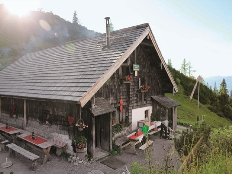
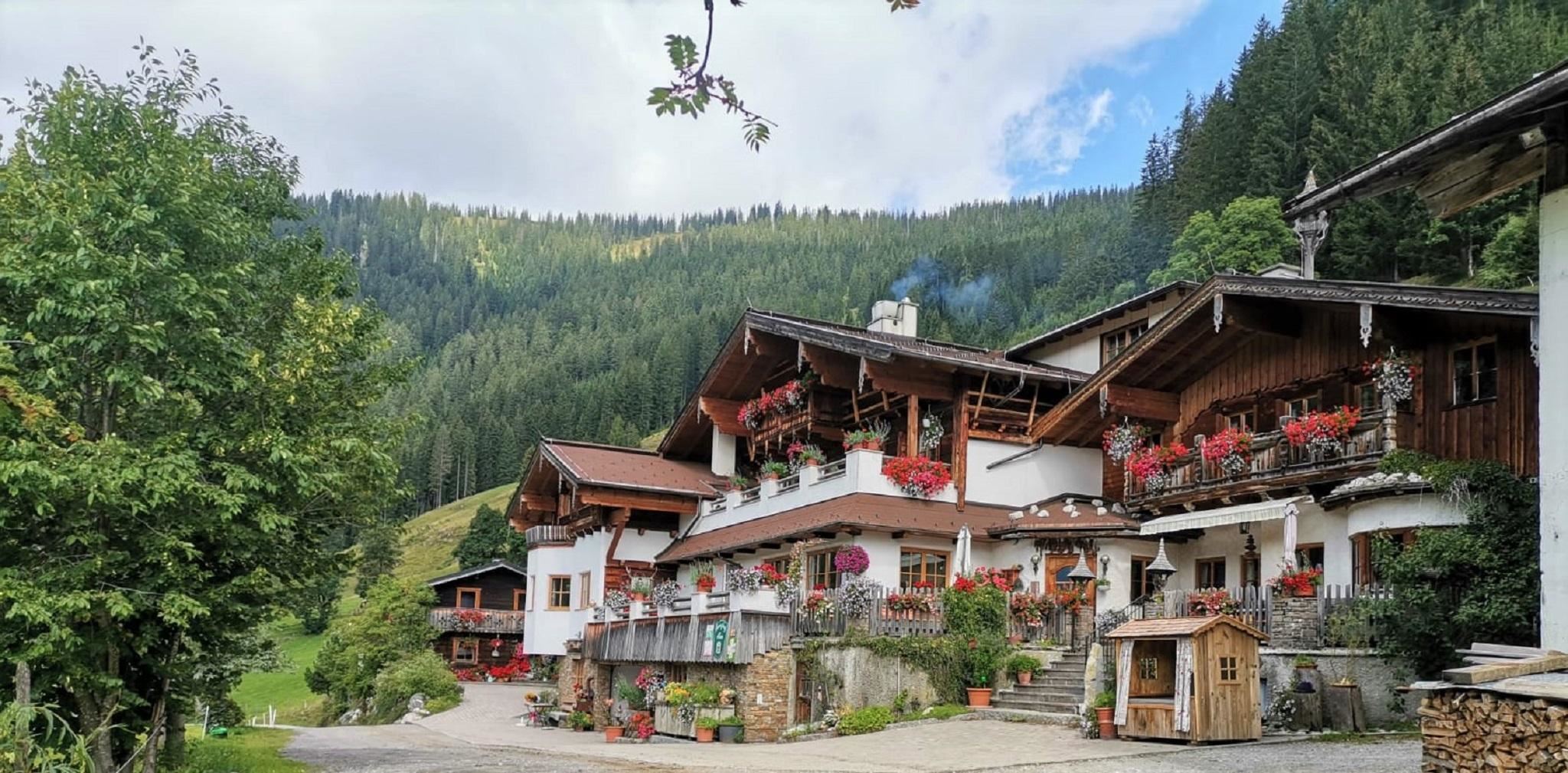
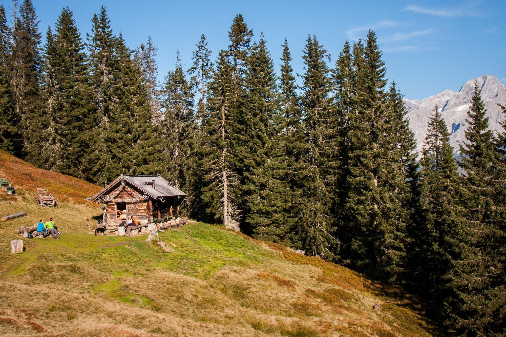
 Mountain hut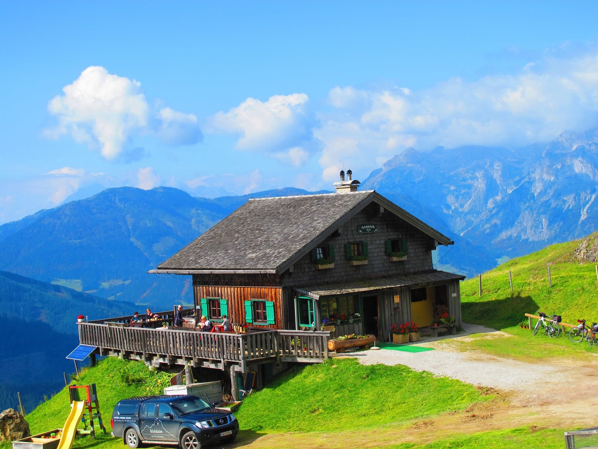






Curated by Filzmoos Tourismus
Annaberg-Lungötz
Two villages in the upper Lammertal between the Tennengebirge and the Gosaukamm, with the split summit of the Bischofsmütze closing the view to the east.
- 4Highlights
- 5Routes
- Featured summit · Gerzkopf
Highlights
11 from neighbouring places
Loseggalm-Langfeldhütte
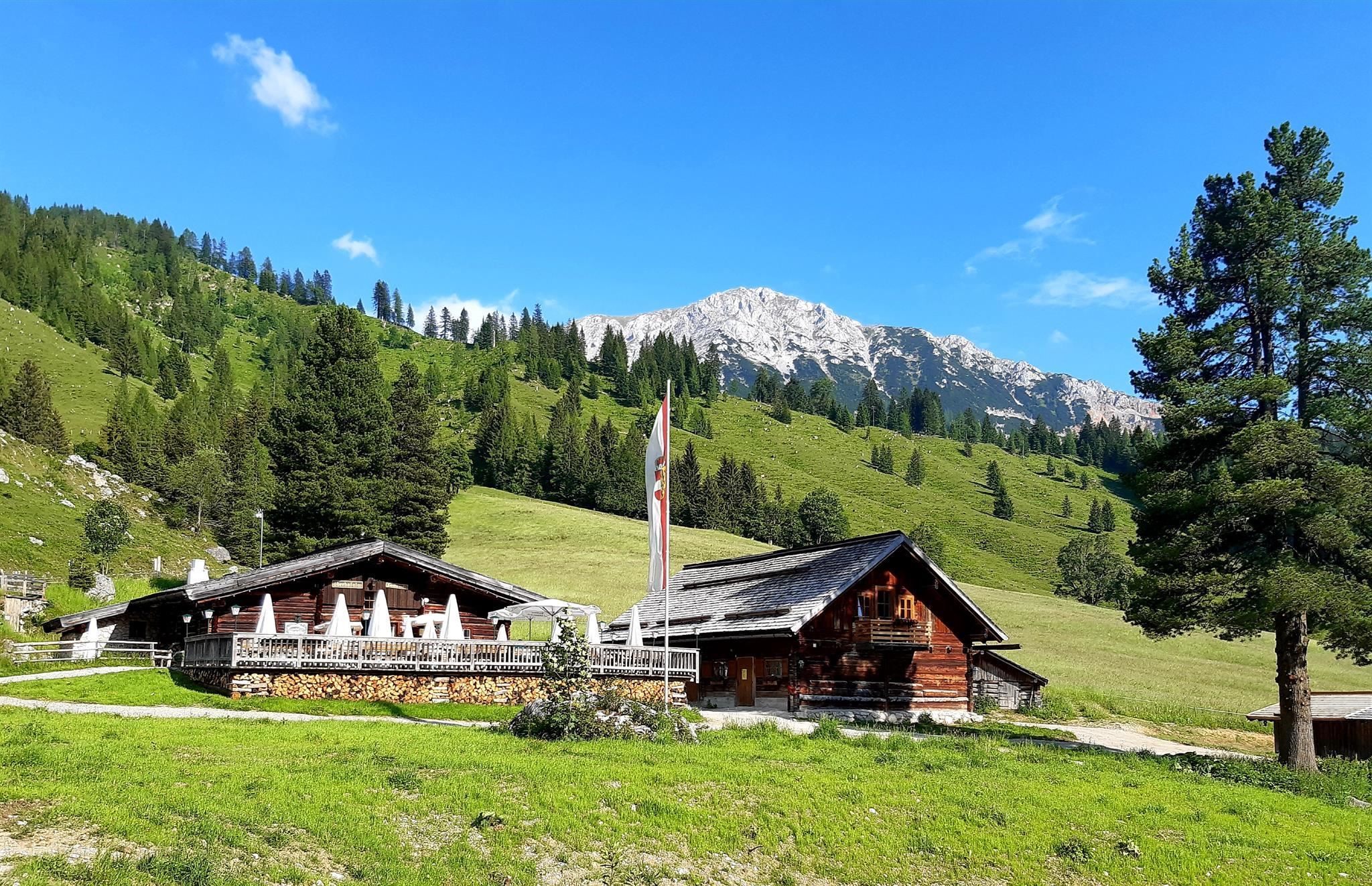
An alpine pasture hut with regional cooking in the mountains north of Filzmoos, open to walkers during the summer grazing season.
Mahdalm
A pasture hut in the walking country above Filzmoos, serving regional dishes below the rock peaks of the Gosaukamm.
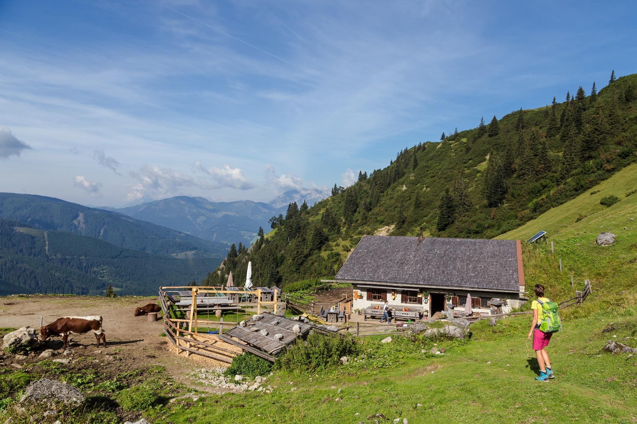
Schäferhütte
A shepherd's hut in the mountains west of Filzmoos, serving simple alpine fare to walkers in summer.
Sulzkaralm - Almsommerhütte des Jahres 2015
A pasture hut above Filzmoos named Salzburg's Almsommer hut of the year in 2015, serving regional farm dishes to walkers.
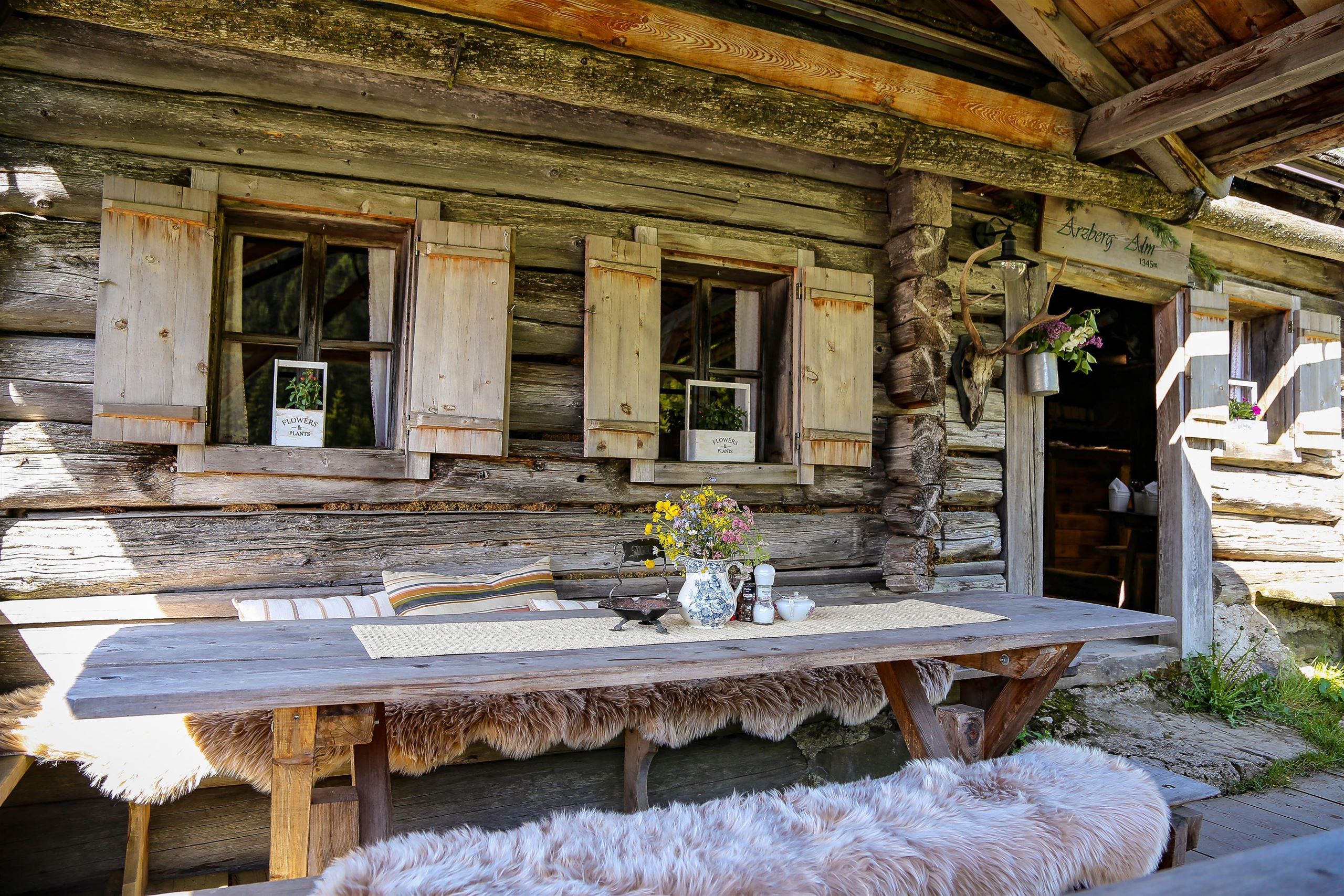
Arzbergalm 1.345 m
5.2 km away, in Filzmoos
A pasture hut at 1,345 m on the Arzberg above Filzmoos, serving regional dishes during the alpine summer.
Gsenghofalm
5.7 km away, in Filzmoos
An alpine pasture hut with regional cooking in the mountains west of Filzmoos, reached on the village's walking network.
Hofpürglhütte
6.7 km away, in Filzmoos
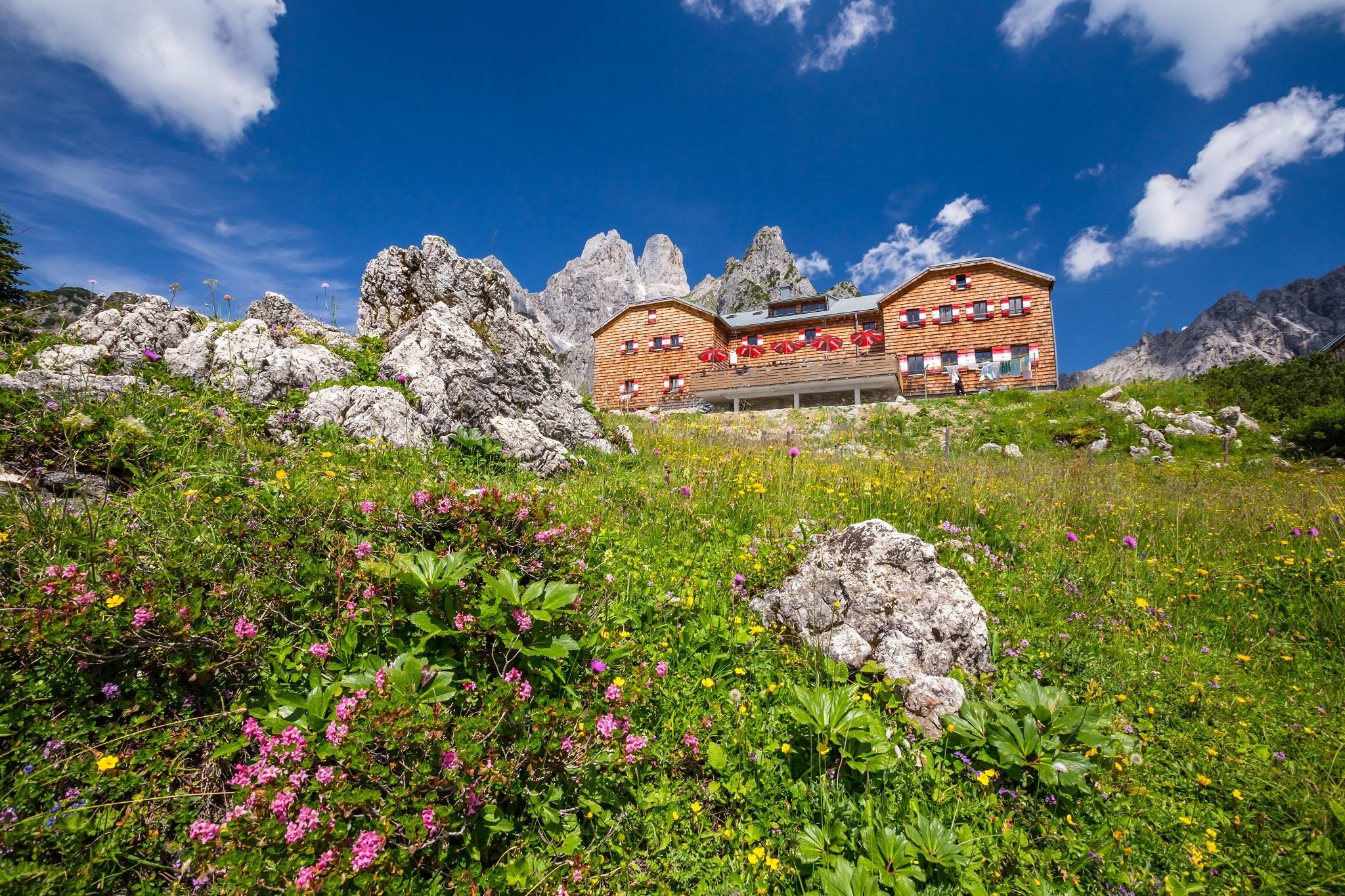
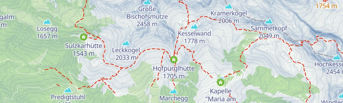
An Alpenverein hut at 1,705 m below the Bischofsmütze on the Gosaukamm, a base for climbers and for hut-to-hut walks above Filzmoos.
Unterhofalm 1.280 m
7.7 km away, in Filzmoos
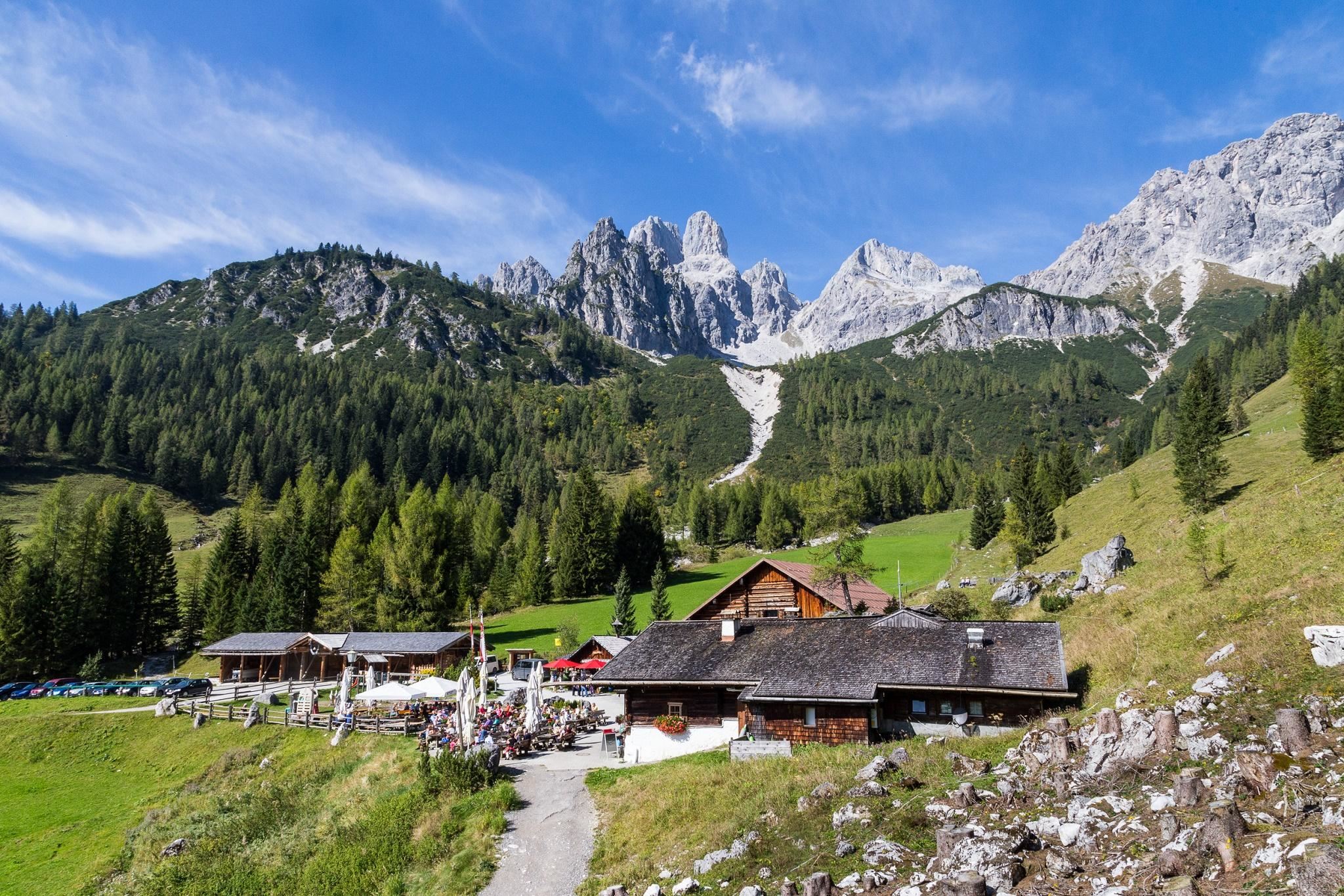
The lower of the two Hofalm pasture inns at 1,280 m above Filzmoos, set on open meadows facing the Bischofsmütze.
Oberhofalm 1.268 m
7.8 km away, in Filzmoos
A pasture inn at 1,268 m on the Hofalm meadows above Filzmoos, set directly below the rock towers of the Bischofsmütze.
Kapelle Maria zum Steineggl
7.9 km away, in Filzmoos
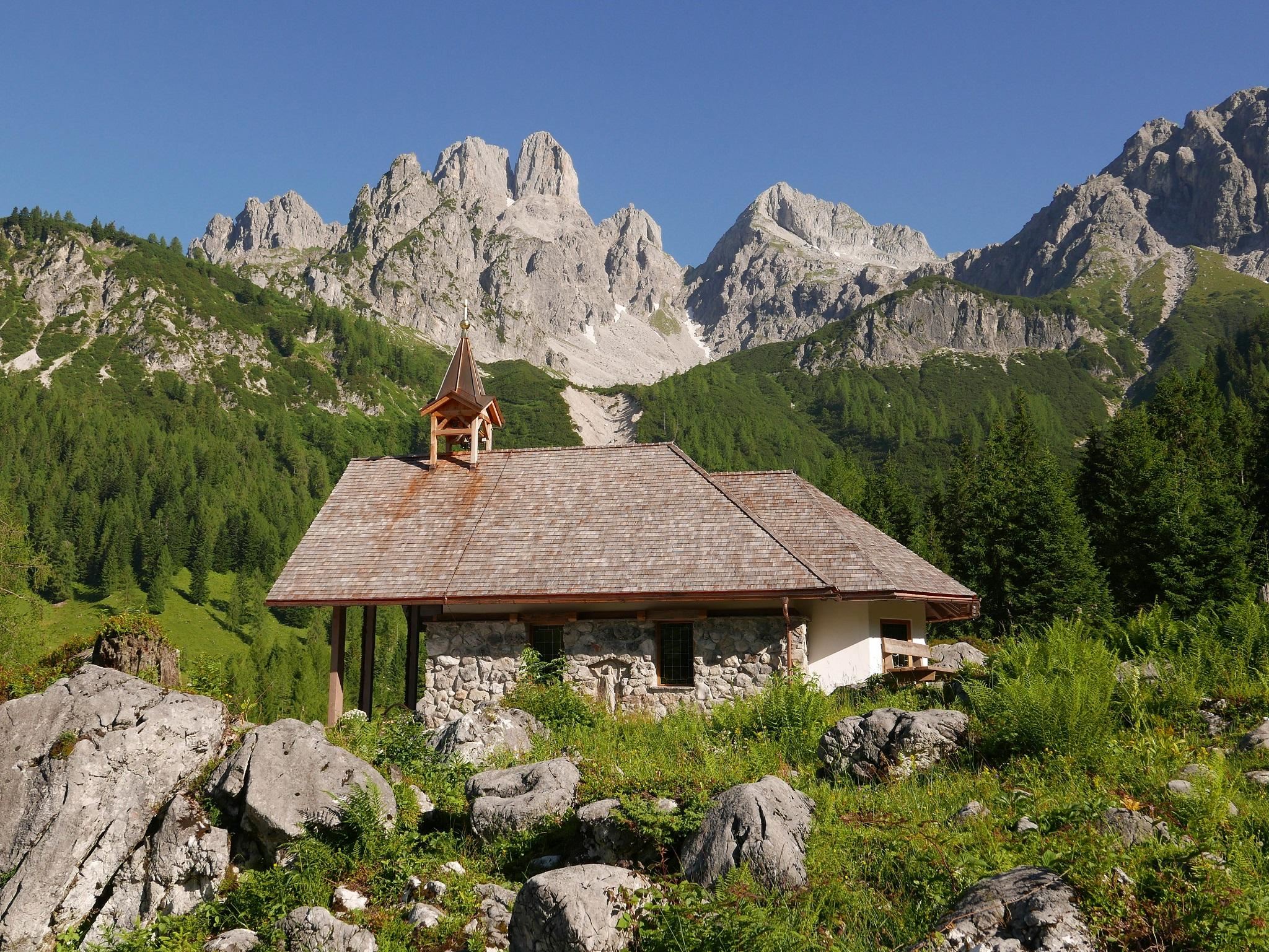
A small Marian chapel on the Hofalm meadows above Filzmoos, a wayside devotional stop below the Bischofsmütze.
Schwaigalm 1.358 m
8 km away, in Filzmoos
A pasture hut at 1,358 m above Filzmoos, run as a ski hut in winter and serving regional dishes to summer walkers.
Jausenstation Halmgut
8.4 km away, in Eben im Pongau
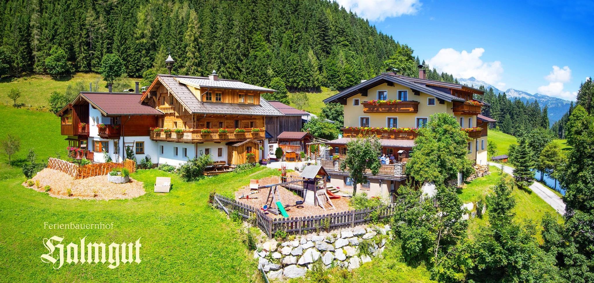
A farm snack stop at the Halmgut above Eben im Pongau, serving walkers on the slopes north of the village.
Kirchgasshütte/Aualm 1.366 m
8.7 km away, in Filzmoos
A pasture hut at 1,366 m on the Aualm above Filzmoos, serving regional farm dishes along the village's walking trails.
Holzwurmhütte 1.074 m
9.1 km away, in Filzmoos
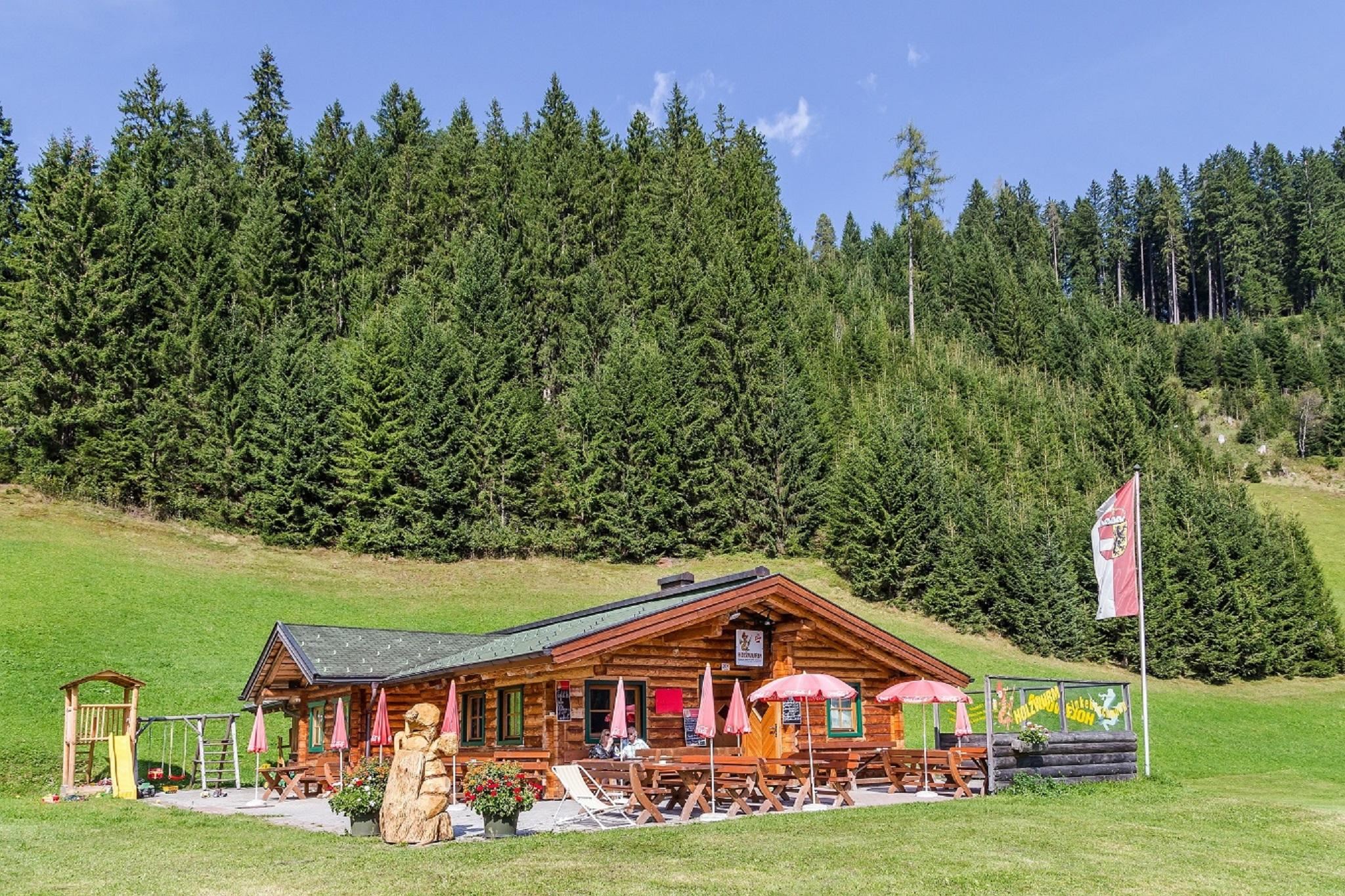
A ski and snack hut at 1,074 m just above Filzmoos; the name means woodworm, and regional dishes are served near the valley runs.
Krahlehenhütte - Sulzenalm
9.3 km away, in Filzmoos
A hut on the Sulzenalm pastures above Filzmoos, a certified farm kitchen serving regional produce below the Gosaukamm.
Nothing of this kind in Annaberg-Lungötz.
Routes
15 from neighbouring places
Etappe 1: Dachstein Rundwanderweg
From the Vorderer Gosausee the opening day climbs over the Törlecksattel, passing the Gablonzer Hütte and the Stuhlalm before the Hofpürglhütte.
- 12.2 km
- Distance
- 1 193 m
- Ascent
- 5 h 52 min
- Duration
- 72
- Check-ins
Variante Sulzkaralm (SW05-V1)
A short spur up to the Sulzkarhütte at 1,543 m, a variant off the main Filzmoos alm circuit.
- 1.4 km
- Distance
- 77 m
- Ascent
- 10 min
- Duration
- 1
- Check-ins
Rund um den Gerzkopf (SW64)
A circuit around the Gerzkopf from Eben im Pongau, crossing the Langeggsattel at 1,313 m and passing the Neubergerhof and a pair of ski lifts.
- 36.9 km
- Distance
- 905 m
- Ascent
- 4 h 8 min
- Duration
Rund um die Bischofsmütze Etappe 3
The closing day of the round beneath the Bischofsmütze, linking the Stuhlalm, Breininghütte and Gablonzer Hütte, with a mountaineers' memorial on the Gosau side.
- 16.3 km
- Distance
- 497 m
- Ascent
- 5 h 29 min
- Duration
- 53
- Check-ins
Salzburger Almenweg - Etappevariante 23a: Hofpürglhütte – Gerzkopf – St. Martin
A variant of stage 23 that rejoins the Salzburger Almenweg over the Gerzkopf, running from the Hofpürglhütte past the Schwarze Lacken and the Sulzkarhütte to St. Martin.
- 19.8 km
- Distance
- 574 m
- Ascent
- 6 h 46 min
- Duration
- 36
- Check-ins
Arzbergalm über Forststraße
6.4 km away, in Filzmoos
An easy forest-road walk above Filzmoos, climbing from the Neubergerhof to the dairy hut at the Arzbergalm.
- 4.4 km
- Distance
- 301 m
- Ascent
- 1 h 31 min
- Duration
- 1
- Check-ins
Übungsklettersteig "Albert-Weiß-Steig"
6.6 km away, in Filzmoos
A very short practice via ferrata on the Lechnerturm, put up by mountain rescue and local climbers for training and quick sessions.
- 85 m
- Distance
- 0 m
- Ascent
- 2 min
- Duration
Etappe 2: Dachstein Rundwanderweg
6.7 km away, in Filzmoos
The second day of the Dachstein circuit, a high traverse from the Hofpürglhütte over the Kesselwand, the Rinderfeld and the Sulzenhals to the Dachsteinsüdwandhütte.
- 10.9 km
- Distance
- 832 m
- Ascent
- 5 h 8 min
- Duration
- 54
- Check-ins
Klettersteig auf den Steiglkogel
6.7 km away, in Filzmoos
A short alpine via ferrata above the Hofpürglhütte, its secured sections leading by the Steiglpass to the Steiglkogel; a head for heights is needed.
- 2.4 km
- Distance
- 547 m
- Ascent
- 2 h 32 min
- Duration
- 25
- Check-ins
Skitour Schwaigalm über Forststrasse
6.8 km away, in Filzmoos
A beginner's ski tour following the forest road up to the Schwaigalm, a little over 300 m of climbing.
- 3.7 km
- Distance
- 302 m
- Ascent
- 0 m
- Descent
- 1 h 14 min
- Duration
- 4
- Check-ins
Backcountry Skitour Sulzenschneid
7.8 km away, in Filzmoos
A well-liked 720 m ski tour past the Wallehenalm and Sulzenalm to the Sulzenhals, worthwhile in powder and equally good on spring firn.
- 3.3 km
- Distance
- 722 m
- Ascent
- 0 m
- Descent
- 1 h 57 min
- Duration
- 11
- Check-ins
Variante Sulzenalm (SW07-V1)
7.9 km away, in Filzmoos
A steep short variant up to the Sulzenalm at 1,614 m, by the Krahlehenhütte and the Wallehenalm.
- 3.2 km
- Distance
- 377 m
- Ascent
- 35 min
- Duration
- 7
- Check-ins
Mit dem Rennrad über die Postalm
11.2 km away, in Gosau
A long road-bike day out of Gosau in the Salzkammergut, built around the climb up onto the Postalm plateau and the descent back.
- 82.0 km
- Distance
- 1 784 m
- Ascent
- 8 h 57 min
- Duration
Skitour Sulzenhals mit Variante Rötelstein
11.6 km away, in Filzmoos
A Filzmoos ski tour past the Schaidlalm to the saddle under the Bischofsmütze, with a steeper variant continuing onto the Rötelstein for over 1,100 m of total climbing.
- 5.5 km
- Distance
- 1 102 m
- Ascent
- 1 102 m
- Descent
- 3 h 33 min
- Duration
- 13
- Check-ins
Variante Gsenghofalm (SW03-V2)
7.1 km away, in Filzmoos
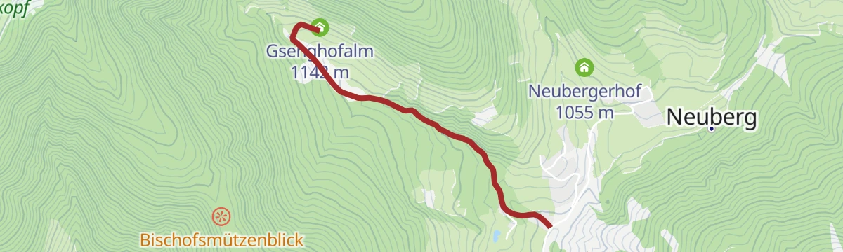
A short variant climbing to the Gsenghofalm at 1,142 m off the Filzmoos alm network.
- 2.1 km
- Distance
- 145 m
- Ascent
- 16 min
- Duration
Sunnseitn Runde Ramsau (SD 821)
10.1 km away, in Filzmoos
A round on the sunny side of the Ramsau plateau, by the Mandlberggut and the Adlerhorst above the Enns.
- 48.1 km
- Distance
- 830 m
- Ascent
- 5 h 3 min
- Duration
- 12
- Check-ins
Rund um die Bischofsmütze "Etappe 2"
6.7 km away, in Filzmoos
The middle day of the three-stage round of the Bischofsmütze, 1,446 m of climbing from the Gablonzer Hütte over the Steiglpass to the Hofpürglhütte, with a climbers' memorial on the Gosau side.
- 8.7 km
- Distance
- 1 477 m
- Ascent
- 8 h 43 min
- Duration
- 64
- Check-ins
Österreichberg | Rundweg (verkürzte Route ab Halmgut)
8.5 km away, in Eben im Pongau
The shorter way around the Österreichberg, starting at the Halmgut farm: under 7 km with only about 200 m of climbing.
- 6.6 km
- Distance
- 219 m
- Ascent
- 2 h 5 min
- Duration
Dachstein Westgrat Klettersteig
13.8 km away, in Obertraun
A west-ridge climb to the Hoher Dachstein reached over the Steiner Scharte and the Gosau glacier, where crampons and a rope are required; the descent uses the Randkluft or Schulter routes.
- 7.0 km
- Distance
- 210 m
- Ascent
- 3 h 8 min
- Duration
- 134
- Check-ins
Salzburger Gipfelspiel: Zum Gerzkopf und zur Schwarzen Lacke
6.7 km away, in Eben im Pongau
From Schattbachwinkel, forest tracks and steeper paths climb past fields of mountain pine and the Schwarze Lacken to the Gerzkopf, a viewpoint wrapped in local legend.
- 8.3 km
- Distance
- 541 m
- Ascent
- 3 h 39 min
- Duration
- 14
- Check-ins
No routes of this kind in Annaberg-Lungötz yet.
The region's own picks

Featured route
Etappe 1: Dachstein Rundwanderweg
From the Vorderer Gosausee the opening day climbs over the Törlecksattel, passing the Gablonzer Hütte and the Stuhlalm before the Hofpürglhütte.
Planning a trip to Annaberg-Lungötz?
Everything else Salzburg (state) has, in one place


Take Annaberg-Lungötz with you into the mountains
Every route on this page with 3D terrain, GPX navigation and offline maps — including the valleys with no signal.
Data sources
- Official website: filzmoos.at ↗
- Routes and highlights: Filzmoos Tourismus, Salzburger Sportwelt, Schladming-Dachstein Tourismus, Salzkammergut
- Published as open data by the tourist boards named above.
- Region summary generated from the board's own material.
