
 Historic site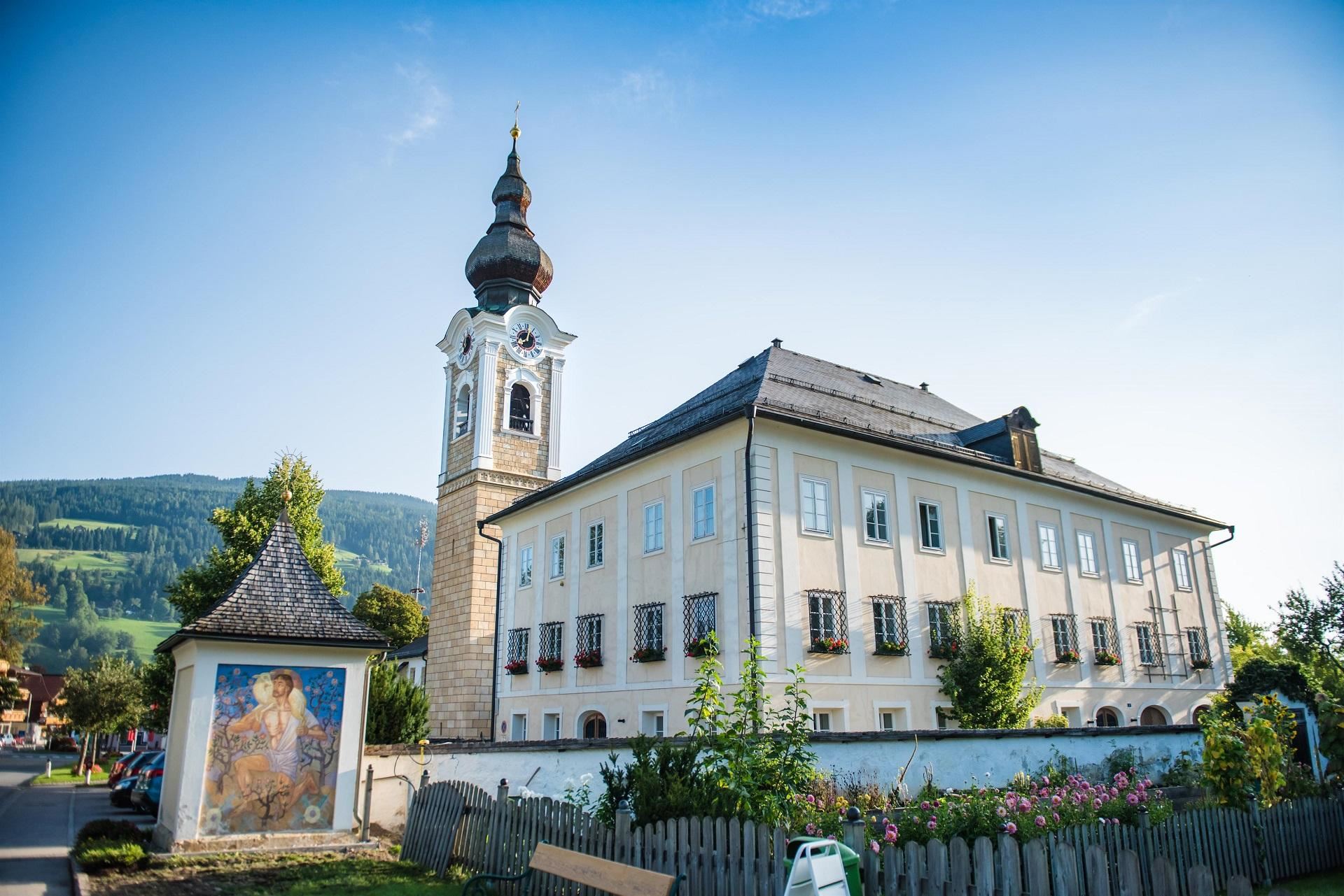
 Cable car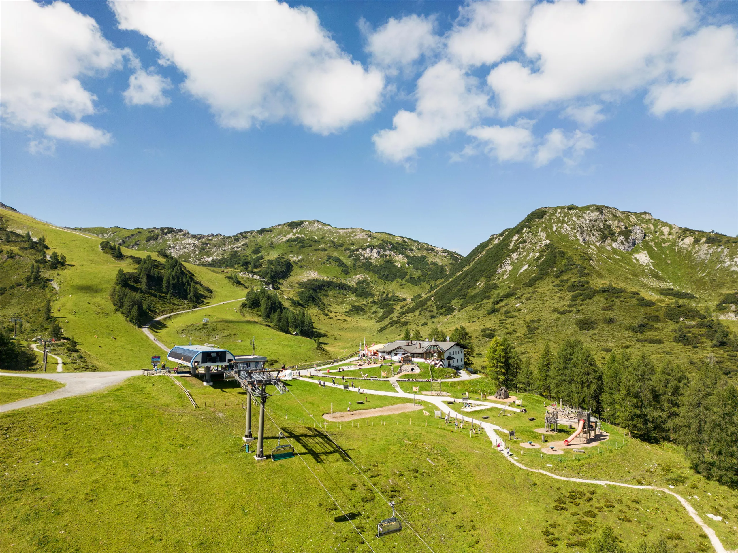













Curated by Altenmarkt-Zauchensee Tourismus
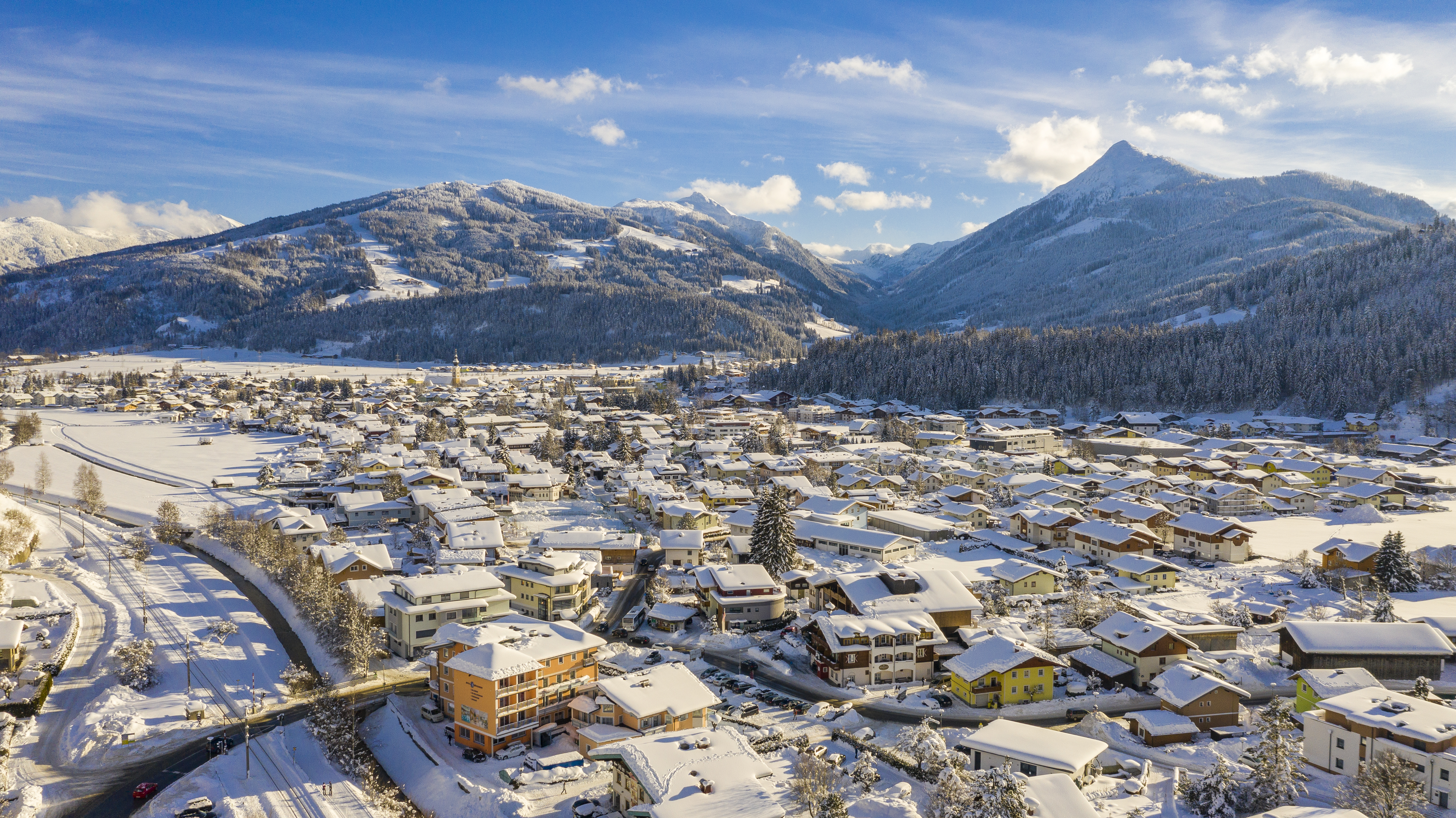
Altenmarkt im Pongau
Old market village in the upper Ennstal of the Pongau where the road turns south to the ski bowls of Zauchensee, its church keeping a celebrated Gothic Madonna.
- 35Highlights
- 141Routes
- Featured summit · Rossbrand
Highlights
The 20 highest-rated · see the rest on altenmarkt-zauchensee.at ↗
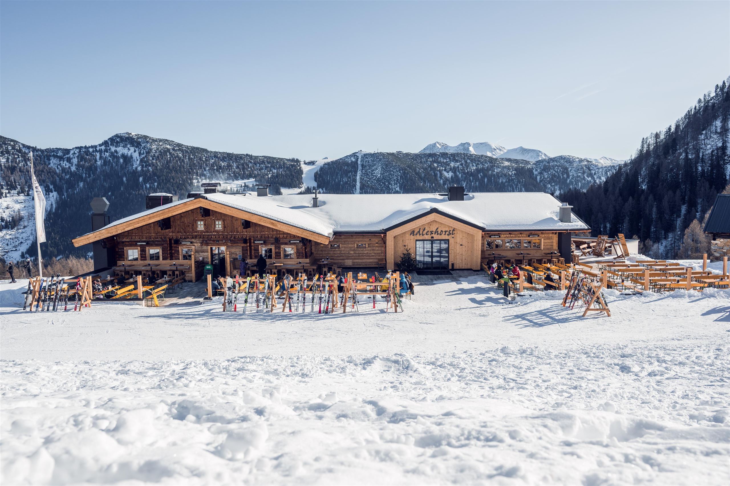
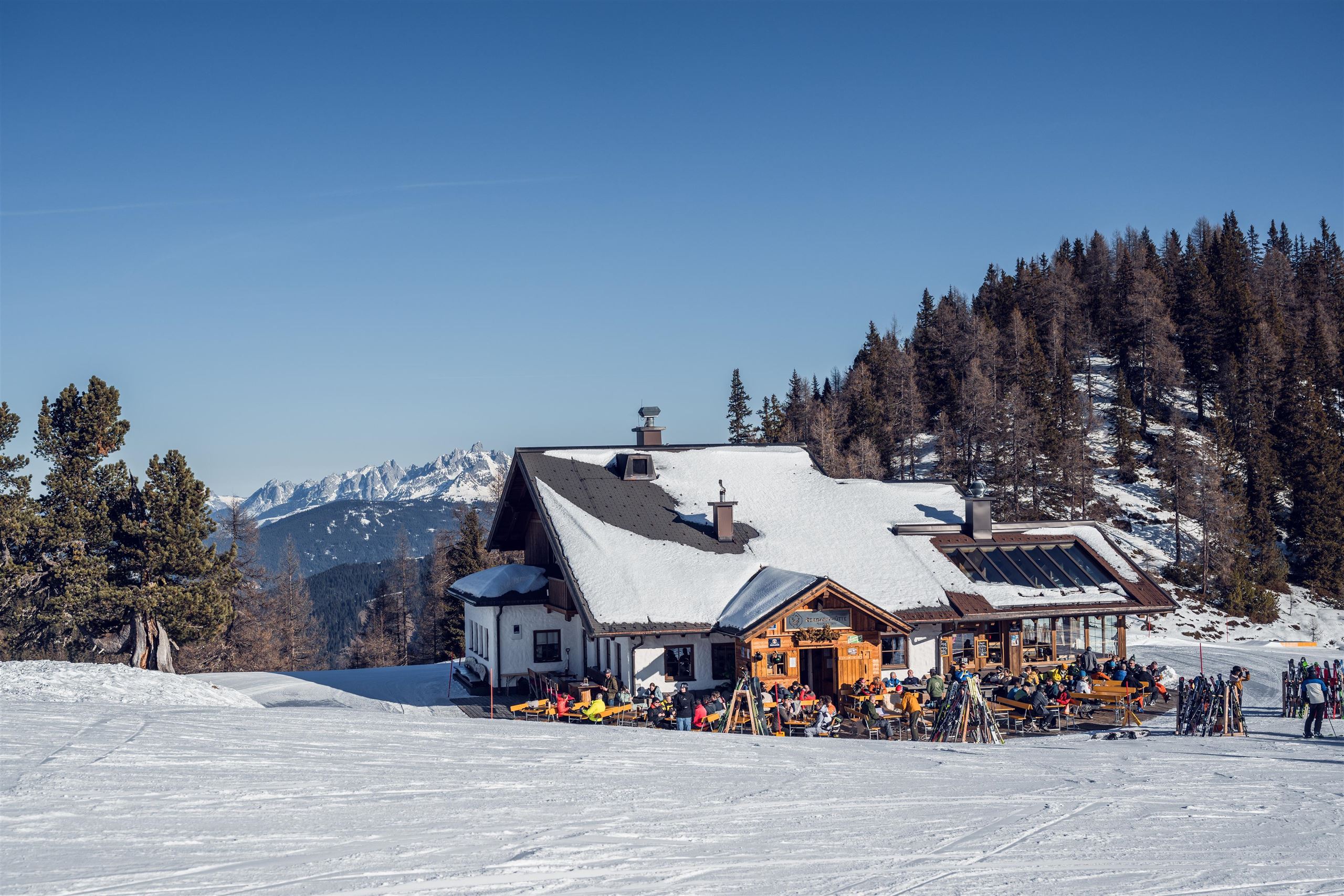
Adlerhorst
A ski and snack hut in the Zauchensee ski area above Altenmarkt; the name means eagle's eyrie, and regional dishes are served beside the slopes.
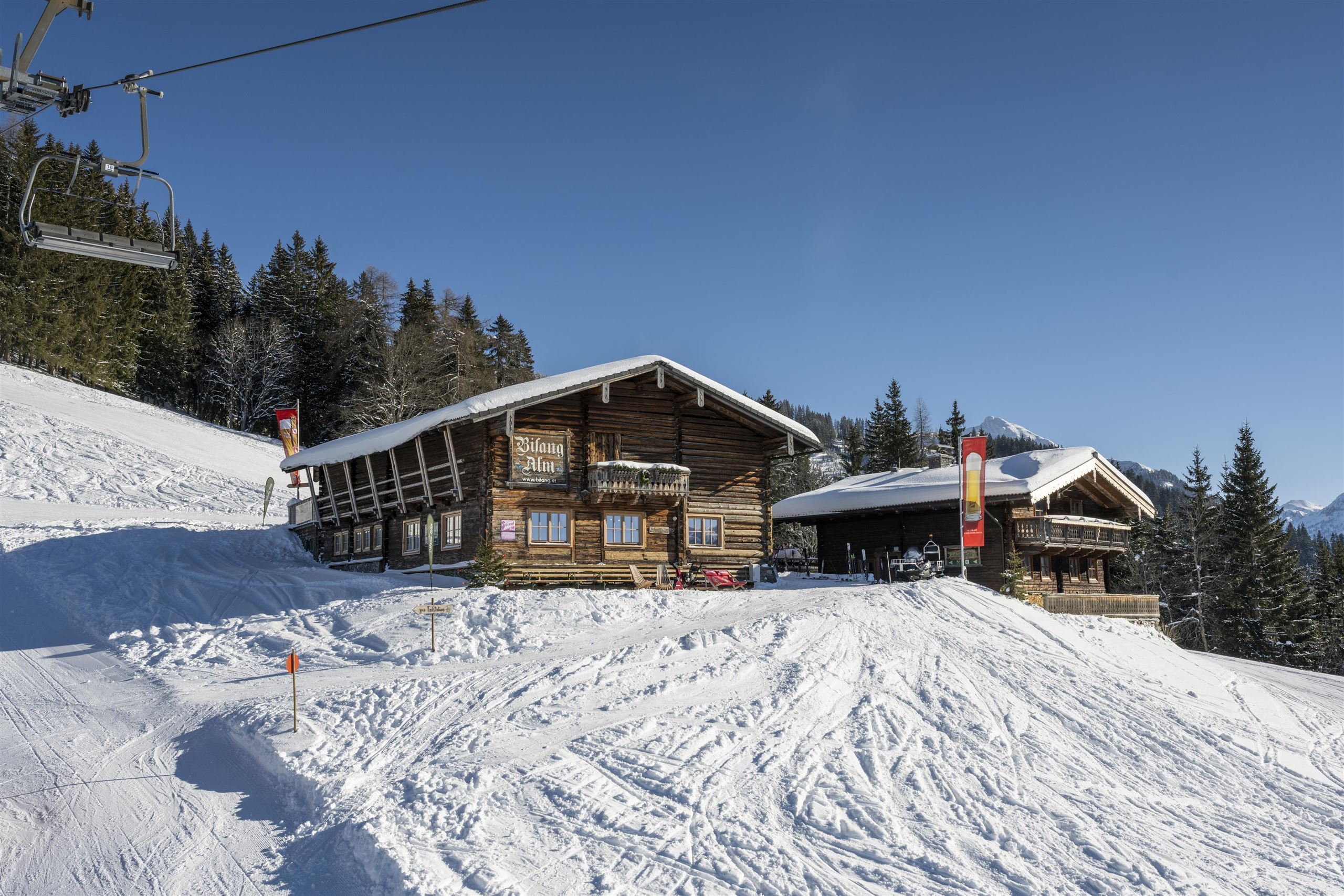
Bifang-Alm
A ski hut on the Altenmarkt side of the local slopes, serving regional dishes to skiers in winter and walkers in summer.
Die urige Hinterkuchlberghütte
A small rustic pasture hut on the Hinterkuchlberg above Altenmarkt, serving snacks and regional farm cooking to walkers.
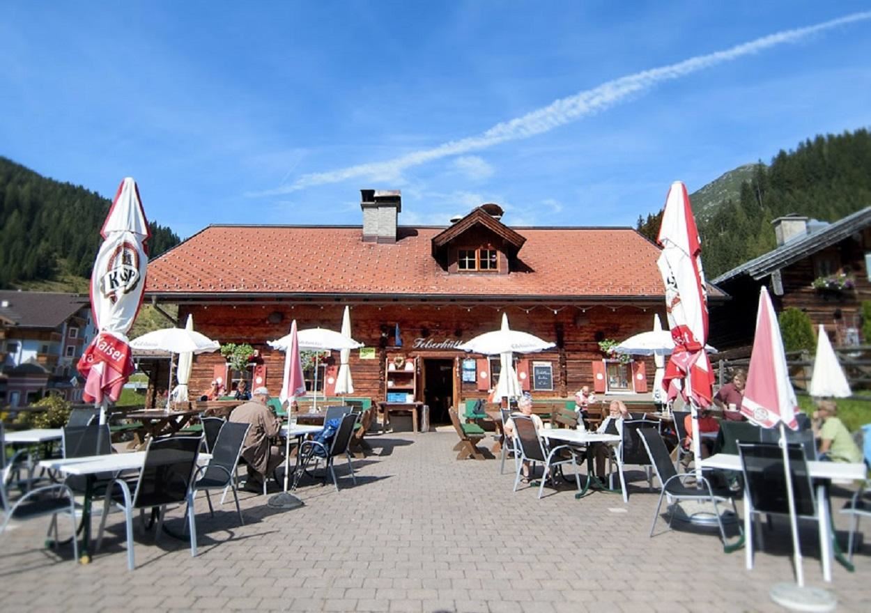
Felserhütte
A hut restaurant in the Zauchensee ski mountains above Altenmarkt, serving regional and vegetarian food to skiers and walkers.
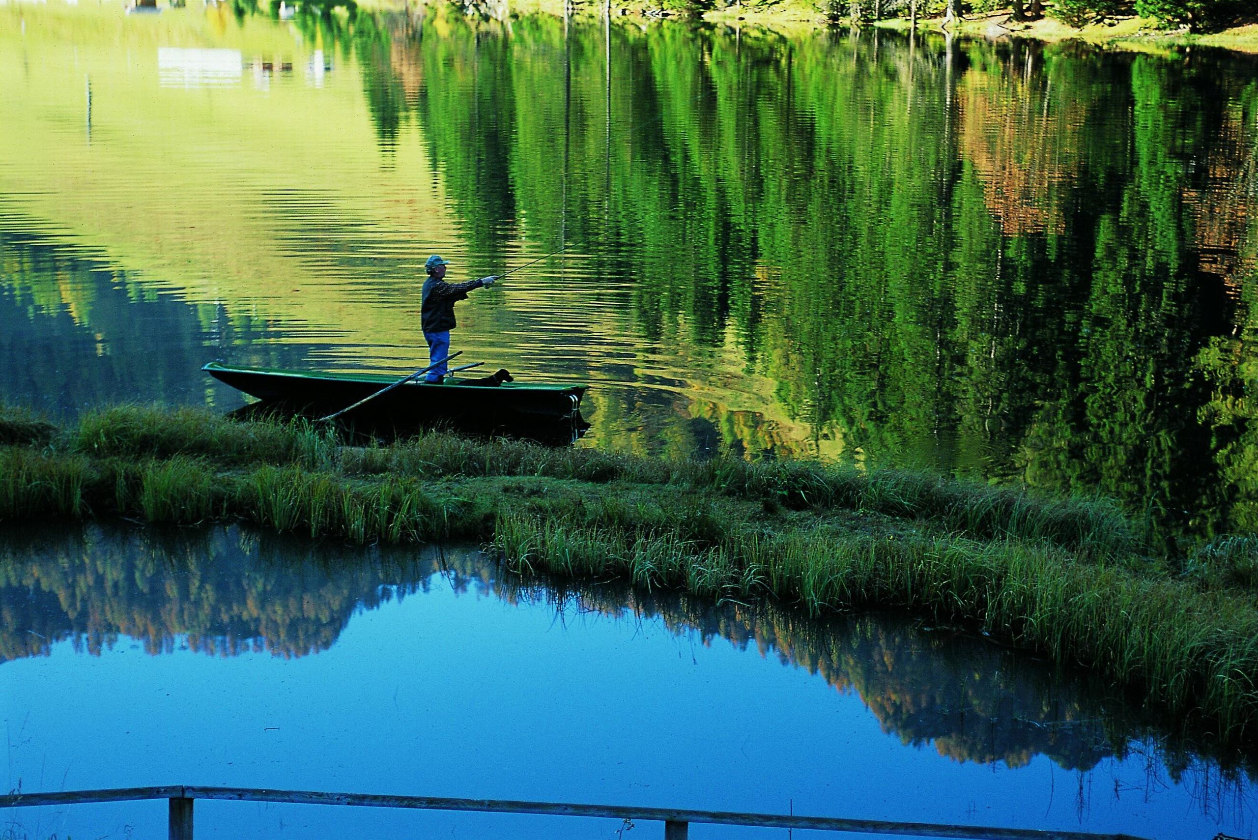
Fliegenfischen in Zauchensee
Fly fishing on the small mountain lake at Zauchensee, high above Altenmarkt in the Pongau, offered in the summer months.
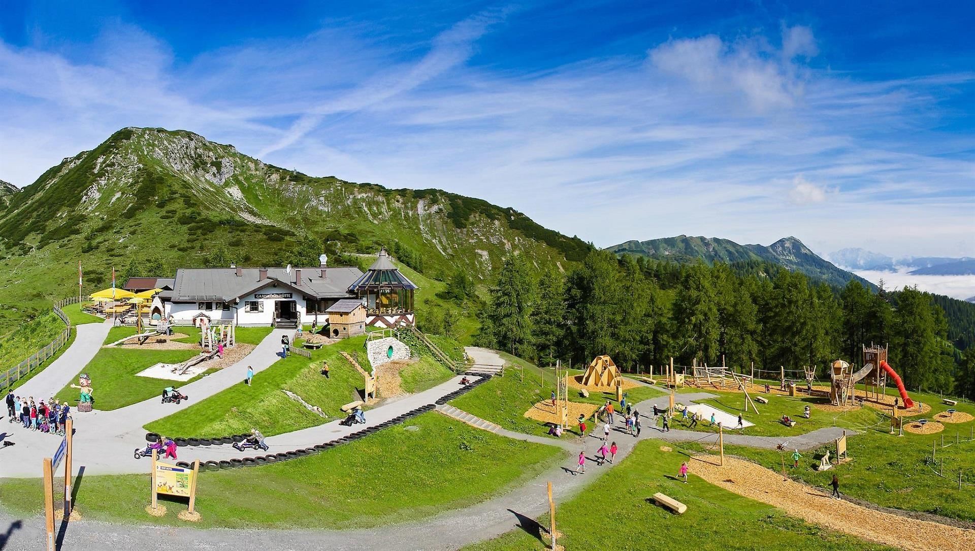
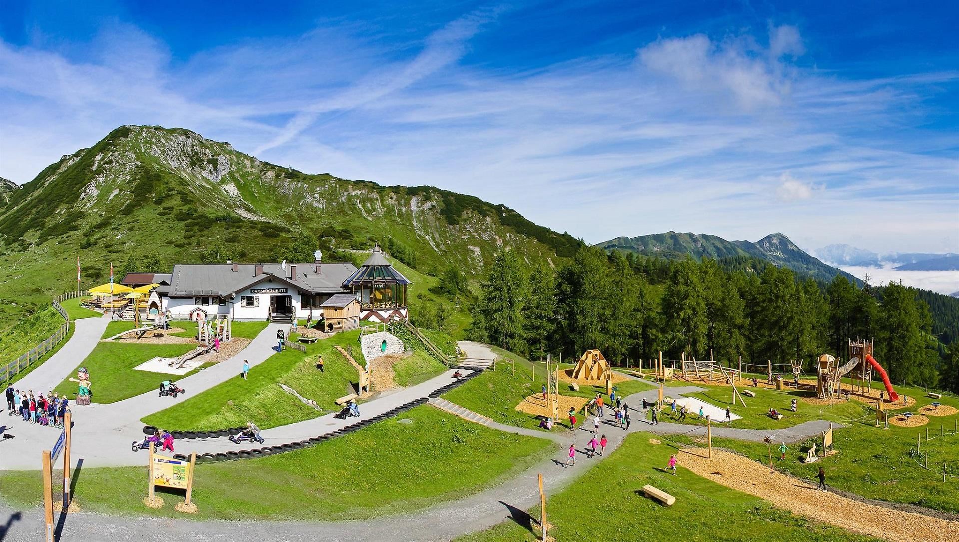
Gamskogelhütte
A ski hut on the Gamskogel at Zauchensee, serving regional dishes on the mountain above the World Cup slopes.
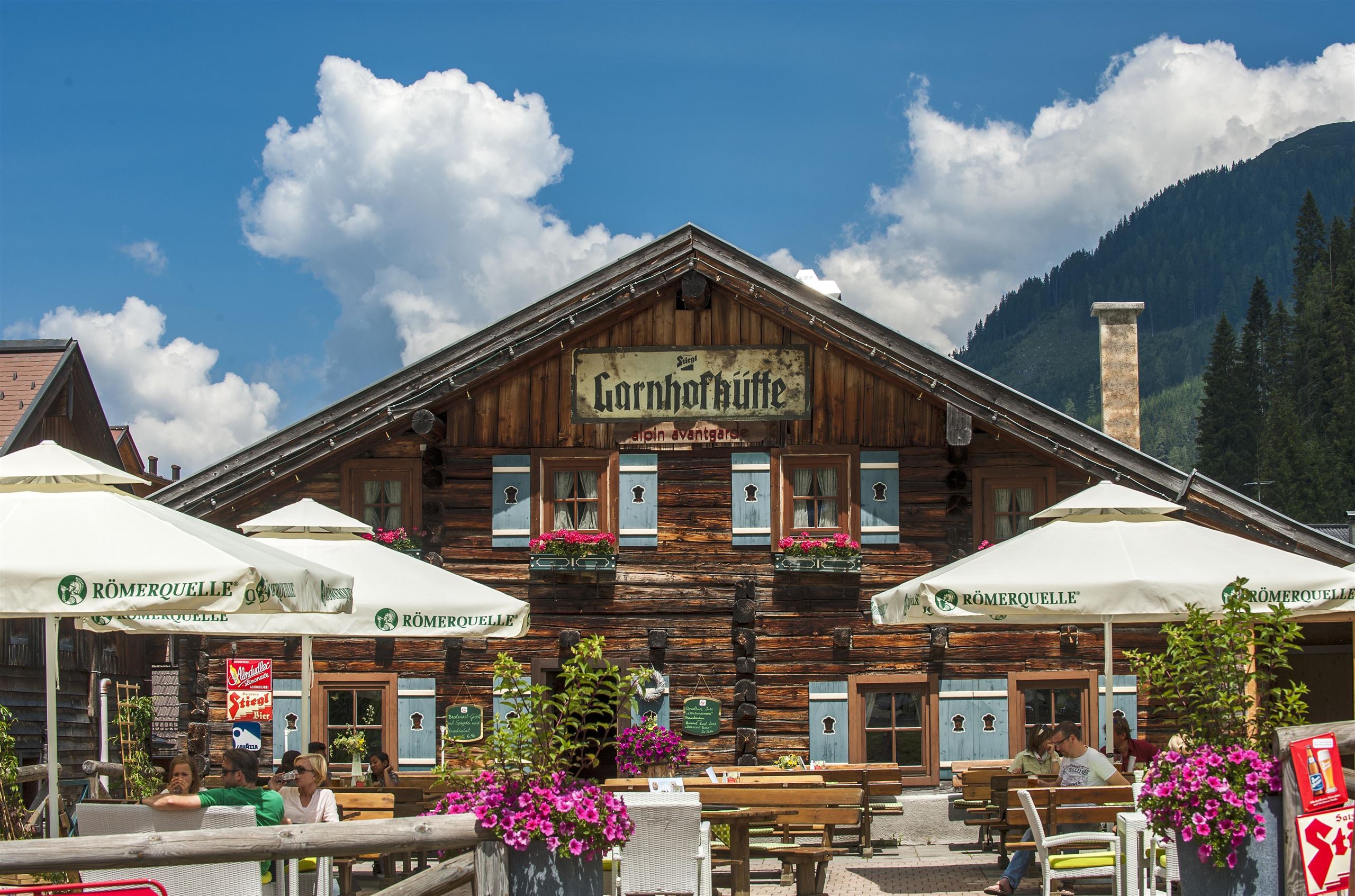
Garnhofhütte
A hut restaurant and snack station in the Zauchensee ski area above Altenmarkt, serving regional dishes through the winter season.
Hochnössleralm
A ski hut with après-ski bar on the slopes above Altenmarkt, between the village and the Zauchensee ski area.
Jausenstation Habersattgut
A farm snack stop at the Habersattgut near Altenmarkt im Pongau, serving simple food to walkers and cyclists.
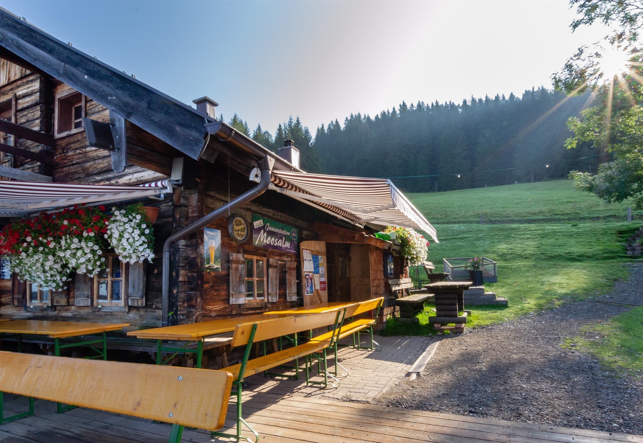
Moosalm
An alpine pasture inn above Eben im Pongau, serving walkers in summer and skiers in the Salzburger Sportwelt in winter.
Oberbuchsteinalm
A pasture hut and snack station on the Buchstein slopes between Eben im Pongau and Altenmarkt, serving regional farm dishes.
Reitlehenalm
An alpine pasture inn on the slopes above Altenmarkt, doubling as a ski hut in winter and a stop for walkers in summer.
Rosskopfhütte
A ski hut below the Rosskopf in the Zauchensee ski mountains, serving regional and vegetarian dishes to skiers and walkers.
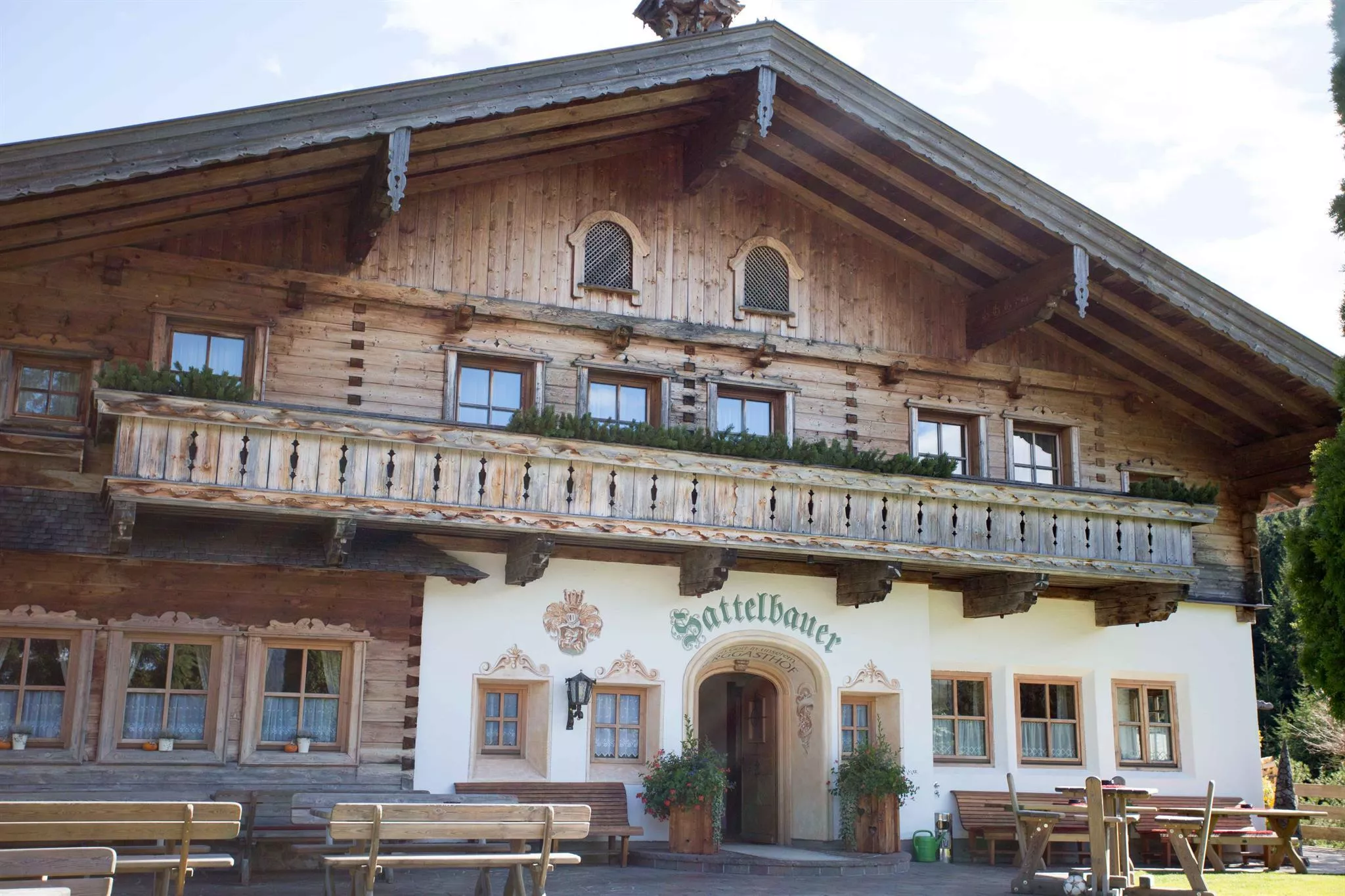
Sattelbauer
A mountain inn and restaurant above Flachau serving regional dishes, with rooms for private celebrations.
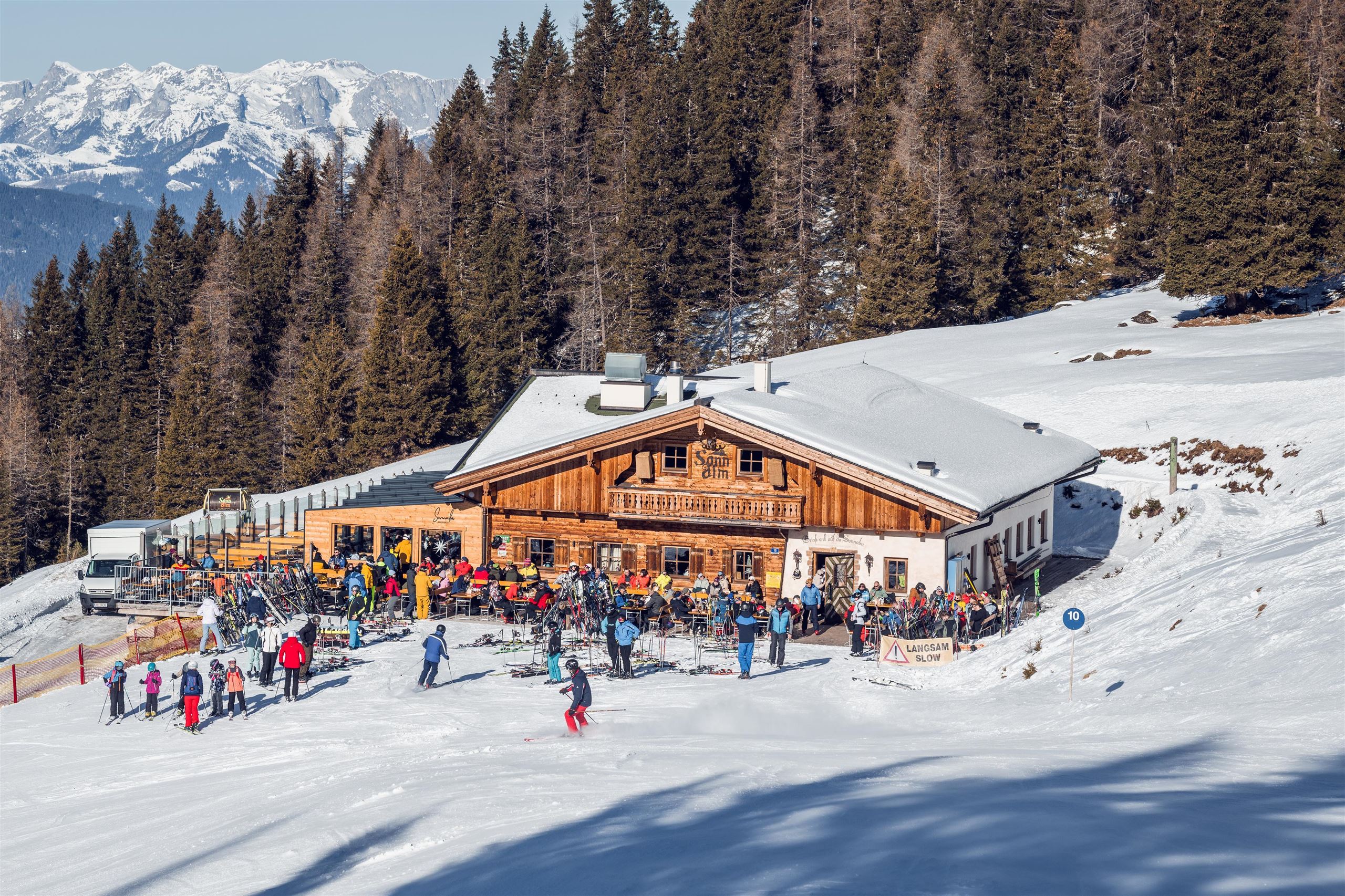
Sonnalm Zauchensee
A mountain restaurant on the Zauchensee ski slopes, serving regional and vegetarian dishes in the ski area around the small Zauchensee lake.
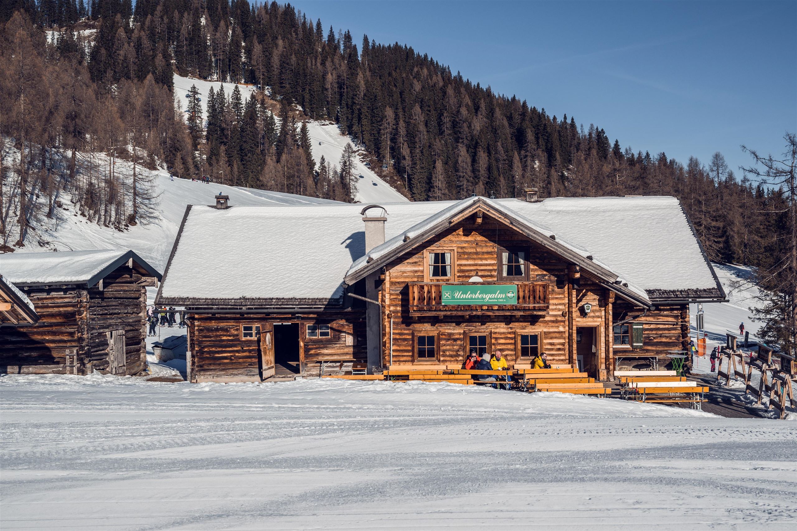
Unterbergalm
A ski hut with après-ski in the Zauchensee ski area above Altenmarkt, serving regional dishes beside the slopes.
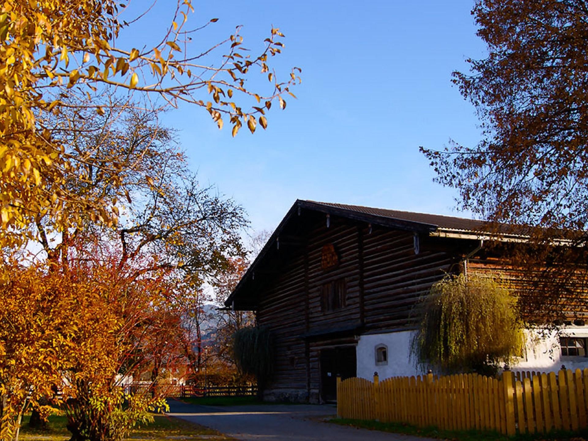
Dechantshoftenne Altenmarkt
The great barn (Tenne) of the deanery farm in Altenmarkt, a preserved piece of the market village's old ecclesiastical farm estate.
Pfarrkirche Altenmarkt
The parish and pilgrimage church of Altenmarkt im Pongau, home to the 'Schöne Madonna', a Gothic statue of the Virgin from around 1400 venerated by pilgrims.
Familien- und Erlebnisberg Gamskogel
A family mountain at Zauchensee served by the Gamskogel lifts, combining cable-car access with play stations and easy walking in summer.
Gamskogelbahn (Berg- und Talfahrt)
A cable car from Zauchensee up the Gamskogel, used by skiers in winter and sold as an ascent-and-descent ride for summer walkers.
Nothing of this kind in Altenmarkt im Pongau.
Routes
50 routes, an even mix of activities · see the rest on altenmarkt-zauchensee.at ↗
Seekarsee-Tour
An easy hour's round to the Seekarsee below the Gamskögerl, gentle enough for a pushchair, with the Gamskogelhütte close by.
- 2.9 km
- Distance
- 113 m
- Ascent
- 58 min
- Duration
- 12
- Check-ins
 Gamskögerl 1 878 m
 Gamskogelhütte 1 877 m
 Seekarsee 1 961 m
4-Gipfel-Tour
Four summits in one 6 km outing above Zauchensee — the Arche, Tagweidegg, Schwarzkopf and Gamskogel — with the Gamskogelhütte on the round.
- 6.1 km
- Distance
- 565 m
- Ascent
- 3 h 31 min
- Duration
- 37
- Check-ins
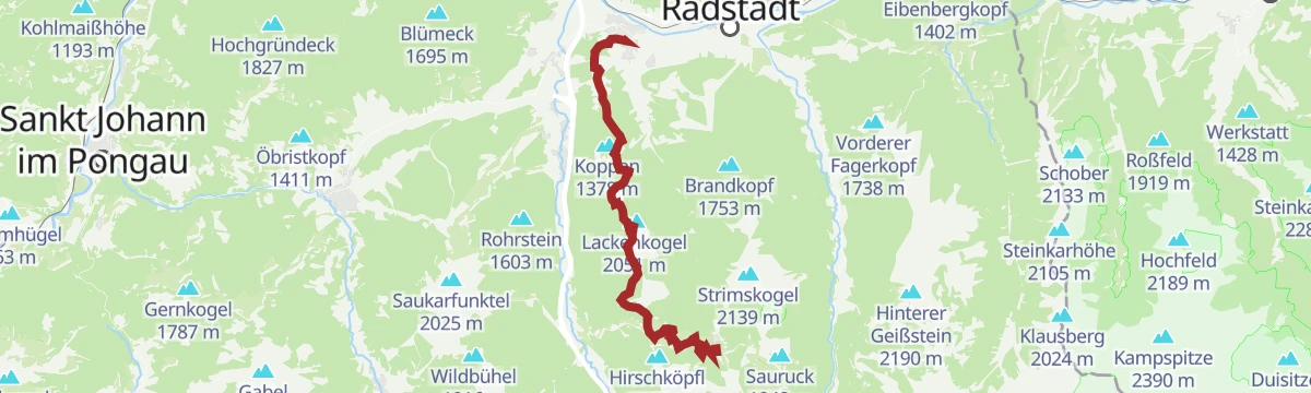
Höhentour Zauchensee - Hinterkogel - Lackenkogel - Flachau
A 19 km high traverse from Zauchensee to Flachau over the Hinterkogel, Rosskopf and Lackenkogel, with alm huts spaced along the ridge.
- 19.2 km
- Distance
- 1 066 m
- Ascent
- 8 h 22 min
- Duration
- 73
- Check-ins
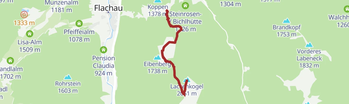
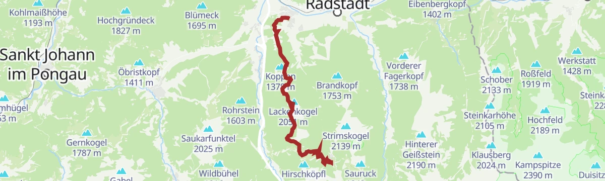
Skitour Lackenkogel
A moderate ski ascent of some 765 m from the Sattelbauer past the Lackenalm to the Lackenkogel, with several huts beside the track.
- 7.7 km
- Distance
- 758 m
- Ascent
- 758 m
- Descent
- 2 h 55 min
- Duration
- 33
- Check-ins
(E-)Bike Tour in die historische Stadt Radstadt
A short, flat ride from Altenmarkt over to the old town of Radstadt, passing the Stadtteich pond just outside the centre.
- 4.4 km
- Distance
- 22 m
- Ascent
- 24 min
- Duration
- 1
- Check-ins
- Radstadt Tourismus 857 m
- Stadtteich Radstadt 855 m
- Altenmarkt-Zauchensee Tourismus 842 m
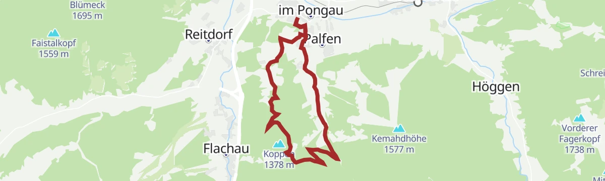
Sattelbauer-Runde Altenmarkt (SW24)
A forest-road climb from Altenmarkt im Pongau up to the Sattelbauer at 1,284 m, returning by the Steinrosen- and Bichlhütte.
- 13.7 km
- Distance
- 475 m
- Ascent
- 1 h 40 min
- Duration
- 11
- Check-ins
(E-)Bike Tour zur Dachstein Südwand Ramsau (19)
A long ride from Altenmarkt by way of Filzmoos to Ramsau, climbing to the Austriahütte at 1,638 m below the Dachstein south face.
- 62.8 km
- Distance
- 1 591 m
- Ascent
- 7 h 4 min
- Duration
- 56
- Check-ins
Filzmoos - Ennstal Rennradrunde
A road circuit from Schladming down the Ennstal to Haus im Ennstal, then up to Filzmoos and back along the Ramsau terrace.
- 75.2 km
- Distance
- 1 284 m
- Ascent
- 7 h 53 min
- Duration
- 34
- Check-ins
Weg zur Moosalm
From the centre of Altenmarkt an easy 90-minute walk through shady forest to the Moosalm at 1,280 m, where cows and goats graze beside the sun terrace.
- 4.5 km
- Distance
- 271 m
- Ascent
- 1 h 29 min
- Duration
- 3
- Check-ins
Die 4-Gipfeltour im Wanderparadies Zauchensee
A ring of the four highest tops around the Seekarsee: the Arche at 2,060 m, the Tagweidegg, the Schwarzkopf at 2,263 m and the Gamskogel with its World Cup start slope.
- 6.3 km
- Distance
- 608 m
- Ascent
- 3 h 46 min
- Duration
- 37
- Check-ins
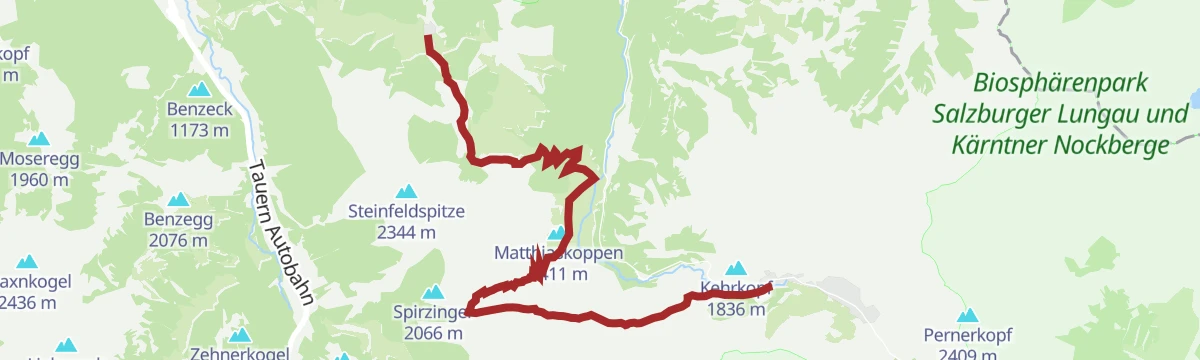
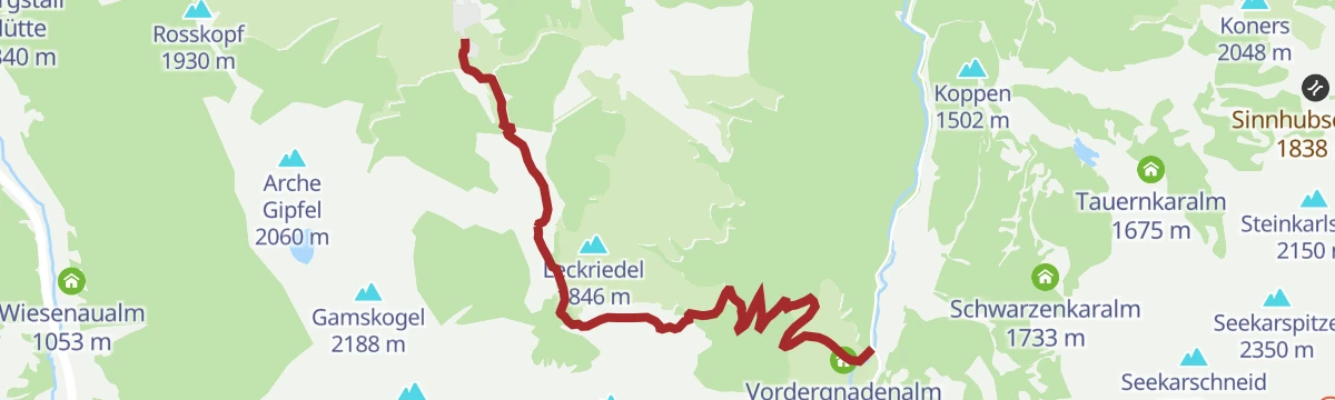
Salzburger Almenweg - Etappe 18: Zauchensee – Gnadenalm - Obertauern
Stage 18 of the Salzburger Almenweg, up and down again through the Niedere Tauern from Zauchensee past the Südwiener Hütte and the Gnadenalm to Obertauern.
- 19.0 km
- Distance
- 985 m
- Ascent
- 6 h 36 min
- Duration
- 62
- Check-ins
Skitour Strimskogel Zauchensee
From Zauchensee at 1,339 m a switchbacking ski climb past the Strimsalmen to the 2,139 m Strimskogel, on the ridge between Untertauern and the valley.
- 3.0 km
- Distance
- 788 m
- Ascent
- 0 m
- Descent
- 2 h 3 min
- Duration
- 12
- Check-ins
- Strimskogel 2 139 m
- Vordere Strimshütte 1 526 m
- Zauchensee 1 340 m
(E-)Bike Tour zum Badesee Eben
A flat and very short ride from Altenmarkt to the bathing lake at Eben, past the campsite and the Taverne Laudersbach.
- 3.5 km
- Distance
- 20 m
- Ascent
- 19 min
- Duration
- 1
- Check-ins
Tour zum Badesee Eben
A flat run from Radstadt over to the bathing lake at Eben im Pongau, past the Stadtteich and the lakeside campsite.
- 14.1 km
- Distance
- 40 m
- Ascent
- 1 h 17 min
- Duration
- 2
- Check-ins
- Radstadt Tourismus 857 m
- Stadtteich Radstadt 855 m
- Badesee Eben im Pongau 849 m
- Romantische Appartements Sinnhubbauer 858 m
- Kuhstall mit Milchkühen und Kälbchen, 854 m
Wagrain-Kleinarl zum Rossbrand
A long ride over the Wagrainer Höhe to Radstadt and up forest roads to the Rossbrand, passing the Karhütte and the Radstädterhütte.
- 55.3 km
- Distance
- 1 196 m
- Ascent
- 6 h 2 min
- Duration
- 54
- Check-ins
Ennsradweg - 1. Tagesetappe
The opening stage of the Enns cycle route, an almost flat run over the Mandlingpass and on down the valley past the Winklersee.
- 38.2 km
- Distance
- 96 m
- Ascent
- 3 h 29 min
- Duration
- 15
- Check-ins
Moosalm | Rundweg
An easy family round on gravel forest roads and footpaths to the Moosalm, crossing the low pass at Eben where the Salzach and Enns catchments part.
- 6.8 km
- Distance
- 271 m
- Ascent
- 2 h 16 min
- Duration
- 2
- Check-ins
Wanderbus-Tipp: Flachauwinkl-Zauchensee
A crossing over alm pastures below the Roßkopf between Zauchensee and Flachauwinkl, with the Hochkönig and Dachstein in view and a hiking bus for the return.
- 12.1 km
- Distance
- 886 m
- Ascent
- 5 h 10 min
- Duration
- 35
- Check-ins
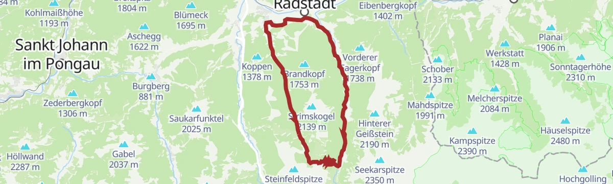
Strimskogel-Runde
A mid-altitude forest circuit above the alm basin of Zauchensee, crossing the Rauchkopf and the Strimskogel with the Rauchkopfhütte along the way.
- 13.0 km
- Distance
- 953 m
- Ascent
- 6 h 16 min
- Duration
- 53
- Check-ins
Pistenskitour monte popolo
A signed ski-touring line up the pistes of the monte popolo, nearly 800 m of climbing and open only while the lifts are running.
- 2.8 km
- Distance
- 750 m
- Ascent
- 0 m
- Descent
- 1 h 57 min
- Duration
- 6
- Check-ins
Flachau - Historische Stadt "Radstadt" - E-Trekkingbike (15)
A level e-trekking run down the valley from Flachau into the old walled town of Radstadt, by the Stadtteich.
- 12.2 km
- Distance
- 22 m
- Ascent
- 1 h 7 min
- Duration
- 1
- Check-ins
- Radstadt Tourismus 857 m
- Stadtteich Radstadt 855 m
Radstadt-Rossbrand-Runde (SW 13)
A long day on forest roads from Radstadt over the Rossbrand, with the Radstädterhütte and Karhütte near the top and the Resialm on the descent.
- 54.1 km
- Distance
- 1 089 m
- Ascent
- 5 h 50 min
- Duration
- 52
- Check-ins
- Rossbrand 1 770 m
- Radstädterhütte 1 760 m
- Karhütte 1 718 m
- Steinalm 1 318 m
- Radstadt Tourismus 857 m
- Stadtteich Radstadt 855 m
- +1
Weg rund um den Zauchensee
A half-hour lap of the Zauchensee on well-made shore paths, with benches and lookout points facing the surrounding peaks.
- 1.2 km
- Distance
- 0 m
- Ascent
- 17 min
- Duration
- 2
- Check-ins
- Zauchensee 1 340 m
Lackenkogel
Forest road and path lead up to the Lackenalm, from where a steeper trail finishes the 800 m climb to the home summit of Altenmarkt.
- 8.2 km
- Distance
- 767 m
- Ascent
- 4 h 46 min
- Duration
- 33
- Check-ins
Wanderbus-Tipp: Zauchensee - Roßkopf - Lackenkogel - Altenmarkt
A one-way 19 km ridge day from Zauchensee over the Roßkopf and the Lackenkogel down to Altenmarkt, easiest to organise with the hiking bus to the start.
- 18.7 km
- Distance
- 860 m
- Ascent
- 7 h 25 min
- Duration
- 53
- Check-ins
Skitouren Aufstiegsspur Königslehen
Signed uphill track beside the Königslehen pistes, starting by the Liftstüberl Unterberg and gaining 693 m; a piste-touring ticket or a valid local ski pass is required.
- 4.3 km
- Distance
- 695 m
- Ascent
- 11 m
- Descent
- 2 h 1 min
- Duration
- 4
- Check-ins
Orts-Rundweg
A nearly flat loop on forest roads and lanes around Altenmarkt im Pongau, passing the Hacklbauer and the Glonerbauer campsite.
- 10.7 km
- Distance
- 86 m
- Ascent
- 1 h 2 min
- Duration
- 1
- Check-ins
(E-)Bike Tour zum Aussichtsberg "Rossbrand" (16)
A climb from Altenmarkt up the Rossbrand, the lookout mountain above Radstadt, with the Radstädterhütte shortly below the top.
- 32.3 km
- Distance
- 970 m
- Ascent
- 3 h 47 min
- Duration
- 49
- Check-ins
- Rossbrand 1 770 m
- Radstädterhütte 1 760 m
- Karhütte 1 718 m
- Stadtteich Radstadt 855 m
- Altenmarkt-Zauchensee Tourismus 842 m
Weg zur Jausenstation Habersatt
An easy 90-minute walk from the Altenmarkt tourist office through woods and alm meadows to the Jausenstation Habersatt at 1,200 m.
- 3.3 km
- Distance
- 271 m
- Ascent
- 1 h 14 min
- Duration
- 2
- Check-ins
Lackenkogel mit Ausgangspunkt Sattelbauer
A direct 770 m climb from the Sattelbauer to the Lackenkogel, the home mountain of Altenmarkt, whose view reaches the Watzmann and the Großglockner.
- 4.1 km
- Distance
- 767 m
- Ascent
- 2 h 52 min
- Duration
- 33
- Check-ins
Höhenwanderung Lackenkogel
A long high route through the Zauchtal, 18 km with 1,500 m of ascent over the Hinterkogel to the Lackenkogel, passing the Roßkopfhütte and Kuchlberghütte.
- 18.4 km
- Distance
- 1 442 m
- Ascent
- 8 h 23 min
- Duration
- 51
- Check-ins
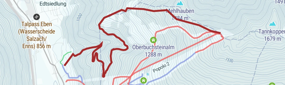
Waldskitour monte popolo
A wooded ski-touring line to the top station of the monte popolo, which can be taken by way of the Moosalm or the Reitlehenalm; a ticket is required.
- 4.6 km
- Distance
- 771 m
- Ascent
- 33 m
- Descent
- 2 h 13 min
- Duration
(E-)Bike Tour zum Lucky Flitzer Flachau
A near-level ride from Altenmarkt up the valley to Flachau, finishing at the Lucky Flitzer coaster at the far end.
- 12.0 km
- Distance
- 40 m
- Ascent
- 1 h 6 min
- Duration
Zauchensee-Untertauern-Runde (SW25)
A long forest-road tour to the Gnadenalm and Vordergnadenalm, returning past the Arena Alm and the Garnhofalm at over 1,350 m.
- 37.0 km
- Distance
- 983 m
- Ascent
- 4 h 13 min
- Duration
- 46
- Check-ins
- Gnadenalm 1 250 m
- Felserhütte 1 350 m
- Vordergnadenalm 1 281 m
- Arena Alm 1 367 m
- Fischerhütte 988 m
- Zauchensee 1 340 m
- +15
Eckwald-Runde
A short loop over the south-facing Eckwald at middle-mountain height, with two huts on the way round.
- 3.3 km
- Distance
- 133 m
- Ascent
- 1 h 7 min
- Duration
Sonnalm-Runde
Past the Zauchensee and up a forest road of seven hairpins to the Strimsalmen, then through woods to the Sonnalm, which is staffed in summer and in winter.
- 7.4 km
- Distance
- 388 m
- Ascent
- 2 h 48 min
- Duration
- 25
- Check-ins
- Felserhütte 1 350 m
- Sonnalm 1 741 m
- Vordere Strimshütte 1 526 m
- Arena Alm 1 367 m
- Zauchensee 1 340 m
- Garnhofalm 1 351 m
- +5
Rossbrand über Reitlehenalm
An 18 km approach to the Rossbrand by way of the Reitlehenalm, with the Radstädterhütte near the top and the Dachbrunnsattel on the ridge.
- 18.0 km
- Distance
- 922 m
- Ascent
- 6 h 41 min
- Duration
- 49
- Check-ins
Feuersang-Rundweg
A short forest-road round on the slopes above Altenmarkt im Pongau, climbing 270 m to the Winterbauer farm at 1,076 m.
- 9.4 km
- Distance
- 278 m
- Ascent
- 1 h 6 min
- Duration
(E-)Bike Tour zu den Hofalmen mit Almsee Filzmoos (21)
A long ride from Altenmarkt across to Filzmoos and up to the Hofalmen, with the Almsee at 1,302 m as the turning point.
- 44.1 km
- Distance
- 648 m
- Ascent
- 4 h 31 min
- Duration
- 39
- Check-ins
Spazierweg nach Eben
A flat riverside stroll from the Altenmarkt tourist office along the Enns to the neighbouring village of Eben.
- 4.6 km
- Distance
- 10 m
- Ascent
- 1 h 5 min
- Duration
Wanderbus-Tipp: Gnadenalm - Tauernkarleiten - Zauchensee
Point-to-point walk from the Gnadenalm past the Tauernkarleitenalm and over the Stubhöhe down to Zauchensee, with the guest bus for the outward leg.
- 7.3 km
- Distance
- 461 m
- Ascent
- 2 h 60 min
- Duration
- 24
- Check-ins
Rossbrand-Runde
A 17 km round on the Rossbrand, one of the best-known viewpoint summits of the Eastern Alps, with the Radstädterhütte a little below the top.
- 16.7 km
- Distance
- 1 023 m
- Ascent
- 7 h 2 min
- Duration
- 47
- Check-ins
Wagrain-Kleinarl nach Obertauern
A long point-to-point ride up to the Radstädter Tauern pass and the ski resort at 1,740 m, with the Fischerhütte lower down.
- 75.8 km
- Distance
- 1 389 m
- Ascent
- 8 h 2 min
- Duration
- 27
- Check-ins
Spazierweg nach Radstadt
A level walk along the Enns from Altenmarkt to Radstadt, finishing beside the town pond.
- 4.2 km
- Distance
- 20 m
- Ascent
- 1 h 1 min
- Duration
- Stadtteich Radstadt 855 m
- Altenmarkt-Zauchensee Tourismus 842 m
Bike & Hike Tour: Lackenkogel
The walking half of a bike-and-hike day: 4 km and 400 m from the Lackenalm to the Lackenkogel, after roughly 16 km of riding to reach the start.
- 4.2 km
- Distance
- 389 m
- Ascent
- 2 h 25 min
- Duration
- 20
- Check-ins
Arnoweg/Etappe 49 Zauchensee-Altenmarkt
Stage 49 of the Arnoweg, a 22 km high-level day from Zauchensee over the Rosskopf and Hinterkogel down to Altenmarkt, past several alm huts.
- 22.4 km
- Distance
- 778 m
- Ascent
- 7 h 39 min
- Duration
- 46
- Check-ins
Zauchensee (13)
A 60 km tour from Kleinarl over to the lake at 1,340 m, with the Garnhofalm and the Felserhütte on the high ground around it.
- 61.3 km
- Distance
- 1 204 m
- Ascent
- 6 h 34 min
- Duration
- 26
- Check-ins
Weg zum Berggasthof Bliembauer
An easy hour from the Altenmarkt tourist office through the market square and out past flowering meadows to the Berggasthof Bliembauer.
- 4.2 km
- Distance
- 225 m
- Ascent
- 1 h 20 min
- Duration
Weg zu den Lackenalmen
A steady 850 m climb from Altenmarkt through forest and alm meadows to the Lackenalm at about 1,640 m, roughly three hours on the way up.
- 7.8 km
- Distance
- 838 m
- Ascent
- 3 h 31 min
- Duration
- 18
- Check-ins
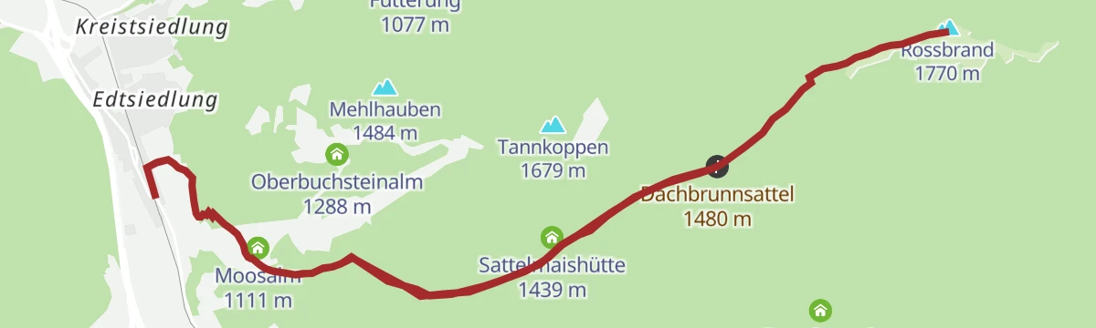
Rossbrand
A 16 km route from Eben im Pongau up to the 1,770 m panoramic summit above Radstadt, passing the Moosalm and the Radstädterhütte.
- 16.2 km
- Distance
- 965 m
- Ascent
- 6 h 42 min
- Duration
- 45
- Check-ins
No routes of this kind in Altenmarkt im Pongau yet.
The region's own picks

Featured route
Seekarsee-Tour
An easy hour's round to the Seekarsee below the Gamskögerl, gentle enough for a pushchair, with the Gamskogelhütte close by.
Planning a trip to Altenmarkt im Pongau?
Everything else Salzburg (state) has, in one place


Take Altenmarkt im Pongau with you into the mountains
Every route on this page with 3D terrain, GPX navigation and offline maps — including the valleys with no signal.
Data sources
- Official website: altenmarkt-zauchensee.at ↗
- Routes and highlights: Altenmarkt-Zauchensee Tourismus, Salzburger Sportwelt, Flachau Tourismus, Wagrain-Kleinarl Tourismus, Schladming-Dachstein Tourismus
- Published as open data by the tourist boards named above.
- Region summary generated from the board's own material.
