
 Historic site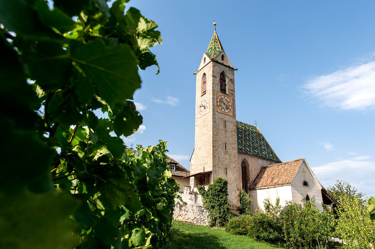














Curated by Südtirols Süden
Aldino/Aldein
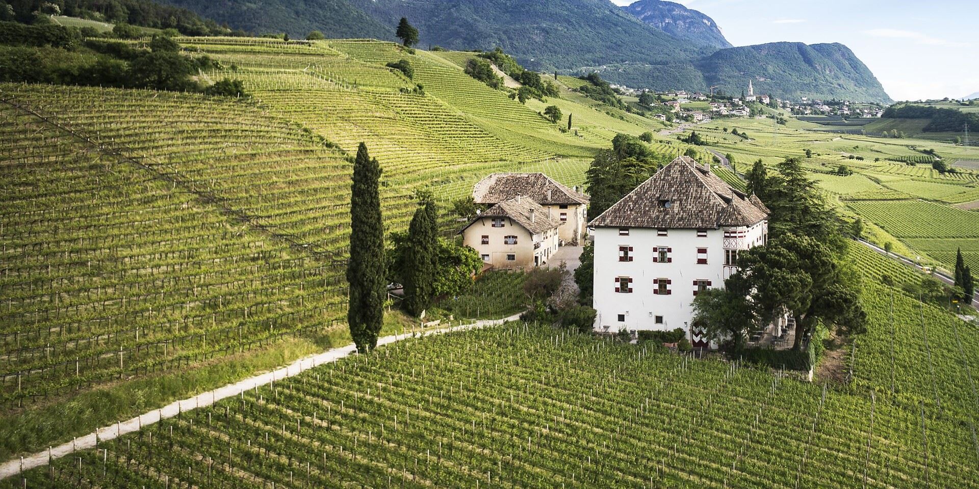
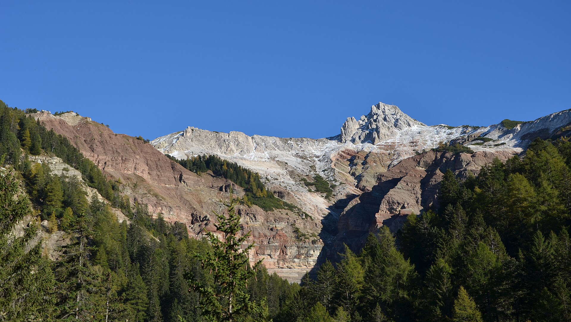
Village on the plateau above the Adige, beside the Bletterbach gorge whose exposed strata are part of the Dolomites World Heritage site.
Photo: Carsten Wiehe · CC BY 3.0 licence
- 4Highlights
- 72Routes
- Featured summit · Corno Nero
Highlights
11 from neighbouring places
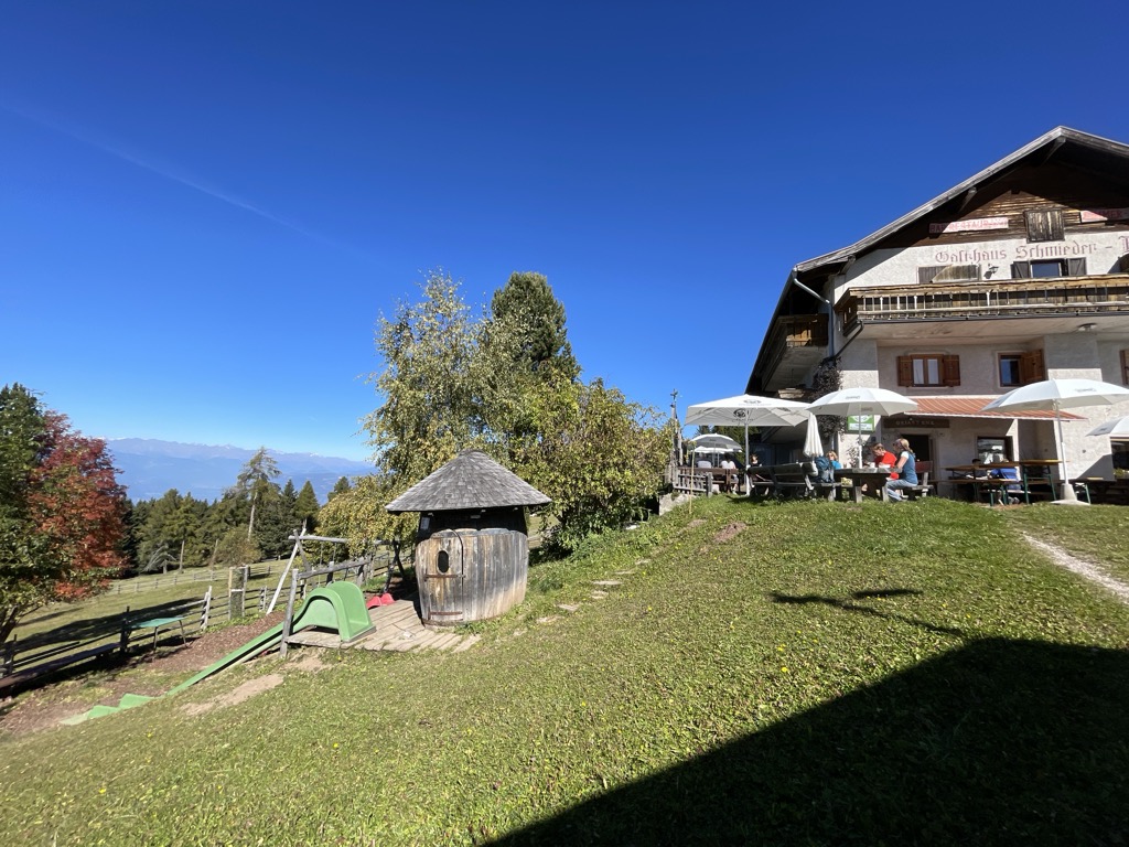
Albergo Schmiederalm
A pasture inn above Aldino, on the high Regglberg plateau between the Bletterbach gorge and the road to the Passo Oclini.
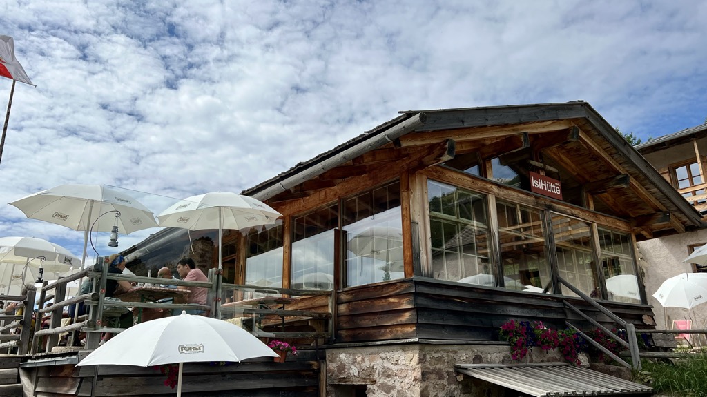
Malga ISI
A dairy hut turned mountain restaurant above Aldino, on the Regglberg pastures below the Corno Bianco.
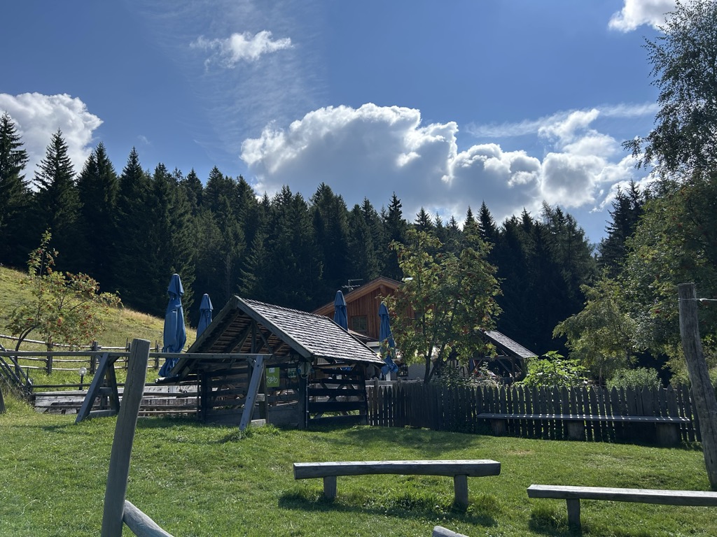
Malga Lahner
A dairy hut on the Lahner pastures above Aldino, reached by the forest road that climbs from the village toward the Corno Bianco.
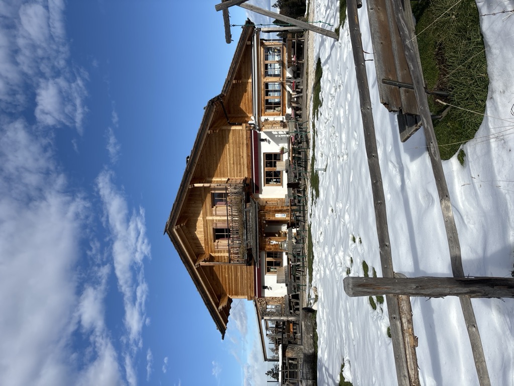
Malga Ristoro Isi
A pasture restaurant above Aldino, in the meadows of the Regglberg plateau below the Corno Bianco, near the Passo Oclini road.
Sterzing, Pfitsch und FreienfeldMalga Laab
4.3 km away, in Nova Ponente/Deutschnofen
A working dairy on the Laab pastures above Nova Ponente, in the woods and meadows of the Val d'Ega.
Malga Costa
6 km away, in Nova Ponente/Deutschnofen
A dairy hut on the Costa pastures above Nova Ponente, in the Val d'Ega below the Latemar.
Sterzing, Pfitsch und FreienfeldRifugio Oberholz
11.1 km away, in Nova Ponente/Deutschnofen
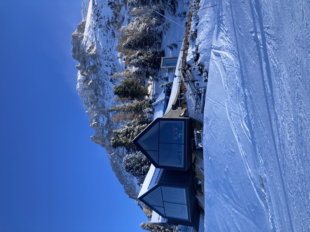
A timber-and-glass mountain hut above Obereggen, at the top of the chairlift below the Latemar, in the comune of Nova Ponente.
Malga Ganischger – The Mountain Party
11.3 km away, in Nova Ponente/Deutschnofen
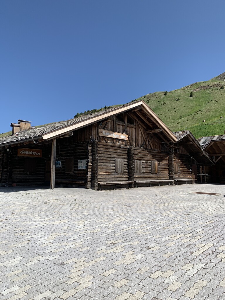
A dairy hut on the pastures above Nova Ponente, near Obereggen at the foot of the Latemar.
Malga Zischgalm
11.5 km away, in Nova Ponente/Deutschnofen
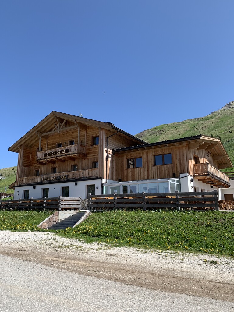
A pasture hut above Nova Ponente, reached on foot from the Obereggen side of the Val d'Ega.
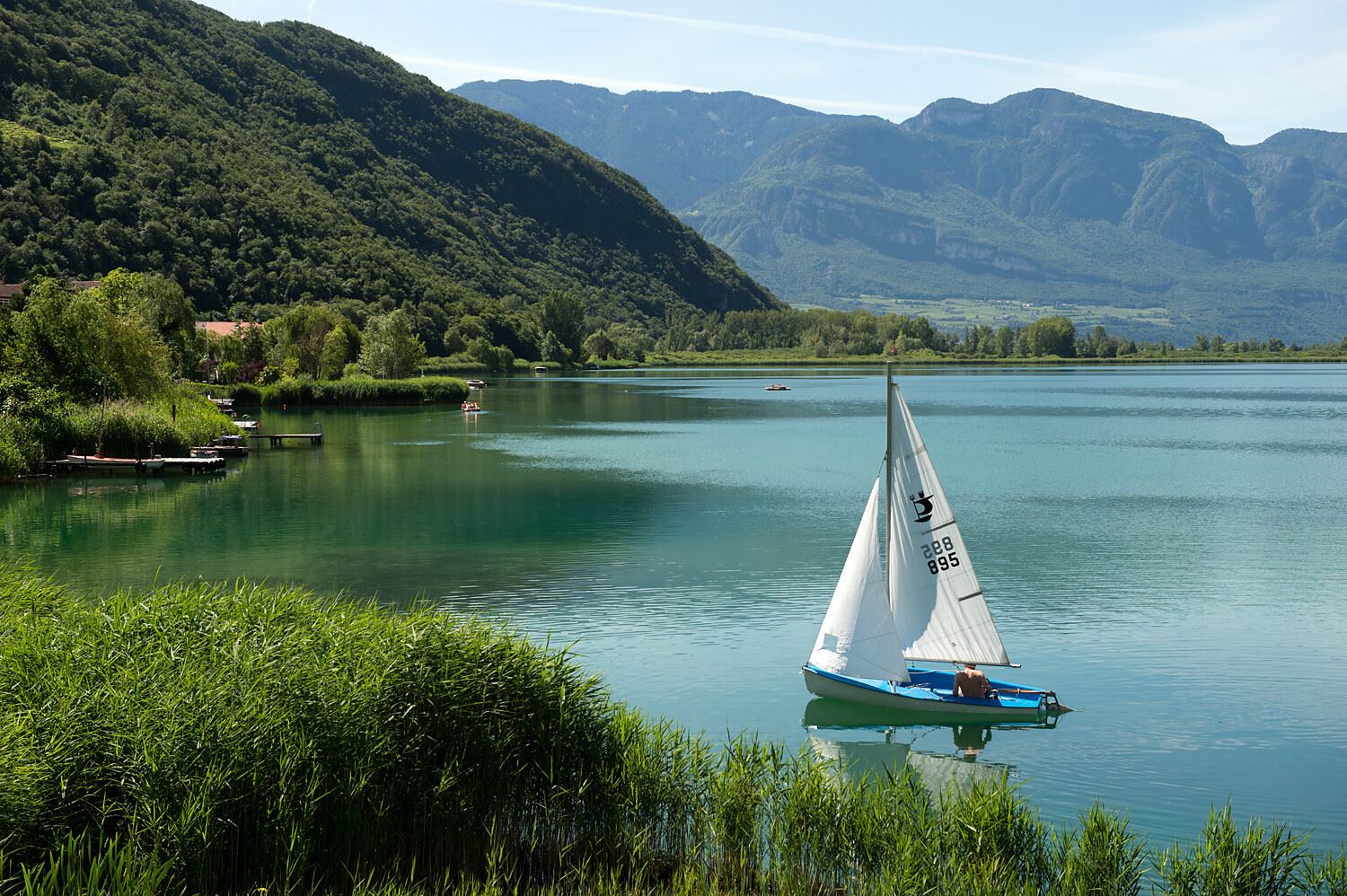
Lago di Caldaro
10.7 km away, in Caldaro sulla strada del vino/Kaltern an der Weinstraße
The warmest bathing lake in the Alps, in the vineyards below the Mendola ridge south of Bolzano.
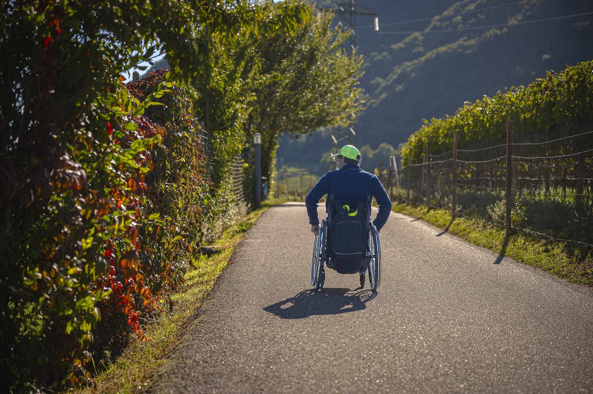
Percorso accessibile a tutti al lago
11.2 km away, in Caldaro sulla strada del vino/Kaltern an der Weinstraße
A level, step-free path around part of the Caldaro lake, the warmest bathing lake in the Alps.
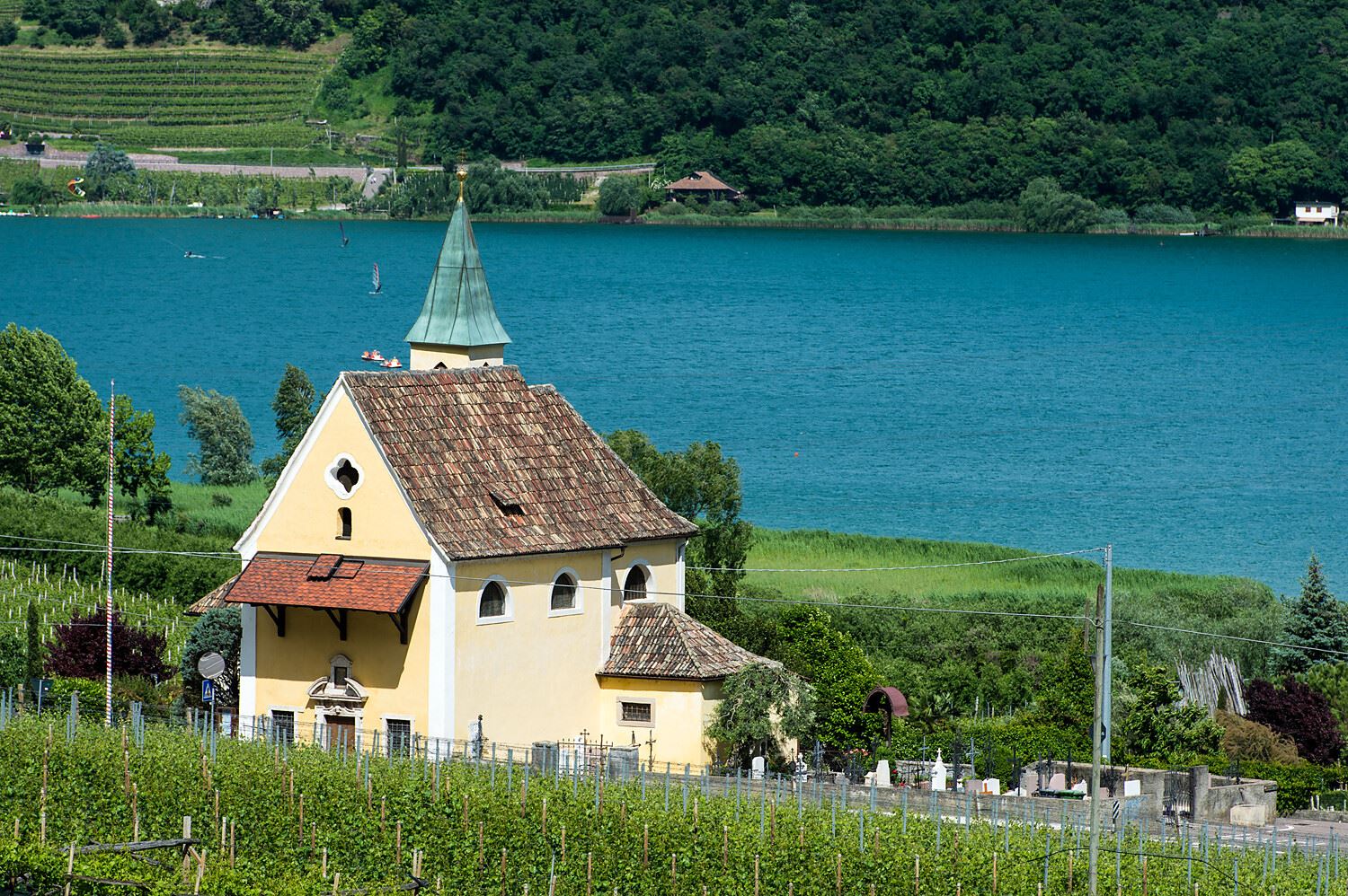
Chiesa S. Giuseppe al lago
11.5 km away, in Caldaro sulla strada del vino/Kaltern an der Weinstraße
The church of San Giuseppe on the shore of Lake Caldaro.
Thalhof al Lago
11.5 km away, in Caldaro sulla strada del vino/Kaltern an der Weinstraße
A lakeside bathing house on Lake Caldaro, among the vineyards of the Wine Road.
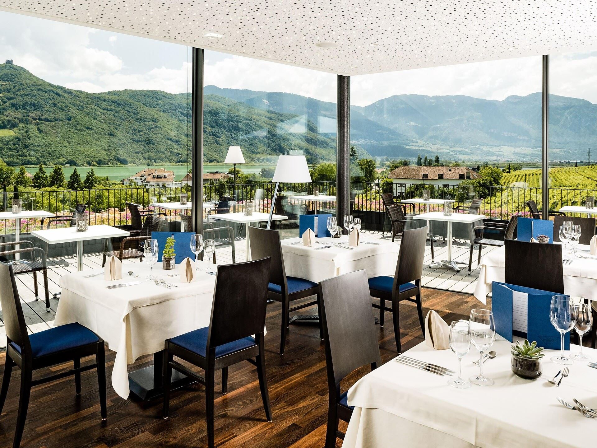
Castel Ringberg
11.9 km away, in Caldaro sulla strada del vino/Kaltern an der Weinstraße
A Renaissance manor of the prince-bishops above Lake Caldaro, still a working wine estate.
Chiesa S. Vigilio a Castelvecchio
12.4 km away, in Caldaro sulla strada del vino/Kaltern an der Weinstraße
The church of San Vigilio at Castelvecchio, above the Rastenbach gorge near Caldaro.
Nothing of this kind in Aldino/Aldein.
Routes
50 routes, an even mix of activities · see the rest on merano-suedtirol.it ↗
Oclini - Corno Bianco
The climb from the Oclini pass to the Corno Bianco, short enough for families and all pasture underfoot.
- 3.1 km
- Distance
- 318 m
- Ascent
- 1 h 57 min
- Duration
- 148
- Check-ins
Open route Aldein RadeinTappa f2 | Oclini - Corno Nero - Redagno
From the Passo Oclini straight up the Corno Nero at 2,439 metres, back down to the pass and up the Corno Bianco, then down the Zirmersteig to Redagno di Sopra.
- 11.4 km
- Distance
- 775 m
- Ascent
- 6 h 1 min
- Duration
- 196
- Check-ins
 Weißhorn - Corno Bianco 2 317 m
- Corno Nero 2 439 m
 Jochgrimm - Passo Oclini 1 989 m
 Berghotel Jochgrimm 1 993 m
- Hotel Schwarzhorn 2 011 m
 Bacino Innevamento artificiale Oclini 2 069 m
- +1
Open route Sterzing, Pfitsch und FreienfeldThe chromatic contrast of Corno Nero and Corno Bianco
A loop from the Passo Oclini over both peaks that frame it: the Corno Nero of dark volcanic porphyry and the dolomitic Corno Bianco, facing the Lagorai and the Val di Fiemme.
- 12.6 km
- Distance
- 934 m
- Ascent
- 6 h 8 min
- Duration
- 249
- Check-ins
- Weißhorn - Corno Bianco 2 317 m
- Corno Nero 2 439 m
- Il Palone 2 347 m
- Cime Di Ronchese 2 147 m
- Jochgrimm - Passo Oclini 1 989 m
- Berghotel Jochgrimm 1 993 m
- +7
Open route APT Fiemme CembraBase line
A gentle forest-road link between Passo Oclini and Passo di Lavazè, mostly downhill in this direction and signposted for riding either way.
- 4.0 km
- Distance
- 10 m
- Ascent
- 25 min
- Duration
- 136
- Check-ins
- Jochgrimm - Passo Oclini 1 989 m
- Passo di Lavazè 1 807 m
- Berghotel Jochgrimm 1 993 m
- Auerleger Alm - Malga Ora 1 877 m
Open route Aldein RadeinFrom Aldein to Jochgrimm – A Mountain Bike Tour Through South Tyrol’s Natural Paradise
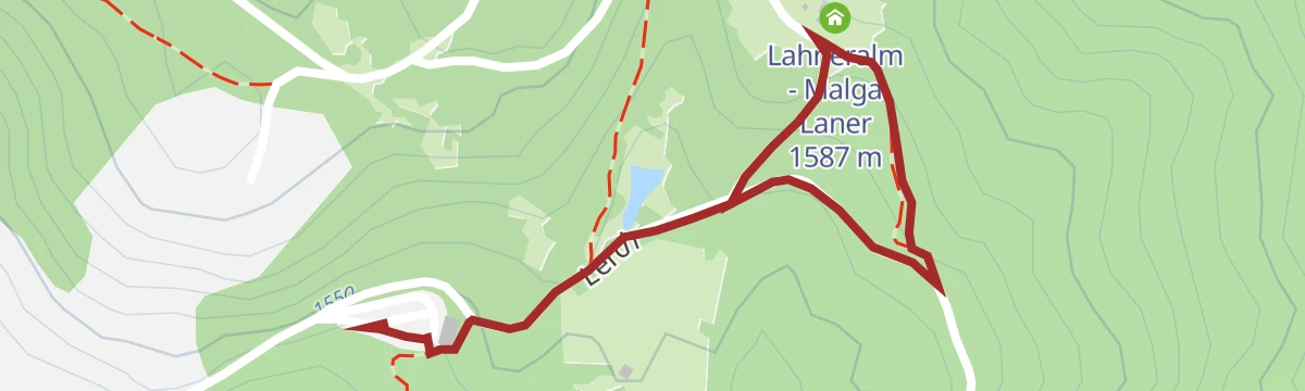
A gravel and asphalt climb from Lerch above Aldino past the Lahneralm to the Passo Oclini at 1,989 m, under the Weißhorn at the Dolomites' edge.
- 10.6 km
- Distance
- 541 m
- Ascent
- 1 h 16 min
- Duration
- 91
- Check-ins
- Jochgrimm - Passo Oclini 1 989 m
- Berghotel Jochgrimm 1 993 m
- Neuhütt 1 789 m
- Lahneralm - Malga Laner 1 587 m
Open route Südtirols SüdenGravel route - Lavazè Plateau and Butterloch
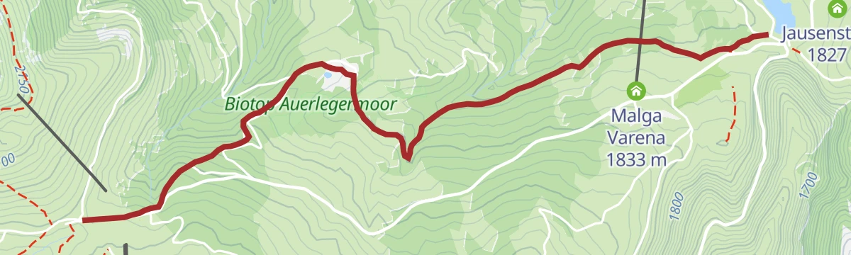
A dirt-road loop over Jochgrimm - Passo Oclini at nearly 2,000 m, past Malga Varena and Malga Ora on tracks through pasture and pine wood.
- 42.5 km
- Distance
- 1 028 m
- Ascent
- 4 h 44 min
- Duration
- 170
- Check-ins
- Guggenbichl 1 866 m
- Jochgrimm - Passo Oclini 1 989 m
- Passo di Lavazè 1 807 m
- Berghotel Jochgrimm 1 993 m
- Auerleger Alm - Malga Ora 1 877 m
- Malga Varena 1 833 m
- +5
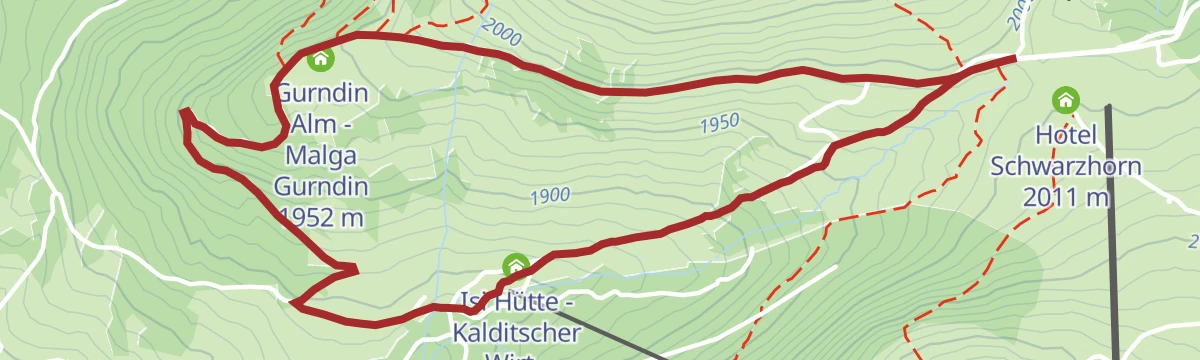
Open route APT Fiemme CembraEasy walk to Malga Gurndin and Isi Hütte
An easy pushchair-friendly walk over open pasture to Malga Gurndin and the Isi hut, with meadows for children to run in.
- 6.9 km
- Distance
- 165 m
- Ascent
- 2 h 1 min
- Duration
- 118
- Check-ins
- Jochgrimm - Passo Oclini 1 989 m
- Berghotel Jochgrimm 1 993 m
- Gurndin Alm - Malga Gurndin 1 952 m
- Isi Hütte - Kalditscher Wirt - Malga Isi 1 853 m
- Mauracher Schupf 1 847 m
Open route APT Fiemme CembraLerch - Weißhorn - Jochgrimm/Passo Oclini
A climb for practised walkers from Lerch above Aldein to the Weißhorn and on to the Jochgrimm.
- 9.1 km
- Distance
- 856 m
- Ascent
- 4 h 19 min
- Duration
- 152
- Check-ins
- Weißhorn - Corno Bianco 2 317 m
- Jochgrimm - Passo Oclini 1 989 m
- Berghotel Jochgrimm 1 993 m
- Lahneralm - Malga Laner 1 587 m
- Gasthaus Schlögler 1 459 m
Open route Südtirols SüdenDolomites World Heritage Geotrail – Stage 1: from the Bletterbach to the Lavazèjoch pass- From land to sea
The first Geotrail stage, out of the Bletterbach gorge up to the Weißhorn summit, climbing through rock layers that record 40 million years of land turning into sea.
- 12.0 km
- Distance
- 968 m
- Ascent
- 5 h 43 min
- Duration
- 203
- Check-ins
- Weißhorn - Corno Bianco 2 317 m
- Jochgrimm - Passo Oclini 1 989 m
- Passo di Lavazè 1 807 m
- Berghotel Jochgrimm 1 993 m
- Auerleger Alm - Malga Ora 1 877 m
Open route Südtirols SüdenGiro Malga Ora
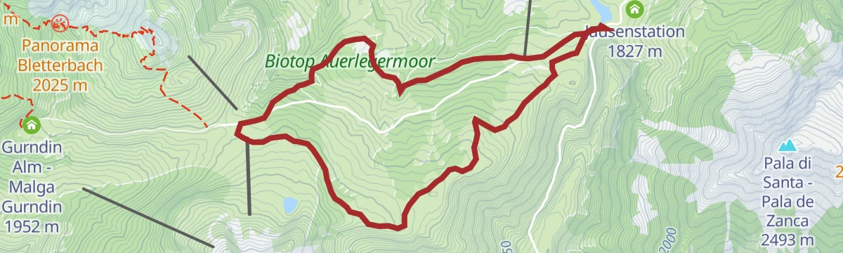
A loop that drops on a forest road to a flat, fast section, then climbs back past the Malga Capanna Nuova before a final descent to the start.
- 8.4 km
- Distance
- 191 m
- Ascent
- 56 min
- Duration
- 18
- Check-ins
Open route Aldein RadeinSantuario di Pietralba
A big road day from the Fiemme valley over the Passo di Lavazè and the Passo di Pramadiccio to the sanctuary above Aldino.
- 59.4 km
- Distance
- 1 701 m
- Ascent
- 6 h 53 min
- Duration
- 93
- Check-ins
- Passo di Lavazè 1 807 m
- Cappella della Beata Vergine del Rosario della nuova Pompei 985 m
- Hotel Erica 1 224 m
- Al Ponte - Brückenwirt 764 m
- Lago di Lavazè 1 805 m
- Passo di Pramadiccio 1 431 m
- +10
Open route APT Fiemme CembraOclini - giro delle malghe
A circuit of the dairy huts around the Passo Oclini, each of them a place to stop and eat.
- 4.9 km
- Distance
- 143 m
- Ascent
- 1 h 31 min
- Duration
- 118
- Check-ins
- Jochgrimm - Passo Oclini 1 989 m
- Berghotel Jochgrimm 1 993 m
- Gurndin Alm - Malga Gurndin 1 952 m
- Isi Hütte - Kalditscher Wirt - Malga Isi 1 853 m
- Mauracher Schupf 1 847 m
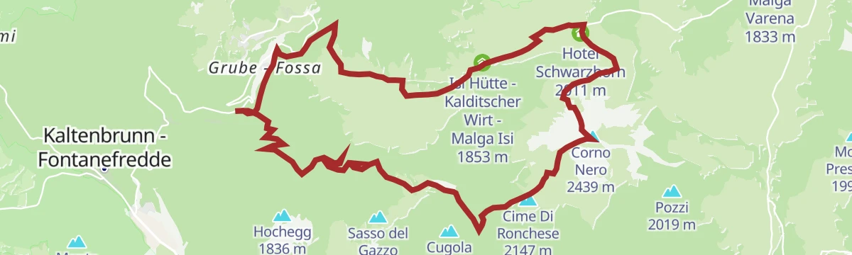
Open route Sterzing, Pfitsch und FreienfeldOclini - Corno Nero round hike
A loop from the Passo Oclini to the summit of the Corno Nero and down to the Passo Cugola, crossing grazed meadow, forest, high pasture and bare rock.
- 8.2 km
- Distance
- 603 m
- Ascent
- 3 h 58 min
- Duration
- 152
- Check-ins
- Corno Nero 2 439 m
- Il Palone 2 347 m
- Cime Di Ronchese 2 147 m
- Jochgrimm - Passo Oclini 1 989 m
- Berghotel Jochgrimm 1 993 m
- Hotel Schwarzhorn 2 011 m
- +4
Open route Aldein RadeinOclini - giro dei Corni
A demanding round from the Passo Oclini car park over the Corno Bianco and the Corno Nero, which can be taken in either order.
- 15.8 km
- Distance
- 1 249 m
- Ascent
- 8 h 5 min
- Duration
- 203
- Check-ins
- Weißhorn - Corno Bianco 2 317 m
- Corno Nero 2 439 m
- Il Palone 2 347 m
- Jochgrimm - Passo Oclini 1 989 m
- Berghotel Jochgrimm 1 993 m
- Hotel Schwarzhorn 2 011 m
- +2
Open route Sterzing, Pfitsch und FreienfeldOclini - mountain huts
An easy walk over flowering meadows and pasture at the Passo Oclini, facing the Latemar and Catinaccio close by and the Brenta Dolomites far off.
- 5.2 km
- Distance
- 151 m
- Ascent
- 1 h 36 min
- Duration
- 118
- Check-ins
- Jochgrimm - Passo Oclini 1 989 m
- Berghotel Jochgrimm 1 993 m
- Gurndin Alm - Malga Gurndin 1 952 m
- Isi Hütte - Kalditscher Wirt - Malga Isi 1 853 m
- Mauracher Schupf 1 847 m
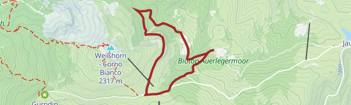
Open route Aldein RadeinOclini - Corno Bianco round hike
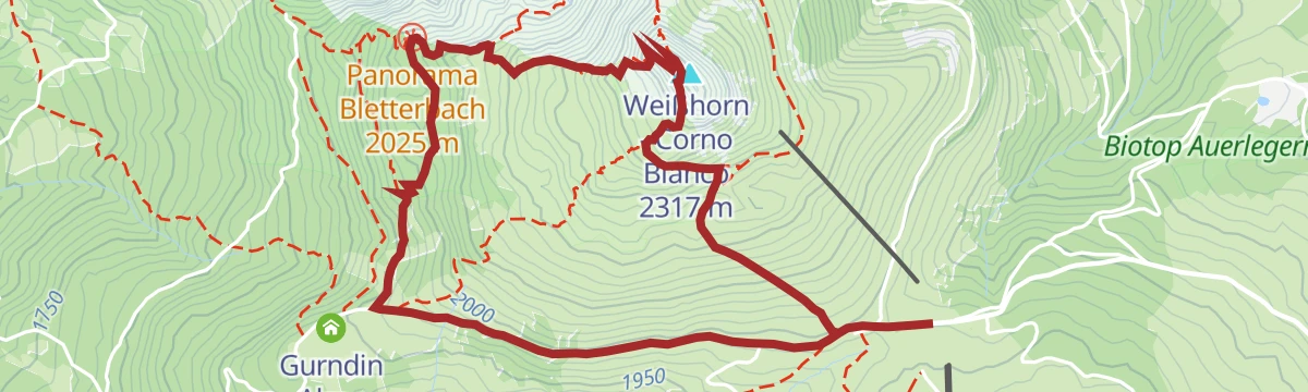
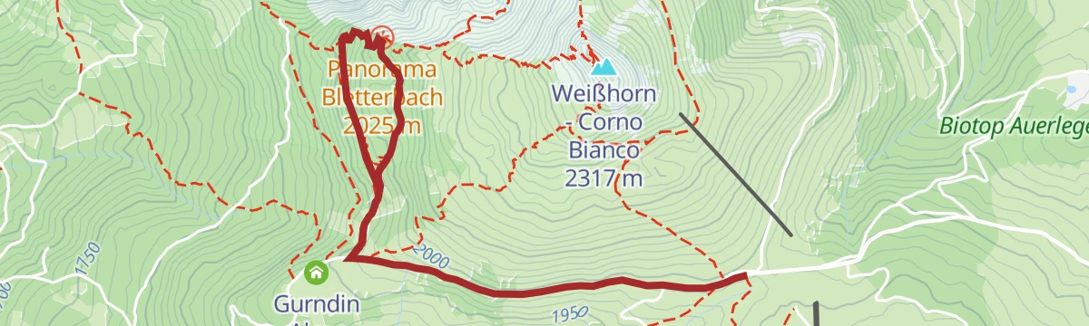
A loop taking in one of the best viewpoints over the Bletterbach gorge and then up to the top of the Corno Bianco, high above the Adige valley.
- 5.5 km
- Distance
- 344 m
- Ascent
- 2 h 21 min
- Duration
- 148
- Check-ins
Open route Aldein RadeinTappa f2 | Redagno - Oclini - Corno Nero
From Redagno di Sopra on the Zirmersteig through thinning alpine vegetation to the Corno Bianco, down to the Passo Oclini and up again to the Corno Nero.
- 11.4 km
- Distance
- 1 221 m
- Ascent
- 6 h 34 min
- Duration
- 196
- Check-ins
- Weißhorn - Corno Bianco 2 317 m
- Corno Nero 2 439 m
- Jochgrimm - Passo Oclini 1 989 m
- Berghotel Jochgrimm 1 993 m
- Hotel Schwarzhorn 2 011 m
- Bacino Innevamento artificiale Oclini 2 069 m
- +1
Open route Sterzing, Pfitsch und FreienfeldWalking on the Jochgrimm
An easy walk on the Jochgrimm, with the option of trail H out to the viewpoint over the Bletterbach geopark.
- 4.7 km
- Distance
- 156 m
- Ascent
- 1 h 29 min
- Duration
- 118
- Check-ins
- Jochgrimm - Passo Oclini 1 989 m
- Berghotel Jochgrimm 1 993 m
- Gurndin Alm - Malga Gurndin 1 952 m
- Isi Hütte - Kalditscher Wirt - Malga Isi 1 853 m
- Mauracher Schupf 1 847 m
Open route Südtirols SüdenJochgrimm - Schwarzhorn
A circuit to the Schwarzhorn, looking out to the Rosengarten and Latemar, the Pelmo and the Pale di San Martino, the Lagorai, the Ortler and the Brenta.
- 6.9 km
- Distance
- 534 m
- Ascent
- 3 h 29 min
- Duration
- 134
- Check-ins
- Corno Nero 2 439 m
- Il Palone 2 347 m
- Jochgrimm - Passo Oclini 1 989 m
- Berghotel Jochgrimm 1 993 m
- Hotel Schwarzhorn 2 011 m
- Self Service Restaurant Hotel Schwarzhorn 2 008 m
Open route Südtirols SüdenAlpine dairy tour at Passo Lavazè
A long round over the Lavaze plateau and the Oclini pass between the dark porphyry of Corno Nero and the white dolomite of Corno Bianco, by three working dairies.
- 20.6 km
- Distance
- 417 m
- Ascent
- 5 h 51 min
- Duration
- 180
- Check-ins
- Guggenbichl 1 866 m
- Jochgrimm - Passo Oclini 1 989 m
- Passo di Lavazè 1 807 m
- Berghotel Jochgrimm 1 993 m
- Auerleger Alm - Malga Ora 1 877 m
- Malga Varena 1 833 m
- +3
Open route APT Fiemme CembraOclini - Malga Ora
An easy path from the Passo Oclini to Malga Ora, which has a small playground, alpacas in a pen alongside and traditional cooking from canederli to strauben.
- 5.0 km
- Distance
- 141 m
- Ascent
- 1 h 31 min
- Duration
- 99
- Check-ins
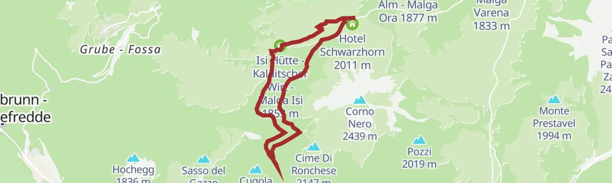
Open route Aldein RadeinOclini - Passo Cugola
A little-walked route through the forests around the Passo Oclini to the Passo Cugola and its self-catering hut.
- 8.4 km
- Distance
- 237 m
- Ascent
- 2 h 33 min
- Duration
- 104
- Check-ins
- Jochgrimm - Passo Oclini 1 989 m
- Berghotel Jochgrimm 1 993 m
- Passo Cùgola 1 923 m
- Isi Hütte - Kalditscher Wirt - Malga Isi 1 853 m
- Mauracher Schupf 1 847 m
- Malga Cùgola alta 1 894 m
Open route Aldein RadeinUnterradein/Redagno di Sotto - Schwarzhorn/Corno Nero
A long climb to the Schwarzhorn, higher of the two pyramid peaks that close the Dolomites to the south, with distant views from the Ortler to the Schlern.
- 17.7 km
- Distance
- 1 234 m
- Ascent
- 8 h 14 min
- Duration
- 165
- Check-ins
- Corno Nero 2 439 m
- Il Palone 2 347 m
- Cime Di Ronchese 2 147 m
- Jochgrimm - Passo Oclini 1 989 m
- Berghotel Jochgrimm 1 993 m
- Hotel Schwarzhorn 2 011 m
- +7
Open route Südtirols SüdenPanoramic tour Bletterbach canyon from Passo Oclini
An easy walk from the Passo Oclini to a viewpoint on the rim of the Bletterbach canyon, where the rock strata are laid out in section.
- 4.8 km
- Distance
- 106 m
- Ascent
- 1 h 24 min
- Duration
- 81
- Check-ins
Open route Südtirols SüdenRadein/Redagno - Zirmersteig
A climb to the Weißhorn by the Zirmersteig, over glacial scree of white shell limestone, above the Bletterbach geopark.
- 10.1 km
- Distance
- 770 m
- Ascent
- 4 h 57 min
- Duration
- 96
- Check-ins
Open route Südtirols SüdenTappa a | Aldino - Oclini
From the village of Aldino on the Regolo plateau at 1,200 metres, past dairy huts toward the Passo Oclini, through larch pasture with rare orchids and alpine pasqueflower.
- 17.3 km
- Distance
- 1 255 m
- Ascent
- 6 h 47 min
- Duration
- 156
- Check-ins
- Weißhorn - Corno Bianco 2 317 m
- Jochgrimm - Passo Oclini 1 989 m
- Berghotel Jochgrimm 1 993 m
- Schmieder Alm - Malga Schmieder 1 680 m
- Gasthaus Schlögler 1 459 m
Open route Sterzing, Pfitsch und FreienfeldKalkofenwanderung am Weißhorn
From the Auerleger pasture by trail 2 to the Jochgrimm and trail 1 toward the Neuhütt, reaching a 19th-century kiln built of Weißhorn stone where lime was burned for building.
- 3.7 km
- Distance
- 105 m
- Ascent
- 1 h 12 min
- Duration
- 24
- Check-ins
Open route Südtirols SüdenLavazè - Oclini (round hike)
A circuit between the Oclini pass and the Lavaze plateau, coming back by way of Malga Ora.
- 8.8 km
- Distance
- 219 m
- Ascent
- 2 h 37 min
- Duration
- 88
- Check-ins
- Passo di Lavazè 1 807 m
- Auerleger Alm - Malga Ora 1 877 m
- Malga Varena 1 833 m
- Hotel Schwarzhorn 2 011 m
- Self Service Restaurant Hotel Schwarzhorn 2 008 m
Open route Aldein RadeinTappa a| Oclini - Aldino
From the Passo Oclini at 1,989 metres up the Corno Bianco, then half around the peak and down through high pasture and larch woods to Aldino, past rare orchids.
- 17.3 km
- Distance
- 472 m
- Ascent
- 5 h 58 min
- Duration
- 156
- Check-ins
- Weißhorn - Corno Bianco 2 317 m
- Jochgrimm - Passo Oclini 1 989 m
- Berghotel Jochgrimm 1 993 m
- Schmieder Alm - Malga Schmieder 1 680 m
- Gasthaus Schlögler 1 459 m
Open route Sterzing, Pfitsch und FreienfeldSaurian trail GEOPARC Bletterbach
A very short trail on the Permian rocks of the Bletterbach gorge, laid out around fossil footprints some 260 million years old and open to all abilities.
- 1.1 km
- Distance
- 43 m
- Ascent
- 20 min
- Duration
- 4
- Check-ins
Open route Südtirols SüdenOclini - Capanna Nuova
A level walk of about an hour from the Passo Oclini through wide meadows and larch woods to the Neuhütt, with cowbells for company.
- 7.3 km
- Distance
- 224 m
- Ascent
- 2 h 15 min
- Duration
- 87
- Check-ins
Open route Aldein RadeinTrail a | Jochgrimm - Aldein
From the Jochgrimm at 1,989 metres straight up the Weißhorn, then half around it and down through pasture and larch meadows to Aldein, past rare orchids.
- 17.3 km
- Distance
- 495 m
- Ascent
- 5 h 60 min
- Duration
- 156
- Check-ins
- Weißhorn - Corno Bianco 2 317 m
- Jochgrimm - Passo Oclini 1 989 m
- Berghotel Jochgrimm 1 993 m
- Schmieder Alm - Malga Schmieder 1 680 m
- Gasthaus Schlögler 1 459 m
Open route Südtirols SüdenMill walk
An easy loop on the Regglberg past meadows, mixed woodland and the Möserwiesen wetland to the old Aldein mills, kept as an open-air museum along the stream.
- 3.5 km
- Distance
- 103 m
- Ascent
- 1 h 4 min
- Duration
- 1
- Check-ins
Open route Südtirols SüdenOclini - Geoparc Bletterbach
A circuit from Oclini around the Corno Bianco by the Lahner hut down to the Bletterbach gorge, returning past the Gurndin hut.
- 13.5 km
- Distance
- 536 m
- Ascent
- 4 h 30 min
- Duration
- 85
- Check-ins
Open route Aldein RadeinM-02 4 Almen Tour
A long round of four dairy huts on the pastures of the Regglberg above Aldein.
- 22.3 km
- Distance
- 528 m
- Ascent
- 6 h 30 min
- Duration
- 106
- Check-ins
Round trail Lago Göller
An easy family circuit near Aldein taking in the Göller lake, with water, open views and a little local history.
- 6.8 km
- Distance
- 200 m
- Ascent
- 2 h 5 min
- Duration
- 1
- Check-ins
- Göllersee - Lago del Colle 1 080 m
Open route Südtirols SüdenLavazé - Malga Ora - 8km
A round from Lavaze by the Guggenbichel, where the Catinaccio, Latemar, Corno Nero and Corno Bianco all show, with Malga Ora for a stop.
- 7.9 km
- Distance
- 137 m
- Ascent
- 2 h 11 min
- Duration
- 74
- Check-ins
Open route Aldein RadeinOclini - Pietralba
A long walk through forest from the Passo Oclini to the sanctuary of Pietralba, one of the oldest places of pilgrimage in South Tyrol.
- 17.1 km
- Distance
- 554 m
- Ascent
- 5 h 22 min
- Duration
- 97
- Check-ins
- Jochgrimm - Passo Oclini 1 989 m
- Berghotel Jochgrimm 1 993 m
- Petersberger Leger Alm - Malga Monte San Pietro 1 531 m
- Neuhütt 1 789 m
- Hotel Pietralba 1 531 m
Open route Aldein RadeinTramin und die Bletterbachschlucht
A short walk above the Tramin vineyards facing the Weißhorn of Aldein, a small-looking mountain whose history is written in the Bletterbach below it.
- 3.8 km
- Distance
- 134 m
- Ascent
- 1 h 11 min
- Duration
Tappa f | Oclini - Corno Nero - Trodena
About 500 metres of climbing from the Passo Oclini to the Corno Nero, then down its far side to the Passo Cugola above the Val di Fiemme and the Leitensteig to the Fontanefredde ice holes.
- 14.5 km
- Distance
- 807 m
- Ascent
- 7 h 17 min
- Duration
- 71
- Check-ins
- Corno Nero 2 439 m
- Il Palone 2 347 m
- Cime Di Ronchese 2 147 m
- Sasso del Gazzo 2 027 m
- Hochegg 1 836 m
- Hotel Schwarzhorn 2 011 m
- +4
Open route Sterzing, Pfitsch und FreienfeldOclini - Geoparc Bletterbach - 6,5h
A longer circuit from Oclini around the Corno Bianco and the Lahner hut down into the lower Bletterbach gorge, crossing the upper part and returning by the Gurndin hut.
- 15.2 km
- Distance
- 687 m
- Ascent
- 5 h 16 min
- Duration
- 85
- Check-ins
Open route Aldein RadeinAldein/Aldino-Holzmannegg-Branzoll/Bronzolo
A descent from Aldein by Holzmannegg to Branzoll on the valley floor; the return can be made by bus.
- 5.8 km
- Distance
- 11 m
- Ascent
- 2 h 31 min
- Duration
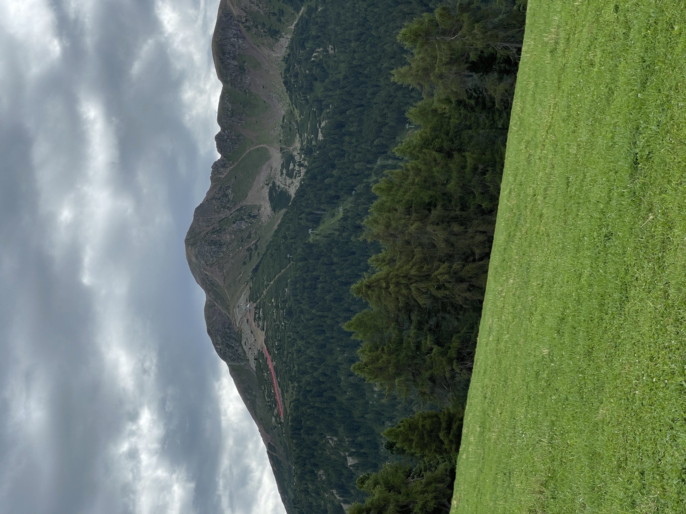
Open route Südtirols SüdenOclini - Corno nero
The higher of the two Oclini peaks, a slightly harder pull than the Corno Bianco, with a broad top and large cross above the Val di Fiemme, the Lagorai and the Pale di San Martino.
- 4.4 km
- Distance
- 446 m
- Ascent
- 2 h 43 min
- Duration
- 48
- Check-ins
- Corno Nero 2 439 m
- Hotel Schwarzhorn 2 011 m
- Bacino Innevamento artificiale Oclini 2 069 m
- Self Service Restaurant Hotel Schwarzhorn 2 008 m
Open route Aldein RadeinTappa f | Trodena - Corno Nero - Oclini
The demanding leg from Trodena over the Corno Nero to the Passo Oclini, by way of Fontanefredde, the ice holes and the Passo Cugola.
- 14.5 km
- Distance
- 1 633 m
- Ascent
- 8 h 16 min
- Duration
- 71
- Check-ins
- Corno Nero 2 439 m
- Il Palone 2 347 m
- Cime Di Ronchese 2 147 m
- Sasso del Gazzo 2 027 m
- Hochegg 1 836 m
- Hotel Schwarzhorn 2 011 m
- +4
Open route Sterzing, Pfitsch und FreienfeldGEOPARC Bletterbach - Dolomiti UNESCO World Heritage site
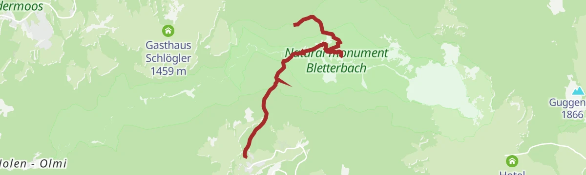
An easy route in the Bletterbach geopark, taking in the canyon, its rock strata, nature monuments and the learning centre in southern South Tyrol.
- 5.0 km
- Distance
- 244 m
- Ascent
- 1 h 47 min
- Duration
Open route Südtirols SüdenAnello Malga Costa
A loop north from Lavaze on easy forest roads through protected woodland by the Guggenbichl hill and the Rio Nero, passing Malga Ora.
- 10.3 km
- Distance
- 189 m
- Ascent
- 2 h 53 min
- Duration
- 44
- Check-ins
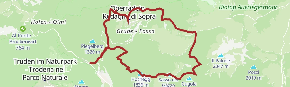
Open route Aldein RadeinOberradein
A quiet stage from Oberradein through the Trudner Horn nature park, over hay meadows and past the Weißsee to the mountain village of Gfrill.
- 20.1 km
- Distance
- 846 m
- Ascent
- 7 h 1 min
- Duration
- 26
- Check-ins
GEOTour Bletterbach Canyon
From the visitor centre at Aldein to the Taubenleck and the waterfall in the Butterloch, through rock of the geological middle ages.
- 4.1 km
- Distance
- 224 m
- Ascent
- 1 h 35 min
- Duration
Open route Südtirols SüdenFrom Aldino to Pietralba
A high pasture walk above Aldein on the Regglberg to the pilgrimage church of Maria Weißenstein, on gentle paths past hay huts and open larch and spruce woods.
- 8.2 km
- Distance
- 592 m
- Ascent
- 3 h 9 min
- Duration
- 23
- Check-ins
- Schmieder Alm - Malga Schmieder 1 680 m
- Schönrast Alm - Malga Bel Riposo 1 695 m
- Fin 1 239 m
- Hotel Leonhard 1 521 m
- Hotel Pietralba 1 531 m
- Gasthaus Schlögler 1 459 m
Open route Südtirols SüdenLeitenspitze (2027 m)
A long ascent from Fontanefredde by Redagno to the Leitenspitze, a 2,027-metre top on the southern edge of South Tyrol.
- 18.8 km
- Distance
- 1 084 m
- Ascent
- 7 h 36 min
- Duration
- 17
- Check-ins
- Sasso del Gazzo 2 027 m
- Hochegg 1 836 m
- Passo Cùgola 1 923 m
- Mauracher Schupf 1 847 m
- Zirmerhof 1 550 m
Open route Südtirols Süden
No routes of this kind in Aldino/Aldein yet.
The region's own picks

Featured route
Oclini - Corno Bianco
The climb from the Oclini pass to the Corno Bianco, short enough for families and all pasture underfoot.
Planning a trip to Aldino/Aldein?
Everything else Trentino-Alto Adige/Südtirol has, in one place


Take Aldino/Aldein with you into the mountains
Every route on this page with 3D terrain, GPX navigation and offline maps — including the valleys with no signal.
Data sources
- Official website: merano-suedtirol.it ↗
- Routes and highlights: Südtirols Süden, Sterzing, Pfitsch und Freienfeld, Aldein Radein, Kaltern an der Weinstraße, APT Fiemme Cembra, Tramin an der Weinstraße, E5 Alps Crossing
- Published as open data by the tourist boards named above.
- Region summary generated from the board's own material.
