
Curated by Piemonte Outdoor
Acceglio
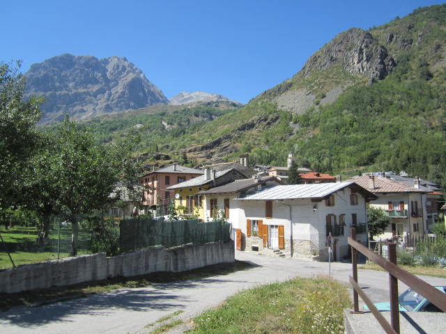
The head of the Val Maira below Monte Bellino and the Rocca Provenzale, against the French border ridge.
Photo: Luca Aless · GFDL licence
- 6Routes
Routes
6 from neighbouring places
Sentiero delle Fortificazioni: Tappa 3 Rifugio di Viviere
A long stage of the fortifications route in the upper Valle Maira, ending at the Viviere hut.
- 10.0 km
- Distance
- 2 640 m
- Ascent
- 14 h 19 min
- Duration
- 27
- Check-ins
Sentiero delle Fortificazioni: Tappa 2 Rifugio Campo Base
The second stage of the fortifications route in the upper Val Maira, a long day over the border ridges of Acceglio to the Campo Base hut.
- 16.4 km
- Distance
- 2 736 m
- Ascent
- 15 h 33 min
- Duration
- 21
- Check-ins
Sentiero delle Fortificazioni: Tappa 1 Nuovo Bivacco Carmagnola
The opening stage of the fortifications route above Acceglio, climbing to the new Carmagnola bivouac among the works of the Vallo Alpino.
- 10.2 km
- Distance
- 0 m
- Ascent
- 2 h 23 min
- Duration
- 17
- Check-ins
Percorsi Occitani: Tappa 8 Borgata Ussolo
A stage of the Occitan circuit ending at Ussolo, a stone hamlet above Prazzo in the Maira valley.
- 14.4 km
- Distance
- 2 040 m
- Ascent
- 11 h 51 min
- Duration
- 16
- Check-ins
Percorsi Occitani: Tappa 9 Borgata Chiappera
A stage of the Occitan circuit in the Val Maira, finishing at the hamlet of Chiappera under the rock tower of the Castello Provenzale.
- 15.2 km
- Distance
- 2 206 m
- Ascent
- 12 h 46 min
- Duration
- 13
- Check-ins
Percorsi Occitani: Tappa 10 Borgata Chialvetta
The tenth stage of the Occitan circuit, crossing from Chiappera to the stone hamlet of Chialvetta in the upper Val Maira.
- 8.4 km
- Distance
- 2 440 m
- Ascent
- 13 h 8 min
- Duration
- 12
- Check-ins
Percorsi Occitani: Tappa 11 Rifugio della Gardetta
9.4 km away, in Canosio
A long stage of the Occitan circuit in the Maira valley, ending at the Rifugio della Gardetta below the Rocca La Meja.
- 19.9 km
- Distance
- 2 529 m
- Ascent
- 14 h 56 min
- Duration
- 64
- Check-ins
Percorsi Occitani: Tappa 7 San Michele di Prazzo
9.8 km away, in Prazzo
A steep stage of the Percorsi Occitani in the Val Maira, ending at San Michele di Prazzo.
- 7.0 km
- Distance
- 1 800 m
- Ascent
- 9 h 47 min
- Duration
Val Varaita Trekking: Tappa 6A Borgata Pleyne
12.3 km away, in Bellino
A stage of the Varaita valley trek ending at the stone hamlet of Pleyne above Bellino.
- 9.9 km
- Distance
- 2 862 m
- Ascent
- 15 h 25 min
- Duration
- 12
- Check-ins
Percorsi Occitani: Tappa 12 Borgata Arata
12.8 km away, in Marmora
A stage of the Occitan circuit ending at Arata, one of the scattered hamlets of Marmora in the Maira valley.
- 8.9 km
- Distance
- 1 701 m
- Ascent
- 9 h 31 min
- Duration
- 3
- Check-ins
Percorsi Occitani: Tappa 6 Elva
13.1 km away, in Elva
A stage of the Occitan circuit ending at Elva, a scattered village high on the north side of the Maira valley.
- 11.4 km
- Distance
- 1 932 m
- Ascent
- 10 h 58 min
- Duration
- 17
- Check-ins
Percorsi Occitani: Tappa 5 San Martino Inferiore
13.2 km away, in Stroppo
A stage of the Occitan circuit ending at San Martino Inferiore, one of the hillside hamlets of Stroppo.
- 6.8 km
- Distance
- 1 875 m
- Ascent
- 10 h 8 min
- Duration
- 21
- Check-ins


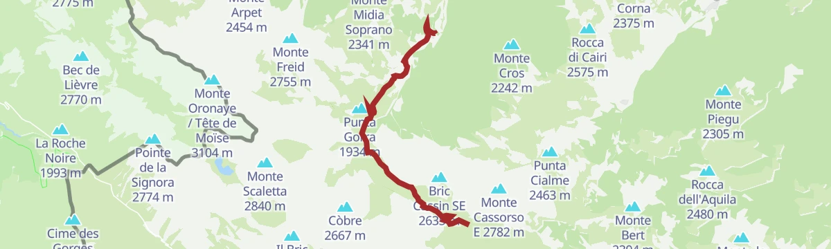
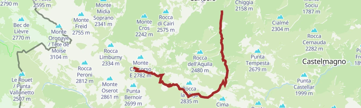


No routes of this kind in Acceglio yet.
Planning a trip to Acceglio?
Everything else Piedmont has, in one place


Take Acceglio with you into the mountains
Every route on this page with 3D terrain, GPX navigation and offline maps — including the valleys with no signal.
Data sources
- Official website: vallemaira.org ↗
- Routes and highlights: Piemonte Outdoor
- Published as open data by the tourist boards named above.
- Region summary generated from the board's own material.
