Scan the QR code and open PeakVisor on your phone
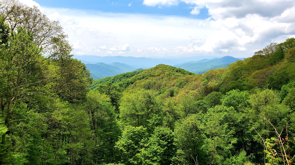
The Snowbird Mountains are located in the southwestern portion of the US state of North Carolina. The range features rolling hillsides and some of the most stunning forested landscape in the state. The tallest and most prominent peak in the range is Teyahalee Bald at 4,711 feet (1,436 m) tall with 1,345 feet (410 m) of prominence.
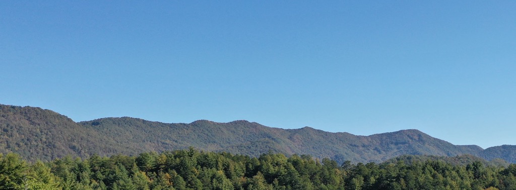
The Snowbird Mountains are located in the southwestern corner of the US state of North Carolina. This range cuts across the terrain with Great Smoky Mountains and the Unicoi Mountains located to the north.
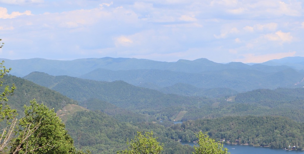
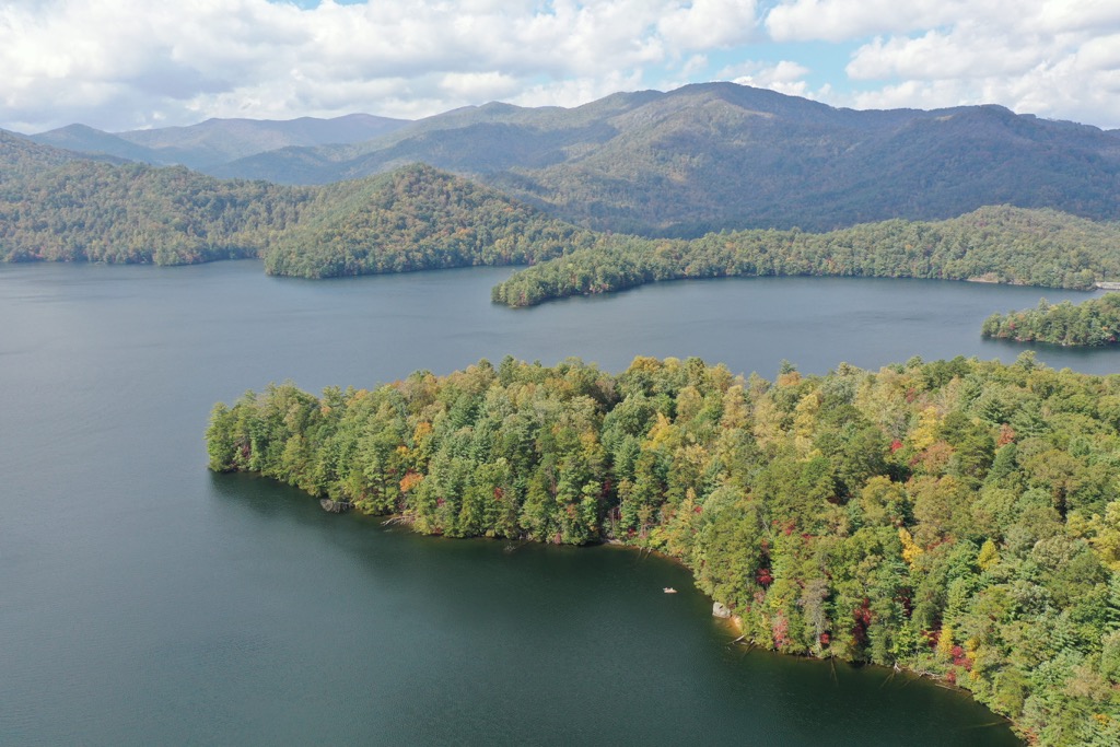
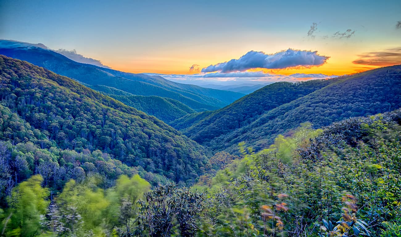
Terrain is similar to much of western North Carolina with continuous stretches of forested hillsides, ridgelines, and valleys. The range runs roughly east to west with numerous rivers and lakes throughout the surrounding region.
Peaks in the range lie within the Tusquitee Ranger District of Nantahala National Forest with a few peaks extending into the Cheoah Ranger District of the forest. West of the range lies the state’s border with Tennessee while the state of Georgia is situated to the south.
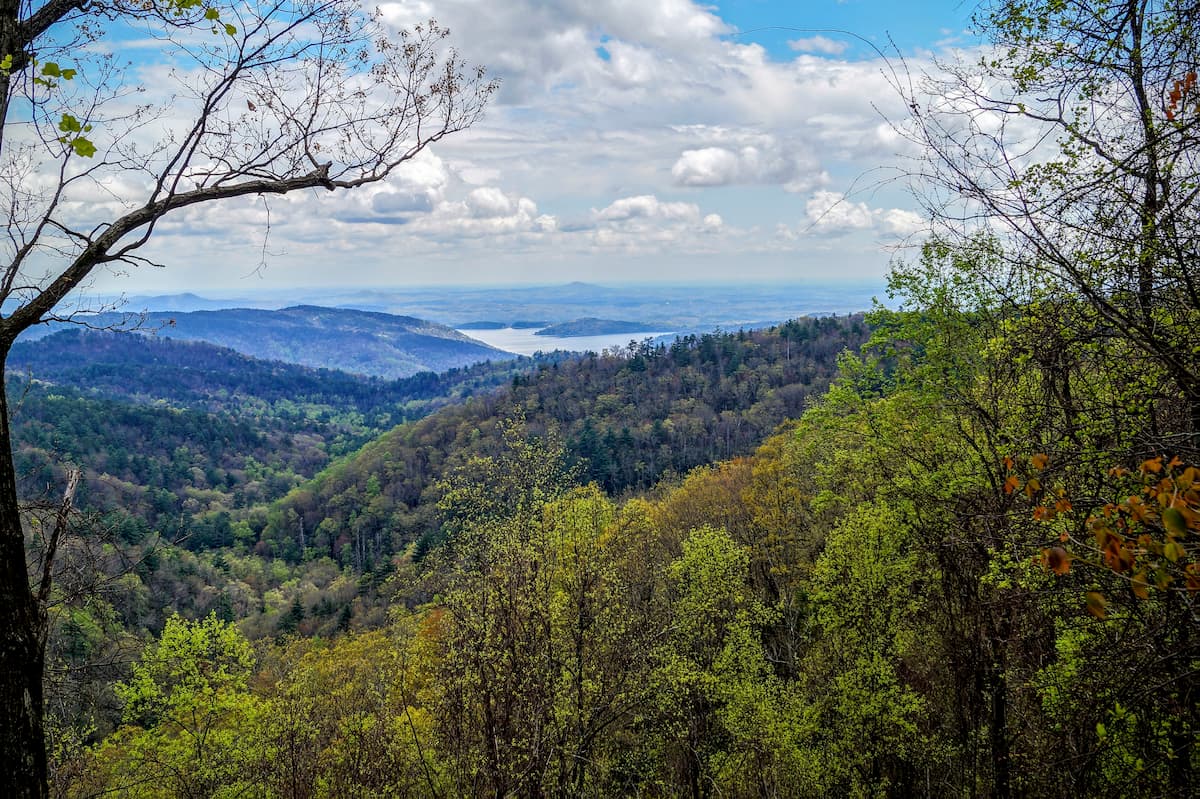
Lake Santeetlah lies to the north while the Valley River marks the eastern and southern boundaries of the range. The Tellico River begins in the western section of the range before flowing to the northwest. Throughout the range there are also various other small creeks and streams.
A majority of the peaks lie within Cherokee county which extends to the southwest. Within the range lies the Snowbird Backcountry Area. This protected area spans roughly 8,000 acres (3,237 ha) and is primarily used for fishing and backpacking.
Additionally, the Snowbird Mountains are surrounded by popular outdoor recreation areas. The range lies within the heart of Nantahala National Forest with the Cheoah Ranger District extending to the north and the Nantahala Ranger District to the east. Chattahoochee-Oconee National Forest lies to the south in the state of Georgia.
The Snowbird Mountains, along with the surrounding ranges in Nantahala National Forest, are part of the Blue Ridge Mountains. This expansive mountain region is part of the larger Appalachian Mountains, which run from Georgia to the border between Maryland and Pennsylvania.
Not only are the Blue Ridge Mountains a major mountain range, but they are also a physiographic province, meaning the region is defined by its unique landforms and features. The Snowbird Mountains are composed of both metamorphic and igneous rocks which date back from the Precambrian to Paleozoic eras.
The Blue Ridge Mountains, and its many subranges, began forming 1.1 billion to 250 million years ago. During this time were both the Grenville and Alleghenian orogenies, making these ranges much older than ranges such as the Andes, Alps, and Himalayas.
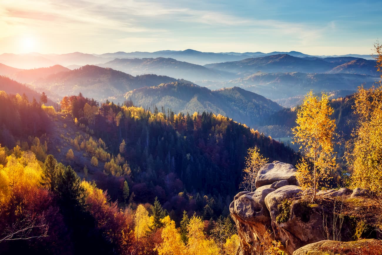
Over the course of millions of years, this range has been heavily eroded, leaving behind the rolling hills that define western North Carolina. Rocks in the region are also known for being rich in valuable minerals.
Major peaks within the Snowbird Mountains are Teyahalee Bald, Buzzard Roost, Bear Knob, and High Top.
Flora and fauna found in the Snowbird Mountains is similar to that found throughout the Tusquitee and Cheoah Ranger Districts of Nantahala National Forest. The range is part of the Blue Ridge ecoregion which encompasses a majority of the Blue Ridge Mountains.
Lower elevations in the range are populated by heath, chestnut, oak, pine, and hickory trees. As elevations increase, the forest consists of various northern hardwoods. The highest peaks in the range are populated by patches of spruce-fir forests.
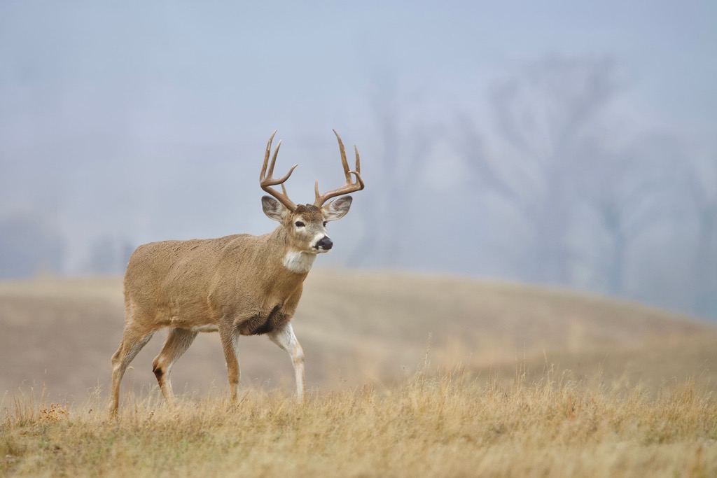
Common wildlife found in the range includes many larger mammals such as white-tailed deer, mountain lions, coyotes, bobcats, and black bears. Some small animals include squirrels, porcupines, beavers, and river otters.
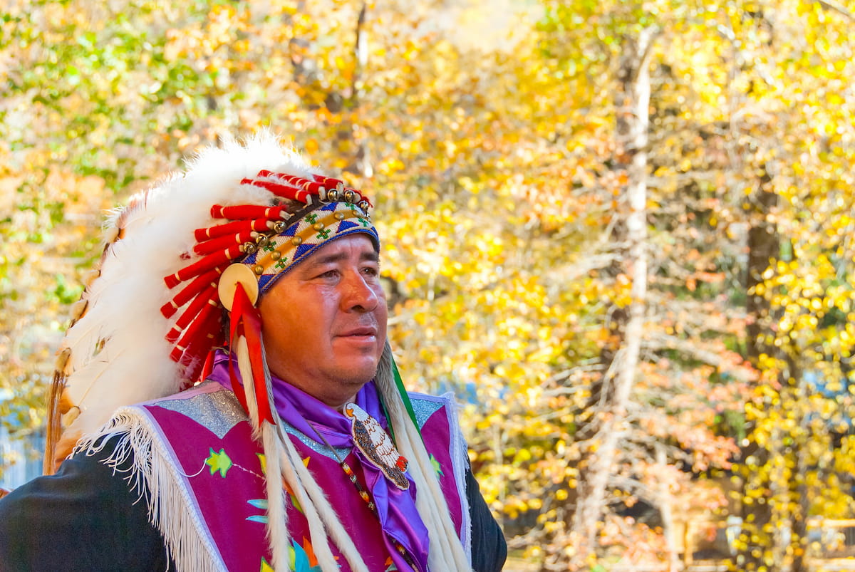
The land in and surrounding the Snowbird Mountains has been home to humans for thousands of years. This region of land marks the park of the ancestral homelands of the Cherokee people. Remnants of human settlement dating back 8,000 years have been found in the region, marking the Paleo-Indian culture.
The ancestral homelands and traditional territory of the Cherokee Nation, and the Eastern Band of Cherokee Indians, spans across the present-day states of North Carolina, Tennessee, and Georgia.
A Spanish expedition led by Hernando de Soto, traveled through the Blue Ridge Mountains, thought to have marked the first contact between these Indigenous peoples and Europeans. By the eighteenth century, European colonization began spreading throughout the region, bringing many new people to present-day North Carolina.
Following the French and Indian War, large groups of settlers began inhabiting land in the Blue Ridge Mountains with many establishing homesteads and farms. Conflict between the settlers and Indigenous peoples began to rise during the nineteenth century.
These ongoing disagreements culminated in the 1830 Indian Removal Act. This act forced the Indigenous peoples from their native homelands and made them march to the state of Oklahoma.
While the vast majority of the Indigenous peoples were forced to leave, a small group of Cherokee people remained in the region. Today the Eastern Band of Cherokee Indians of the Qualla Boundary are situated north of the Nantahala National Forest, marking descendants of the group that stayed.
The surrounding Nantahala National Forest began taking shape in 1911 when President Wilson signed the Weeks Act. This act allowed the US government to purchase land throughout the eastern US for restoration and protection purposes.
Land purchased in 1916 was officially designated as the Nantahala National Forest in 1920. Over the following decades the protected land was reshaped and expanded to its current size.
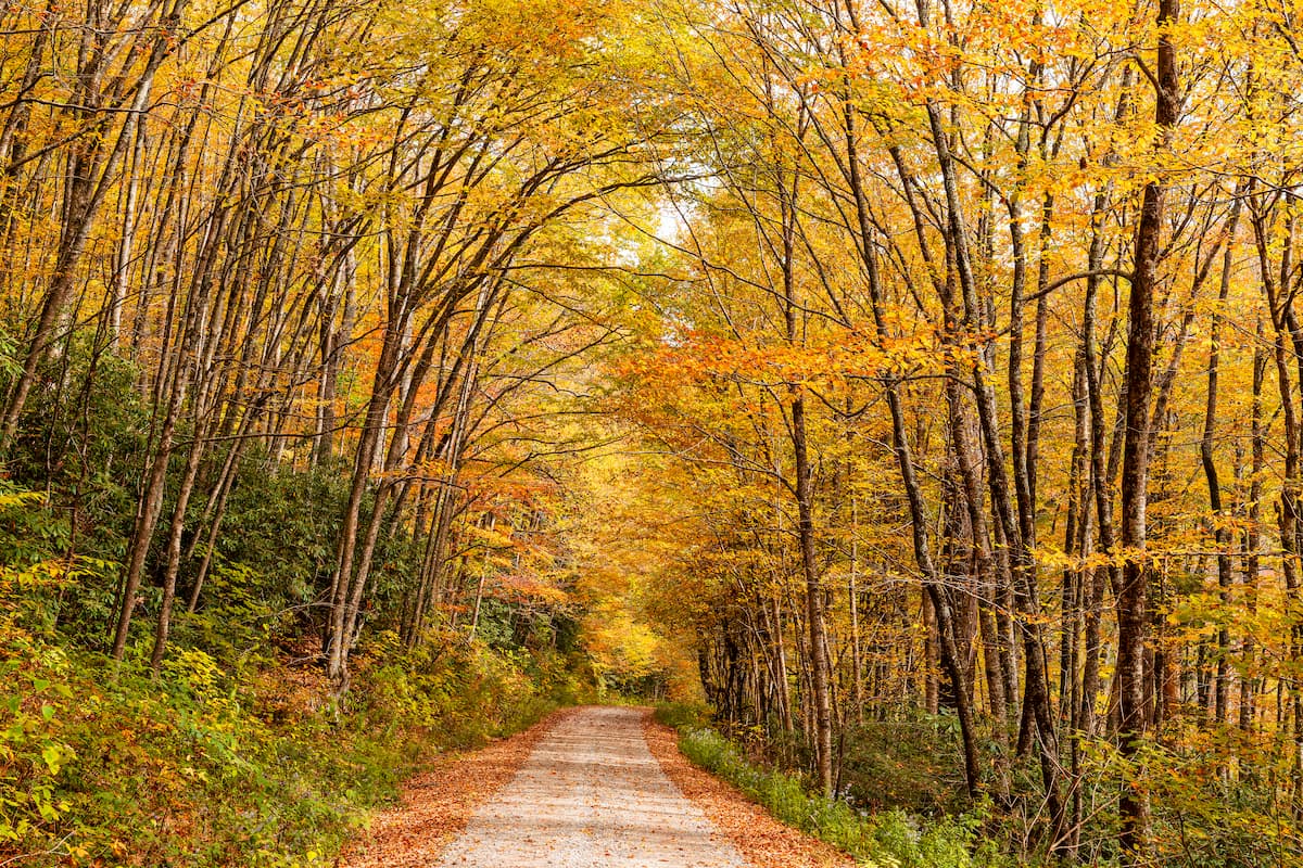
Despite the stunning landscape of the Snowbird Mountains, there are minimal amounts of marked hiking trails in the range. Below are a few hikes to check out on your next visit, though other portions of Nantahala National Forest are likely to have more established trails:
Teyahalee Bald marks the tallest and most prominent peak of the range, situated near the eastern edge of the Snowbird Mountains. The out and back trail climbs steadily through the forested landscape.
The trail begins to flatten out near the summit before opening up with views of the surrounding peaks and valleys. This out and back route is 5 miles (8 km) in length and features 902 feet (273 m) of total elevation gain.
This hiking route begins at Tatham Gap, just west of Teyahalee Bald. The trail follows along Nantahala Forest Road while climbing throughout the forested landscape. There are numerous small climbs and descents along this route as well as a few small creek crossings.
This out and back route does not feature any major viewpoints. The trail is 6.8 miles (11 km) round trip and features roughly 600 feet (183 m) of total elevation gain.
Looking for a place to stay near the Snowbird Mountains? Here are some of the best cities and villages to check out in the region:
The small town of Andrews lies directly south of the Snowbird Mountains. Home to around 1,700 residents, the quiet town is situated along the Valley River, surrounded by foothills of the Blue Ridge Mountains.
Besides being surrounded by mountains with trails for recreation, Andrews downtown streets are filled with local businesses. Visitors will find shops, restaurants, breweries, art galleries and more, showcasing the culture of the region.

The city of Asheville lies under a two hours drive northeast of Andrews. Home to roughly 91,000 residents, the city is situated at the confluence of the Swannanoa and French Board rivers. Asheville marks the most populated city in western North Carolina, making it the cultural and economic hub of the region.
Surrounded by the Blue Ridge Mountains, the city is known for being an outdoor recreation destination. Just outside the city limits lie trails for hiking, running, and mountain biking. The Blue Ridge Parkway runs through the city, offering breathtaking views throughout.
Besides outdoor activities, Asheville is also known for its numerous craft breweries. The city boasts the most breweries per capita compared to any other city in the country. Other spots to check out include the River Arts District and the Biltmore Estate.