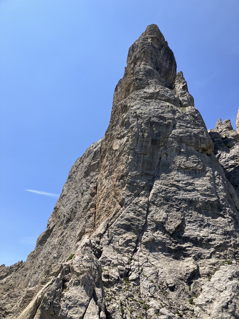
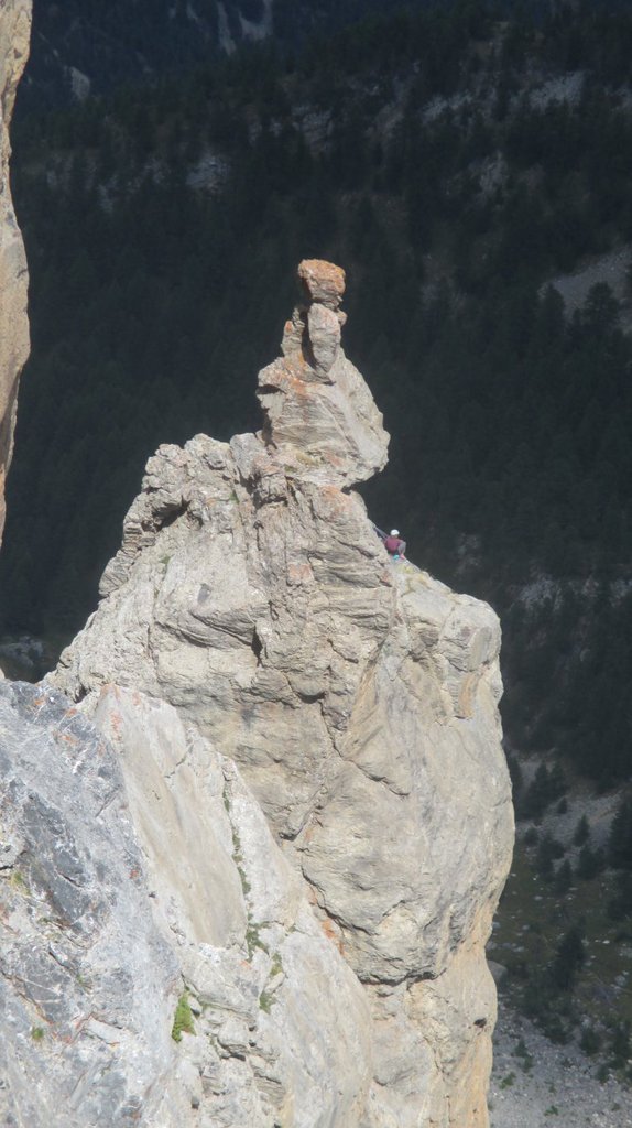
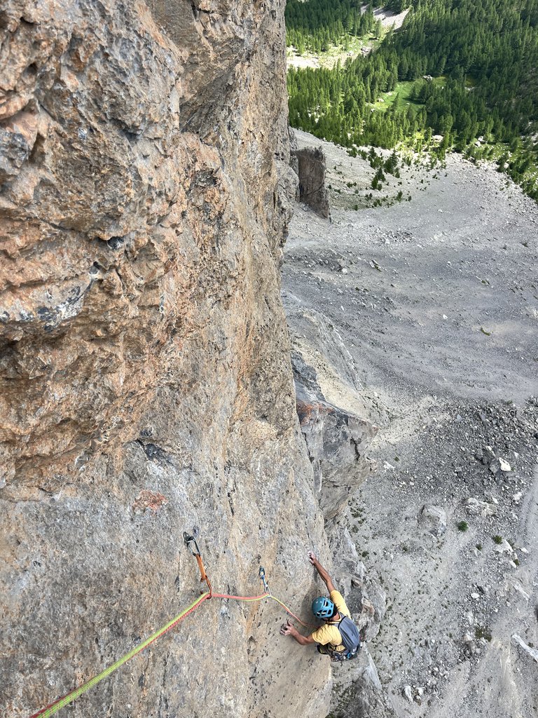
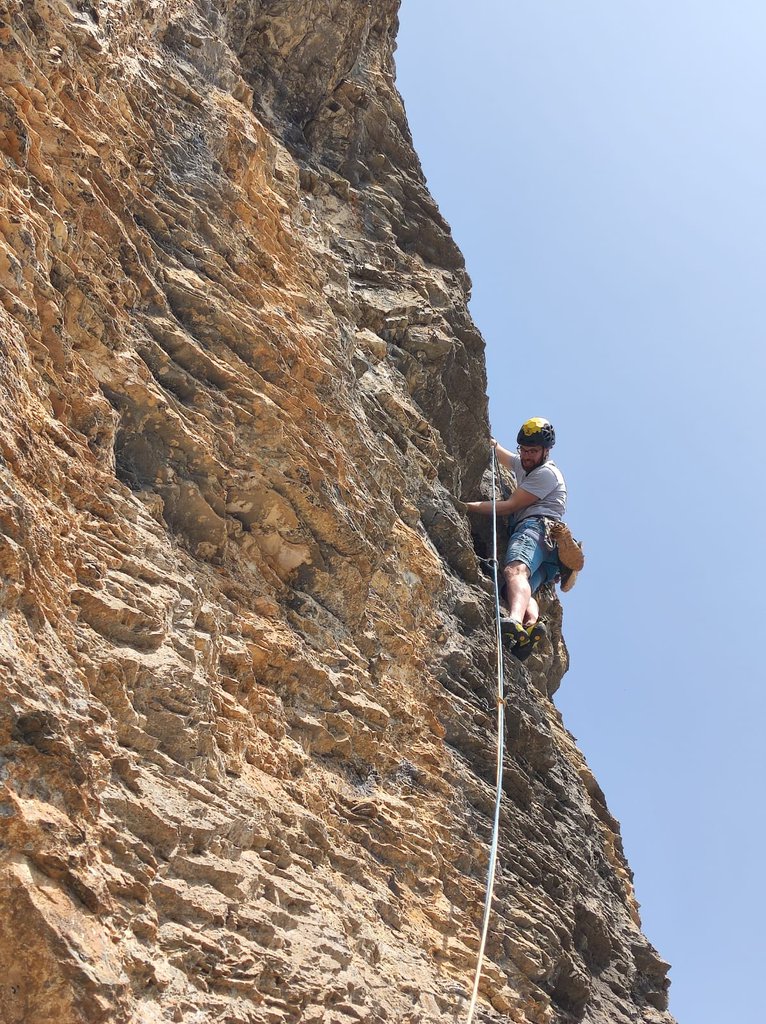
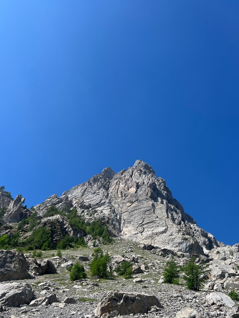
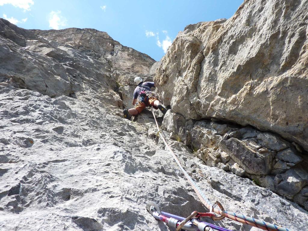
Rock climbing at Tenailles de Montbrison in Provence-Alpes-Côte d'Azur, France — 7 routes, grades French 6a–7a. Grades, topo links and photos on the PeakVisor hiking map.
Show more
Climbing
7 routes6a–7a FrSE
Tenailles de Montbrison
7 routes · E–S
Via Renaud6a+ (obl. 6a) · 300 m · SE Itinerario storico sullo sperone a sx della parete delle Tenailles. Molto estetico ma ormai lucido nei passi obbligati. Spits alle soste e sui passi chiave. Possibile, ma non indispensabile, aggiugere friends nella… gulliver.it ↗
La Fiesta del Sud6a+ (obl. 6a) · 250 m · S la roccia man man che si sale diventa sempre più bella. utili friend e/o nut per il fessurone del sesto tiro. Parte tra la Carnutes e l’Automne à Pekin. - 6a+, - 5c, - 6a, - 6a+, - 3b, - 5c, - 6a+, - 6a, - 6a Discesa in… gulliver.it ↗
Une Infinie Patience6c (obl. 6b) · 400 m · SE ED- 6c (6b obb.) S1/S2 Bellissima salita su roccia ottima e varia, placche verticali si alternano a diedri fessurati con chiodatura ottima sui passi più impegnativi. Eventualmente portare frend piccoli.Richiodata a fix… gulliver.it ↗
Vol et Voluptè6b (obl. 6a) · 350 m · SE Valutazione data dalla guida di cambon: TD+ Via interessante e varia, aperta nel 1983. Sulla via si trovano ancora chiodi e vecchi spit... Avvicinamento: per comodo sentiero con parte finale su ghiaione si arriva alla… gulliver.it ↗
En Avant la Zizique6b (obl. 5c) · 350 m · E Simpatica via su ottima roccia. La via segue approssimativamente lo sperone E della punta nord delle Tenailles, ben protetta. Da Briancon proseguire in direzione Gap. Giunti al paese di Prelles prendere la deviazione a… gulliver.it ↗
Ioan6a (obl. 5b) · a0 · 220 m · S Via non troppa lunga, ma nel complesso molto interessante e mai banale. La spittatura è distanziata e negli ultimi tiri richiede l'integrazione con qualche friend. Per risolvere in artificiale la prima sezione… gulliver.it ↗
Peril en la Demeure7a (obl. 6b) · 300 m · E La via attacca pochi metri a sinistra di “une infinite patience”, scritta alla base. itinerario sostenuto con 6 lunghezze sul 6b/c, 6c.. ed una di 7a/A0. gulliver.it ↗
We use GPS information embedded into the photo when it is available.
3D mountains overlay
Adjust mountain panorama to perfectly match your photos because recorded by camera photo position might be imprecise.
Move tool
Rotate tool
Zoom
More customization
Choose which peak labels should make into the final photo and what photo title should be.
Next
Photo Location
Coordinates work here too — paste them as 69.72728, 20.61890 and press Enter
Satellitte
Flat map
Relief map
Latitude
Longitude
Altitude
OR
Latitude
°'''
Longitude
°'''
Apply
Register Peak
Peak Name
Latitude
Longitude
Altitude
Register
Teleport
PeakVisor
This 3D model of Sagarmatha National Park in Nepal was made using the PeakVisor app topographic data. The mobile app features higher precision models worldwide, more topographic details, and works offline. Download PeakVisor maps today.
Download OBJ model
PeakVisor
The download should start shortly. If you find it useful please consider supporting the PeakVisor app.
PeakVisor for iOS and Android
Be a superhero of outdoor navigation with state-of-the-art 3D maps and mountain identification in the palm of your hand!