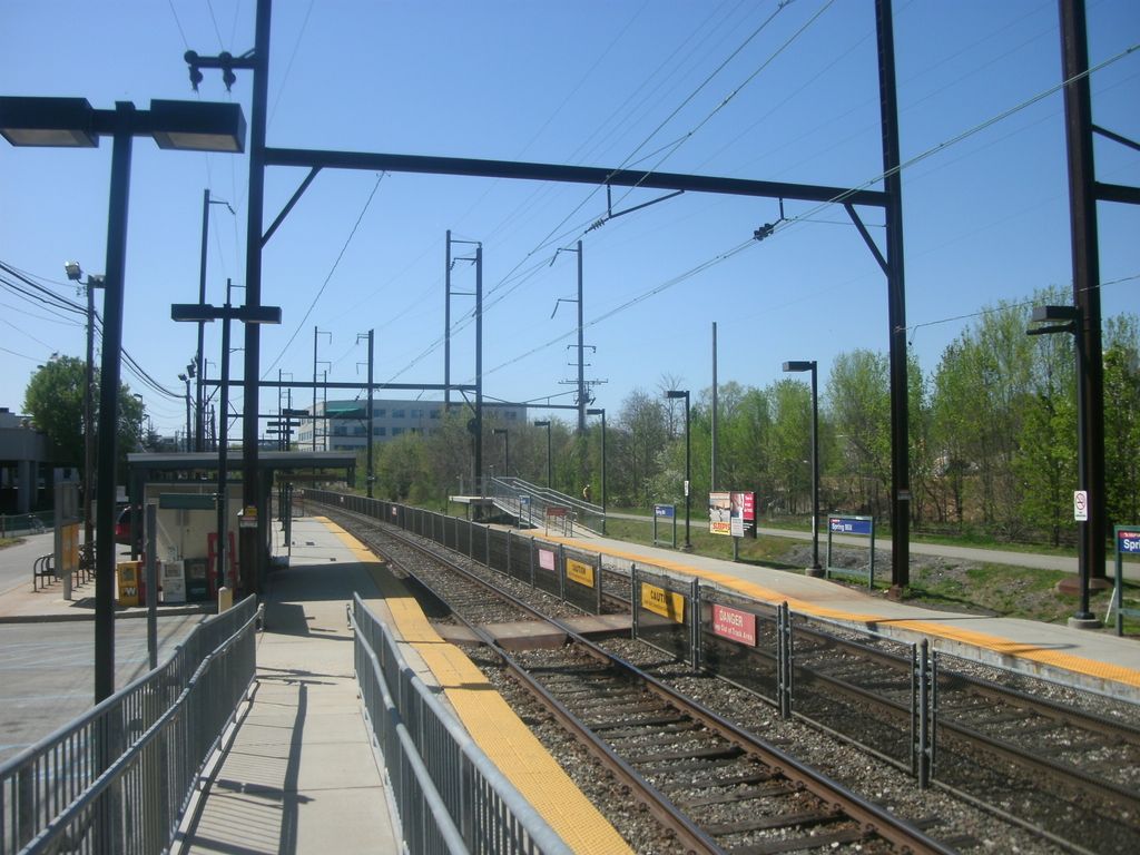
Spring Mill station is a suburban commuter railroad station on the SEPTA Manayunk/Norristown Line in Montgomery County, Pennsylvania. Its official address is Station Avenue near Hector Street, Conshohocken (ZIP code 19428), but it is actually in the Spring Mill section of Whitemarsh Township. The station is located south of Hector Street, where North Lane deadends at the Schuylkill River. The original station was established by the Reading Railroad about 1880, and took its name from the nearby 18th-century grist mill. In FY 2013, Spring Mill station had a weekday average of 378 boardings and 358 alightings. It has a 154-space parking lot, and is handicapped-accessible. The Schuylkill River Trail passes next to the station. Due to the proximity of the Schuylkill River and a pair of tributary streams, the station is periodically subjected to flooding, resulting in the temporary suspension of all service on the Manayunk/Norristown Line. A project to replace the line's signal system is underway in 2013 that is intended to confine future flooding closures on the line to the section above Miquon station, by allowing partial service further down the line instead of no service on the line at all.
We use GPS information embedded into the photo when it is available.
3D mountains overlay
Adjust mountain panorama to perfectly match your photos because recorded by camera photo position might be imprecise.
Move tool
Rotate tool
Zoom
More customization
Choose which peak labels should make into the final photo and what photo title should be.
Next
Photo Location
Coordinates work here too — paste them as 69.72728, 20.61890 and press Enter
Satellitte
Flat map
Relief map
Latitude
Longitude
Altitude
OR
Latitude
°'''
Longitude
°'''
Apply
Register Peak
Peak Name
Latitude
Longitude
Altitude
Register
Teleport
PeakVisor
This 3D model of Sagarmatha National Park in Nepal was made using the PeakVisor app topographic data. The mobile app features higher precision models worldwide, more topographic details, and works offline. Download PeakVisor maps today.
Download OBJ model
PeakVisor
The download should start shortly. If you find it useful please consider supporting the PeakVisor app.
PeakVisor for iOS and Android
Be a superhero of outdoor navigation with state-of-the-art 3D maps and mountain identification in the palm of your hand!