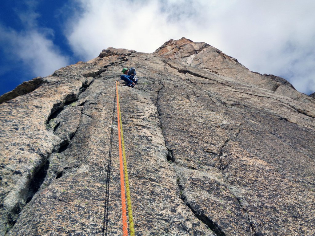
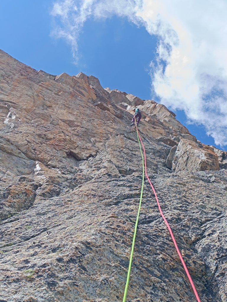
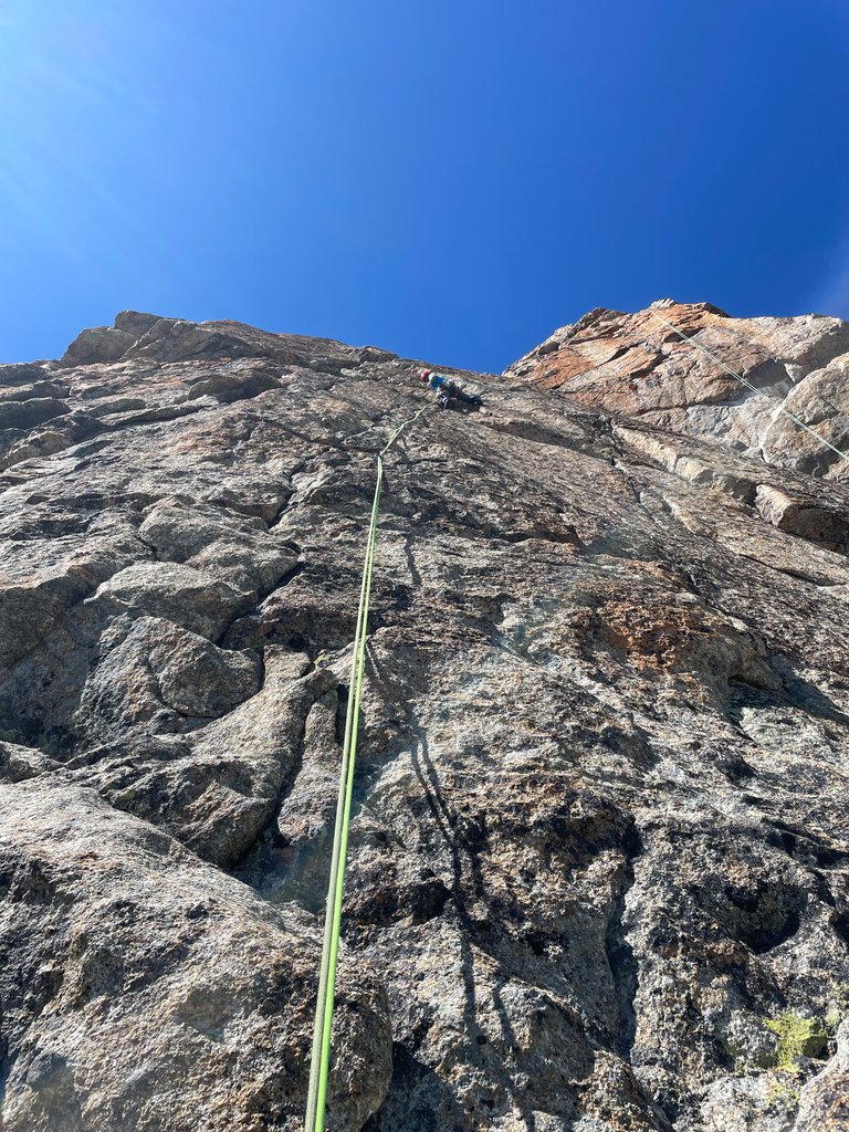
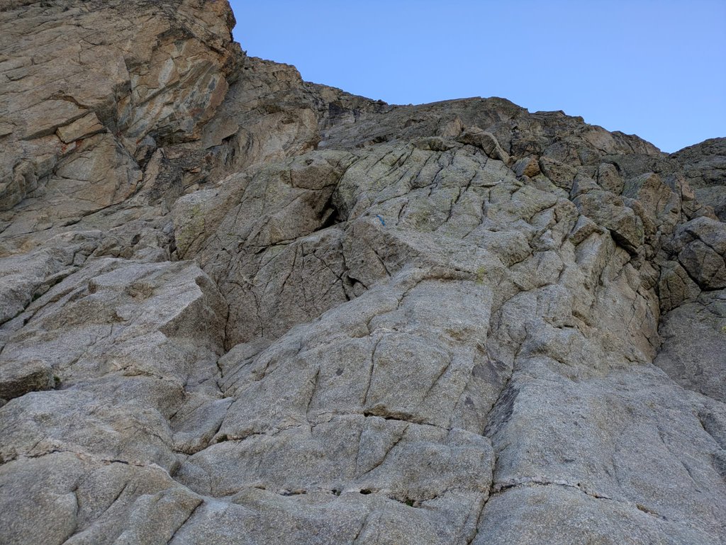
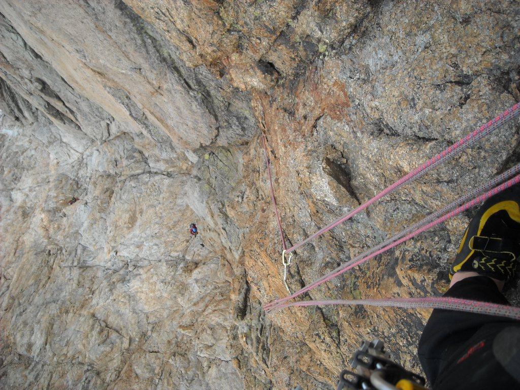
Rock climbing at Monts Rouges de Triolet – 2a punta centrale in Aosta Valley, Italy — 7 routes, grades French 5c–6c+. Grades, topo links and photos on the PeakVisor hiking map.
Show more
Climbing
7 routes5c–6c+ FrE
Monts Rouges de Triolet – 2a punta centrale
7 routes · E–SW
Profumo Proibito6b+ (obl. 6a) · 270 m · E Splendida arrampicata di difficoltà omogenea e costante su roccia straordinaria. Spittatura perfetta, ma essenziale (un po' "lunga" in perfetto stile Motto), che si può comunque agevolmente integrare con nut e friend… gulliver.it ↗
Kermesse folk5c (obl. 5b) · 750 m · SW Utili friend dal n. 2 -5 Itinerario molto bello dal tracciato elegante, ma un poco ricercato. Ben chiodato con roccia solida piu' ruvida nella seconda meta',alcuni tratti non seguono una logica classica ma salgono delle… gulliver.it ↗
Cristallina6b+ (obl. 6a) · 250 m · E Prima salita: Gisa e M. Motto, G. Predan, 1994 Bellissima via quasi interamente in fessura, con passaggi molto eleganti. E’ sprotetta dove si possono usare bene i friend (secondo e terzo tiro); gli ultimi tiri sono… gulliver.it ↗
Les Chamois Volant5c (obl. 5a) · 710 m · S Via lunga (19 tiri) ma non difficile. La spittatura, spesso distanziata, richiede confidenza con le difficoltà e capacità di orientamento. La lunghezza della via richiede rapidità nelle manovre di corda. L'ambiente… gulliver.it ↗
Aspettando Asdrubale6b (obl. 6a+) · 280 m · S Protetta ma da integrare Verticalità perfetta con roccia colorata. Materiale: corde da 50m, nut friends fino al 2-1/2 Rifugio Dalmazzi - L1: 6b, - L2: 6a+ - L3: 6a+ - L4: 6b, - L5: 6a+ Discesa in doppia sulla via gulliver.it ↗
We Are the Champions6b+ (obl. 5c) · 360 m · SE Rispetto alle altre della perete è la meno interessante, i primi 4 tiri sono discontinui anche se con con qualche bel passaggio. Si riscatta negli altri 4. Il 5° è decisamente più duro rispetto agli altri. La spittatura… gulliver.it ↗
Tout Fou6c+ · 260 m · SW Altro bel banco di prova firmato Motto&C. Molto severa nell'obbligatorio, ma con roccia bella anche se un po' lichenata. Ambiente fantastico ed avvicinamento lungo e non banale. Sicuramente una delle vie da non perdere… gulliver.it ↗
We use GPS information embedded into the photo when it is available.
3D mountains overlay
Adjust mountain panorama to perfectly match your photos because recorded by camera photo position might be imprecise.
Move tool
Rotate tool
Zoom
More customization
Choose which peak labels should make into the final photo and what photo title should be.
Next
Photo Location
Coordinates work here too — paste them as 69.72728, 20.61890 and press Enter
Satellitte
Flat map
Relief map
Latitude
Longitude
Altitude
OR
Latitude
°'''
Longitude
°'''
Apply
Register Peak
Peak Name
Latitude
Longitude
Altitude
Register
Teleport
PeakVisor
This 3D model of Sagarmatha National Park in Nepal was made using the PeakVisor app topographic data. The mobile app features higher precision models worldwide, more topographic details, and works offline. Download PeakVisor maps today.
Download OBJ model
PeakVisor
The download should start shortly. If you find it useful please consider supporting the PeakVisor app.
PeakVisor for iOS and Android
Be a superhero of outdoor navigation with state-of-the-art 3D maps and mountain identification in the palm of your hand!