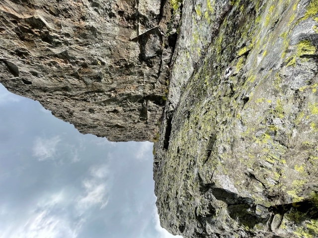
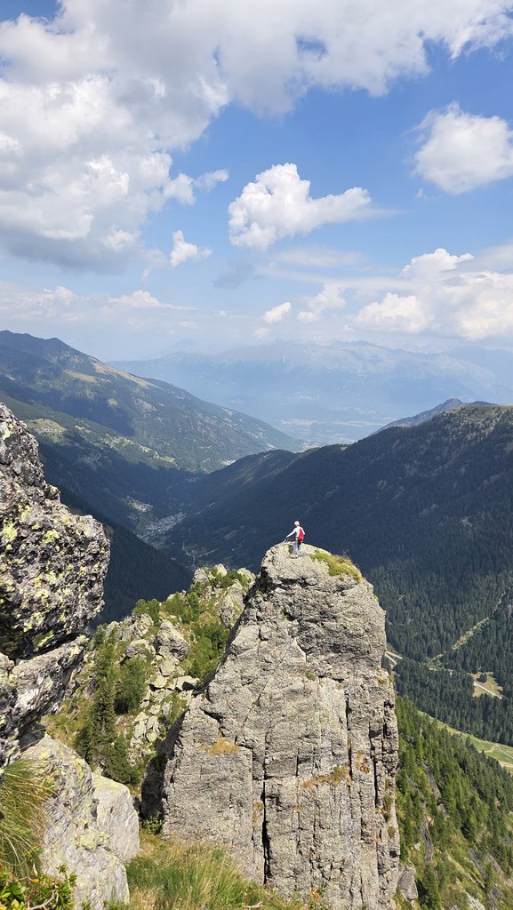
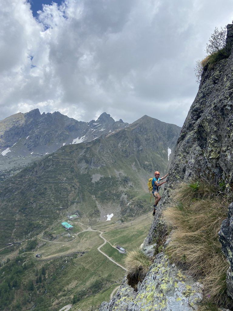
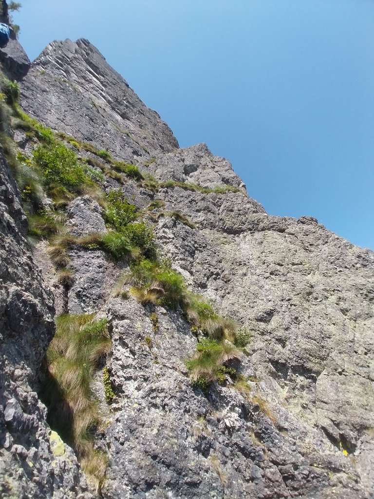
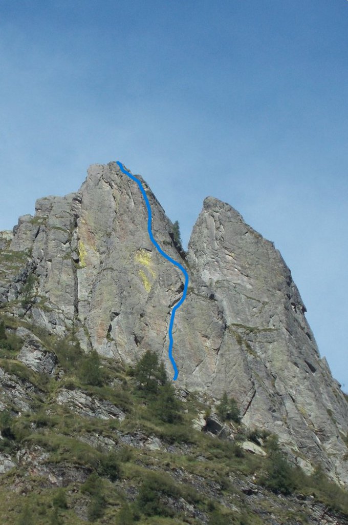
Rock climbing at Denti della vecchia in Lombardy, Italy — 6 routes, grades French 5b–6a+. Grades, topo links and photos on the PeakVisor hiking map.
Show more
Climbing
6 routes5b–6a+ Fr1 sectorNE
Denti della Vecchia
6 routes · 5b–6a+ Fr · NE
Anita 20005b (obl. 5a) · 120 m · NE Arrampicata varia di piedi su gradi morbidi e buona roccia, frequentabile d'estate quando fa caldo (in ombra circa dalle 12.00 a Giugno). Dadi e friend non necessari, resinati abbondanti e in ottimo stato. Discesa con… gulliver.it ↗
Via delle Guide5c (obl. 5a) · 145 m · NE scritta "Via delle Guide V+" alla base della parete. alla base dei resinati bollino bianco per distinguere la via dalle altre vie sportive della parete. chiodatura ottima, tutte le soste attrezzate con catena di calata… gulliver.it ↗
Impossibile Florens6a (obl. 5c) · 120 m · NE Salita plaisir con fittoni resinati. Dalla Val Gerola, raggiungere la seggiovia di Pescegallo dove si parcheggia. Salire per strada sterrata fino alla Piana di Salmurano, all’ultimo tornante prendere il sentiero sulla… gulliver.it ↗
Anita 2000 + Spigolo Sisu5c (obl. 5a) · 120 m · NE Bel concatamento plaisir su ottimo conglomerato, molto frequentato soprattutto d'estate che è la stagione ideale per scalare grazie anche all'esposizione a Nord. Attrezzatura sportiva a resinati, non è necessario… gulliver.it ↗
Kouil Gele + La Benza6a+ (obl. 6a) · 100 m · NE E' possibile anche prendere la seggiovia, 8 euro solo andata, 11 euro A/R. In questo caso bisogna brevemente scendere lungo la carrareccia e poi puntare verso i denti. Via protetta con resinati molto ravvicinati, tipo… gulliver.it ↗
Master Sport6a+ (obl. 5c) · 120 m · NE Salita plaisir con fittoni resinati. Comoda carrareccia per 40 min., poi sentiero per 15 min. La struttura è evidente subito alla partenza. Quattro tiri, discesa veloce con 3 doppie. gulliver.it ↗
We use GPS information embedded into the photo when it is available.
3D mountains overlay
Adjust mountain panorama to perfectly match your photos because recorded by camera photo position might be imprecise.
Move tool
Rotate tool
Zoom
More customization
Choose which peak labels should make into the final photo and what photo title should be.
Next
Photo Location
Coordinates work here too — paste them as 69.72728, 20.61890 and press Enter
Satellitte
Flat map
Relief map
Latitude
Longitude
Altitude
OR
Latitude
°'''
Longitude
°'''
Apply
Register Peak
Peak Name
Latitude
Longitude
Altitude
Register
Teleport
PeakVisor
This 3D model of Sagarmatha National Park in Nepal was made using the PeakVisor app topographic data. The mobile app features higher precision models worldwide, more topographic details, and works offline. Download PeakVisor maps today.
Download OBJ model
PeakVisor
The download should start shortly. If you find it useful please consider supporting the PeakVisor app.
PeakVisor for iOS and Android
Be a superhero of outdoor navigation with state-of-the-art 3D maps and mountain identification in the palm of your hand!