Get PeakVisor App
Sign In
Search by GPS coordinates
- Latitude
- ° ' ''
- Longitude
- ° ' ''
- Units of Length

Yes
Cancel
❤ Wishlist ×
Choose
Delete
The Snowy Protected Area is a pure wilderness area in the Okanagan Range of southern British Columbia, Canada. The protected area encompasses the entire Ewart Creek watershed, along with old growth forests, extensive grasslands, and alpine wetlands and lakes. Snowy Mountain (2,588m/8,491 ft) is the tallest and most prominent of the 4 named peaks in the park.
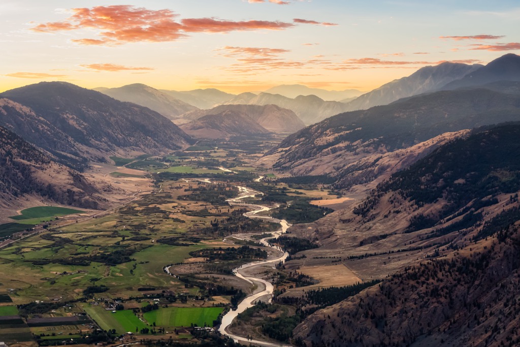
Situated in the Okanagan region of southern British Columbia, Canada, Snowy Protected Area encompasses 25,889 ha (63,974 acres) of old growth forests, and unique alpine and dry grasslands. The park is in the Okanagan Range of what are called the Cascade Mountains in Canada.
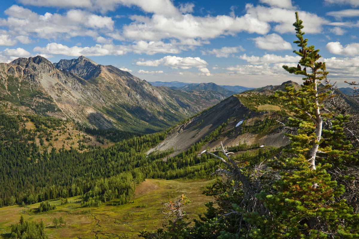
There are two named peaks in the Snowy Protected Area, of which Snowy Mountain (2,588m/8,491 ft) is the tallest and has 551 m (1,808 ft) of prominence, making it the most prominent peak as well. Flatiron Mountain is 1,902 m (6,240 ft) tall and has 46 m (151 ft) of prominence.
The Cascade Mountains are the Canadian extension of the Cascade Range which is predominantly in the United States. The adjacent and nearby Canadian subranges are the Hozameen Range, Bedded Range, and the Skagit Range.
Snowy Protected Area is a pure wilderness area that has no facilities and while there are trails which are used by guides and outfitters, they are not marked nor officially maintained. The primary access to the protected area is via the Ewart Creek Trail head in the adjacent Cathedral Provincial Park.
The Snowy Protected Area is part of the largest expanse of protected wilderness along the Canadian – US border which encompasses about 1.2 million ha (2.9 million acres). The Snowy Protected Area is adjacent to Cathedral Provincial Park in Canada and Pasayten Wilderness and North Cascades National Park in the US.
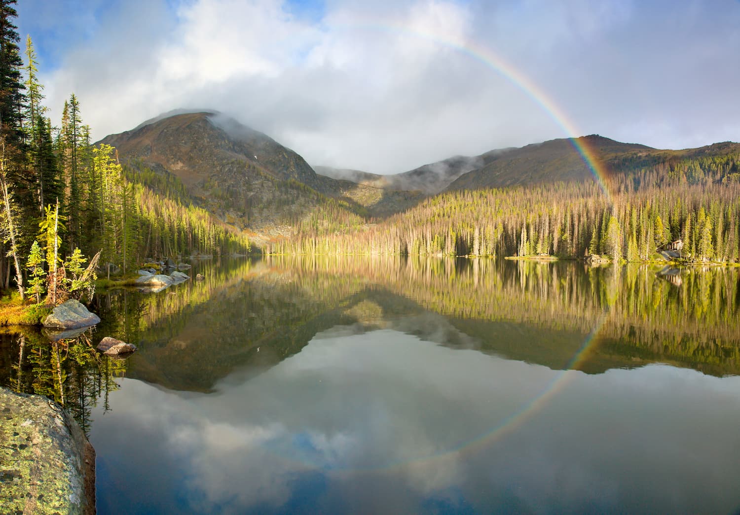
The US parks then adjoin Manning Provincial Park and Skagit Valley Provincial Park in Canada. The following are also some of the nearby wilderness areas and parks:
The Snowy Protected Area is in the northern section of the Cascade Range, which extends southward from Lytton Mountain, near the confluence of the Thompson and Nicola Rivers in British Columbia, to Lassen Peak in California. The northern part of the range, which lies in Canada, is often referred to as the Canadian Cascades or the Cascade Mountains.
The Columbia Mountains and the mountains of the British Columbia Interior border the east side of the Cascade Mountains and the Pacific Ranges of the Canadian Coast Mountains border the west side.
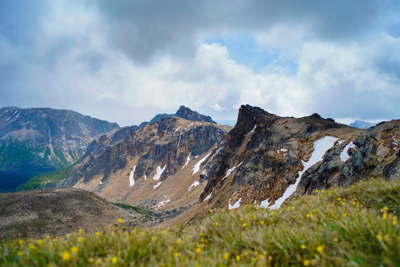
The Cascade Range is part of the Cascade Volcanic Arc, which in turn is part of the Ring of Fire. The Ring of Fire is a volcanic system that extends around most of the Pacific Ocean and is an area of active volcanic and seismic activity.
The Canadian Cascades formed when an oceanic tectonic plate, called the Farallon Plate, subducted beneath the west coast and pushed up a volcanic arc. As the oceanic plate subducted beneath the continent, the high pressures and high temperature forced water out of the subducting rock, which rose through the Earth’s crust as steam.
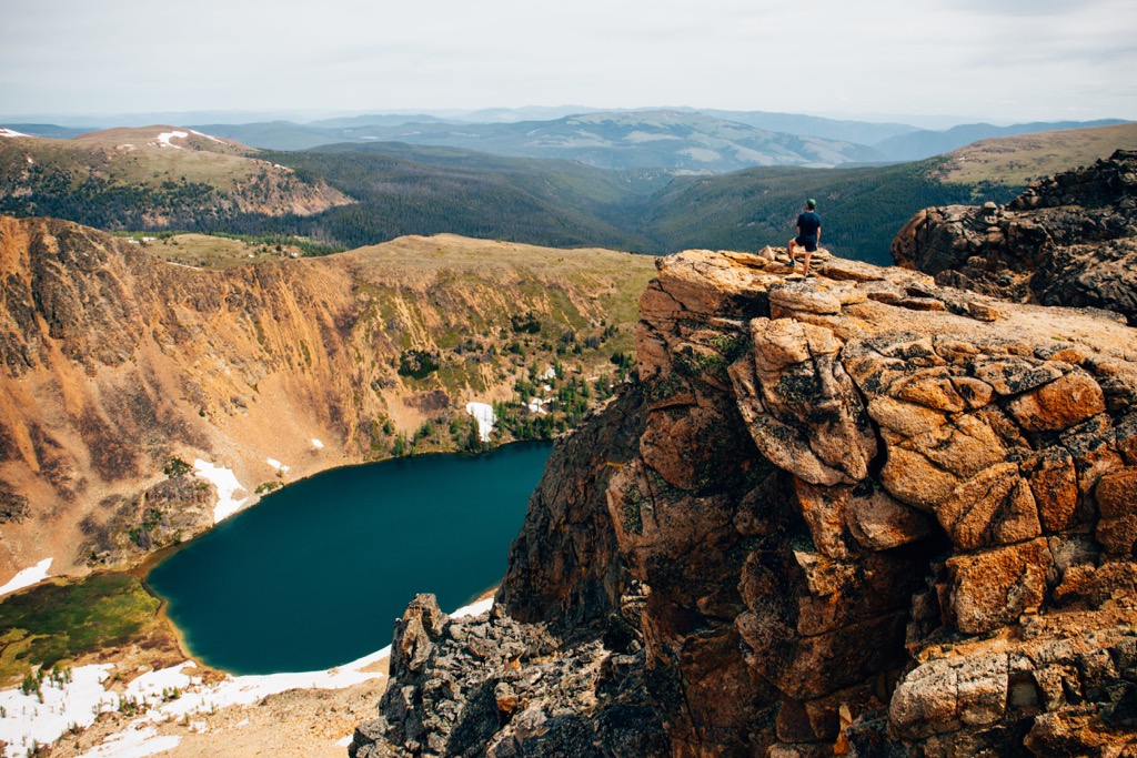
The vapor and steam caused some of the mantle to melt into magma, which in turn rose and erupted upon the surface. The Cascade Range is a series of small volcanoes that formed as a chain along the subduction zone. While the volcanoes were generally small, there are some large volcanoes, such as Mount Hood, Mount Rainier, and Mount Baker that dominate their local landscape.
The tectonic activity caused a significant fault through the region which has been responsible for major earthquakes. Many histories from First Nations of Vancouver Island recount the details of the Cascadia Earthquake of 1700.
The Cascadia Earthquake created a tsunami that struck the west coast of North America and Japan, flooding coasts on both sides of the Pacific. It is estimated that this earthquake was a magnitude 9.0. The tsunamis caused by such earthquakes are likely the floods mentioned in many of the creation stories of First Nations on Vancouver Island.
Regarding the specific geology of the Snowy Protected Area, which is in the Okanagan Range, the mountains are folded and metamorphosed sedimentary and volcanic rocks with granitic intrusions. The ridges and peaks show the effects of intense alpine glaciation through their serrated edges and the cirque basins that are particularly noticeable on the north and northeast slopes.
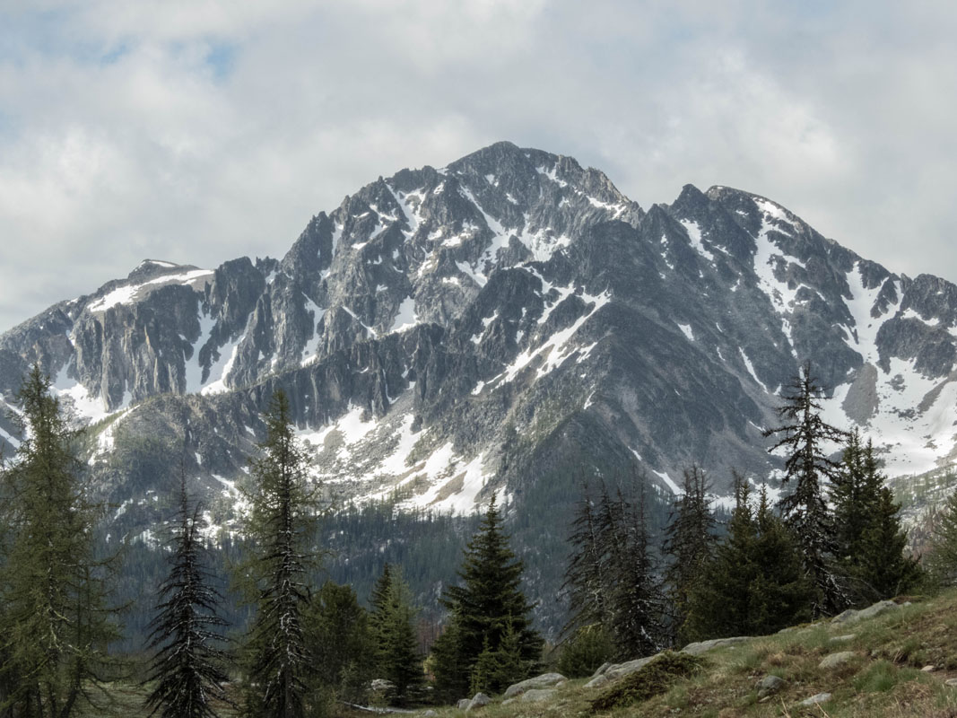
The lower elevations of the park and range were overridden by the ice sheets of the Pleistocene and as such, they have rounded ridges and domed peaks. The range has been deeply dissected by the local Ashnola and Similkameen Rivers and the topography becomes more subtle toward the east as the mountains transition into the plateaus and highlands.
The significant ecological features of Snowy Protected Area are that the area protects a wide range of flora and fauna, including dry grassland valleys and extensive alpine meadows. The park is provincially significant as an important winter range and lambing grounds for California bighorn sheep. Furthermore, the grizzly bears that inhabit the park are part of an estimated population of only 50 grizzlies that inhabit the Canadian Cascades.
The lower elevations of the park are filled with a dense growth of white, Engelmann, or hybrid spruce that is frequently mixed with subalpine fir. There are also stands of lodgepole pine and Douglas-fir which are more frequent in areas disturbed by wildfire. Trapper’s tea, pinegrass, grouseberry, arnicas, falsebox, kinnikinnick, and lupines are the common understory plants.
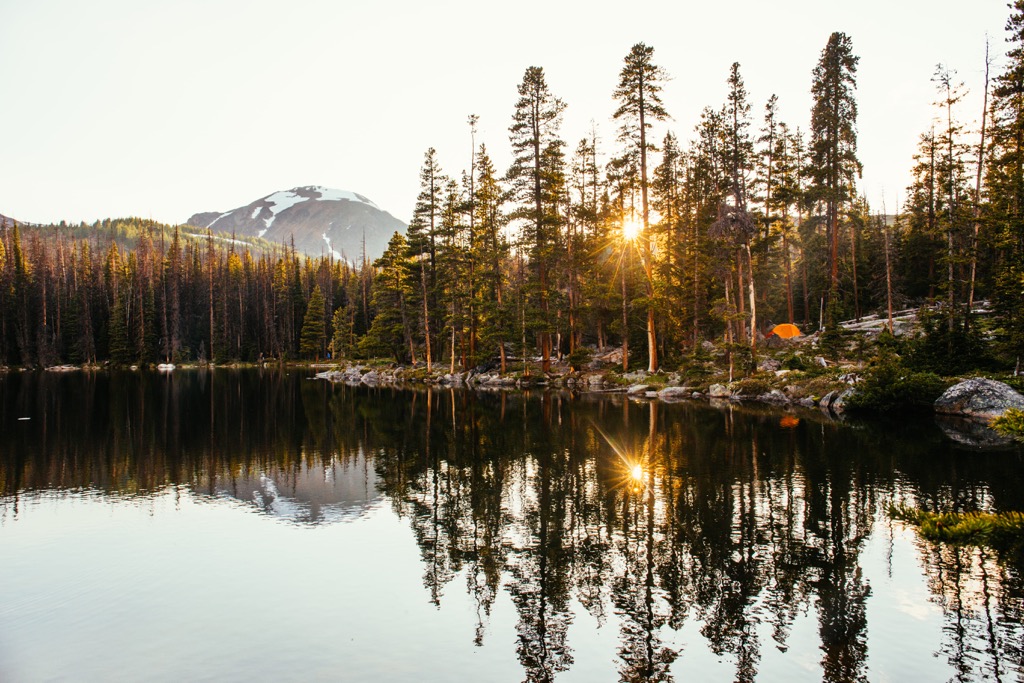
The subalpine slopes of the park are filled with a dense forest of Engelmann spruce and subalpine fir; however, frequent fires have made space for seral forests of lodgepole pine. Understory plants in the subalpine are typically black huckleberry, white-flowered rhododendron, grouseberry, arnica, and Sitka valerian.
Along the alpine border, alpine larch and whitebark pine are found and the higher elevation forests are mixed with sedge-grass meadows. Sedge-grass communities and pockets of heath dominate the alpine with the common plants being sedges, alpine fescue, alpine timothy, dwarf willows, trisetum, mountain-avens, and lupines.
In addition to the grizzly bear and California bighorn sheep, the park is important habitat for the Cascade mantled ground squirrel, fringed myotis, spotted and Townsend’s bat, and the badger. The rocky cliffs and steep slopes provide habitat for the endangered peregrine and prairie falcons and the sandhill crane, white-throated swift, and canyon wren are other birds that inhabit the park.

Mule deer, white-tailed deer, moose, lynx, bobcat, cougar, coyote and the American black bear inhabit the valleys and lower forests of the park. California bighorn sheep and Rocky Mountain bighorn sheep are the most common animals found in the alpine areas of the park, as the cliffs and rocky outcrops help them evade predators.
The Snowy Protected Area is in the traditional territory of the Nlaka’pamux and Syilx First Nations. The Nlaka’pamux and Syilx are part of the Interior Salish Culture which branched off from the Coast Salish Culture about 4,000 years ago, when they migrated inland.
The First Nations of the region traditionally followed a seasonal round of hunting and gathering throughout their territory. While there is little information regarding the prehistoric use of Snowy Protected Area, over 800 lithic artifacts have been discovered in the adjacent Cathedral Provincial Park where it is suspected that the indigenous hunted hoary marmots along the alpine ridges.
Historically the park has been used for hunting, and outfitters and guides have constructed cabins throughout the area, which are still being used. By the late 1960s, when Cathedral Provincial Park was established, local conservation groups began lobbying to have the Snowy Mountain area included as part of the park.
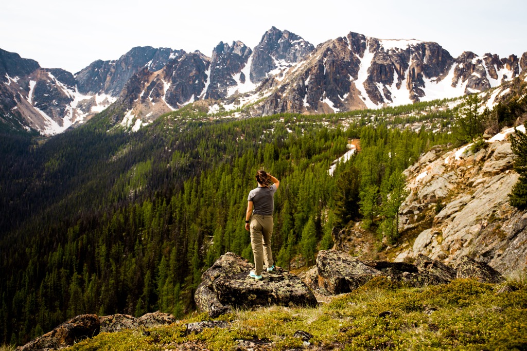
While officials within BC Parks concluded that the Snowy Area had high preservation value in the early 1970s, it took decades for the area to officially become protected land. It was only in 2001 that the Snowy Protected Area was officially established within BC Parks folder of protected spaces.
While there are no official trails in Snowy Protected Area there are some trails that are frequented by guides and outfitters that also make for great backpacking expeditions. The following are the major trails in the park.
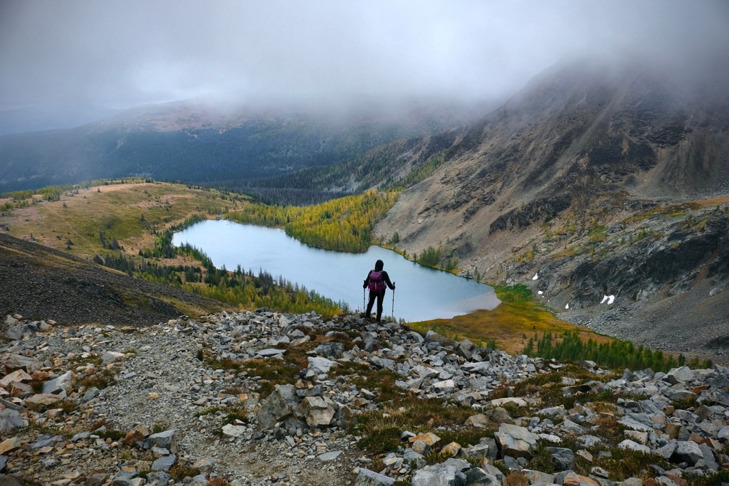
The Ewart Creek Trail follows Ewart Creek, which is the border between Snowy Protected Area and Cathedral Provincial Park. The route to Mountain Goat Creek is a scenic 8 km (5 mi) one-way trek along Ewart Creek that is used by hikers, backpackers, and horses.
While the trailhead is off a narrow and poorly marked logging road, the trail is considered to be well marked and easy to follow. There are steep and technical sections of the hike, which in addition to the 680 m (2,230 ft) of elevation gain, make this a moderate to difficult hike.
Most hikers enjoy that the hike is in the trees and you’re out of the sun on a hot day. The adjacent creek also flows heavily during the hot summer, making it a cool and refreshing place to rest while hiking this trail.
Starting from the same trailhead as the Ewart Creek Trail, this hike follows Ewart Creek for the first 5 km (3 mi) and then you turn and follow a trail through the Snowy Protected Area. The trail to Joe Lake is nearly 19 km (11.5 mi) and has nearly 2,000 m (6,550 ft) of elevation gain.
While the scenery is spectacular and the destination is worthwhile, many people underestimate the difficulty of this trek. It is considered a moderate hike; however, most people feel it is longer and steeper than anticipated.
Once you’ve made it to Joe Lake, there are many lovely places to camp and options to continue exploring this remote wilderness in the Cascade Mountains. Visitors to Joe Lake can continue past the Lake to reach Harry Lake, which is a lovely alpine lake at the foot of a rocky bowl. Climbing the ridge past Harry Lake can take you to the summit of Snowy Mountain.
This trail is good for hiking, snowshoeing, horses, mountain bikes, and cross-country skiers. There are cabins in the park; however, the only official public use cabin burned in a wildfire in 2016.
The pristine wilderness of the Snowy Protected Area is a wonderful place to visit and explore. The following are the closest communities and cities to this beautiful and remote wilderness park.
Keremeos is the closest community to the Snowy Protected Area and is about 10 km (6 mi) north of the park. Known as the Fruit Stand Capital of Canada, Keremeos is an agricultural community near the Similkameen River and surrounded by mountains, orchards, vineyards, and farms.
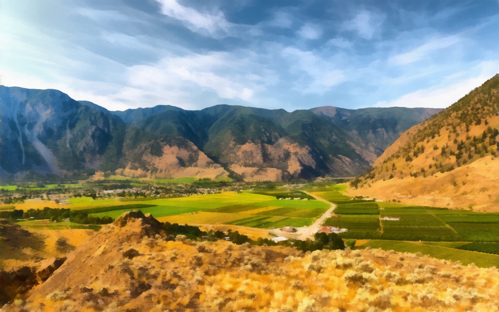
Visitors to the community can follow the river paths, rest at Pine Park, sample the vineyards throughout the valley, and visit Grist Mill and Gardens which is western Canada’s only working water wheel-powered flour mill.
Located at the crossroads of BC’s Highway 3 and 3A, it’s a great starting point for adventures in Cathedral Provincial Park, Snowy Protected Area, and the Ashnola Recreation Area.

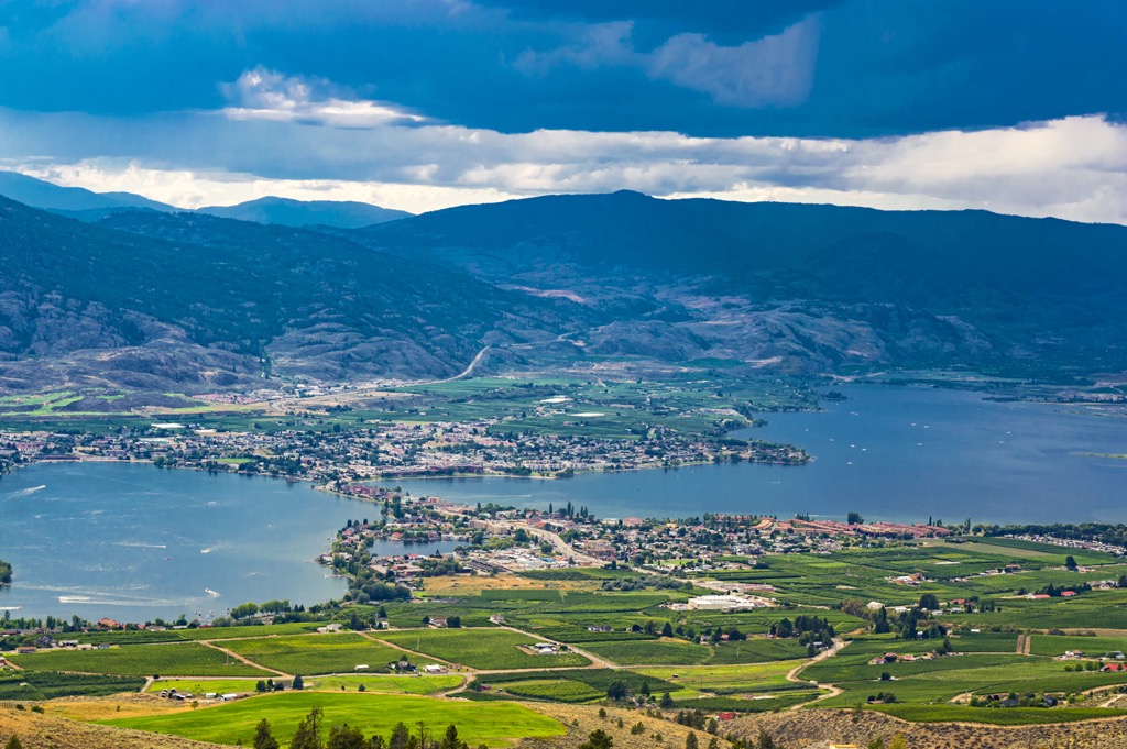
The town of Osoyoos is located about 20 km (12 mi) east of the Snowy Protected Area and about 50 km (30 mi) east of Keremeos. The town is a popular destination for travelers seeking warm weather and beaches.
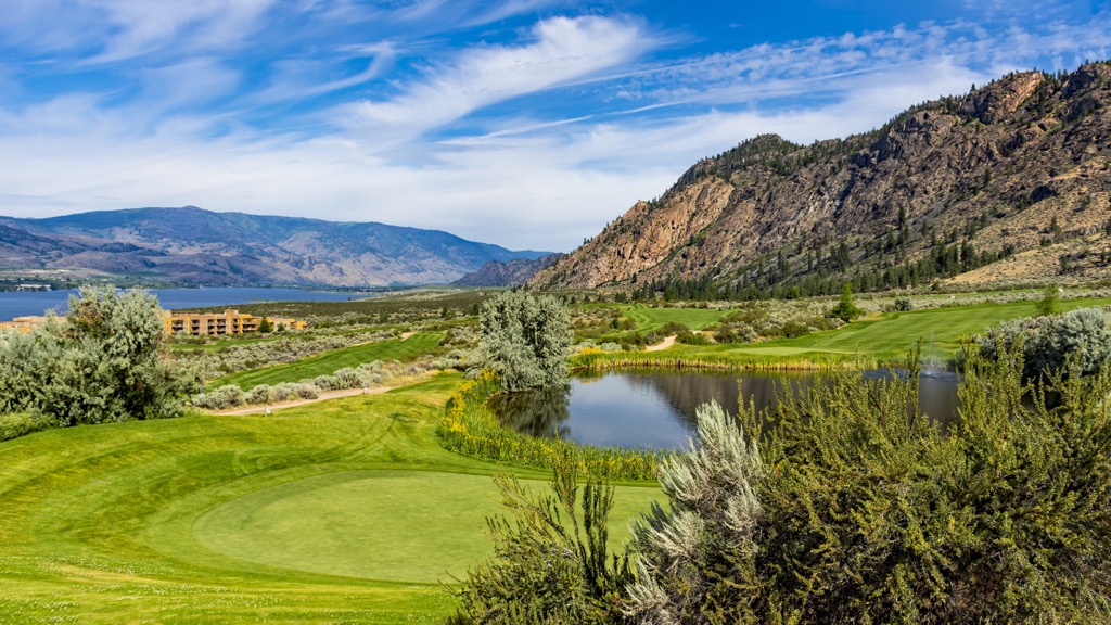
There are many accommodation options ranging from campgrounds to hotels; however, most locations will fill up quickly during the summer and on nice weekends in the spring and fall.
As one of the warmest freshwater lakes in Canada, Osoyoos Lake is the major attraction for tourists. However, some other worthwhile local attractions include Spotted Lake, which is a saline endorheic alkali lake, the Osoyoos Desert Centre, and the Nk’mip Desert Cultural Center.
Nearby wilderness hiking and recreation areas include South Okanagan Grasslands Protected Area, White Lake Grasslands Protected Area, Vaseux Protected Area, and Anarchist Protected Area. Other regional features are Brent Mountain Protected Area to the northwest, and Snowy Protected Area and Cathedral Provincial Park to the west.
Explore Snowy Protected Area with the PeakVisor 3D Map and identify its summits.


