
Scan the QR code and open PeakVisor on your phone
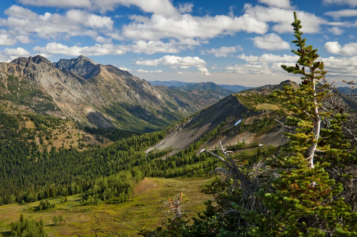
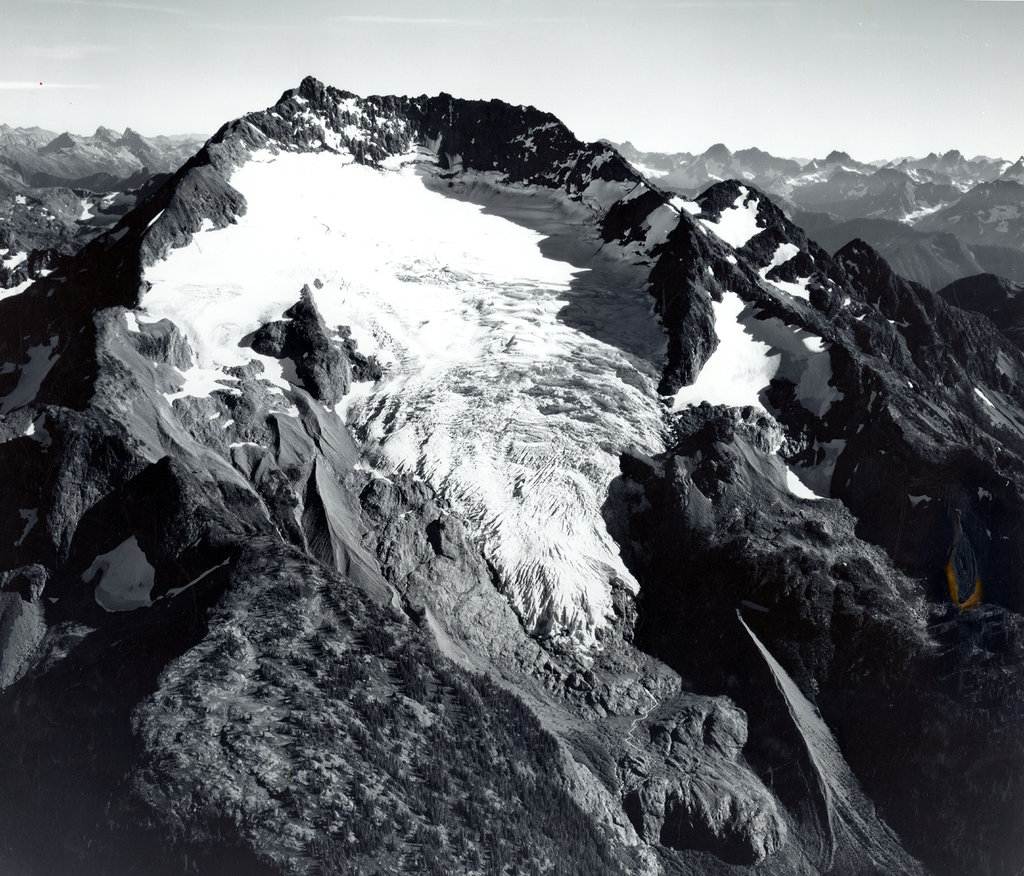
There are 93 named mountains in Pasayten Wilderness. Jack Mountain is the highest point. The most prominent mountain is Remmel Mountain. The Pasayten Wilderness spans 531,000 acres covering 50 miles of the border between the United States and Canada. There are nearly 150 peaks and 160 identified bodies of water. The western side of the wilderness is rugged as it follows the cascade mountain range. The eastern side begins to flatten out into plateaus. With over 600 miles of trails, the region is home to deer, moose, bighorn sheep, mountain goats, and the largest population of lynx in the Lower 48 states. The Pacific Crest Trail travels through the Pasayten Wilderness for 32 miles before reaching Canada. The Boundary Trail starts in the southeast corner and travels 73 miles northwest until it joins with the Pacific Crest Trail.
One of the most well-known lollipop loops that totals 42.3 miles with 5,788 feet of elevation gain and loss. This multi-day backpacking trip takes you through some of the most breathtaking spots within the Pasayten Wilderness. Passing through Tungsten Lake, Apex Mountain, Cornwell Lake, Apex Pass, Cathedral Pass, and Cathedral Peak. This hike travels through some of the most remote trails within the state of Washington. There is a small population of Grizzly bears in the area so be sure to be prepared while hiking.
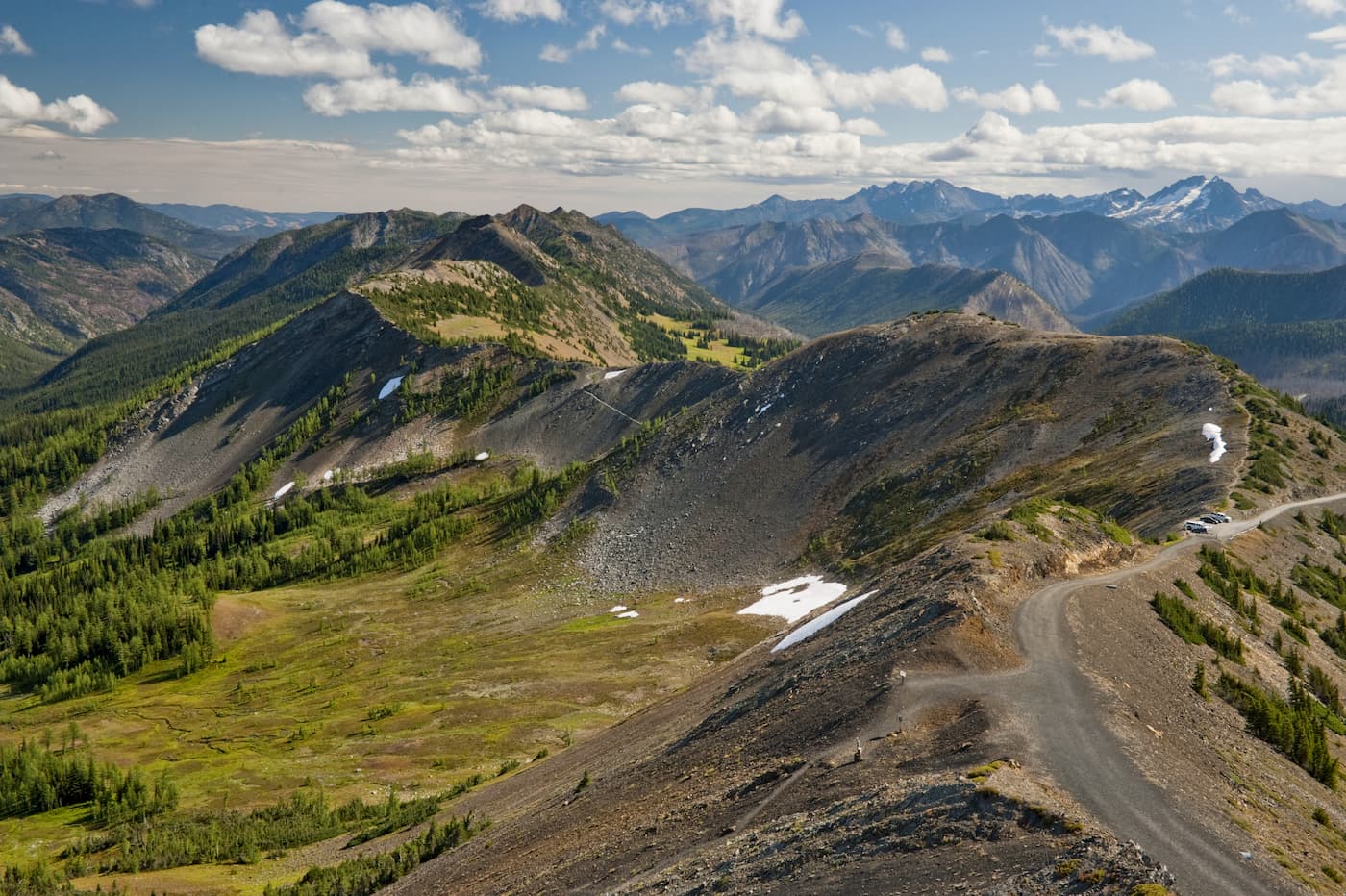
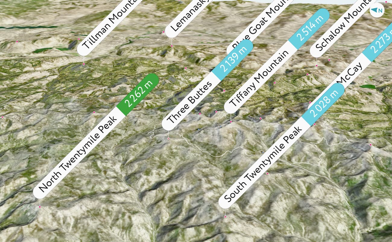
Despite the name, this hike is actually 12.8 miles with 4,387 feet of elevation gain. The hike ends atop Twentymile peak where you’ll find two old lookout towers from the 1920’s and 1940’s. From there you’ll be able to see Remmel Mountain to the northwest, Tiffany Mountain to the southeast, and the Sawtooth Range to the south.
Located at the eastern edge of the Pasayten Wilderness, near the Canadian border, this 12-mile hike is worth the long drive. Arrive early or camp at the trailhead to ensure you have plenty of time to explore this unique scenery. Horseshoe Basin is one of the few places in the lower 48 states to contain arctic tundra. Be alert as the area is frequented by many bears.
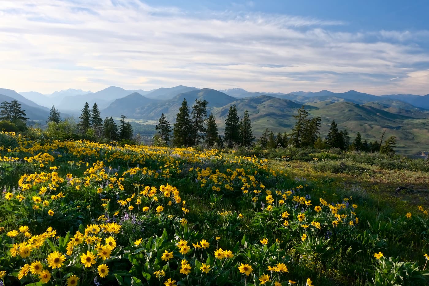
This 9.2-mile hike follows Buckskin Ridge through fields of wildflowers before finally reaching Silver Lake. The hike is full of Indian paintbrush, yellow aster, lupine, and various other wildflowers. As you head up the Buckskin Ridge, the trail joins with Gold Ridge before dropping down 200 feet to arrive at Silver Lake.
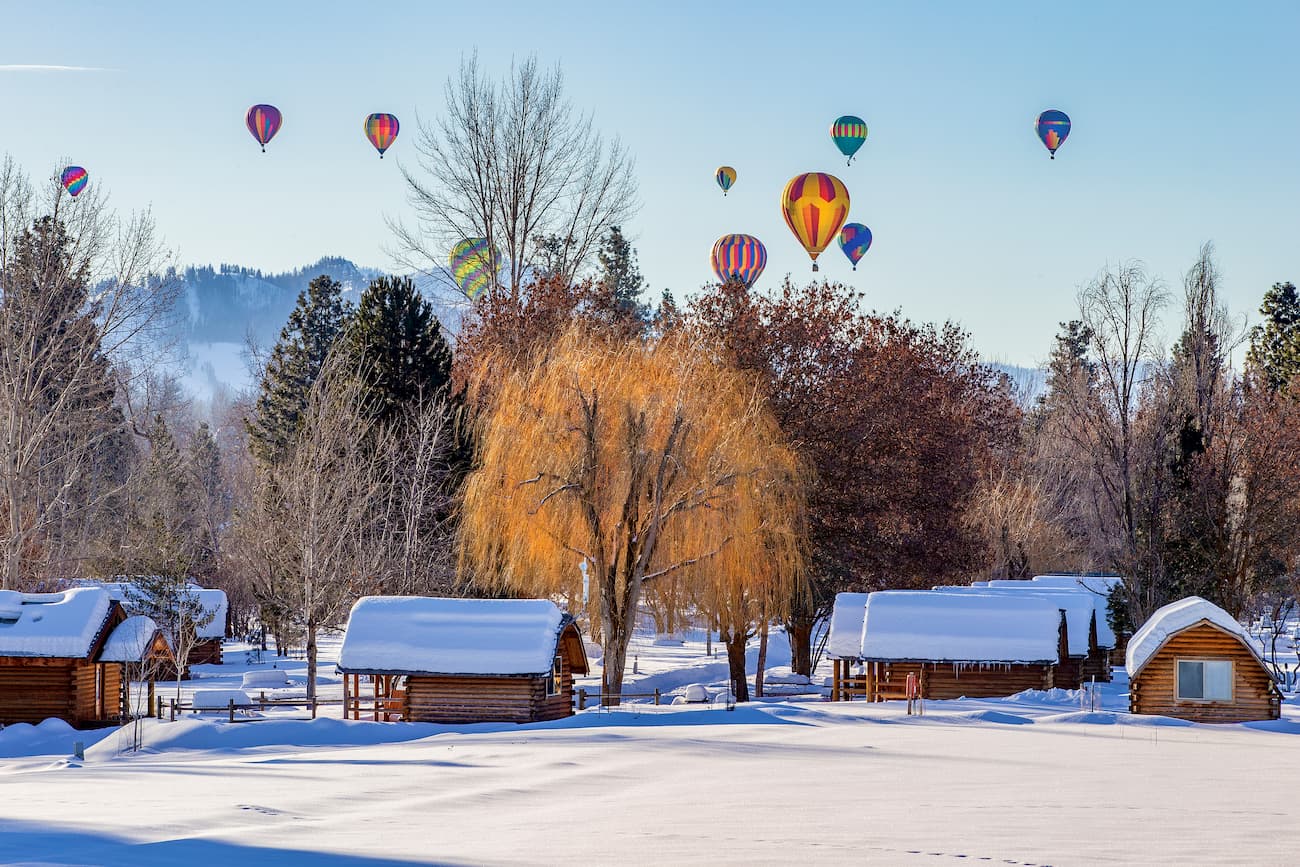
Winthrop is a small mountain town located at the southeast corner of the Pasayten Wilderness. Although it only has a population of a couple hundred people, its quaint atmosphere and proximity to the wilderness, makes it a common stop for hikers. Winthrop is designed to look like an old western town; complete with antique boardwalks, boutiques, restaurants, and cozy overnight options.
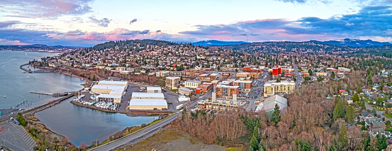
Located in the northwestern part of Washington, Bellingham is a paradise when it comes from outdoor adventure. The city is known as being a mecca for trail running, hiking, and mountain biking with a population of 80,000. The city sits on the water of Bellingham Bay and is two hours west of the Pasayten Wilderness. From Bellingham, follow Interstate 5 (I-5) south for approximately 20 miles before hopping on Highway 20. This will take you through the North Cascades National Park until you arrive in the Pasayten Wilderness. Note that Highway 20 is closed during the winter months.


glacier
cascade-range-9000ers
washington-bulger
smoots-100
mountaineers-cascade-classic
glacier
cascade-range-9000ers
washington-bulger
smoots-100
mountaineers-cascade-classic


