
Scan the QR code and open PeakVisor on your phone
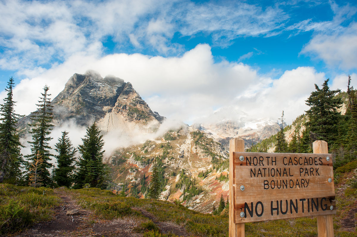
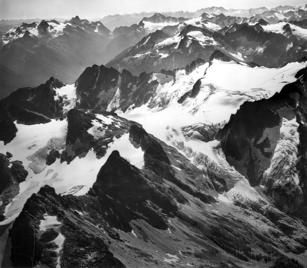
Just three hours from Seattle, Washington, the stunning North Cascades National Park covers more than 500,000 acres. The park features the towering glaciated peaks of the North Cascades Range (often called the American Alps) with more than 300 glaciers - the most expansive glacial system in the contiguous United States. There are 93 named mountains in North Cascades National Park. Goode Mountain is the highest point. The most prominent mountain is Mount Spickard. The park contains eight distinctive life zones supporting thousands of different plant and animal species. It’s one of the largest ranges of biodiversity found in any US national park, including 75 animal species and over 200,000 acres of old-growth forests.
During the summer, the main route to the park is the North Cascades Highway. This leads to many of the park’s popular hiking trails and stunning blue lakes. The visitor and information centers in the area are typically open May through October. There is no admission fee to enter the park.
While the park is “always open”, due to deep snow and avalanche risk, visitation and services during the winter months is limited. The North Cascades Highway is typically closed between late November and early May each year.
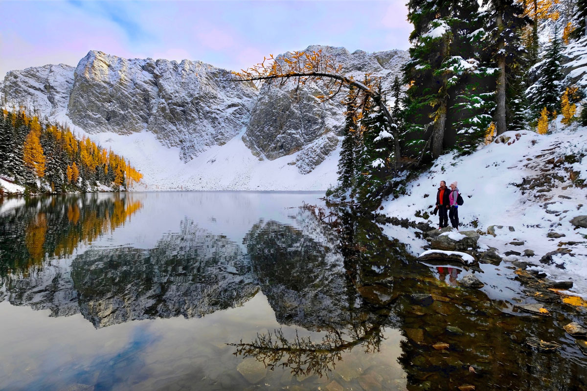
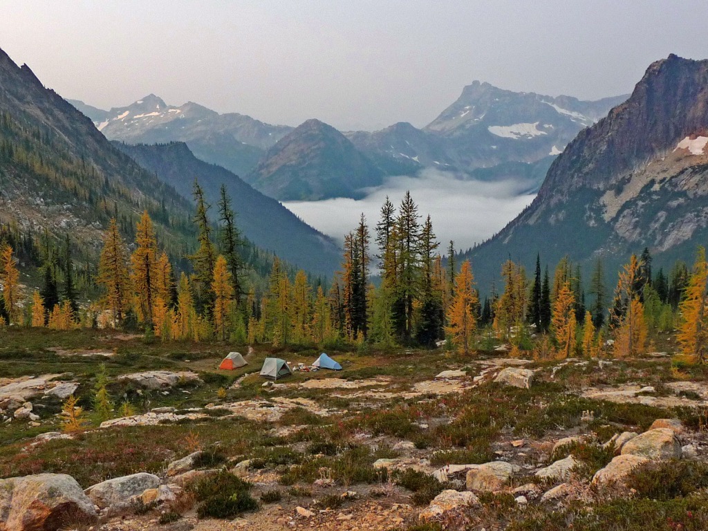
Hikers flock to the North Cascades in the fall to view the golden larch trees. One of the best places to see them is along Maple Loop Pass. This 7.2-mile loop trail takes you to the shores of Lake Ann up to Heather Pass and along a ridge with expansive views of the North Cascade peaks. It’s a beautiful hike in the summer too as the trail is lined with wildflowers.
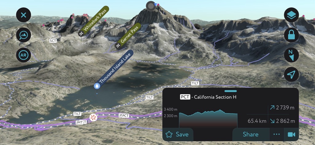
The Pacific Crest Trail (PCT) goes through the park, crossing over Washington Pass. You can reach Cutthroat Pass along a moderately steep section of the PCT. Along the way, you see big peaks, huckleberry bushes, wildflowers and gorgeous views of Cutthroat Lake.
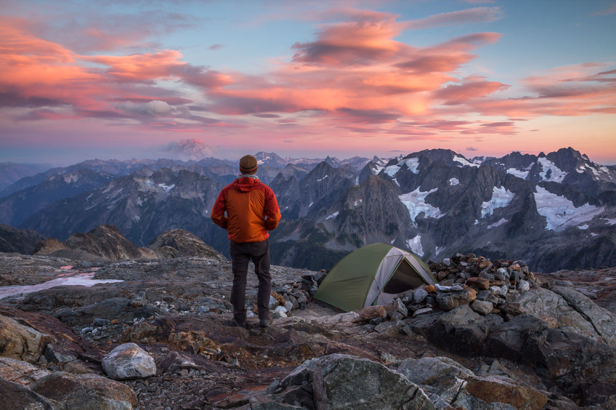
Cascade Pass and Sahale Arm is a must-do trail for avid hikers eager to see the best of the North Cascades. You’ll have to push through dozens of switchbacks, but the beautiful forest, alpine meadows and peak views along the way make it worth it. The scenery is stunning at Cascade Pass but strong hikers should push on to Sahale Arm (or camp overnight at Sahale Glacier Camp), located approximately six miles from the trailhead.
The 140-mile North Cascades Scenic Byway, from the Skagit Valley to the Methow Valley, offers numerous viewpoints and vistas. It winds through the heart of the park providing views of cascading waterfalls, glacier-fed lakes and countless rugged peaks.
Two of the most iconic photo ops on the route are at Diablo Lake Overlook and Washington Pass Overlook.
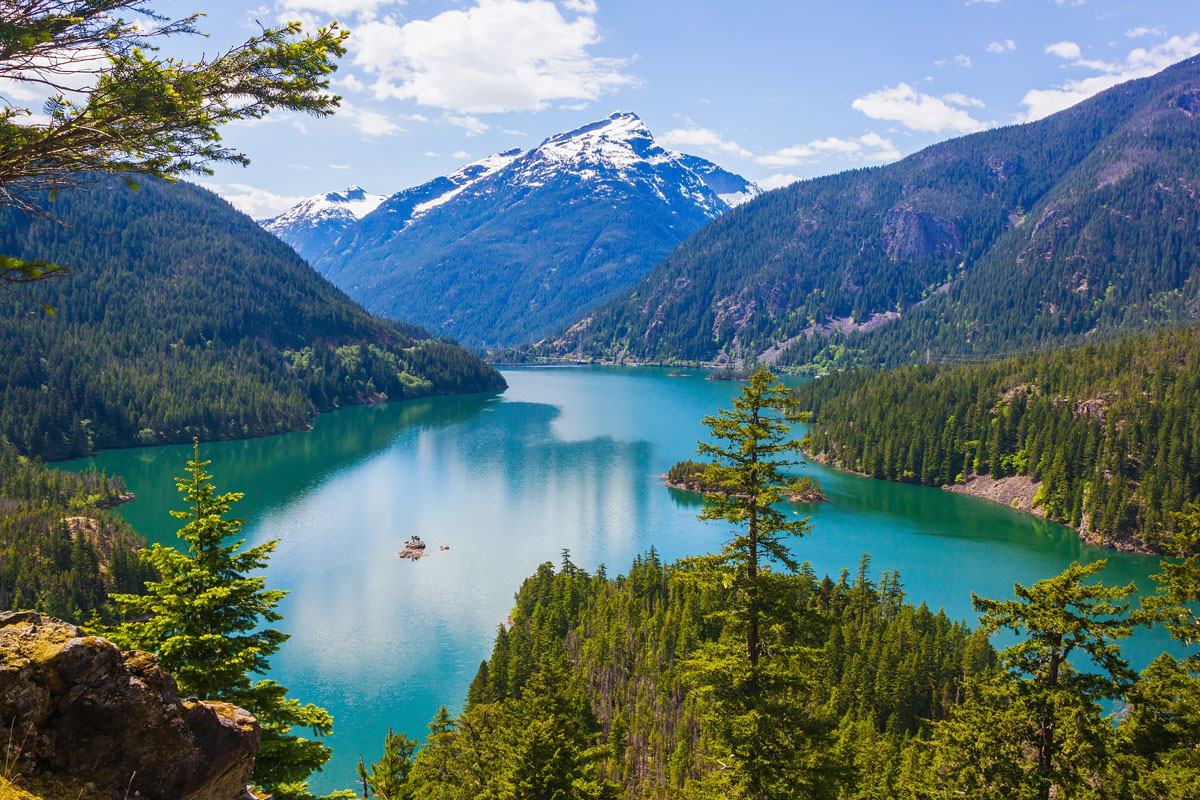
Diablo Lake Overlook is located right off the highway and is a picture-perfect location to view the turquoise lake from above. There’s no hiking trails from the parking lot, but there’s a restroom and an accessible walkway to enjoy the views.
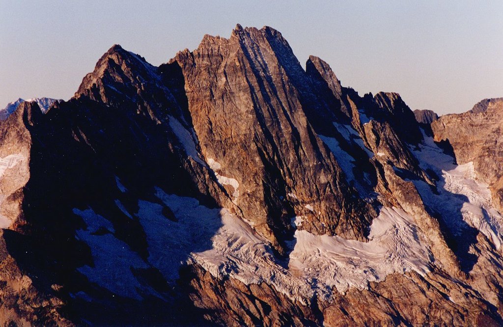
Washington Pass Overlook is the highest point along the scenic byway at 5,500 feet. It divides western and eastern Washington and has stunning views of Liberty Bell and other towering spires. There are many hiking options in the area and it's a perfect rest area to stretch your legs.
The North Cascades Lodge at Stehekin is the only official lodge in the national park. No roads lead to Stehekin, so it’s only accessible by boat, plane or on foot. The communities along the North Cascades Highway boast a number of lodging options, including Ross Lake Resort in Rockport and Sun Mountain Lodge in Winthrop.
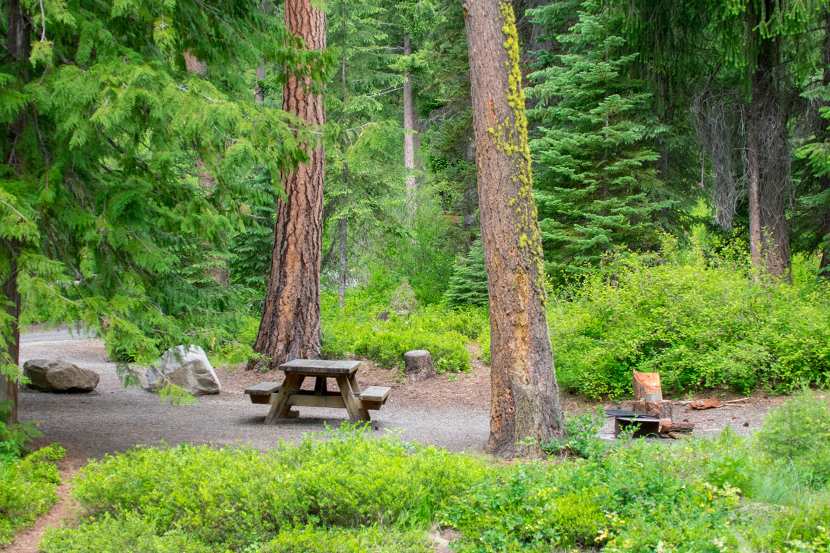
Camping is a favorite activity around the national park with numerous car campgrounds like Colonial Creek located on Diablo Lake. There’s also boat-in only sites on Diablo and Ross lakes and plenty backcountry camp spots - one of the most picturesque locations is Sahale Glacier Camp at about 7,600 feet. Permits are required at boat-in and backcountry sites within the national park.
While there’s limited food service within the park, the towns surrounding the parks have some can’t-miss stops. Try Cascadian Farm in Rockport for delicious, fresh berry ice cream and grab a local microbrew from Old Schoolhouse Brewery in the Old West-style town of Winthrop. Marblemount, on the west side of the North Cascade Highway has several dining options. The Mazama Store, east side of Washington Pass, is a popular stop to grab coffee and hiking snacks.


cascade-range-9000ers
washington-bulger
smoots-100
mountaineers-cascade-classic
mountaineers-everett-classic-8
glacier
cascade-range-9000ers
washington-bulger
smoots-100
chemeketan-18-nw
mountaineers-cascade-classic
mountaineers-bakers-dozen
mazamas-16-nw-award
fred-beckey-great-peaks
cascade-range-9000ers
washington-bulger
smoots-100
mountaineers-cascade-classic
cascade-range-9000ers
washington-bulger
smoots-100
mountaineers-cascade-classic
mountaineers-everett-classic-8
glacier
washington-bulger
mountaineers-cascade-classic
mountaineers-everett-classic-8
washington-bulger
smoots-100
mountaineers-cascade-classic
mountaineers-everett-classic-8
washington-bulger
smoots-100
mountaineers-cascade-classic
mountaineers-everett-classic-8
glacier
cascade-range-9000ers
washington-bulger
smoots-100
chemeketan-18-nw
mountaineers-cascade-classic
mountaineers-bakers-dozen
mazamas-16-nw-award
fred-beckey-great-peaks
cascade-range-9000ers
washington-bulger
smoots-100
mountaineers-cascade-classic
mountaineers-everett-classic-8
cascade-range-9000ers
washington-bulger
smoots-100
mountaineers-cascade-classic


