Scan the QR code and open PeakVisor on your phone
The Okanagan Mountain Provincial Park is located in southern British Columbia in Canada. The park was established in 1973 and today spans 43 square miles across the province. Okanagan Mountain Provincial Park was established to protect Okanagan Mountain that sits along the eastern side of Okanagan Lake within the Okanagan-Similkameen Regional District. Just north of the park lies the city of Kelowna.
Long before European settlers came to the region, the park and surrounding area held a rich history to First Nations. The Salish Indians would use Wild Horse Canyon as a way to trap wild horses, which later gave way to its English name. Trails in the region date back to the late 1800s with some of the first trails passing through Wild Horse Canyon and Good’s Creek Canyon.
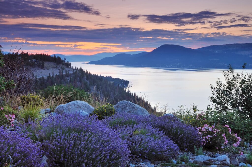
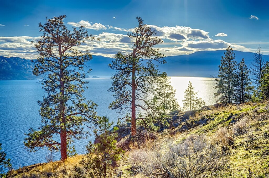
There are 3 named mountains in Okanagan Mountain Provincial Park. The highest and the most prominent mountain is Okanagan Mountain that is 5,164 feet tall. Besides the main mountain feature, the park also has various lakes, and an extensive network of trails. Park borders Okanagan Lake providing it with nearly 20 miles of shoreline. Lower elevations in the park are characterized as the bunchgrass and Ponderosa pine zones. Much of the park is dominated by these pine trees and Engelmann spruce.
Though a smaller park based on its size, the Okanagan Mountain Provincial Park is home to a wide variety of wildlife. Throughout the forest roam deer, elk, moose and coyote, as well as bats and skunks, though they are more difficult to find. While the forest provides room for hiking, horseback riding, and biking the water is ideal for fishing, swimming, and camping. There are six campgrounds along the remote shore with more found in the backcountry.
Wildhorse Canyon: The Wildhorse Canyon trail takes hikes on a 6-mile loop with just under 1,500 feet of elevation gain. The trail starts climbing near the shoreline up into the canyon. After a few miles the trail begins hiking away from the water before looping back to the start. Though part of the trail wind through the forest, there are viewpoints throughout, partially due to a major fire that occurred in the region nearly two decades ago.
Coyote Peak: The hike to the summit of Coyote Peak is a 4.6-mile roundtrip with just over 2,000 feet of elevation gain. The steep climb is worth the viewpoints at the top where hikers can see panoramic views of Okanagan Lake and the rolling hills down below.
Okanagan Mountain: The trail to the summit of Okanagan Mountain is 10.5 miles out and back with 2,700 feet of elevation gain. The trail starts on the south end of the park and climbs into the middle, where the summit of the mountain lies. From the parking lot the route passes alongside some of the lakes within the park, passing creeks and the forest before eventually reaching the summit.
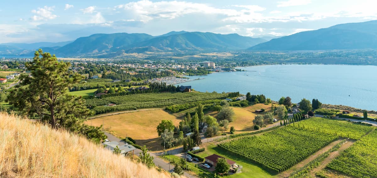
Kelowna lies about 20 minutes north of the Okanagan Mountain Provincial Park. Located on Okanagan Lake within the Okanagan Valley of British Columbia, Kelowna is the seventh largest city within the province. The term Kelowna is derived from the Okanagan language term for grizzly bear. The city sits on the eastern shore of Okanagan Lake and is a notable stop within the wine country. During warmer months the town is full of water sports, hiking, biking, and running. Take a trip to Myra Canyon on the reclaimed Kettle Valley Railway. From there cycle through tunnels and along a steep canyon rock face.
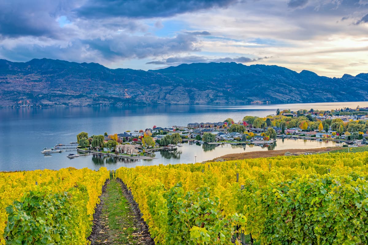
Penticton with a population of just over 33,000, sits 35 minutes south of the Okanagan Mountain Provincial Park. The city sits between the Okanagan and Skaha lakes. The name Penticton is derived from the native Okanagan language and roughly translates to “a place to stay forever”. Much of the surrounding land is characterized by orchards and vineyards while the higher elevation is dominated by pine and fir trees. To the east of the city lies Monashee Mountain while to the west sits the Apex Mountain Resorts. Nearby mountains offer the opportunity for year-round outdoor activities.