
 Historic site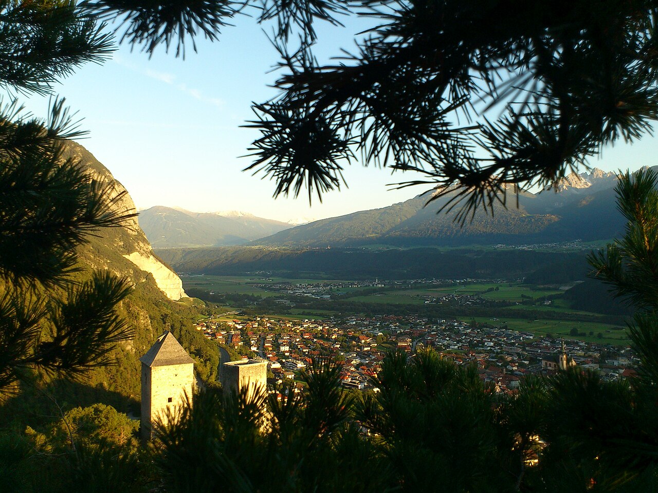








 Summit
Hafelekarspitze
via Karwendel Höhenweg - Gehrichtung Reith-Scharnitz (Etappe 3): Solsteinhaus - Pfeishütte
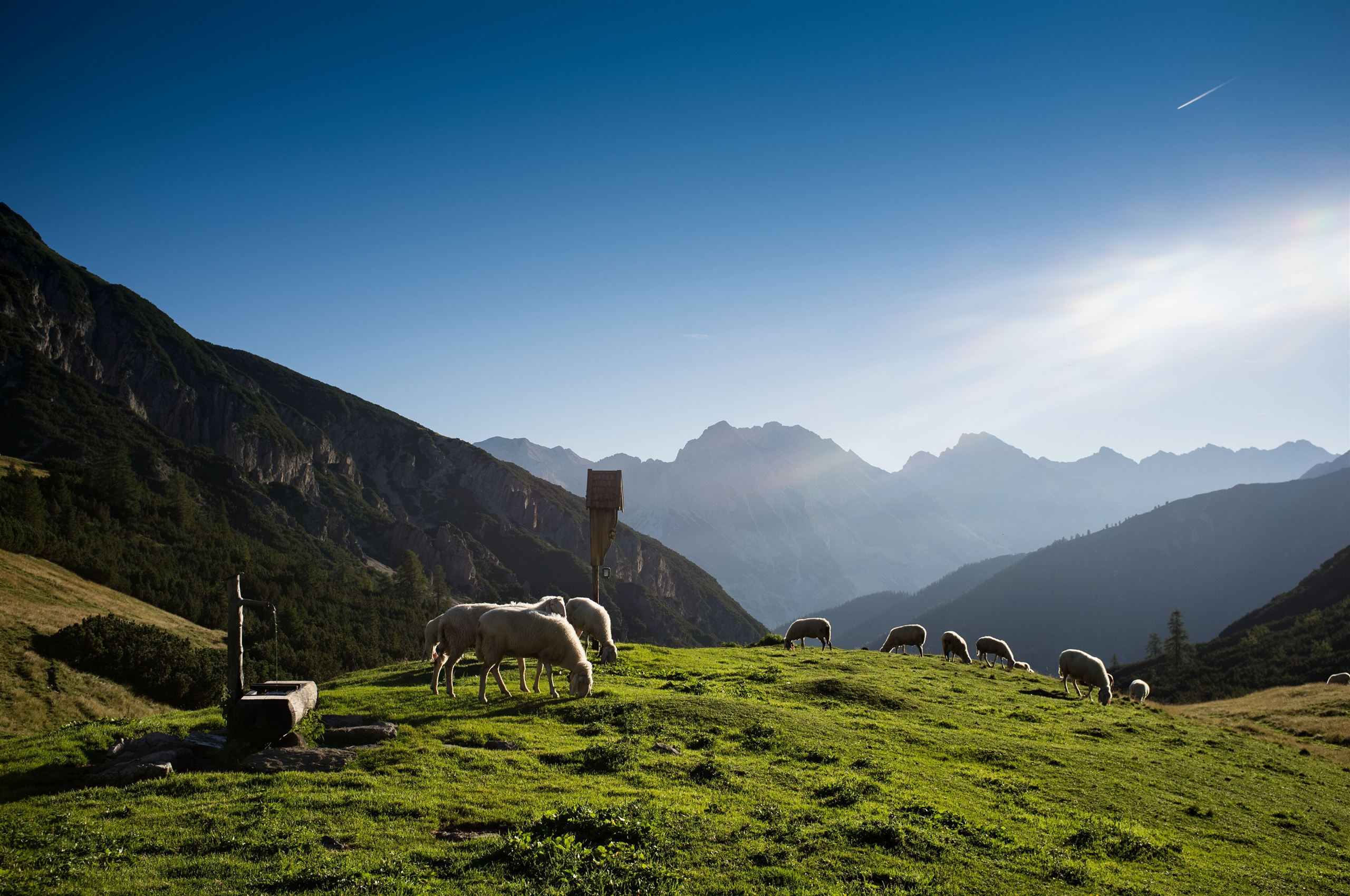
Curated by Region Seefeld
A market town at the Inn's bend below the Martinswand cliff, from which the steep Zirler Berg road climbs to the Seefeld plateau, with the Fragenstein ruin above.
7 from neighbouring places
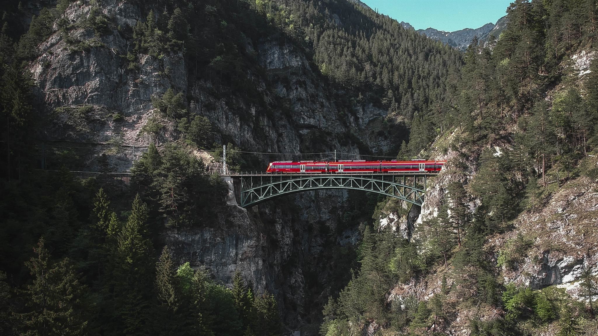
A wooded gorge near Reith bei Seefeld where the Schlossbach falls toward the Inn valley, spanned by a bridge of the Mittenwald railway.
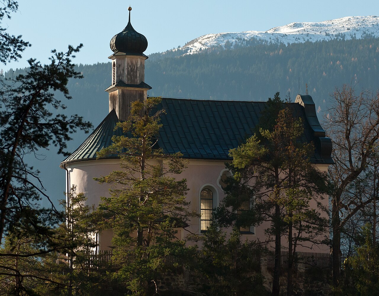
A calvary church on a knoll above Zirl (622 m), the endpoint of a stations-of-the-cross path with views over the Inn valley.
The ruin of a medieval castle on the slope above Zirl (622 m), whose remaining tower and walls overlook the Inn valley.
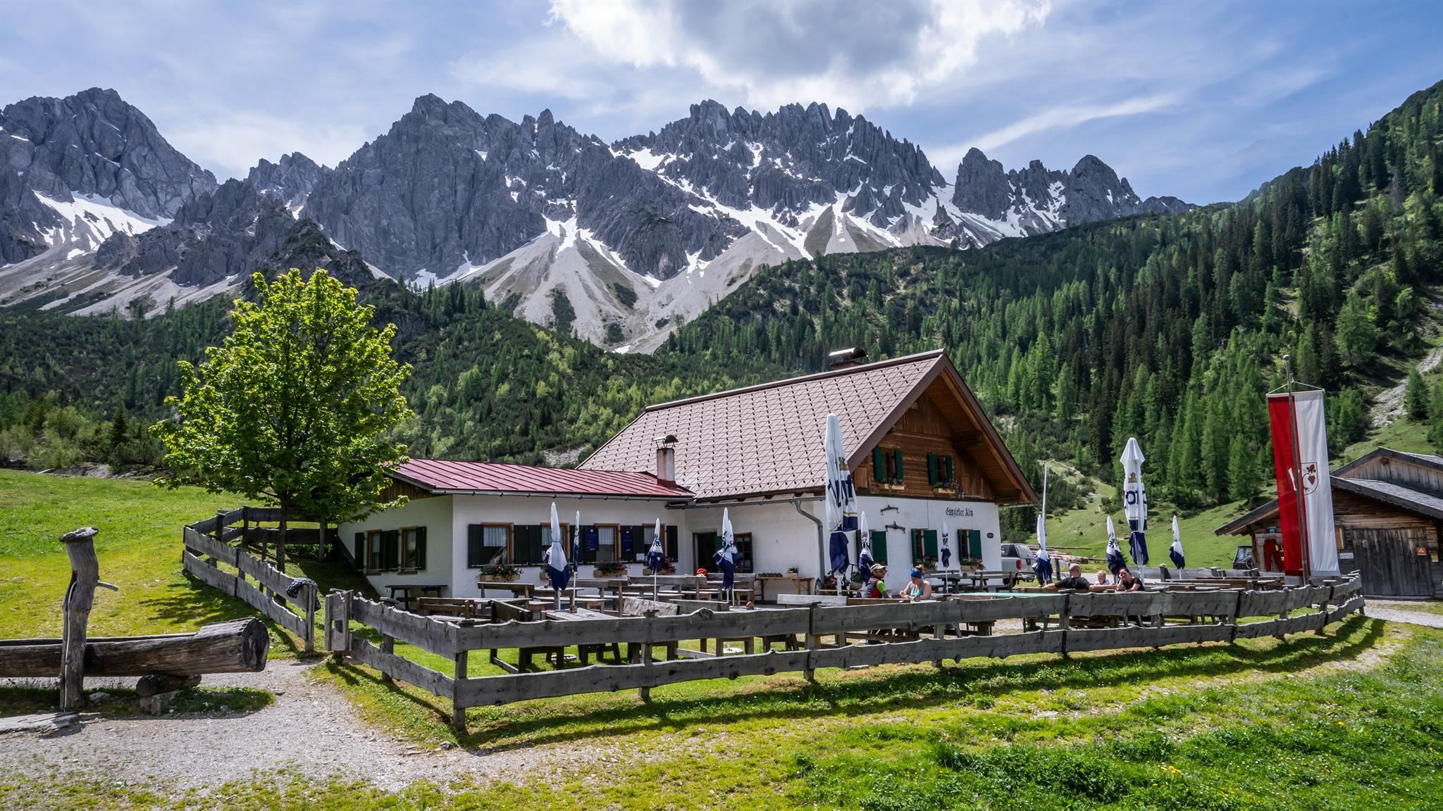
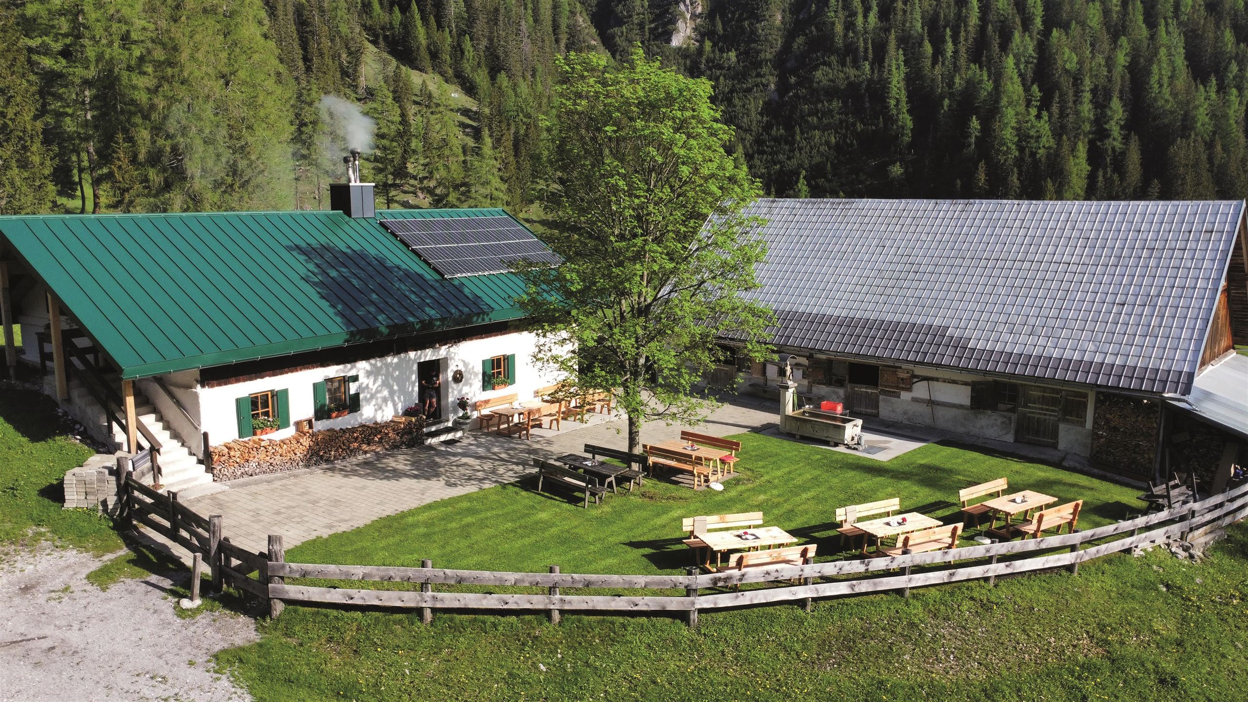
An alm in the Eppzirler Tal, a quiet Karwendel side valley above Scharnitz and Gießenbach, serving walkers below the Erlspitze group.
An alm in the Karwendel valleys south-east of Scharnitz, a stop on the gravel tracks used by walkers and mountain bikers.
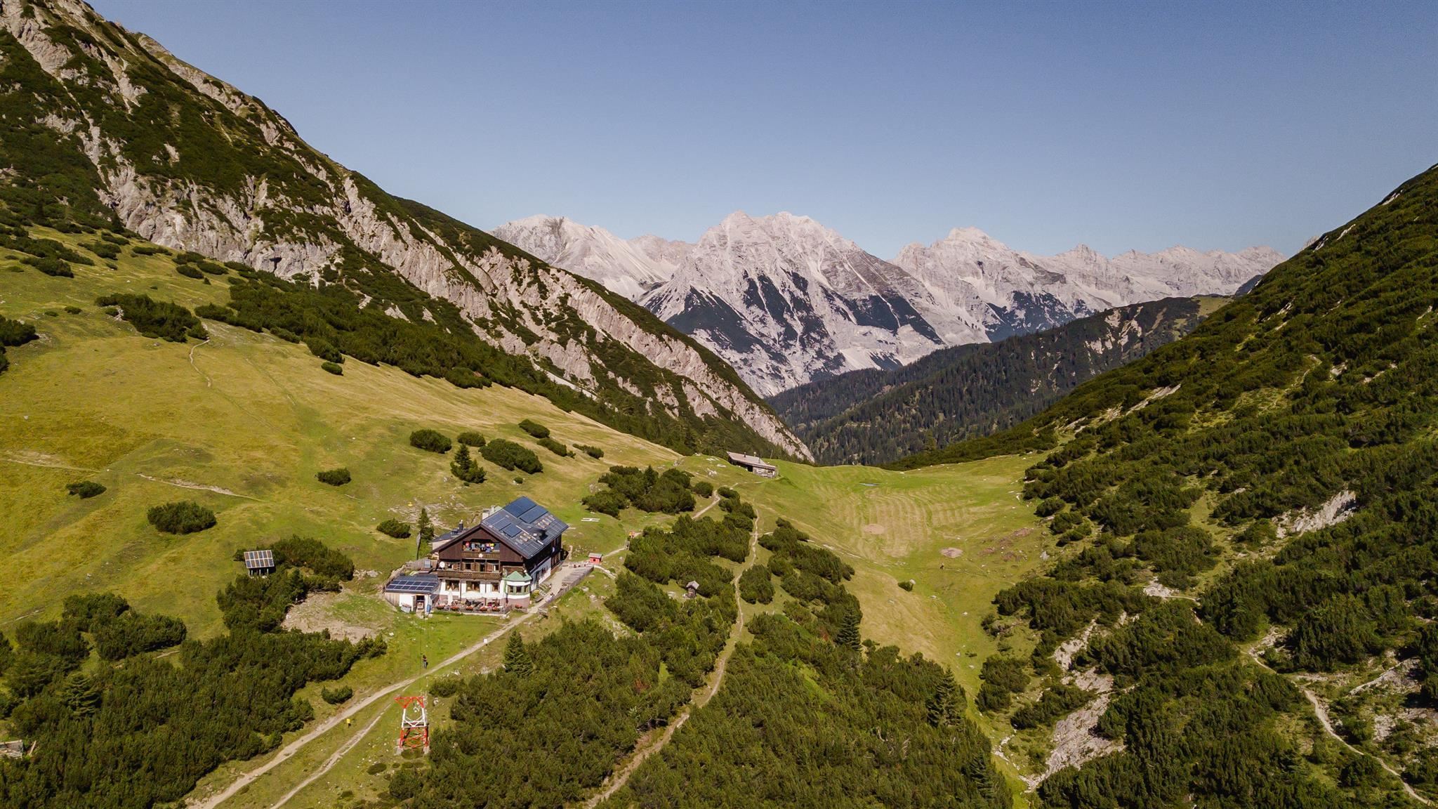
An Alpine Club hut at about 1,800 m below the Erlspitze and Solstein summits, reached from Scharnitz, Gießenbach or Zirl.
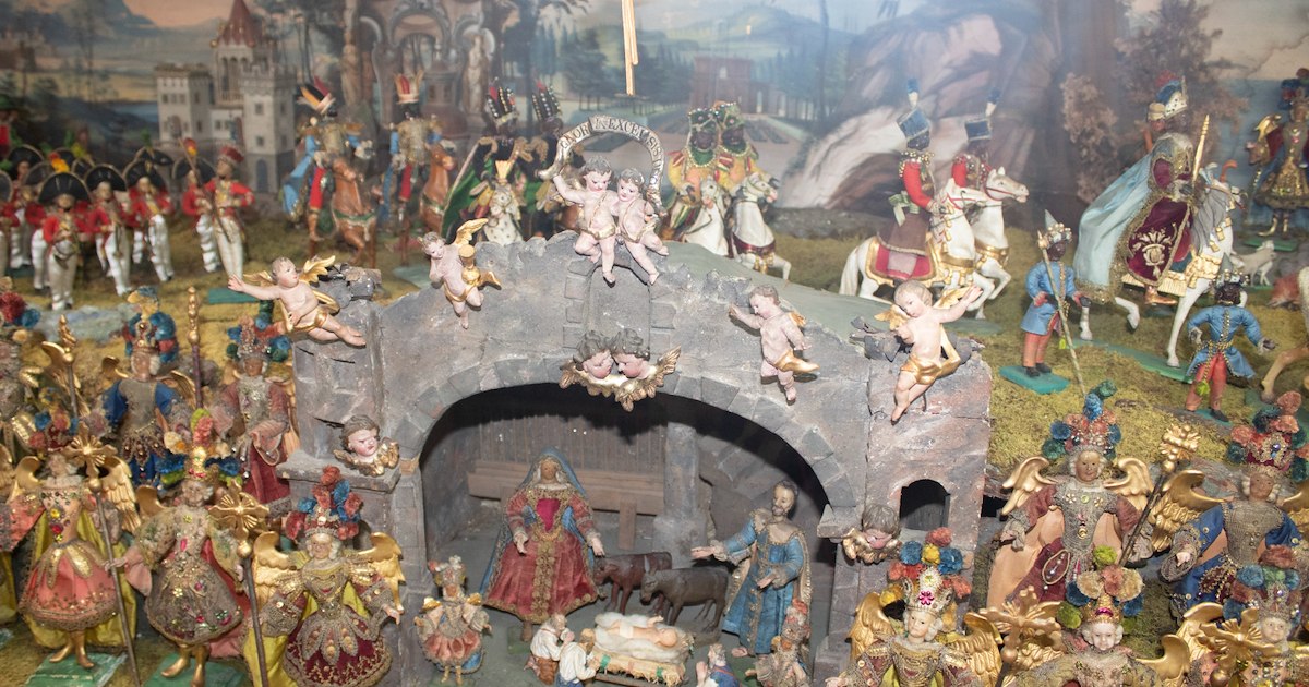
Zirl's local heritage museum, pairing village history with a collection of Christmas nativity scenes from the region.
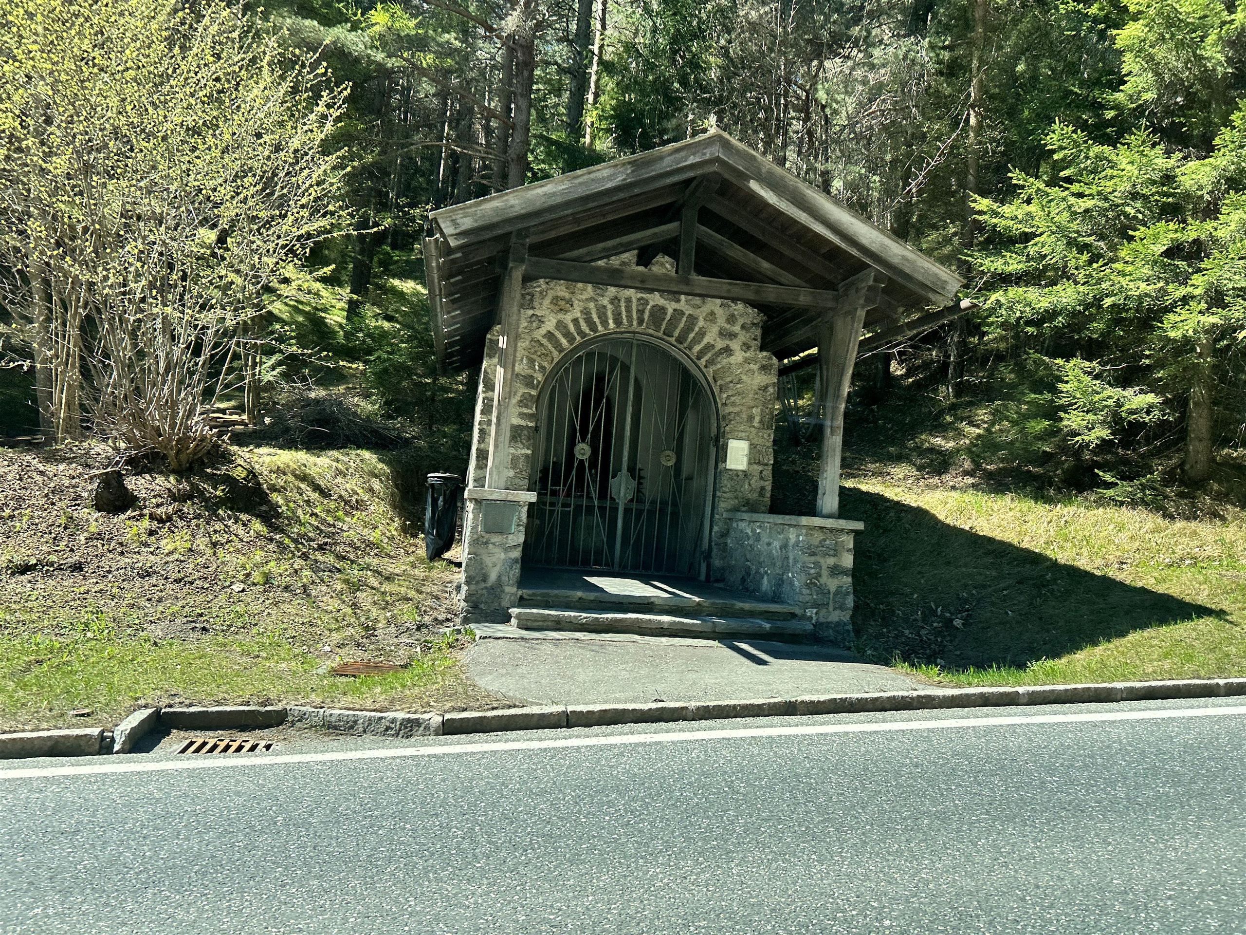
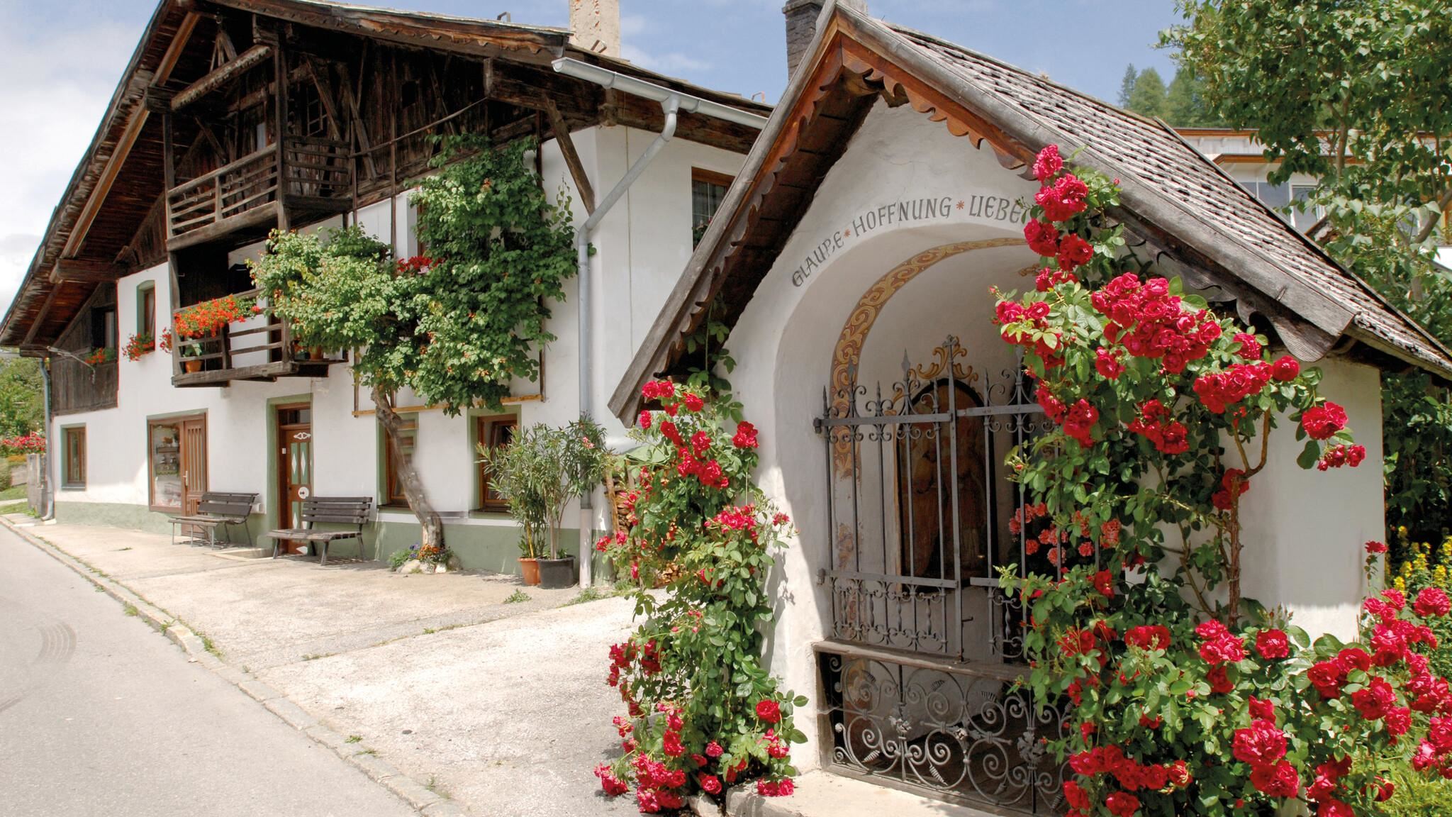
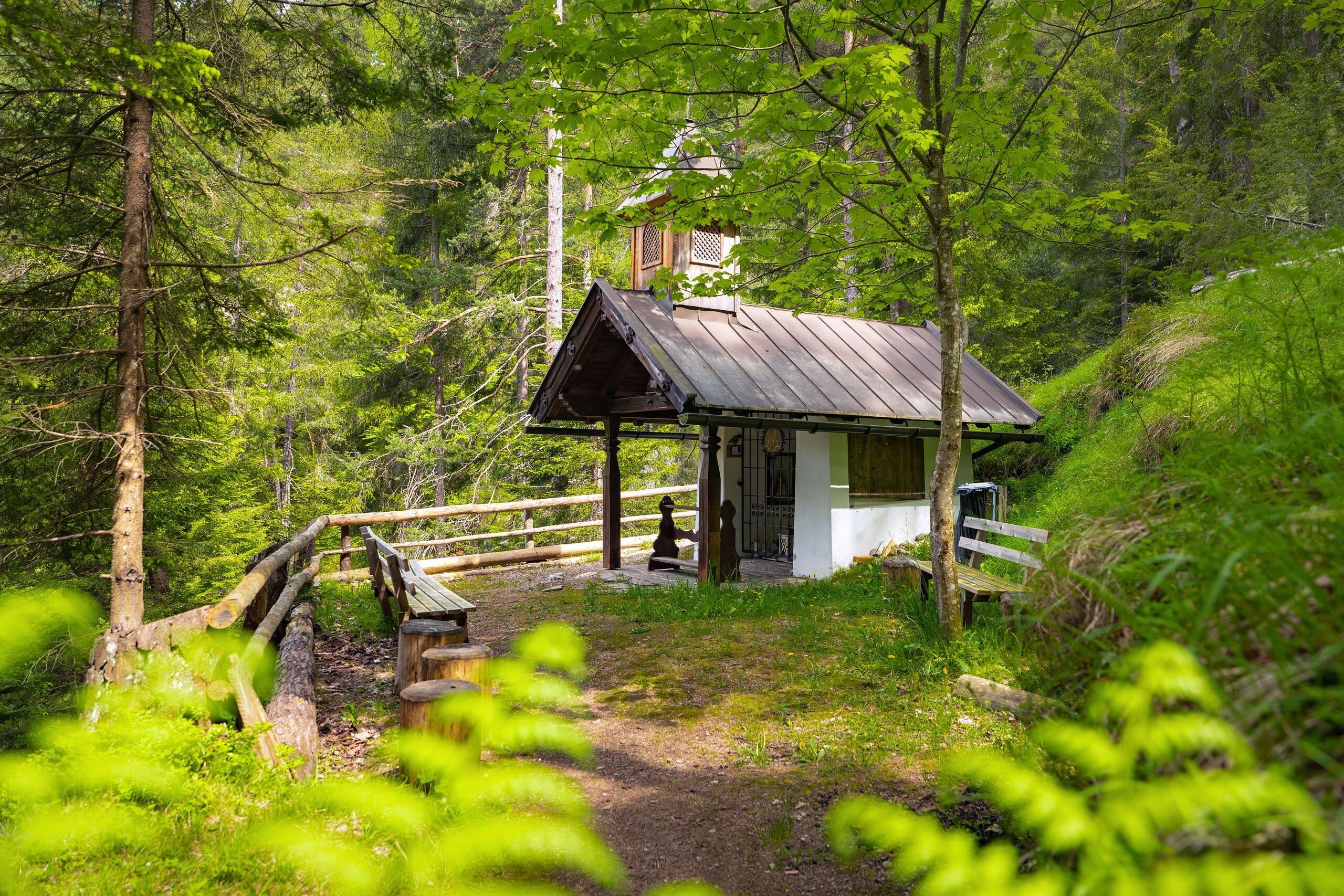
A wayside chapel near Reith bei Seefeld, known as the Absetzkapelle or Osötz Kapelle, on an old path above the Inn valley.
2.8 km away, in Reith bei Seefeld
An Alpine Club hut at about 2,240 m just below the Reither Spitze, the highest refuge on the rim of the Seefeld plateau.
3.5 km away, in Reith bei Seefeld
A small chapel in Reith bei Seefeld, also known as the Nikolauskapelle, one of several wayside chapels around the village.
3.5 km away, in Reith bei Seefeld
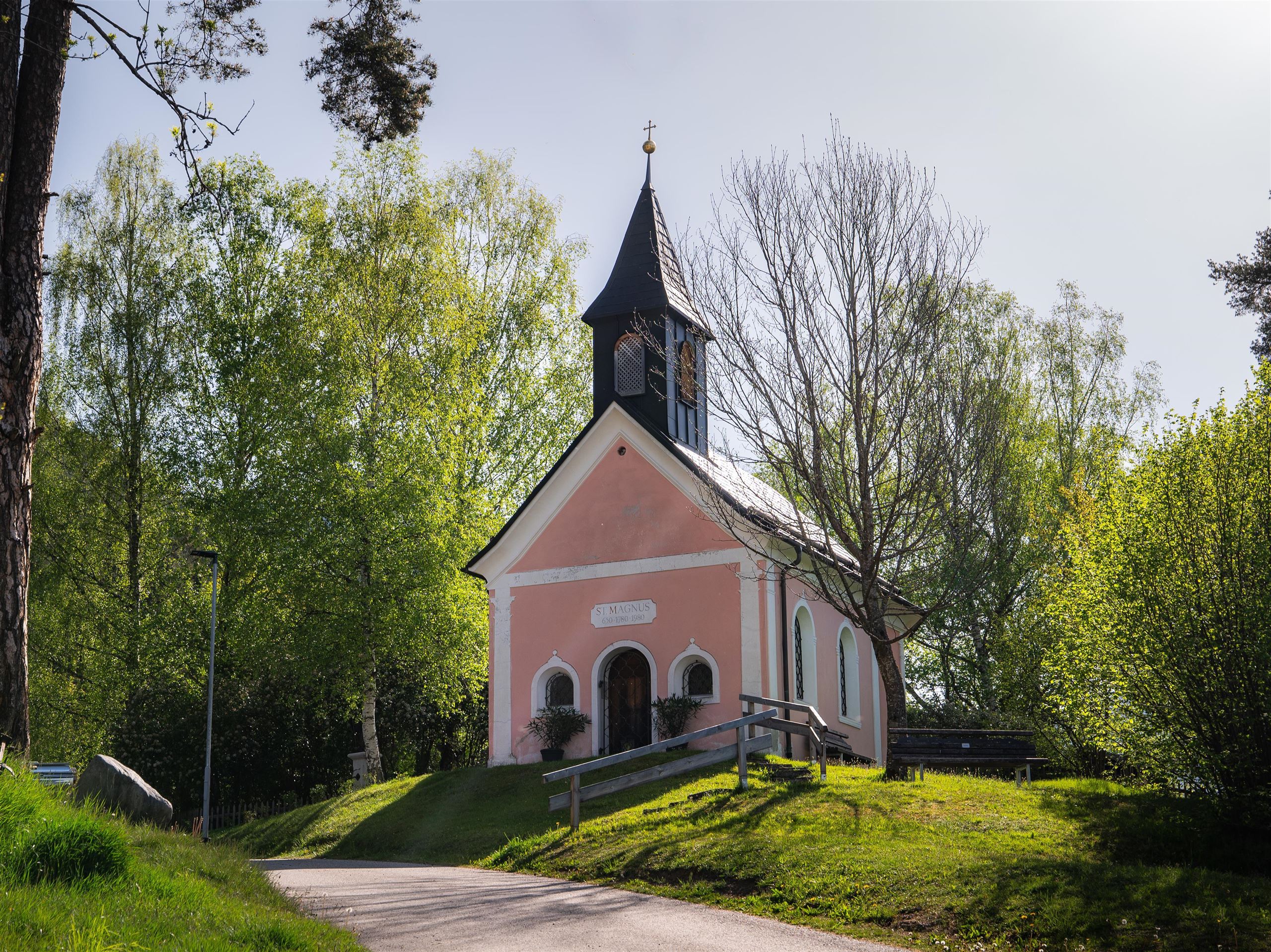
A chapel dedicated to St Magnus in Reith bei Seefeld, a quiet devotional site at 1,130 m on the southern Seefeld plateau.
4 km away, in Reith bei Seefeld
A small Marian chapel known as Frau Häusl near Reith bei Seefeld, a modest shrine on the wooded slope above the Inn valley.
4.4 km away, in Reith bei Seefeld
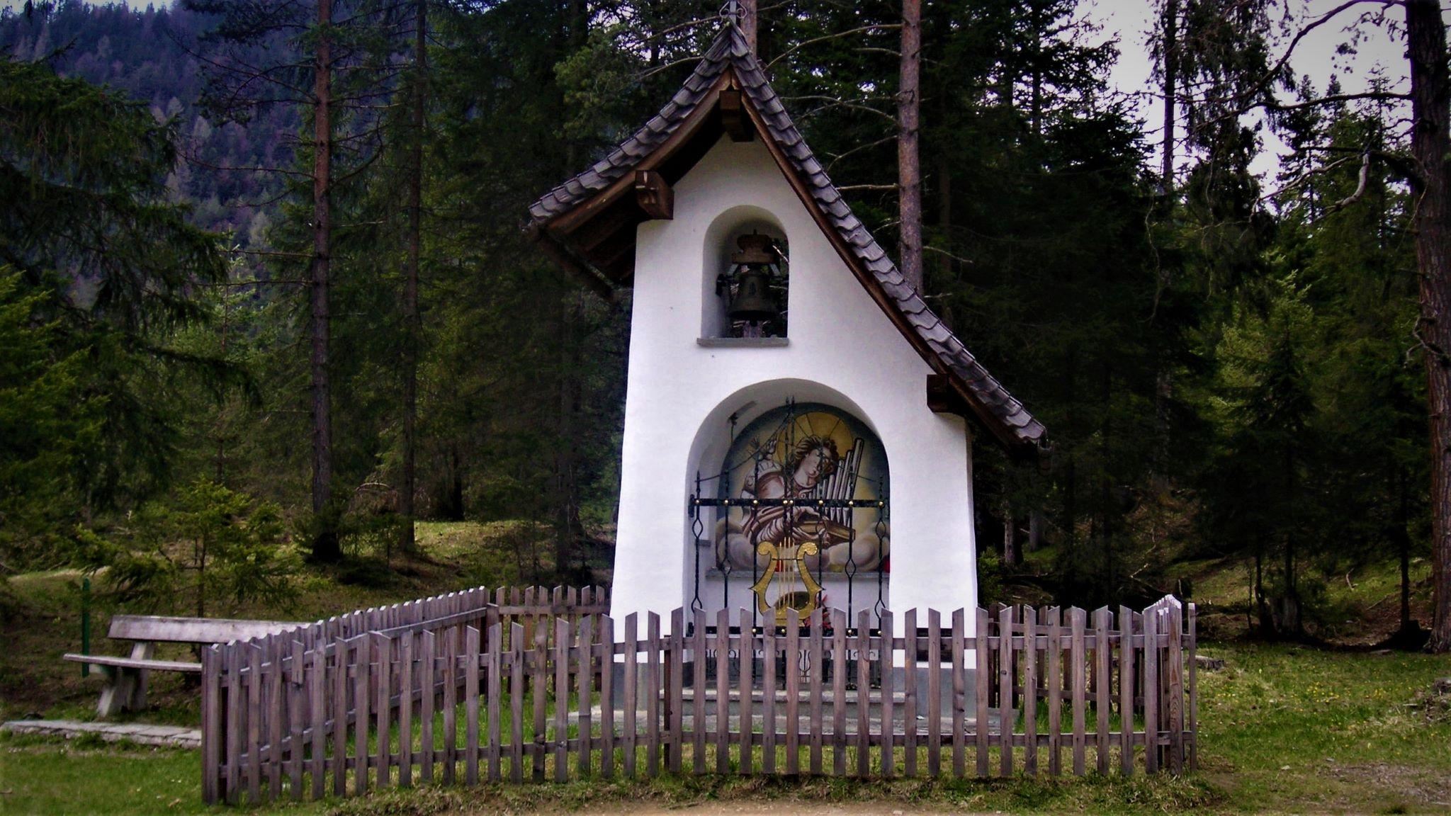
A chapel dedicated to St. Cecilia near Reith bei Seefeld, standing among the meadows on the edge of the village.
4.4 km away, in Reith bei Seefeld
The parish church of Reith bei Seefeld, dedicated to St Nicholas, standing in the village at 1,130 m on the southern edge of the plateau.
4.4 km away, in Reith bei Seefeld
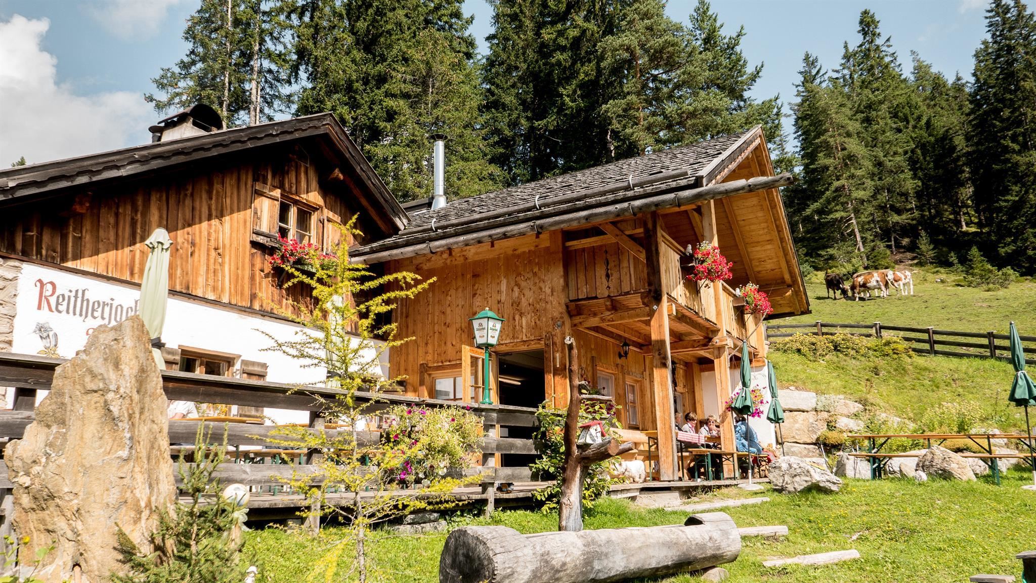
An alm below the Reither Joch above Reith bei Seefeld, an easily reached stop on paths rising from the plateau.
Nothing of this kind in Zirl.
Short, steep heritage path above Zirl to the grotto where Emperor Maximilian I is said to have been trapped while hunting on the Martinswand.
Second stage of the high route, 6.2 km from the Nördlinger Hütte over the Ursprungssattel and the Eppzirler Scharte to the Solsteinhaus.
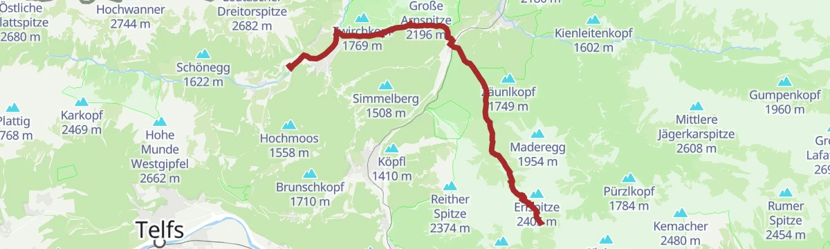
Long, strenuous stage from the Solsteinhaus to the Pfeishütte, crossing the Gleirschjöchl and the Mühlkarscharte high above the Inntal; both endpoints have good public transport links.
An almost level short ride from Reith bei Seefeld past the Kalter See, with barely 50 m of climbing in total.
 Kalter See 859 m
 Informationsbüro Reith 1 123 m
A forest-road climb into the Eppzirl valley, passing the Eppzirltalblick viewpoint on the way up to the alm at 1,455 m.
Ride-and-walk outing of 25.4 km to the Kristenalm, with only 420 m of climb but a long approach from Scharnitz.
A long road ride out of the Inn valley, climbing to the saddle at 2,017 m with the Dortmunder Hütte just below it.
Second stage of the Karwendel Höhenweg, crossing from the Nördlinger Hütte over the Ursprungssattel and Eppzirler Scharte to the Solsteinhaus.
Strenuous 21 km round from Seefeld by the Eppzirler Alm and the Nördlinger Hütte, with 1,520 m of climb and the whole plateau in view.
A forest-road climb above Zirl to the material-lift station below the Solsteinhaus, with the Schöne Aussicht viewpoint on the way up.
A steady forest-road climb from the valley over the Kalvarienberg to the hut at 1,633 m, with the Jausenstation Brunntal partway up.
A valley ride from Scharnitz up to the Zirler Kristenalm at 1,360 m, passing the Kneipp pool near the Scharnitzer Alm.
A 12.5 km walk from Gießenbach up the rough Gießenbachtal to the Eppzirler Alm at 1,459 m, with 435 m of climb.
Demanding 22 km route from Scharnitz through the Gleirschklamm and on into alpine terrain to the Solsteinhaus.
A long road day from the Inn valley onto the plateau at Mösern, continuing through the Leutasch past the Seewaldalm and the Kreithalm.
Round from Zirl through the Ehnbachklamm gorge to the Jausenstation Brunntal, returning over the Kalvarienberg hill.
Adlerweg stage crossing the Eppzirler Scharte from the Solsteinhaus into the Leutasch valley, dropping past the Eppzirler Alm and over the Hoher Sattel to the scattered hamlets of Leutasch.
An 80 km out-and-back from Innsbruck down the Inn past Kranebitten and Hatting, then up onto the Mieminger Plateau.
A 12.4 km walk from Reith into the Schlossbachklamm, with wooden bridges and walkways through the deep gorge and 470 m of climb.
Short but steep Adlerweg stage: the railway brings you from Innsbruck to Hochzirl, then 940 m of climbing past the Jagdhütte Vorberg to the Solsteinhaus.
A village-to-village road tour down the Inn valley from Innsbruck to Telfs, past Kranebitten and the Schleicherplatten climbing crag.
Round above Zirl to the Schöne Aussicht viewpoint and the Hohe Brücke, where the Mittenwald railway spans the Schlossbach gorge.
Long approach on trail AV 213 to the Solsteinhaus, climbing steadily from the Inn valley into the western Karwendel.
Ninety-seven kilometres of near-level cycle path along the Inn, from Mötz past Telfs and Innsbruck down to Rotholz.
Bird-themed education trail from Zirl towards the Ehnbachklamm, with panels on local species along a moderate woodland climb.
Climb from Zirl past the Kirchbergalm to the Neue Magdeburger Hütte, more than 1,000 m up the Nordkette's western end.
A long day on the Tyrolean section of a European cultural route, passing the Porta Claudia and the Kalvarienberg on the way through Seefeld to Reith.
No routes of this kind in Zirl yet.
Summit
via Karwendel Höhenweg - Gehrichtung Reith-Scharnitz (Etappe 3): Solsteinhaus - Pfeishütte
Featured route
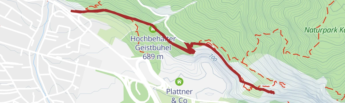
Short, steep heritage path above Zirl to the grotto where Emperor Maximilian I is said to have been trapped while hunting on the Martinswand.
Everything else Tyrol has, in one place
Every route on this page with 3D terrain, GPX navigation and offline maps — including the valleys with no signal.


