
 Via ferrata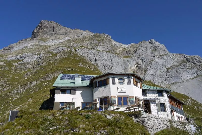

 Viewpoint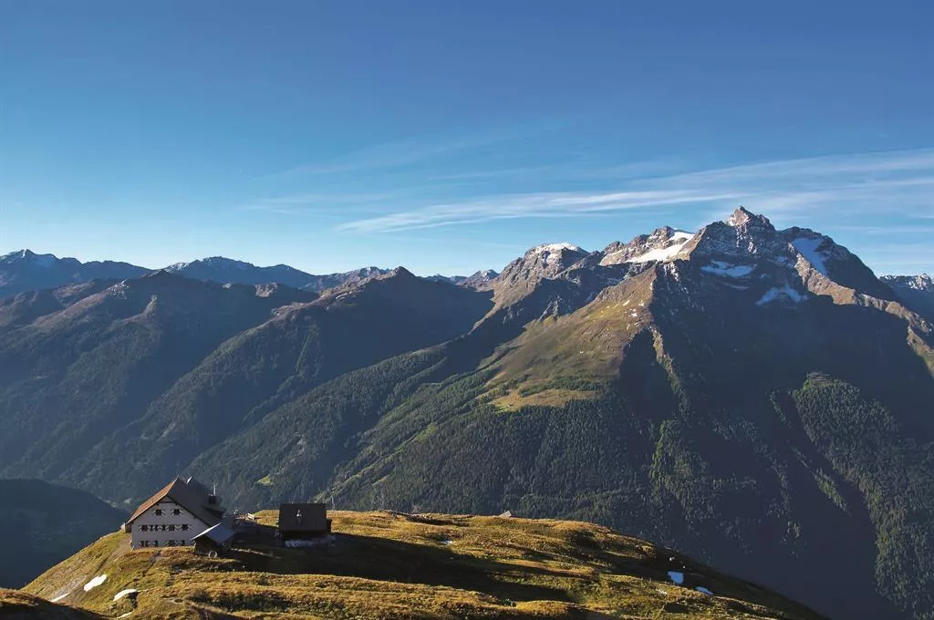













Curated by Lechtal Tourismus
Zams
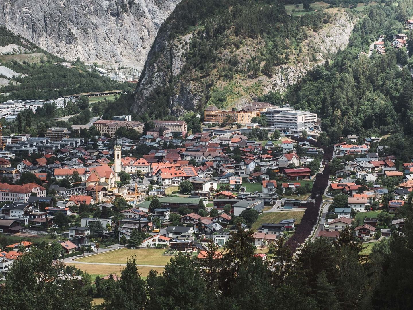
The Oberinntal village adjoining Landeck at the mouth of the Lochbach gorge, with the Memminger and Württemberger huts serving its high Lechtaler Alps backcountry around Madau.
- 4Highlights
- 31Routes
- Featured summit · Glanderspitze
Highlights
11 from neighbouring places
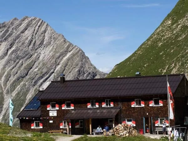
Memminger Hütte 2.242 m
An alpine club refuge at 2,242 m above the Madau valley near Bach, a well-known overnight stop on the E5 crossing of the Lechtal Alps.
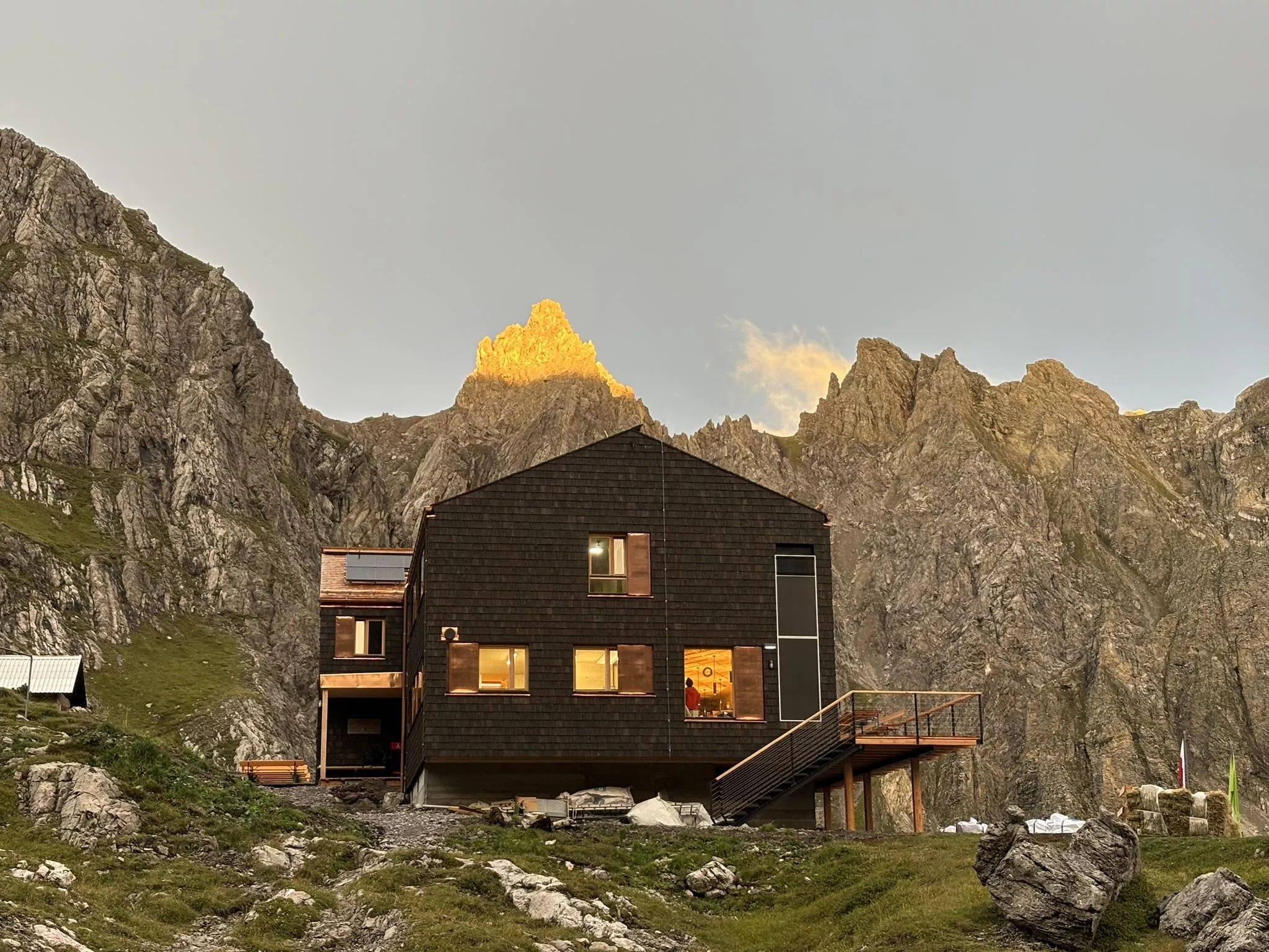
Steinseehütte 2.061 m
A refuge at 2,061 m near the Steinsee lake in the Lechtal Alps, a base for the surrounding climbing routes, reached from the Zams side.
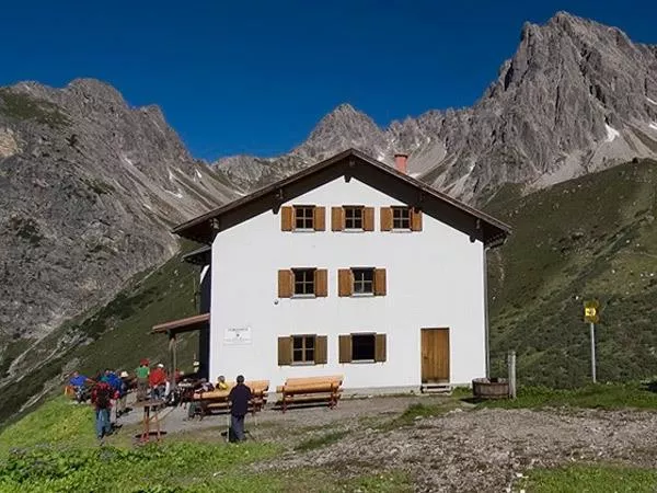
Württemberger Haus 2.220 m
A refuge at 2,220 m in the central Lechtal Alps above Zams, a quiet overnight stop on the high-route crossings of the range.
Steinsee Klettersteig
A via ferrata near the Steinsee and the Steinseehütte in the Lechtal Alps above Zams, a protected route in high lake scenery.
Augsburger Hütte 2.298 m
4.9 km away, in Grins
An alpine club refuge at 2,298 m above Grins, the base for the Parseierspitze, at 3,036 m the highest summit of the Lechtal Alps.
Unteres Kappali in Quadratsch
6.9 km away, in Grins
The lower of two small chapels in Quadratsch, a hamlet above Pians at the mouth of the Paznaun valley; 'Kappali' is Paznaun dialect for chapel.
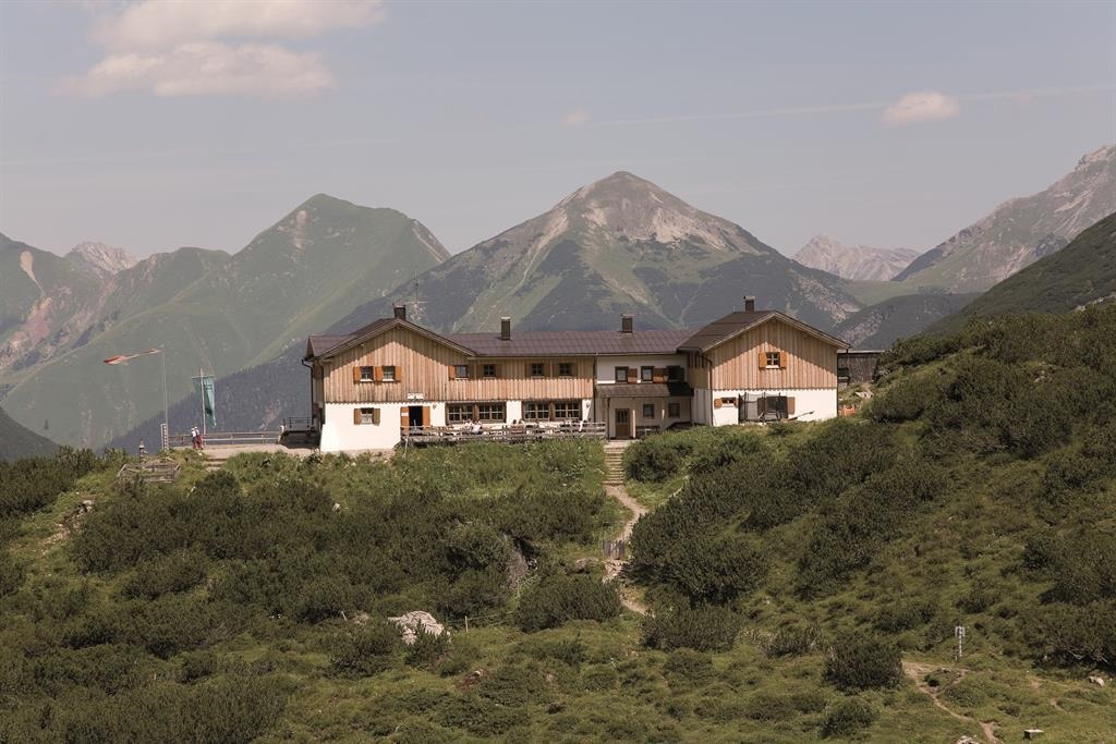
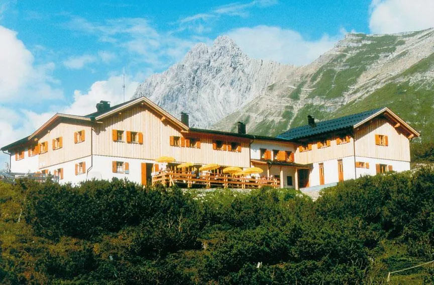
Hanauer Hütte
7 km away, in Imst
An alpine club hut in the Lechtal Alps above the Angerletal, a base for walks and climbs among the Dremel and Parzinn peaks.
Hanauer Hütte 1.922 m
7 km away, in Imst
An alpine club refuge at 1,922 m above the Pfafflar area, a base for the rock summits and lake basins of the eastern Lechtal Alps.
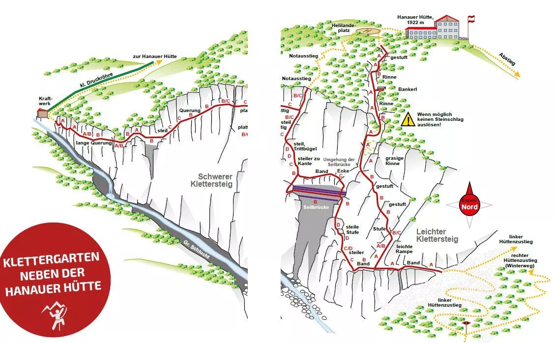
Hanauer Klettersteig 1.770 m
7 km away, in Imst
A via ferrata at about 1,770 m near the Hanauer Hütte above Boden in the Bschlabertal, a protected route in the Lechtal Alps.
Klettergarten Hanauer Hütte
7 km away, in Imst
A climbing garden beside the Hanauer Hütte in the Lechtal Alps above Pfafflar, with bolted routes a short walk from the hut.
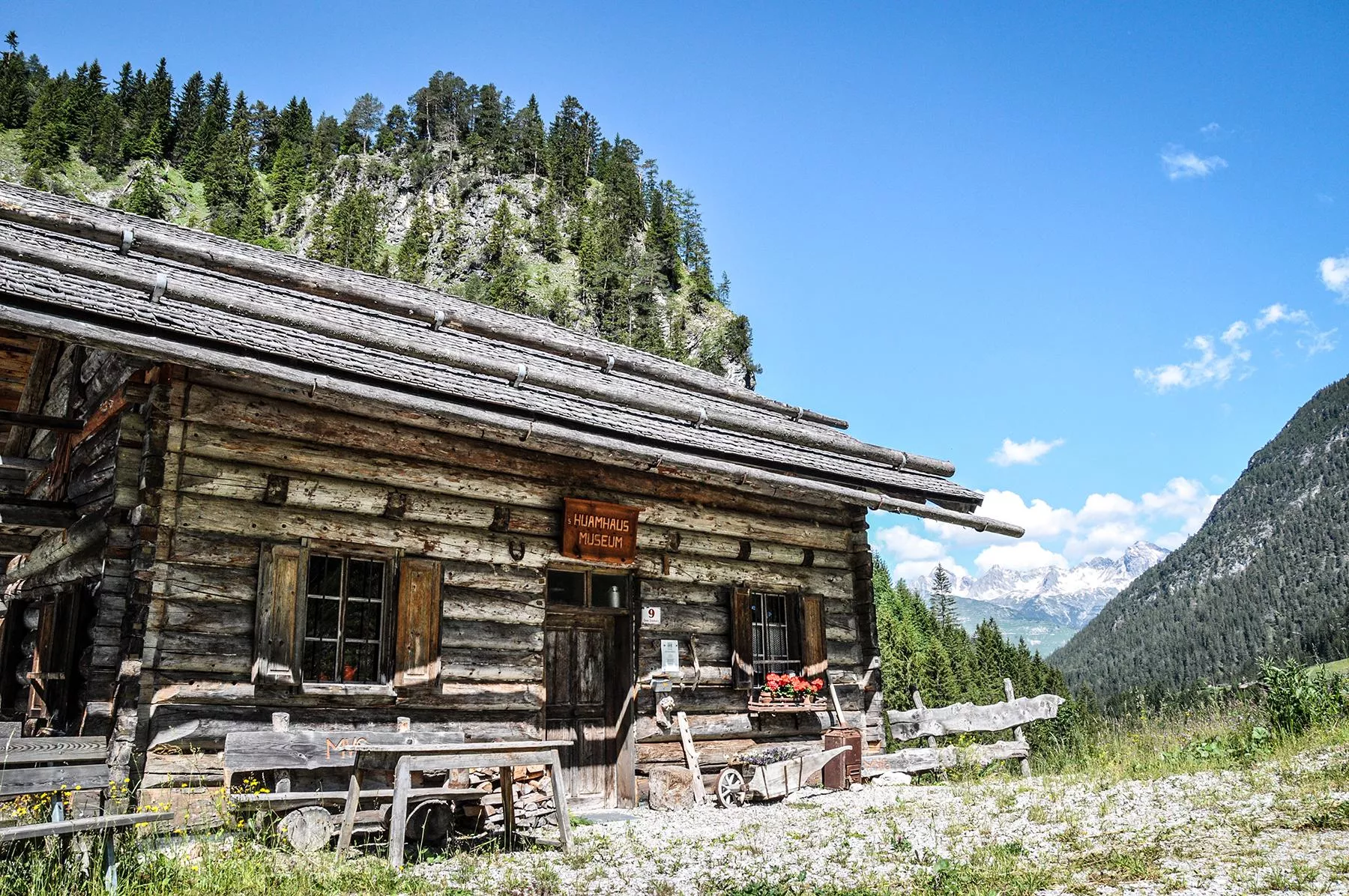
Heimatmuseum Gramais " HUAMHAUS"
7.9 km away, in Gramais
The Huamhaus local museum in Gramais, showing everyday objects from village life in one of Austria's smallest municipalities.
Kraftplatz "Kälberwiese"
8.1 km away, in Gramais
A designated resting place on the Kälberwiese meadows near Gramais, one of the Lechtal's marked quiet spots with benches and valley views.
Ansbacherhütte 2.376 m
10.9 km away, in Flirsch
A refuge at 2,376 m on the Lechtaler Höhenweg high route, reached from the Stanzertal side near Grins and serving regional dishes.
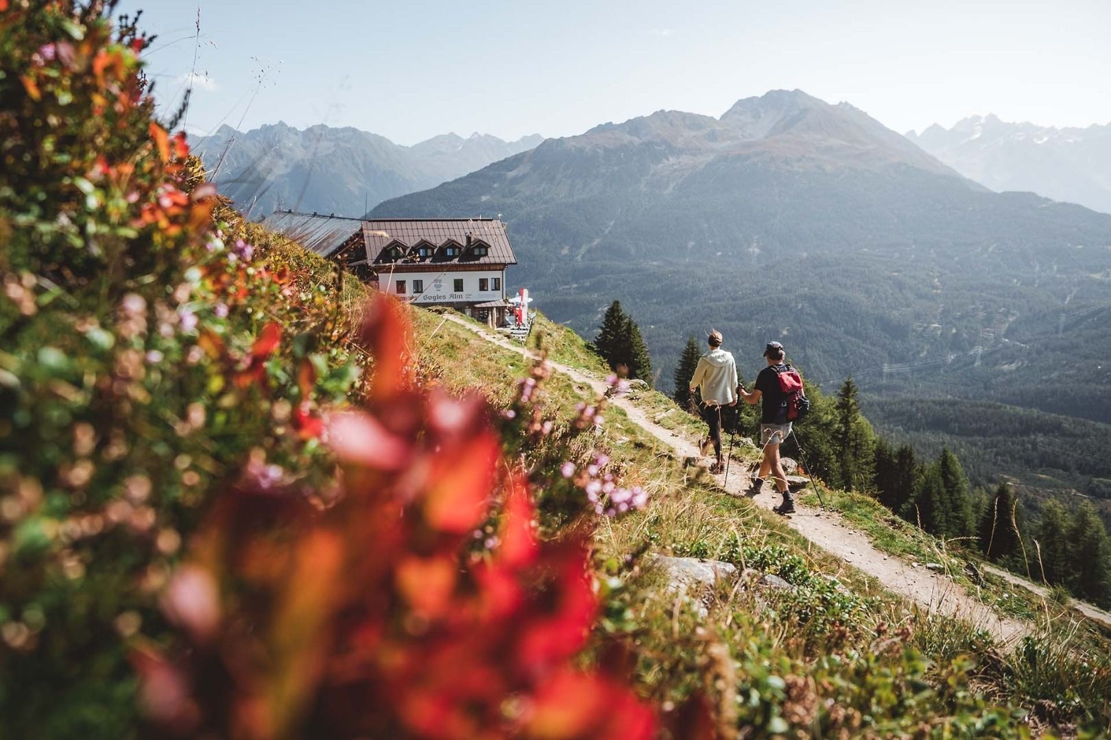
Gogles Alm (2.017m)
10.9 km away, in Fließ
An alpine pasture at 2,017 m on the Venet ridge, reached on foot from the Piller saddle.
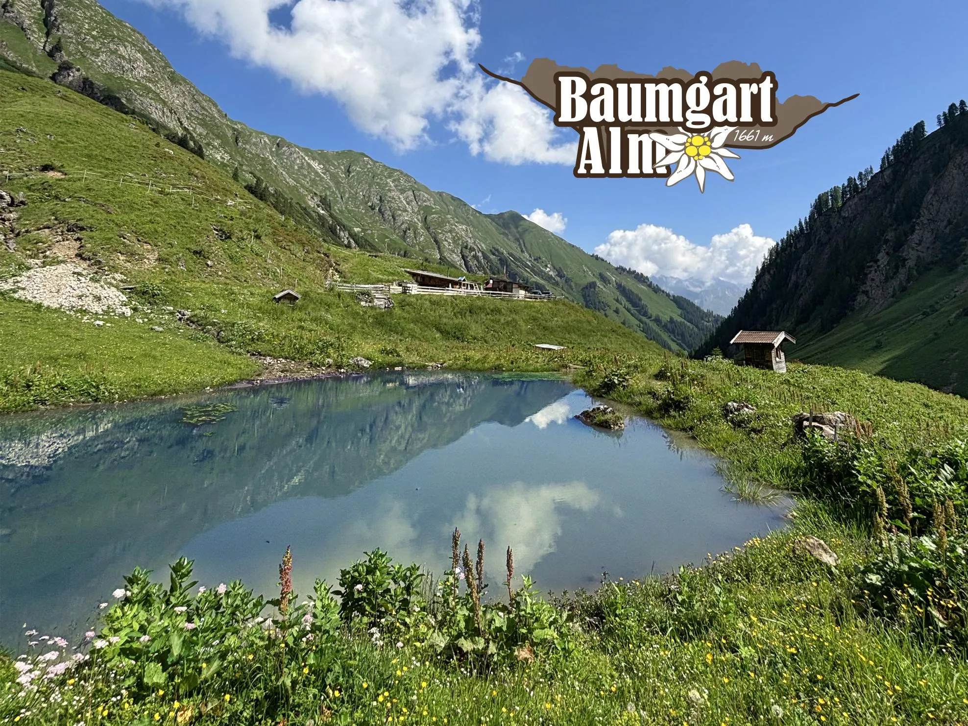
Baumgartalm 1.661 m
11.7 km away, in Bach
An alpine pasture hut at 1,661 m above Bach, serving regional food on the walking routes into the Lechtal Alps south of the valley.
Nothing of this kind in Zams.
Routes
Abschnitt 2: Kronburg - Mils
The gentle second stage of the Starkenberger Panoramaweg, from the Kronburg pilgrimage site down the Inn valley to Mils with barely any climbing.
- 6.6 km
- Distance
- 71 m
- Ascent
- 1 h 55 min
- Duration
- 2
- Check-ins
Württemberger Haus - Hanauer Hütte
A hut link from the Württemberger Haus over the Gufelseejöchl to the Hanauer Hütte, passing the Gufelsee, Bittrichsee and the Parzinn lakes on a scenic middle stage.
- 9.5 km
- Distance
- 719 m
- Ascent
- 5 h 16 min
- Duration
- 29
- Check-ins
 Hanauer Hütte 1 922 m
- Württemberger Haus 2 220 m
 Gufelsee 2 282 m
 Gufelseejöchl 2 371 m
- Bittrichsee 2 229 m
- Unterer Parzinnsee 2 162 m
- +2
Steinsee Hütte - Memminger Hütte
A demanding ridge stage from the Steinseehütte to the Memminger Hütte, taking in the Großbergspitze and Großbergkopf with cable-secured passages and the Seescharte near the finish.
- 13.5 km
- Distance
- 1 233 m
- Ascent
- 7 h 24 min
- Duration
- 31
- Check-ins
 Großbergkopf 2 612 m
- Großbergspitze 2 657 m
- Memminger Hütte 2 242 m
- Württemberger Haus 2 220 m
- Steinseehütte 2 069 m
- Mittlerer Seewisee 2 425 m
- +7
Via Claudia Augusta
A long ride over the Fernpass at 1,215 m, passing the Weißensee and the lakes at Fernstein on the way down.
- 48.5 km
- Distance
- 685 m
- Ascent
- 4 h 50 min
- Duration
- 29
- Check-ins
Piller Runde
A long road loop over the Pillerhöhe, dropping to Prutz in the Inn valley and climbing again to Fiss, with over 2,000 m of ascent.
- 83.9 km
- Distance
- 2 090 m
- Ascent
- 9 h 25 min
- Duration
- 33
- Check-ins
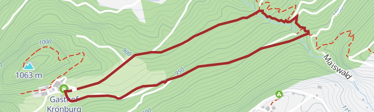
Kronburger Tobl
A short loop through the wooded Tobl ravine below the Kronburg ruin, an easy nature round with the Gasthof Kronburg for refreshment.
- 2.5 km
- Distance
- 122 m
- Ascent
- 58 min
- Duration
- 2
- Check-ins
Augsburger Hütte - Memminger Hütte
Airy Spiehlerweg link between two Lechtal refuges, topping the 2,945 m Gatschkopf before threading the Patrolscharte and Wegscharte down past the Seewisee lakes; scree and lingering snowfields call for sure feet.
- 6.9 km
- Distance
- 768 m
- Ascent
- 4 h 44 min
- Duration
- 26
- Check-ins
- Gatschkopf 2 945 m
- Augsburger Hütte 2 289 m
- Memminger Hütte 2 242 m
- Mittlerer Seewisee 2 425 m
- Wegscharte 2 585 m
- Patrolscharte 2 846 m
- +1
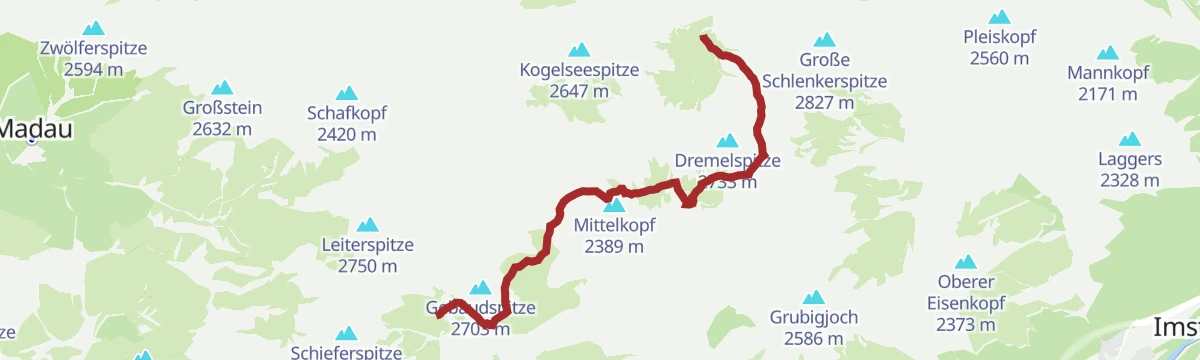
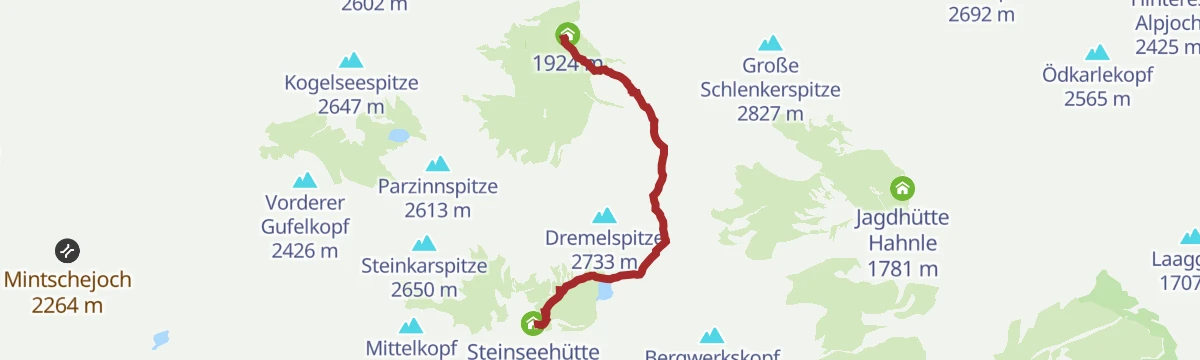
Adlerweg-Etappe 20: Hanauer Hütte – Württemberger Haus
From the Hanauer Hütte over the Dremelscharte and Gebäudjöchl to the Württemberger Haus, high above the Steinsee; the Rosskarscharte can call for hands as well as feet.
- 11.0 km
- Distance
- 1 250 m
- Ascent
- 6 h 56 min
- Duration
- 26
- Check-ins
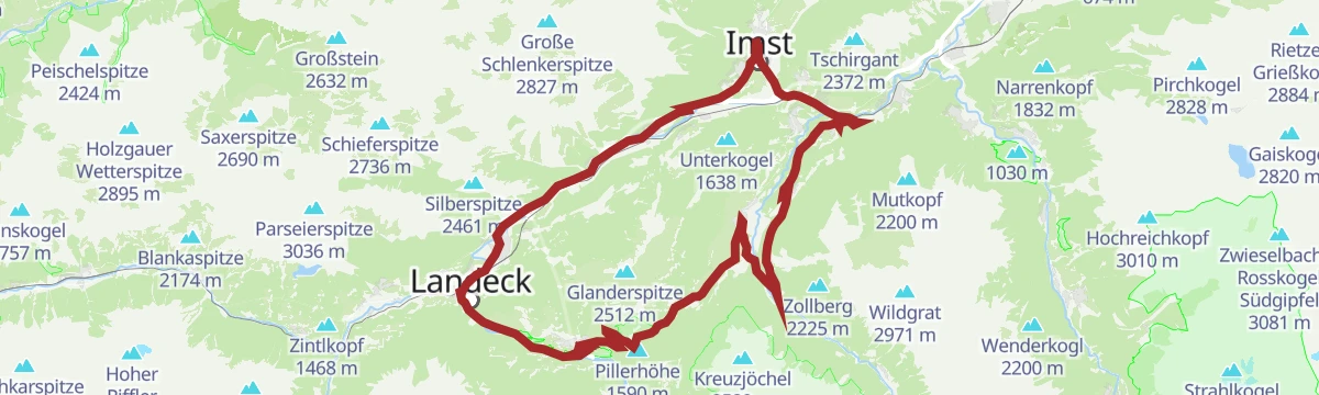
Gravelrunde Venetmassiv
A gravel loop around the Venet massif crossing the Pillerhöhe at 1,559 m, with the Gachenblick and the Gasthof Kronburg on the way back.
- 56.6 km
- Distance
- 1 203 m
- Ascent
- 6 h 11 min
- Duration
- 20
- Check-ins
- Pillerhöhe 1 590 m
- Pillerhöhe 1 559 m
- Gachenblick 1 576 m
- Gasthof Kronburg 938 m
- Info-Point Pitztal 750 m
- Zweiter Weiher 920 m
- +2
Mieminger Plateau Runde
A near-100 km road round out of the Inn valley, climbing to the terrace villages above Mieming and past Gasthaus Arzkasten.
- 97.1 km
- Distance
- 1 138 m
- Ascent
- 9 h 41 min
- Duration
- 12
- Check-ins
Kronburgweg
A short climb to the Kronburg, a medieval castle ruin above the Inn with a pilgrimage church and the Gasthof Kronburg alongside.
- 3.6 km
- Distance
- 248 m
- Ascent
- 1 h 18 min
- Duration
- 2
- Check-ins
Memminger Hütte - Württemberger Haus
From the Memminger Hütte past the Seewisee lakes and through the Seescharte, then along the crest over Großbergkopf and Großbergspitze — the route's highest point — to the Württemberger Haus in its rocky cirque.
- 7.0 km
- Distance
- 629 m
- Ascent
- 3 h 59 min
- Duration
- 24
- Check-ins
- Großbergkopf 2 612 m
- Großbergspitze 2 657 m
- Memminger Hütte 2 242 m
- Württemberger Haus 2 220 m
- Mittlerer Seewisee 2 425 m
- Seescharte 2 599 m
- +2
Memminger Hütte - Ansbacher Hütte
A stage of notches and ravines — down into the Parseiertal, back up through the Langkar to the Grießlscharte, over the Winterjöchl and Kopfscharte and finally south to the Ansbacher Hütte.
- 10.0 km
- Distance
- 981 m
- Ascent
- 5 h 49 min
- Duration
- 12
- Check-ins
Pillerrunde
A big loop through the Inn valley and the Pitztal mouth, climbing over the Pillerhöhe pass before the run back to Imst.
- 65.8 km
- Distance
- 1 587 m
- Ascent
- 7 h 20 min
- Duration
- 11
- Check-ins
Obsauers/Kronburg
An easy ramble from Obsauers across sunny terraces to the Kronburg, linking old pilgrim paths with views over the Inn valley and a stop at the Gasthof below the ruin.
- 4.8 km
- Distance
- 143 m
- Ascent
- 1 h 26 min
- Duration
- 2
- Check-ins
Memminger Hütte - Augsburger Hütte
A serious alpine link from the Memminger Hütte to the Augsburger Hütte, crossing the Wegscharte, Parseierjoch and Patrolscharte beneath the Lechtal's highest summits.
- 6.2 km
- Distance
- 756 m
- Ascent
- 4 h 21 min
- Duration
- 23
- Check-ins
- Augsburger Hütte 2 289 m
- Memminger Hütte 2 242 m
- Mittlerer Seewisee 2 425 m
- Wegscharte 2 585 m
- Patrolscharte 2 846 m
- Parseierjoch 2 560 m
Bach - Memminger Hütte
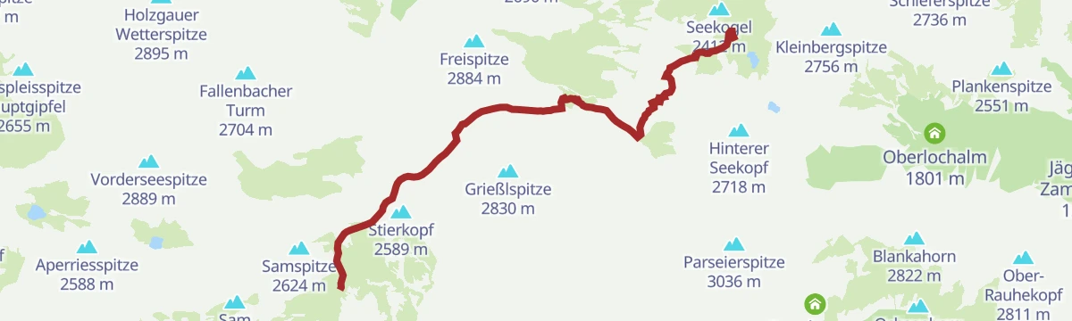
Long approach from Bach up the Madautal to the Memminger Hütte, the Alpine Club hut at 2,242 m below the Seekogel on the E5 long-distance route.
- 13.6 km
- Distance
- 1 229 m
- Ascent
- 5 h 31 min
- Duration
- 8
- Check-ins
Hoch über Landeck (Tobadill)
A long circuit above the Inn valley between Landeck-Zams and Schönwies, starting from the tourist office in Tirol West.
- 61.1 km
- Distance
- 577 m
- Ascent
- 5 h 58 min
- Duration
- 4
- Check-ins
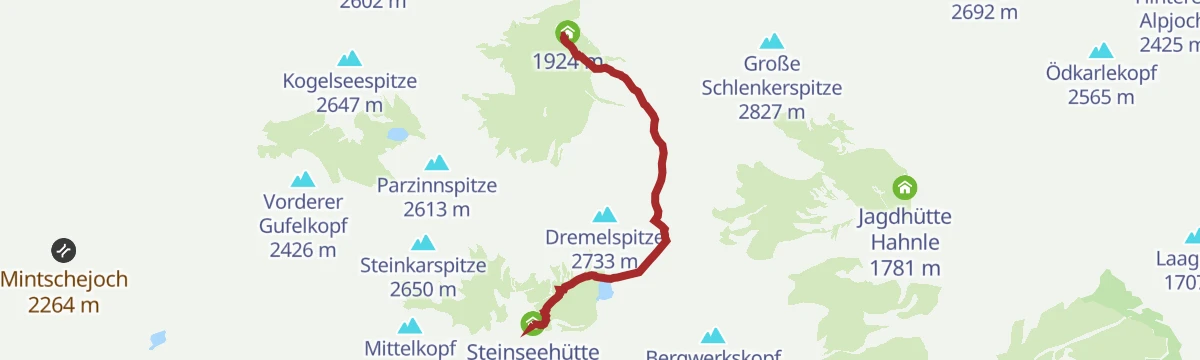
Steinseehütte - Hanauer Hütte
A short but earnest hut link from the Steinseehütte over the cable-secured Vordere Dremelscharte to the Hanauer Hütte, with the Dremelspitze as an optional side summit from the notch.
- 3.8 km
- Distance
- 389 m
- Ascent
- 2 h 38 min
- Duration
- 19
- Check-ins
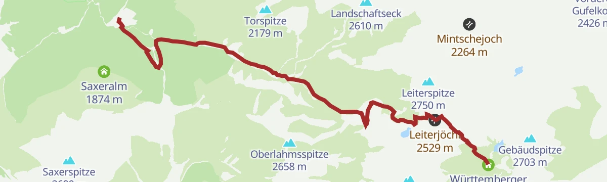
Bach/Madau übers Röttal zum Württemberger Haus
The approach from Bach/Madau through the Röttal and over the Leiterjöchl to the Württemberger Haus, a long alpine ascent into the heart of the Lechtaler Alpen.
- 10.3 km
- Distance
- 1 269 m
- Ascent
- 5 h 49 min
- Duration
- 8
- Check-ins
Gravelrunde Falterschein
A gravel-surfaced round on the tracks above Schönwies, with the Anreit lookout on the climb and the Rifenalbahn base station on the way back.
- 20.6 km
- Distance
- 575 m
- Ascent
- 2 h 22 min
- Duration
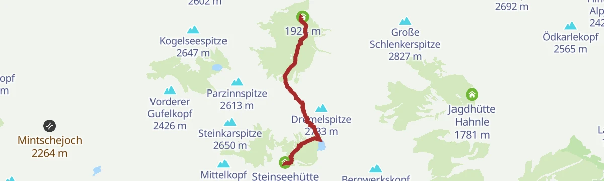
Hanauer Hütte - Dremelscharte -Steinseehütte
A 4.2 km crossing from the Hanauer Hütte over the Hintere Dremelscharte to the Steinseehütte above the Steinsee, 572 m of ascent.
- 4.2 km
- Distance
- 572 m
- Ascent
- 3 h 6 min
- Duration
- 19
- Check-ins
Gramais - Württemberger Haus
Rugged climb from Gramais past the Bittrichsee and over the Bitterscharte to the Württemberger Haus at 2,220 m, the oldest hut of the DAV Stuttgart section.
- 10.0 km
- Distance
- 1 276 m
- Ascent
- 5 h 51 min
- Duration
- 8
- Check-ins
- Württemberger Haus 2 220 m
- Bittrichsee 2 229 m
- Bitterscharte 2 535 m
- Giflhuette 2 094 m
Hanauer Hütte - Steinsee Hütte
A hut-to-hut crossing of the Hintere Dremelscharte in the Lechtal Alps, dropping past the Steinsee on the far side of the notch.
- 4.3 km
- Distance
- 580 m
- Ascent
- 3 h 8 min
- Duration
- 19
- Check-ins
Jakobsweg
Stage 11 of the Way of St James through Tirol, 27.6 km from Roppen down the Inn valley to Zams, passing the Gasthof Kronburg.
- 27.6 km
- Distance
- 975 m
- Ascent
- 8 h 49 min
- Duration
- 7
- Check-ins
Steinseehütte
The valley approach to the Steinseehütte, climbing past the Vorderstark hut and the Alfuz alps into a cirque of rock peaks around the Steinsee.
- 4.8 km
- Distance
- 816 m
- Ascent
- 3 h 11 min
- Duration
- 13
- Check-ins
Württemberger Haus - Steinseehütte
From the Württemberger Haus over the Gufelgrasjoch and the cable-secured Roßkarscharte to the Steinseehütte, a south-side traverse ringed by rock towers popular with climbers.
- 6.7 km
- Distance
- 463 m
- Ascent
- 3 h 24 min
- Duration
- 13
- Check-ins
Ansbacher Hütte - Memminger Hütte
Hut-to-hut stage crossing the Kopfscharte, Winterjöchl and Grießlscharte, dropping into the Parseiertal before the final pull up to the Memminger Hütte, one of the largest refuges in the Lechtaler Alpen.
- 10.0 km
- Distance
- 861 m
- Ascent
- 5 h 44 min
- Duration
- 12
- Check-ins
Abschnitt 1 : Schloss Landeck - Kronburg
Opening stage of the Starkenberger Panoramaweg, running from Schloss Landeck through woods and meadows past a chain of small ponds to the pilgrimage site of Kronburg and its Gasthof.
- 7.5 km
- Distance
- 236 m
- Ascent
- 2 h 14 min
- Duration
- 6
- Check-ins
- Gasthof Kronburg 938 m
- Rückhaltebecken Urtl 834 m
- Zweiter Weiher 920 m
- Erster Weiher 912 m
Abschnitt 2a: Kronburg – Imsterberg
The 2a branch of the Starkenberger Panoramaweg, contouring from the Kronburg above the Inn to Imsterberg on wooded terraces and farm lanes.
- 11.2 km
- Distance
- 435 m
- Ascent
- 3 h 45 min
- Duration
- 2
- Check-ins
Anna Stainer-Knittel Gedenkweg
A memorial trail with nine stations on the life of Anna Stainer-Knittel, the Lechtal painter behind the Geierwally legend, passing the Berggasthaus Hermine and the Saxeralm.
- 13.6 km
- Distance
- 806 m
- Ascent
- 5 h 29 min
- Duration
- 2
- Check-ins
No routes of this kind in Zams yet.
The region's own picks

Featured route
Abschnitt 2: Kronburg - Mils
The gentle second stage of the Starkenberger Panoramaweg, from the Kronburg pilgrimage site down the Inn valley to Mils with barely any climbing.
Planning a trip to Zams?
Everything else Tyrol has, in one place


Take Zams with you into the mountains
Every route on this page with 3D terrain, GPX navigation and offline maps — including the valleys with no signal.
Data sources
- Official website: lechtal.at ↗
- Routes and highlights: Lechtal Tourismus, Imst Tourismus, Serfaus-Fiss-Ladis, TVB Paznaun-Ischgl, Tourismusverband Pitztal
- Published as open data by the tourist boards named above.
- Region summary generated from the board's own material.
