
 Mountain hut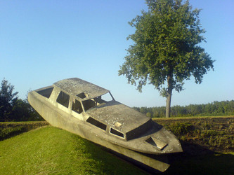






Curated by Schladming-Dachstein Tourismus
Wörschach
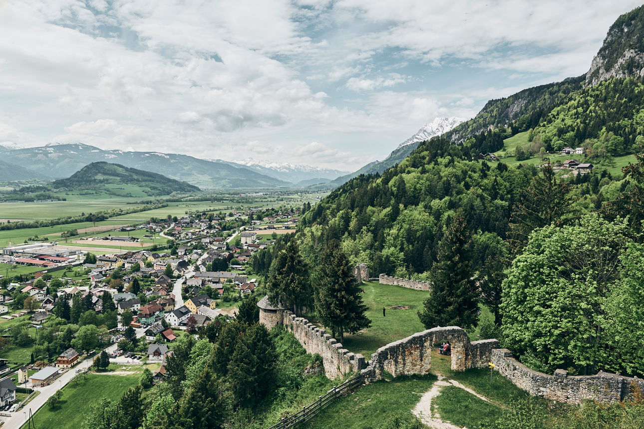
On the northern edge of the mid-Ennstal wetland meadows, with the Wörschachklamm gorge and the crag-top ruin of Wolkenstein in the foothills of the Totes Gebirge.
- 1Highlights
- 11Routes
- Featured summit · Wörschacher Raidling
Highlights
7 from neighbouring places
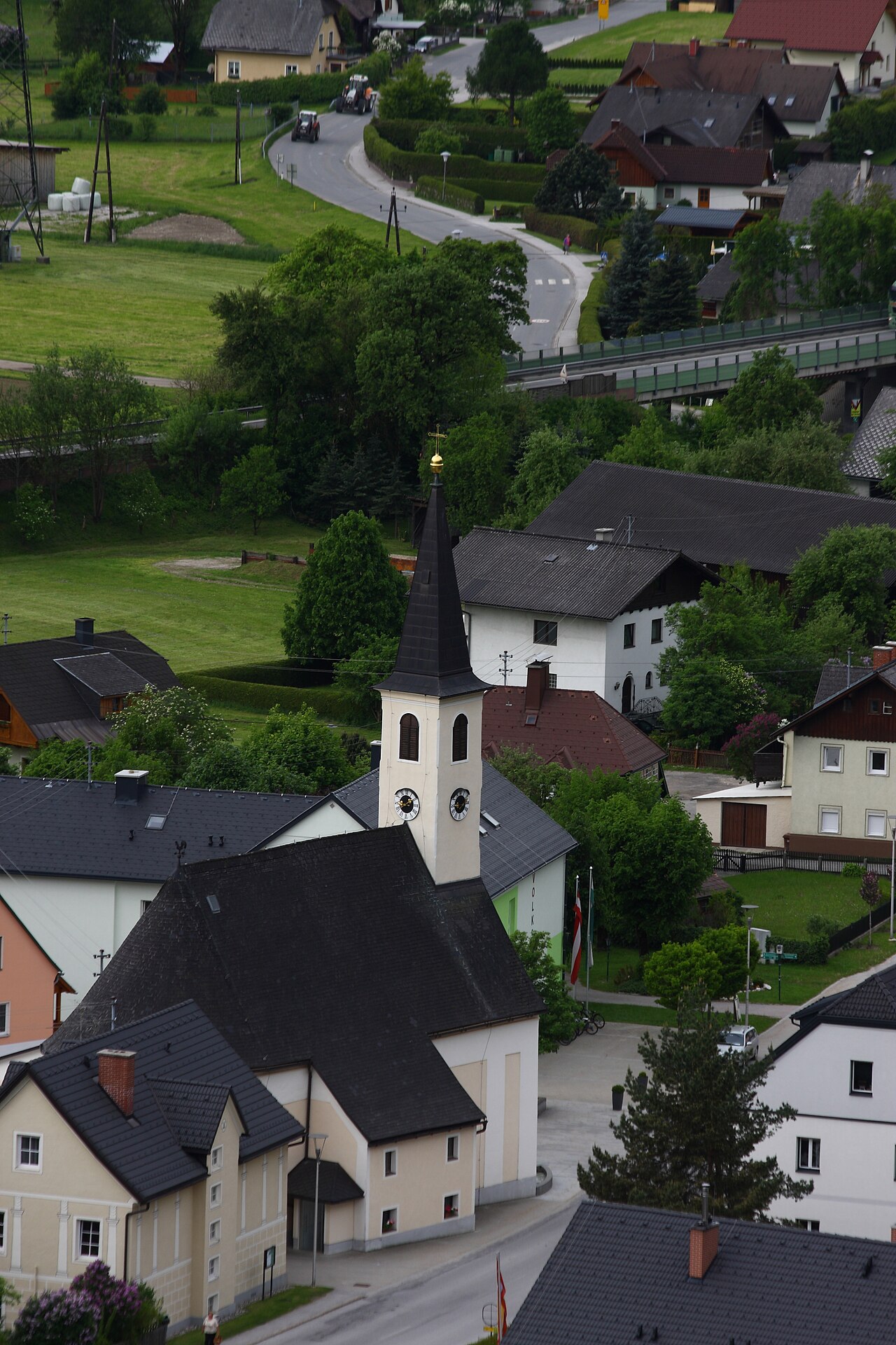
Pfarrkirche Wörschach
The parish church of Wörschach (651 m) in the Ennstal, the village landmark near the entrance to the Wörschachklamm gorge.
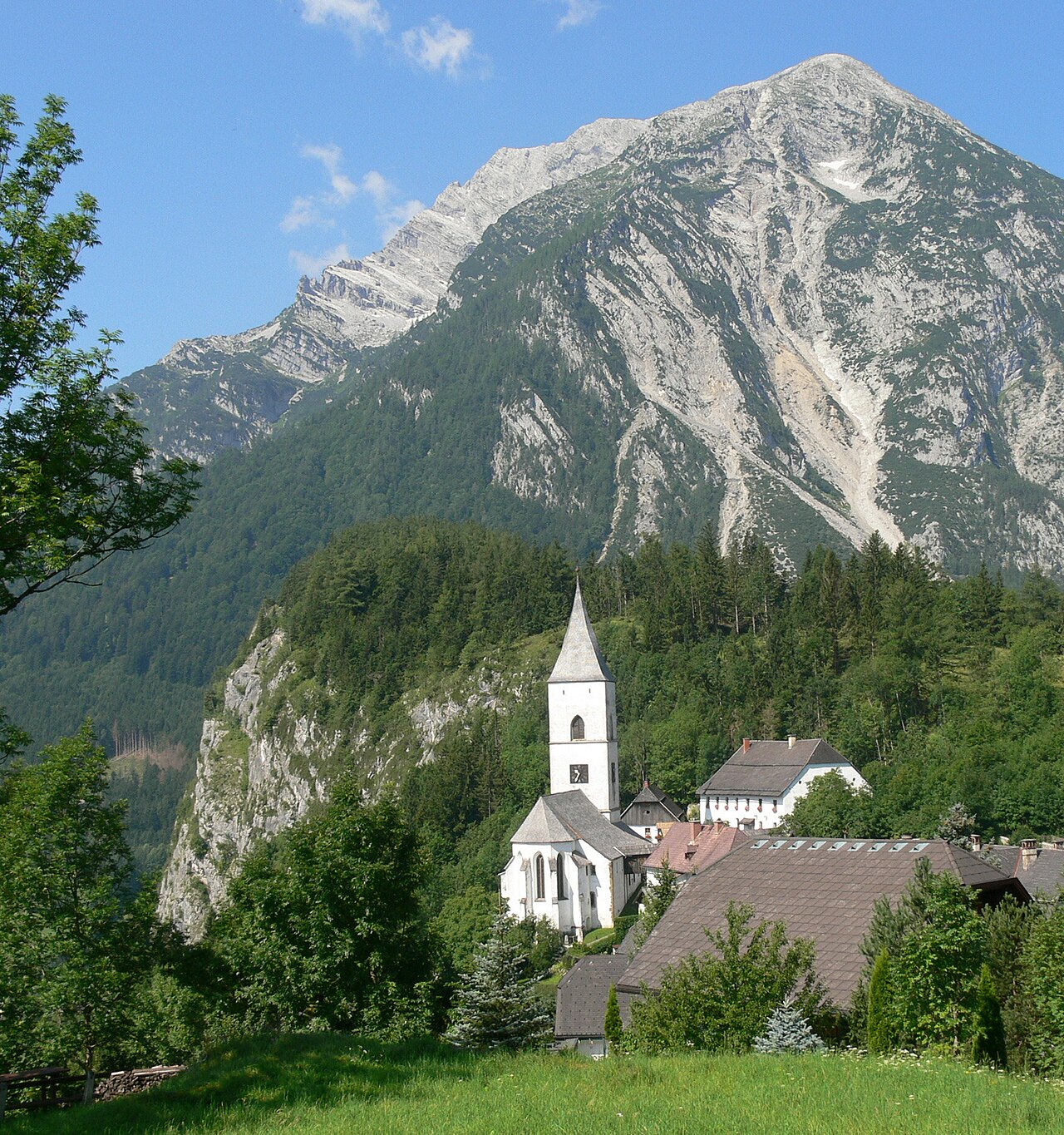
Pfarrkirche Pürgg
8.8 km away, in Stainach-Pürgg
The parish church of Pürgg above the Ennstal, a building of Romanesque origin in a village known for its medieval sacred art.
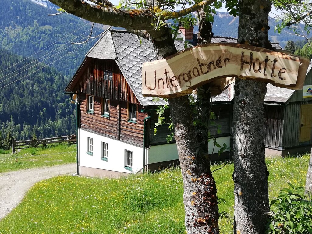
Untergrabner Hütte
10.1 km away, in Aigen im Ennstal
A farm-run hut above Aigen im Ennstal, rented through the farm-holiday network for quiet stays overlooking the Enns valley.
Skulpturenpark
9.8 km away, in Irdning-Donnersbachtal
A sculpture park near Irdning in the Ennstal, showing stone works from the Grimming sculpture symposium in an open-air setting.
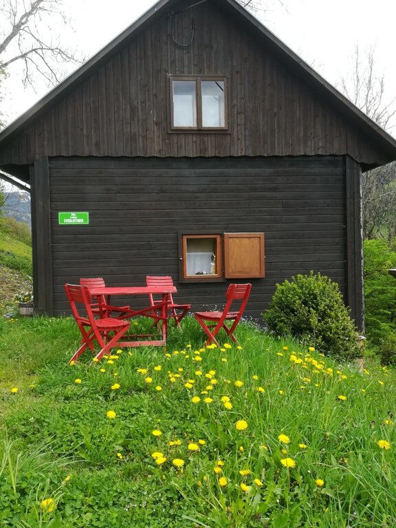
Ewisleitner Hütte
12.2 km away, in Irdning-Donnersbachtal
A farm hut above the Donnersbach valley in Irdning-Donnersbachtal, rented out for self-catered mountain stays.
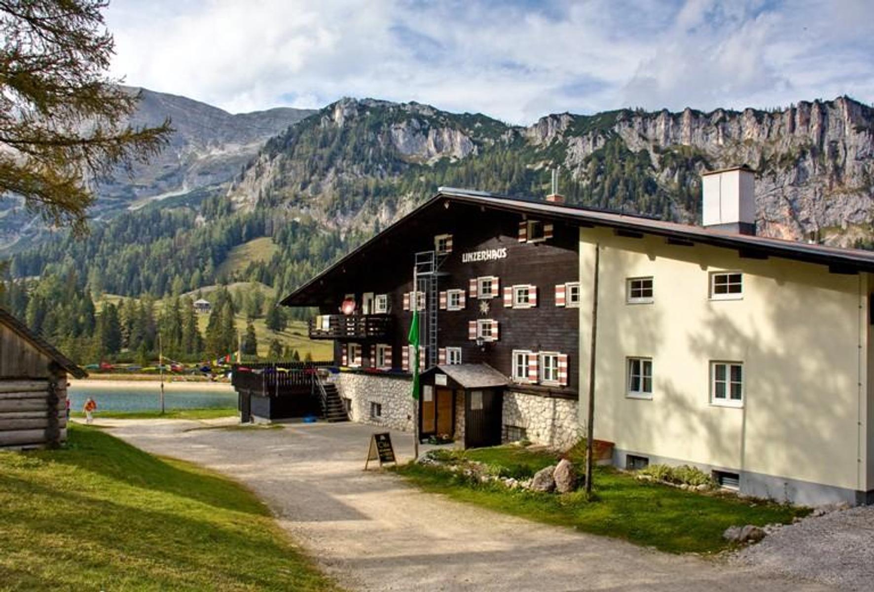
ÖAV-Berggasthaus Linzerhaus
12.5 km away, in Spital am Pyhrn
The Linzerhaus of the Austrian Alpine Club at 1,400 m on the Wurzeralm, a base for walks in the Warscheneck group.
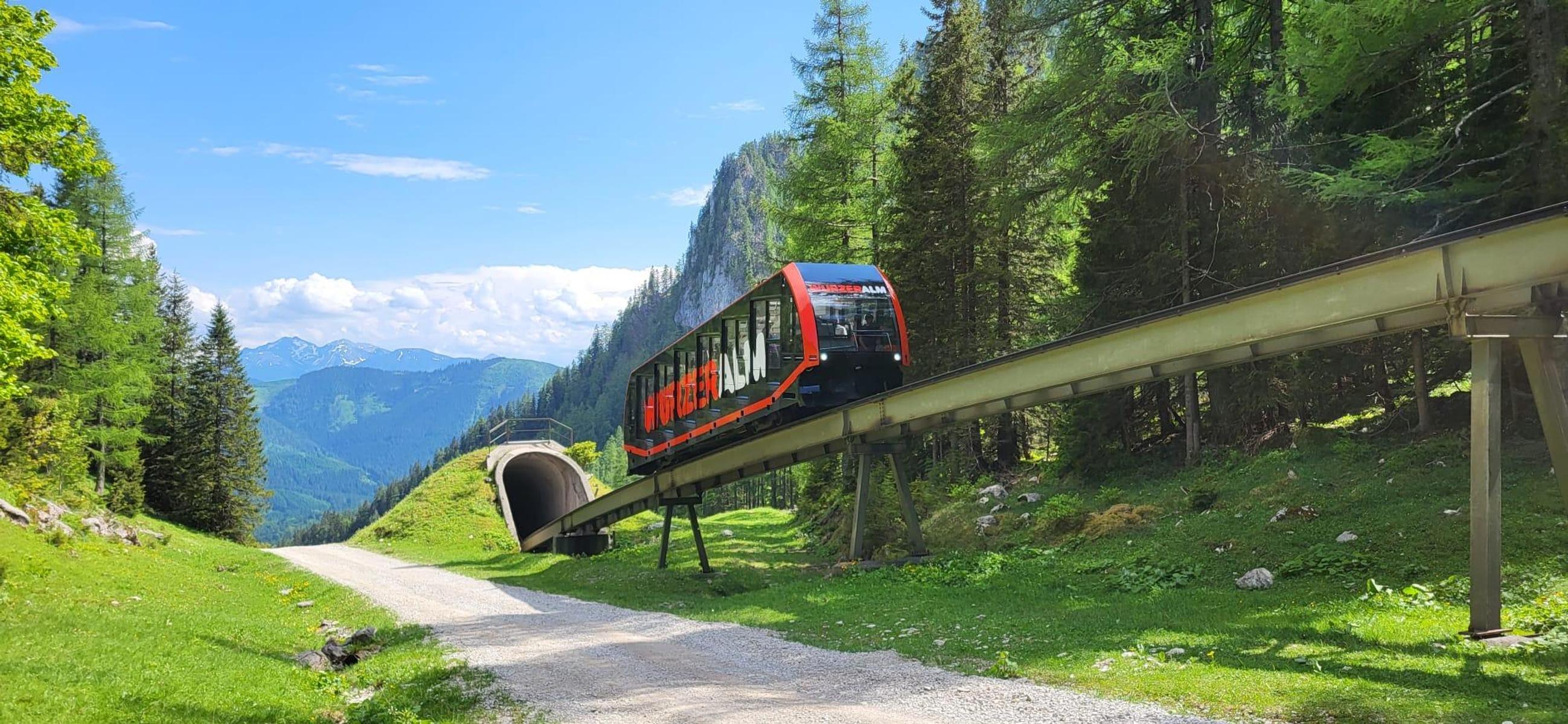
Bergrestaurant Wurzeralm
12.5 km away, in Spital am Pyhrn
A mountain restaurant at the top station of the Wurzeralm funicular, with a large sun terrace.
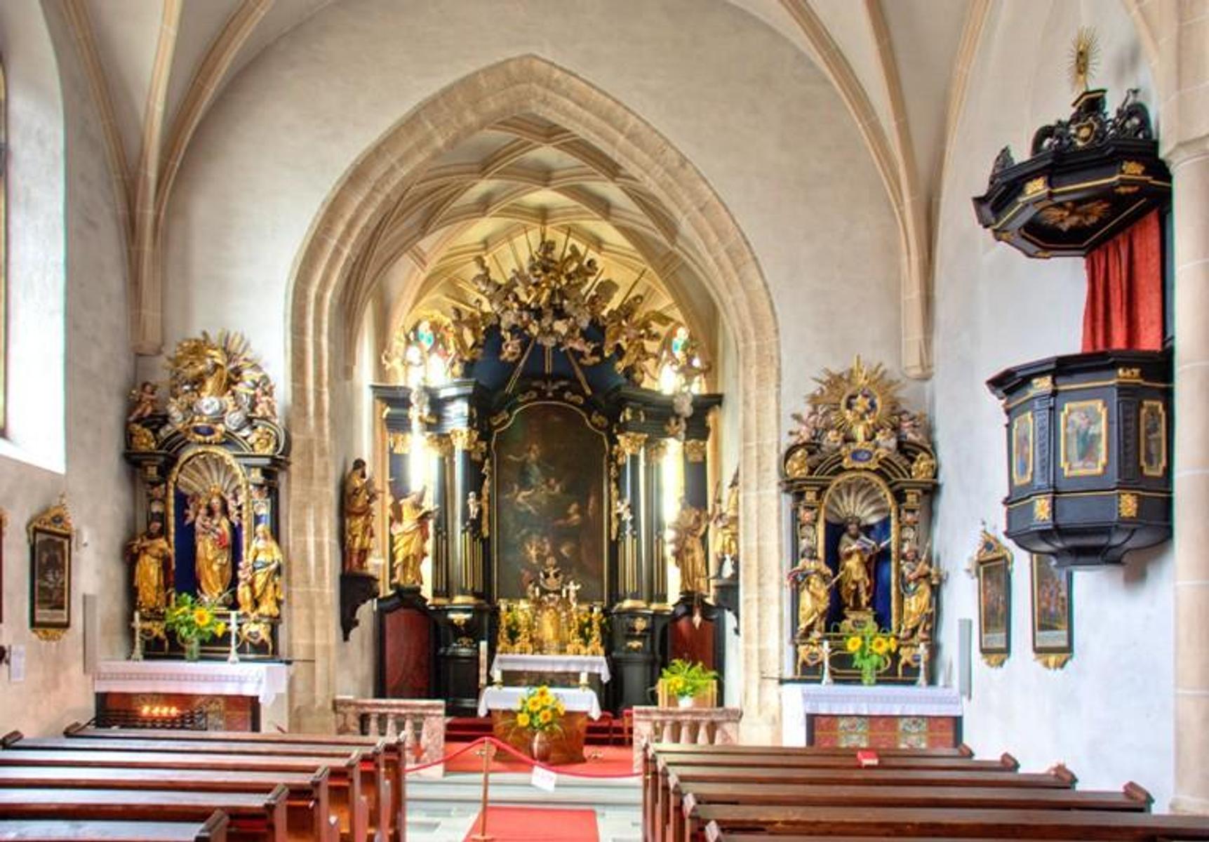
Spätgotische Pfarrkirche Vorderstoder
14.8 km away, in Vorderstoder
The late-Gothic parish church of Vorderstoder, dedicated to St. Leopold, at the centre of the village.
Nothing of this kind in Wörschach.
Routes
Tonisteig
A short secured climb above Wörschach reached via the Schneehitzalm — a longer approach while the Tausingkar stays closed for hunting — with a descent over the Hochtausing.
- 9.9 km
- Distance
- 120 m
- Ascent
- 3 h 54 min
- Duration
- 2
- Check-ins
Gratwanderung über fünf 2000er
A ridge traverse from the Hutterer Höss top station over the Schrocken, the Kreuzspitze and the Mölbing peaks down to Hinterstoder.
- 26.7 km
- Distance
- 1 063 m
- Ascent
- 10 h 46 min
- Duration
Skitour zur Bärenfeichtenalm
Gentle ski tour from the Spechtensee in Wörschachwald to the Bärenfeichtenalm, an unhurried round with modest climbing through wooded alm country.
- 9.3 km
- Distance
- 456 m
- Ascent
- 456 m
- Descent
- 2 h 52 min
- Duration
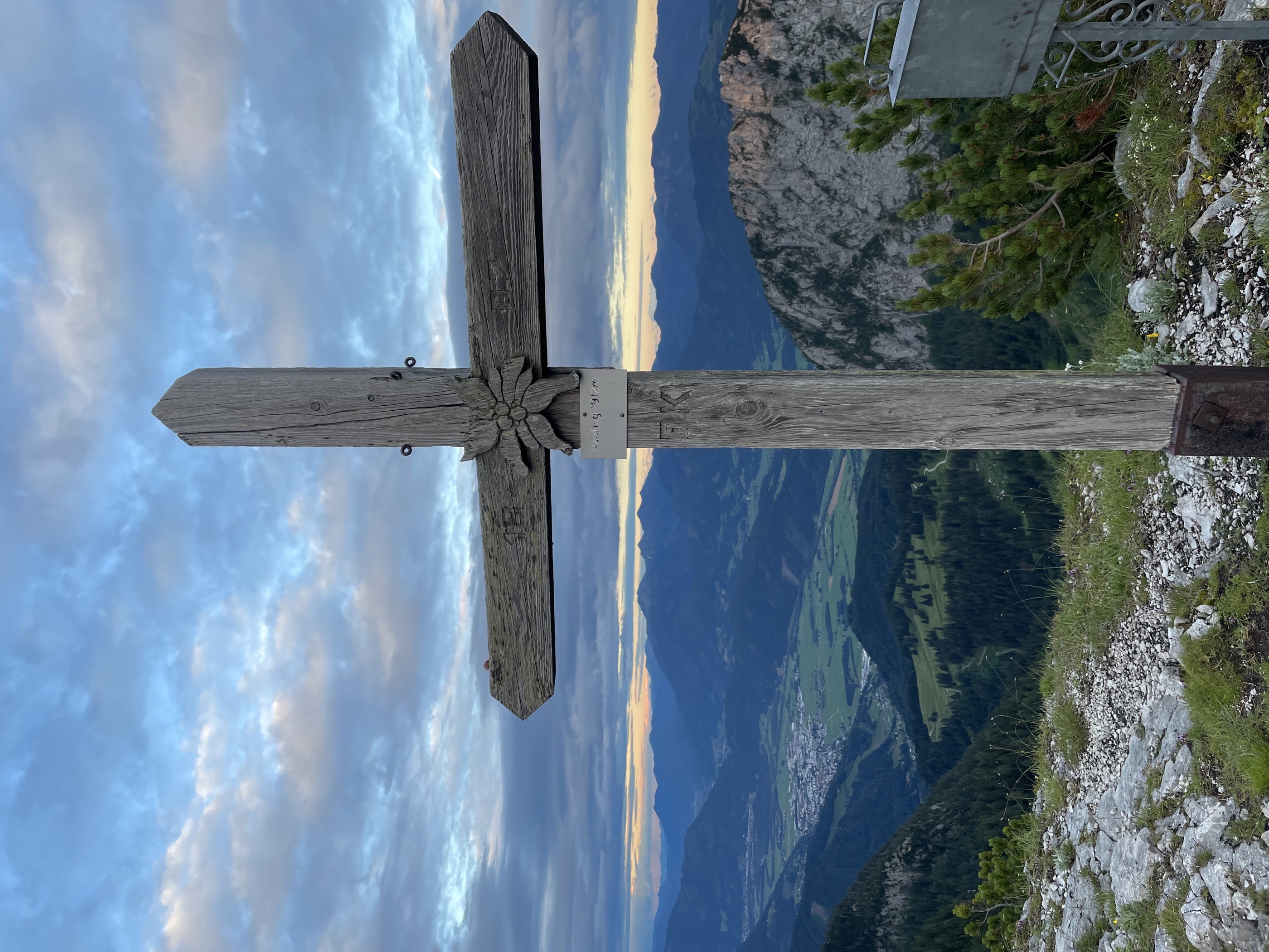
Wörschacher Raidling mit Abfahrt über die Hochmölbinghütte
Ski tour from the Oberkogler Alm above Wörschach to the Wörschacher Raidling, descending on the far side past the Hochmölbinghütte and out through the Langpoltenalm.
- 15.5 km
- Distance
- 954 m
- Ascent
- 954 m
- Descent
- 5 h 2 min
- Duration
- 11
- Check-ins
Ennsradweg Aigen im Ennstal - St. Gallen
A long ride downstream beside the Enns, running through the Gesäuse gorge with barely 600 m of climbing in nearly 80 km.
- 79.0 km
- Distance
- 652 m
- Ascent
- 7 h 37 min
- Duration
- 12
- Check-ins
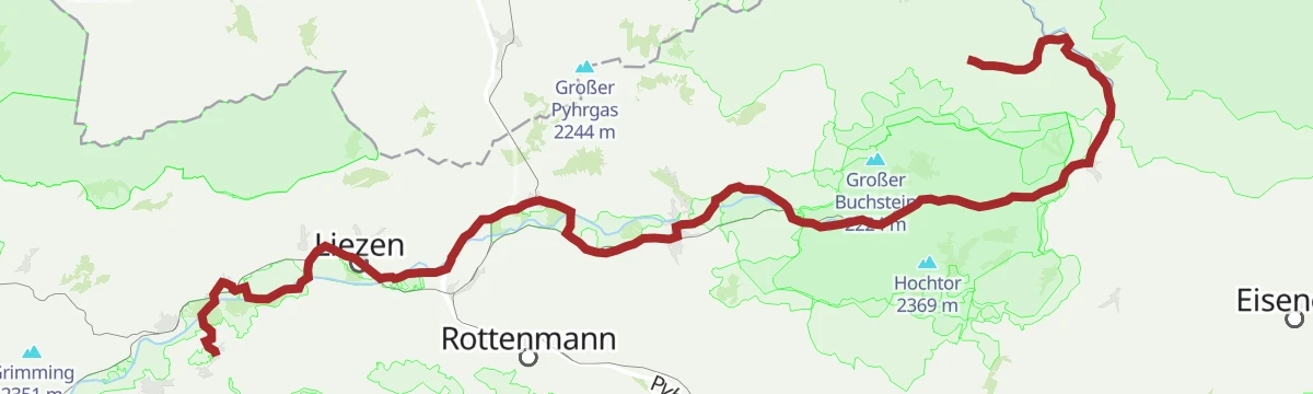
Ennsradweg - 3. Tagesetappe
A flat valley stage beside the Enns, running from Wörschach Schwefelbad through Liezen towards the gates of the Gesäuse.
- 40.5 km
- Distance
- 236 m
- Ascent
- 3 h 49 min
- Duration
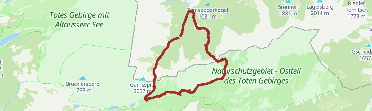
Salzsteigrunde
A long circuit from Baumschlagerreith up to the Salzsteigjoch, on to the Leisthütte and back over the Türkenkarscharte notch.
- 23.7 km
- Distance
- 1 605 m
- Ascent
- 10 h 46 min
- Duration
Skitour zum Hochmölbing
Long ski tour from the Wörschachberg to the Hochmölbing on the southern edge of the Totes Gebirge, collecting the Mittermölbing and Querlstein along the way.
- 20.3 km
- Distance
- 1 427 m
- Ascent
- 1 427 m
- Descent
- 6 h 49 min
- Duration
- 6
- Check-ins
Bike & Hike Dachsteinblick - Gindlhorn
A long ride from the Enns valley floor up to Wörschachwald and the Spechtensee lift, with the walk to the Gindlhorn from the road's end.
- 37.3 km
- Distance
- 974 m
- Ascent
- 4 h 14 min
- Duration
- 12
- Check-ins
Bike & Hike Wörschachklamm - Oberkogler Alm
A valley ride from Aigen to the Klammstüberl at the gorge entrance, with the climb on to the lookout tower at 1,102 m.
- 26.2 km
- Distance
- 651 m
- Ascent
- 2 h 56 min
- Duration
- 12
- Check-ins
Spechtensee Runde | 315
A circuit out of the Enns valley climbing to the Wörschachwald plateau and the lake below the Spechtenseelift, then back down.
- 26.6 km
- Distance
- 734 m
- Ascent
- 3 h 3 min
- Duration
- 4
- Check-ins
No routes of this kind in Wörschach yet.
The region's own picks

 Featured route
Tonisteig
A short secured climb above Wörschach reached via the Schneehitzalm — a longer approach while the Tausingkar stays closed for hunting — with a descent over the Hochtausing.
Planning a trip to Wörschach?
Everything else Styria has, in one place


Take Wörschach with you into the mountains
Every route on this page with 3D terrain, GPX navigation and offline maps — including the valleys with no signal.
Data sources
- Official website: schladming-dachstein.at ↗
- Routes and highlights: Schladming-Dachstein Tourismus, 360alpenland, Salzburger Sportwelt
- Published as open data by the tourist boards named above.
- Region summary generated from the board's own material.
