






Curated by Ybbstaler Alpen
Wildalpen
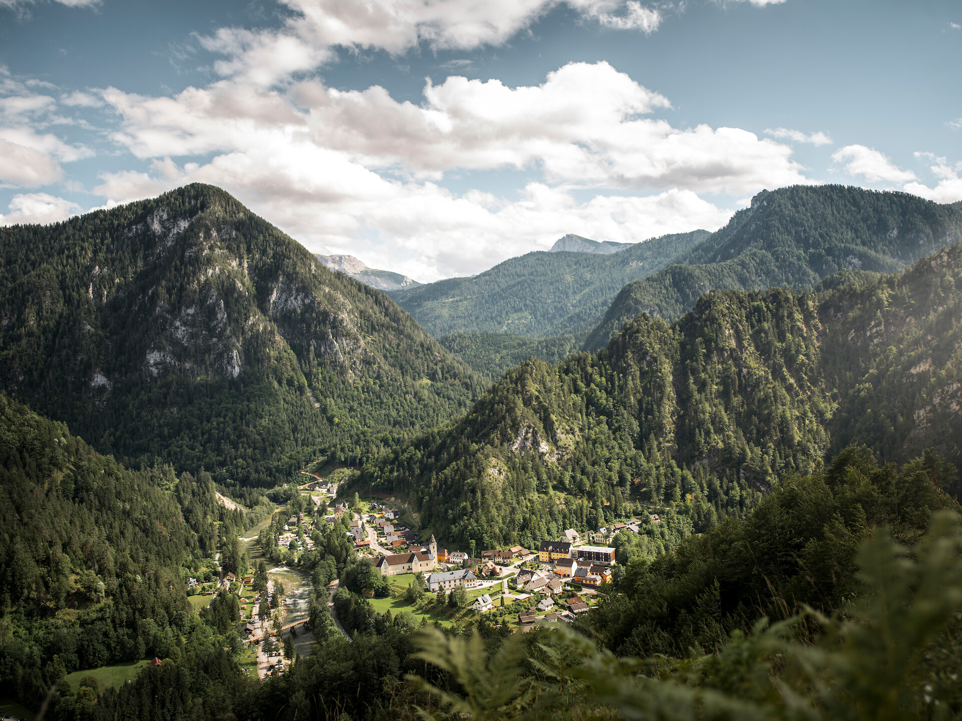
A near-empty stretch of the Salzatal at about 610 m, whose karst springs are piped to Vienna, with barely two inhabitants per square kilometre.
- 1Highlights
- 9Routes
- Featured summit · Ötscher
Highlights
5 from neighbouring places
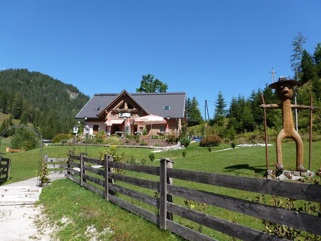
Jausenstation Karin's Stub´n
A snack stop for walkers at Wildalpen, the Styrian village in the Salza valley.
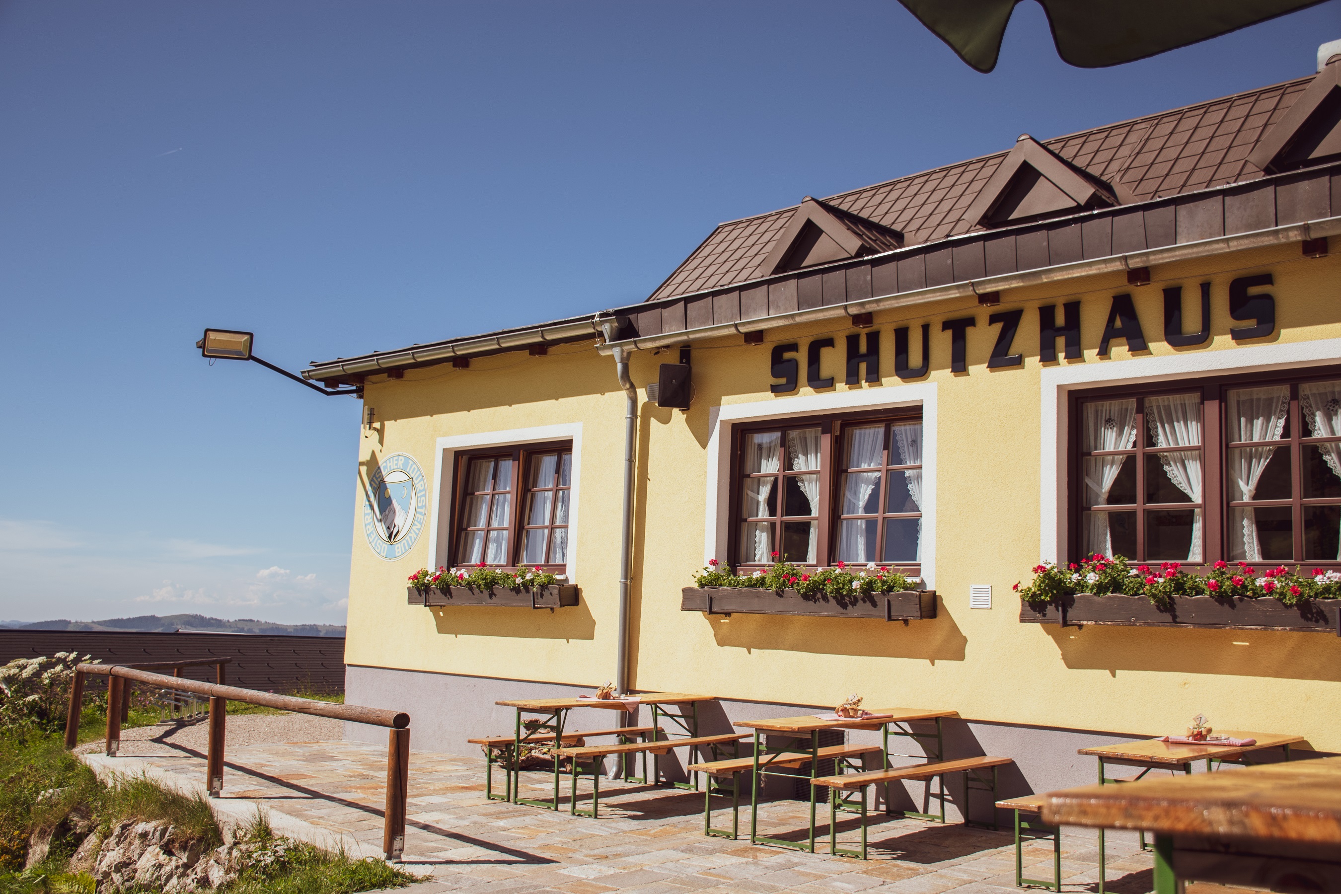
ÖTK Schutzhaus Hochkar
7 km away, in Göstling an der Ybbs
A hut of the Austrian Tourist Club high on the Hochkar above Göstling an der Ybbs, serving skiers in winter and walkers in summer.
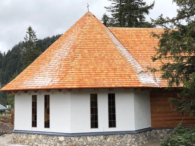
Hochkar-Kapelle
7 km away, in Göstling an der Ybbs
A small chapel on the Hochkar above Göstling an der Ybbs, standing beside the paths on the summit plateau.
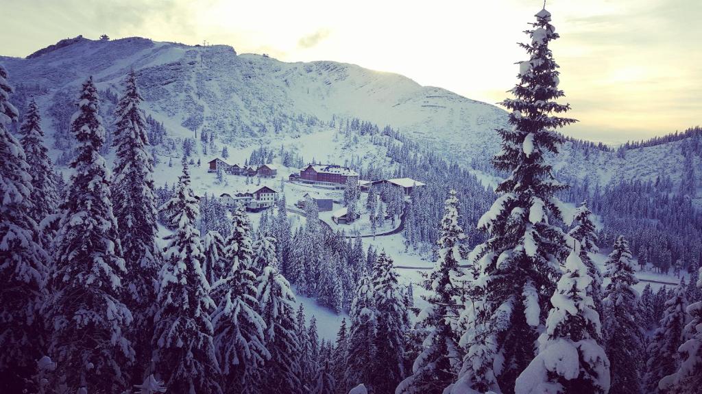
JoSchi Almhütte Hochkar
7.3 km away, in Göstling an der Ybbs
An alpine chalet on the Hochkar above Göstling an der Ybbs, used as group and family accommodation for the ski and walking area.
Steinkugelmühle
13.1 km away, in Landl
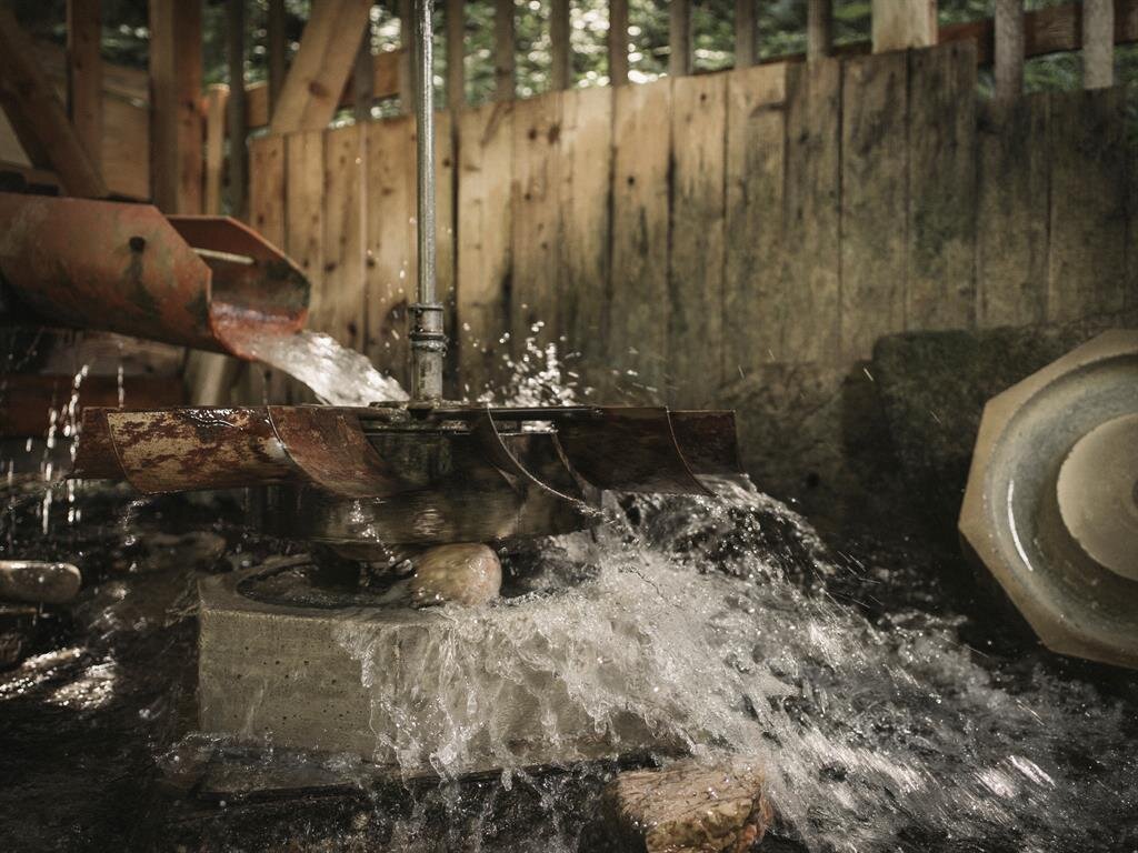
A restored mill near Gams bei Hieflau in the Styrian Eisenwurzen, where stone balls were once ground.
Kirche in Weichselboden
13.9 km away, in Mariazell
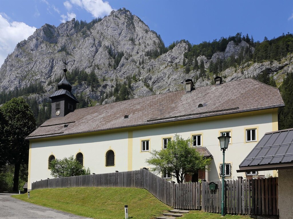
The village church of Weichselboden, in the Salza valley west of Mariazell in Styria.
Nothing of this kind in Wildalpen.
Routes
11 from neighbouring places
Alpintour: Hochkar
A short high-level walk on the Hochkar plateau above Göstling an der Ybbs, near-level once the toll road or lift has done the climbing.
- 42.7 km
- Distance
- 4 m
- Ascent
- 9 h 60 min
- Duration
- 83
- Check-ins
Ringkogeltrail
A 14.6 km ridge round with 739 m of ascent over the Ringkogel, Geißhöhe and Munzenplan, passing the Schwarzalmhütte and the Hochkarschutzhaus.
- 14.6 km
- Distance
- 739 m
- Ascent
- 5 h 23 min
- Duration
- 9
- Check-ins
Haute Route 10. Etappe: Hochkar
A 21.5 km stage over the Hochkar and the Schmalzmauer with 739 m of ascent, by the Geischlägerhaus, the Scheinecksattel and the Schwarzalmhütte.
- 21.5 km
- Distance
- 739 m
- Ascent
- 6 h 52 min
- Duration
- 41
- Check-ins
Zellerrainrunde
A round in the pass country of the Zellerrain between the Ybbstal and Mariazell, with close to 900 m of climbing.
- 171.7 km
- Distance
- 884 m
- Ascent
- 16 h 3 min
- Duration
Gipfelweg Hochkar
A 0.7 km path from the Geischlägerhaus to the top of the Hochkar, with 53 m of ascent.
- 719 m
- Distance
- 53 m
- Ascent
- 21 min
- Duration
- 33
- Check-ins
Hochkar
A 13.5 km round in the Hochkar group with 425 m of ascent, over the Ringkogel and Lahnerkogel past the Wiesenalm and Schwarzalmhütte.
- 13.5 km
- Distance
- 425 m
- Ascent
- 4 h 13 min
- Duration
- 7
- Check-ins
Haute Route 9. Etappe: Ybbstaler Hütte
A 20.4 km stage from the Ybbstaler Hütte over the Dürrenstein and the Ringkogel to the Hochkar, with 405 m of ascent.
- 20.4 km
- Distance
- 405 m
- Ascent
- 5 h 46 min
- Duration
- 25
- Check-ins
Wanderung zur Skytour Hochkar
A 2 km approach gaining 295 m to the Skytour on the Hochkar, past the Gasthaus Blaimauer and the Geischlägerhaus.
- 2.0 km
- Distance
- 295 m
- Ascent
- 1 h 42 min
- Duration
- 16
- Check-ins
Etappe 10 Luchs Trail Lassing
A long, lonely high-level stage past the edge of the Hochkar ski area and on into the Dürrenstein wilderness.
- 24.2 km
- Distance
- 1 359 m
- Ascent
- 9 h 53 min
- Duration
Teichrunde
7 km away, in Göstling an der Ybbs
A 3.2 km loop taking in the Bergsee on the Hochkar, with 178 m of ascent and the Hochkarhof nearby.
- 3.2 km
- Distance
- 178 m
- Ascent
- 29 min
- Duration
- 6
- Check-ins
Skitourenstrecke Hochkar
7.5 km away, in Göstling an der Ybbs
A short ski-touring line on the Hochkar, 1.2 km with 164 m of climbing.
- 1.2 km
- Distance
- 164 m
- Ascent
- 164 m
- Descent
- 34 min
- Duration
Radberg Hochkar
10.1 km away, in Göstling an der Ybbs
An 11.1 km traverse on the Hochkar plateau past the Latsch'n Alm, the Hochkarhof and the Hochkarschutzhaus.
- 11.1 km
- Distance
- 70 m
- Ascent
- 1 h 3 min
- Duration
- 5
- Check-ins
Wasserlochklamm Palfau
8.8 km away, in Landl
A short but steep 363 m climb through the Wasserlochklamm gorge at Palfau, starting from the Gasthaus Wasserlochschenke at its mouth.
- 3.6 km
- Distance
- 363 m
- Ascent
- 2 h 14 min
- Duration
Gipfelwanderung Hochkar
7 km away, in Göstling an der Ybbs
A 2.6 km ascent of the Hochkar gaining 331 m, going by the Gasthaus Blaimauer and the Scheinecksattel.
- 2.6 km
- Distance
- 331 m
- Ascent
- 1 h 57 min
- Duration
- 22
- Check-ins
Mendlingtal
10.3 km away, in Göstling an der Ybbs
A 15.1 km walk through the Mendlingtal with 524 m of ascent, past the Venezianersäge sawmill and over the Mendlingpass.
- 15.1 km
- Distance
- 524 m
- Ascent
- 4 h 51 min
- Duration
 Rastplatz Klaushütte 612 m
- Venezianersäge 596 m
 Mendlingpass 680 m
- Staudingerhütte (Jagdhütte) 687 m
 Herrenhaus Fischteich 637 m
- Herrenhaus Fischteich 638 m
- +1
Lassing
10.2 km away, in Göstling an der Ybbs
A climb out of Lassing that gains 802 m in under 5 km, finishing among the huts on the Hochkar.
- 4.9 km
- Distance
- 802 m
- Ascent
- 4 h 34 min
- Duration
- 4
- Check-ins
Hochkargipfelrunde
7 km away, in Göstling an der Ybbs
A 4.8 km summit round on the Hochkar with 331 m of ascent, over the Scheinecksattel and past the Geischlägerhaus.
- 4.8 km
- Distance
- 331 m
- Ascent
- 2 h 13 min
- Duration
- 34
- Check-ins
Almenwanderung vom Leckermoos auf den Ringkogel und Schwarzalm
11.7 km away, in Göstling an der Ybbs
A 15 km round of the alpine pastures from the Leckermoos with 838 m of ascent, over the Ringkogel and Lahnerkogel to the Schwarzalmhütte.
- 15.0 km
- Distance
- 838 m
- Ascent
- 5 h 56 min
- Duration
- 3
- Check-ins
Vom Leckermoos über die Schwarzalm zum Hochkar
11.6 km away, in Göstling an der Ybbs
An 11.9 km crossing from the Leckermoos bog by way of the Schwarzalmhütte to the Hochkar, over the Lickerplanhöhe.
- 11.9 km
- Distance
- 28 m
- Ascent
- 2 h 50 min
- Duration
- 5
- Check-ins
Hochkartalstation
7 km away, in Göstling an der Ybbs
A 2.6 km walk from the Hochkar valley station gaining 331 m, up by the Gasthaus Blaimauer to the Scheinecksattel.
- 2.5 km
- Distance
- 331 m
- Ascent
- 1 h 57 min
- Duration
- 23
- Check-ins
No routes of this kind in Wildalpen yet.
The region's own picks

Featured route
Alpintour: Hochkar
A short high-level walk on the Hochkar plateau above Göstling an der Ybbs, near-level once the toll road or lift has done the climbing.
Planning a trip to Wildalpen?
Everything else Styria has, in one place


Take Wildalpen with you into the mountains
Every route on this page with 3D terrain, GPX navigation and offline maps — including the valleys with no signal.
Data sources
- Official website: steiermark.com ↗
- Routes and highlights: Ybbstaler Alpen, Steiermark, 360alpenland
- Published as open data by the tourist boards named above.
- Region summary generated from the board's own material.
