
 Viewpoint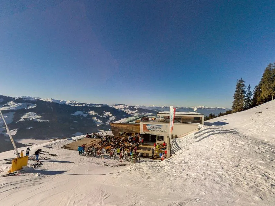
 Cable car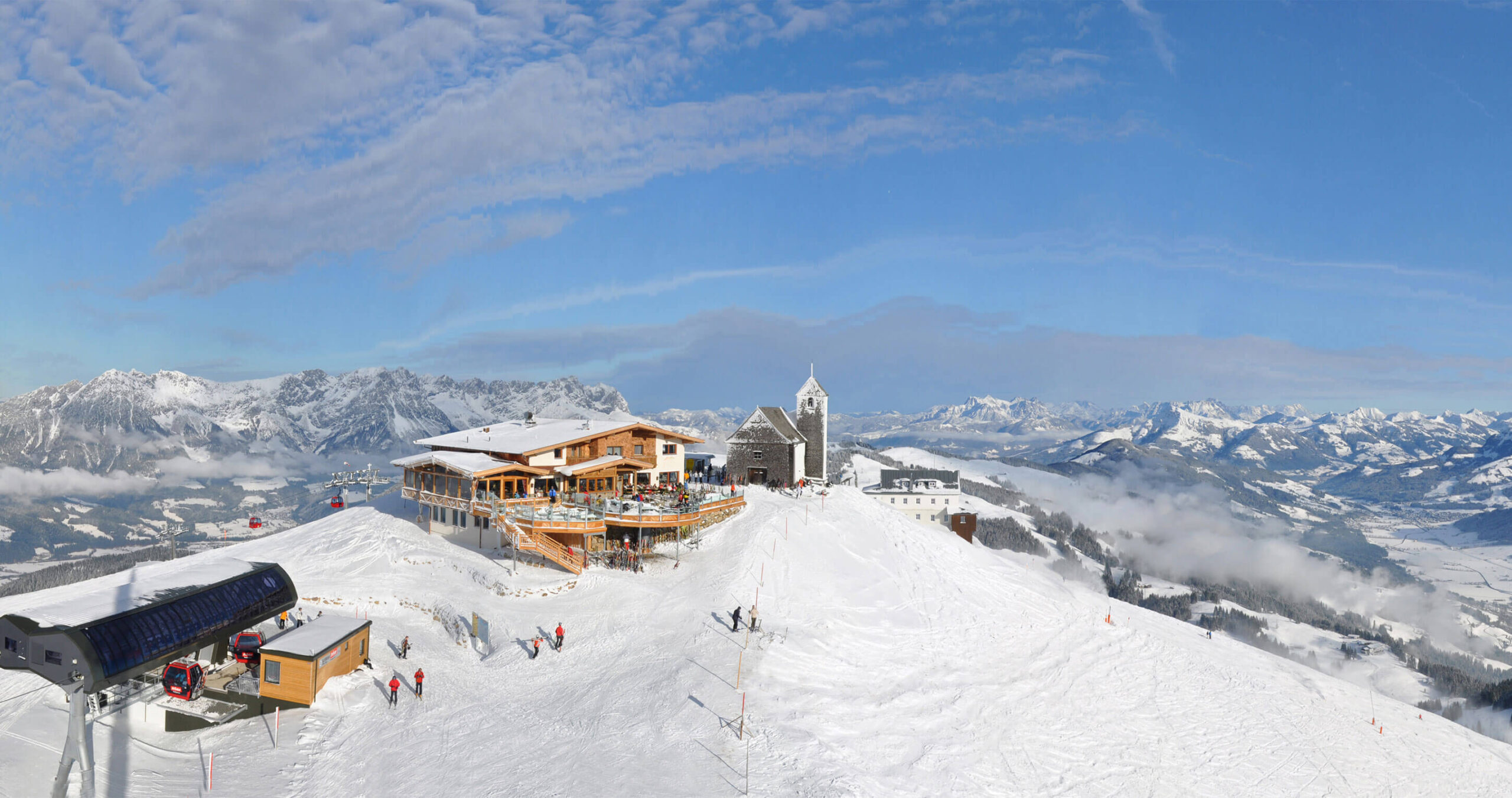



















Curated by Kitzbüheler Alpen Tourismus
Westendorf
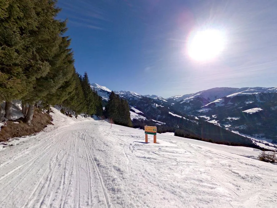
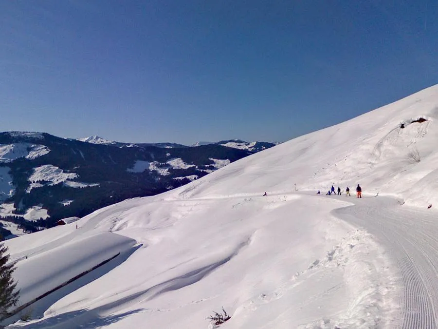
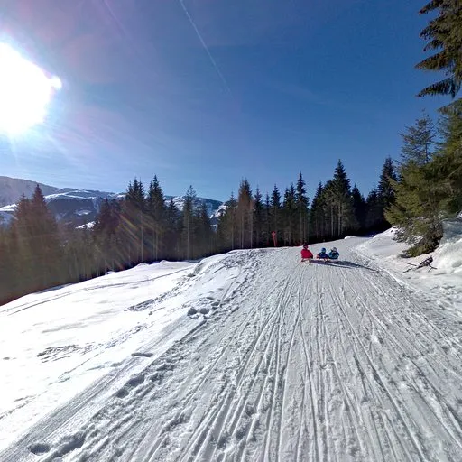
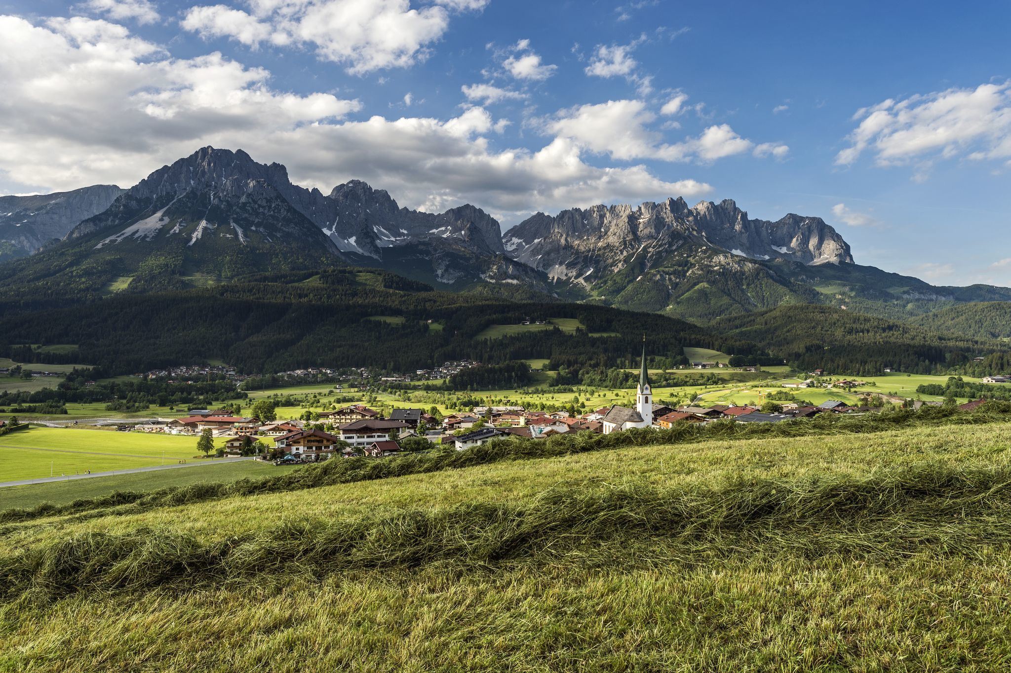
One of the Brixental's classic villages at 783 m, its pastures linked into the SkiWelt, with the little Salvenkirchlein chapel on the Hohe Salve summit above.
- 24Highlights
- 93Routes
- Featured summit · Hohe Salve
Highlights
The 20 highest-rated · see the rest on kitzbueheler-alpen.com ↗
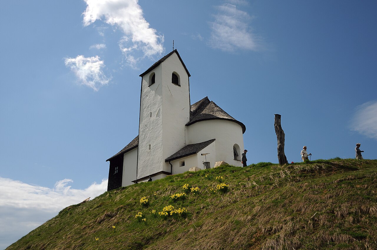
 Historic site Feel free to use my photos, but please mention me as the author and if you want send me a message . or ( rufre@lenz-nenning.at ) · CC BY-SA 3.0 at
Salvenkirchlein auf der Hohen Salve
A small pilgrimage chapel on the summit of the Hohe Salve above Hopfgarten, reached by lift or on foot for its all-round panorama.
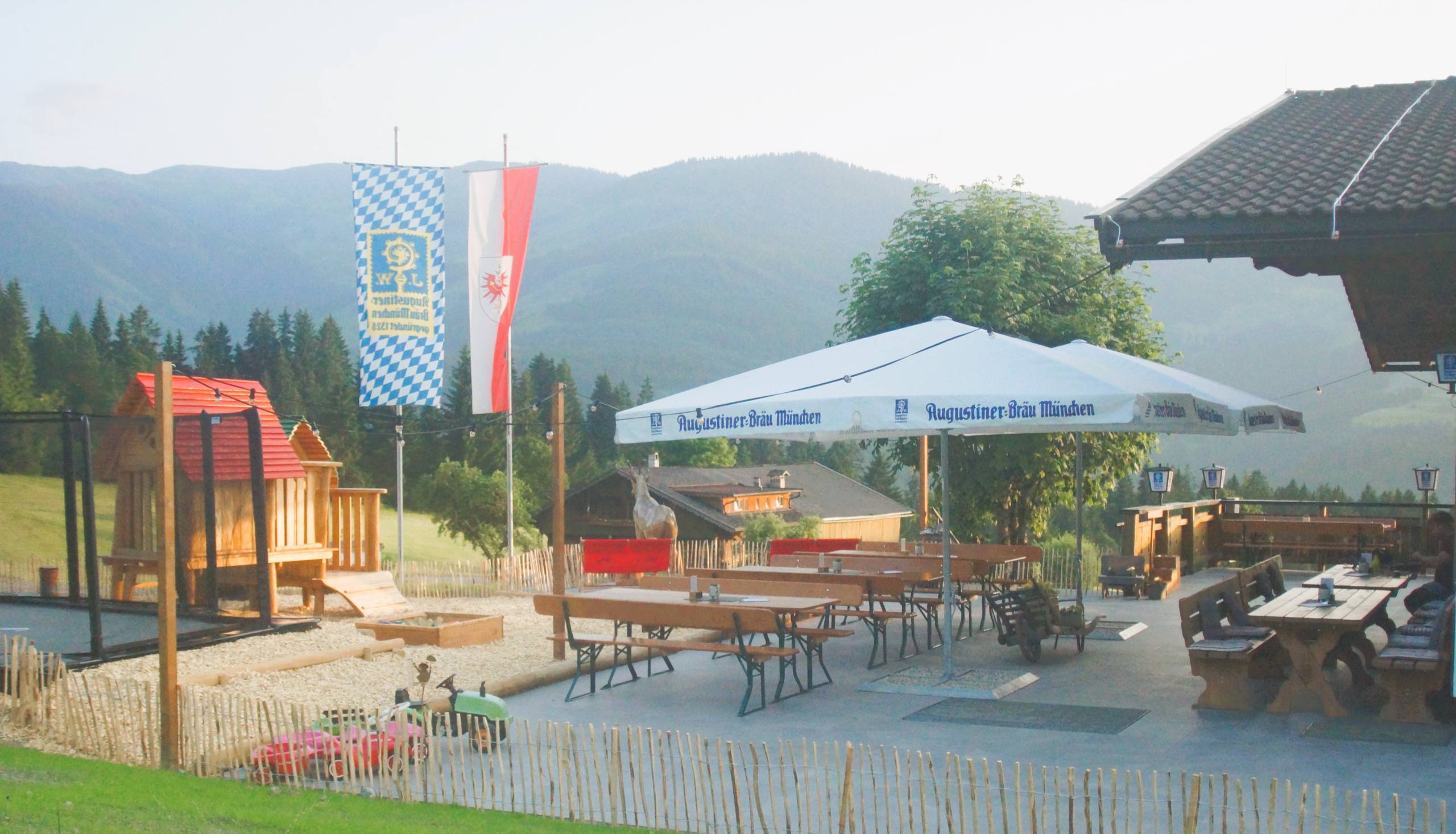
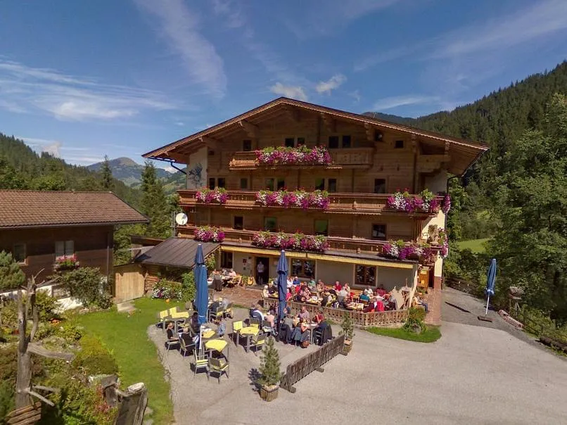
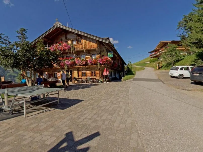
Berggasthof Gassnerwirt
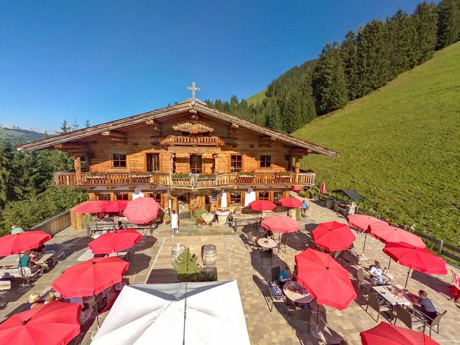
A Berggasthof in the hills above Westendorf serving traditional cooking, a destination for walks out of the village at 783 m.
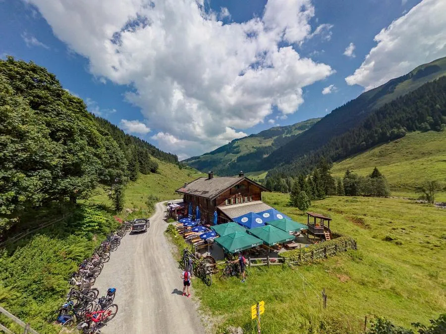
Gamskogelhütte
A mountain hut in the Windau valley south of Westendorf, a stop for hikers and ski tourers below the Gamskogel.
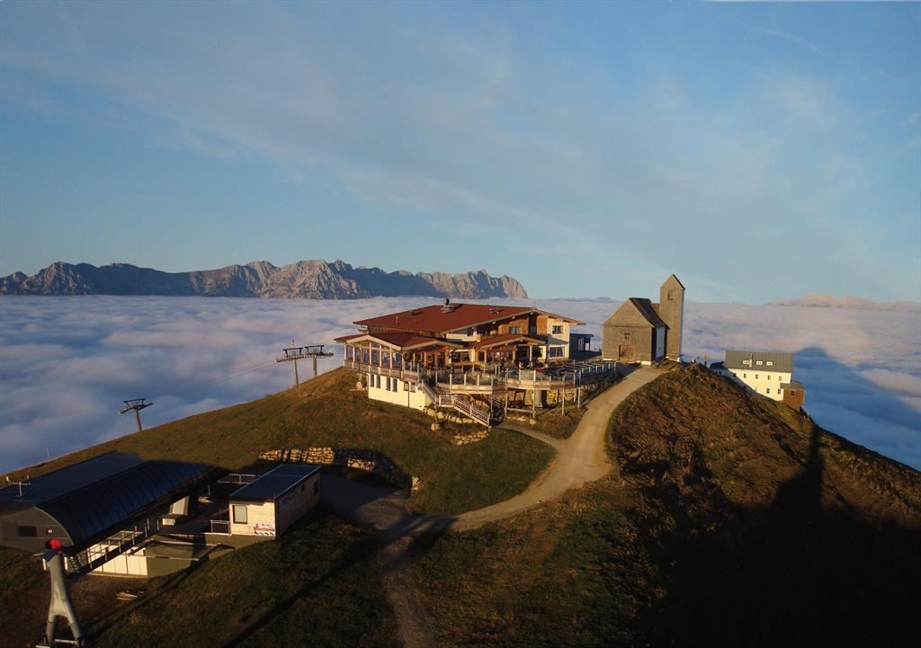
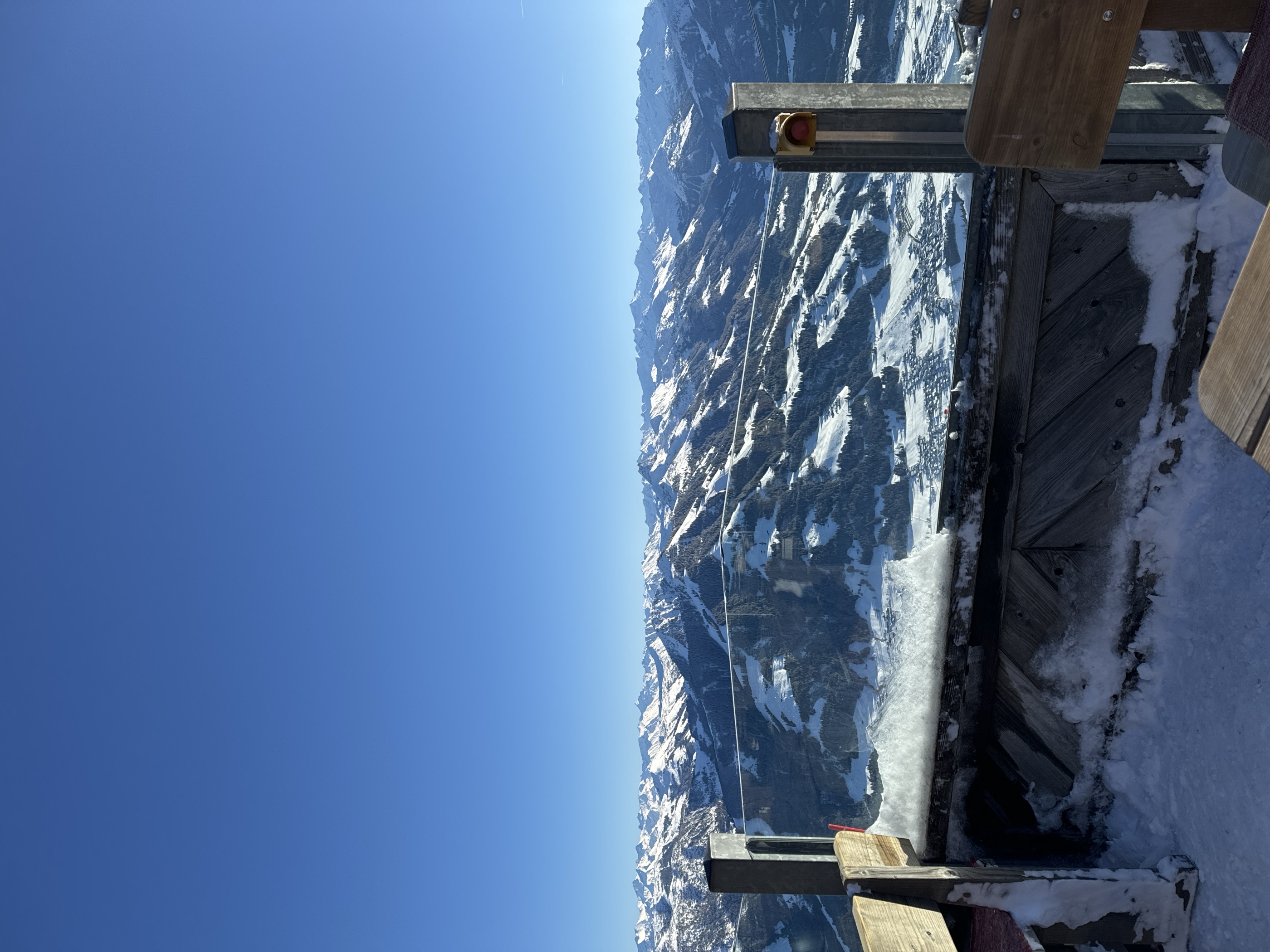
Gipfelalm Hohe Salve
A summit restaurant on the Hohe Salve above Söll and Hopfgarten, next to the small summit chapel, with a wide panorama of the Kitzbühel Alps.
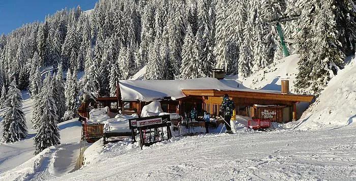
Stoagrub'n Hütte
A ski hut with an après-ski bar on the Hopfgarten slopes of the SkiWelt, serving regional dishes below the Hohe Salve.
Pano Rundblick Gasthaus Steinberg
An online 360-degree panorama from the Gasthaus Steinberg in the Windau valley near Westendorf, previewing the walking area.
Pano Rundblick Osl Panorama
A 360-degree panorama viewpoint at the Osl, one of a network of full-circle photo points on the grassy heights of the Kitzbüheler Alpen.
Pano Rundblick Rainbichlhof
A 360-degree online panorama recorded at the Rainbichlhof farm in the Kitzbüheler Alpen, one of the region's virtual viewpoints.
Pano Rundblick Reiterstüberl
A 360-degree online panorama from the Reiterstüberl hut area in the Kitzbüheler Alpen, part of a network of virtual viewpoints.
Pano Rundblick Schrandl1
The first of the Schrandl group of 360-degree panorama points in the Kitzbüheler Alpen, covering the slopes south of the Brixental.
Pano Rundblick Schrandl2
The second of several 360-degree panorama points at Schrandl in the Kitzbüheler Alpen, part of the Rundblick network of full-circle viewpoints.
Pano Rundblick Schrandl4
One of a cluster of 360-degree panorama points at Schrandl in the Kitzbüheler Alpen, recording the ring of grass summits around the Brixental.
Pano Rundblick Sonnalm
A 360-degree panorama viewpoint at the Sonnalm, an alpine pasture site above the Brixental in the Kitzbüheler Alpen.
Pano Rundblick Zieplhof
A 360-degree panorama viewpoint at the Zieplhof, a farm site on the sunny slopes above the Brixental in the Kitzbüheler Alpen.
Pano Rundblick6
A numbered station in the Rundblick series of 360-degree panorama viewpoints, sited on the heights above the Brixental in the Kitzbüheler Alpen.
Pano Rundlblick5
A numbered 360-degree panorama station in the Rundblick network of the Kitzbüheler Alpen, set among the pastures above the Brixental.
Pano rundblick Gamskogelhütte
A 360-degree panorama viewpoint at the Gamskogelhütte, a mountain hut high in the Kitzbüheler Alpen south of the Brixental.
Pano rundblick Schrandl3
A 360-degree panorama viewpoint at Schrandl in the Kitzbüheler Alpen, one of several full-circle photo points spread along this stretch of ridge.
Bergbahnen Westendorf - Alpenrosenbahn I und II
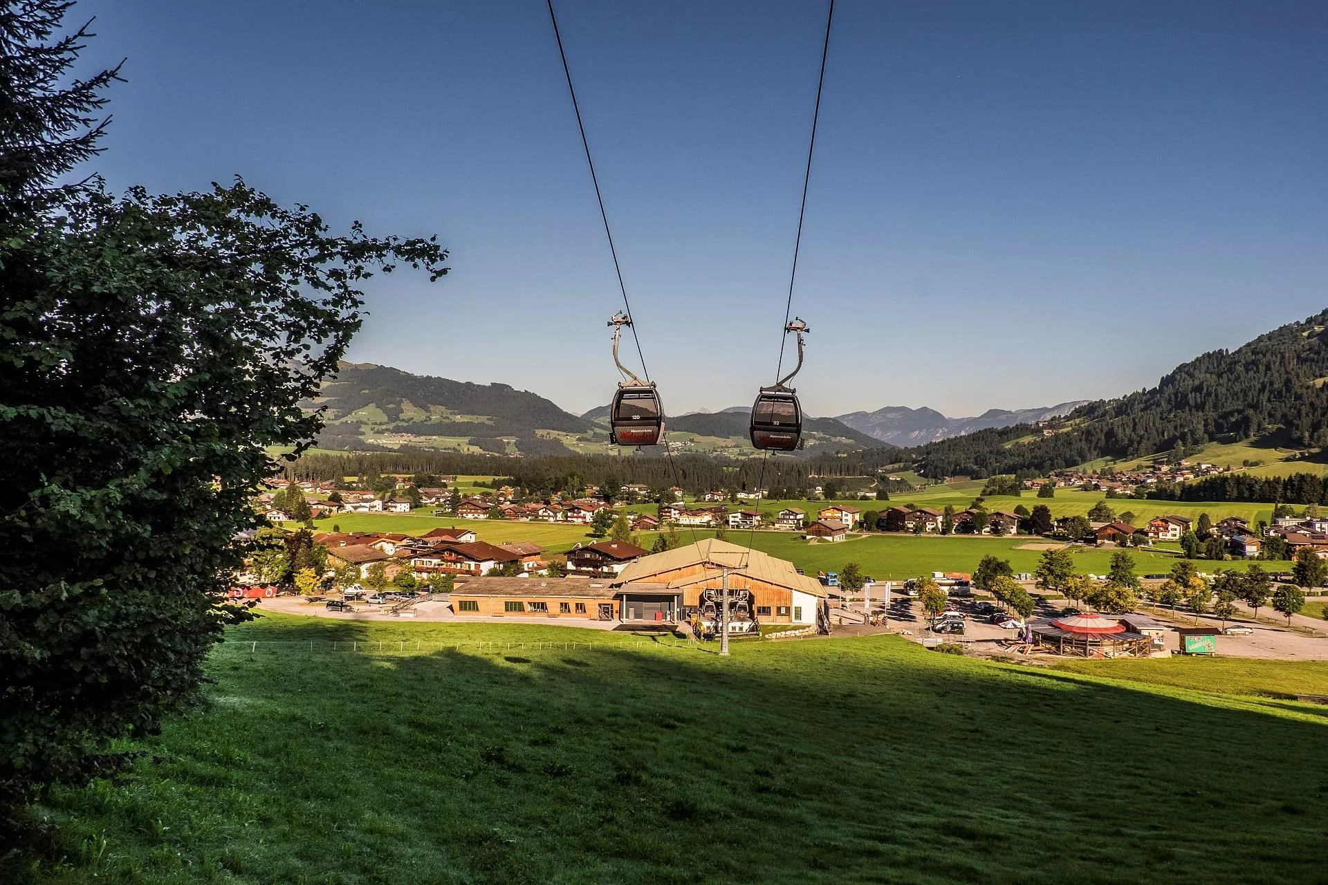
A two-stage gondola from Westendorf at 783 m into the SkiWelt, serving the Alpinolino discovery park and the ridges between the Brixental and the Windautal.
Salvi's Kraxxl Platzl
A children's climbing area on the Hohe Salve above Hopfgarten im Brixental, part of the family offering around the summit lifts.
Nothing of this kind in Westendorf.
Routes
50 routes, an even mix of activities · see the rest on kitzbueheler-alpen.com ↗
Sonnenweg Hohe Salve
Short summit stroll from the gondola top station to the Gipfelalm on the Hohe Salve, whose 360-degree panorama takes in the Wilder Kaiser and the Hohe Tauern.
- 704 m
- Distance
- 46 m
- Ascent
- 19 min
- Duration
- 128
- Check-ins
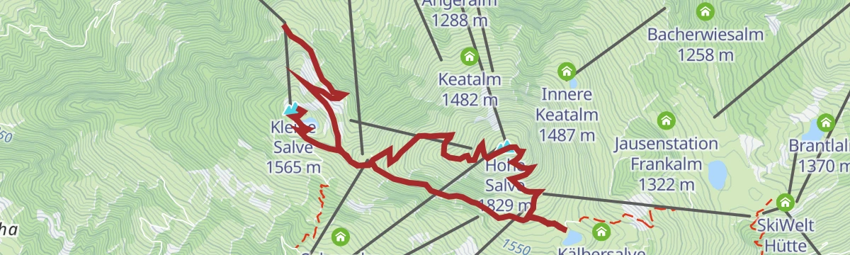
Gipfeltour Kleine und Hohe Salve
Two summits in one walk above Hopfgarten, the Kleine Salve and the Hohe Salve, with the Kraftalm and the Gipfelalm for refreshment.
- 7.4 km
- Distance
- 350 m
- Ascent
- 3 h
- Duration
- 160
- Check-ins
Panoramarunde Kleine Salve
A long circuit over the Salve massif's lower summit, connecting the Gipfelalm on the Hohe Salve, the Kraftalm and a string of pasture inns high above the Brixental.
- 14.3 km
- Distance
- 906 m
- Ascent
- 6 h 12 min
- Duration
- 168
- Check-ins
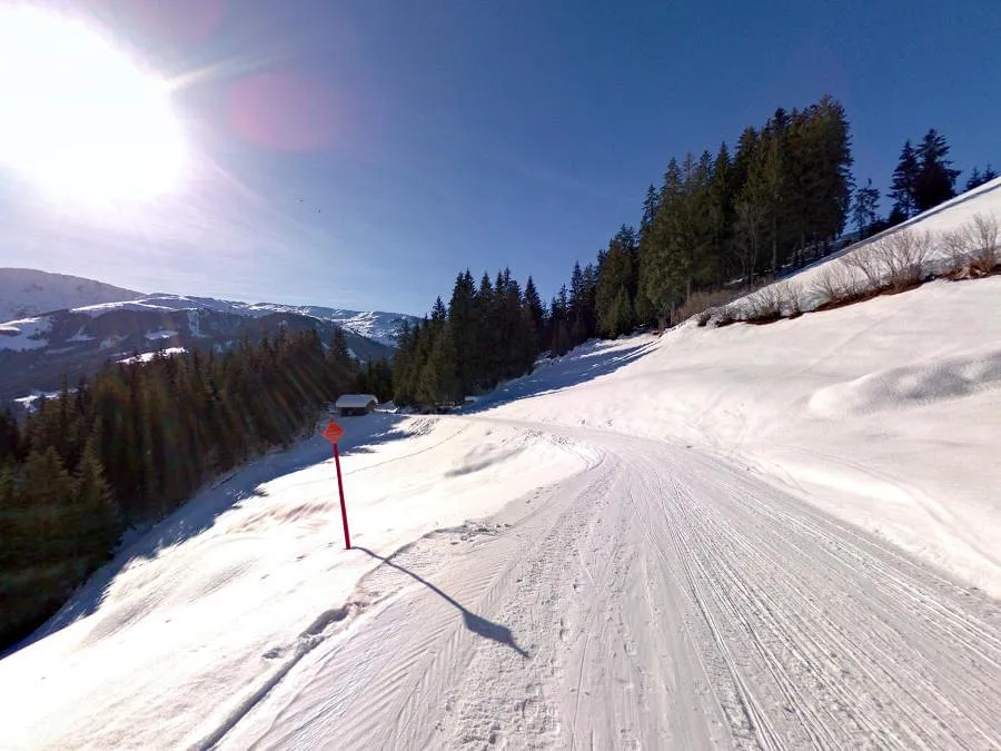
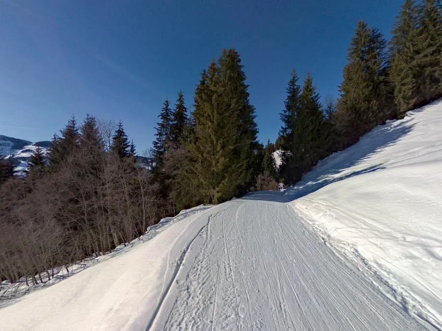
Skitour zur Alpenrosenhütte
A ski ascent from Westendorf past the Koehlerhuette to a serviced hut in the heart of the ski area, with groomed pistes for the descent; a solid choice for an evening tour.
- 3.2 km
- Distance
- 764 m
- Ascent
- 764 m
- Descent
- 2 h 23 min
- Duration
- 12
- Check-ins
Skitour Lodron
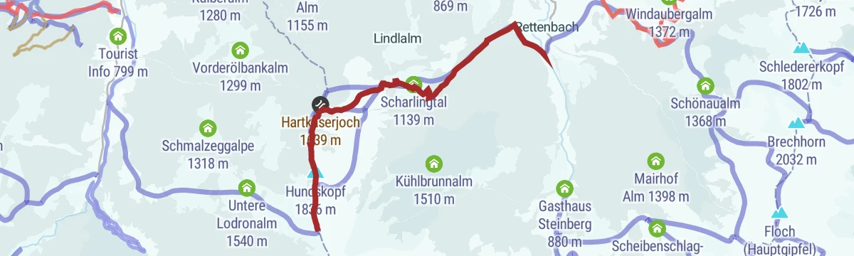
Ski tour out of the Windautal: from the Jägerhäusl through the Scharlingtal to the Hartkaserjoch, then along the ridge over the Hundskopf to the summit.
- 6.8 km
- Distance
- 1 121 m
- Ascent
- 1 121 m
- Descent
- 3 h 45 min
- Duration
- 10
- Check-ins
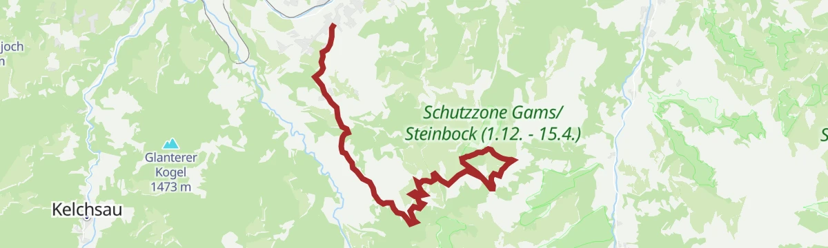
294 | Glanterer Kogel
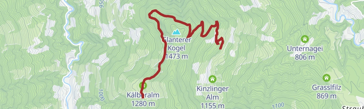
A short and easy forest-road climb on the slopes above Westendorf, gaining under 300 m to the Kälberalm at 1,280 m.
- 4.9 km
- Distance
- 293 m
- Ascent
- 46 min
- Duration
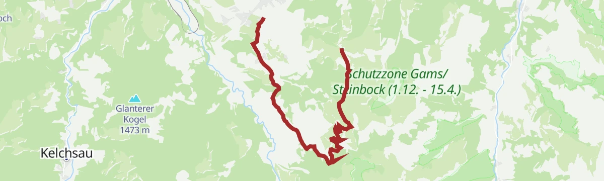
298 | Speicherteich kleine Salve
A climb from Westendorf onto the Salve ridge, ending by the storage reservoir at 1,394 m near the Kälbersalve Alm.
- 10.0 km
- Distance
- 870 m
- Ascent
- 2 h 5 min
- Duration
- 19
- Check-ins
Brechhornhaus - Choralpe
A double climb on the alm roads above Westendorf, over the Höhningerscharte to the Talkaser and back past the Innerfleidingalm.
- 30.7 km
- Distance
- 2 015 m
- Ascent
- 5 h 10 min
- Duration
- 51
- Check-ins
Bike&Hike Hohe Salve
A hard road-and-track climb from the valley to the Gipfelalm at 1,828 m, more than 1,000 m of ascent in barely 10 km.
- 10.1 km
- Distance
- 1 077 m
- Ascent
- 2 h 29 min
- Duration
- 146
- Check-ins
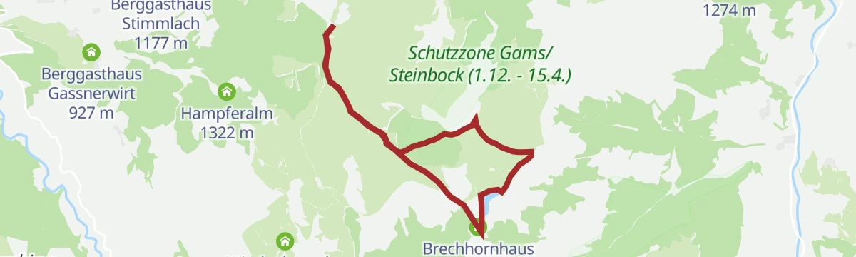
Talkaser Runningtrail
A high running loop from the Alpenrosenbahn top station past the Brechhornhaus and the Kreuzjoechl reservoir, on rolling paths high above Westendorf.
- 6.6 km
- Distance
- 230 m
- Ascent
- 2 h 7 min
- Duration
- 39
- Check-ins
Vom Gipfel Hohe Salve nach Hopfgarten
Downhill-only route from the Hohe Salve summit — reached by gondola — descending past the Rigi and the Kälberalm through sunny pastures to Hopfgarten.
- 8.0 km
- Distance
- 8 m
- Ascent
- 1 h 53 min
- Duration
- 143
- Check-ins
Von Hopfgarten zum Gipfel der Hohen Salve
Full valley-to-summit ascent from Hopfgarten to the Hohe Salve, over 1,200 m up past the Kälberalm and the Alpengasthof Rigi to the chapel-topped viewpoint.
- 8.1 km
- Distance
- 1 233 m
- Ascent
- 7 h 5 min
- Duration
- 143
- Check-ins
Skitour Steinbergstein
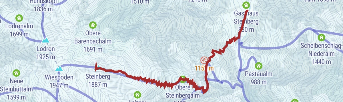
A committing tour from the Gasthaus Steinberg in the Windautal, climbing past the Untere and Obere Steinbergalm to an open summit slope; reliable snow cover matters here.
- 5.5 km
- Distance
- 1 003 m
- Ascent
- 1 003 m
- Descent
- 3 h 17 min
- Duration
- 7
- Check-ins
297 | Salvenberg-Rigi
A steep climb up the Salvenberg to the Alpengasthof Rigi at 1,531 m, passing the reservoir on the Hohe Salve slopes.
- 9.3 km
- Distance
- 864 m
- Ascent
- 2 h 3 min
- Duration
- 16
- Check-ins
MTB-Tour um die Hohe Salve
A long circuit around the central peak of the SkiWelt, running over to Hopfgarten and back past the SkiWelt Hütte and the Gründlalm.
- 36.5 km
- Distance
- 877 m
- Ascent
- 4 h 4 min
- Duration
- 48
- Check-ins
Bike&Hike Guggenkögele
A ride to the Choralpe at 1,809 m by way of the Windaubergalm and the Talkaser, leaving the bike for the final walk up.
- 13.0 km
- Distance
- 1 134 m
- Ascent
- 2 h 43 min
- Duration
- 42
- Check-ins
Panorama Gipfelwanderung Fleiding
Short summit walk from the Alpenrosenbahn top station over the Fleiding and Laubkogel, big Kitzbühel Alps views for little effort.
- 3.3 km
- Distance
- 231 m
- Ascent
- 1 h 32 min
- Duration
- 29
- Check-ins
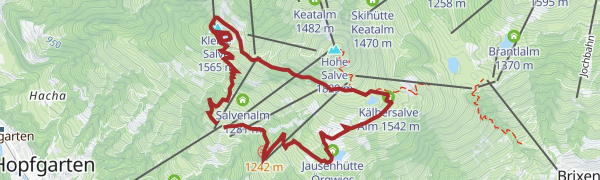
Hohe Salve über Salvensee
Steady climb past the Speichersee reservoir and the Kälbersalve Alm to a summit chapel with one of Tirol's widest panoramas, descending via the Jausenhütte Örgwies.
- 6.1 km
- Distance
- 667 m
- Ascent
- 4 h 3 min
- Duration
- 141
- Check-ins
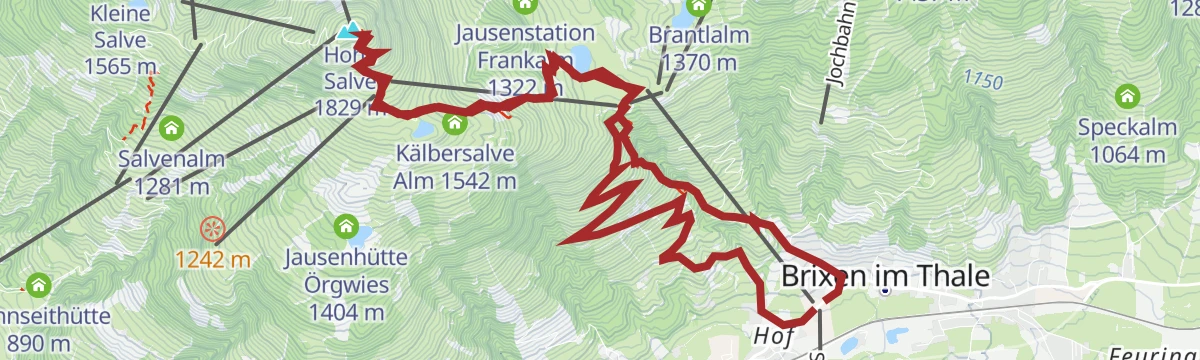
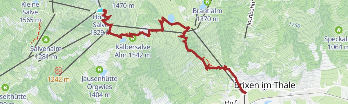
Brixen - Hohe Salve
Climb from Brixen im Thale to the Hohe Salve, whose summit chapel and panorama terrace survey the Wilder Kaiser and the High Tauern.
- 15.1 km
- Distance
- 1 040 m
- Ascent
- 6 h 57 min
- Duration
- 142
- Check-ins
Über Hochbrixen zum Hexenwasser
A long forest-road ride from Westendorf over the Hochbrixen slopes to Söll, calling at the Gründlalm, the Siller Alm and the Alpengasthof Hochsöll.
- 36.2 km
- Distance
- 991 m
- Ascent
- 4 h 9 min
- Duration
- 48
- Check-ins
Bike&Hike Kreuzjöchlsee-Brechhorn
A climb over the Kreuzjoch to the reservoir at 1,686 m and the Brechhornhaus, from where the Brechhorn is reached on foot.
- 15.0 km
- Distance
- 1 366 m
- Ascent
- 3 h 15 min
- Duration
- 36
- Check-ins
Umgebung: Alpinolino Holzwurmweg
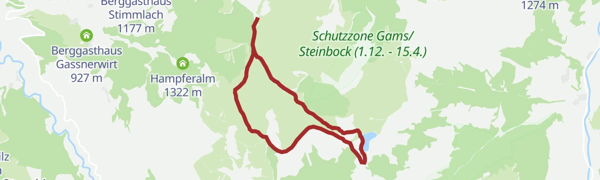
Level adventure trail in the Alpinolino area above Westendorf, running between the old mid-station, the Köhlerhütte and the Berggasthaus Stimmlach.
- 3.7 km
- Distance
- 0 m
- Ascent
- 1 h 21 min
- Duration
- 13
- Check-ins
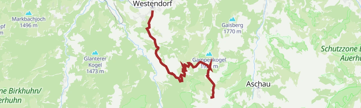
Gampenkogel
Panoramic ridge walk from the Talkaser lift station past the Speicherteich Kreuzjöchl and the Brechhornhaus, collecting the Laubkogel before an easy summit finish.
- 6.9 km
- Distance
- 409 m
- Ascent
- 2 h 51 min
- Duration
- 40
- Check-ins
Hohe Salve Vertical
Direct vertical challenge from Brixen im Thale straight up to the Hohe Salve summit, over 1,000 m of unrelenting ascent.
- 6.4 km
- Distance
- 1 035 m
- Ascent
- 5 h 54 min
- Duration
- 142
- Check-ins
1. Etappe KAT Bike Sport+
The opening stage of a multi-day mountain-bike route, climbing from Hopfgarten over the Kleine Salve past the Kälbersalve Alm.
- 25.0 km
- Distance
- 1 205 m
- Ascent
- 3 h 23 min
- Duration
- 45
- Check-ins
02 - Rund um die Salve und den Kaiser
A long road loop out of Scheffau down to Kufstein and back through Hopfgarten, passing the Erlensee on the return.
- 95.3 km
- Distance
- 1 074 m
- Ascent
- 9 h 28 min
- Duration
- 34
- Check-ins
Alpinolino Holzwurmweg
Almost level family path through the Alpinolino discovery park above Westendorf, with playful stations between the Alte Mittelstation and the Köhlerhütte.
- 3.7 km
- Distance
- 29 m
- Ascent
- 56 min
- Duration
- 13
- Check-ins
Höhenrundwanderung Kreuzjöchlsee
High loop from the Talkaser above Westendorf past the Brechhornhaus and the Kreuzjöchl reservoir, crossing the Kreuzjoch with steady panoramas.
- 7.5 km
- Distance
- 256 m
- Ascent
- 2 h 23 min
- Duration
- 39
- Check-ins
Brechhorn
Big Kitzbühel Alps round from the Alpenrosenbahn over the Kreuzjoch and the Höhningerscharte to a 2,032 m grass summit, with the Brechhornhaus for a rest on the way.
- 31.9 km
- Distance
- 1 608 m
- Ascent
- 11 h 45 min
- Duration
- 47
- Check-ins
Kleine Salvenbergrunde
A demanding forest-road round with over 2,000 m of climbing, taking in the Gasthof Kraftalm, Alpengasthof Rigi and the Kälbersalve Alm.
- 22.4 km
- Distance
- 2 138 m
- Ascent
- 5 h 2 min
- Duration
- 45
- Check-ins
Bike&Hike Gampenkogel
A long climb past the Innerfleidingalm and the Streitschlagalm to the Brechhornhaus at 1,661 m, with the summit reached on foot.
- 15.5 km
- Distance
- 1 211 m
- Ascent
- 2 h 59 min
- Duration
- 33
- Check-ins
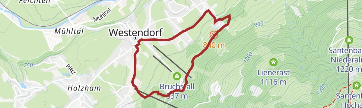
Umgebung: Wanderung am Wohlfühlweg
Easy 3.5 km walk around Westendorf, taking in the Wasserschlößl and the Bruchstall along the way.
- 3.5 km
- Distance
- 82 m
- Ascent
- 1 h 1 min
- Duration
- 6
- Check-ins
 Tourismusverband 786 m
- Dorfer 787 m
- Bruchstall 837 m
 Wasserschlößl 841 m
3 Seen Tour
Round over the Kleine Salve linking three mountain lakes, with hut stops from the Kälbersalve Alm to the Jausenhütte Örgwies along the way.
- 9.9 km
- Distance
- 534 m
- Ascent
- 3 h 49 min
- Duration
- 34
- Check-ins
Der Nachtsöllberg
A steep forest-and-meadow climb straight out of Westendorf, gaining just over 1,000 m to a quiet grassy top near the Choralpe; the Alpenrosenhuette offers a break on the way down.
- 6.0 km
- Distance
- 1 004 m
- Ascent
- 5 h 42 min
- Duration
- 41
- Check-ins
209 | Brechhornhaus-Choralpe
A steep climb from the Alpenrosenbahn base at 790 m to the Choralpe at 1,809 m, over the Höhningerscharte and past the Fleidingalm.
- 12.1 km
- Distance
- 1 073 m
- Ascent
- 2 h 34 min
- Duration
- 33
- Check-ins
21,14 | Salvenradrunde
A long circuit of the Hohe Salve on cycle paths and valley roads, linking the Brixental with Ellmau on the Wilder Kaiser side.
- 53.9 km
- Distance
- 687 m
- Ascent
- 5 h 25 min
- Duration
- 32
- Check-ins
Wohlfühlweg
Gentle village loop designed for slowing down, with rest stations between Westendorf's centre, the Bruchstall and the Wasserschlößl.
- 3.5 km
- Distance
- 101 m
- Ascent
- 1 h 4 min
- Duration
- 6
- Check-ins
- Tourismusverband 786 m
- Dorfer 787 m
- Bruchstall 837 m
- Wasserschlößl 841 m
Wanderung auf der Sonnenseite der Hohe Salve
Sunny-side traverse of the Salve massif, climbing past the Speichersee and the Kälberalm huts to the grassy Kleine Salve summit.
- 7.3 km
- Distance
- 550 m
- Ascent
- 3 h 35 min
- Duration
- 31
- Check-ins
Neukirchen: Kröndlhorn über Rotwand Grundalm
Five hours up from the Dürnbachtal road fork, past the Rotwand-Alm and the Reinkarsee and over the Filzenscharte to the 2,444 m Kröndlhorn.
- 14.3 km
- Distance
- 1 300 m
- Ascent
- 6 h 18 min
- Duration
- 23
- Check-ins
Große Salvenbergrunde
A long forest-road round above Hopfgarten, climbing past the Sunnseithütte to the Speichersee reservoir and the Kälbersalve Alm.
- 23.0 km
- Distance
- 1 144 m
- Ascent
- 3 h 11 min
- Duration
- 27
- Check-ins
7 Rund um die Hohe Salve
A valley-road loop right around the Hohe Salve massif, running by way of Kitzbühel, Ellmau and Hopfgarten in the Brixental.
- 57.5 km
- Distance
- 765 m
- Ascent
- 5 h 49 min
- Duration
- 31
- Check-ins
Zieplhof
Short pull from the village centre up to a sunny farm terrace above Westendorf, rewarded with Brixental views before an easy stroll back down.
- 3.4 km
- Distance
- 200 m
- Ascent
- 1 h 23 min
- Duration
- 6
- Check-ins
- Tourismusverband 786 m
- Dorfer 787 m
- Bruchstall 837 m
- Wasserschlößl 841 m
Wasserfallweg - Alpenrosensteig
From the Alpenrosenbahn a waterfall path climbs to the Alpenrosenhütte, continuing across alpine-rose slopes past the Fleidingalm and Sonnalm back down to Westendorf.
- 9.6 km
- Distance
- 631 m
- Ascent
- 4 h 16 min
- Duration
- 18
- Check-ins
Kröndlhorn - Reinkarsee
Demanding Windautal tour past the Rotwand-Alm to a cirque lake tucked in below the ridge, then on up to a 2,444 m summit cross on the Salzburg border.
- 13.5 km
- Distance
- 1 226 m
- Ascent
- 7 h 41 min
- Duration
- 22
- Check-ins
Salvenradrunde
A long, mostly flat circuit of the Hohe Salve on valley roads, linking Westendorf, Brixen im Thale and Ellmau at around 800 m.
- 62.4 km
- Distance
- 644 m
- Ascent
- 6 h 9 min
- Duration
- 23
- Check-ins
Salvenradrunde
A road and cycle-path round of the Hohe Salve from Hopfgarten, passing the Ellmauer Alm and the Waldhof Alm on the way.
- 62.7 km
- Distance
- 1 034 m
- Ascent
- 6 h 32 min
- Duration
- 31
- Check-ins
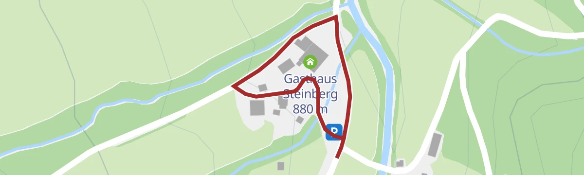
Wald-Themenweg am Steinberghaus
Miniature forest discovery loop beside the Gasthaus Steinberg in the Windautal, its stations on trees and woodland life pitched at small children.
- 367 m
- Distance
- 7 m
- Ascent
- 6 min
- Duration
- 5
- Check-ins
Berggasthaus Schrandlhof
Half-day round from Westendorf to a sunny mountain inn, going up via the Alte Mittelstation and the Gassnerwirt and looping home through the valley hamlets.
- 11.7 km
- Distance
- 536 m
- Ascent
- 4 h 4 min
- Duration
- 13
- Check-ins
Am Salvenberg
Long day across the sunny slopes below the Hohe Salve, connecting the Speichersee, the Kälbersalve Alm and the Filzalmsee moor lake before returning to Westendorf.
- 17.3 km
- Distance
- 966 m
- Ascent
- 6 h 50 min
- Duration
- 21
- Check-ins
208 | Filzenscharte - Rotwandalm
A long day through the Windautal to the Rotwand-Alm at 1,600 m, taking in the Gamskogelhütte and both Foisching alms.
- 45.5 km
- Distance
- 1 354 m
- Ascent
- 5 h 19 min
- Duration
- 17
- Check-ins
No routes of this kind in Westendorf yet.
The region's own picks

Featured route
Sonnenweg Hohe Salve
Short summit stroll from the gondola top station to the Gipfelalm on the Hohe Salve, whose 360-degree panorama takes in the Wilder Kaiser and the Hohe Tauern.
Planning a trip to Westendorf?
Everything else Tyrol has, in one place


Take Westendorf with you into the mountains
Every route on this page with 3D terrain, GPX navigation and offline maps — including the valleys with no signal.
Data sources
- Official website: kitzbueheler-alpen.com ↗
- Routes and highlights: Kitzbüheler Alpen Tourismus, Wilder Kaiser Tourismus, Kitzbühel Tourismus, Kaiserwinkl Tourismus, Kufsteinerland, Wildkogel-Arena
- Published as open data by the tourist boards named above.
- Region summary generated from the board's own material.
