
 Historic site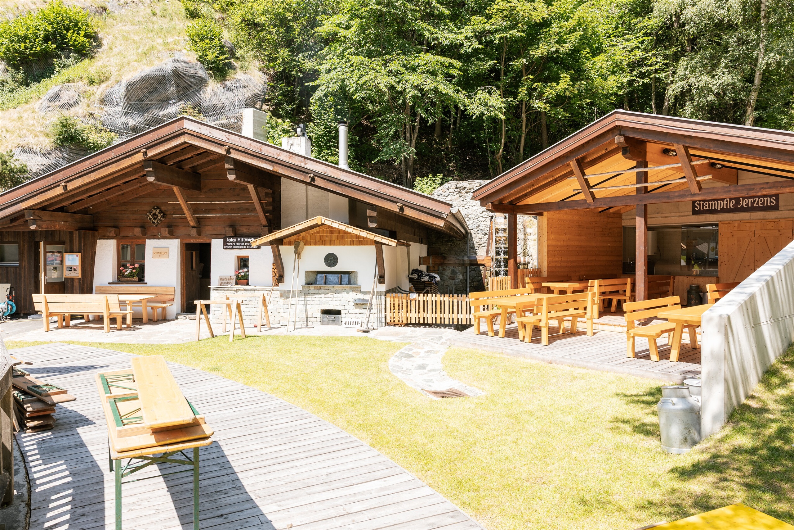














Curated by Tourismusverband Pitztal
Wenns
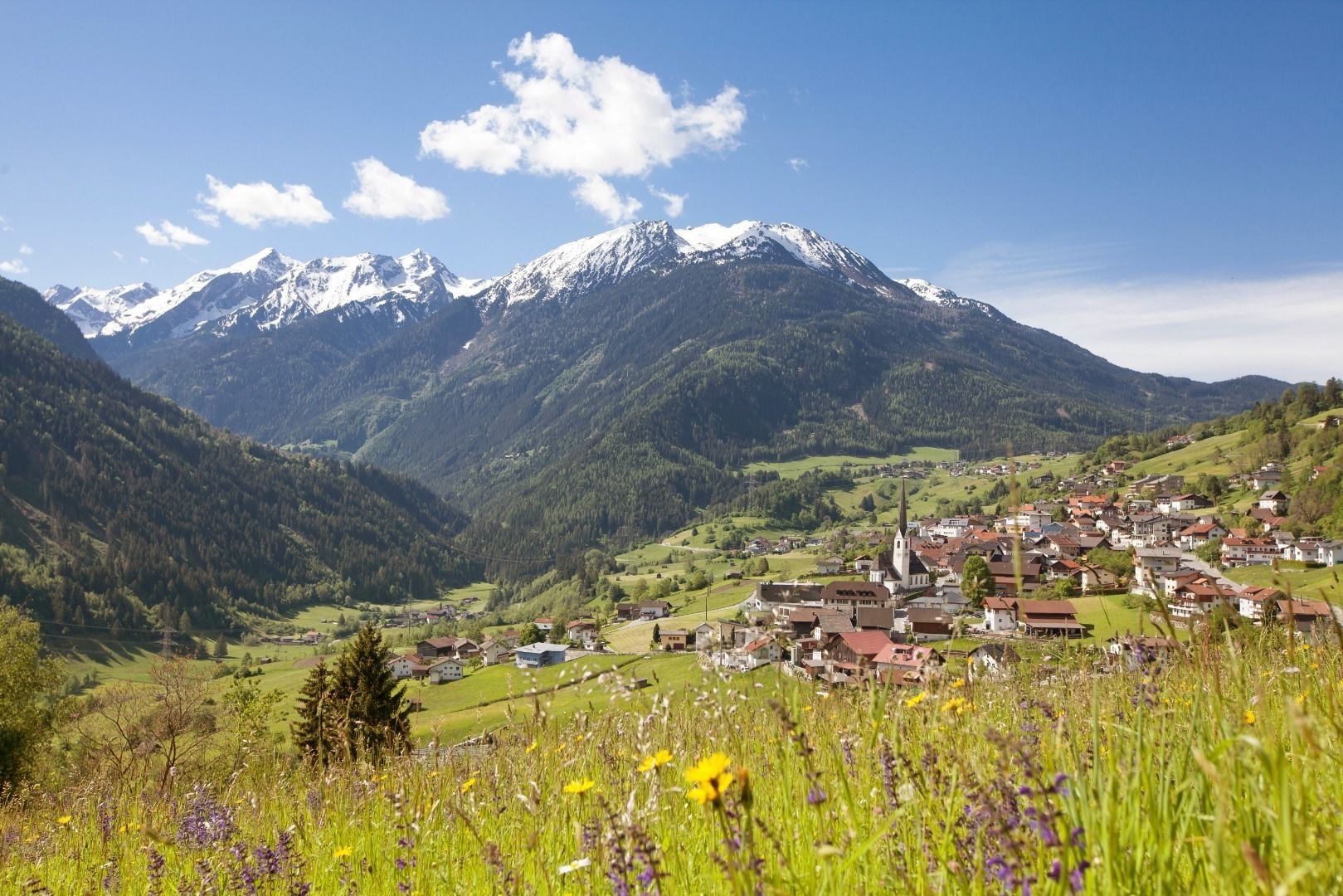
The main village of the lower Pitztal at just under 1000 m, terraced fields above the valley floor with the Stamser Haus museum and paths up to the Kieleberg alp.
- 9Highlights
- 53Routes
- Featured summit · Glanderspitze
Highlights
6 from neighbouring places
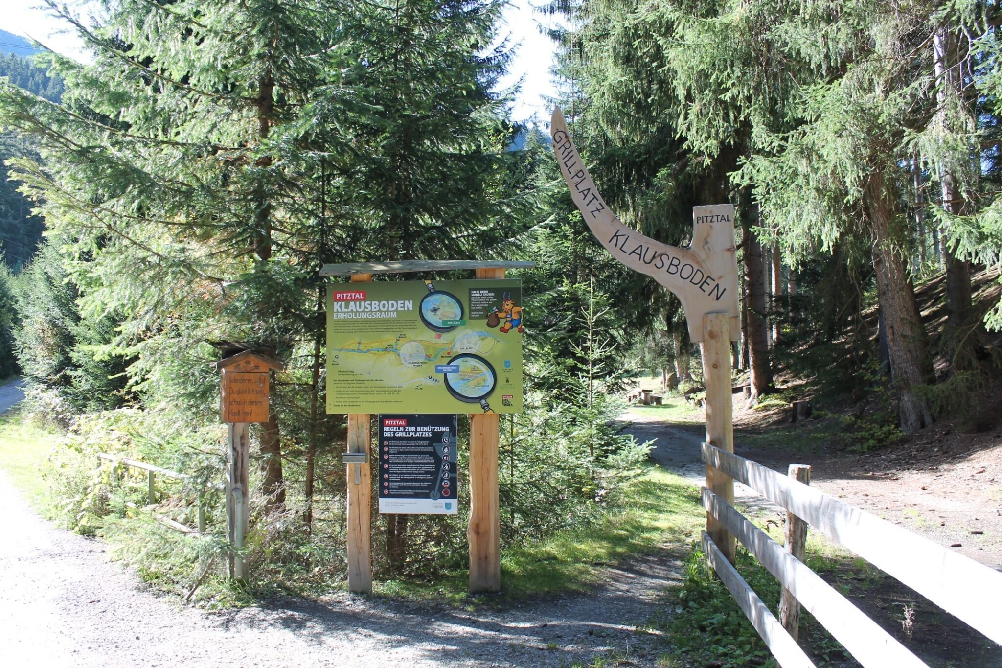
Erholungsraum Klausboden
A quiet recreation area at Klausboden on the Piller plateau, with benches and short walking loops.
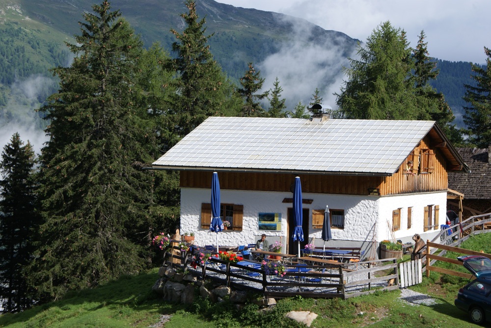
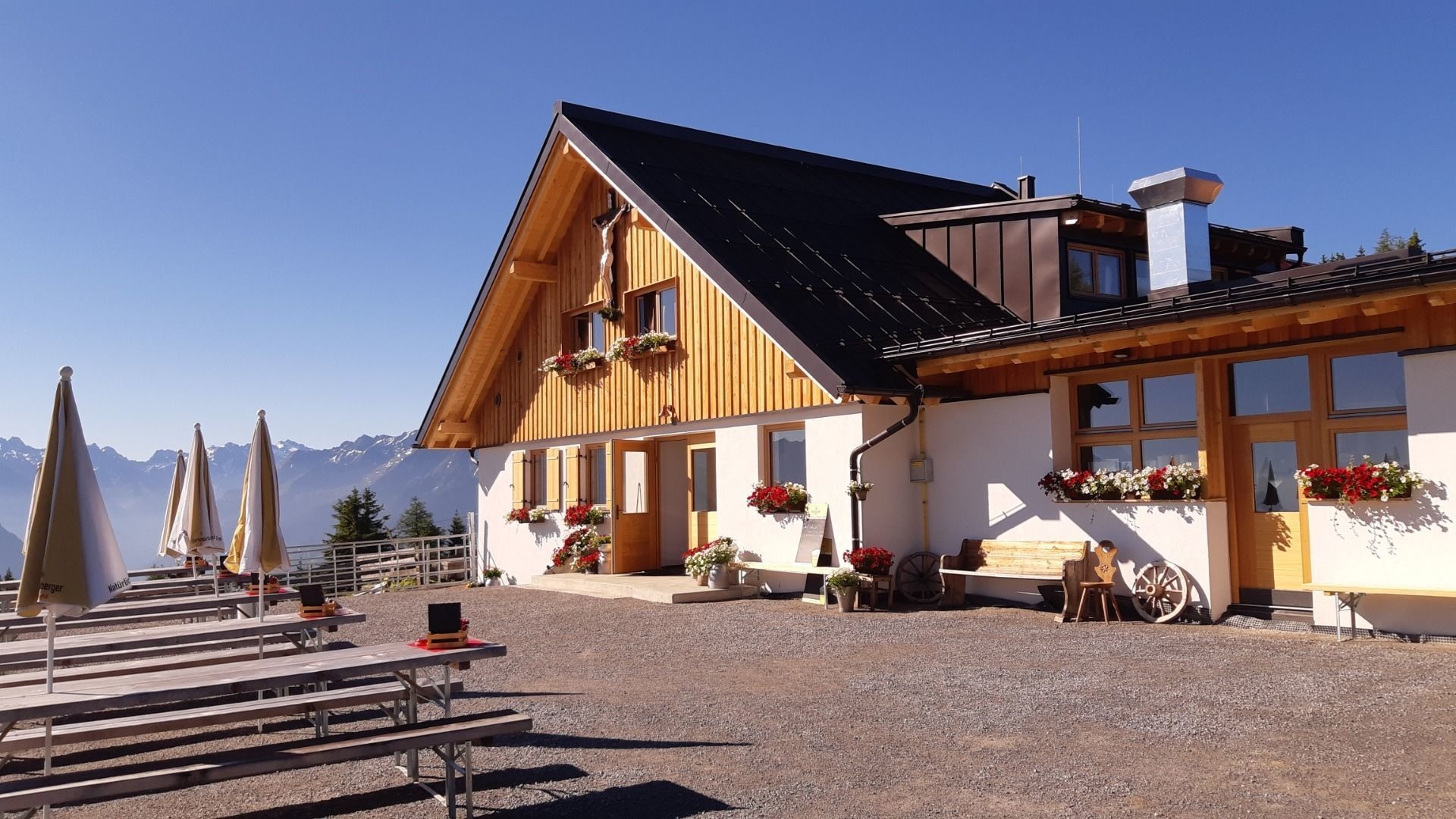
Kielebergalm (1.767 m)
An alpine pasture at 1,767 m between the Piller saddle and the Pitztal.
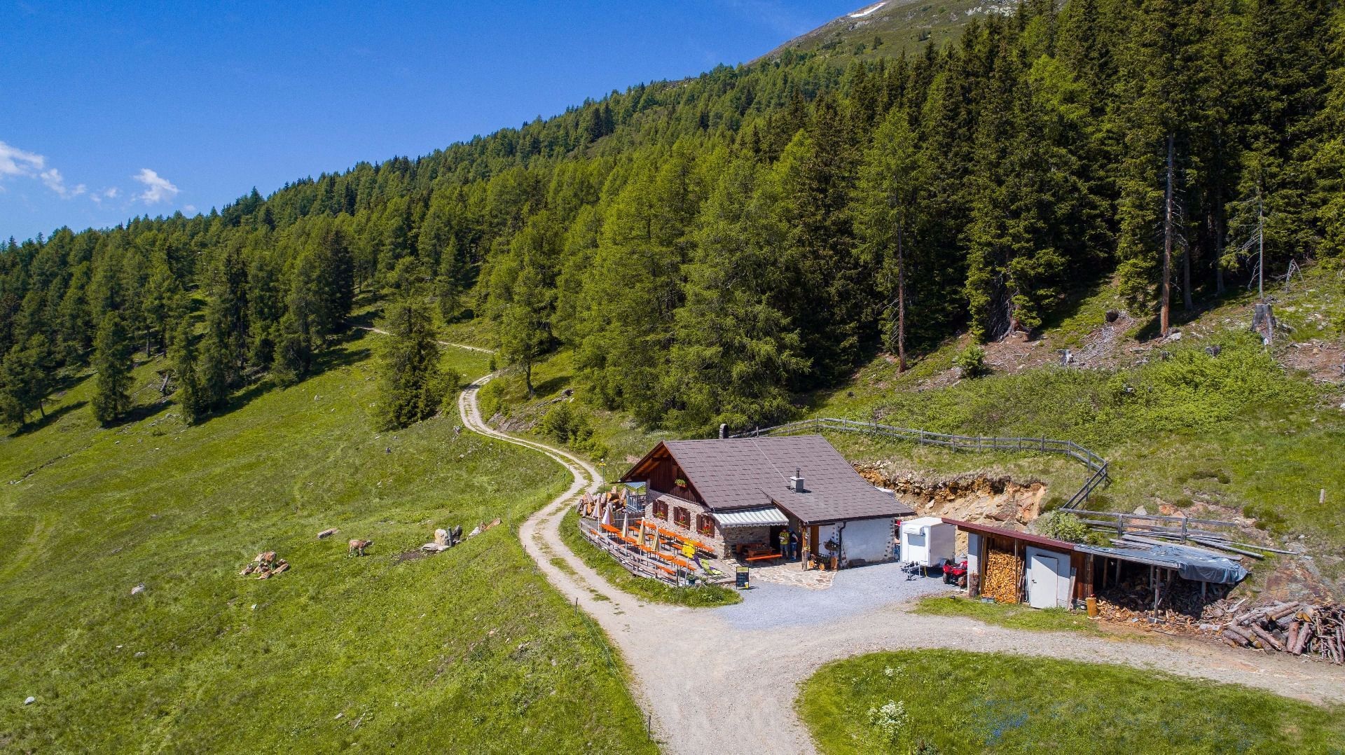
Larcher Alm (1.814 m)
An alpine pasture at 1,814 m on the Venet slope above Wenns.
Imsterberger Venetalm
An alpine pasture on the Venet slopes above Imsterberg, a summer refreshment stop for walkers in the Imst region.
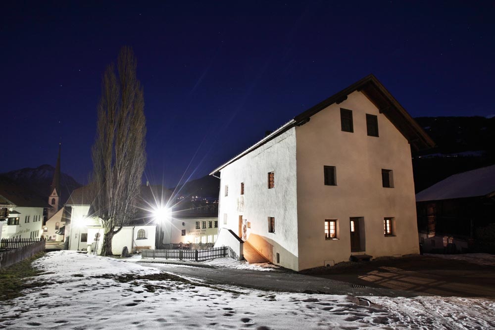
Museum Stamser Haus
A local museum in a historic house at Wenns, covering the valley's farming and building traditions.
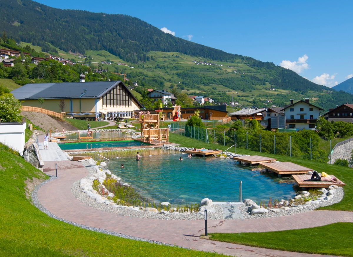
Pitz Park
An outdoor pool and playground at Wenns, open through the summer.
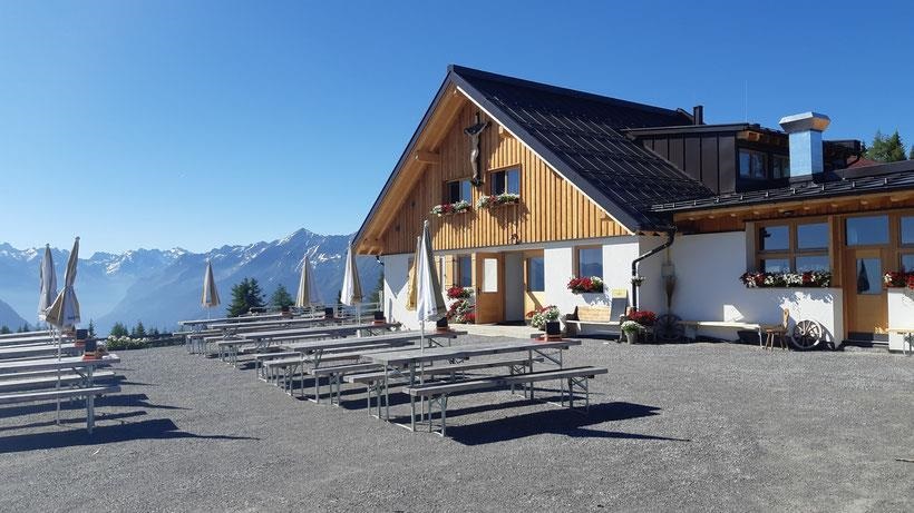
Venetalm (1.994 m)
An alpine pasture at 1,994 m on the Venet, the ridge separating the Pitztal from the Inn valley.
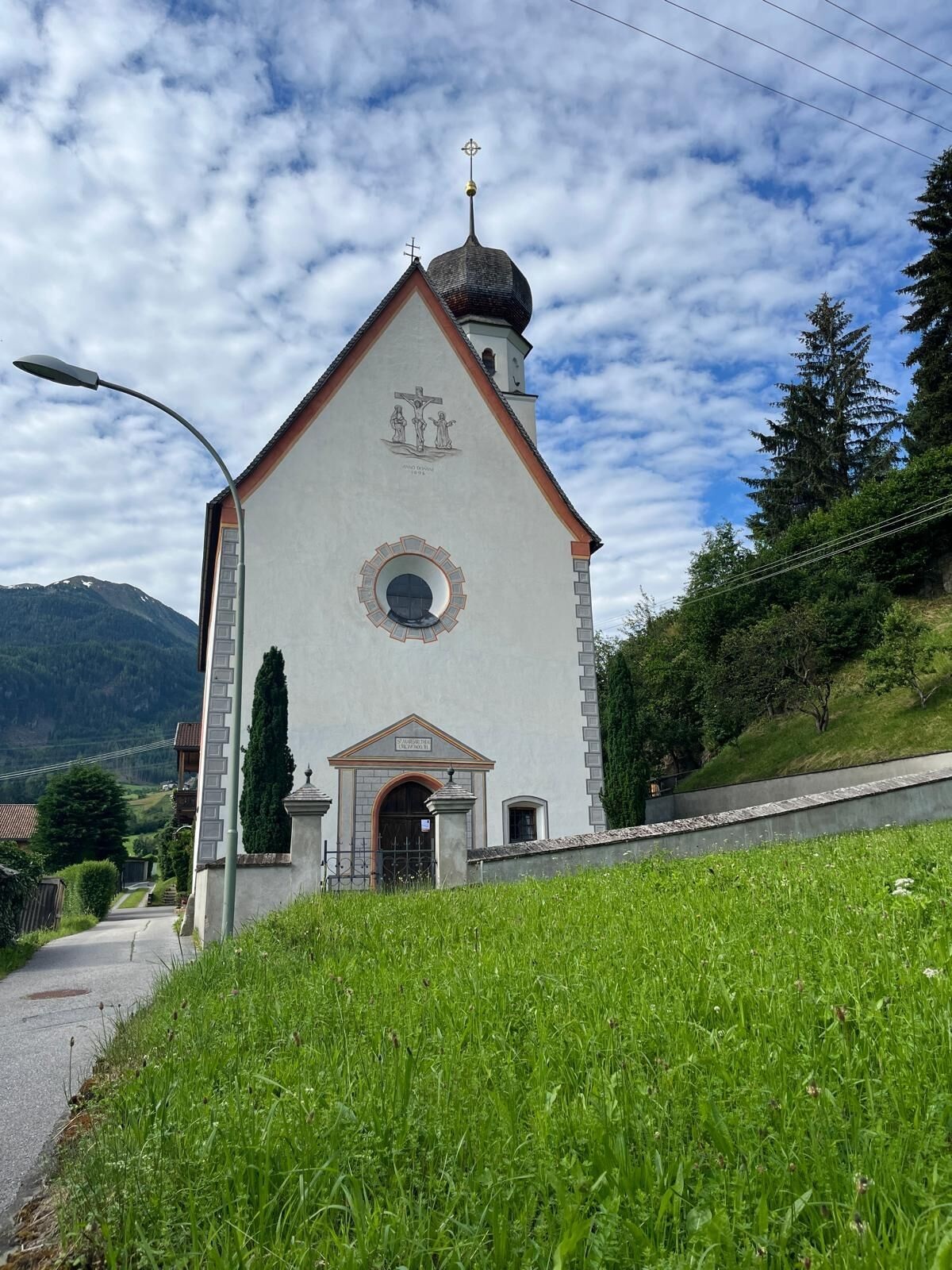
Margarethen Kirche Wenns
A second, older church at Wenns dedicated to St Margaret, on the southern edge of the village.
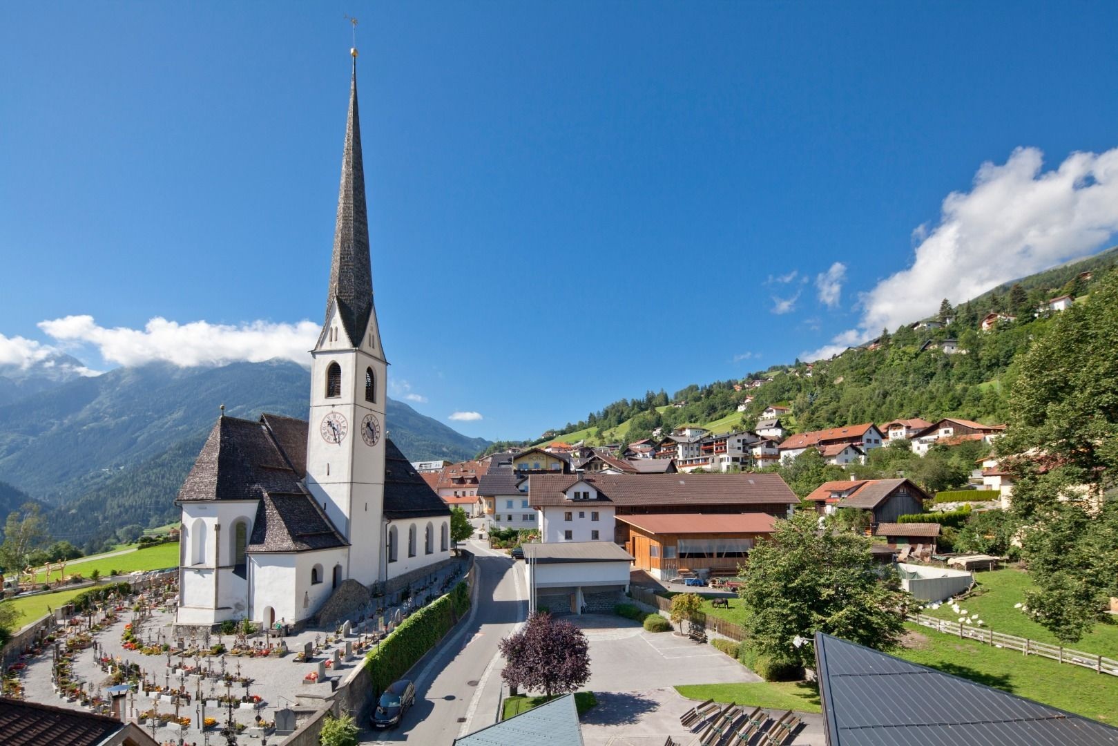
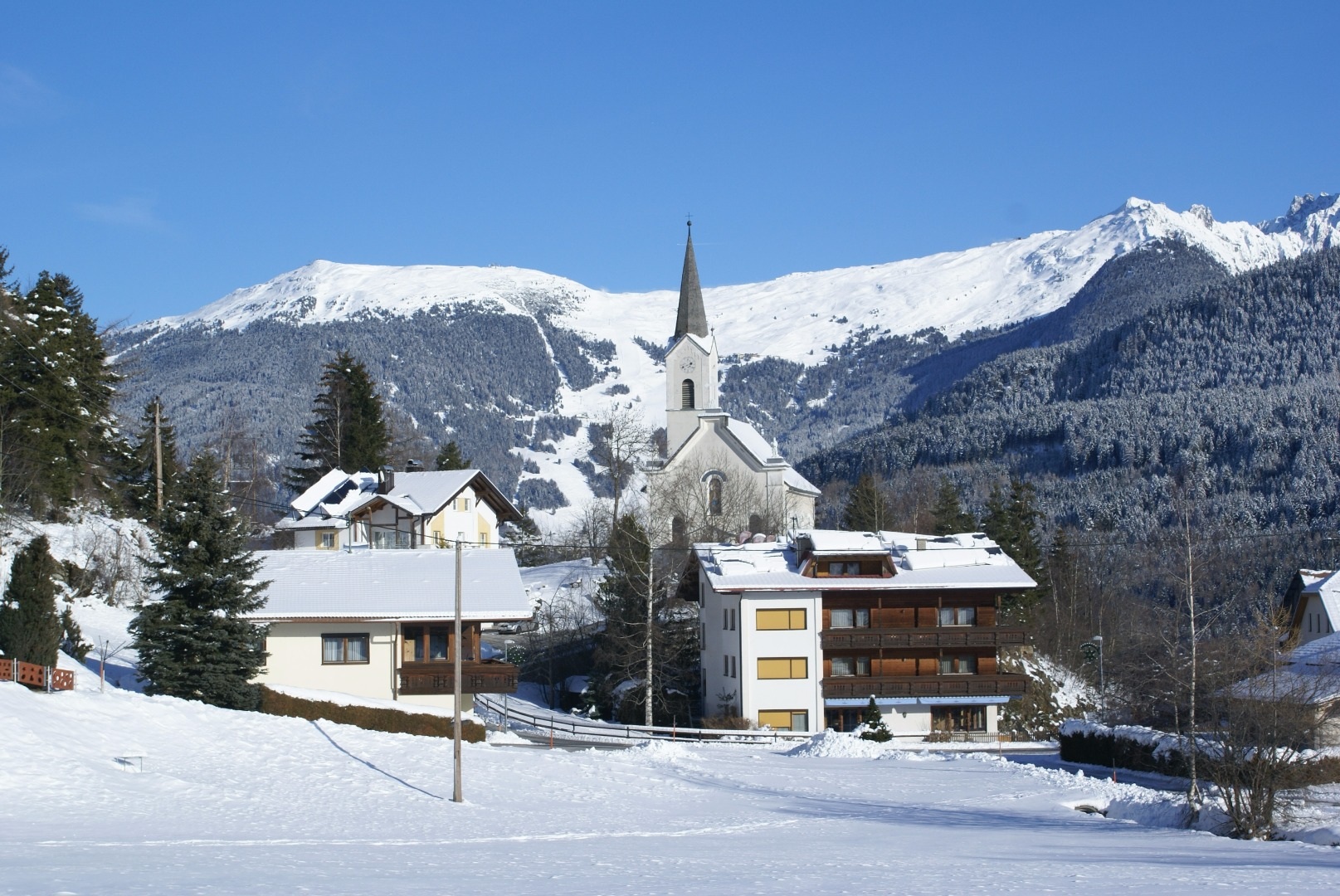
Pfarrkirche zu Ehren des Hl. Evangelisten Johannes in Wenns-Dorf
The parish church of Wenns, dedicated to St John the Evangelist.
Kaplaneikirche Maria Schnee in Piller
2.1 km away, in Fließ
The chaplaincy church of Piller, dedicated to Our Lady of the Snows.
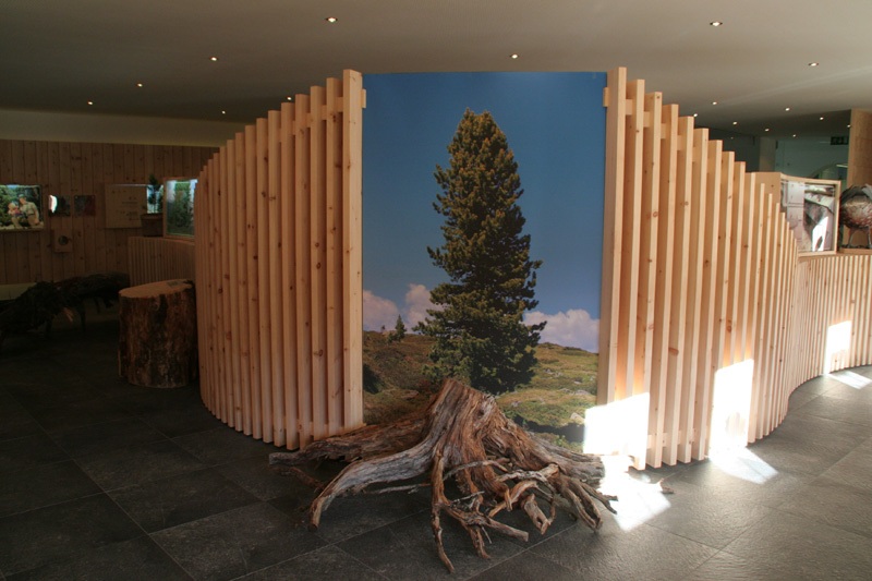
Zirbenausstellung
2.5 km away, in Jerzens
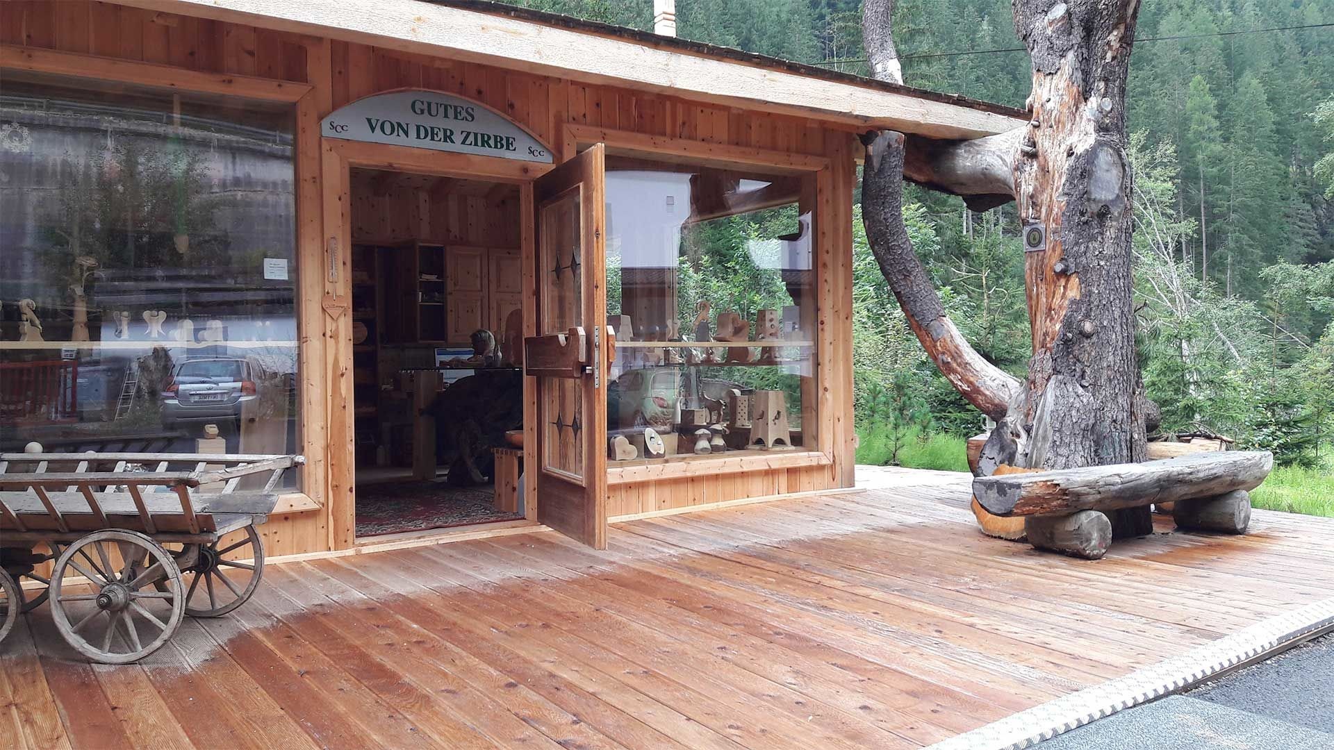
An exhibition at Jerzens on the stone pine — its timber, its oil and its role in the high forests here.
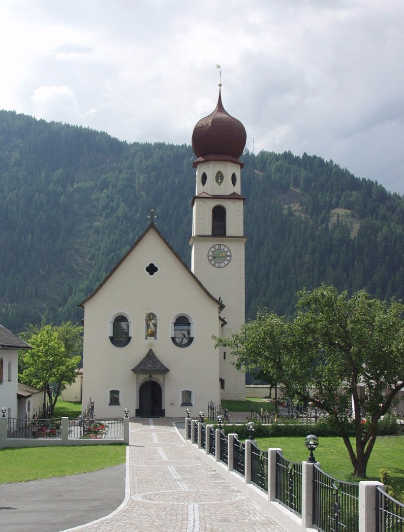
Pfarrkirche zum Hl. Gotthard Jerzens
2.5 km away, in Jerzens
The parish church of Jerzens, dedicated to St Gotthard.
Zirbenölgewinnung
2.6 km away, in Jerzens
A small distillery above Jerzens where oil is pressed from the cones of the stone pine.
Mühle Stampfle in Jerzens
2.7 km away, in Jerzens
A mill at Jerzens first recorded in 1582 and since restored, known locally as the Stampfle.
Bichlkapelle
2.8 km away, in Jerzens
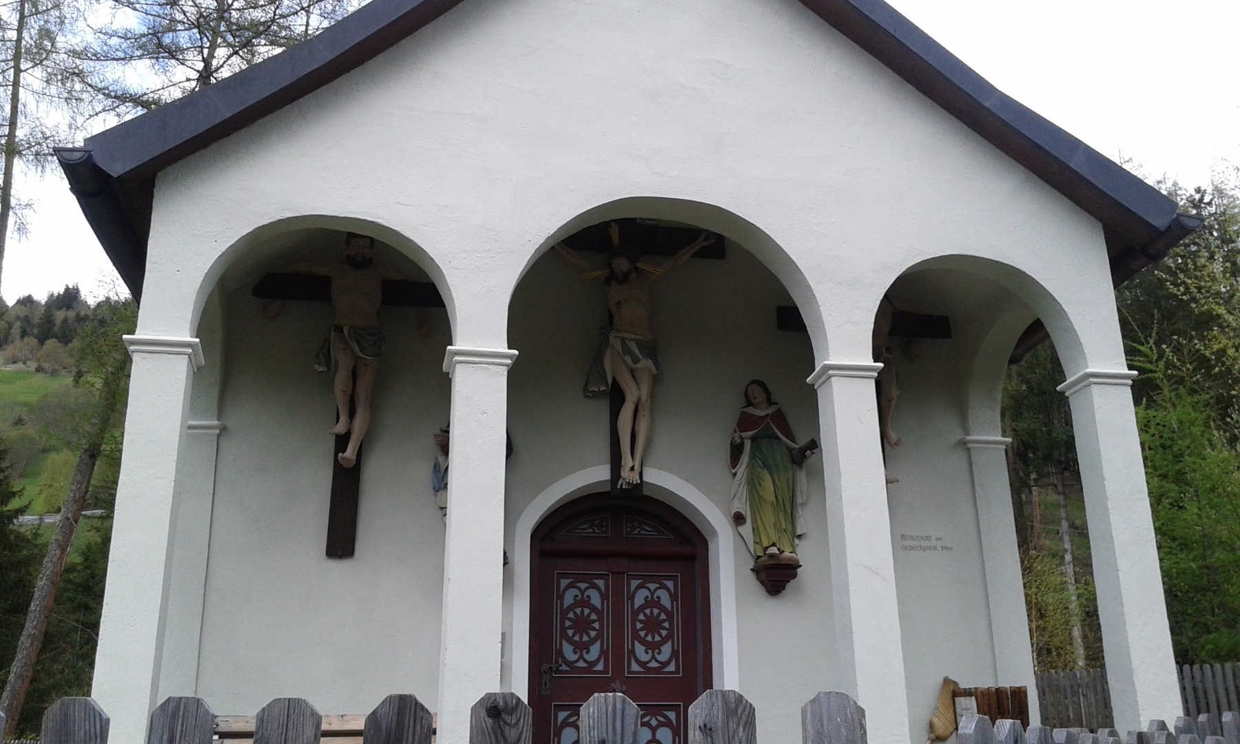
A small hill chapel above Jerzens, on the path between the village and its outlying farms.
Nothing of this kind in Wenns.
Routes
50 routes, an even mix of activities · see the rest on pitztal.com ↗
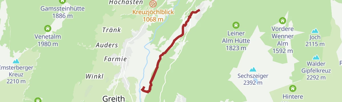
Gogles Alm - Larcher Alm
Level high path from the Gogles Alm to the Larcher Alm above Fließ, with the Galflun Alm on the way.
- 4.3 km
- Distance
- 132 m
- Ascent
- 1 h 32 min
- Duration
- 21
- Check-ins
3-Almen-Wanderung
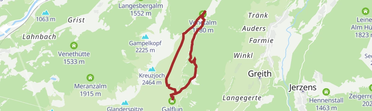
High path on the Venet joining three pastures, the Larcher Alm, Venetalm and Galflun Alm, 8.8 km with 500 m of climb through alpenrose slopes.
- 8.8 km
- Distance
- 501 m
- Ascent
- 3 h 30 min
- Duration
- 15
- Check-ins
Venet-Rundwanderweg - Start Audershof/Wenns
A full circuit of the Venet massif from Audershof above Wenns, stringing together the Glanderspitze, Kreuzjoch and a chain of alms — Gogles, Larcher, Venetalm, Galflun — in one very long panoramic day.
- 26.0 km
- Distance
- 1 475 m
- Ascent
- 10 h 24 min
- Duration
- 55
- Check-ins
Venetalm
A 919 m snowshoe climb over snow-covered meadows to the Venetalm above Imsterberg.
- 5.6 km
- Distance
- 919 m
- Ascent
- 0 m
- Descent
- 2 h 39 min
- Duration
- 5
- Check-ins
Graveltour Pitztal Panorama
A long, low-gradient tour along the Pitztal between Arzl and St. Leonhard, with barely 300 m of climbing spread over 40 km.
- 40.2 km
- Distance
- 1 287 m
- Ascent
- 4 h 25 min
- Duration
- 40
- Check-ins
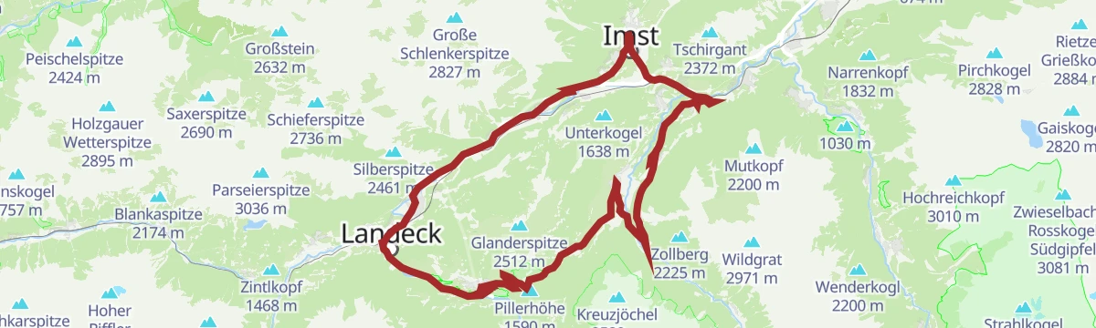
Piller Runde
A long road loop over the Pillerhöhe, dropping to Prutz in the Inn valley and climbing again to Fiss, with over 2,000 m of ascent.
- 83.9 km
- Distance
- 2 090 m
- Ascent
- 9 h 25 min
- Duration
- 33
- Check-ins
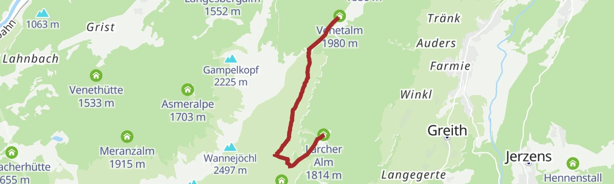
Larcher Alm - Venetalm
Easy link across the Venet slopes between the Larcher Alm and the Venetalm, 4.6 km with under 300 m of climb.
- 4.6 km
- Distance
- 297 m
- Ascent
- 1 h 40 min
- Duration
- 13
- Check-ins
Panoramawanderung Larcher Alm
Ridge-side round of 10.8 km with 753 m of climb linking the Larcher Alm and the Venetalm above Wenns.
- 10.8 km
- Distance
- 749 m
- Ascent
- 4 h 59 min
- Duration
- 13
- Check-ins
Venet-Rundwanderweg - Start Plattenrain/Arzl
The Venet circuit begun from Plattenrain above Arzl: a very long ridge-and-alm round over the Glanderspitze and Kreuzjoch, with the Gogles, Larcher, Venet and Galflun alms spaced along the way.
- 26.0 km
- Distance
- 1 476 m
- Ascent
- 10 h 24 min
- Duration
- 55
- Check-ins
Pitztal Bike 614
A long valley route running the length of the Pitztal, from the upper hamlets at 1,670 m down past St. Leonhard towards the valley entrance.
- 39.9 km
- Distance
- 290 m
- Ascent
- 4 h 11 min
- Duration
- 40
- Check-ins
Larcher Alm - Venetalm durch den Zirbenwald
Under 3 km from the Larcher Alm up to the Venetalm through old stone pine woodland, with 216 m of climb.
- 2.9 km
- Distance
- 216 m
- Ascent
- 1 h 5 min
- Duration
- 13
- Check-ins
Matzlewald - Kielebergalm - Naturparkhaus am Gachenblick
A 10.6 km route from the Matzlewald over the Kielebergalm and the Pillerhöhe to the Naturparkhaus at Gachenblick, 736 m of climb.
- 10.6 km
- Distance
- 707 m
- Ascent
- 3 h 55 min
- Duration
- 11
- Check-ins
Audershof - Larcher Alm - Galflun Alm – Kreuzjoch - Audershof
Demanding 14.4 km circuit from Audershof with 1,207 m of climb over the Larcher Alm and Galflun Alm to the Wannejöchl and Kreuzjoch.
- 14.4 km
- Distance
- 1 155 m
- Ascent
- 7 h 22 min
- Duration
- 23
- Check-ins
Gravelrunde Venetmassiv
A gravel loop around the Venet massif crossing the Pillerhöhe at 1,559 m, with the Gachenblick and the Gasthof Kronburg on the way back.
- 56.6 km
- Distance
- 1 203 m
- Ascent
- 6 h 11 min
- Duration
- 20
- Check-ins
 Pillerhöhe 1 590 m
 Pillerhöhe 1 559 m
 Gachenblick 1 576 m
- Gasthof Kronburg 938 m
- Info-Point Pitztal 750 m
 Zweiter Weiher 920 m
- +2
Galflun Alm
Almost level 3.9 km traverse from the Venetalm across to the Galflun Alm, with under 100 m of climb.
- 3.8 km
- Distance
- 95 m
- Ascent
- 1 h 10 min
- Duration
- 7
- Check-ins
Panoramawanderung Kielebergalm
Walk over the Pillerhöhe to the Kielebergalm, with the Gachenblick lookout along the way and 327 m of climbing in all.
- 10.6 km
- Distance
- 291 m
- Ascent
- 3 h 37 min
- Duration
- 11
- Check-ins
Almenwanderung am Venet
Harder hut-to-hut round on the Venet, 12.9 km and 933 m of climbing linking the Gogles Alm, the Larcher Alm and the Fließer Schihütte.
- 12.9 km
- Distance
- 826 m
- Ascent
- 5 h 37 min
- Duration
- 21
- Check-ins
Pillerrunde
A big loop through the Inn valley and the Pitztal mouth, climbing over the Pillerhöhe pass before the run back to Imst.
- 65.8 km
- Distance
- 1 587 m
- Ascent
- 7 h 20 min
- Duration
- 11
- Check-ins
Imsterberger Kreuz
Short 2.9 km walk from the Venetalm over the Imsterbergjoch to the cross on the ridge, 215 m of climb with views to both sides.
- 2.9 km
- Distance
- 216 m
- Ascent
- 1 h 24 min
- Duration
- 6
- Check-ins
Klausboden - Naturparkhaus am Gachenblick
From Klausboden a 448 m climb over the Pillerhöhe to the Naturparkhaus at Gachenblick, 5.2 km one way.
- 5.2 km
- Distance
- 426 m
- Ascent
- 2 h 6 min
- Duration
- 9
- Check-ins
Taschen - Galflun Alm - Larcher Alm – Gstoanigkapelle - Taschen
Round of 12.2 km from Taschen with 914 m of climb over the Galflun Alm and Larcher Alm, coming back by the Gstoanigkapelle.
- 12.2 km
- Distance
- 852 m
- Ascent
- 5 h 41 min
- Duration
- 10
- Check-ins
Imsterberger Venetrunde (Nr. 604|640|614)
A circuit on the Venet from Imsterberg, climbing to the Venetalm at 1,980 m by the Gamsstein hut.
- 36.6 km
- Distance
- 1 382 m
- Ascent
- 4 h 33 min
- Duration
- 8
- Check-ins
Alte Straße nach Wenns
An easy 4 km walk from Arzl to Wenns along the course of the old valley road.
- 4.0 km
- Distance
- 195 m
- Ascent
- 1 h 22 min
- Duration
- 1
- Check-ins
Wanderung zur Kielebergalm
A 9.8 km approach climbing 652 m to the Kielebergalm on the mountainside above Wenns.
- 9.8 km
- Distance
- 632 m
- Ascent
- 4 h 17 min
- Duration
- 2
- Check-ins
Rundwanderung Klausboden - Kielebergalm - Aifnerspitze – Aifner Alm
Demanding 14.8 km round from Klausboden with nearly 1,300 m of climb by the Kielebergalm to the Kleine Aifnerspitze and down past the Aifner Alm.
- 14.8 km
- Distance
- 1 280 m
- Ascent
- 8 h 8 min
- Duration
- 9
- Check-ins
640 | Venetalm mit Larcher Alm Variante
A long forest-road climb from Wenns up to the Venetalm, with the marked variant taking in a second alm lower on the climb.
- 17.5 km
- Distance
- 1 900 m
- Ascent
- 3 h 42 min
- Duration
- 5
- Check-ins
Happy Track
Easy 5.7 km circuit on the valley slopes at Wenns with 168 m of climb, starting by the Pitztal tourist office.
- 5.7 km
- Distance
- 159 m
- Ascent
- 1 h 43 min
- Duration
- 1
- Check-ins
Herbstwanderung Wenns
An 8.5 km autumn route above Wenns with 463 m of climb, moderate walking suited to cool, clear days.
- 8.5 km
- Distance
- 353 m
- Ascent
- 2 h 52 min
- Duration
- 1
- Check-ins
Rundwanderung Landschaftsteich Piller - Aifner Alm – Kreuzjöchl – Kielebergalm
Demanding 16 km round from the Piller pond by the Aifner Alm over the Kreuzjöchel to the Kielebergalm, with nearly 1,400 m of climbing.
- 16.1 km
- Distance
- 1 316 m
- Ascent
- 8 h 26 min
- Duration
- 7
- Check-ins
Wenns - Venetalm (Nr. 640)
The direct line up to the Venetalm from the valley floor, close to 1,000 m of climbing in under eight kilometres.
- 7.5 km
- Distance
- 947 m
- Ascent
- 1 h 27 min
- Duration
- 5
- Check-ins
Rundwanderung Bieracker
Easy 4.5 km loop over the Bieracker fields at Wenns, with 163 m of climb and no steep ground.
- 4.5 km
- Distance
- 131 m
- Ascent
- 1 h 23 min
- Duration
- 1
- Check-ins
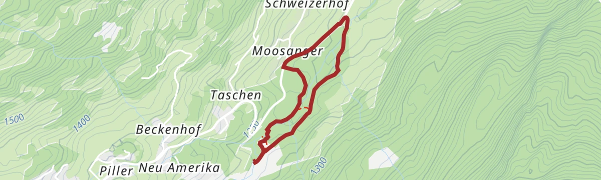
Klausboden Runde Groß
Larger of the two Klausboden circuits, 9.3 km with 363 m of climb on the terraces above the mouth of the Pitztal.
- 9.3 km
- Distance
- 286 m
- Ascent
- 2 h 53 min
- Duration
1) Kieleberg Alm und Aifner Alm
Demanding 14.3 km day linking the Kielebergalm and the Aifner Alm, with 1,247 m of climb on the sunny flank above Wenns.
- 14.4 km
- Distance
- 1 244 m
- Ascent
- 7 h 53 min
- Duration
- 6
- Check-ins
Gravelrunde Vorderes Pitztal
A gravel round of the lower Pitztal, with the Kreuzjöchl lookout above the valley road.
- 33.0 km
- Distance
- 711 m
- Ascent
- 3 h 36 min
- Duration
- 4
- Check-ins
Rundwanderung Steinhof
Easy 5.7 km round by the Steinhof at Wenns, gently graded with 136 m of climb.
- 5.7 km
- Distance
- 121 m
- Ascent
- 1 h 38 min
- Duration
- 1
- Check-ins
Klausboden Runde Klein
Shorter of the Klausboden rounds, 7.3 km with 202 m of climb, mostly on farm tracks and meadow paths.
- 7.3 km
- Distance
- 167 m
- Ascent
- 2 h 7 min
- Duration
3) Kieleberg und Aifner Alm
A 13.6 km round over the Kieleberg linking the Kielebergalm with the Aifner Alm, with just over 1,000 m of ascent.
- 13.6 km
- Distance
- 989 m
- Ascent
- 6 h 31 min
- Duration
- 6
- Check-ins
Pitztalrunde
A circuit of the lower Pitztal from Jerzens, out to the Inn valley and back up the other side.
- 35.7 km
- Distance
- 997 m
- Ascent
- 4 h 7 min
- Duration
- 4
- Check-ins
3) Klausboden - Rundwanderung
Very short 2.5 km loop at Klausboden with barely 56 m of climb, enough for an easy hour outdoors.
- 2.5 km
- Distance
- 45 m
- Ascent
- 41 min
- Duration
Matzlewald - Fernsehturm ORF – Sender Klapf - Matzlewald
A 6 km round from the Matzlewald up to the ORF transmitter at Klapf and back down, with 378 m of climb.
- 6.0 km
- Distance
- 353 m
- Ascent
- 2 h 28 min
- Duration
Wenns - Oberleins - Jausenstation Waldeck - Wenns
Long 16.7 km circuit from Wenns by way of Oberleins to the Jausenstation Waldeck and back, with 720 m of climb.
- 16.7 km
- Distance
- 663 m
- Ascent
- 5 h 33 min
- Duration
- 1
- Check-ins
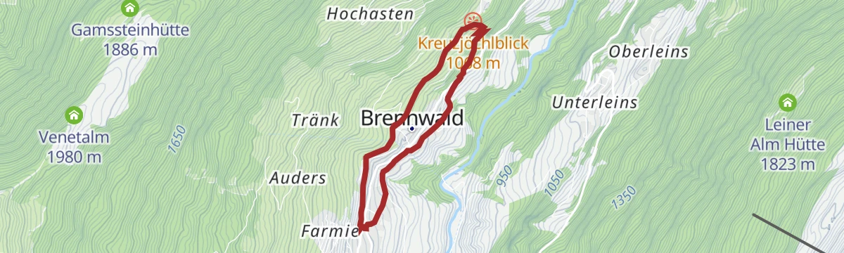
683 | Rundtour vorderes Pitztal
A circuit on the forest roads of the lower Pitztal from Wenns, taking in the Kreuzjöchlblick viewpoint above the valley floor.
- 32.8 km
- Distance
- 972 m
- Ascent
- 3 h 50 min
- Duration
- 1
- Check-ins
Rundwanderung Eggmahd
Short 3.6 km loop across the Eggmahd meadows above Wenns, with 118 m of climb.
- 3.6 km
- Distance
- 91 m
- Ascent
- 1 h 4 min
- Duration
Pitzenhöfe - Leins - retour
Out-and-back of 7.4 km from the Pitzenhöfe to the hamlet of Leins, with 306 m of climb.
- 7.4 km
- Distance
- 277 m
- Ascent
- 2 h 25 min
- Duration
Rundwanderung Klausboden
Small circuit of 2.5 km at Klausboden, near-level walking with just 66 m of climb.
- 2.5 km
- Distance
- 53 m
- Ascent
- 43 min
- Duration
Rundwanderung Leins - Wenns - Arzl-Ried
An 8.3 km round joining Leins, Wenns and Arzl-Ried, with 326 m of ascent.
- 8.3 km
- Distance
- 276 m
- Ascent
- 2 h 38 min
- Duration
Rundwanderung Wiesle
Easy 4.8 km round by Wiesle above Wenns, with 215 m of climb on quiet paths.
- 4.7 km
- Distance
- 201 m
- Ascent
- 1 h 36 min
- Duration
Wald und Wiesenwanderung Klausboden
A 10.6 km walk from Klausboden alternating between woodland and open pasture, with a modest 288 m of climb.
- 10.6 km
- Distance
- 221 m
- Ascent
- 3 h 1 min
- Duration
Wanderung von Jerzens nach Wenns
An easy 3.9 km descent from Jerzens down the valley to Wenns.
- 3.9 km
- Distance
- 126 m
- Ascent
- 1 h 21 min
- Duration
Wanderung nach Graslehn/Steinhof
A 9.2 km walk from Jerzens up to Graslehn and the Steinhof, gaining 528 m.
- 9.2 km
- Distance
- 504 m
- Ascent
- 3 h 35 min
- Duration
No routes of this kind in Wenns yet.
The region's own picks

Featured route
Gogles Alm - Larcher Alm
Level high path from the Gogles Alm to the Larcher Alm above Fließ, with the Galflun Alm on the way.
Planning a trip to Wenns?
Everything else Tyrol has, in one place


Take Wenns with you into the mountains
Every route on this page with 3D terrain, GPX navigation and offline maps — including the valleys with no signal.
Data sources
- Official website: pitztal.com ↗
- Routes and highlights: Tourismusverband Pitztal, Imst Tourismus, Serfaus-Fiss-Ladis
- Published as open data by the tourist boards named above.
- Region summary generated from the board's own material.
