
 Historic site
 Viewpoint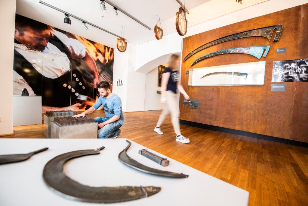
















 Summit
Pöstlingberg
via OÖ Mariazellerweg: A: Klassischer OÖ Mariazellerweg über Steyr und Waidhofen an der Ybbs
Curated by Ybbstaler Alpen
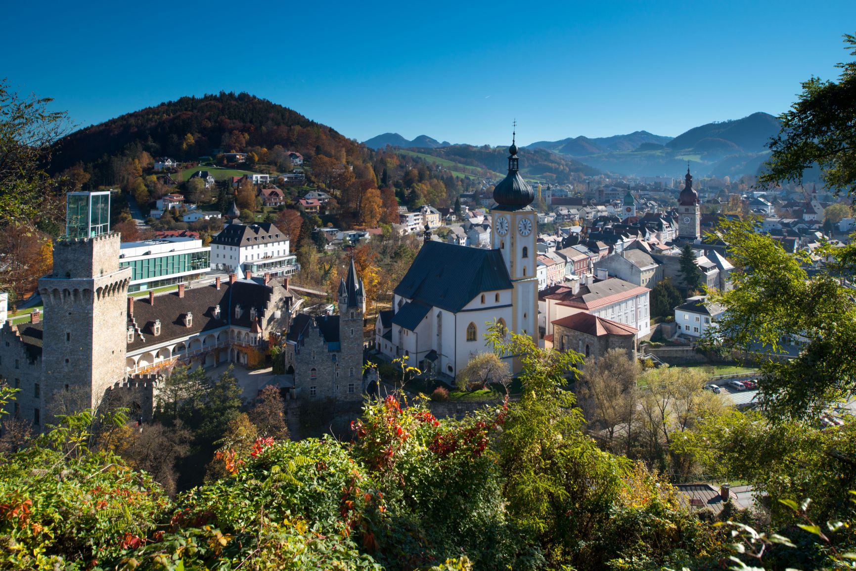
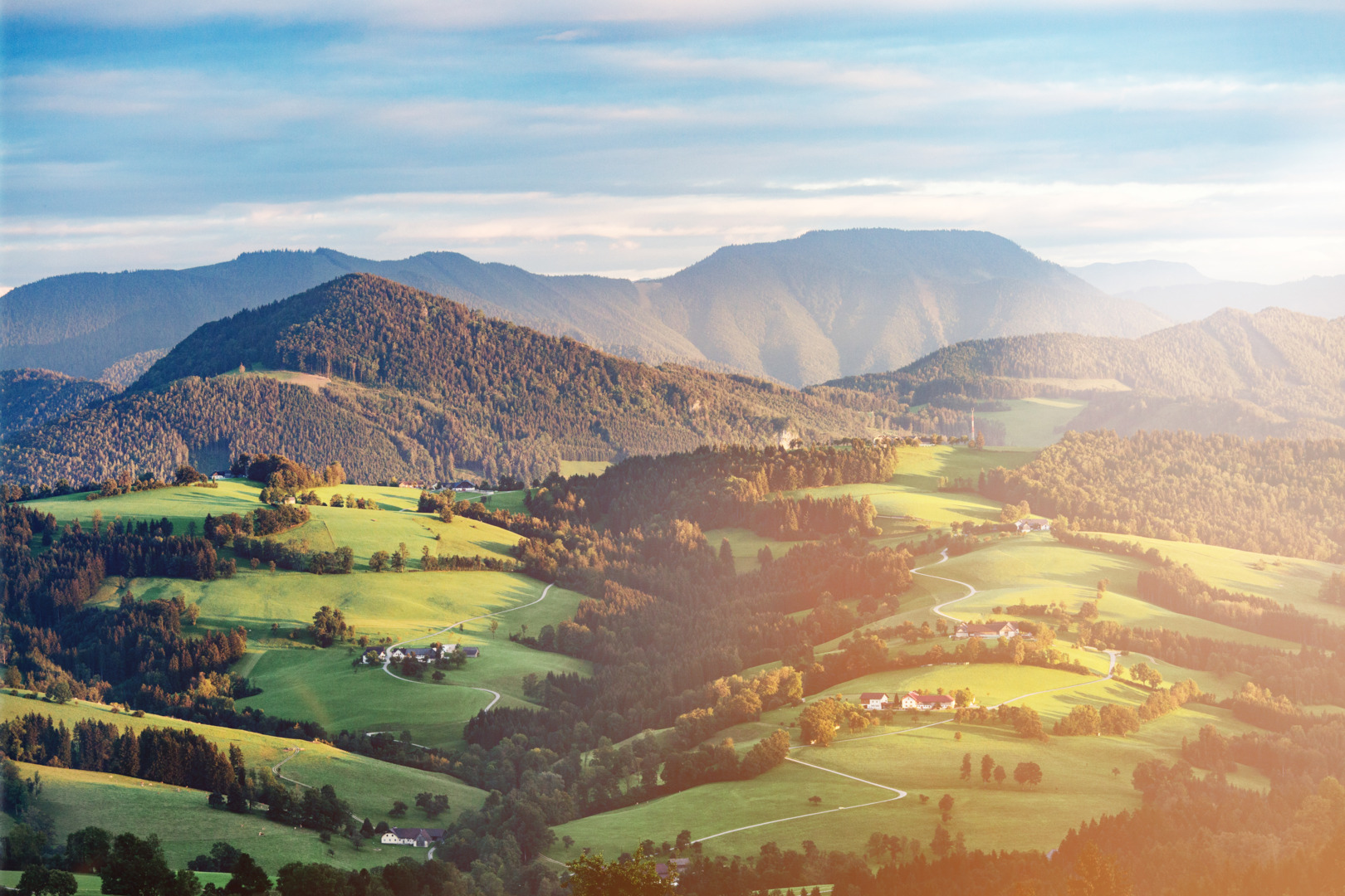
An iron-working town in the lower Ybbstal at about 360 m, its wealth built on centuries of the iron trade and now the gateway to the Ybbstal nature park.
Photo: C.Stadler/Bwag licence
9 from neighbouring places
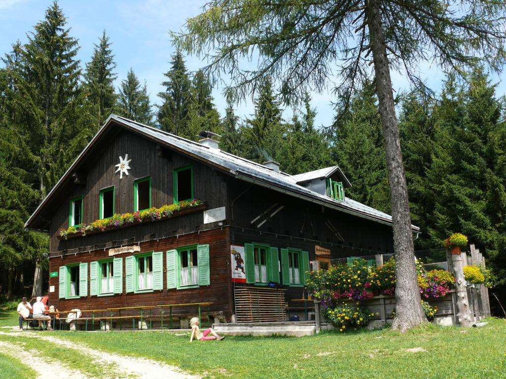
A mountain hut in the Ybbstal Alps south of Waidhofen an der Ybbs, run by the alpine club section from Amstetten.
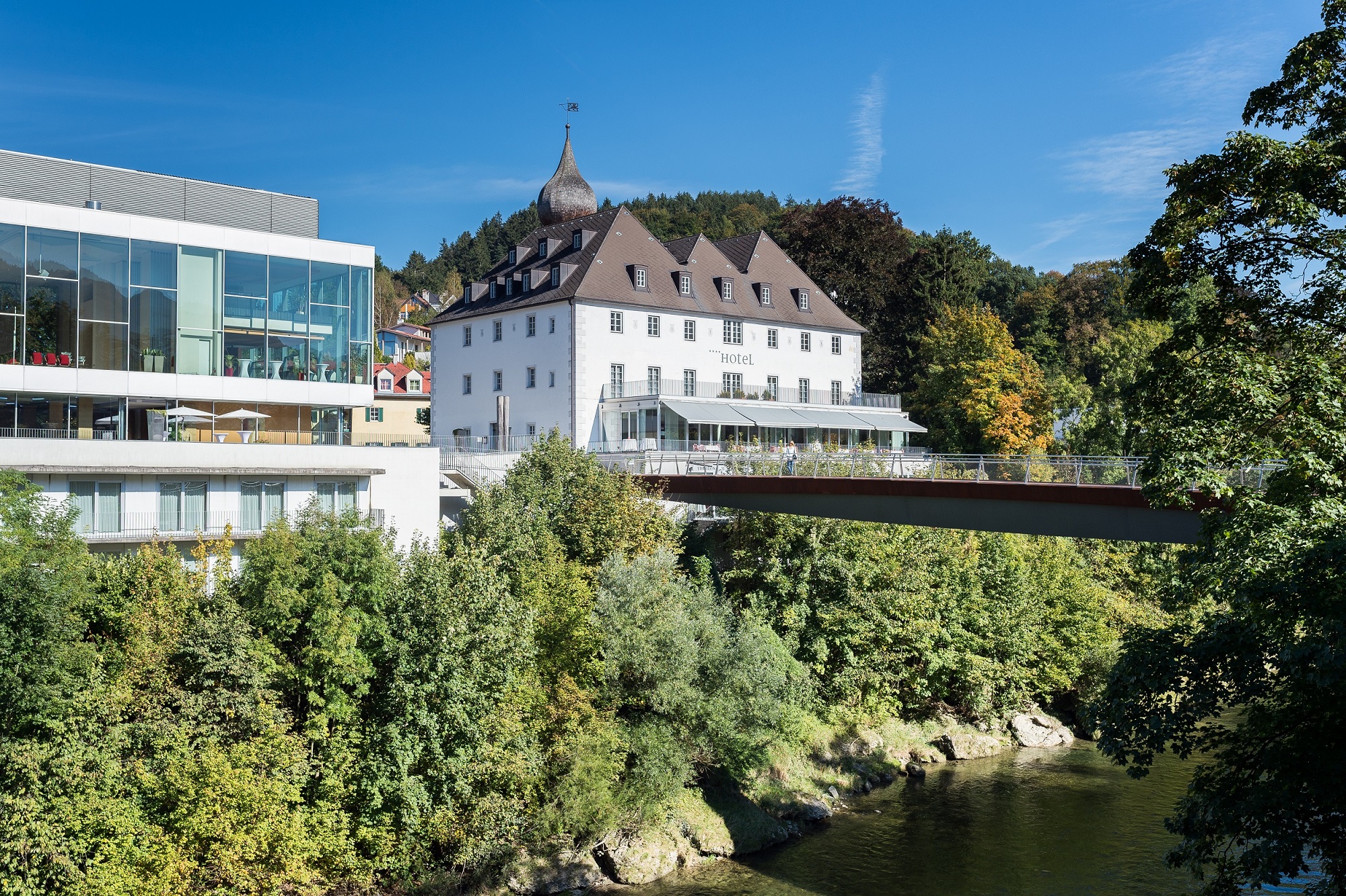
The former Rothschild castle in Waidhofen an der Ybbs, remodelled by Friedrich von Schmidt and now housing the town's museum on the Iron Road.
A nature park along the Ybbs at Waidhofen, with riverside paths, meadows and a network of marked walks.
A viewing point on the Krautberg above Waidhofen an der Ybbs, looking over the town and the Ybbs valley.
The town museum in the castle at Waidhofen an der Ybbs, arranged around five elements to tell the story of local iron working.
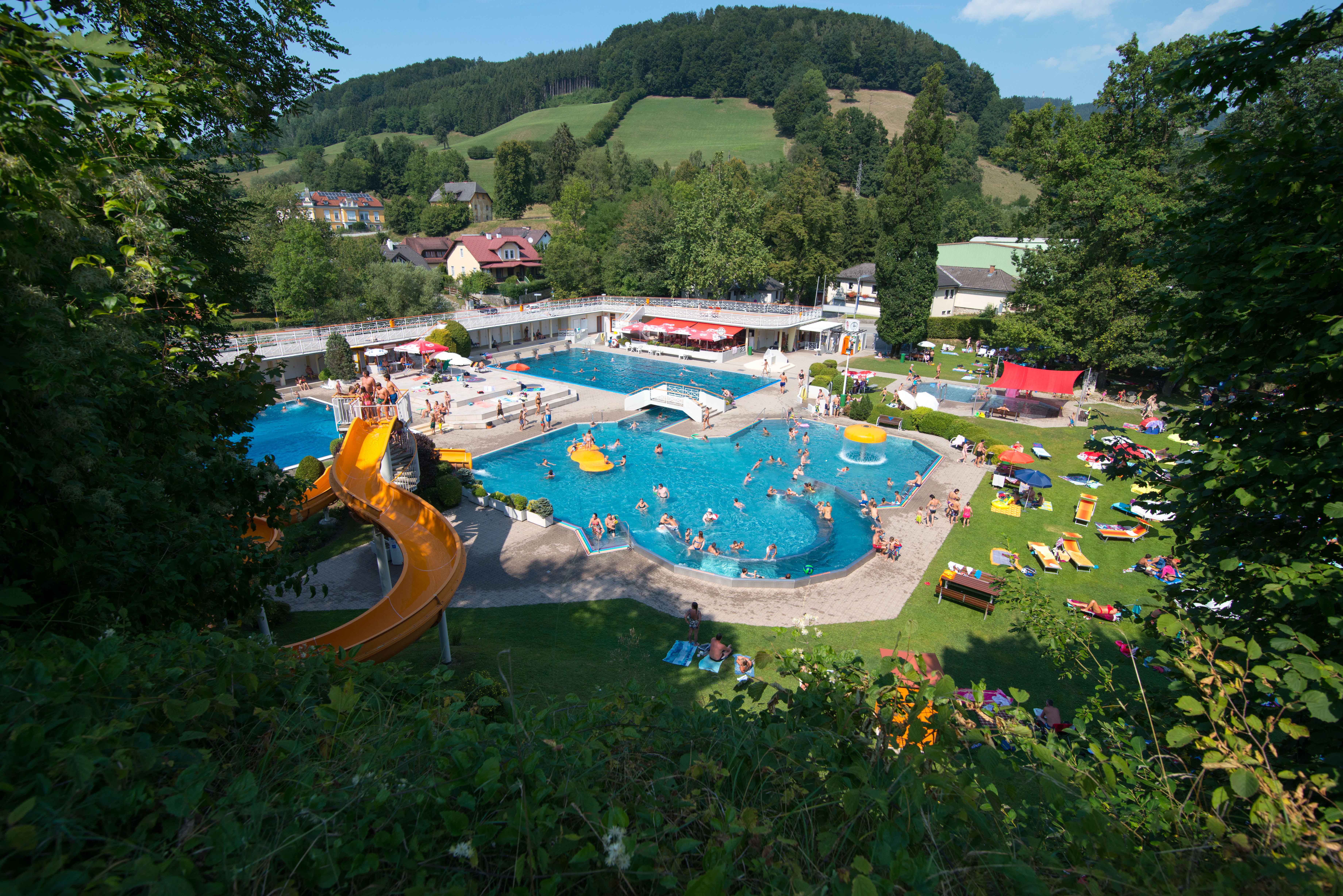
The open-air pool of Waidhofen an der Ybbs, laid out in a park by the river with slides and lawns.
7.7 km away, in Biberbach
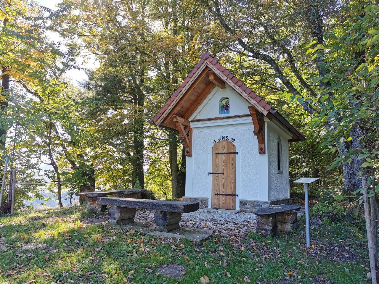
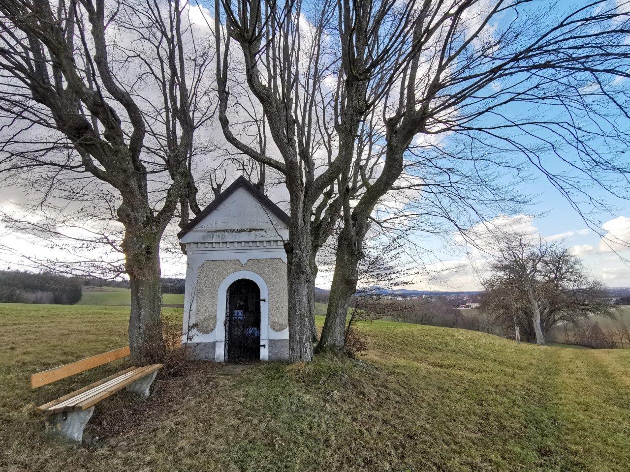
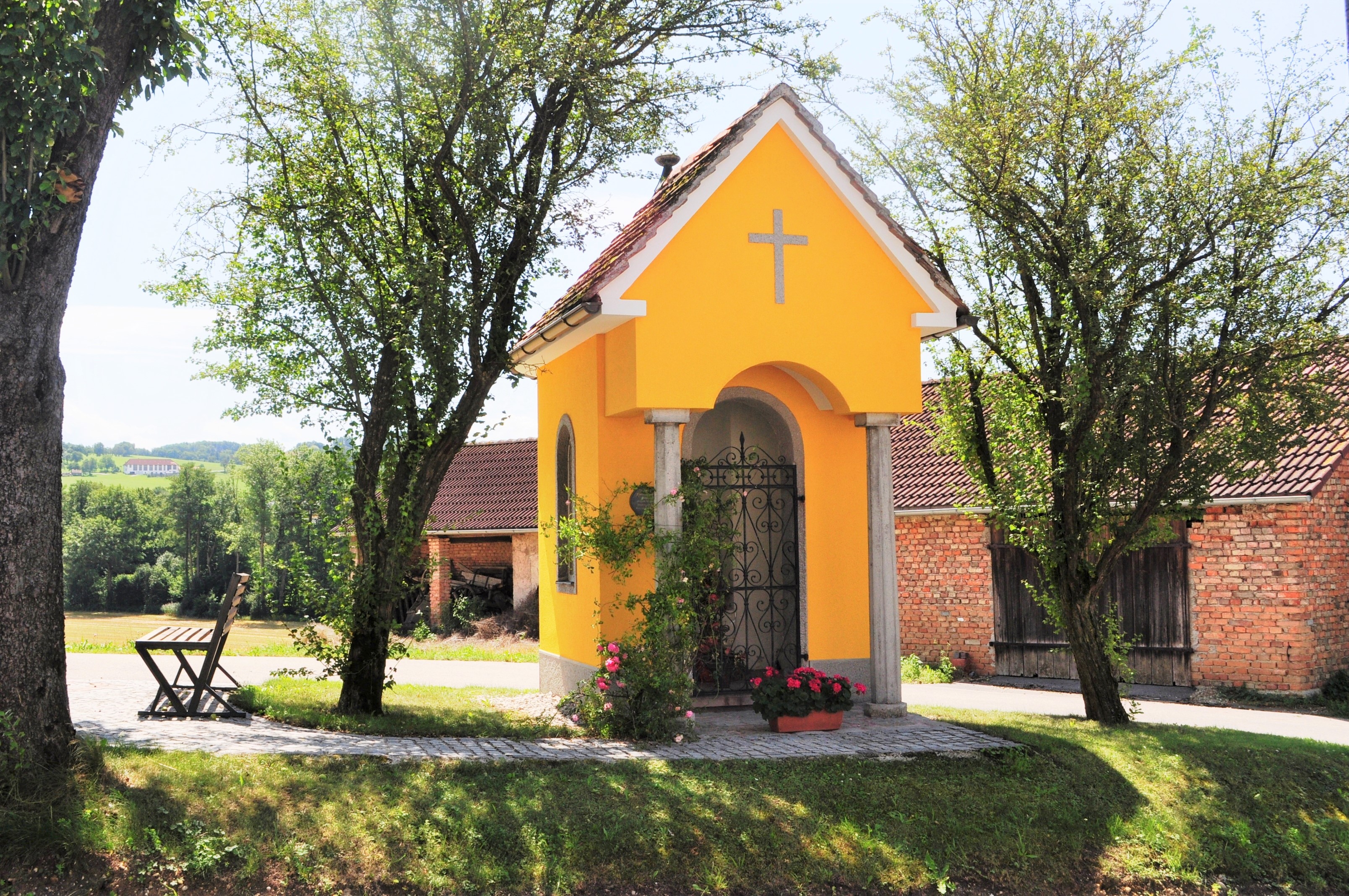
A small wayside chapel at Krausenöd in the hills of Biberbach in the Mostviertel.
8.5 km away, in Ybbsitz
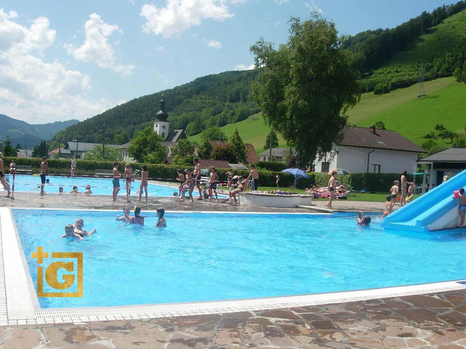
The open-air pool of Ybbsitz, with direct access to the Kleine Ybbs for swimming in the river.
8.7 km away, in Biberbach
A farm chapel at Spachl in the parish of Biberbach, one of many small chapels in these Mostviertel hills.
9 km away, in Ybbsitz
A framed viewing point on the Hubberg above Ybbsitz, one of the PanoramaGucker markers in the Ybbstal.
9.4 km away, in Biberbach
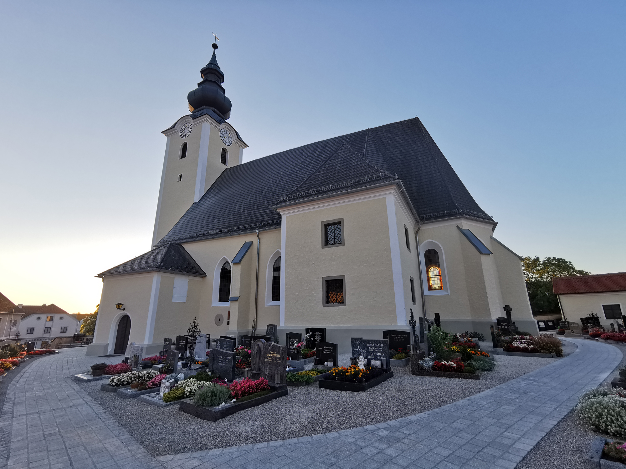
The parish church of St. Stephan at Biberbach in the Mostviertel, standing on a rise above the village.
9.5 km away, in Ertl
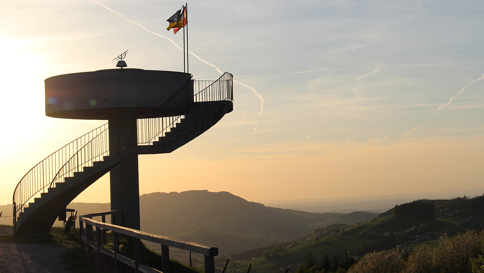
A lookout tower at Ertl in the Mostviertel, with views south towards the limestone pre-Alps.
9.6 km away, in Ybbsitz
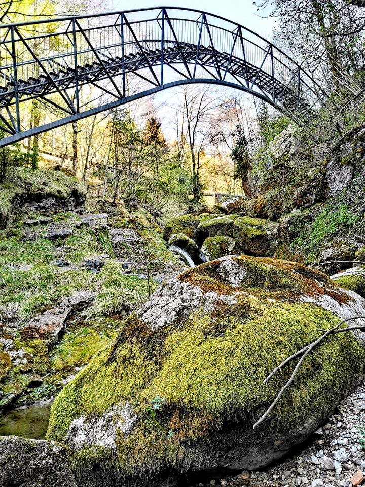
A footbridge across the Ybbs at Ybbsitz, laid out as a short walk with views down to the water.
9.9 km away, in Biberbach
A wayside chapel at Kromos near Biberbach, one of the small farm chapels of this Mostviertel district.
Nothing of this kind in Waidhofen an der Ybbs.
50 routes, an even mix of activities · see the rest on ybbstaler-alpen.at ↗
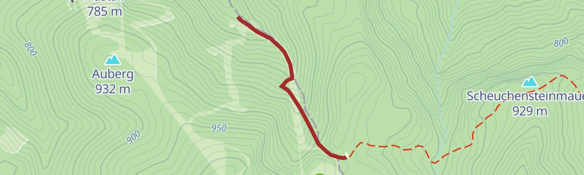
A short, steady pull up from the car park at Forsteralm to the hut, with a longer approach from Gaflenz as an alternative start.
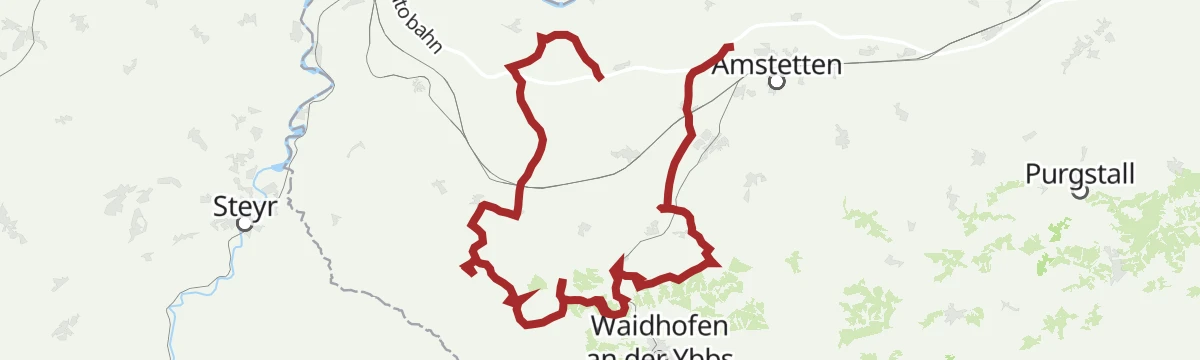
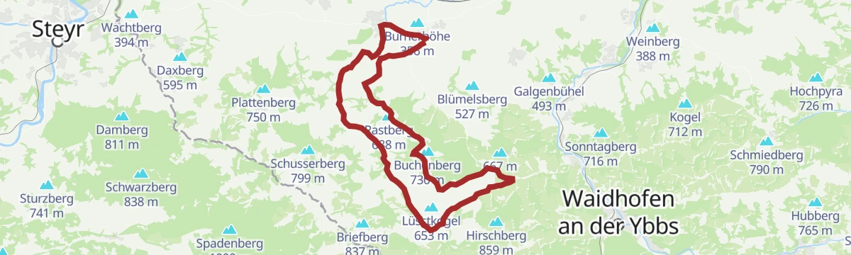
A panoramic tour along the Moststraße cider route near Amstetten, climbing some 460 m between orchards and hilltop outlooks.
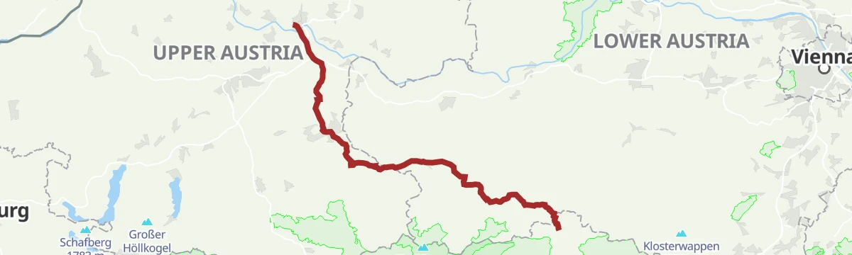
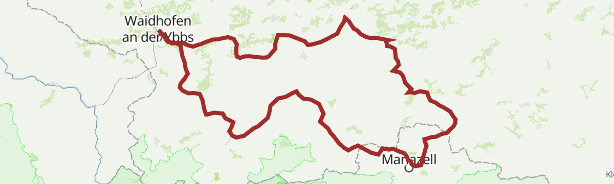
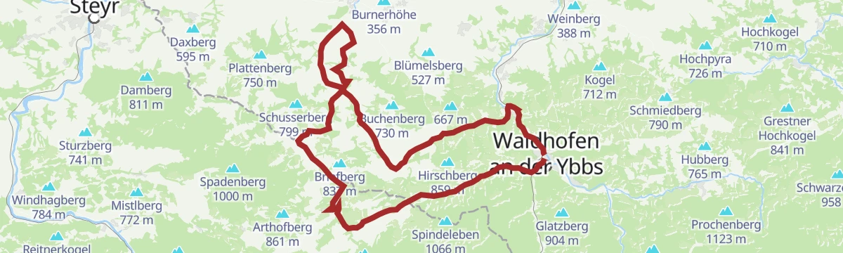
The classic Upper Austrian pilgrim way to Mariazell, leading from Linz by way of Steyr and Waidhofen an der Ybbs on mostly gentle ground.
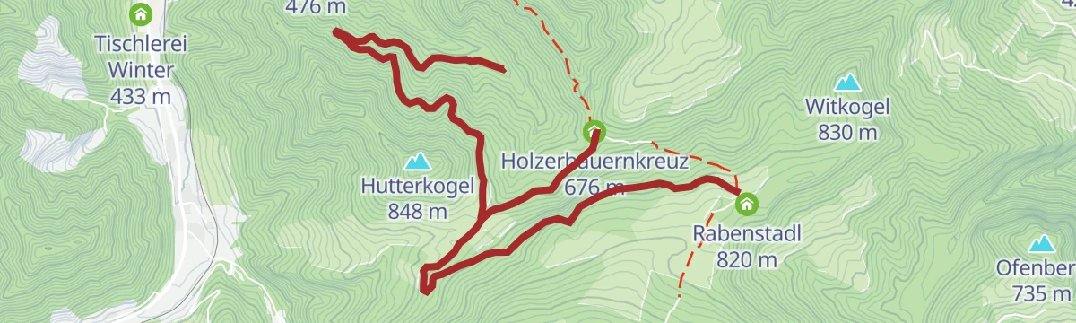
A 6.5 km variant of the Atschreith route at Waidhofen an der Ybbs, 308 m of ascent past the Rabenstadl and the Holzerbauernkreuz.
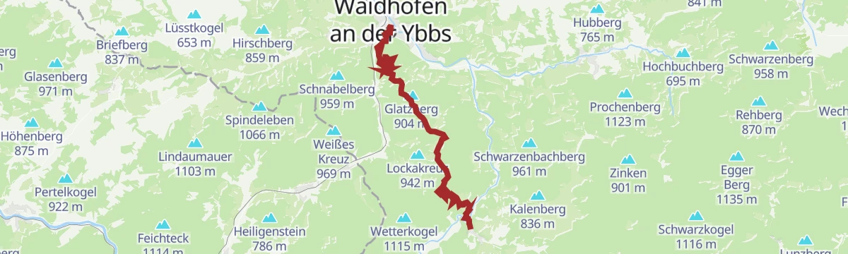
A 10.6 km climb from Waidhofen an der Ybbs to the Hochseeberghaus, with 440 m of ascent by way of Kolmleiten.
A long 28 km day from Waidhofen an der Ybbs over the Schobersberg, with 598 m of ascent and the Schobersbergkapelle, Pramreith and the Putzmühle on the way.
A short pilgrim-route circuit near Mariazell taking in the Hubertussee in the Walstertal, with under 200 m of climbing.
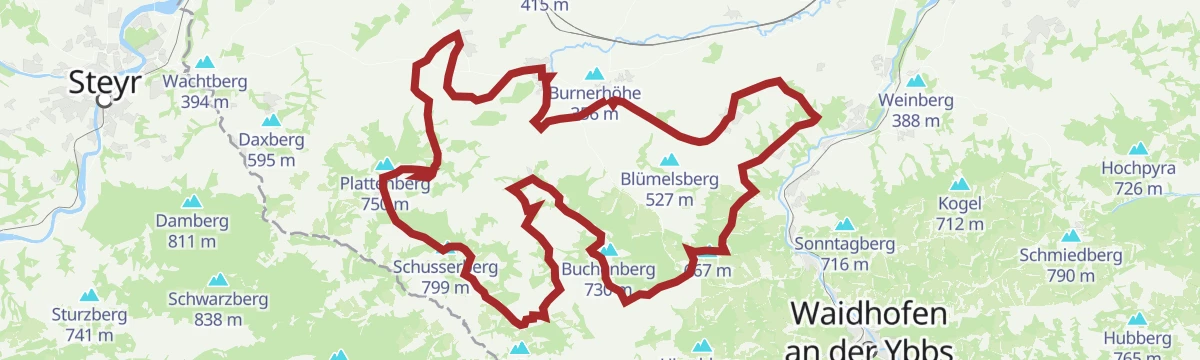
A demanding tour from Seitenstetten by way of St. Peter in der Au and Weistrach, crossing the Wieserhöhe with the abbey in sight.
A demanding link from the Ybbs valley up to the Hochkar, the highest ski mountain in the Mostviertel, with more than 900 m of climbing.
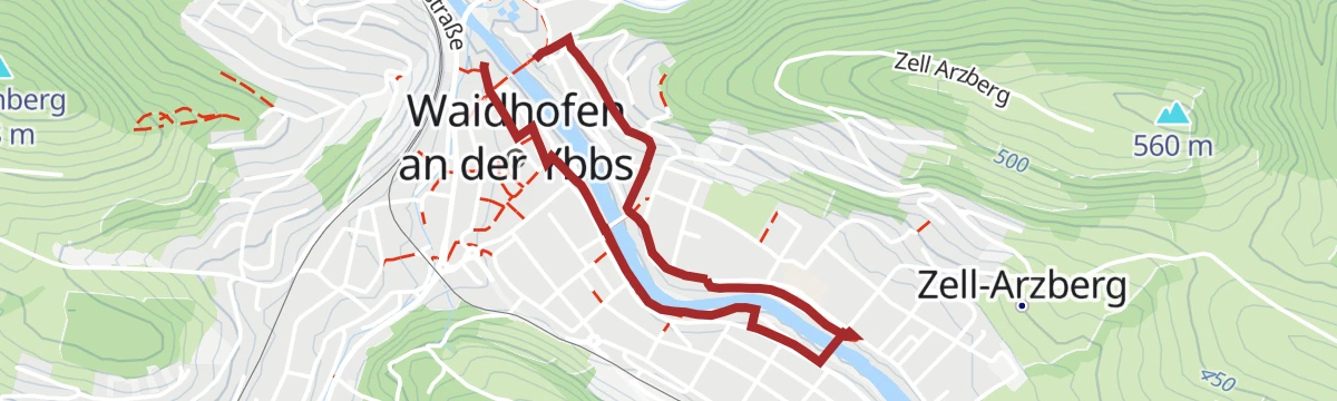
A 2.7 km level walk along the Ybbs through Waidhofen, starting at the tourist office in town.
The extended version of the pilgrim route from the Trinity basilica on the Sonntagberg, with more than 700 m of climbing.
The sportier variant of the Upper Austrian pilgrim way to Mariazell, leaving Linz on a hillier line with close to 1,000 m of climbing.
A 640 m singletrail link on the Atschreith route at Waidhofen an der Ybbs, steep for its length with 116 m of height change near the Rabenstadl.
A narrow single-track line on the Schnabelberg above Waidhofen an der Ybbs, running close to level along the wooded ridge.
A 15.8 km round at Waidhofen an der Ybbs with 465 m of ascent, linking the Rabenstadl, Holzerbauernkreuz, Grien, the Teschengraben and Senftenlehen.
A hilly day on quiet asphalt from Stift Seitenstetten, over the Wieserhöhe and the Stellkogel in the pear-tree country of the Mostviertel.
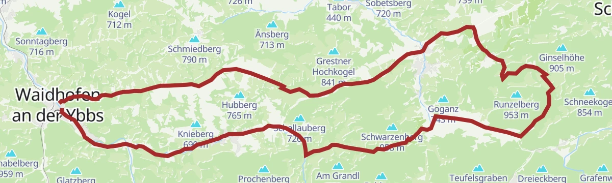
A road route from Waidhofen up the Redtenbachgraben and round by Losenstein on the Enns.
A 2 km stroll through the Leithen suburb of Waidhofen an der Ybbs and its gardens.
A 12.5 km round over the Glatzberg and the Buchenberg above Waidhofen an der Ybbs, with 751 m of ascent by way of Obergrasberg and the Untere Buchenbergkapelle.
A 26.8 km traverse from Waidhofen an der Ybbs over the Spindeleben, Hirschberg, Elmkogel and Schnabelberg, passing Haid, Vordereck and the mountain-rescue hut.
A 1.6 km stretch of singletrail on the Rabenberg at Waidhofen an der Ybbs, with 58 m of height gain.
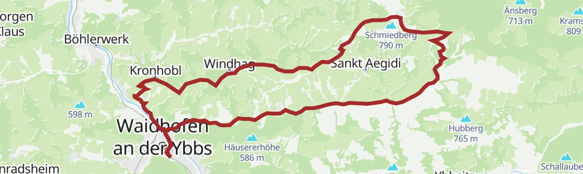
A long 24.4 km route through the hills of Sonntagberg, over the Kogel and past the Türkenbrunnen, with 496 m of ascent spread over the day.
A round in the pass country of the Zellerrain between the Ybbstal and Mariazell, with close to 900 m of climbing.
A road round from Waidhofen upstream along the Ybbs, the first hour almost level in the valley.
The shortest of Waidhofen's four waymarked health walks, 2.5 km with 94 m of climbing.
One of Waidhofen's waymarked health-walk routes: 10.3 km with 585 m of ascent over the Glatzberg, by way of Obergrasberg.
The Opponitz day of the Via Trinitatis pilgrim route, a demanding stage with more than 900 m of climbing in the Ybbstal hills.
A route from Waidhofen an der Ybbs, the town of towers, out by the Türkenbrunnen and Pramreith.
A road route from Waidhofen into the Urltal, with a short steep descent after the first climb to the helicopter base.
A 4.6 km waymarked health walk from Waidhofen an der Ybbs to the Untere Buchenbergkapelle, with 166 m of ascent.
A 13 km round from the village with 799 m of ascent over the Hirschkogel and the Scheuchensteinmauer, calling at the Hochseeberghaus and the Amstettner Hütte.
A signed walking loop out of Gaflenz, one of a numbered series of circuits through the hills of this corner of Oberösterreich.
A 28 km round from Waidhofen an der Ybbs with 497 m of ascent, taking in the Schluchtenhütte, the Naturfreunde Bootshütte, the Holzerbauernkreuz and Senftenlehen.
A ride from Waidhofen up the Redtenbachtal to the Kreuzgruber Höhe, then the Mostviertel's own Ventoux.
A 1.6 km flat walk through the Innen- and Wasservorstadt districts of Waidhofen an der Ybbs, from the tourist office.
An almost level route along the narrow-gauge Citybahn line at Waidhofen an der Ybbs, following the railway through the valley for some 11 km.
A longer walking circuit in the hills around Gaflenz, marked as part of the village's numbered series of loop routes in Oberösterreich.
A 15.9 km round from Waidhofen an der Ybbs with 560 m of ascent, passing the farms at Oberreitbauer and Unterreitbauer.
A long road route from Waidhofen up the Ybbs valley and through the gorge country beyond Hollenstein.
Königsstein 492 m Mendlingpass 680 m Mendlingpass 686 m
 Herrenhaus Fischteich 637 m Herrenhaus Fischteich 638 m
 Jausenstation Herrenhaus 643 m
A 700 m level path along the bank of the Ybbs in Waidhofen, short enough to be a link rather than a walk in itself.
A ridge-top round in the hills above Waidhofen an der Ybbs, near-level once the height is gained, on marked field and forest paths.
A long approach from Gaflenz through the Bürgertal to the Forsteralm and the hut above it, returning by way of Oberland.
A road round from Waidhofen into the Urltal, over the climb to the rescue helicopter base.
An 8 km route at Waidhofen an der Ybbs gaining 382 m, enough climbing to make a moderate outing on the hills above the town.
A 16.1 km circuit from the tourist office in Waidhofen an der Ybbs, gaining 388 m on the heights around the town.
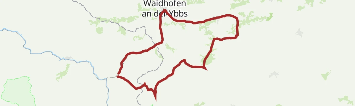
A road-bike loop from Waidhofen, running upstream along the Ybbs on gentle gradients before the climb over the ridge and the return.
The fourth day of the classic Upper Austrian pilgrim way, an easy stage through Maria Neustift with only 221 m of climbing.
A long, varied loop from Oberland to the summit cross known as the Weißes Kreuz, panoramic and walkable through the whole year.
A longer version of the same round from Waidhofen, taking in Gschnaidt and Konradsheim above the Ybbs.
Day four on the sportier pilgrim variant, taking a hillier line to Maria Neustift with close to 600 m of climbing.
No routes of this kind in Waidhofen an der Ybbs yet.
Summit
via OÖ Mariazellerweg: A: Klassischer OÖ Mariazellerweg über Steyr und Waidhofen an der Ybbs
Featured route
A short, steady pull up from the car park at Forsteralm to the hut, with a longer approach from Gaflenz as an alternative start.
Everything else Lower Austria has, in one place
Every route on this page with 3D terrain, GPX navigation and offline maps — including the valleys with no signal.


