
 Mountain hut
 /media/resize/1024x576c/3303115)
 Cable car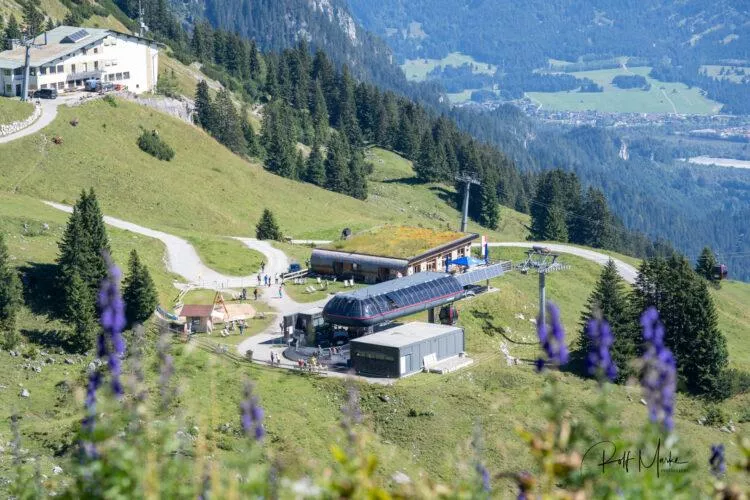
 Historic site











Curated by Naturparkregion Reutte
Wängle
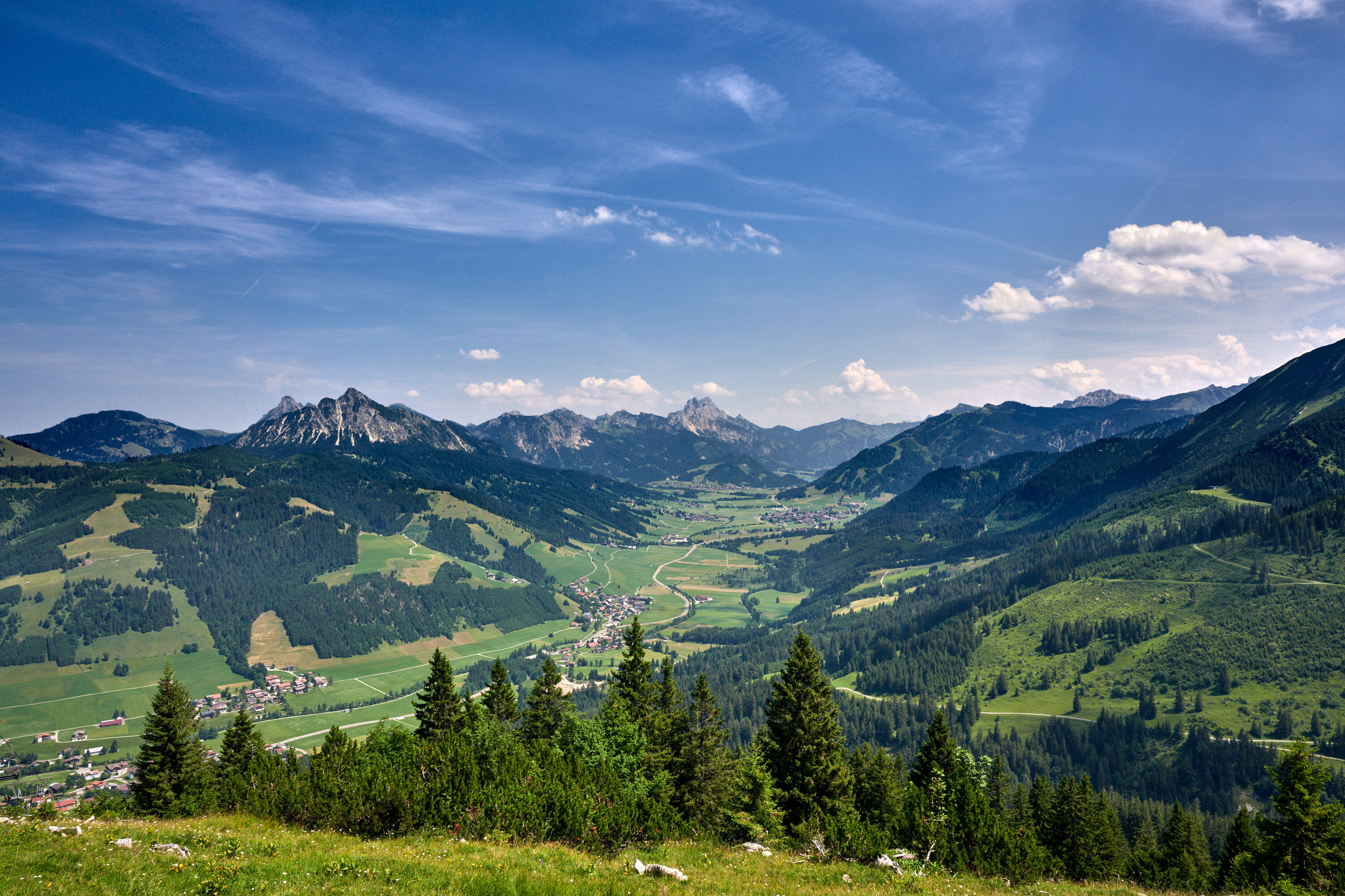
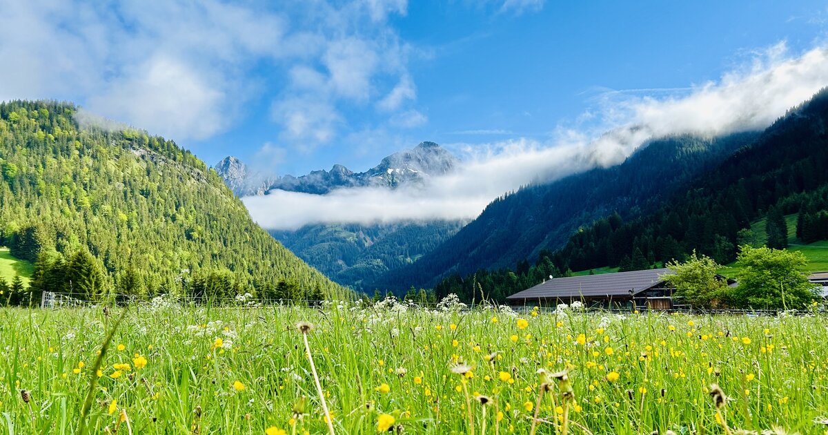
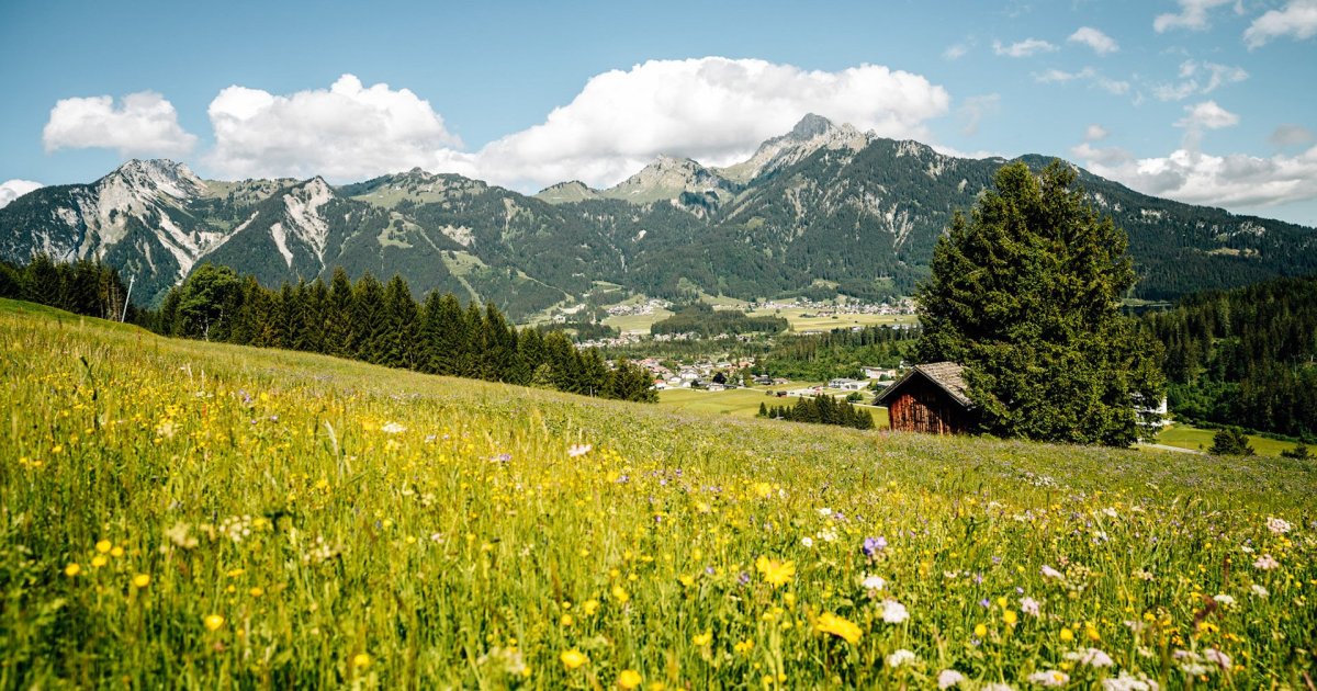
A village of sunny terraces just west of Reutte at about 900 m, looking over the Lech basin toward the Tannheim mountains.
- 3Highlights
- 20Routes
- Featured summit · Kalvarienberg
Highlights
12 from neighbouring places
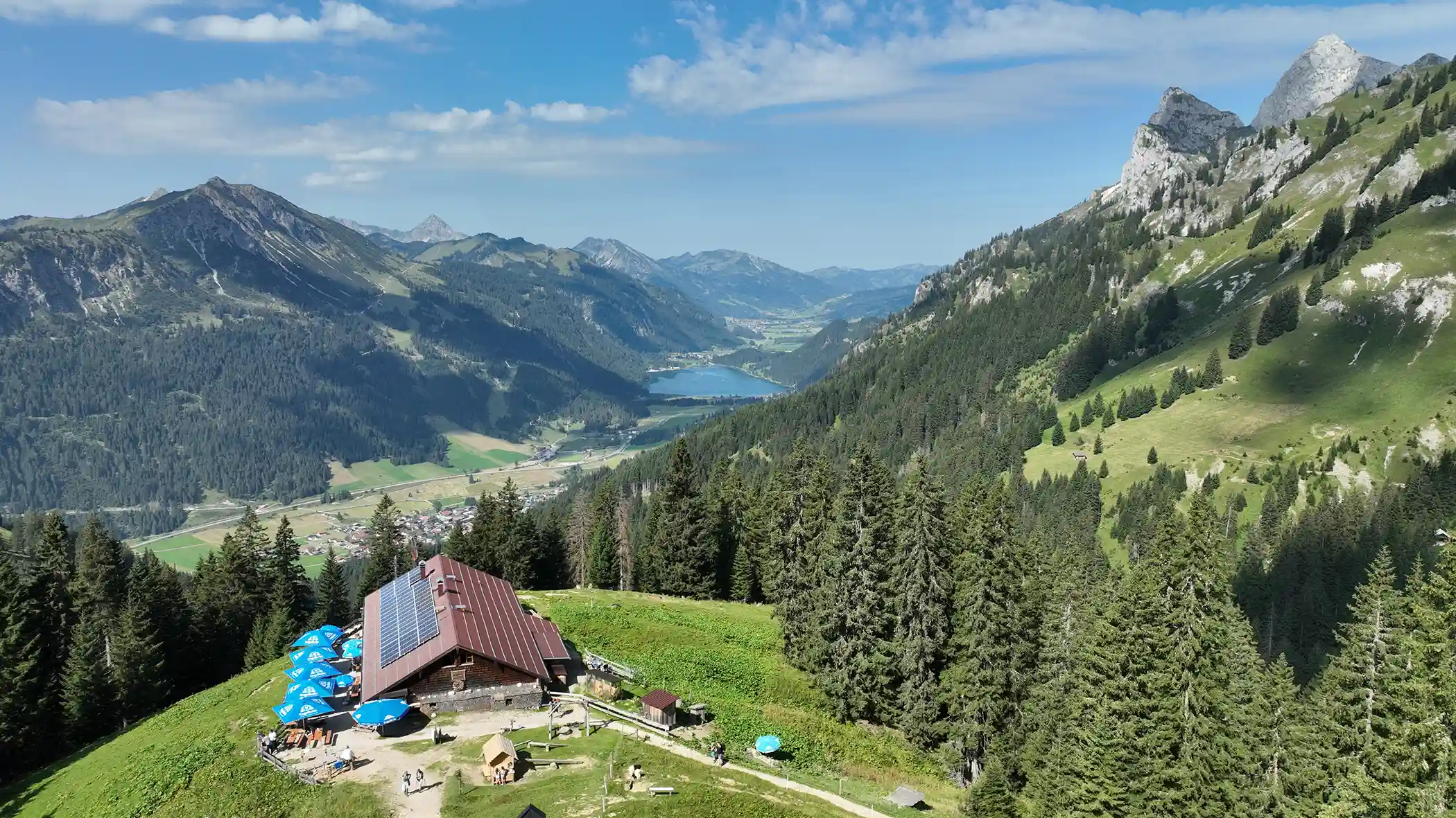
Lechaschauer Alm
An alpine pasture hut on the slopes above Lechaschau near Reutte, serving refreshments to walkers in the Naturparkregion Reutte.
Panoramahotel Talhof
A hotel at Wängle above the Reutte basin, a partner establishment of the Tiroler Lech nature park with views across the valley.
Schneetalalm
A hut in the Schneetal high above Höfen, part of the Hahnenkamm mountain area near Reutte, serving walkers and skiers.
Cilli Hütte
1.4 km away, in Höfen
A small hut in the Hahnenkamm area above Höfen, a stop for skiers and walkers in the mountains near Reutte.
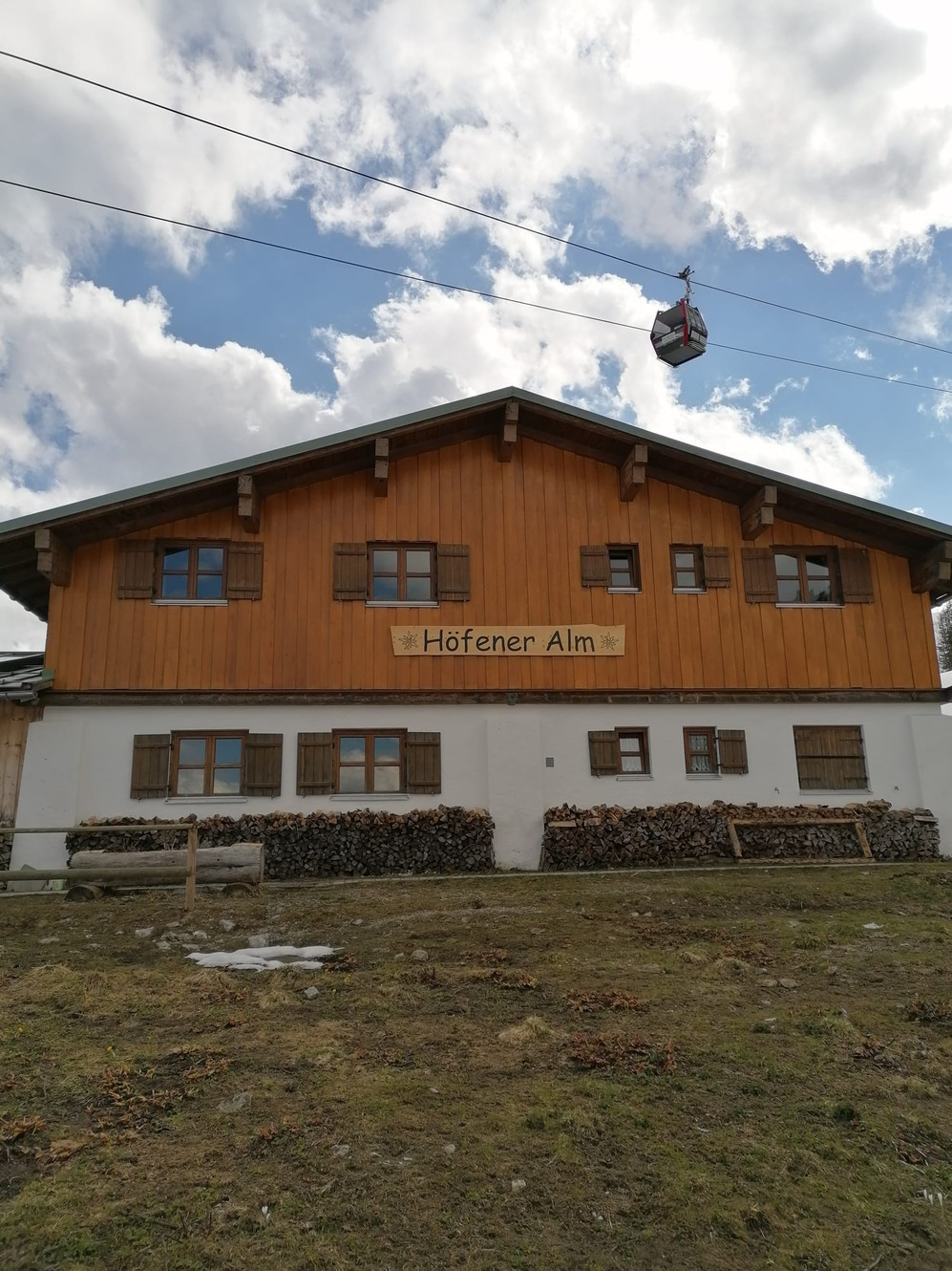
Höfener Alm
1.5 km away, in Höfen
A pasture hut on the Hahnenkamm slopes above Höfen, serving food to walkers in summer and skiers in winter.
Bergwelt Hahnenkamm | Sommerbergbahn
1.5 km away, in Höfen
A summer gondola from Höfen up the Hahnenkamm, Reutte's local mountain, giving access to walking trails and an alpine flower garden.
Panoramarestaurant Hahnenkamm
1.5 km away, in Höfen
A restaurant at the top station of the Hahnenkamm lifts above Höfen, overlooking the Lech valley and the peaks of the Ausserfern.
Bergsee am Hahnenkamm
1.6 km away, in Höfen
A small mountain lake on the Hahnenkamm above Höfen, a resting spot beside the walking trails around Reutte's local mountain.
Bergwelt Hahnenkamm
2.3 km away, in Höfen
A lift-served walking area on the Hahnenkamm above the Reutte basin, with panoramic trails and an alpine flower garden near the top station.
Antonius Kapelle
2.8 km away, in Nesselwängle
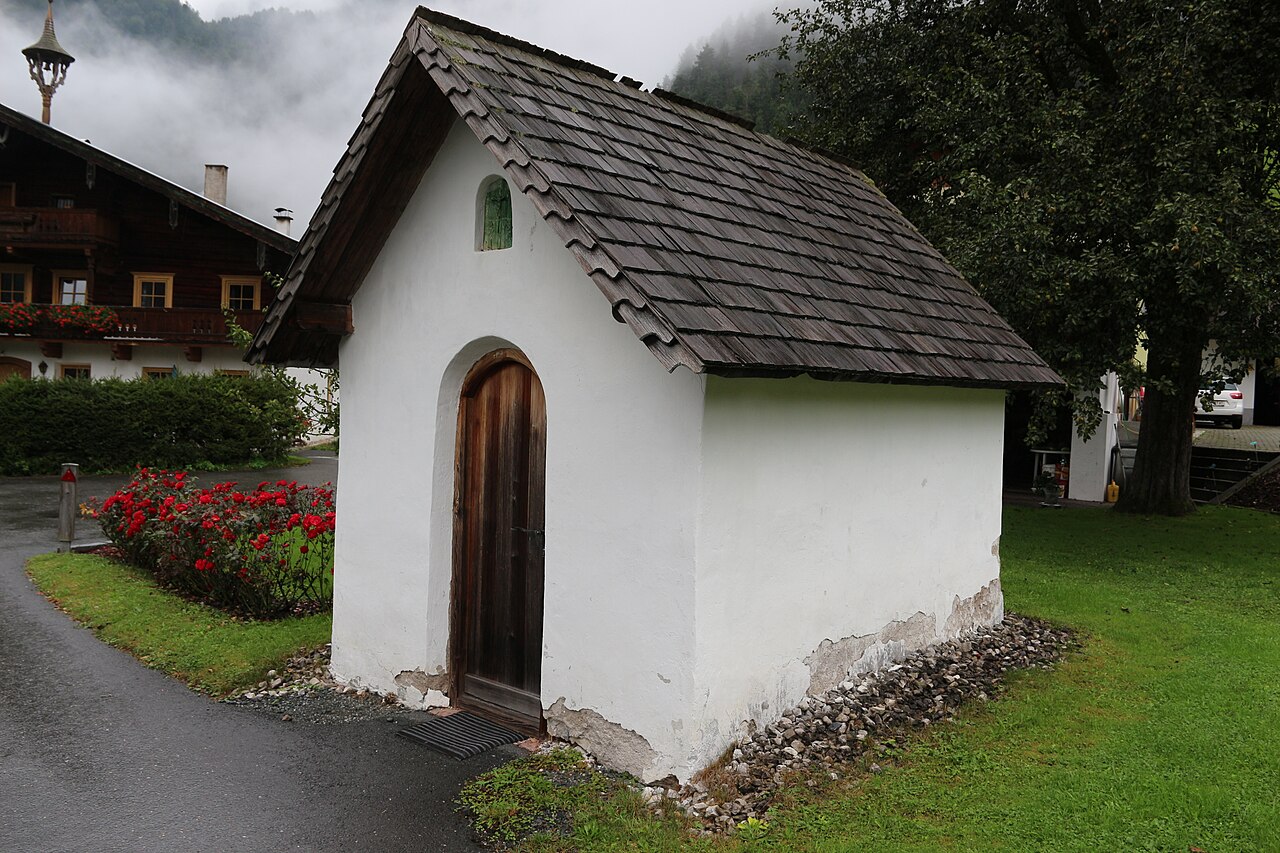
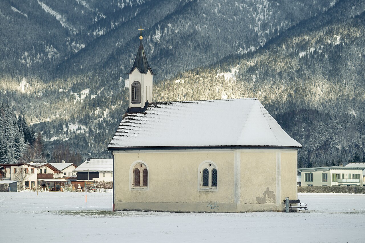
A village chapel in Nesselwängle dedicated to St Anthony, a small devotional stop below the Tannheim climbing peaks.
Gimpelhaus
3 km away, in Nesselwängle
A mountain hut above Nesselwängle below the Gimpel and Rote Flüh, the traditional base for climbers in the Tannheim range.
Waldspielplatz in Nesselwängle
3.4 km away, in Nesselwängle
A forest playground at Nesselwängle, a shaded natural play area below the rock peaks of the Tannheim range.
Ottilienkapelle
3.4 km away, in Lechaschau
A chapel dedicated to St Ottilia at Lechaschau near Reutte, part of the dense network of chapels in the Lech valley villages.
Füssener Hütte
3.6 km away, in Musau
A mountain hut in the Tannheim range above Musau, a starting point for walks and climbs on the surrounding limestone peaks.
Berggut Gaicht
3.8 km away, in Weißenbach am Lech
A mountain estate at Gaicht above Nesselwängle, offering hut-style lodging near the pass between the Tannheimer Tal and the Lech valley.
Nothing of this kind in Wängle.
Routes
Höhenwanderung zur Schneetalalm
High-level walk from the Hahnenkamm top station near Reutte, contouring past the Bergsee and over the Tiefjoch to the Schneetal Alm.
- 3.8 km
- Distance
- 211 m
- Ascent
- 1 h 30 min
- Duration
- 36
- Check-ins
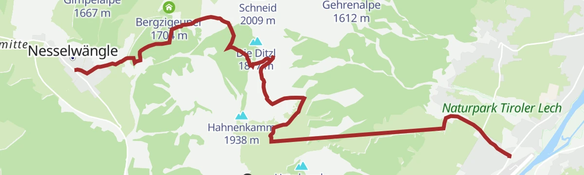
Schneetalalm - Gimpelhaus - Gehrenspitze
From Nesselwängle via the Schneetal Alm to the Gimpelhaus and up the Gehrenspitze, the corner peak of the Tannheim group above the Haldensee.
- 9.0 km
- Distance
- 710 m
- Ascent
- 4 h 36 min
- Duration
- 98
- Check-ins
2026 SEEN-LAUF Tannheimer Tal - 6 Hütten-TRAIL (L)
Long course of the Tannheim valley lake run, stringing six huts around the Haldensee and the Gimpel flank; runnable paths with sustained climbing.
- 25.2 km
- Distance
- 1 602 m
- Ascent
- 10 h 56 min
- Duration
- 172
- Check-ins
Wandertour auf dem Alpenrosenweg | Barrierefrei
Barrier-free panoramic trail at the Hahnenkamm above Höfen, rolling between the Höfener Alm and the Lechaschauer Alpe with the Lech valley spread out below.
- 5.3 km
- Distance
- 165 m
- Ascent
- 1 h 39 min
- Duration
- 16
- Check-ins
Almenwanderung am Hahnenkamm
Hut-to-hut loop on the Hahnenkamm connecting the Schneetal Alm, Gehrenalpe and Höfener Alm, crossing the Tiefjoch high above the Lechtal.
- 10.9 km
- Distance
- 486 m
- Ascent
- 3 h 45 min
- Duration
- 51
- Check-ins
Hüttenrundwanderung auf den Hahnenkamm
Grand tour of the Hahnenkamm's huts - Gehrenalpe, Schneetal Alm and Höfener Alm - climbing from the valley and crossing the Tiefjoch, with over 1,000 m of ascent in the round.
- 15.3 km
- Distance
- 1 076 m
- Ascent
- 7 h 9 min
- Duration
- 57
- Check-ins
Panoramarundwanderung Höfen - Wängle
Gentle panorama circuit linking Höfen and Wängle above the Reutte basin, with steady views over the Talkessel and the Lechtal Alps; an easy afternoon round.
- 4.4 km
- Distance
- 109 m
- Ascent
- 1 h 18 min
- Duration
Hahnenkamm
Ascent of Reutte's local ridge above Höfen, taking in the Hornberg and the Tiefjoch, with the Schneetal Alm and a summit restaurant for breaks along the way.
- 9.8 km
- Distance
- 888 m
- Ascent
- 5 h 34 min
- Duration
- 50
- Check-ins
Gehrenalpe - Musauer Alm - Bärenfalle
Long alm-to-alm traverse above the Lech near Wängle, climbing to the Gehrenalpe, crossing the Gehrenjoch and Sabachjoch to the Musauer Alm, and descending by the Bärenfalle.
- 16.0 km
- Distance
- 1 311 m
- Ascent
- 8 h 24 min
- Duration
- 46
- Check-ins
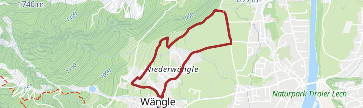
Rundwanderung Niederwängle - Wängle
Simple village loop between Niederwängle and Wängle on field paths above the Reutte basin; barely 60 m of climbing and done in under an hour.
- 3.1 km
- Distance
- 62 m
- Ascent
- 53 min
- Duration
Über die Tannheimer Berge: Etappe 3 | Musauer Alm - Höfener Alm
Third stage of the Tannheim crossing, climbing from the Musauer Alm over the Gehrenjoch and past the Gehrenalpe to finish at the Höfener Alm above the Lech valley.
- 7.8 km
- Distance
- 729 m
- Ascent
- 4 h 33 min
- Duration
- 41
- Check-ins
Lechaschauer Alm
Stiff climb from the Reutte side to a managed alm high above Lechaschau, continuing over the Tiefjoch past the Schneetal Alm; nearly 1,000 m of ascent with big views over the Talkessel.
- 9.8 km
- Distance
- 995 m
- Ascent
- 6 h 6 min
- Duration
- 37
- Check-ins
Winkl Rundwanderung bei Wängle
Quiet loop through the Winkl area outside Wängle, wandering hamlet lanes and meadows with views over the Reutte valley basin; flat enough for everyday shoes.
- 3.5 km
- Distance
- 94 m
- Ascent
- 1 h 4 min
- Duration
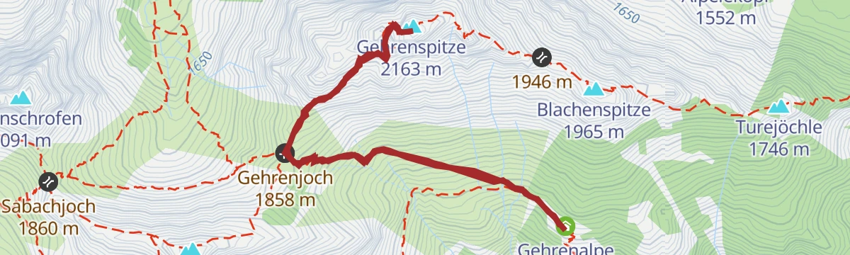
Gipfelwanderung Gehrenspitze ab Gehrenalpe
Summit stage from the Gehrenalpe over the Gehrenjoch onto the rocky top, halving the climb compared with starting down in the valley.
- 3.9 km
- Distance
- 528 m
- Ascent
- 3 h 6 min
- Duration
- 18
- Check-ins
Lechweg - Klassische Variante - Etappe 7 - Wängle bis Füssen
Final classic Lechweg stage from Wängle over the Kalvarienberg and Hutlersberg, past the hidden Frauensee and through the Kniepass to Füssen, where the river leaves the Alps; a long day with a wide panorama over the Reutte basin.
- 24.6 km
- Distance
- 788 m
- Ascent
- 7 h 50 min
- Duration
- 27
- Check-ins
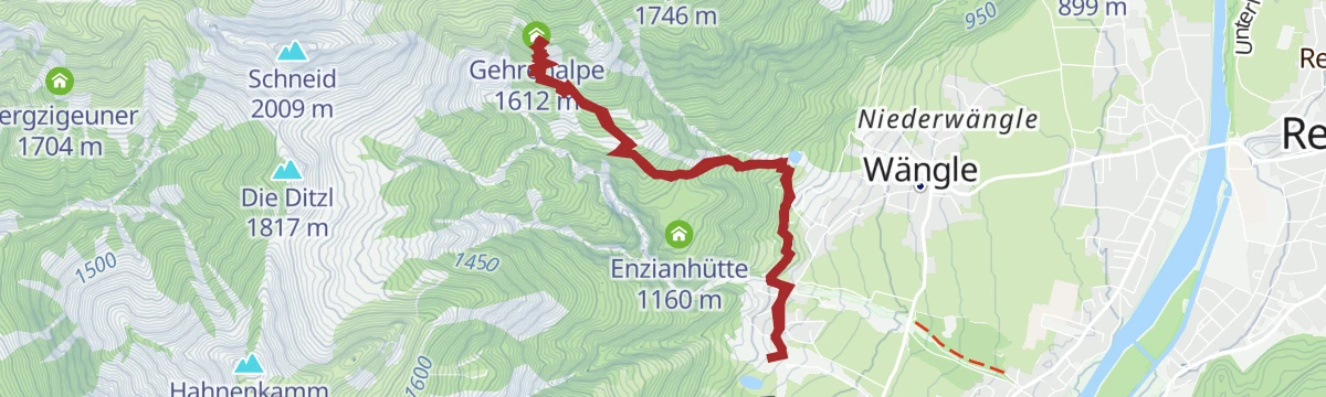
Wanderung zur Gehrenalpe
Steady climb from Höfen to the Gehrenalpe, a hut perched on the slopes above the Reutte basin with wide views over the Lech valley.
- 7.9 km
- Distance
- 735 m
- Ascent
- 4 h 35 min
- Duration
- 6
- Check-ins
Gipfelrundwanderung Hahlekopf & Gehrenjoch
Long ridge circuit above the Frauensee taking in the Hahlekopf and the Gehrenjoch, with the Gehrenalpe and the little Hahlehütte as waypoints on 1,350 m of climbing.
- 15.6 km
- Distance
- 1 355 m
- Ascent
- 8 h 34 min
- Duration
- 26
- Check-ins
Wanderung zur Lechaschauer Alm
Forest ascent from Lechaschau to the Lechaschauer Alpe, a hut terrace looking down on Reutte and the Lech valley; steady climbing on good paths the whole way up.
- 6.8 km
- Distance
- 742 m
- Ascent
- 4 h 30 min
- Duration
- 2
- Check-ins
Gipfelwanderung Gehrenspitze
From the Lech valley floor a sustained 1,250 m climb over the Gehrenalpe and the Gehrenjoch to a rocky Tannheim-range summit above Reutte.
- 11.8 km
- Distance
- 1 264 m
- Ascent
- 7 h 41 min
- Duration
- 18
- Check-ins
Lechweg - Gemütliche Variante - Etappe 7 - Weißenbach bis Pflach
Relaxed-gradient but long Lechweg stage from Weißenbach past Reutte to Pflach, detouring by the woodland Frauensee; river dams and gravel banks set the tone.
- 19.0 km
- Distance
- 349 m
- Ascent
- 5 h 21 min
- Duration
- 7
- Check-ins
No routes of this kind in Wängle yet.
The region's own picks
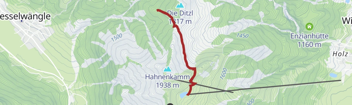
Featured route
Höhenwanderung zur Schneetalalm
High-level walk from the Hahnenkamm top station near Reutte, contouring past the Bergsee and over the Tiefjoch to the Schneetal Alm.
Planning a trip to Wängle?
Everything else Tyrol has, in one place


Take Wängle with you into the mountains
Every route on this page with 3D terrain, GPX navigation and offline maps — including the valleys with no signal.
Data sources
- Official website: reutte.com ↗
- Routes and highlights: Naturparkregion Reutte, Tannheimer Tal, Lechtal Tourismus
- Published as open data by the tourist boards named above.
- Region summary generated from the board's own material.
