
 Historic site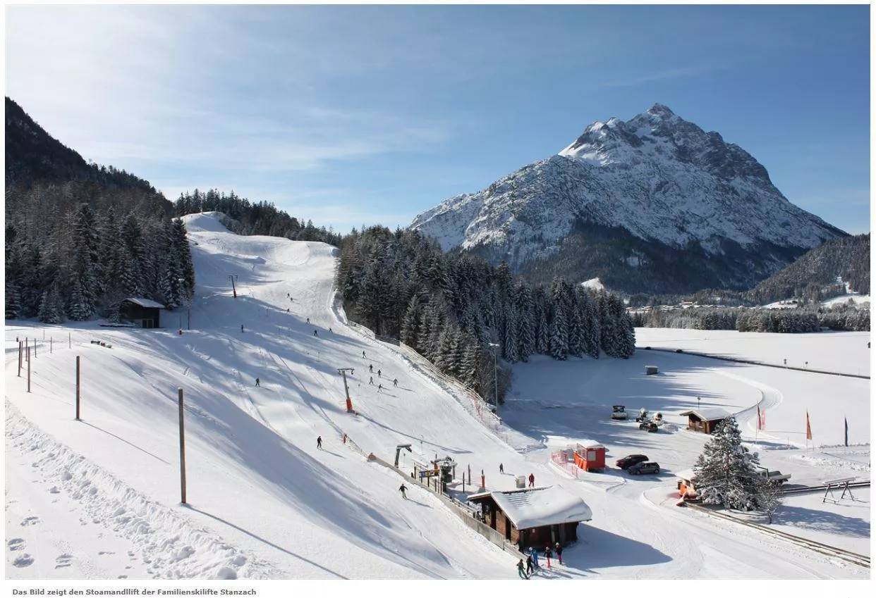
 Cable car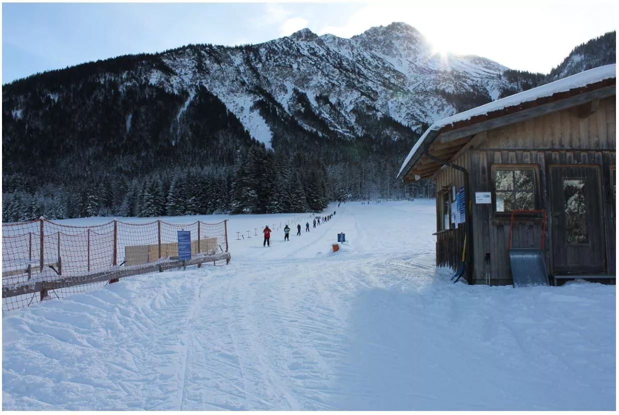
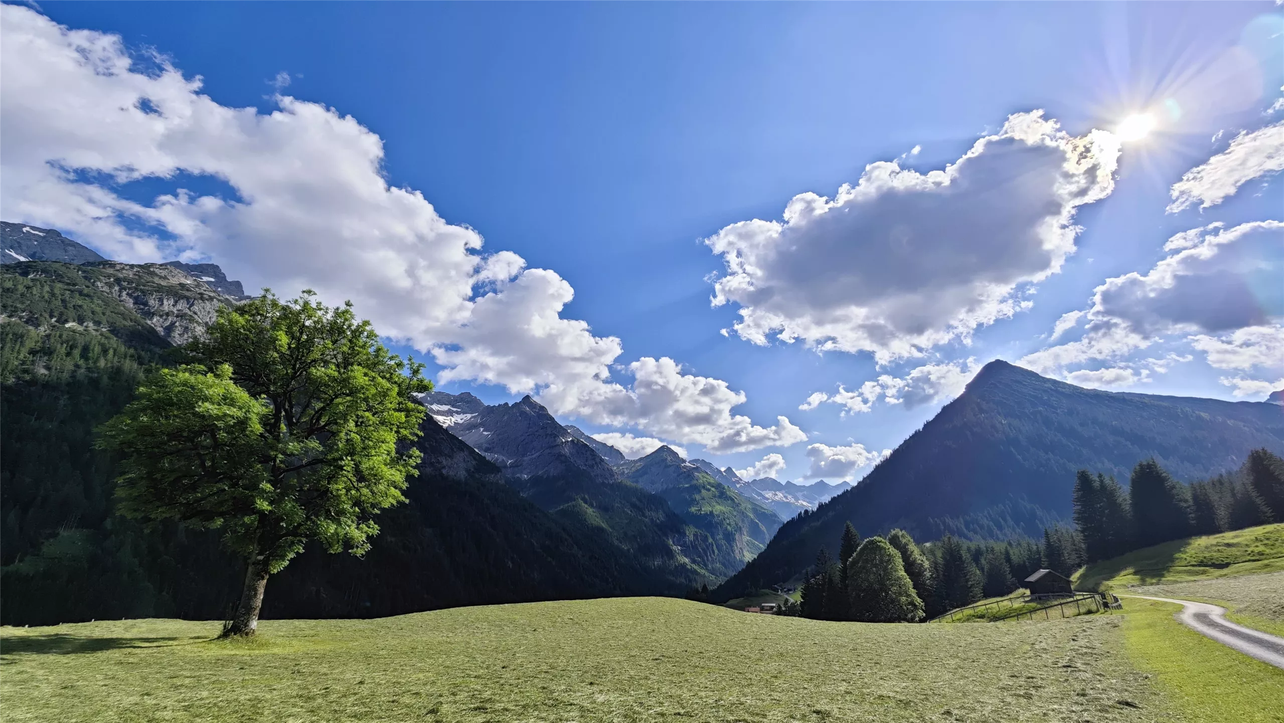
 Viewpoint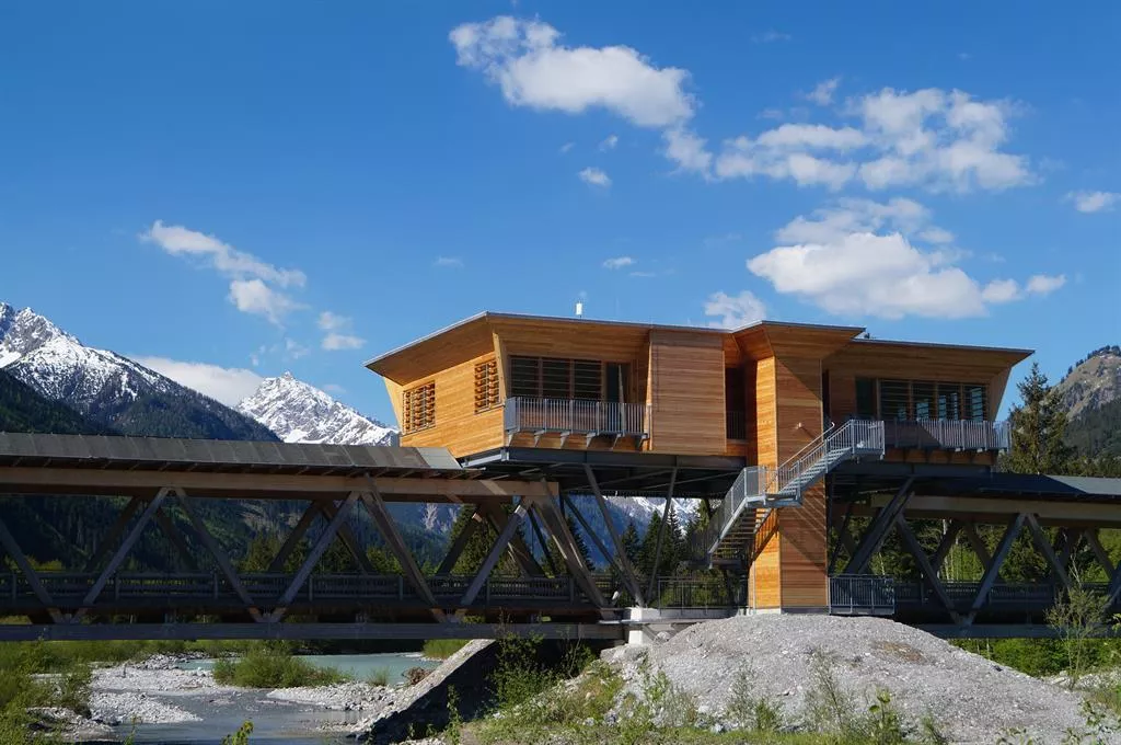
 Mountain hut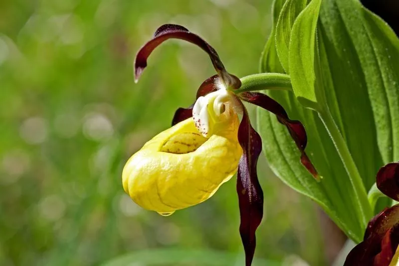






Curated by Lechtal Tourismus
Vorderhornbach
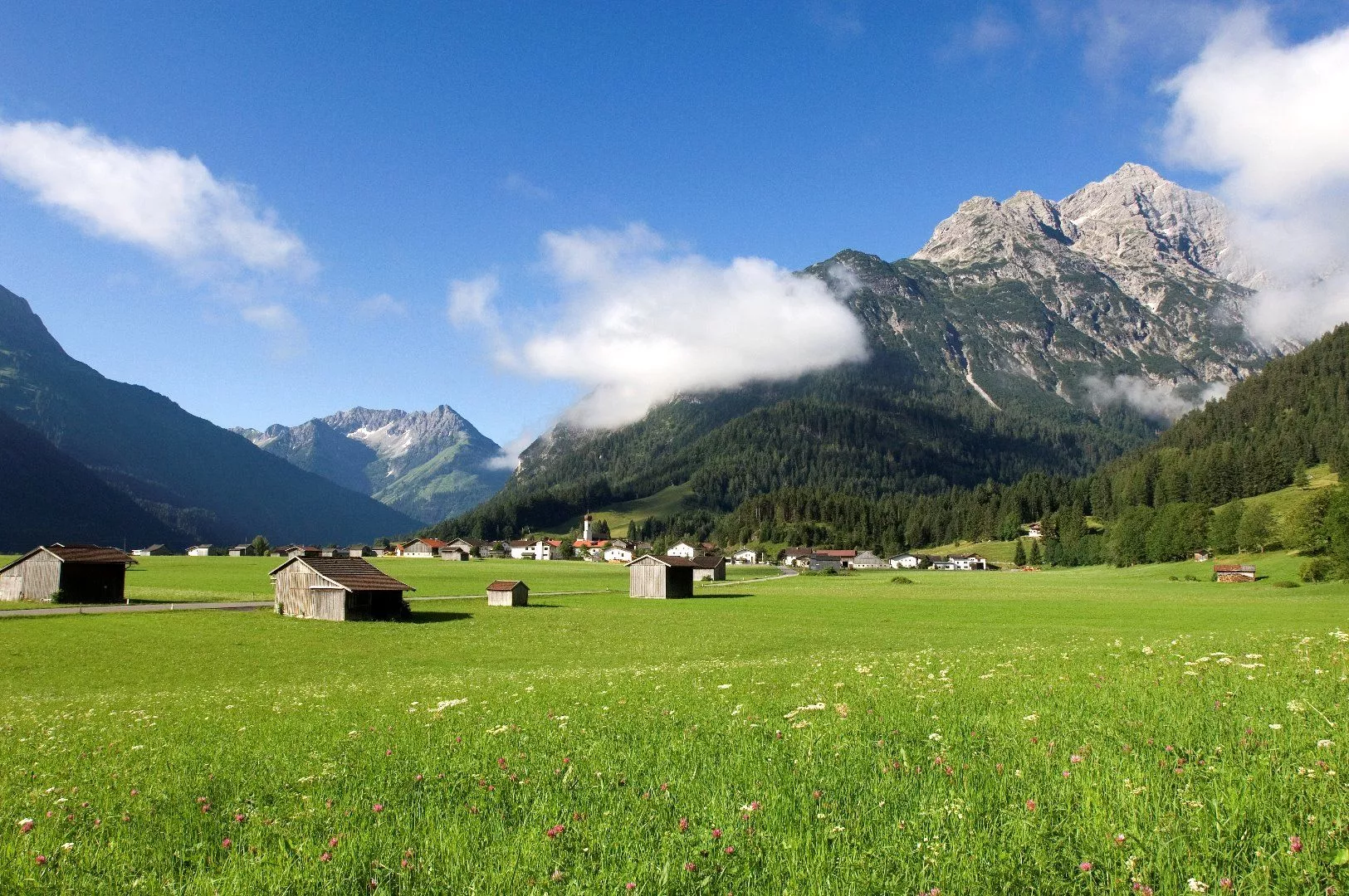
A small village at the mouth of the Hornbachtal above the Lech, with a natural swimming lake and quiet trails leading into the Allgäu Alps.
- 1Highlights
- 20Routes
- Featured summit · Kreuzspitze
Highlights
14 from neighbouring places
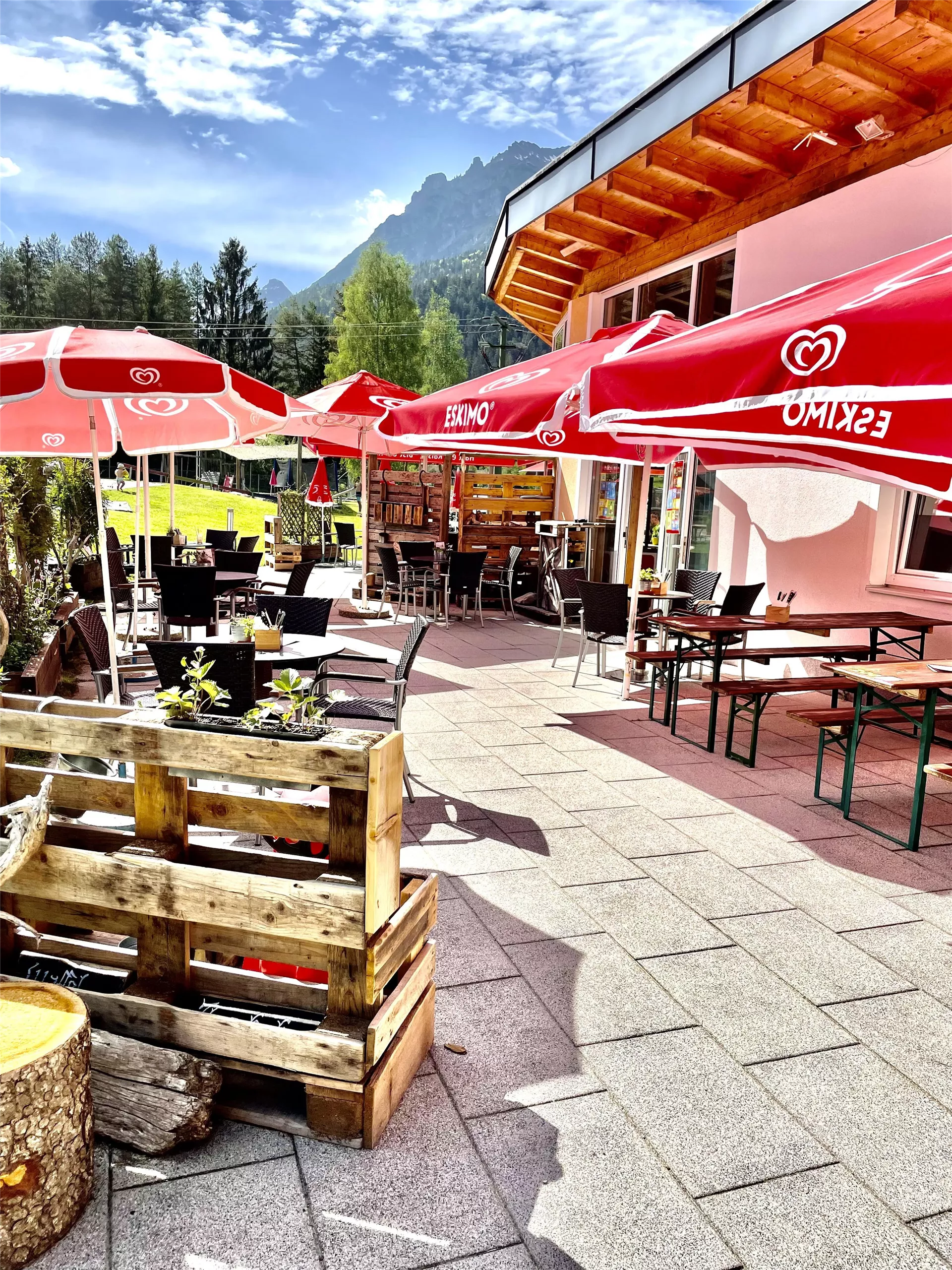
Freibad Naturerlebnisbad Badino
A natural outdoor swimming pool at Vorderhornbach in the Lechtal, with naturally filtered water, lawns and a beach volleyball court at 973 m.
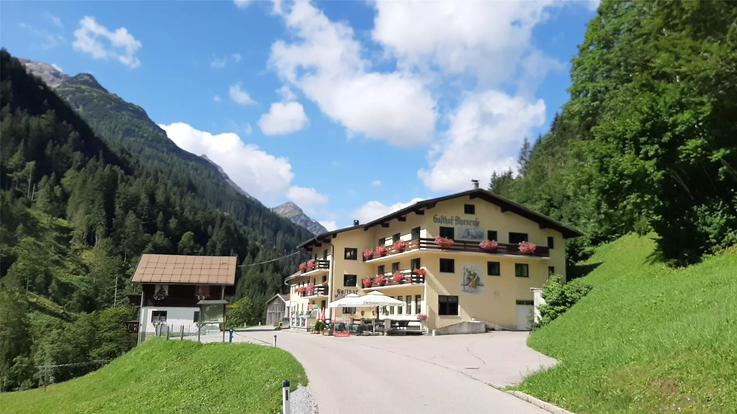
Berggasthof Alpenrose
3.7 km away, in Hinterhornbach
A mountain inn at Hinterhornbach, serving Austrian and regional cooking in the remote village beneath the Hornbach chain.
Skilift Stanzach - Stoamandllift
3.9 km away, in Stanzach
A village ski lift at Stanzach in the Lechtal, its name taken from Stoamandl, the dialect word for a stone cairn figure.
Skilifte Stanzach - Übungslift
3.9 km away, in Stanzach
A practice ski lift at Stanzach, serving the village nursery slope for beginners in the middle Lechtal at 940 m.
Kraftplatz "Am Anger"
4.4 km away, in Hinterhornbach
A designated viewpoint rest area at Hinterhornbach, a remote village at 1,101 m beneath the Hornbach chain of the Allgäu Alps.
Naturparkhaus "Klimmbrücke"
5.1 km away, in Elmen
The visitor centre of the Tiroler Lech nature park at the Klimmbrücke near Elmen, with exhibitions on the wild river landscape.
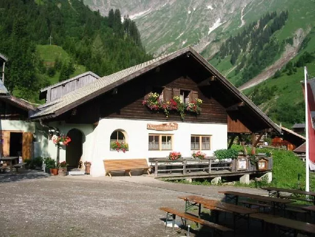
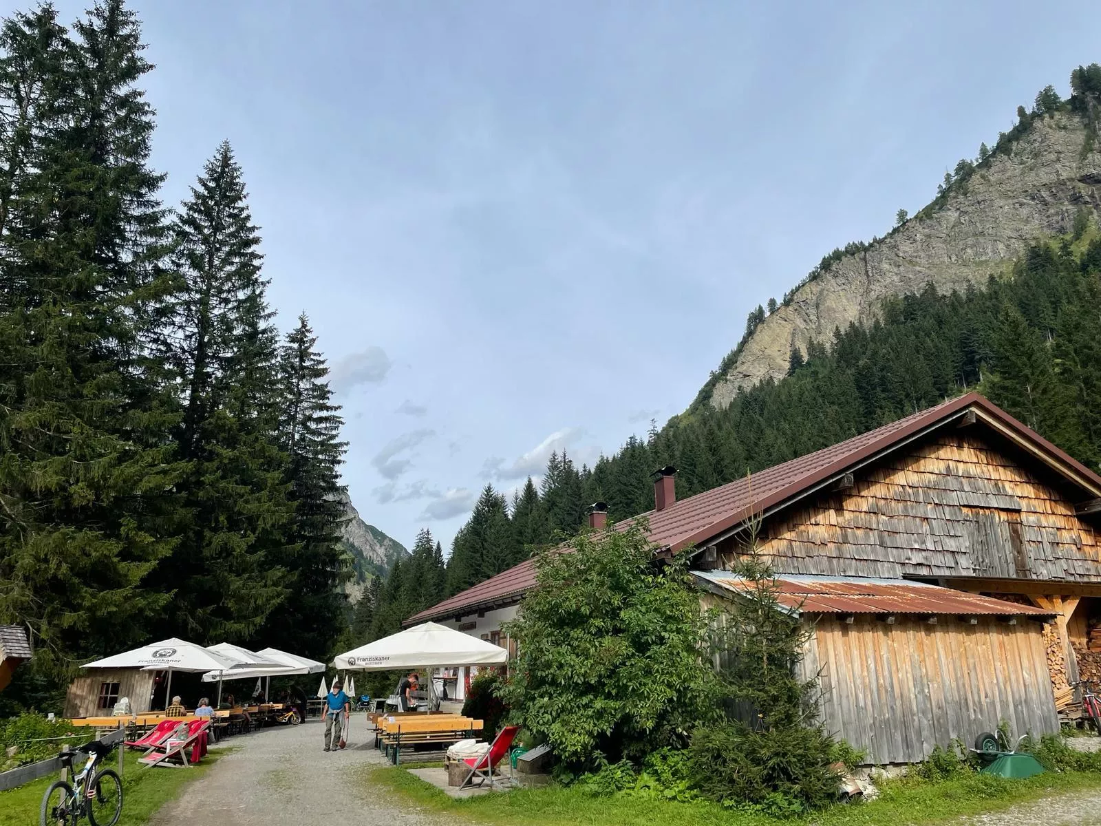
Almwirtschaft Stablalm Elmen 1.412 m
5.1 km away, in Elmen
A working alpine pasture at 1,412 m above Elmen, serving regional food to walkers climbing out of the Lech valley toward the Klimm area.
Frauenschuhgebiet Martinau
5.1 km away, in Elmen
A protected biotope at Martinau near Elmen where the lady's slipper orchid flowers in early summer; guided excursions explain the reserve.
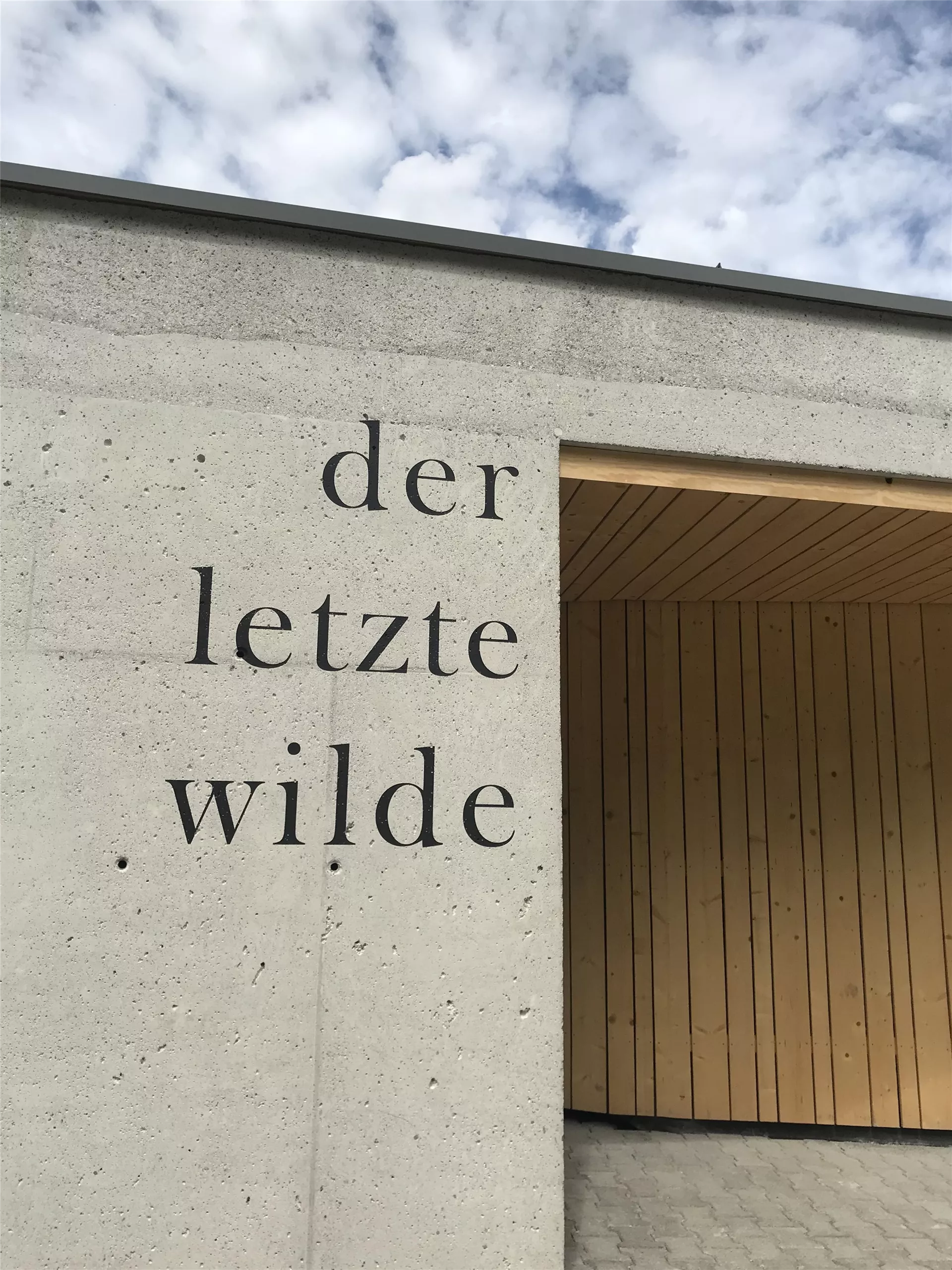
Naturparkzentrum "Der letzte Wilde"
5.2 km away, in Elmen
The visitor centre of the Tiroler Lech nature park at Elmen, with exhibitions on the Lech, one of the last wild river landscapes in the northern Alps.
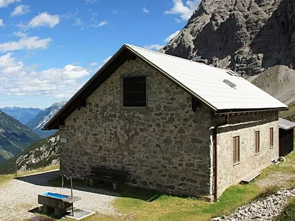
Kaufbeurer Haus 2.007 m
6 km away, in Hinterhornbach
A simple refuge at 2,007 m in the Hornbach chain above Hinterhornbach, a shelter for climbers in this quiet corner of the Allgäu Alps.
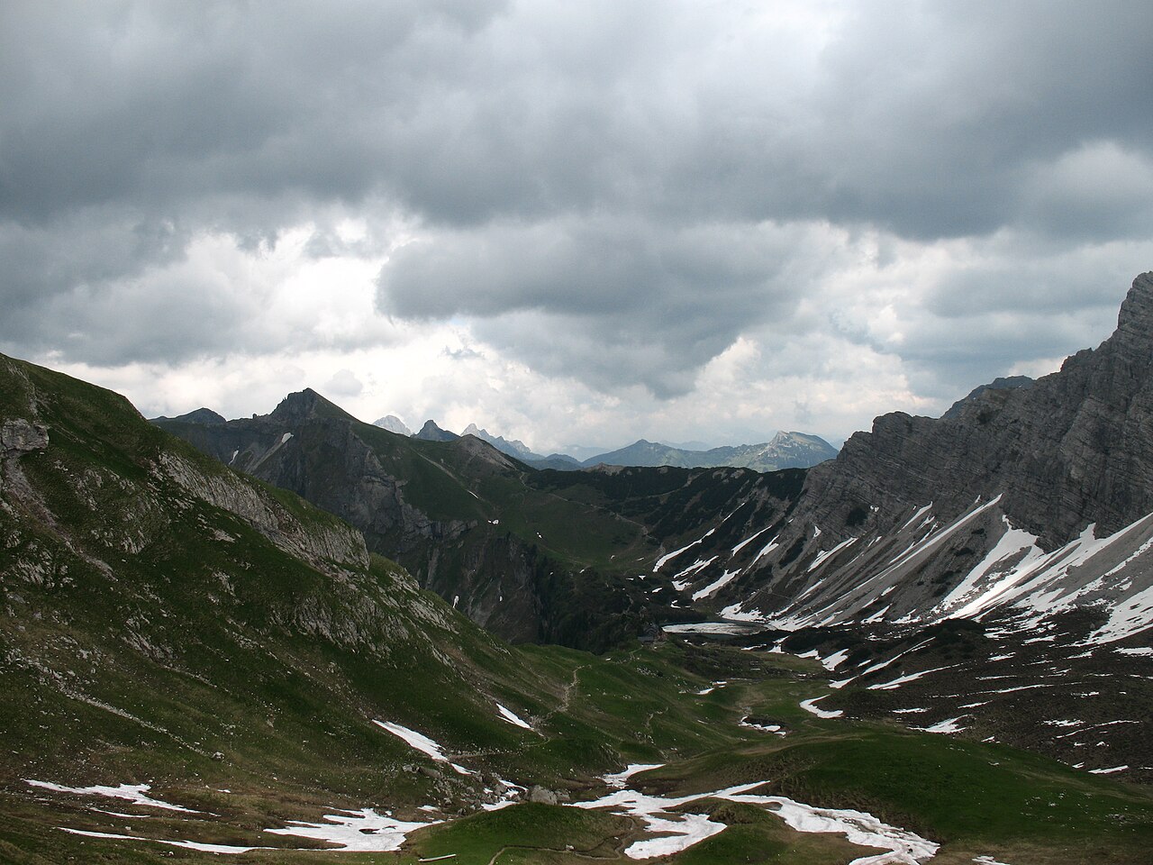
Landsberger Hütte
7.1 km away, in Weißenbach am Lech
A staffed Alpine Club hut in the Tannheim mountains above the Vilsalpsee, reached on foot from Tannheim and a base for ridge walks and climbs.
Michls Fallerscheinstube 1.302 m
9.2 km away, in Stanzach
An alm restaurant at 1,302 m in Fallerschein, a historic log-hut village above Stanzach, serving regional dishes in the summer months.
Sennerstüberl Fallerschein 1.302 m
9.3 km away, in Stanzach
An alm parlour at 1,302 m in Fallerschein, the old log-hut settlement above Stanzach, serving regional dishes to summer visitors.
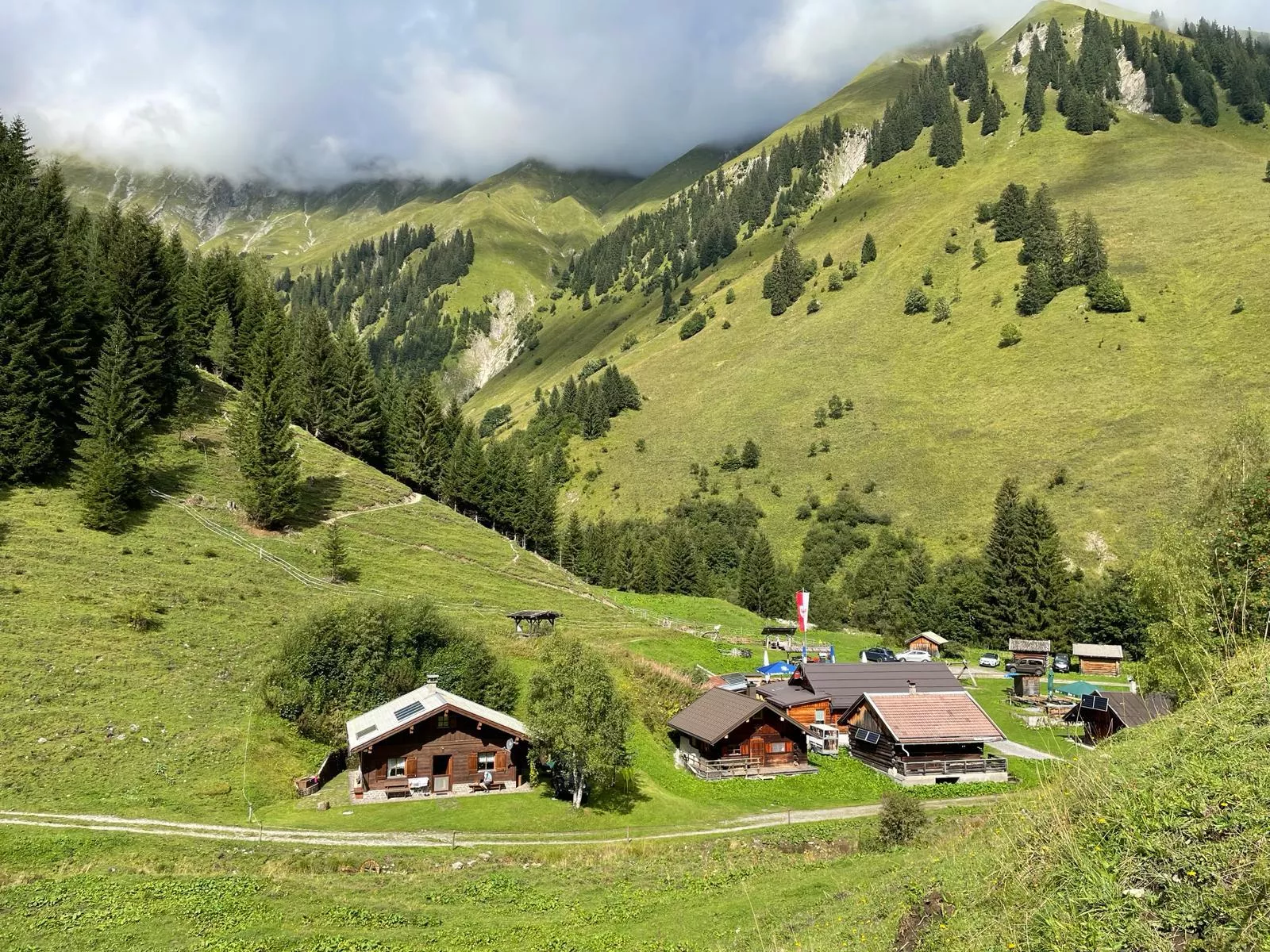
Petersbergalm 1.250 m
10 km away, in Hinterhornbach
An alpine pasture at 1,250 m above Vorderhornbach, serving regional food to walkers in the Hornbach valley of the Allgäu Alps.
Fischwasser Weißenbach und Nesselwängler Ache
11.5 km away, in Weißenbach am Lech
Fly-fishing waters on the Weissenbach and Nesselwängler Ache near Weissenbach am Lech, clear mountain streams in the Tiroler Lech nature park.
Nothing of this kind in Vorderhornbach.
Routes
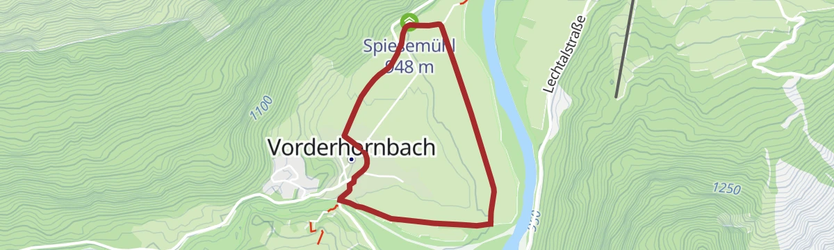
Vorderhornbach - Hornbachrunde
Flat loop from Vorderhornbach along the Hornbach to its junction with the Lech, passing Spiesemühl; walkable in every season and a good leg-stretcher for families.
- 4.8 km
- Distance
- 24 m
- Ascent
- 1 h 12 min
- Duration
- 3
- Check-ins
Stanzach - zum Frauenschuhgebiet
Level valley walk from Stanzach past Spiesemühl to the orchid meadows near Martinau, where Central Europe's largest colony of lady's-slipper blooms in late spring.
- 8.0 km
- Distance
- 34 m
- Ascent
- 1 h 56 min
- Duration
- 3
- Check-ins
Hinterhornbach - Hochvogel
A steep high-alpine climb toward the Hochvogel via the Kaltwinkelscharte, gaining nearly 1,400 m in seven kilometres; the Bäumenheimer Weg is closed because of rockfall danger.
- 7.0 km
- Distance
- 1 386 m
- Ascent
- 5 h 23 min
- Duration
- 16
- Check-ins
Ins Auszeitdorf Hinterhornbach
An easy valley track up the Hornbachtal to the last village at 1,100 m, crossing the Hohe Brücke with the houses already in view.
- 7.6 km
- Distance
- 174 m
- Ascent
- 47 min
- Duration
- 9
- Check-ins
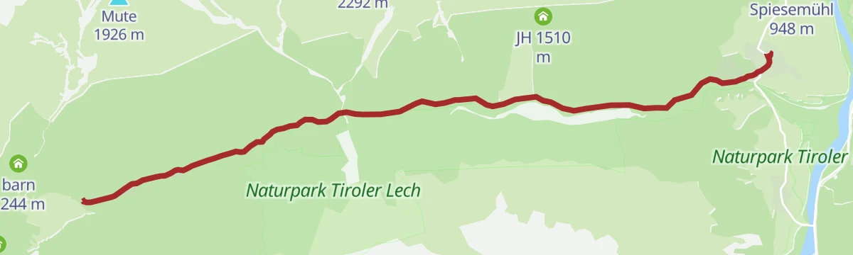
Gravelbike Tour 1.3 - Durch den Naturpark Tiroler Lech
A long gravel run up the Lech valley in Tirol, with the Petersbergalm at 1,250 m and the Drähhüttenalm on the higher sections.
- 79.4 km
- Distance
- 688 m
- Ascent
- 7 h 42 min
- Duration
- 41
- Check-ins
Stanzach-Hinterhornbach
A long valley ride between the Lech and the Tannheimer Tal, crossing the Vils/Lech watershed and passing the Haldensee.
- 79.3 km
- Distance
- 1 439 m
- Ascent
- 8 h 24 min
- Duration
- 71
- Check-ins
Vorderhornbacher Runde
Short village round at Vorderhornbach past Spiesemühl, flat throughout and easily fitted into an hour; a simple introduction to the Lech's floodplain scenery.
- 3.2 km
- Distance
- 22 m
- Ascent
- 49 min
- Duration
- 3
- Check-ins
Vorderhornbach - Baichlsteinrunde
Loop from Vorderhornbach over the wooded Baichlstein knoll, whose top looks down on the Lechzopf, the braided junction where the Hornbach meets the Lech.
- 8.9 km
- Distance
- 203 m
- Ascent
- 2 h 34 min
- Duration
- 3
- Check-ins
Lechwegschleife "Zum Hornbach und zurück"
Long Lechweg side loop from Elmen out to the mouth of the Hornbach valley and back, a full-day round along the river terraces.
- 18.4 km
- Distance
- 627 m
- Ascent
- 5 h 52 min
- Duration
- 5
- Check-ins
Gravelbike Tour 1.3 - Durch den Naturpark Tiroler Lech
A long gravel ride through the Naturpark Tiroler Lech from Weißenbach, taking in the Petersbergalm and the Drähhüttenalm above the river.
- 79.4 km
- Distance
- 1 443 m
- Ascent
- 8 h 24 min
- Duration
- 41
- Check-ins
Stanzach - Auf den Baichlstein
A family climb from Stanzach onto the Baichlstein, a modest wooded summit whose rocky top looks straight down the Lech valley.
- 3.9 km
- Distance
- 245 m
- Ascent
- 1 h 19 min
- Duration
- 1
- Check-ins
Vorderhornbach - Lechuferweg nach Stanzach
River-flat walk from Vorderhornbach along the Lech's bank to Stanzach, suitable for all ages; the braided gravel channels are the show the whole way.
- 7.1 km
- Distance
- 22 m
- Ascent
- 1 h 42 min
- Duration
- 3
- Check-ins
Vorderhornbach - Grubachspitze
Steep, direct climb from Vorderhornbach to the Grubachspitze, gaining 1,100 m in barely 5 km; the grassy top is a fine lookout over the Lech valley and the Hornbach chain.
- 5.5 km
- Distance
- 1 121 m
- Ascent
- 4 h 8 min
- Duration
- 2
- Check-ins
Gravelbike Tour 2.1 - Lechzopf
A long gravel loop out of the Lechtal, taking in the Fallerschein meadows at around 1,300 m and the quiet Hornbach side valley.
- 65.6 km
- Distance
- 1 523 m
- Ascent
- 7 h 16 min
- Duration
- 30
- Check-ins
Lechweg Abschnitt: Vorderhornbach - Stanzach
Brief Lechweg leg from Vorderhornbach to Stanzach, under an hour on an easy path past Spiesemühl; a gentle taste of the long-distance route.
- 3.0 km
- Distance
- 0 m
- Ascent
- 44 min
- Duration
Stanzach - Baichlstein - Höhenweg nach Vorderhornbach
Climbs Stanzach's local lookout rock, the Baichlstein, then follows a high path above the Lech to Vorderhornbach; the modest summit gives a wide view over the braided river.
- 10.0 km
- Distance
- 271 m
- Ascent
- 3 h 1 min
- Duration
- 1
- Check-ins
Vorderhornbach - Frauenschuhgebiet Martinauer Au
A few minutes' level stroll into the Martinauer Au, where thousands of lady's-slipper orchids flower between mid-May and mid-June; easy paths, worth timing for the bloom.
- 762 m
- Distance
- 0 m
- Ascent
- 11 min
- Duration
Vorderhornbach - Stallmähder
Half-day loop from Vorderhornbach up to the Stallmähder hay slopes, alternating forest and open meadow with a steady but never steep 460 m of climbing.
- 11.8 km
- Distance
- 466 m
- Ascent
- 3 h 54 min
- Duration
Vorderhornbach - Krackwiesenrunde
Family loop from Vorderhornbach along the Hornbach and across flower-rich hay meadows on the Krackwiesen; gentle gradients make it workable for young children.
- 4.0 km
- Distance
- 86 m
- Ascent
- 1 h 9 min
- Duration
Alter Skilift Runde
Easy round at Vorderhornbach past the site of the village's old ski lift, on meadow and forest-edge paths with only a little climbing; made for families.
- 4.1 km
- Distance
- 124 m
- Ascent
- 1 h 15 min
- Duration
No routes of this kind in Vorderhornbach yet.
The region's own picks
Featured route
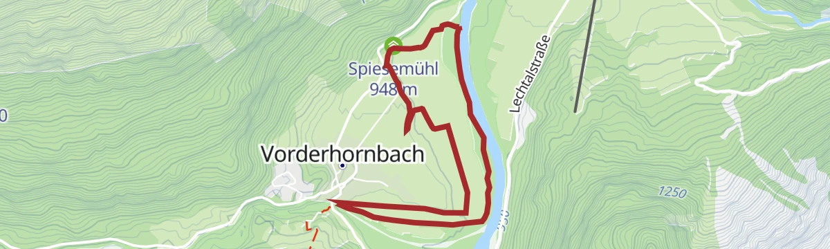
Vorderhornbach - Hornbachrunde
Flat loop from Vorderhornbach along the Hornbach to its junction with the Lech, passing Spiesemühl; walkable in every season and a good leg-stretcher for families.
Planning a trip to Vorderhornbach?
Everything else Tyrol has, in one place


Take Vorderhornbach with you into the mountains
Every route on this page with 3D terrain, GPX navigation and offline maps — including the valleys with no signal.
Data sources
- Official website: lechtal.at ↗
- Routes and highlights: Lechtal Tourismus, Naturparkregion Reutte, Tannheimer Tal
- Published as open data by the tourist boards named above.
- Region summary generated from the board's own material.
