
 Historic site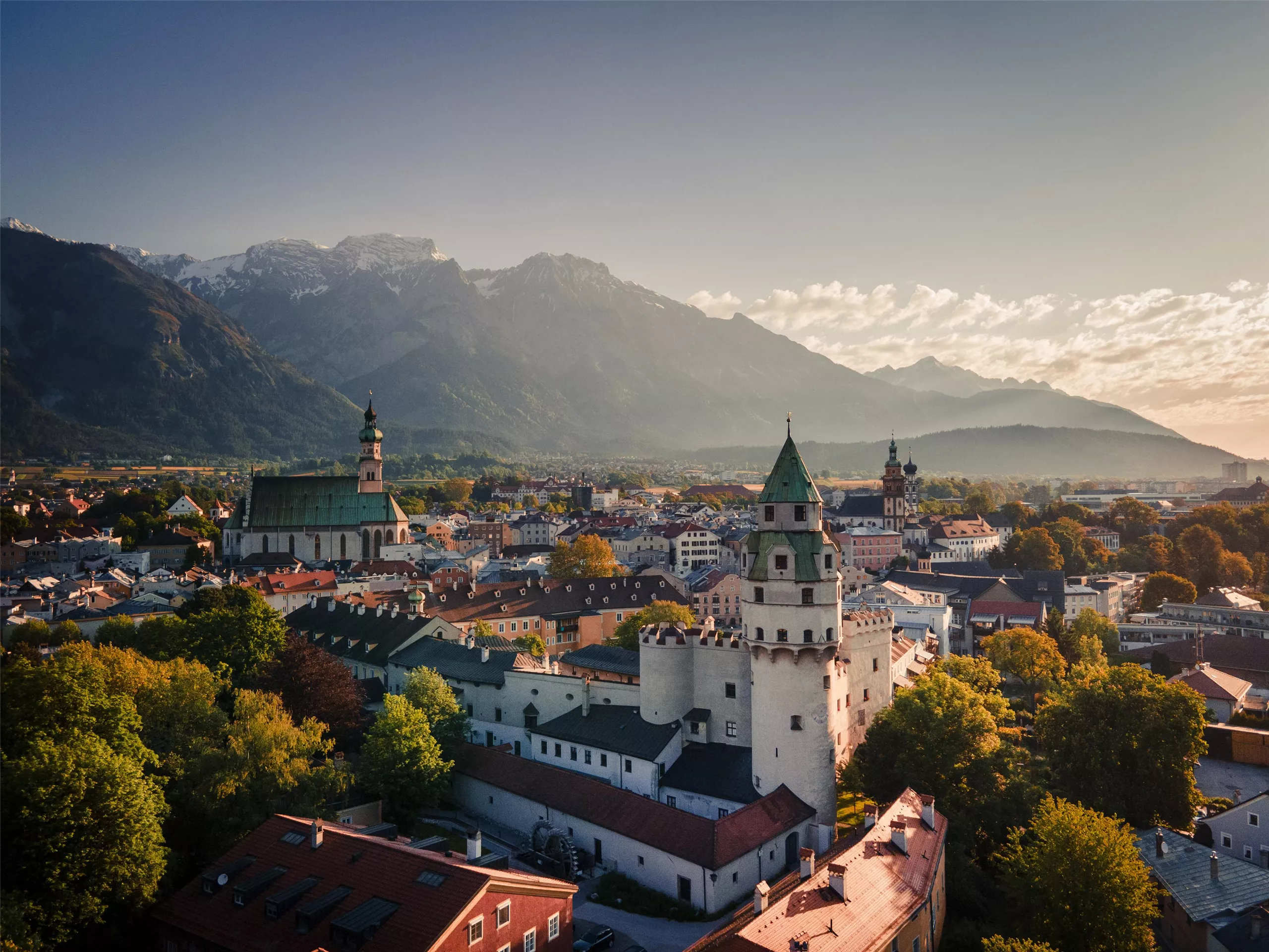
 Cable car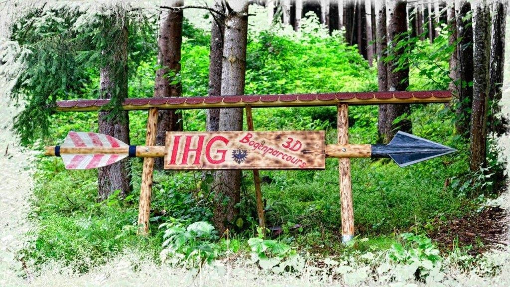














Curated by Region Hall-Wattens
Volders
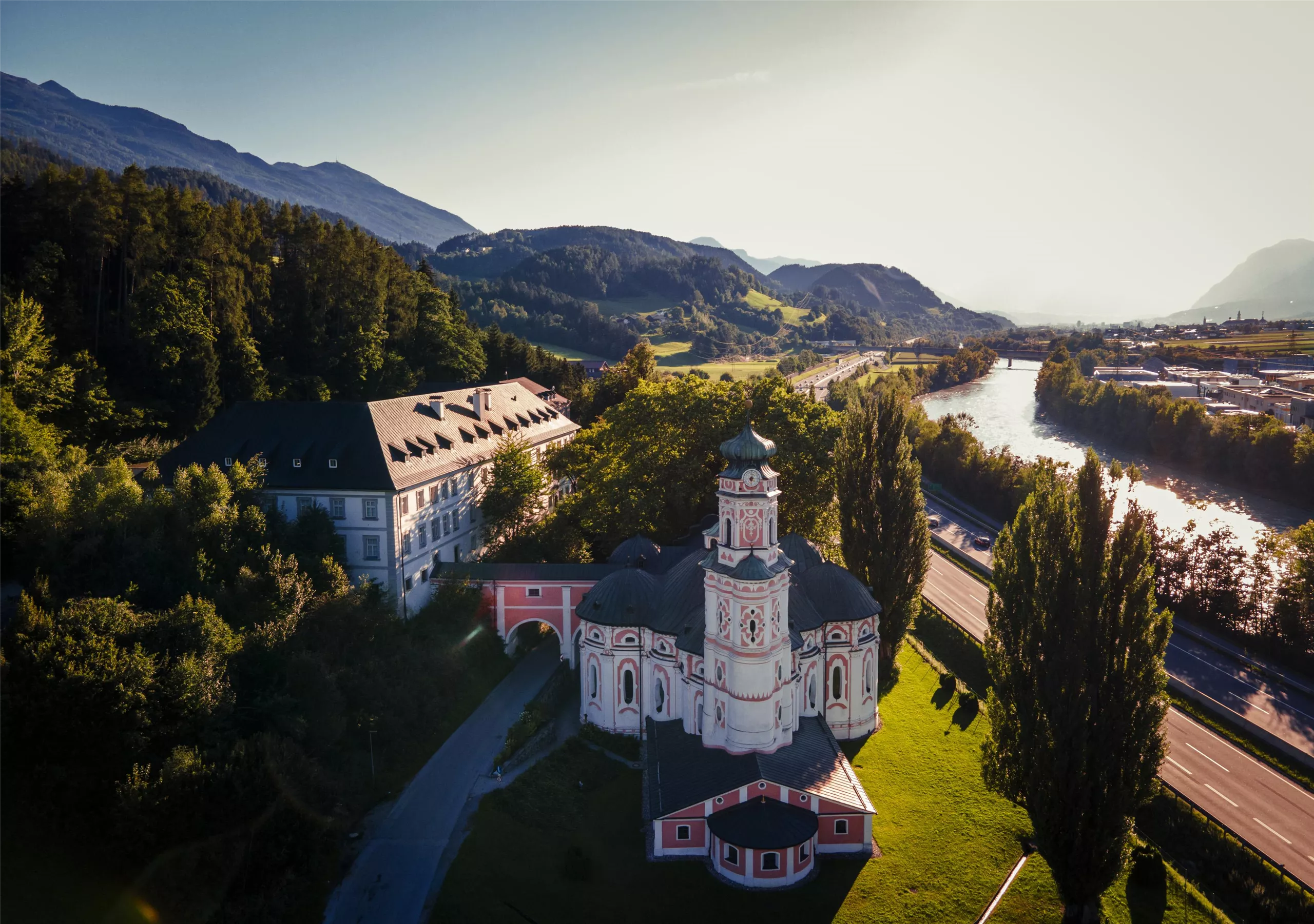
On the south bank of the Inn near Hall, marked by the round baroque Karlskirche and the castles of Friedberg and Aschach on the hillside.
- 6Highlights
- 38Routes
- Featured summit · Gipfelkreuz Haneburger
Highlights
9 from neighbouring places
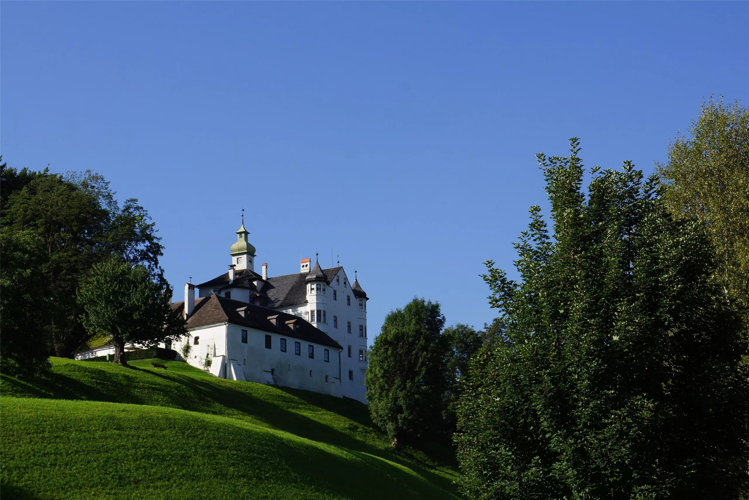
Schloss Aschach
A castle at Volders in the Tyrolean Inn valley, one of a cluster of historic noble seats between Hall in Tirol and Wattens.
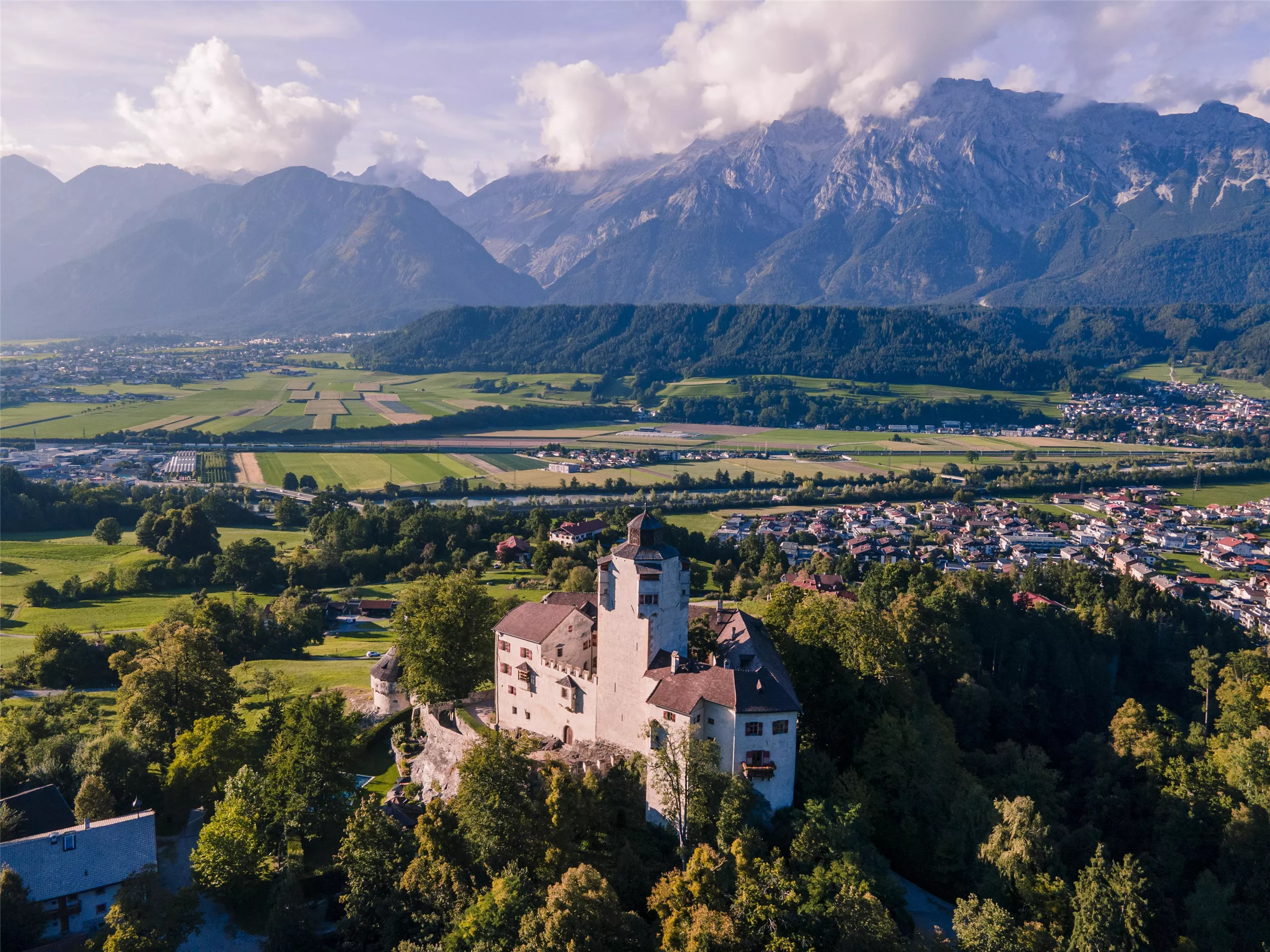
Schloss Friedberg
A medieval hilltop castle above Volders in the Inn valley, in private hands for centuries and occasionally opened for guided visits.
Altstadt Hall in Tirol
The medieval old town of Hall in Tirol, a dense web of lanes, squares and Gothic and baroque buildings that grew wealthy on salt mining and coin minting.
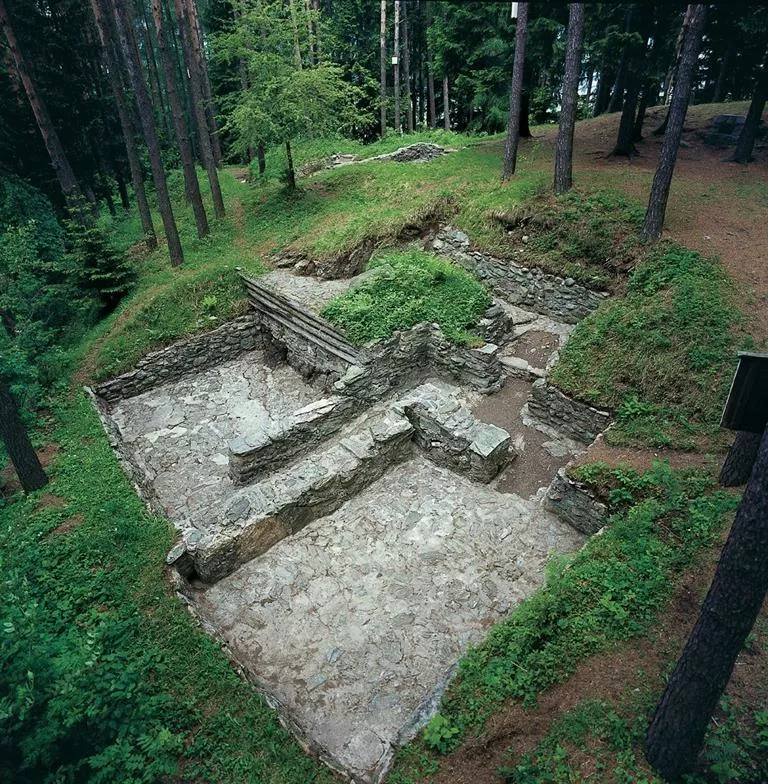
Rätersiedlung Himmelreich Wattens
An open-air archaeological site at Wattens preserving remains of an Iron Age Rhaetian settlement on the Himmelreich terrace above the Inn valley.
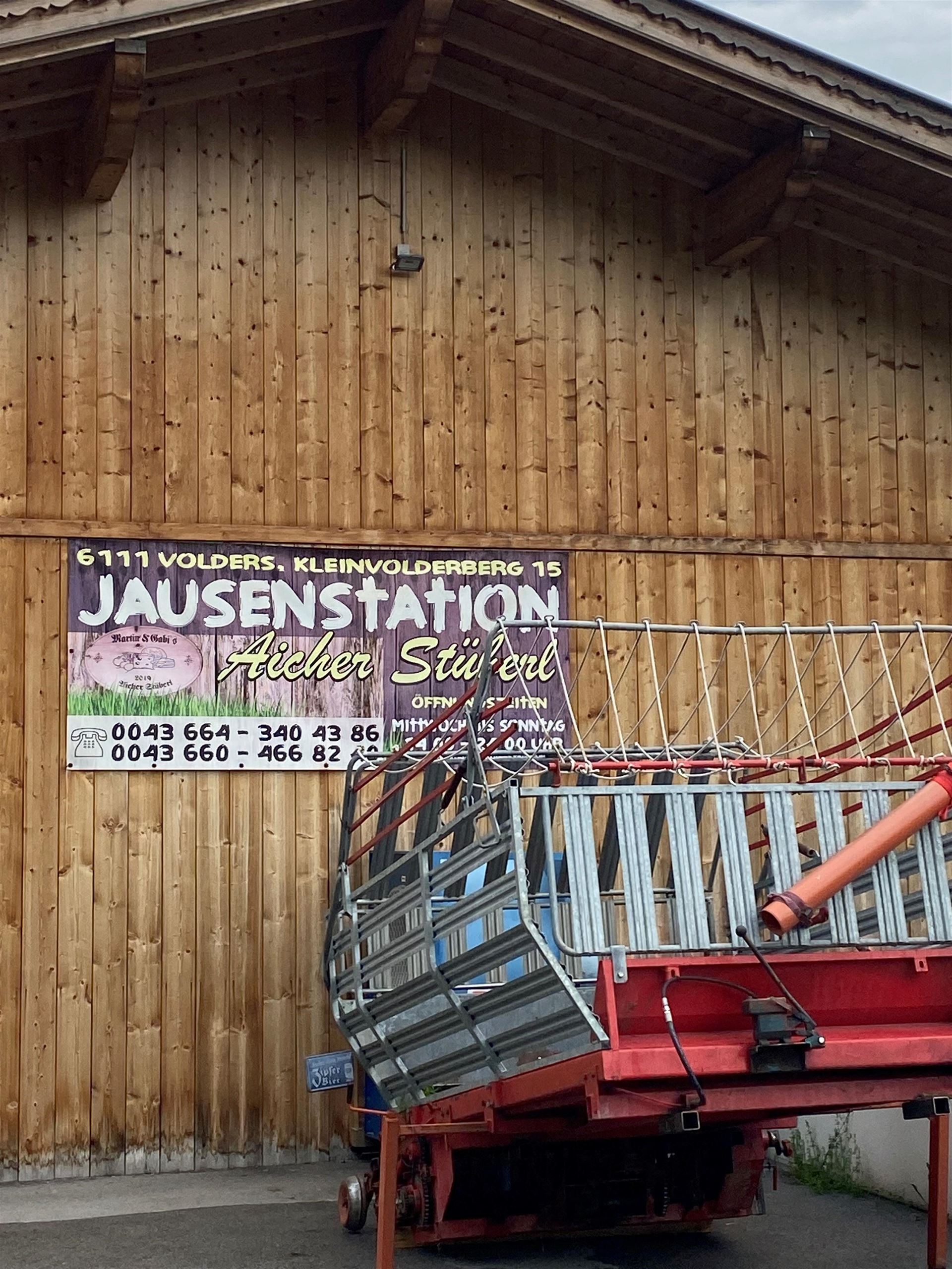
Jausenstation Aicherstüberl
A snack station above Volders serving cold platters and home cooking to walkers on the low paths between the Inn valley villages.
Karlskirche
A 17th-century pilgrimage church at Volders beside the Inn, dedicated to St Charles Borromeo and known for its unusual round baroque plan.
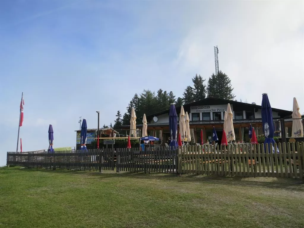
Alpengasthof Halsmarter
1.9 km away, in Tulfes
An alpine inn at Halsmarter, the middle station of the Glungezer lifts above Tulfes, serving walkers and skiers on the way up the mountain.
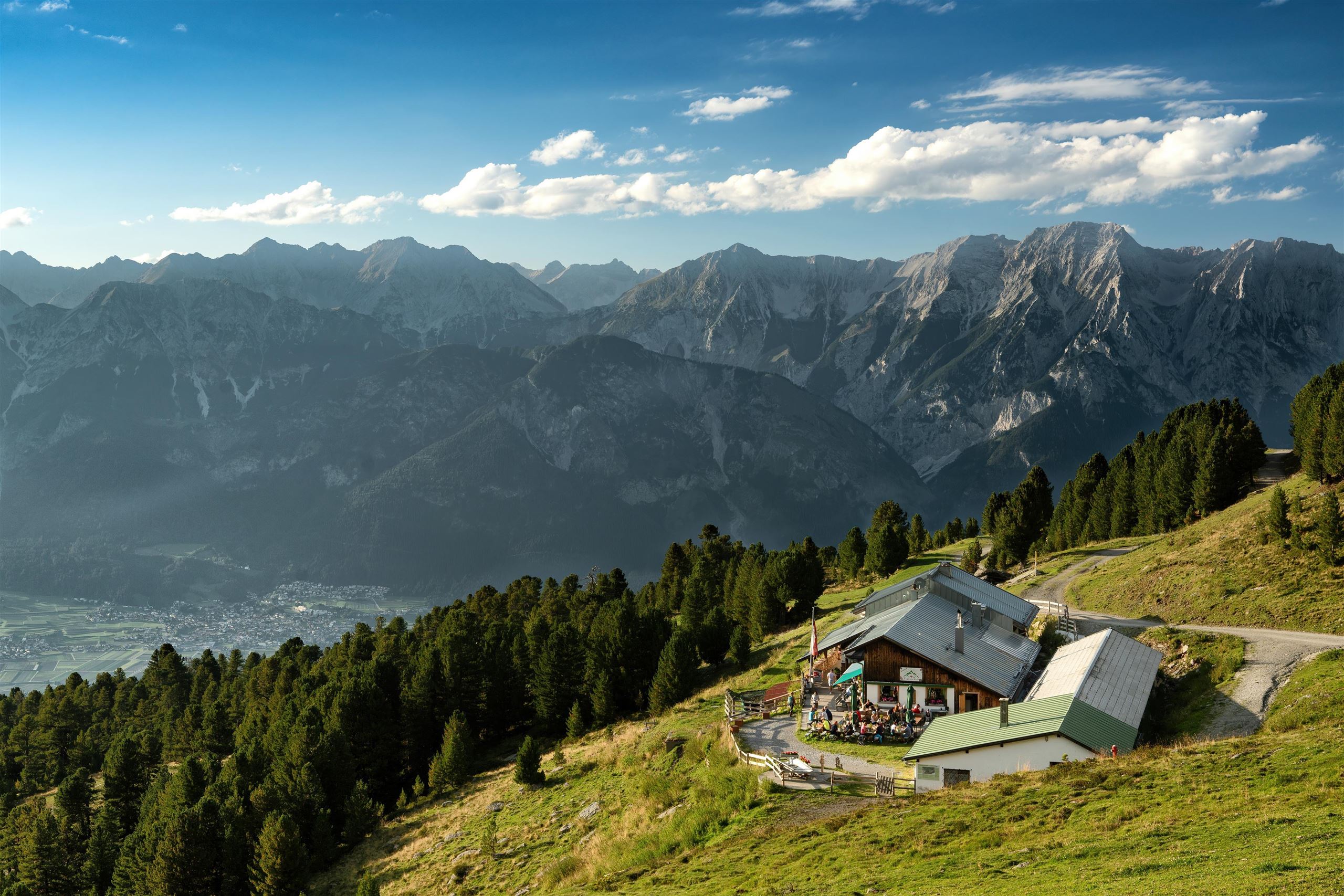
Tulfeinalm
3.4 km away, in Tulfes
An alm near the top station of the Glungezer lifts above Tulfes, serving Austrian dishes to walkers on the Zirbenweg and to winter skiers.
Glungezerbahn
3.4 km away, in Tulfes
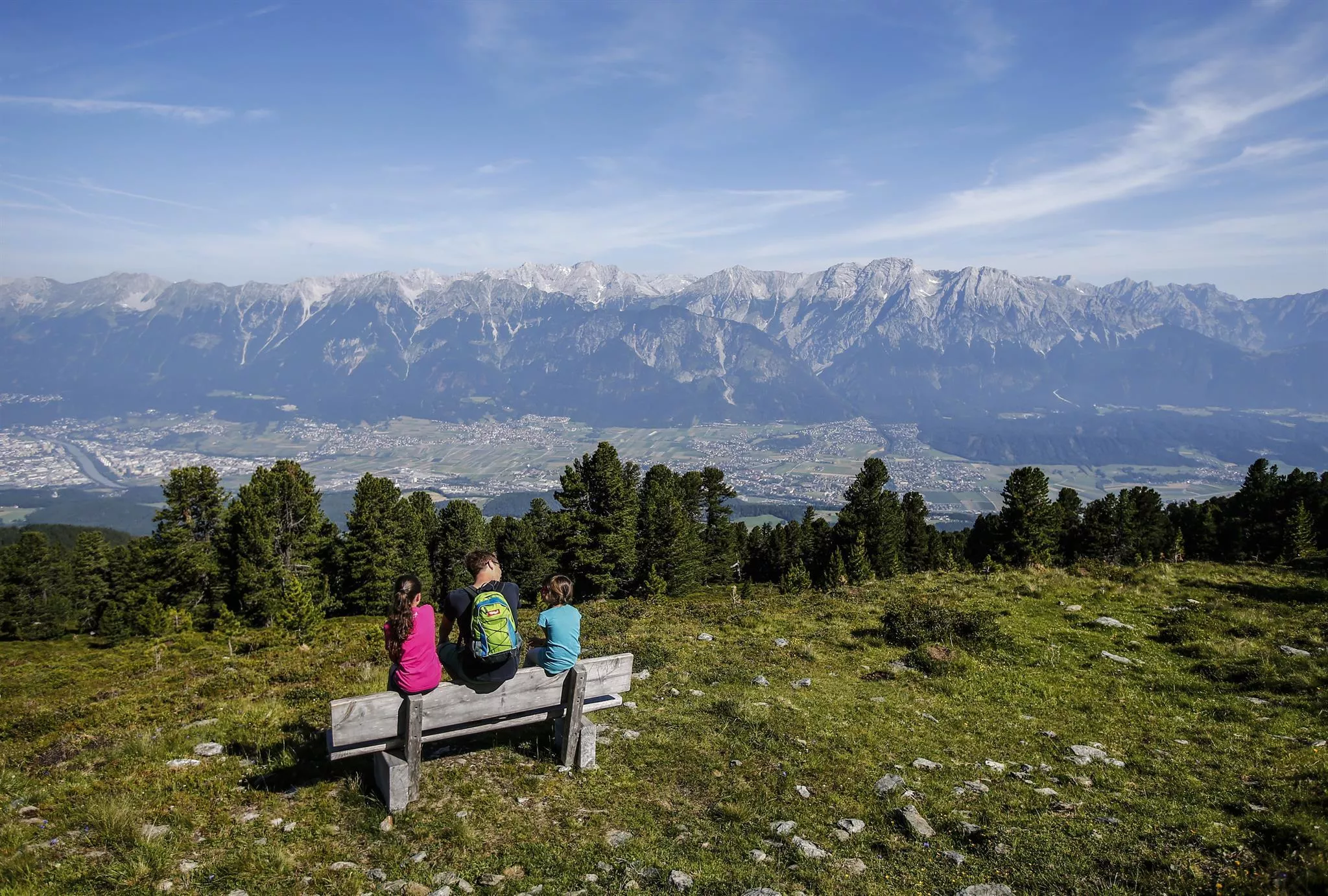
A lift system rising from Tulfes at 923 m towards the Glungezer, carrying walkers to the Zirbenweg stone-pine trail in summer and serving a small ski area in winter.
Bogenschießparcours Tulfes
3.5 km away, in Tulfes
A 3D archery course laid out in the woods near Tulfes, with targets along a walking circuit for beginners and practised archers alike.
Pfarrkirche Tulfes
3.7 km away, in Tulfes
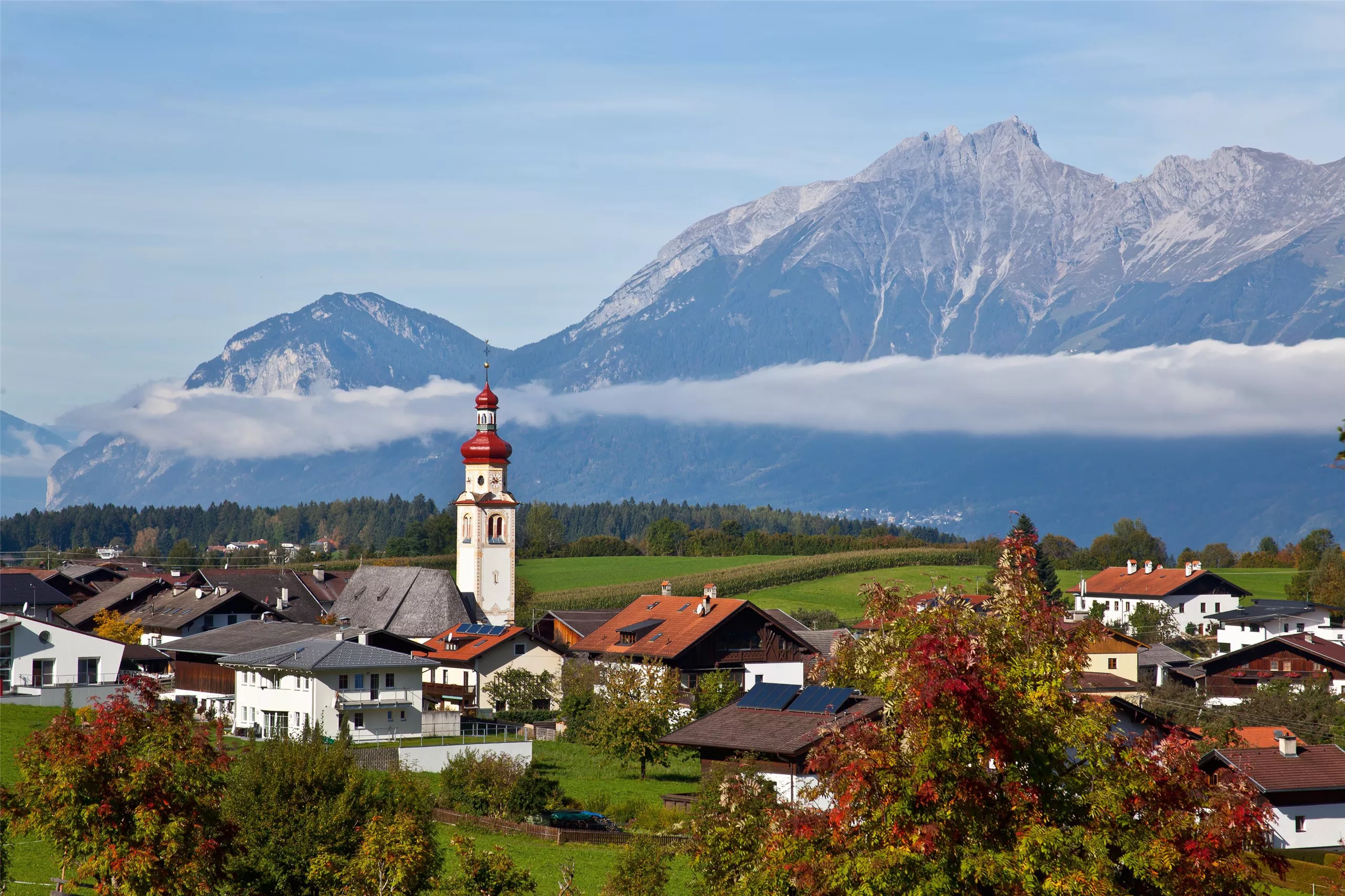
The parish church of Tulfes at 923 m on the sunny plateau above the Inn valley, the centre of the village below the Glungezer.
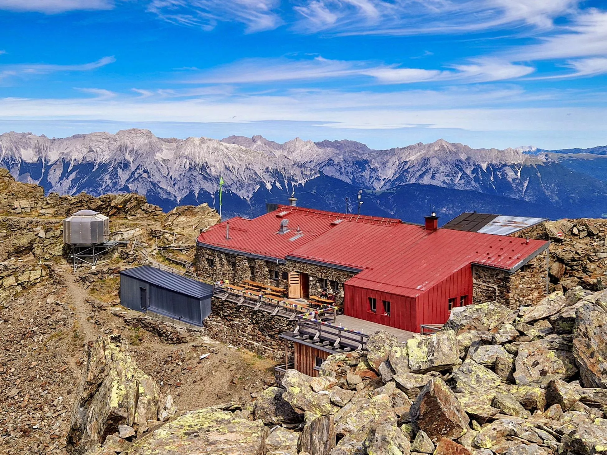
Glungezer-Hütte 2610
4.3 km away, in Tulfes
A hut just below the Glungezer summit at 2,610 m above Tulfes, known for home cooking and as a stage on the long Zirbenweg ridge path.
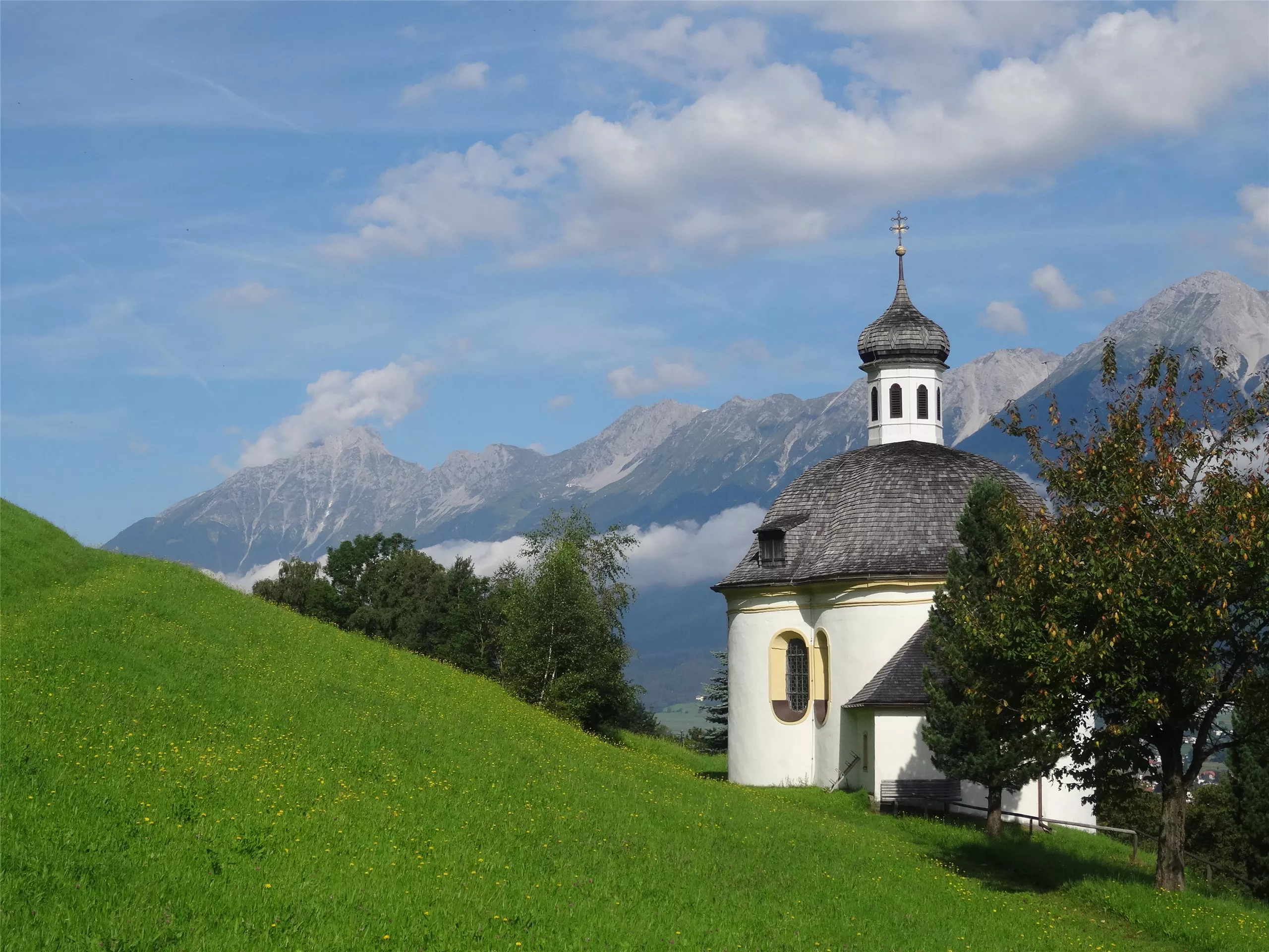
Borgiaskapelle
5 km away, in Tulfes
A small chapel near Tulfes dedicated to St Francis Borgia, a quiet wayside landmark on paths around the village.
Museum Wattens
6.2 km away, in Wattens
The local museum of Wattens, tracing the market town's development from early settlement to its paper-making and crystal industries.
Schreibmaschinenmuseum
6.3 km away, in Wattens
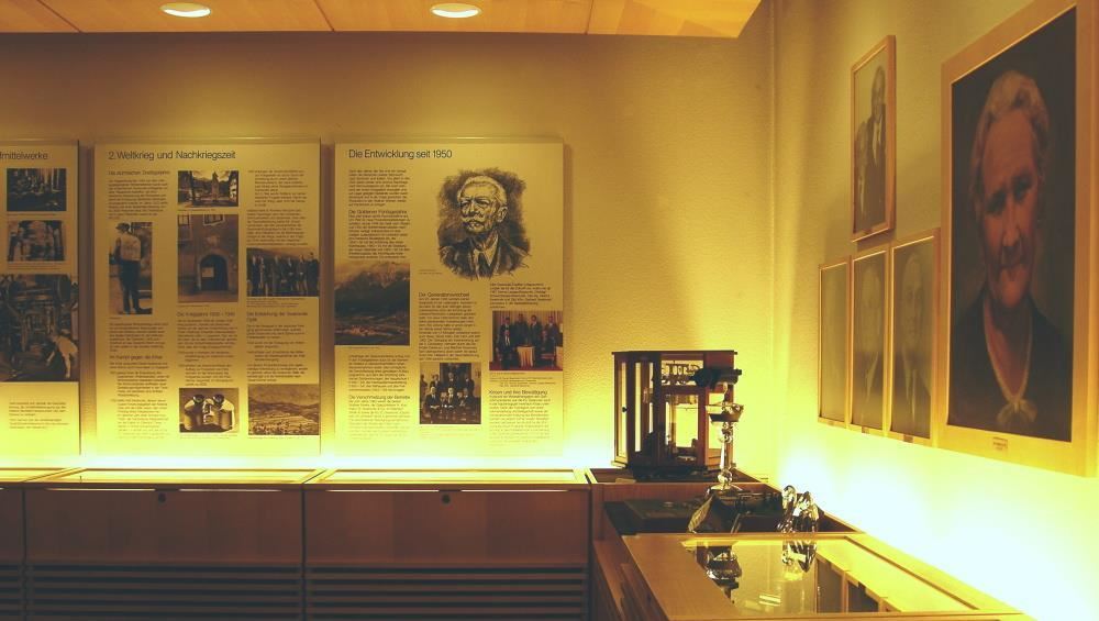
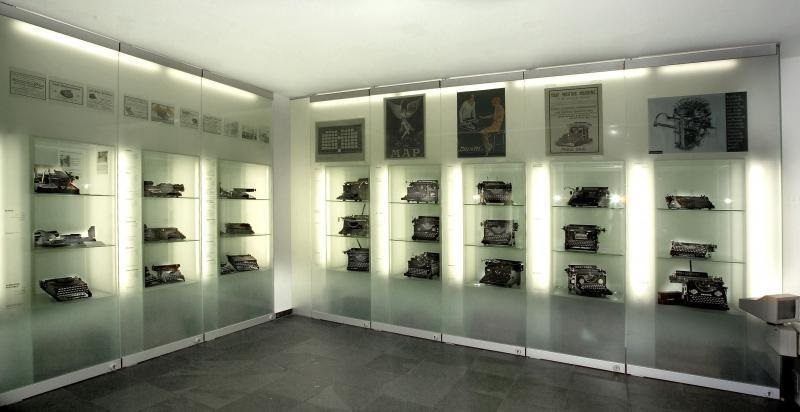
A museum in Wattens devoted to typewriters, displaying a collection of historic writing machines gathered from many countries.
Nothing of this kind in Volders.
Routes
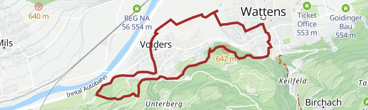
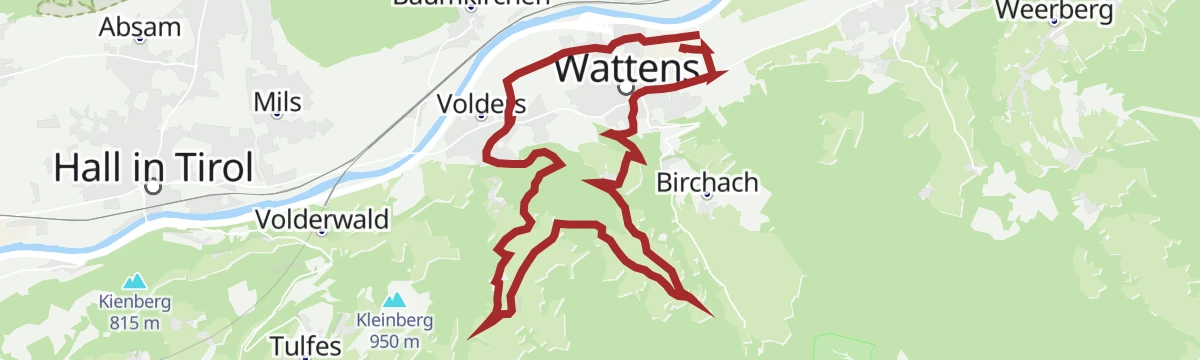
Inntalrunde leichte Nordic Walking Runde in Wattens, Tirol
Flat beginners' walking loop from Wattens out across the fields to Volders and back, with almost no height to gain.
- 4.3 km
- Distance
- 0 m
- Ascent
- 1 h
- Duration
Rundwanderweg Voldertal
Nearly level 9.6 km round from Halsmarter to the Voldertalhütte, returning by the Stiftsalm and Windegg to Tulfes.
- 9.6 km
- Distance
- 54 m
- Ascent
- 2 h 58 min
- Duration
- 11
- Check-ins
Über die Markissalm zur Largozalm
Pasture round of 15.8 km away from the busier paths, taking in the Markisalm, the Voldertalhütte and the Largozalm with 1,016 m of climb.
- 15.8 km
- Distance
- 996 m
- Ascent
- 6 h 48 min
- Duration
- 16
- Check-ins
Skitour auf den Largoz zwischen traumhaften Hängen & Waldabfahrten
Ski tour of 835 m to the Largoz, the front summit of the ridge between the Voldertal and the Wattental; first tracks after new snow mean a very early start.
- 3.2 km
- Distance
- 836 m
- Ascent
- 0 m
- Descent
- 2 h 10 min
- Duration
- 10
- Check-ins
Die längste Skitour Tirols: Von der Karlskirche zum Glungezergipfel
Ski tour of 2,098 m from the Karlskirche in Volders all the way to the summit of the Glungezer, with the Glungezerhütte for food near the top.
- 9.7 km
- Distance
- 2 099 m
- Ascent
- 0 m
- Descent
- 5 h 40 min
- Duration
- 20
- Check-ins
Über Volders zum Sagerkirchl/Wattenberg MTB Route 589
A moderate climb on farm roads out of the Inn valley to the scattered farms of Vögelsberg, topping out near the Engrieserhof at 1,035 m.
- 8.7 km
- Distance
- 474 m
- Ascent
- 1 h 4 min
- Duration
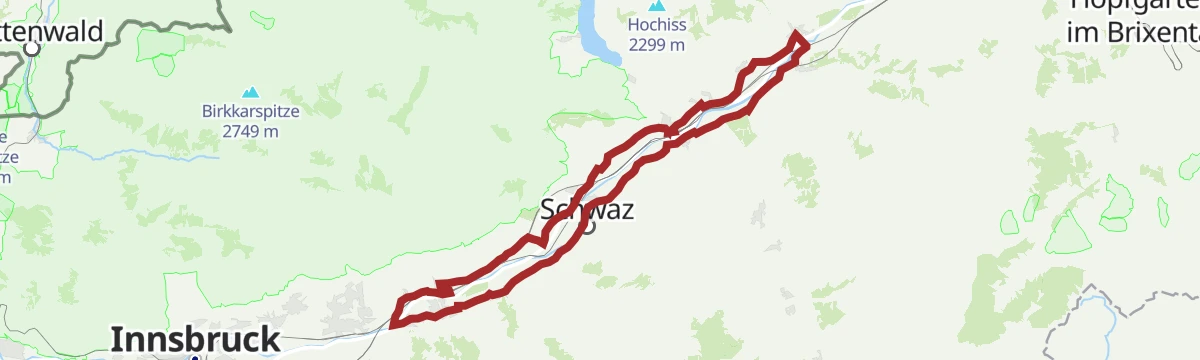
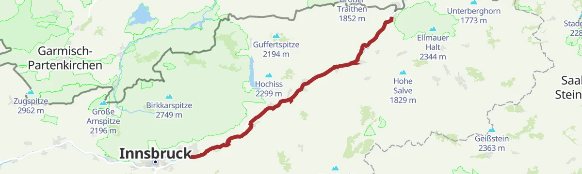
Oberes Unterinntal leichte Rennradtour in Wattens, Tirol
A long, almost flat tour along the Inn valley floor past Schloss Tratzberg, with little more than 300 m of climbing in 75 km.
- 75.7 km
- Distance
- 360 m
- Ascent
- 7 h 3 min
- Duration
- 15
- Check-ins
 Grillalm 523 m
- Hotel Schwarzbrunn 569 m
- Ticket Office 553 m
- Seminarhaus Schloss Tratzberg 544 m
- ECON Holzbau- Zimmerei 530 m
 Maoribrunnen beim Dorfinstallateur 520 m
- +2
Rennrad 14 Hinterhorn Alm
A long road day up the Inn valley from Radfeld, finishing with the toll-road climb to the alm at 1,522 m north of Hall in Tirol.
- 93.9 km
- Distance
- 1 328 m
- Ascent
- 9 h 35 min
- Duration
- 36
- Check-ins
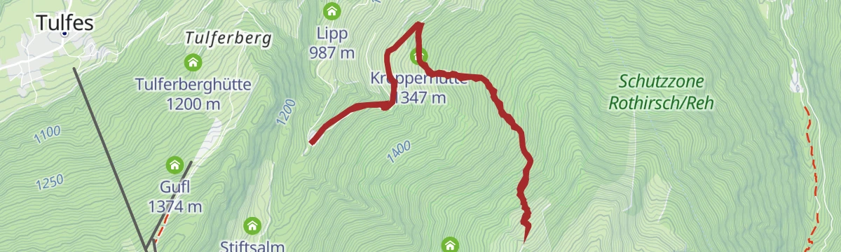
Hinauf auf den Largoz
Straightforward 6.9 km climb of 853 m past the Krepperhütte to the Largoz, the first summit on the ridge above the Voldertal.
- 6.9 km
- Distance
- 850 m
- Ascent
- 5 h 2 min
- Duration
- 10
- Check-ins
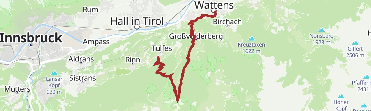
Bergsagen Weitwanderweg: Etappe 2 von Wattens nach Tulfes
Second stage of the mountain-legends long-distance route: from Wattens into the Voldertal to its hut, then over pasture to the Glungezerbahn mid-station and down through forest to Tulfes.
- 18.5 km
- Distance
- 1 106 m
- Ascent
- 6 h 59 min
- Duration
- 11
- Check-ins
Tulfer Mittelgebirgsrunde
A forest-road loop on the terrace above the Inn valley, over the Palmbühel and Kleinberg and through the farms and lifts around Rinn.
- 32.8 km
- Distance
- 685 m
- Ascent
- 3 h 33 min
- Duration
- 6
- Check-ins
Fernradweg München-Venezia: 2. Abschnitt, die Schatzkiste Tirol
A long-distance stage down the Inn valley to Innsbruck and then up the Wipptal to the Brenner Pass, with rail stops at Pill-Vomperbach and Steinach.
- 82.0 km
- Distance
- 1 563 m
- Ascent
- 8 h 45 min
- Duration
- 33
- Check-ins
Von Volderwildbad zur Largozalm
An 8.2 km climb of 822 m from Volderwildbad past the Krepperhütte to the cluster of huts at the Largozalm.
- 8.2 km
- Distance
- 815 m
- Ascent
- 5 h 2 min
- Duration
- 10
- Check-ins
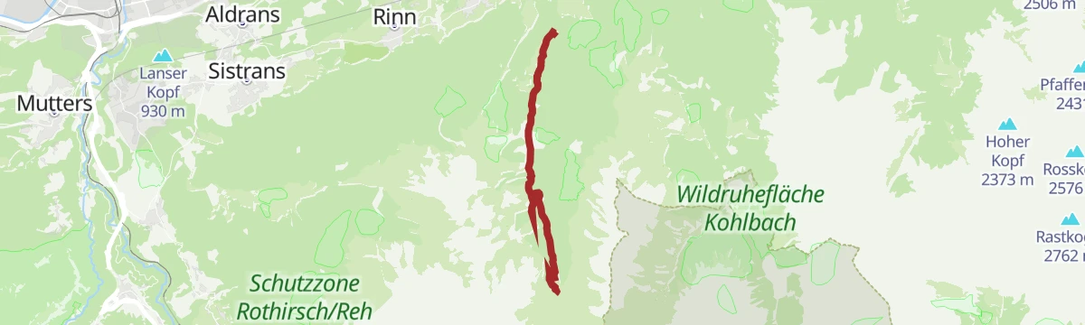
Haneburger
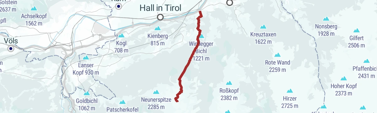
Quiet summit walk in the Voldertal, 11.8 km and 1,205 m of climb past the Markisalm and the Hahneburgeralm to the cross on top.
- 11.8 km
- Distance
- 1 195 m
- Ascent
- 7 h 51 min
- Duration
- 11
- Check-ins
Innradweg Kufstein - Hall
A near-level valley route along the Inn between Kufstein and Hall in Tirol, following the river past Kundl, Rotholz and Pill.
- 72.3 km
- Distance
- 90 m
- Ascent
- 6 h 28 min
- Duration
- 4
- Check-ins
Innsbruck Hochplateau Ride
A demanding tour over the terraces above the Inn valley, taking in the Goldbichl and a string of mid-mountain farms and inns.
- 107.7 km
- Distance
- 2 530 m
- Ascent
- 11 h 57 min
- Duration
- 21
- Check-ins
Schwarzbrunn im Voldertal
An 11.8 km walk up the Voldertal to the spring at Schwarzbrunn, passing the Voldertalhütte, with 510 m of climb.
- 11.8 km
- Distance
- 499 m
- Ascent
- 4 h 1 min
- Duration
- 3
- Check-ins
Senselerweg: Von der Voldertalhütte über das Naviser Jöchl zur Zehenter Alm
Senselerweg stage of 11.7 km crossing from the Voldertal over the Naviser Jöchl into the Navistal, with 1,104 m of climb and the Zehenteralm at the end.
- 11.7 km
- Distance
- 1 255 m
- Ascent
- 6 h 40 min
- Duration
- 10
- Check-ins
Wattener Runde mittelschwere Rennradtour in Hall Tirol
A long climb out of the Inn valley into the Wattental, reaching the Puelacherhütte and Schwaigerhütte at around 1,350 m before the descent.
- 47.3 km
- Distance
- 1 137 m
- Ascent
- 5 h 16 min
- Duration
- 4
- Check-ins
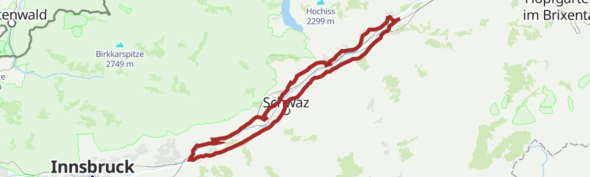
Rennrad 15 Oberes Unterinntal
A rolling road tour along the Inn between Radfeld and Wattens, passing Schloss Tratzberg and the mouth of the Zillertal at Strass.
- 72.4 km
- Distance
- 323 m
- Ascent
- 6 h 44 min
- Duration
- 12
- Check-ins
- Hotel Schwarzbrunn 569 m
- Tourismusinformation Rattenberg-Radfeld-Brixlegg 516 m
- Seminarhaus Schloss Tratzberg 544 m
- ECON Holzbau- Zimmerei 530 m
- Maoribrunnen beim Dorfinstallateur 520 m
- Goidinger Bau 554 m
- +1
Senselerweg: Himmelreich über Volderwildbad zur Voldertalhütte
Valley stage of 13.9 km from Himmelreich in Volders up the Voldertal by the Stiftsalm to the Voldertalhütte, with 826 m of climb.
- 13.9 km
- Distance
- 859 m
- Ascent
- 4 h 43 min
- Duration
- 3
- Check-ins
Naviser Jöchl mittelschwere Bergtour in Tulfes, Tirol
Long day of 29.3 km and 1,710 m of climb up the Voldertal past the Voldertalhütte to the Naviser Jöchl, with the option of crossing into the Navistal.
- 29.3 km
- Distance
- 1 785 m
- Ascent
- 12 h 19 min
- Duration
- 7
- Check-ins
Silberrunde mittelschwere Rennradtour durch Tirol
A tour along the Inn valley floor from Hall in Tirol out past Terfens and Pill, with barely 220 m of climbing in more than 40 km.
- 41.8 km
- Distance
- 183 m
- Ascent
- 3 h 53 min
- Duration
- 3
- Check-ins
After Work
An evening round on the terraces above Hall in Tirol, over the Palmbühel and past the Walderkapelle and the Großer Weiher at 630 m.
- 49.9 km
- Distance
- 1 032 m
- Ascent
- 5 h 24 min
- Duration
- 8
- Check-ins
Von Volderwildbad zur Stiftsalm
A 9.3 km walk from Volderwildbad by the Stiftsalm and its Hochleger up to the Voldertalhütte, with 479 m of climb.
- 9.3 km
- Distance
- 464 m
- Ascent
- 3 h 24 min
- Duration
- 3
- Check-ins
Naviser Sonnenspitze
Long valley approach and 1,516 m of climb over 22.9 km to the twin tops of the Naviser Sonnenspitze, looking across into the Tuxer Alps.
- 22.9 km
- Distance
- 1 554 m
- Ascent
- 10 h 25 min
- Duration
- 7
- Check-ins
Von der Karlskirche zur Steinkasernalm MTB Route 5079
A long forest-road climb up the Voldertal from Volders, gaining nearly 1,450 m past the Voldertalhütte and the Vorbergalm.
- 15.9 km
- Distance
- 1 459 m
- Ascent
- 2 h 27 min
- Duration
- 3
- Check-ins
Rund um Innsbruck
A long road loop over the terraces east of Innsbruck, through Rinn and Ampass and down to the Inn at Fritzens and Wattens.
- 60.6 km
- Distance
- 1 464 m
- Ascent
- 6 h 45 min
- Duration
- 8
- Check-ins
Historischer Rundlauf
Running and walking loop around Wattens that links the Räter settlement at Himmelreich, the castles of Aschach and Friedberg, and the Karlskirche.
- 9.4 km
- Distance
- 219 m
- Ascent
- 2 h 45 min
- Duration
Entlang des Voldertalbaches zur Steinkasernalm
Walk of 9.9 km up the Voldertal beside the stream, gaining 934 m by way of the Vorbergalm to the Steinkasernalm.
- 9.9 km
- Distance
- 915 m
- Ascent
- 4 h 5 min
- Duration
- 3
- Check-ins
Fernradweg München Venedig in der Region Hall Wattens
The Munich to Venice long-distance route where it runs level along the Inn through Hall and Wattens.
- 26.3 km
- Distance
- 20 m
- Ascent
- 2 h 21 min
- Duration
- 2
- Check-ins
Innradweg - Tiroler Unterland - Radwanderroute 2
A long day on the Inn valley cycle route, running downstream from Innsbruck through Hall in Tirol to Rattenberg, Brixlegg and Kundl.
- 99.6 km
- Distance
- 95 m
- Ascent
- 8 h 58 min
- Duration
- 5
- Check-ins
Kleinvolderberg - Volderwildbad
Small round of 11.5 km from Kleinvolderberg down to Volderwildbad at the mouth of the Voldertal, with 553 m of climb.
- 11.5 km
- Distance
- 553 m
- Ascent
- 4 h 6 min
- Duration
UCI Straßenrad WM 2018 Einzelzeitfahren
A flat racing line on the valley floor between Wattens and Innsbruck, ridden as the individual time trial at the 2018 road worlds.
- 20.7 km
- Distance
- 174 m
- Ascent
- 1 h 60 min
- Duration
- 2
- Check-ins
Innradweg von Innsbruck bis Wörgl
A near-flat run downstream along the Inn from Innsbruck to Wörgl, passing Hall in Tirol and the villages of the lower valley.
- 68.5 km
- Distance
- 268 m
- Ascent
- 6 h 20 min
- Duration
- 3
- Check-ins
Innradweg
A flat valley-floor route along the Inn, running downstream from Innsbruck's old town past Hall in Tirol towards Terfens and Weer.
- 31.8 km
- Distance
- 10 m
- Ascent
- 2 h 50 min
- Duration
- 1
- Check-ins
Innradweg
Ninety-seven kilometres of near-level cycle path along the Inn, from Mötz past Telfs and Innsbruck down to Rotholz.
- 86.9 km
- Distance
- 245 m
- Ascent
- 7 h 56 min
- Duration
- 2
- Check-ins
Kurzer Sprint am Volderberg
A quick climb from Wattens up to the hamlets of Vögelsberg at around 900 m, then straight back down to the valley.
- 19.6 km
- Distance
- 527 m
- Ascent
- 2 h 14 min
- Duration
No routes of this kind in Volders yet.
The region's own picks

Featured route
Inntalrunde leichte Nordic Walking Runde in Wattens, Tirol
Flat beginners' walking loop from Wattens out across the fields to Volders and back, with almost no height to gain.
Planning a trip to Volders?
Everything else Tyrol has, in one place


Take Volders with you into the mountains
Every route on this page with 3D terrain, GPX navigation and offline maps — including the valleys with no signal.
Data sources
- Official website: hall-wattens.at ↗
- Routes and highlights: Region Hall-Wattens, Innsbruck Tourismus, Alpbachtal Tourismus, Wipptal Tourismus, Kitzbüheler Alpen Tourismus
- Published as open data by the tourist boards named above.
- Region summary generated from the board's own material.
